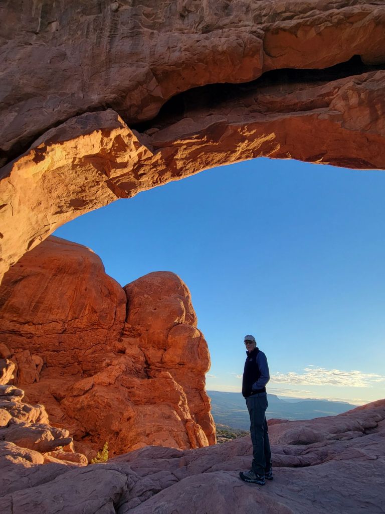
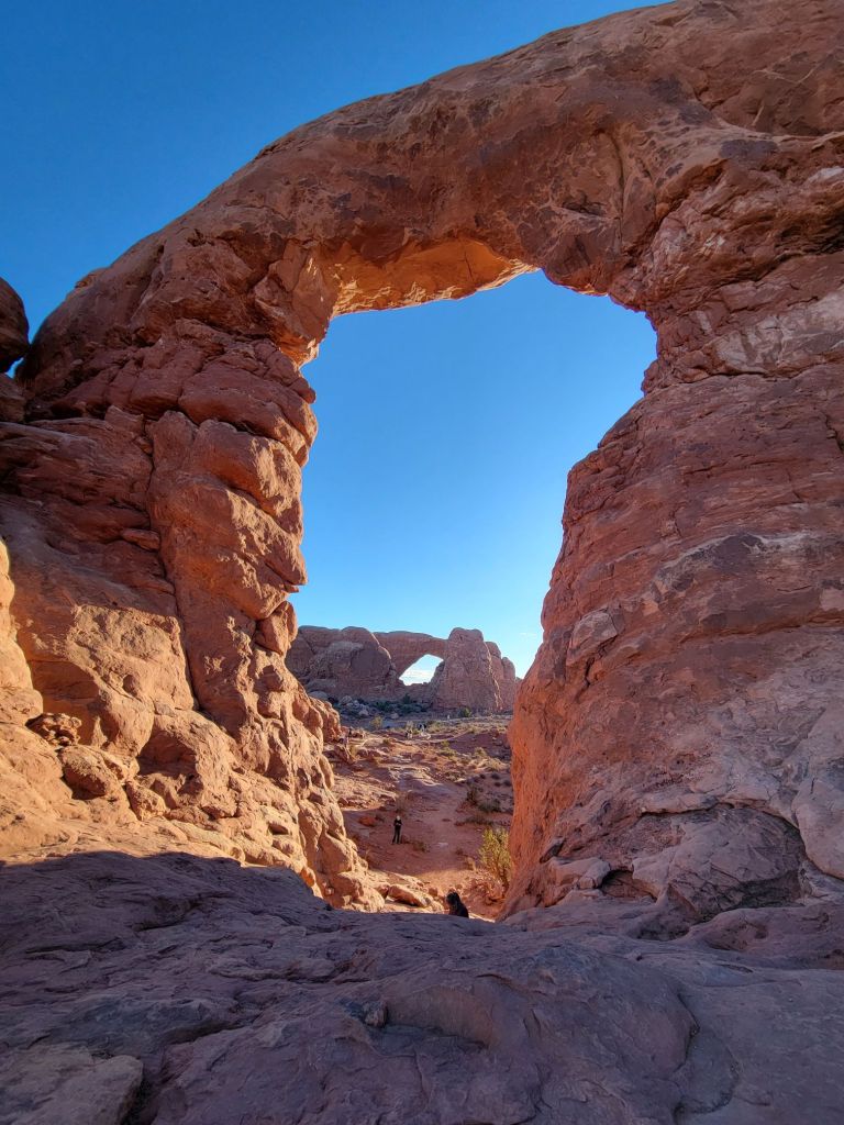
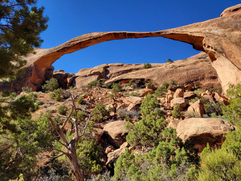
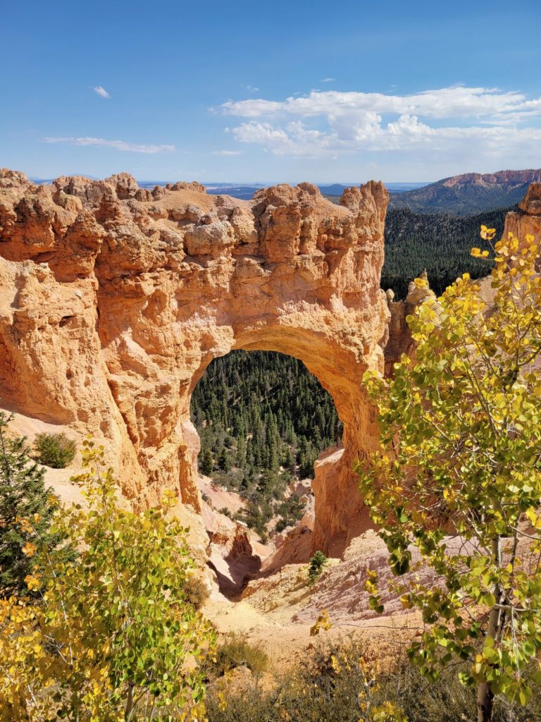
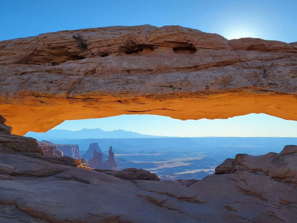
Mesa Arch
This morning I hauled myself out of bed at 5:00 a.m. so that we could drive to Canyonlands National Park to see the sun rise through Mesa Arch.
Our first clue that this plan might go awry was the packed parking lot when we arrived. After walking the short trail to the arch, this is what greeted us:
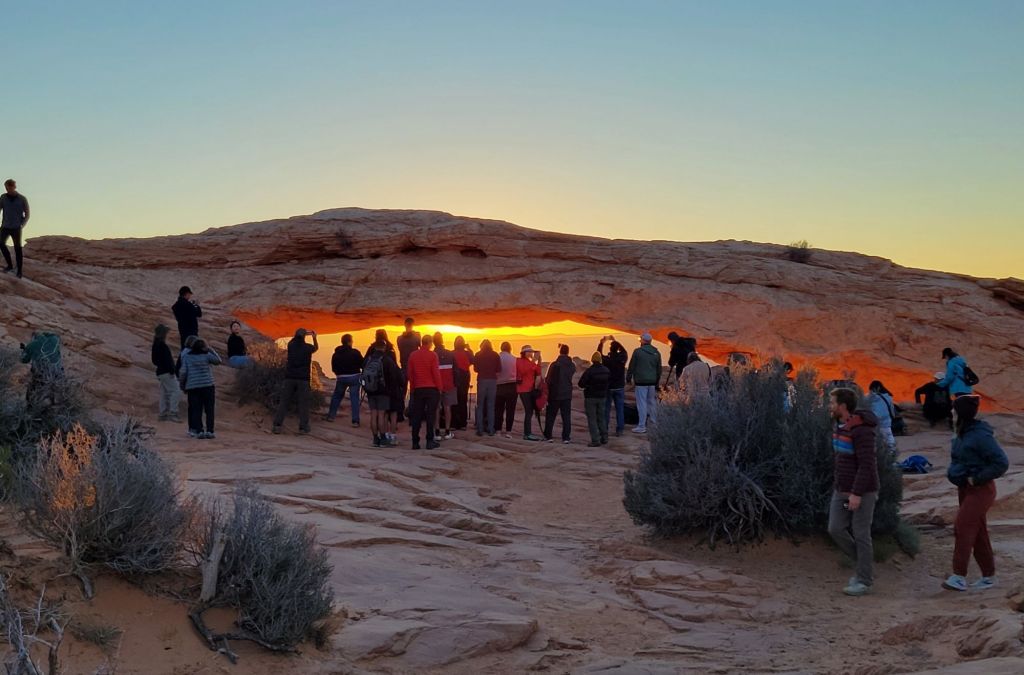
To say that I was disappointed would be a vast understatement.
Not only was the arch crowded with people, but they were all simply standing in front of the arch chatting with one another.
There was no way to get close to the arch, much less take a photo. And no one showed the slightest inclination to step aside for those of us who might like a photo without strangers in it. I confess that I may have experienced a significant degree of rage.
One guy had a tripod set up in front of the arch, taking a video of the sun rising. It was impossible to get a photo without having that tripod in the frame. I was so tempted to give it a little push right into the canyon! 🤬
I was also tempted to stand behind them with my cell phone at the ready and shout, “Smile for the camera! I want a record of all the assholes here this morning!”
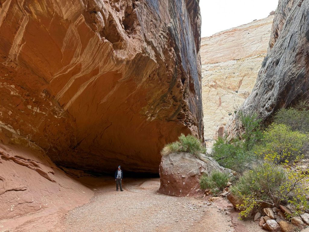
I didn’t do any of those things, of course. Instead, Greg and I slunk away and headed to Grand View Overlook to see what that might offer.
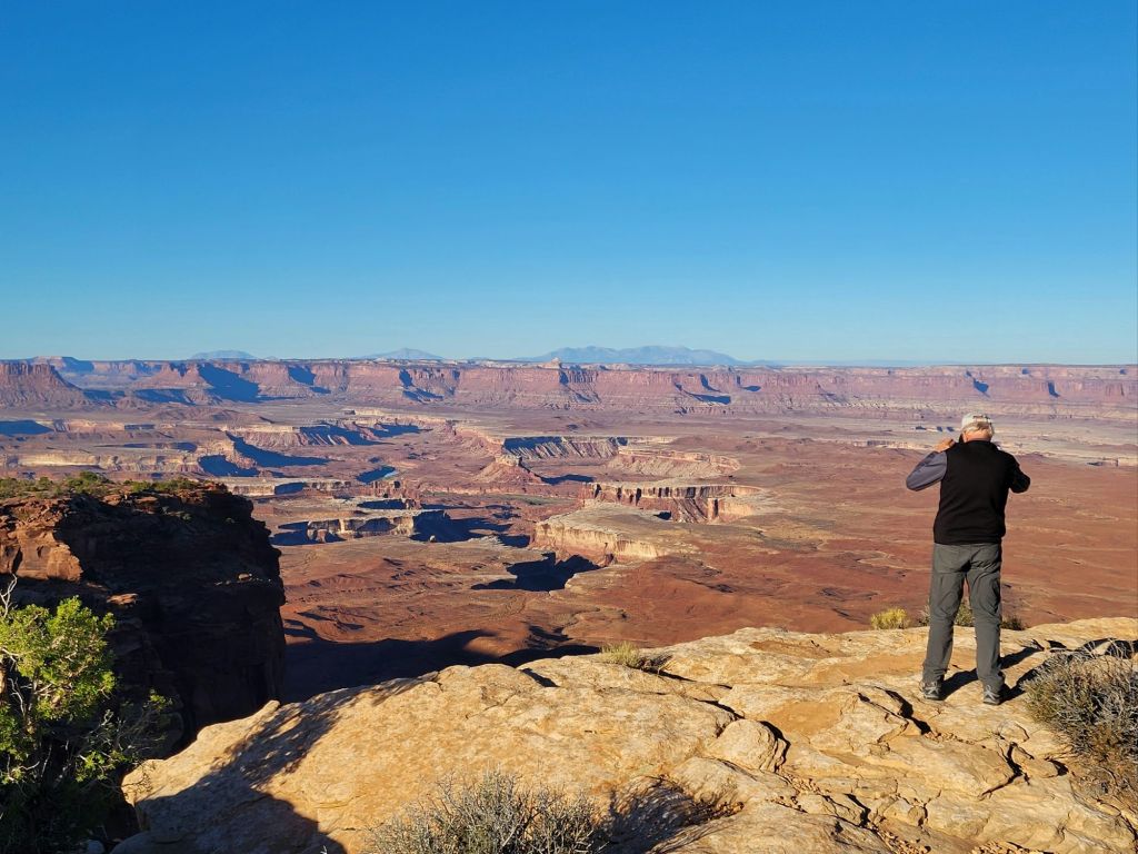
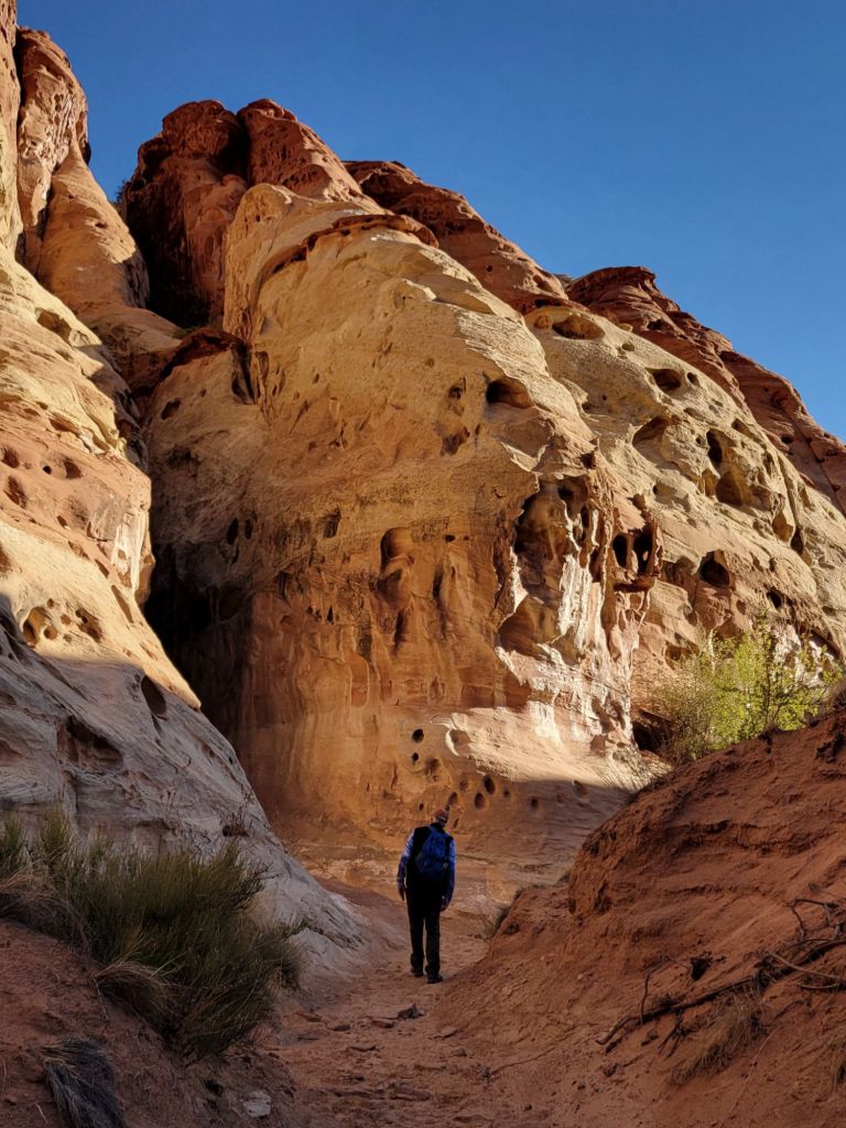
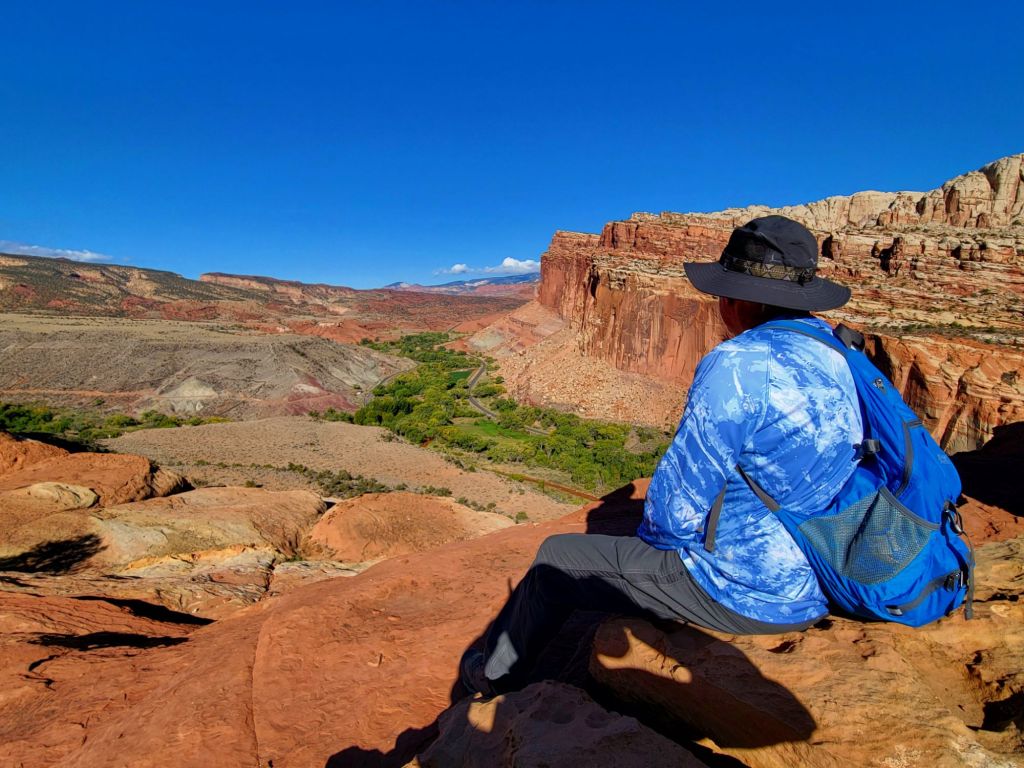
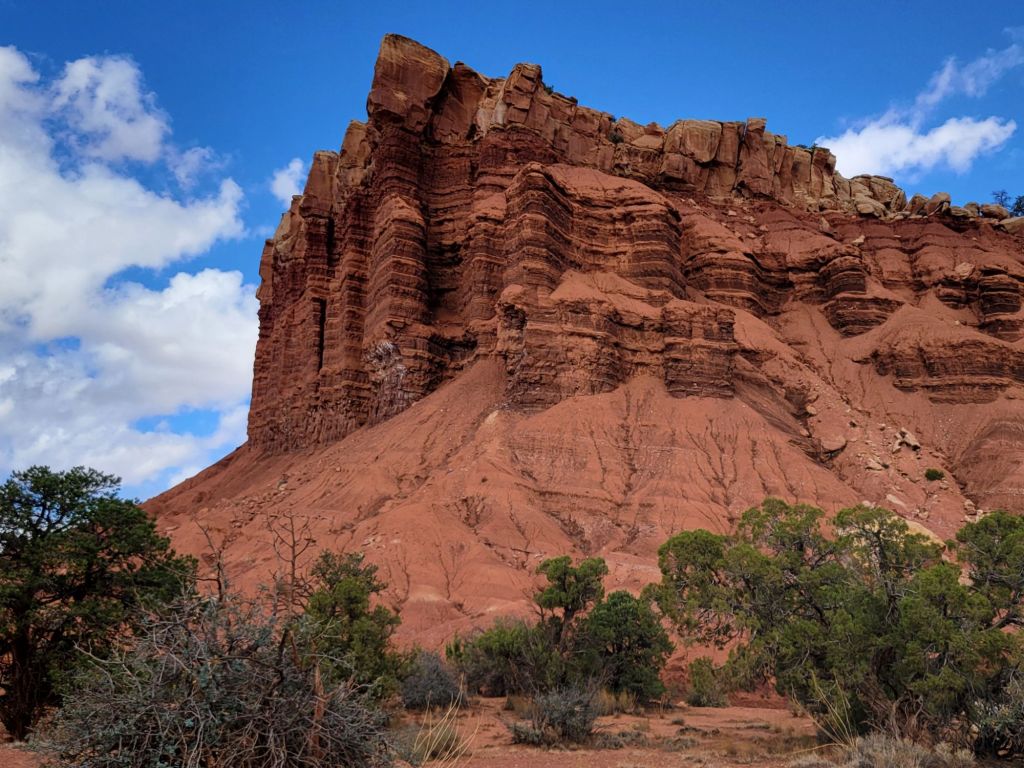
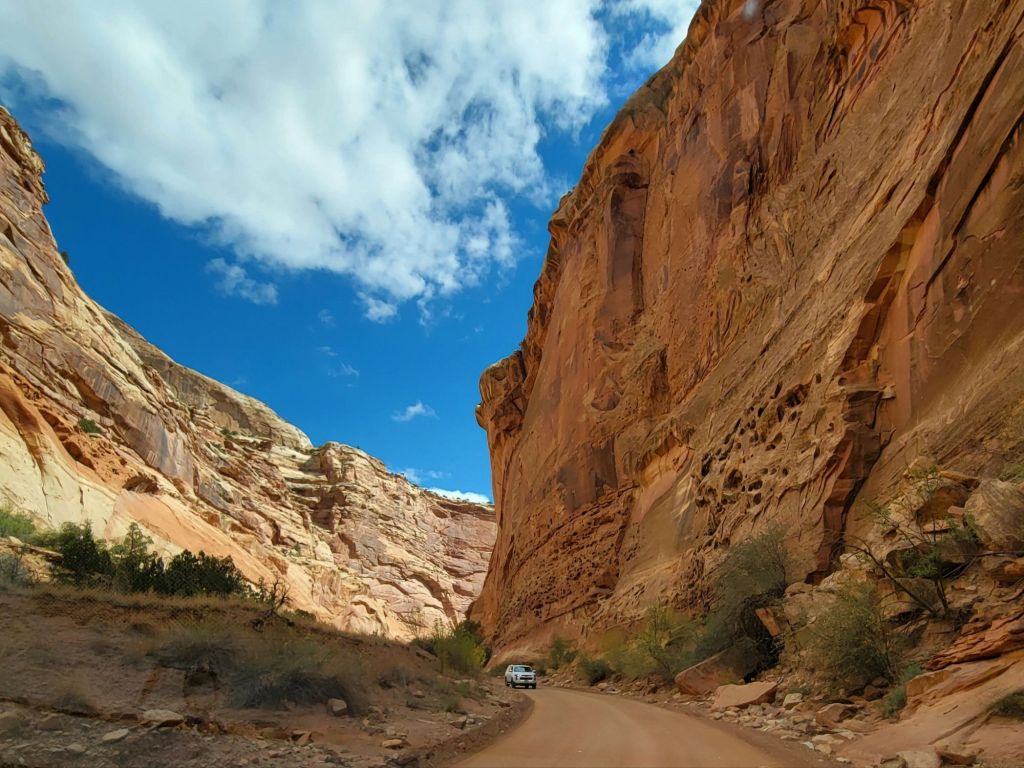
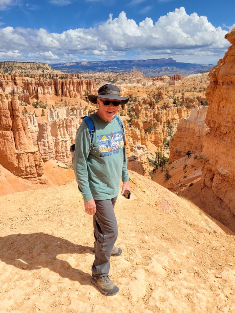
I won’t lie. I will be very happy when we are done with canyons on this trip. I am tired of seeing Greg teetering on the edge of cliffs, praying that he won’t lose his balance or trip and fall in.
I’m not really worried about falling in, myself, since I never get close enough to the edge. But my fear of heights is always triggered, nevertheless.
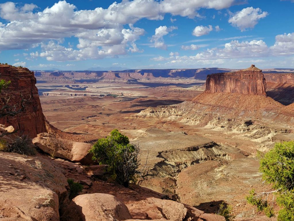
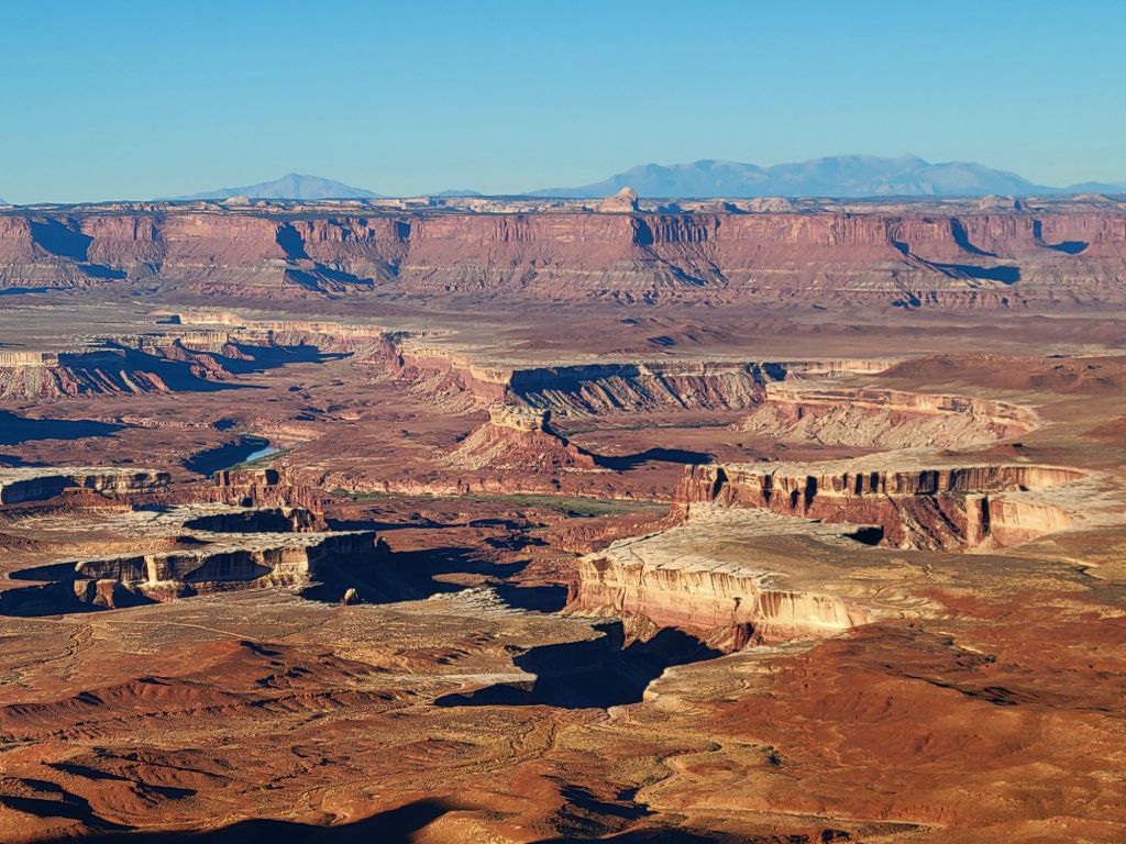
Grand View Overlook
We decided not to walk the trail at Grand View. The position of the sun made it difficult to see into the canyon.
I wish park maps would tell you whether an overlook was east facing or west facing. It would be really helpful!

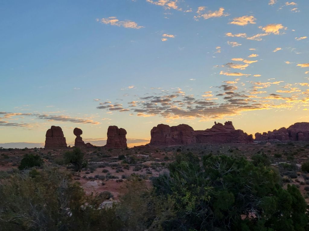
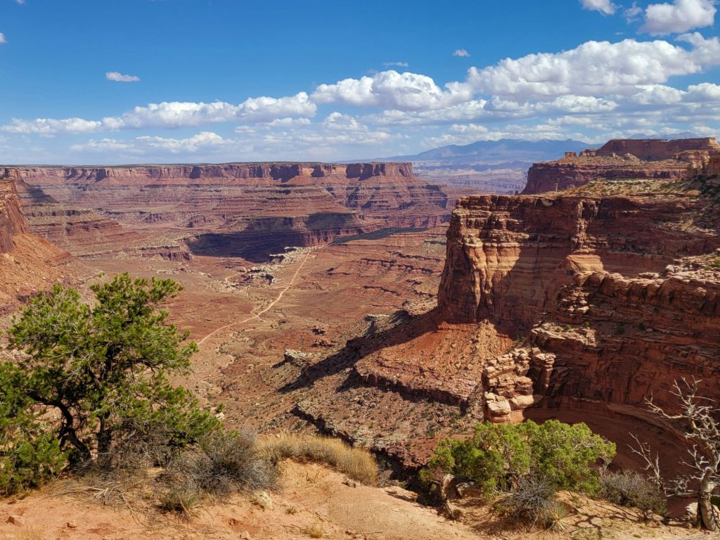
Mesa Arch–second attempt
After Grand View, we headed back to Mesa Arch to see whether the crowd had thinned now that the sun had fully risen.
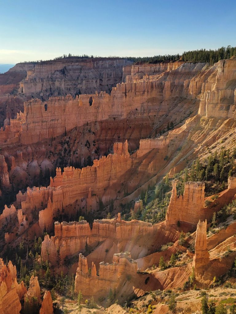
Yay! I was finally able to get my shot of the arch. And to be honest, I don’t think it would have been much better if I had been able to take it at sunrise.
Lesson learned.
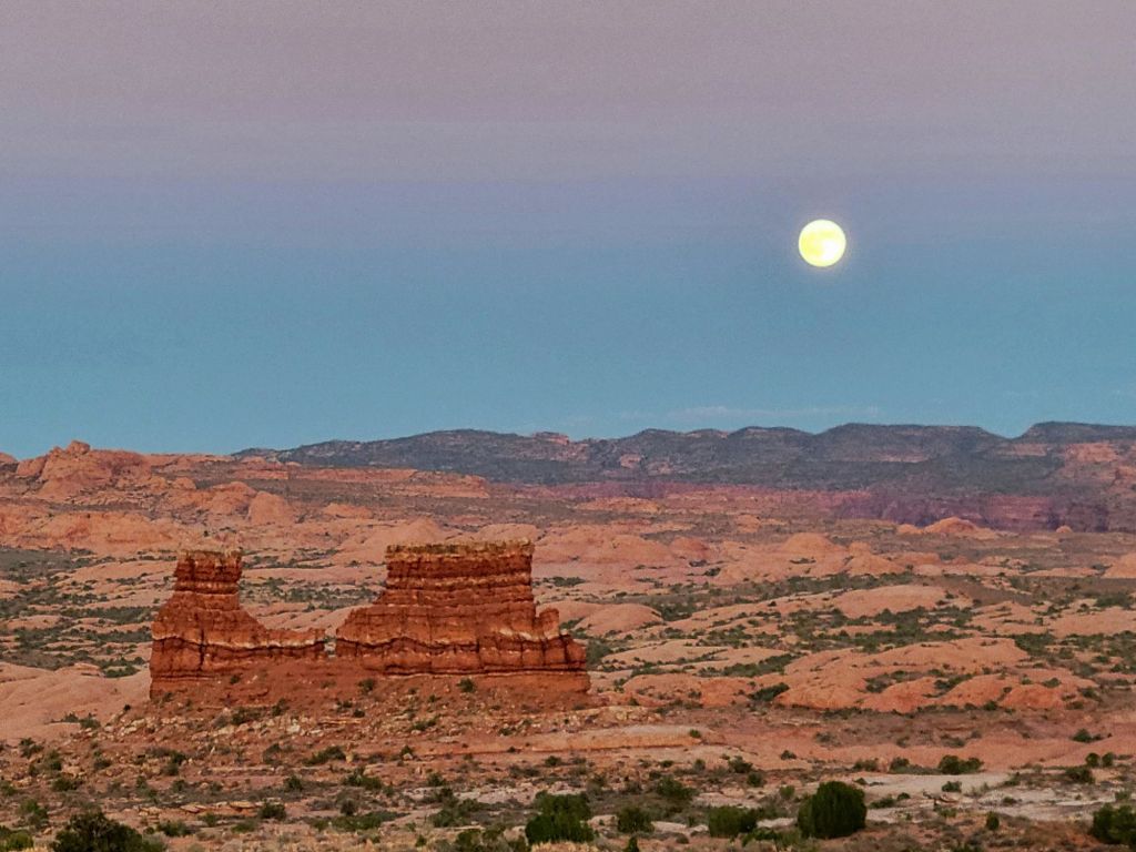
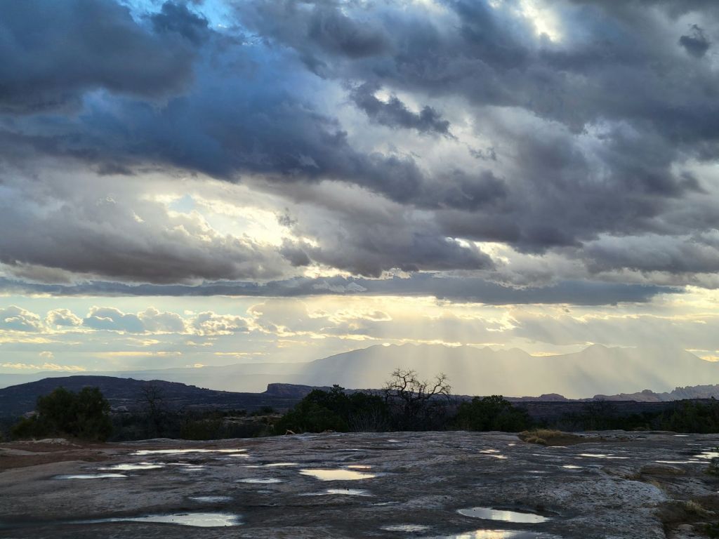
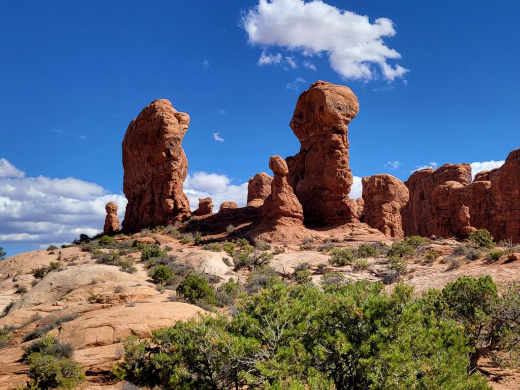
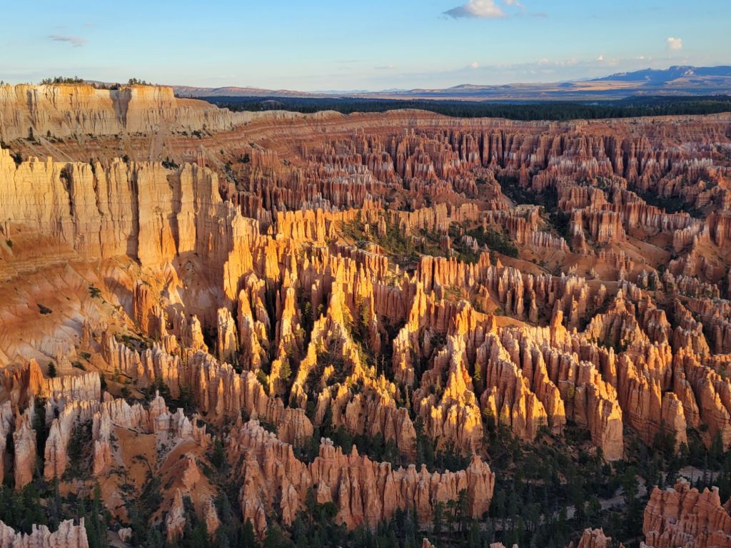
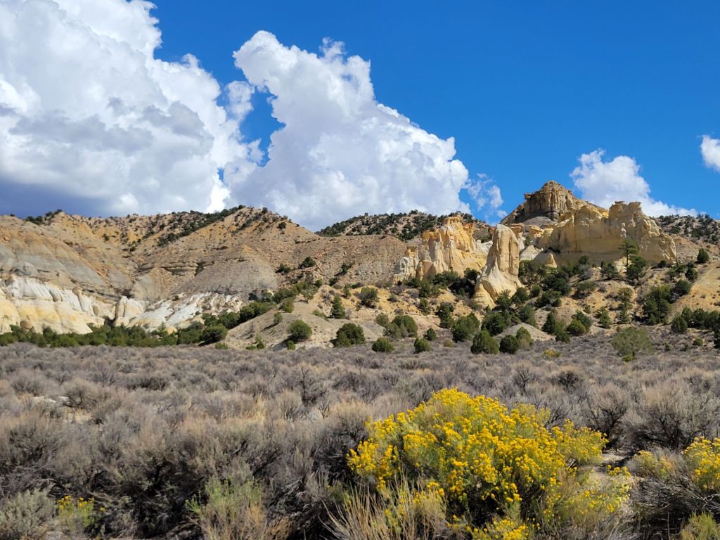
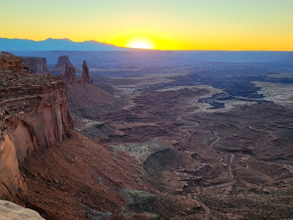
I did get at least one pretty photo at sunrise, though…
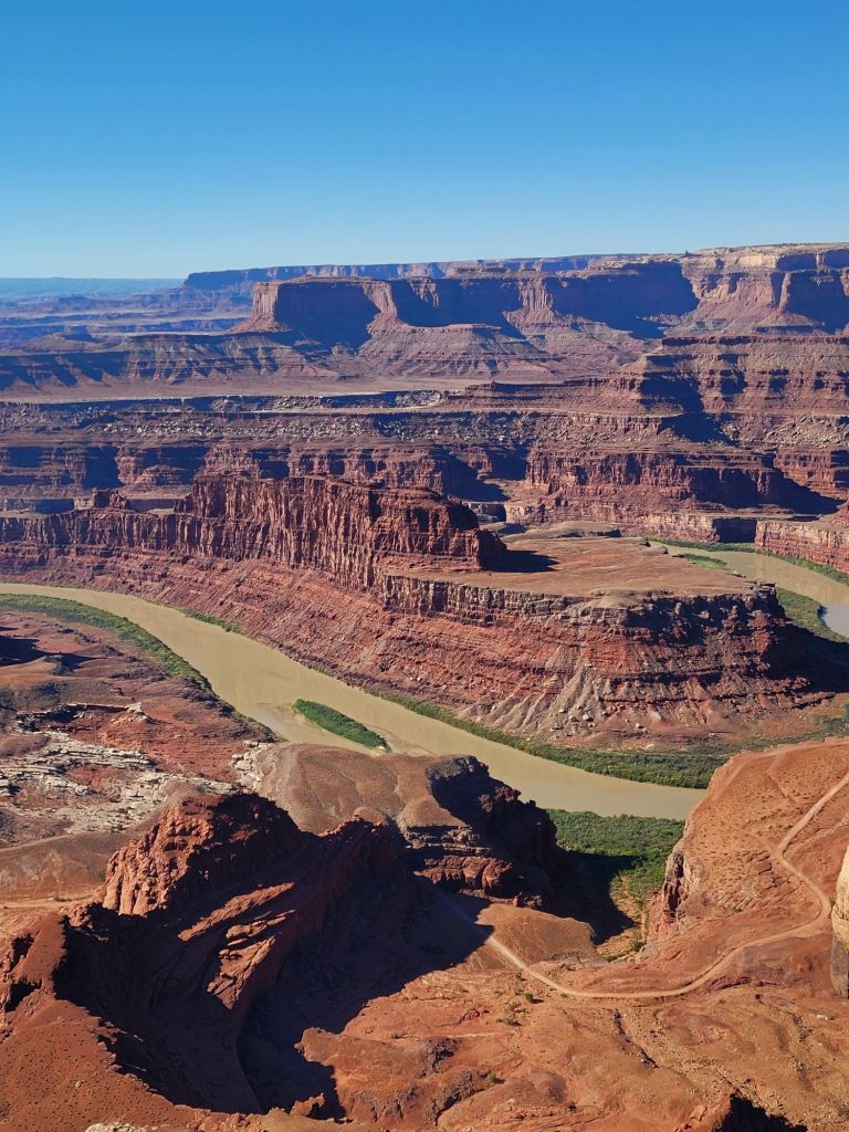
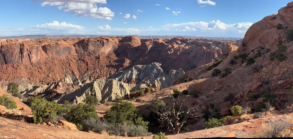
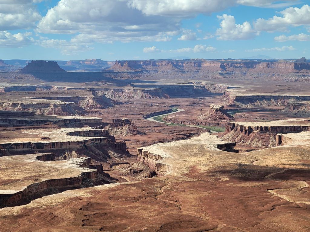
Dead Horse Point State Park
On the way back to the campground, we stopped at Dead Horse Point State Park.
This state park is a hidden gem, and I wish that we had visited it earlier so that we could have taken better advantage of everything it had to offer.
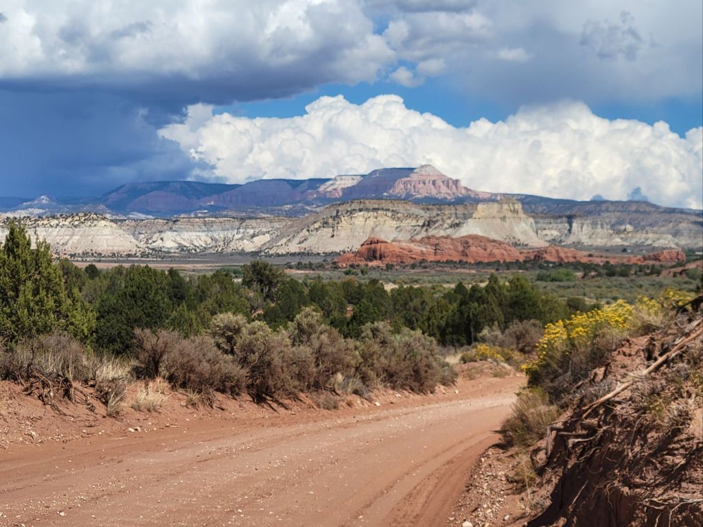
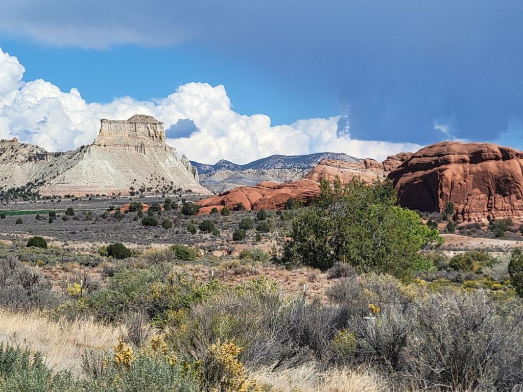
As it was, all we really did was drive to the end of the park road and take some photos of the canyon.