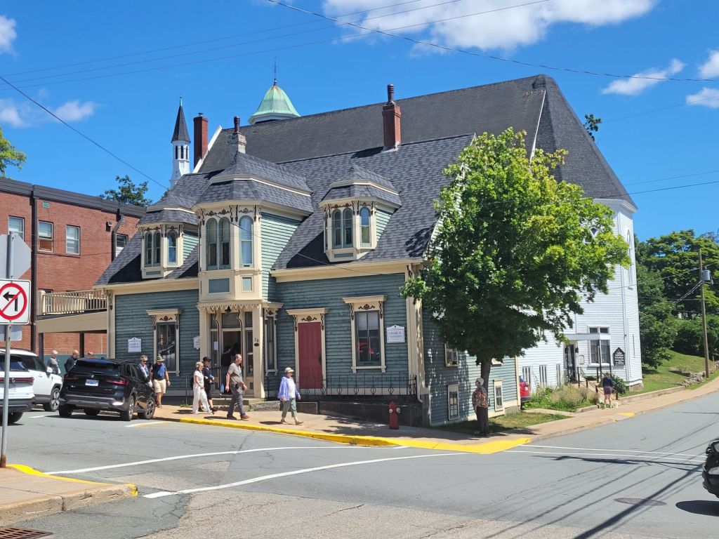
Yarmouth

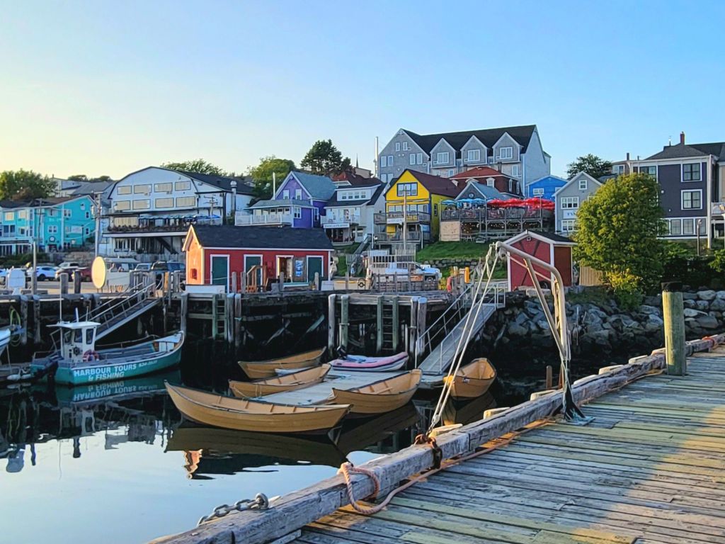
I’m combining everything we did while in Yarmouth because, frankly, we didn’t do much.

First, some final thoughts about Nova Scotia before we head back to the States tomorrow. Much of this stuff applies to New Brunswick, Cape Breton, and Prince Edward Island, too.

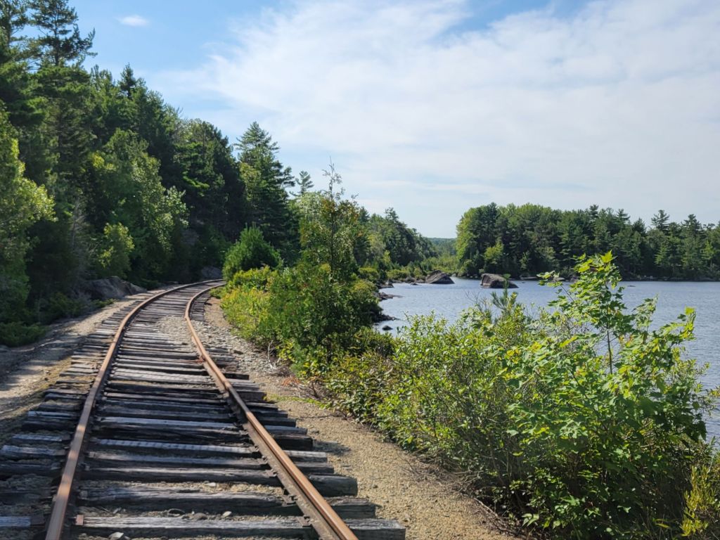
  • The hiking opportunities are  limited and not particularly interesting.
  • Although there are rail trails that do permit biking, the trail surfaces tend to be too soft and gravelly for e-bikes.
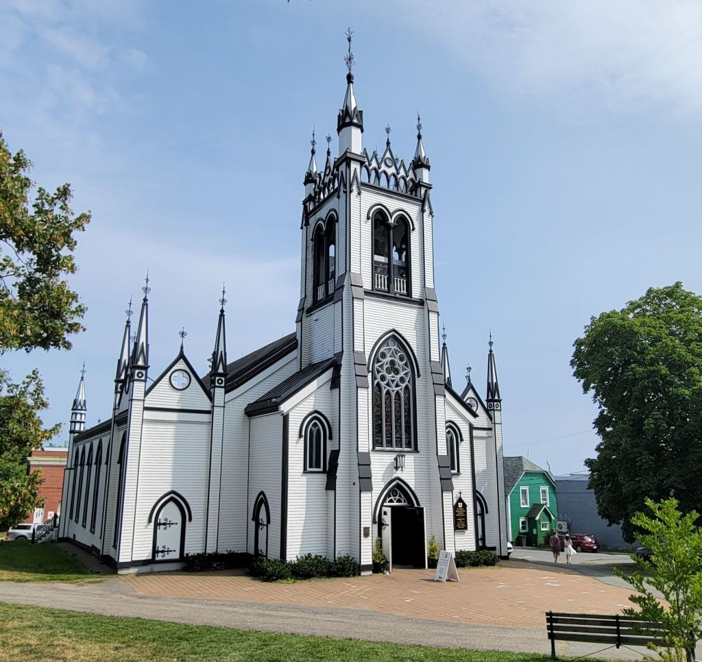
  • The churches here are very pretty, with lovely trim, windows, and tall steeples. I would have loved to have stopped and taken more photos of them, but Greg was driving. 😆
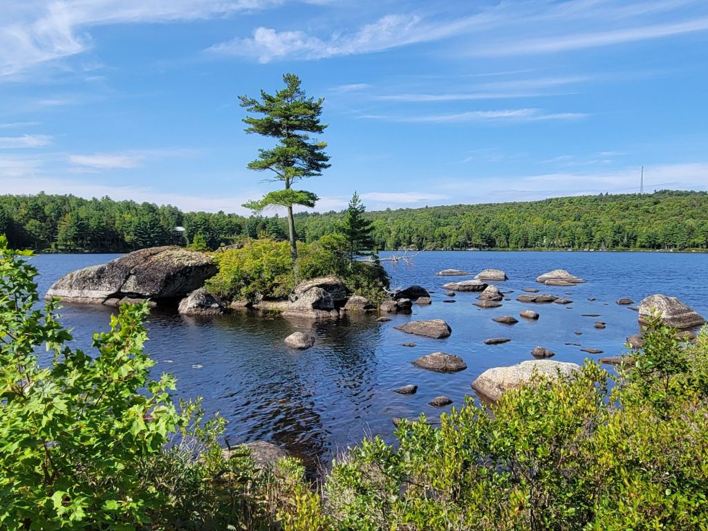
  • There are plenty of places for kayaking, but we rarely saw any scenery that we would have enjoyed viewing from the water.
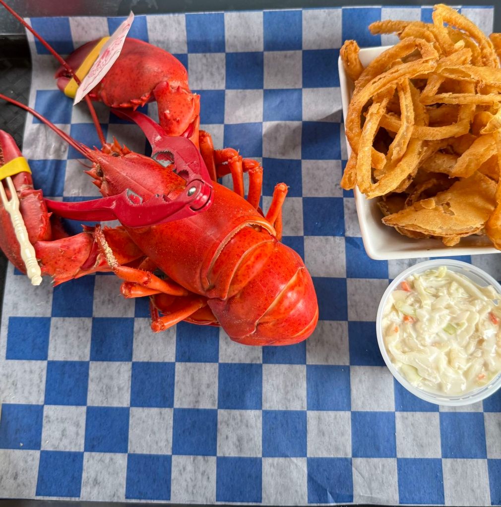
  • The absolute best way to eat lobster is steamed with melted butter. None of this lobster roll or creamed lobster stuff! Yuck.
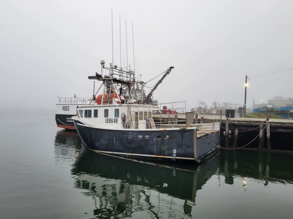
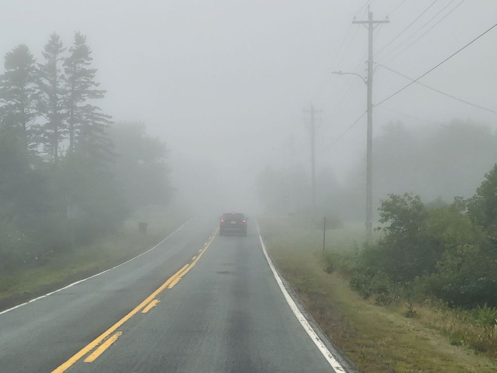
  • The weather in Nova Scotia in August is gorgeous, but be prepared for lots of foggy mornings in Yarmouth. And as one park employee told us, if you don’t like the weather, just hang around for another 10 minutes, because it’s sure to change!
  • Don’t expect to see many pretty lighthouses, and don’t expect to find them easily.
  • The best whale watching tours take off from Brier Island or Long Island.

Lighthouse day

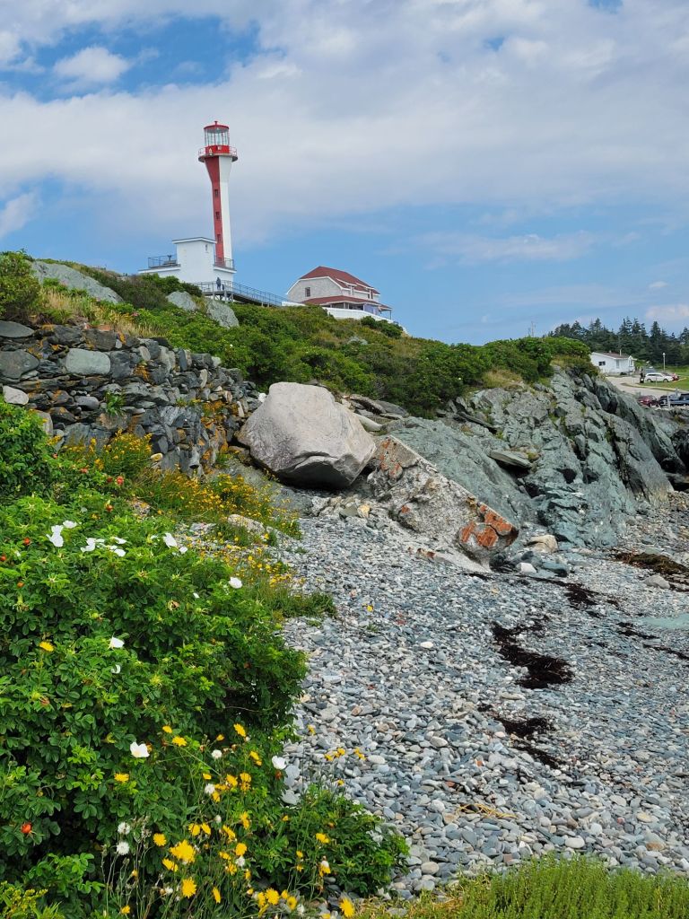
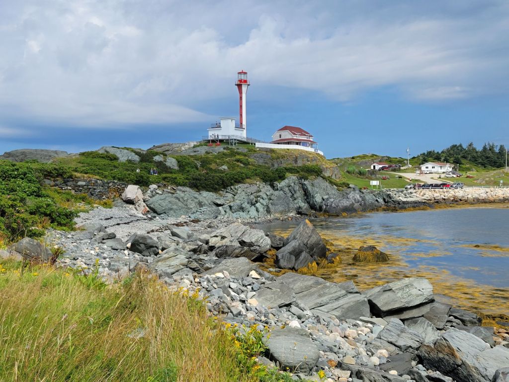
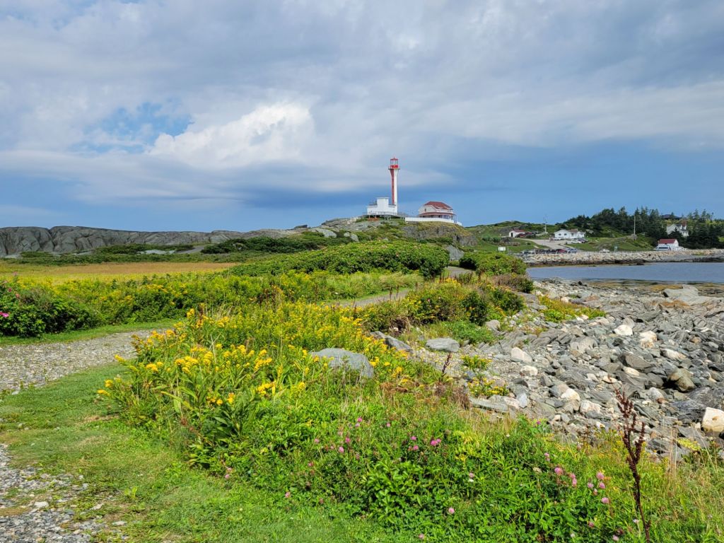
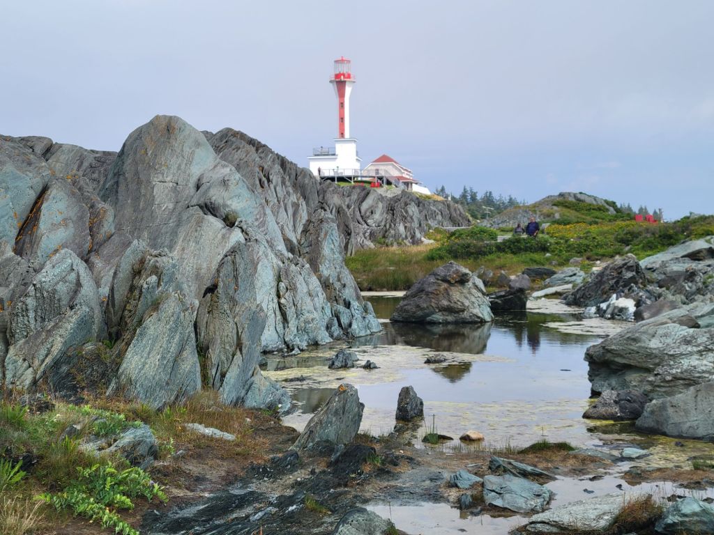
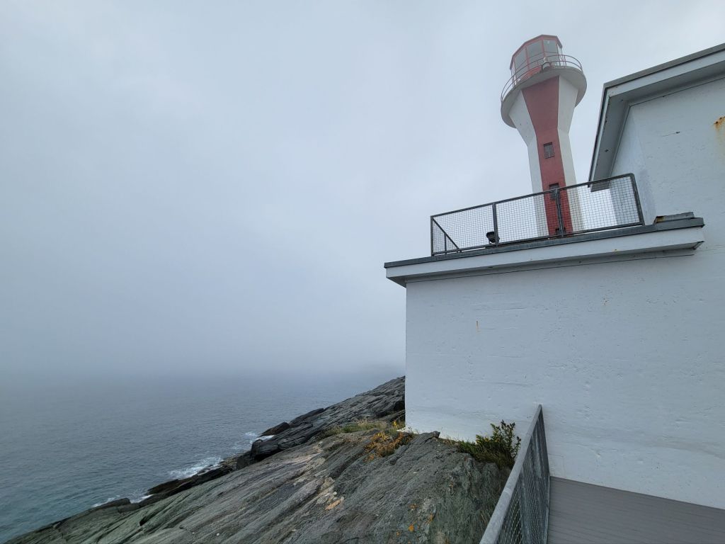
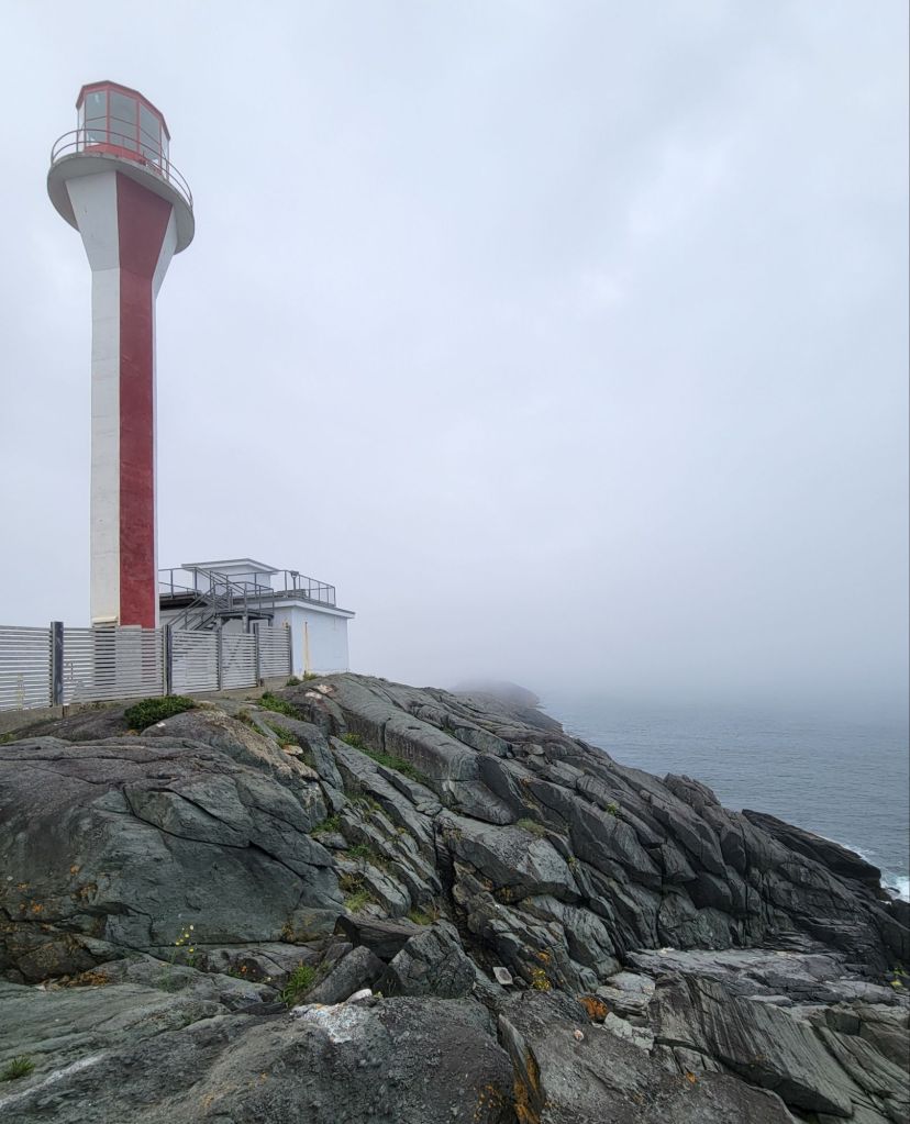
As I said, we didn’t do much while we were here, but one day we decided to drive around and see how many lighthouses we could find. We started with the Cape Forchu Lighthouse.

Note the blue sky in the first couple of photos.

This lighthouse is called an apple core lighthouse because of its shape.

And then the fog rolled in…

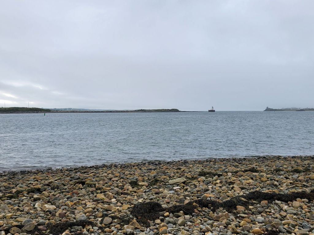
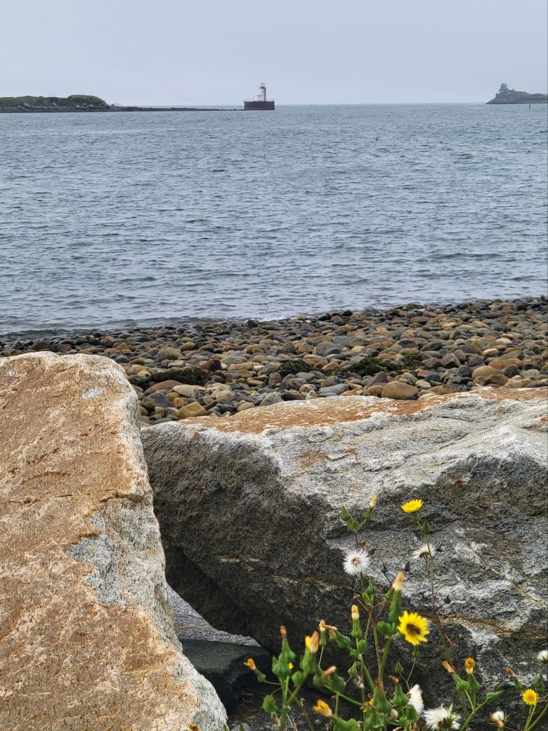
Next, we headed to Bug Light, which is way out on Bunker’s Island in the Yarmouth Harbor.

Yeah. So exciting.

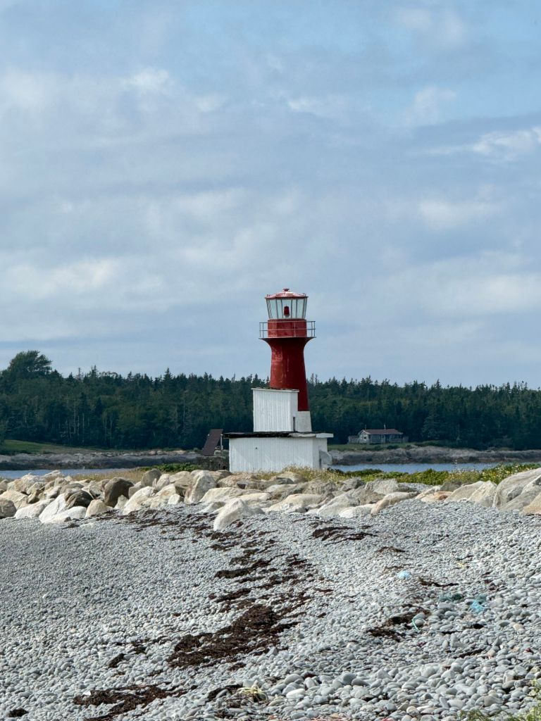
After that thrilling sight, we headed to Pubnico Lighthouse. I don’t know how, but Greg managed to make this lighthouse look significantly more impressive than it deserved.

This is Greg’s photo. It is a close-up view because the beach is unattractive, and off to the right are giant wooden platforms holding hundreds of lobster traps with dead crabs in them.

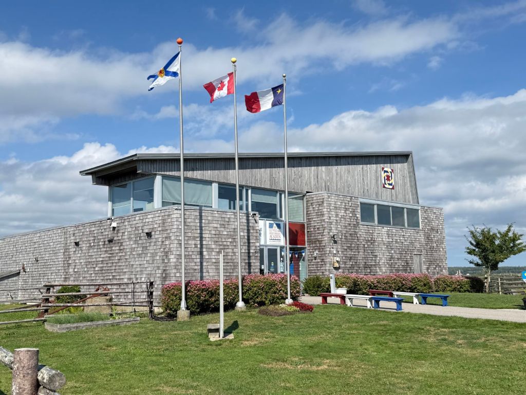
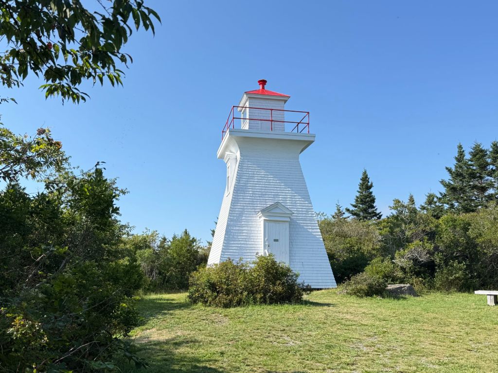
Our final lighthouse of the day was the Abbott’s Harbour Lighthouse. To get to it, we discovered, you have to walk through an Acadian living history settlement.

We arrived just after it had closed, which is a shame because it looked like it would have been interesting.

Anyway, one of the employees told us that we were welcome to walk through the property to see the lighthouse.

I was disappointed because it was impossible to see the water from the lighthouse, and there was no way to get a photo of the lighthouse from the water.

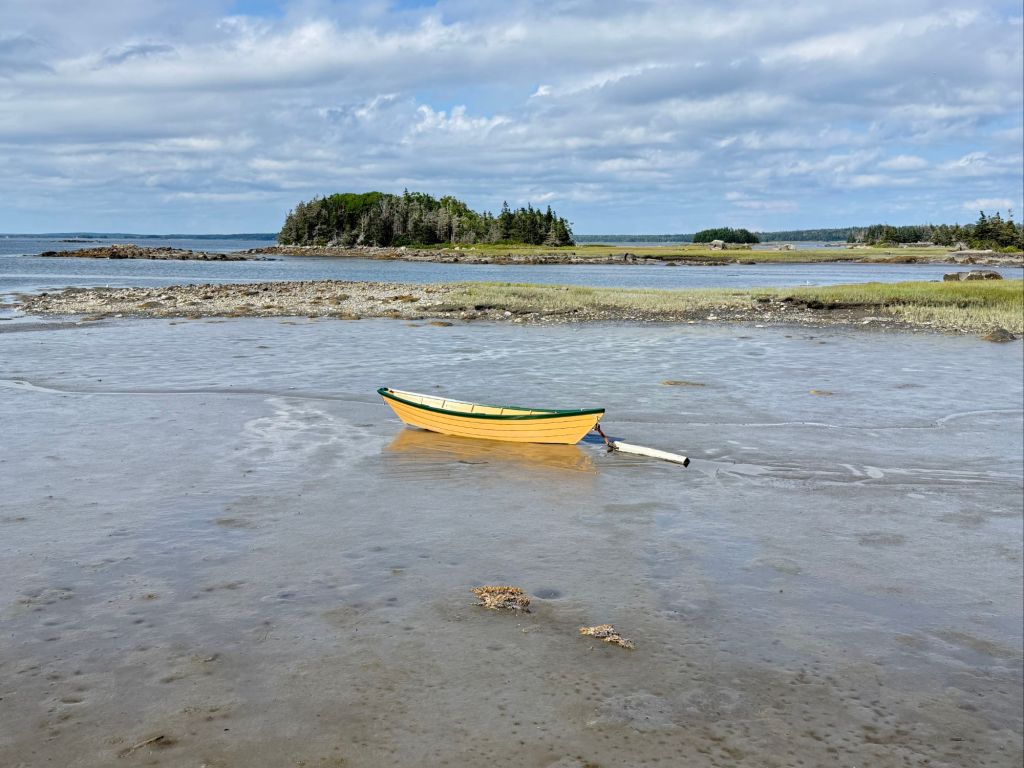
I did get these photos from the water’s edge, though.

Greg was stung by a bee while we were there, so we decided to use that as an excuse to go out to dinner on the way back to the camper. We decided on Rudder’s Seafood and Brewery because it named two of our favorite things: seafood and beer!

As we were leaving the restaurant, the fog once again rolled in.

And just so you know what I mean about pretty churches, here is a photo I took of St. John’s Anglican Church in Lunenburg.

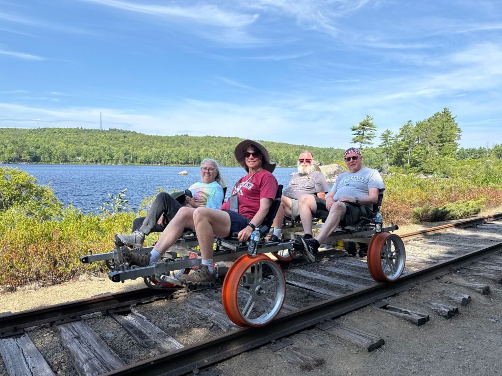
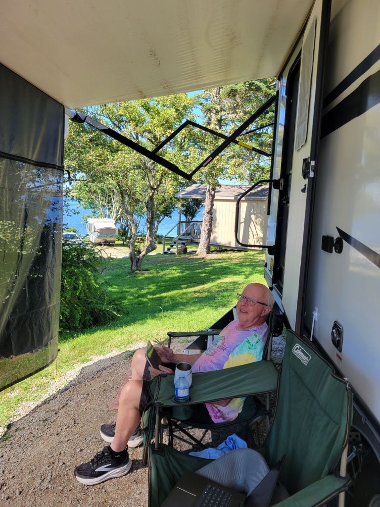
And this is how we spent much of our time while in Yarmouth. 👇

Bye, Bye, Nova Scotia!

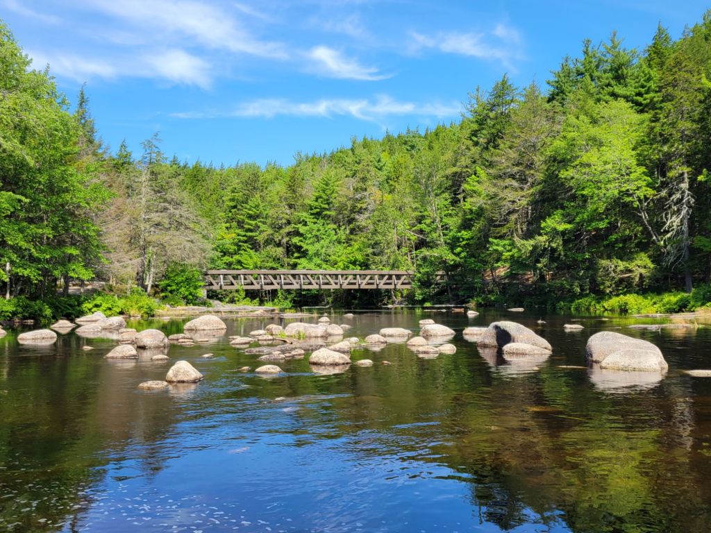
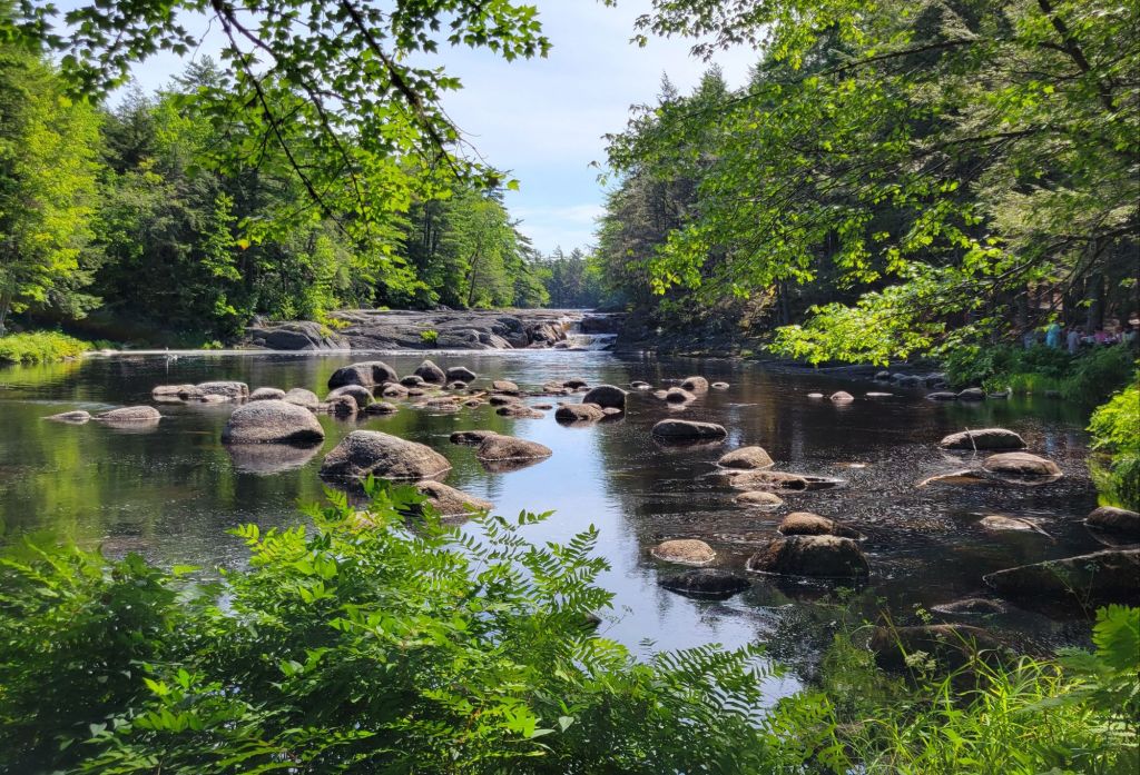
Kejimkujik National Park

Kejimkujik National Park is well worth a visit if you are visiting the area and have the time. You can camp, bike, hike, and kayak within the park.

Mill Falls

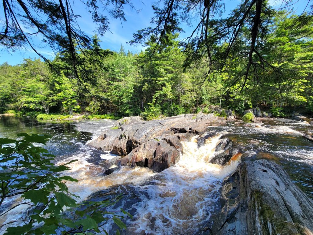
Our first hike after visiting the Visitor Center was Mill Falls. This was a very easy, short hike to a rather impressive waterfall. The trailhead was right behind the Visitor Center.

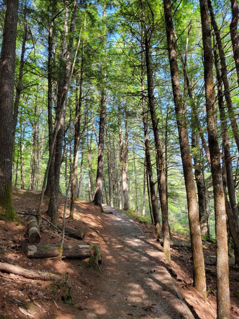
I love how the forest has no real understory. It creates an open, airy feel.
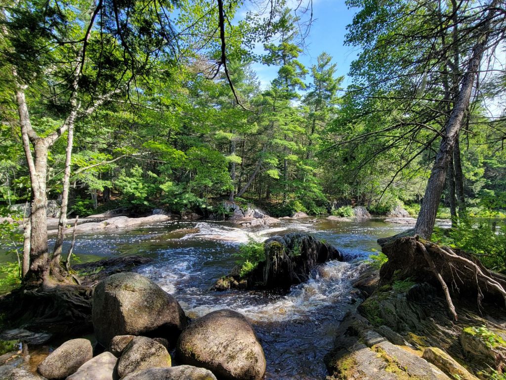
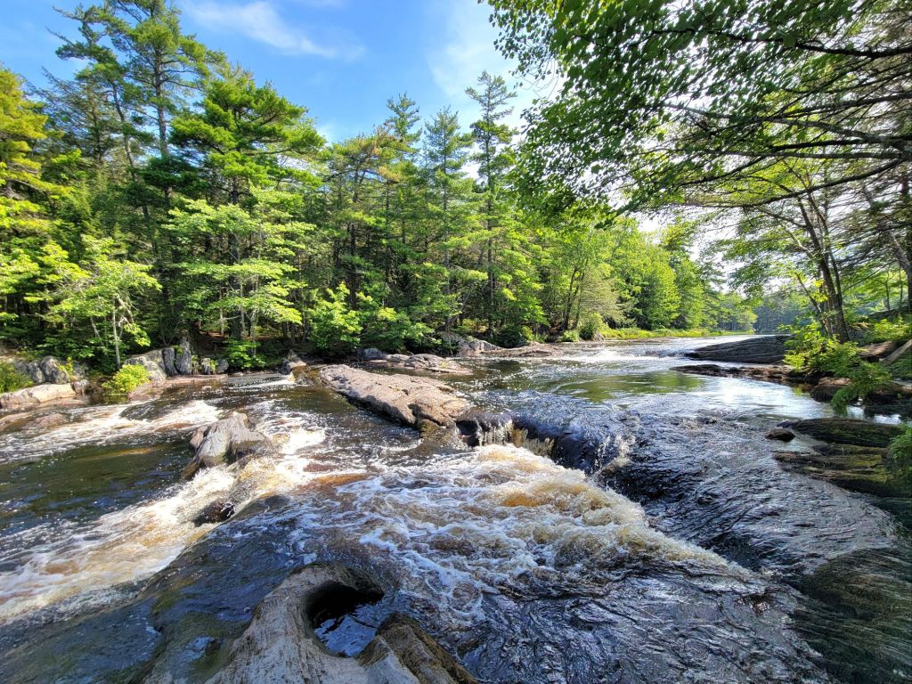
Some nice photos for turning into paintings later!

Jake’s Landing to Kedge Beach

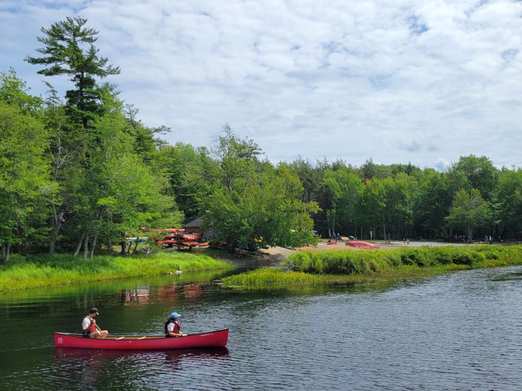
Next, we drove over to Jake’s Landing to see whether we might like to kayak in the river or bike the trail. There is an outfitters at Jake’s Landing where you can rent kayaks and boats.

Ultimately, we decided not to kayak because we had forgotten to bring our water shoes. And we decided not to bike because the trail was narrow, with roots and rocks.

We took a hike over to Kedge Beach instead.

Looking at Jake’s Landing from the other side of the river.
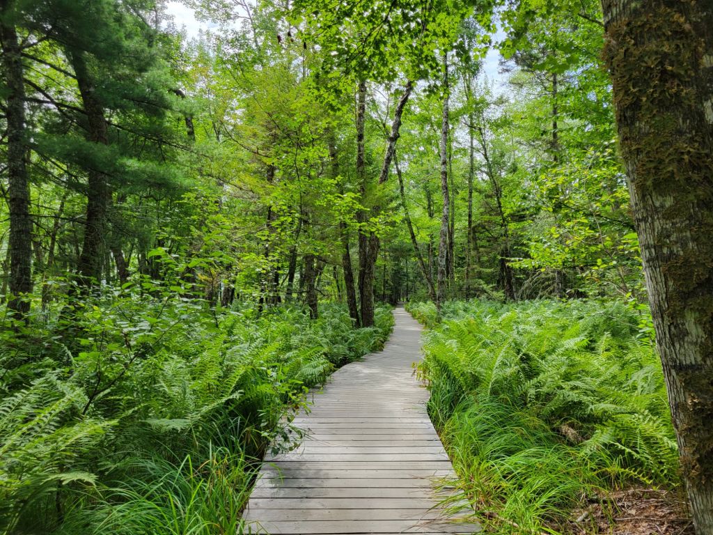
The trail. I love those ferns!
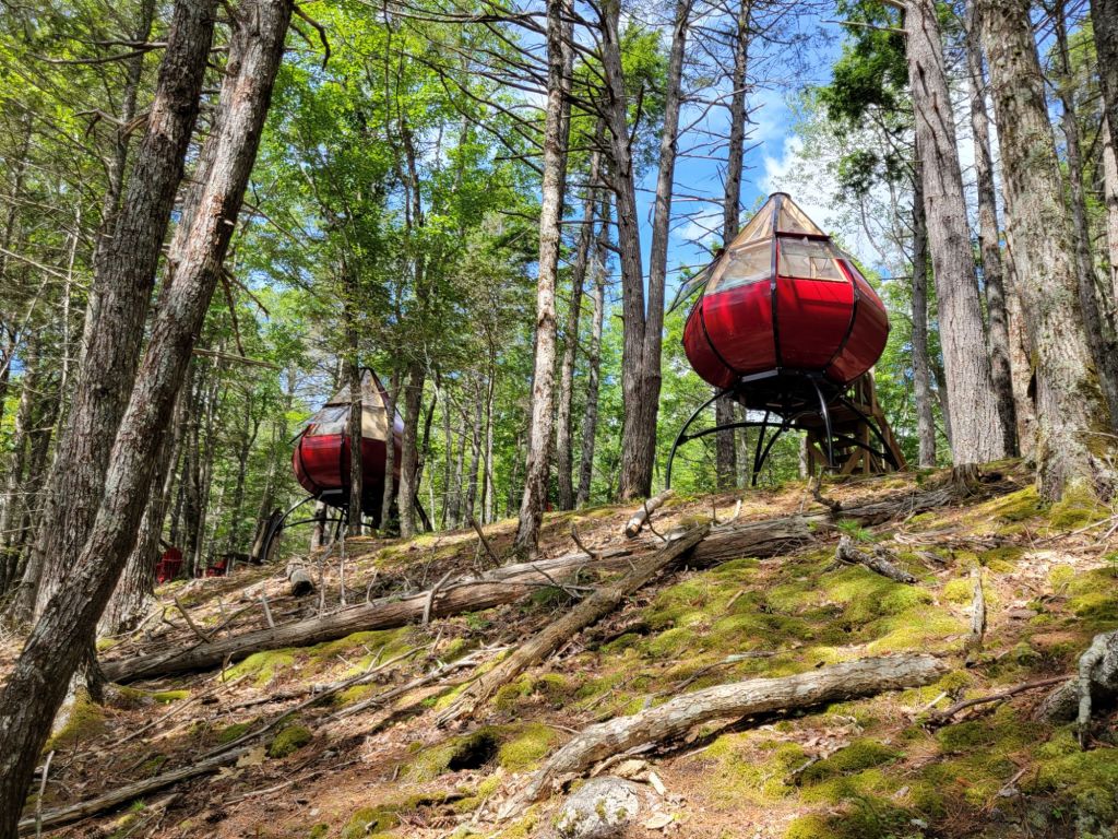
This area right above Kedge Beach is called the Oasis. I have no idea how you use the toilet when you camp in one of these. It looks like you would have to climb down the ladder and walk down the hill to the bathroom, which would be no fun in the dark!

Merrymakedge Beach

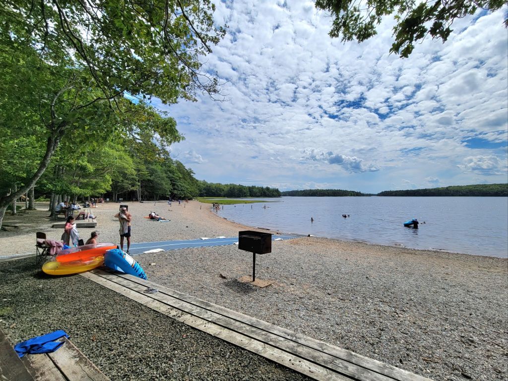
Next, we drove over to check out Merrymakedge Beach. (I have no idea how to pronounce that ridiculous name.)

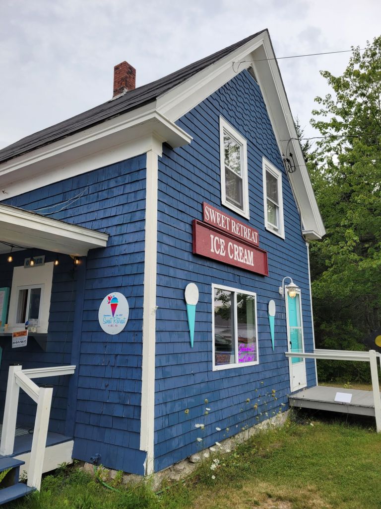
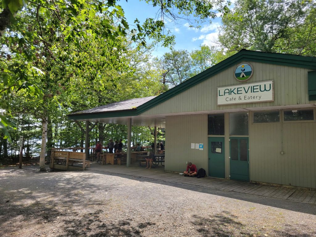
I talked Greg into getting ice cream at the Lakeview Cafe and Eatery. Chocolate soft serve with caramel sauce on top. Yum!

Then we headed back to Digby.

Balanced Rock Trail

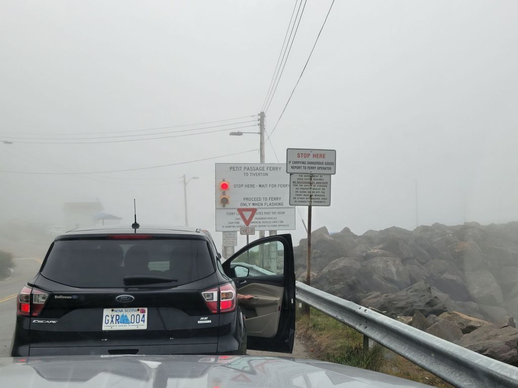
This morning we headed to Digby Neck to hike the Balanced Rock Trail. As you can see from the photo below, it was a very foggy morning.

Waiting in line for the ferry. The fog was so thick that you couldn’t even see the water. Thinking that we had 50 minutes before the ferry arrived, Greg headed across the street to the cafe for a breakfast sandwich and cup of coffee. We ended up missing the ferry and had to wait for the next one.
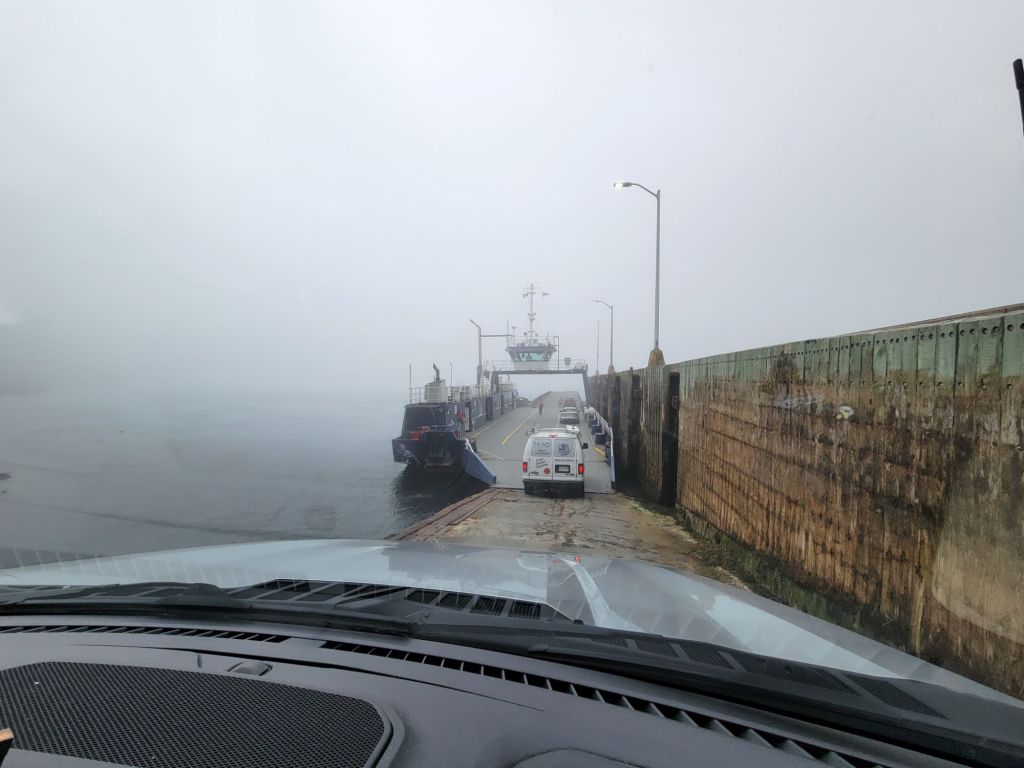
Driving onto the ferry. I have no idea how the captain was able to find his way across the channel in the fog.
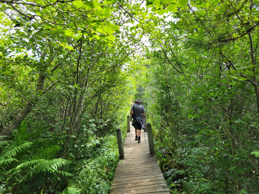
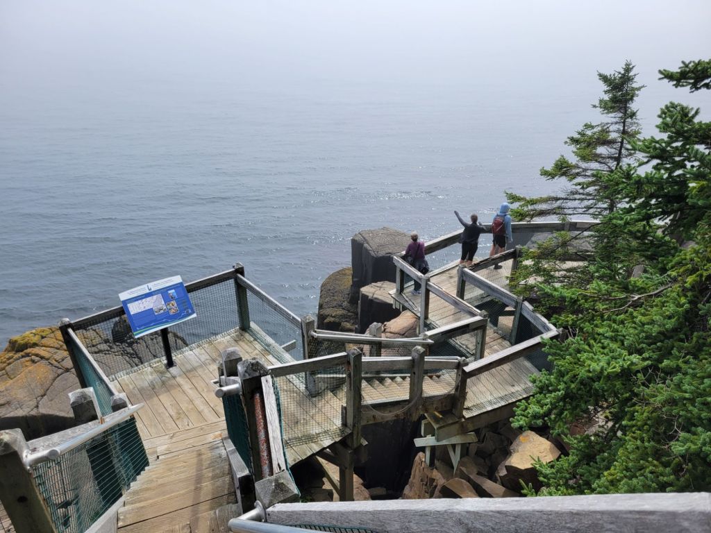
The trail down to Balanced Rock was an easy walk and thankfully clear of fog.
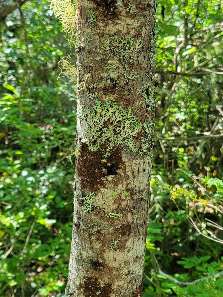
We saw some pretty cool-looking lichen on our trek.
Greg’s phone claims it was 11 floors’ worth of stairs down to the platform by Balanced Rock.
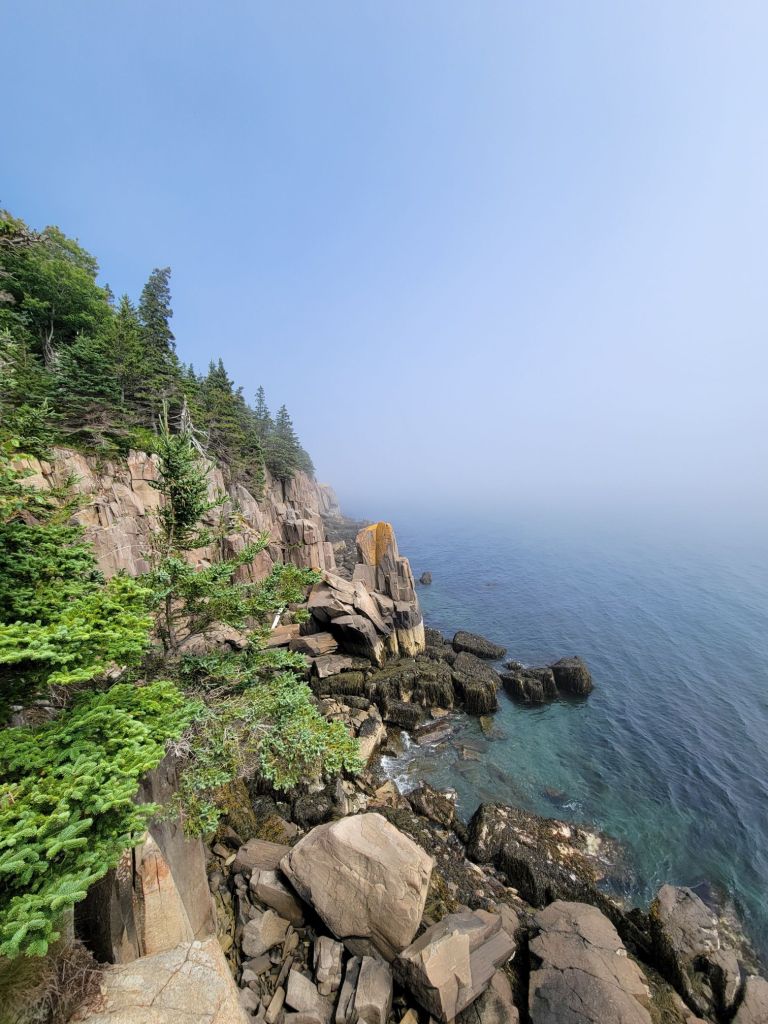
Looking to the left. As you can see, the fog had not yet completely lifted.
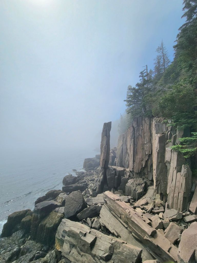
Looking to the right, Balanced Rock. It’s hard to tell from the photo, but Balanced Rock looks like it defies the laws of physics. I don’t know how it is able to balance on such a small piece of rock.

Bear River

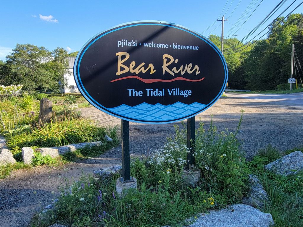
Next, we headed to Bear River to see what was there and to visit one of the two wineries.

There isn’t much to see in Bear River. A couple of little art galleries, a grocery store, a cafe, and that’s about it.

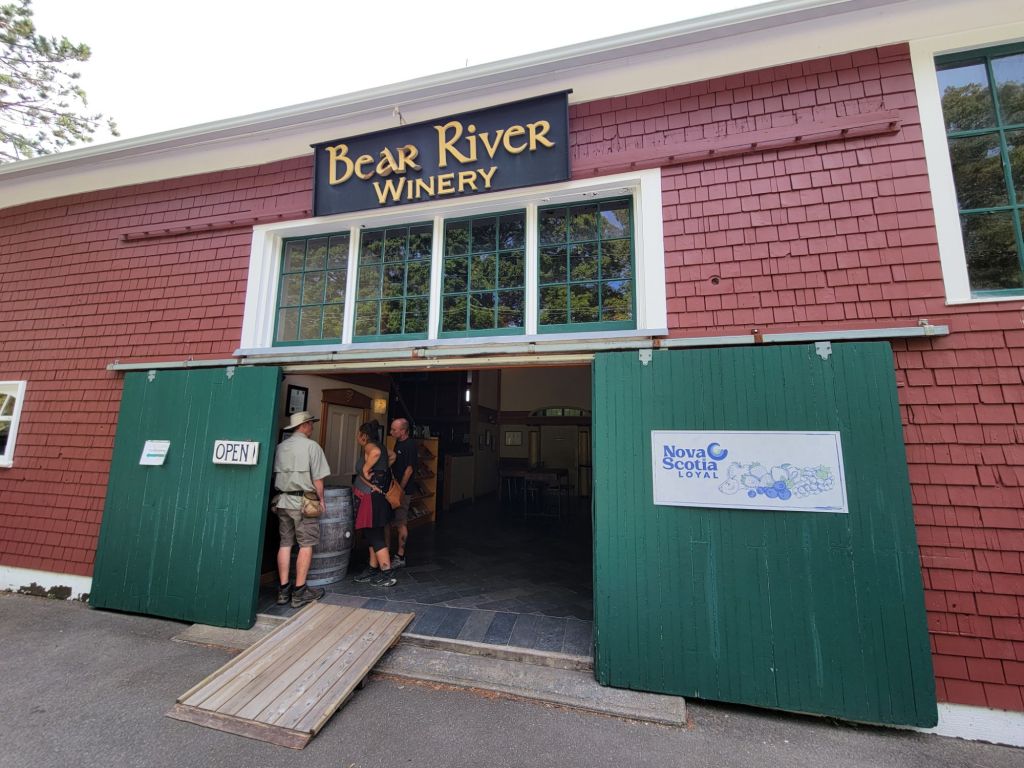
Bear River Winery

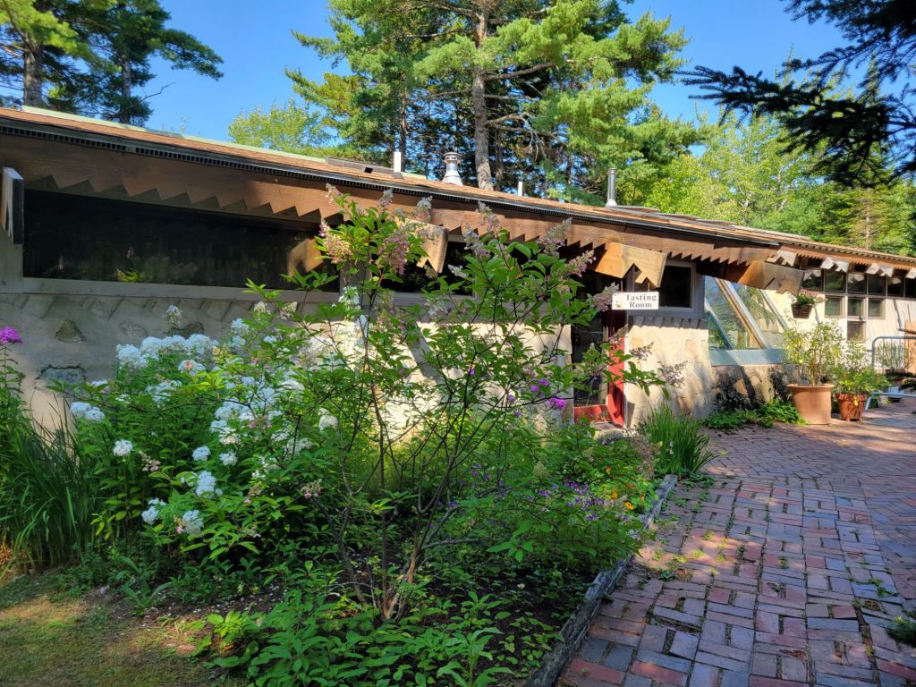
Bear River Winery was a tiny operation, but the people running it were extremely friendly and helpful. Greg and I enjoyed a flight of wines with a small snack cup.

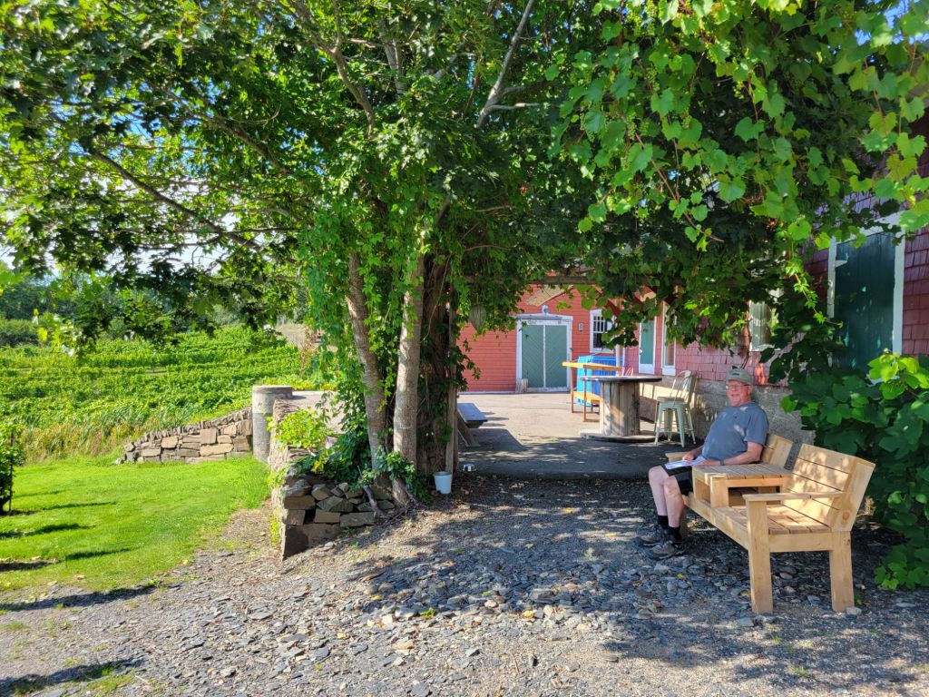
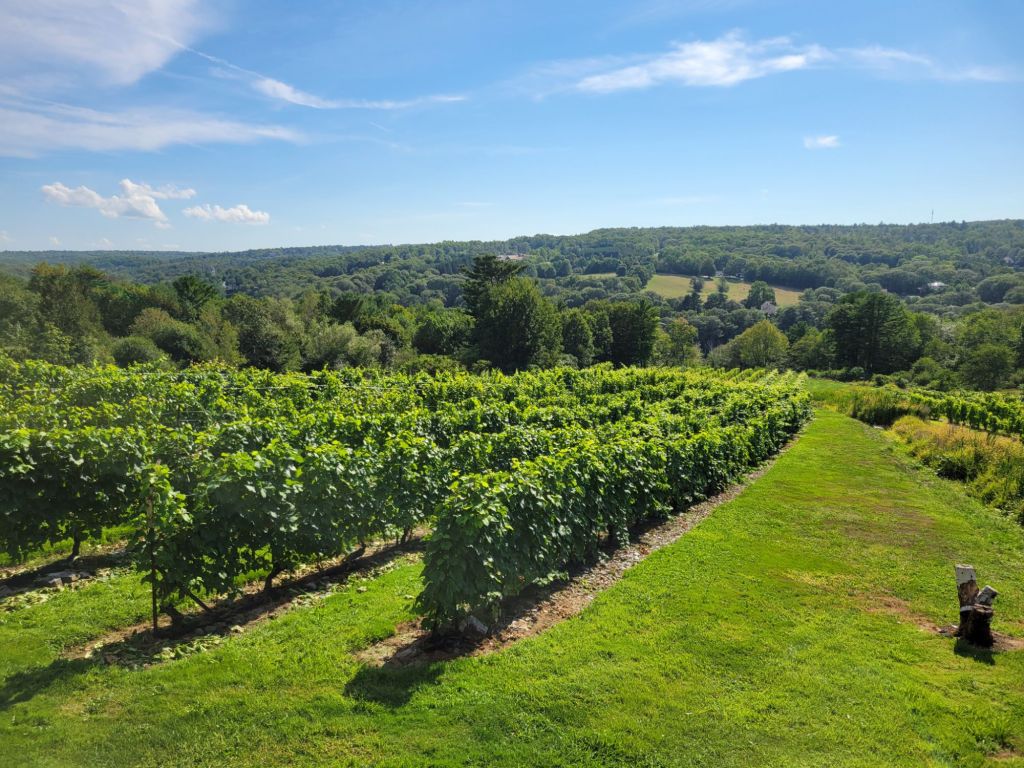
The view from the back patio of the winery.

There is another winery in Bear River called Casa Nova Fine Beverages, but you have to pre-book a tour and tasting. We were not interested in taking a tour, and I was not sure that we would get to choose which wines we tasted. So we decided not to go there.

More medical stuff

Although the dreaded diarrhea has not yet hit, I was seriously beginning to doubt that the medication I was on was doing anything. Plus, the doctor and the pharmacist had given me conflicting instructions regarding dosing.

Consequently, I ended up calling my doctor in Downingtown to ask her advice. She encouraged me to take the full dose of medicine that I had been prescribed and told me that the risk of developing diarrhea was no greater than for any other antibiotic. She also told me that once I got back to the states, she could call in a prescription for me if I still needed it. That really put my mind at ease.

Digby

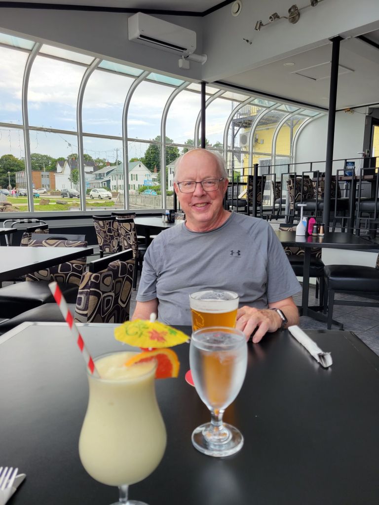
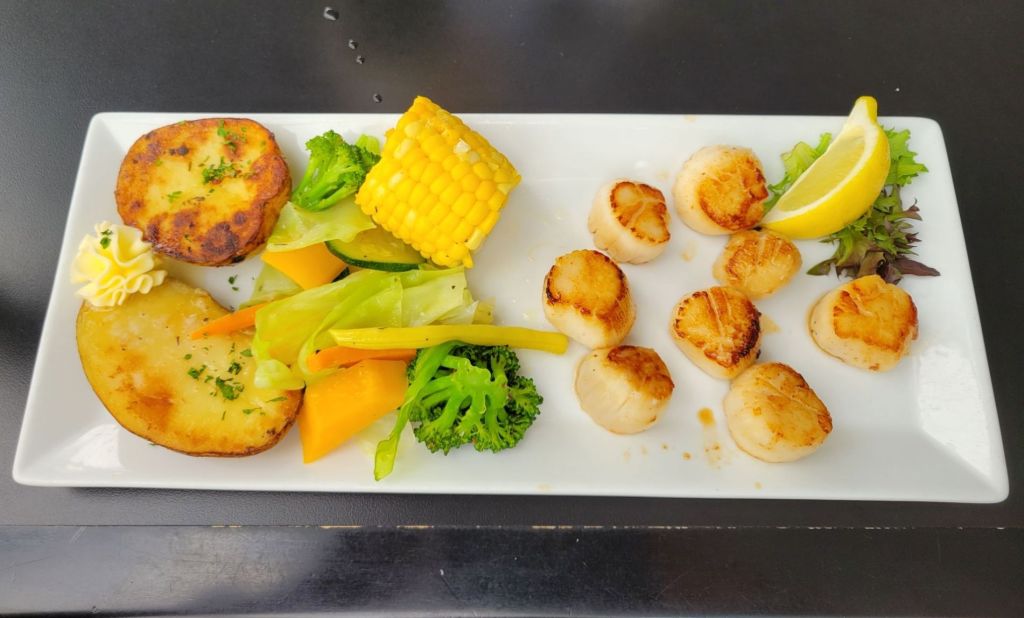
Our next stop in Nova Scotia was Digby. After setting up the camper, we headed into town to the visitor center, which had closed 5 minutes before we got there. Since Digby is well known for its scallop fishing, we decided to have dinner at one of the local restaurants and sample the scallops.

My piña colada was a mocktail, sadly.
I thoroughly enjoyed every bite of my dinner. Greg enjoyed his but claimed that the scallops were not the best that he has ever had.

Port Royal National Historic Site

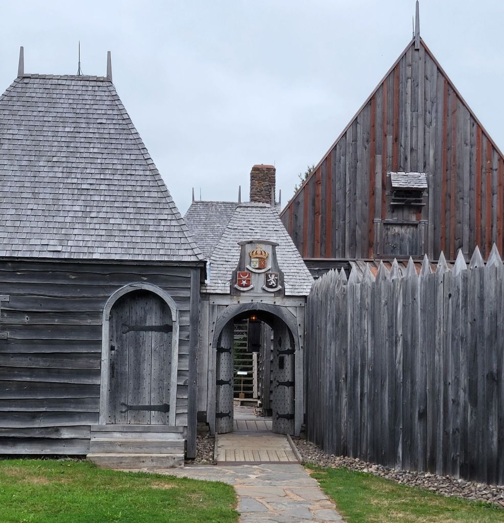
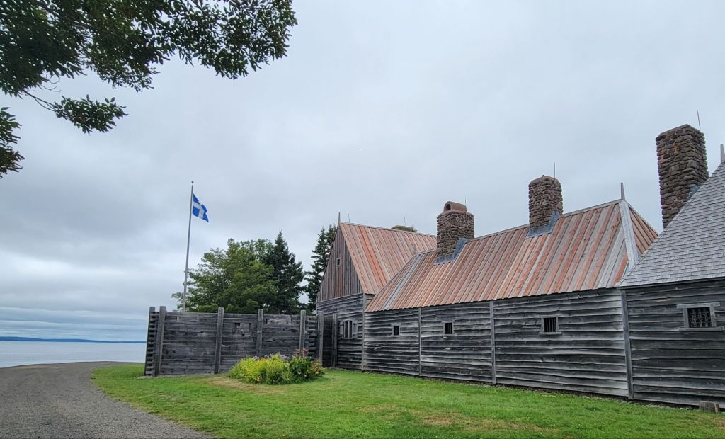
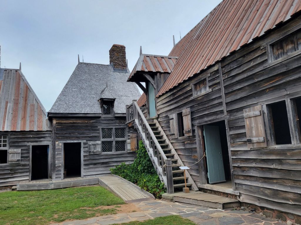
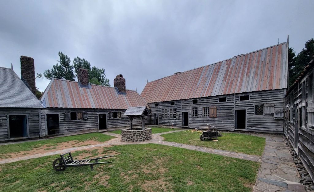
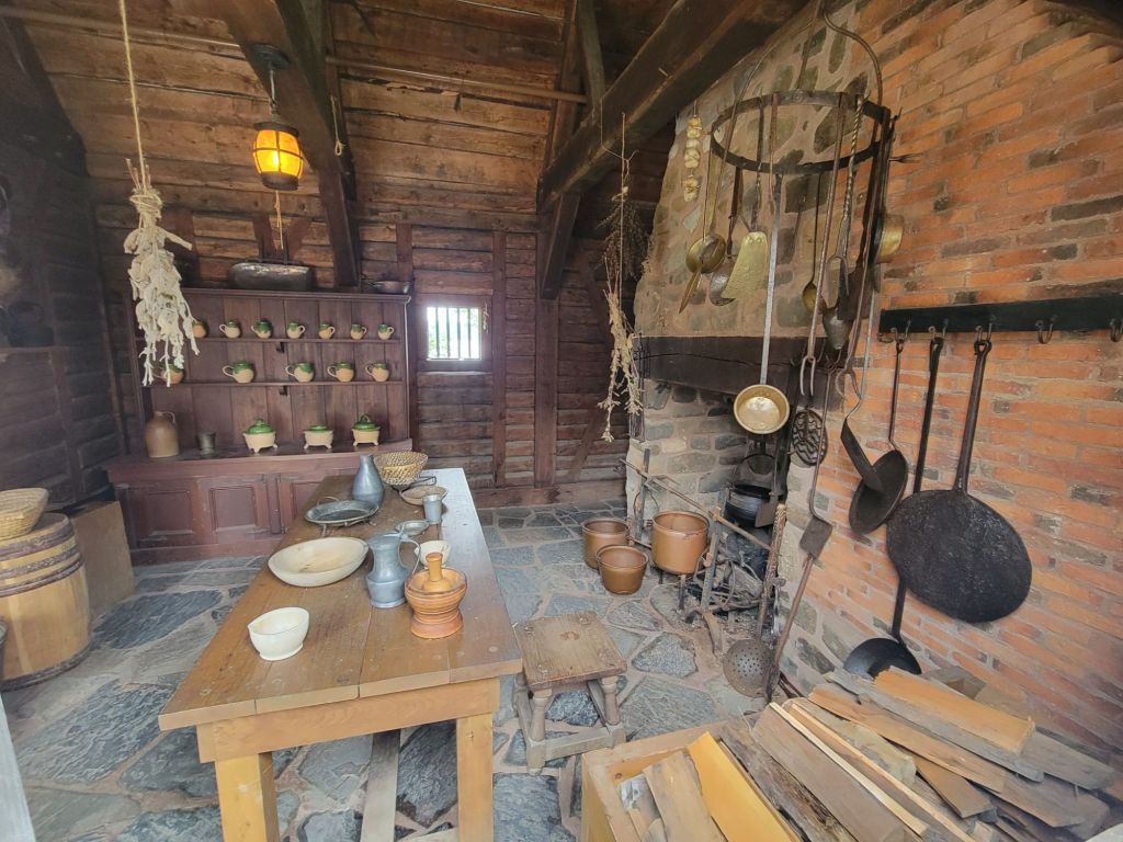
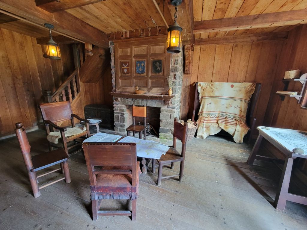
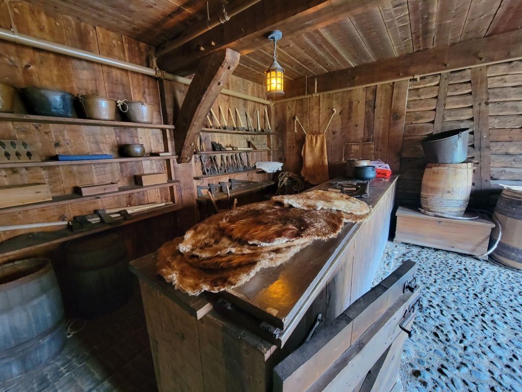
The next morning we drove to another living history museum. This one was called Port Royal National Historic Site.

Port Royal was a small settlement where French colonists traded European goods with the Mi’kmaq in exchange for furs.

Once again, the weather was dreary.

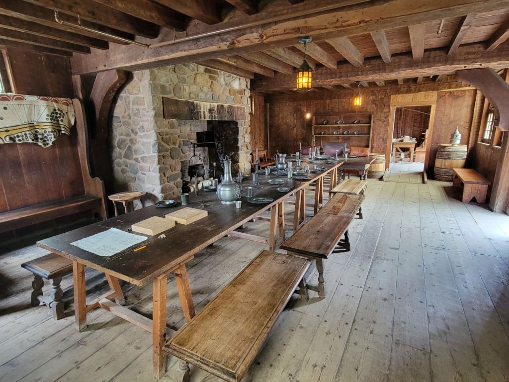
Greg had me sit at the head of the table so that he could take a picture. (This is not that picture, just in case you were wondering where I was.)
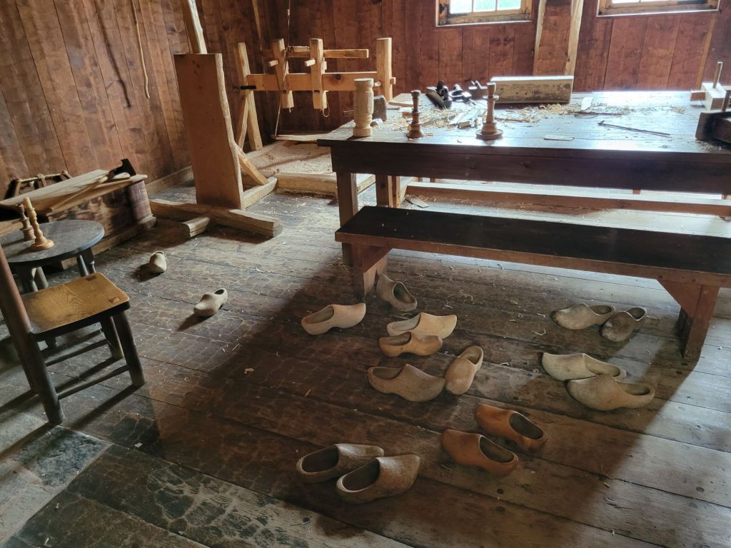
I tried on several pairs of clogs. They were extremely uncomfortable! There must be a trick to wearing them.
This is the room where the Mi’kmaq people came to trade with the French settlers.

Annapolis Royal Historic Gardens

After Port Royal, we headed to Annapolis Royal Historic Gardens.

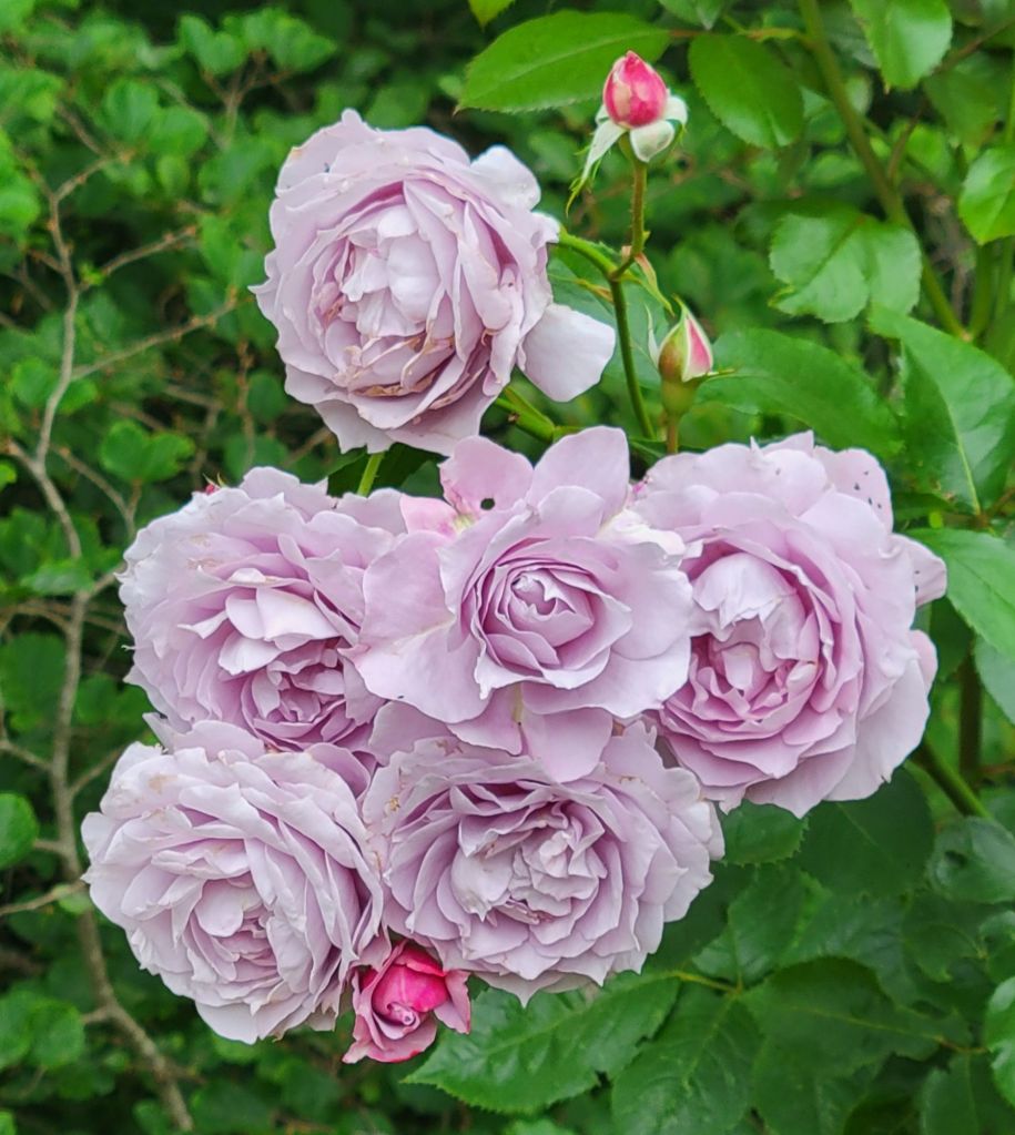
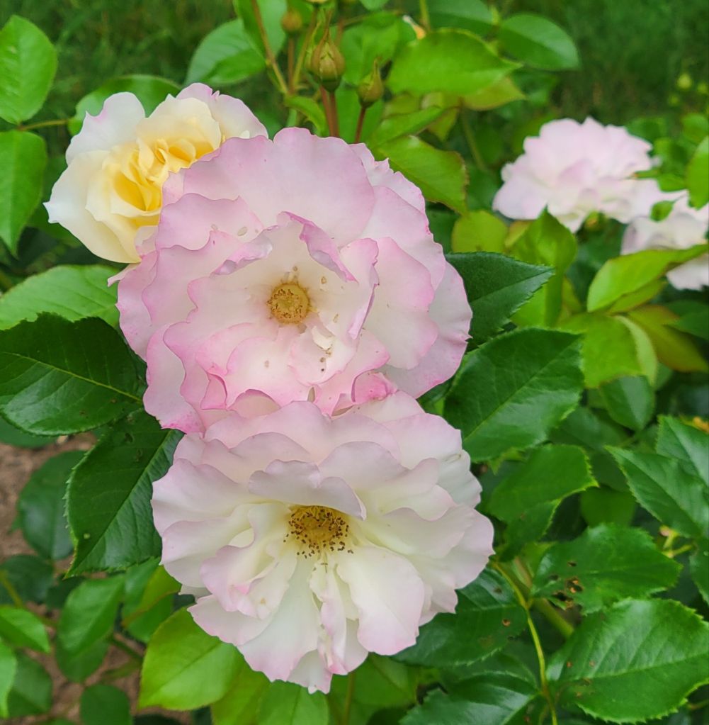
The roses were past their peak, but I captured a few photos of those that remained.

These roses were a beautiful lavender color.
These looked like they went from yellow to pink to white as they flowered

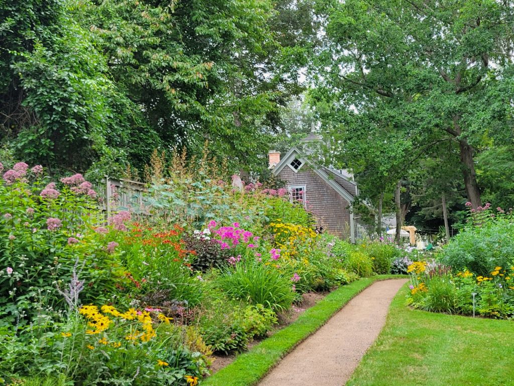
And some other flowers, too. I have no idea what any of them are, but they sure are beautiful.

I took this picture for Migzie and Marianne.
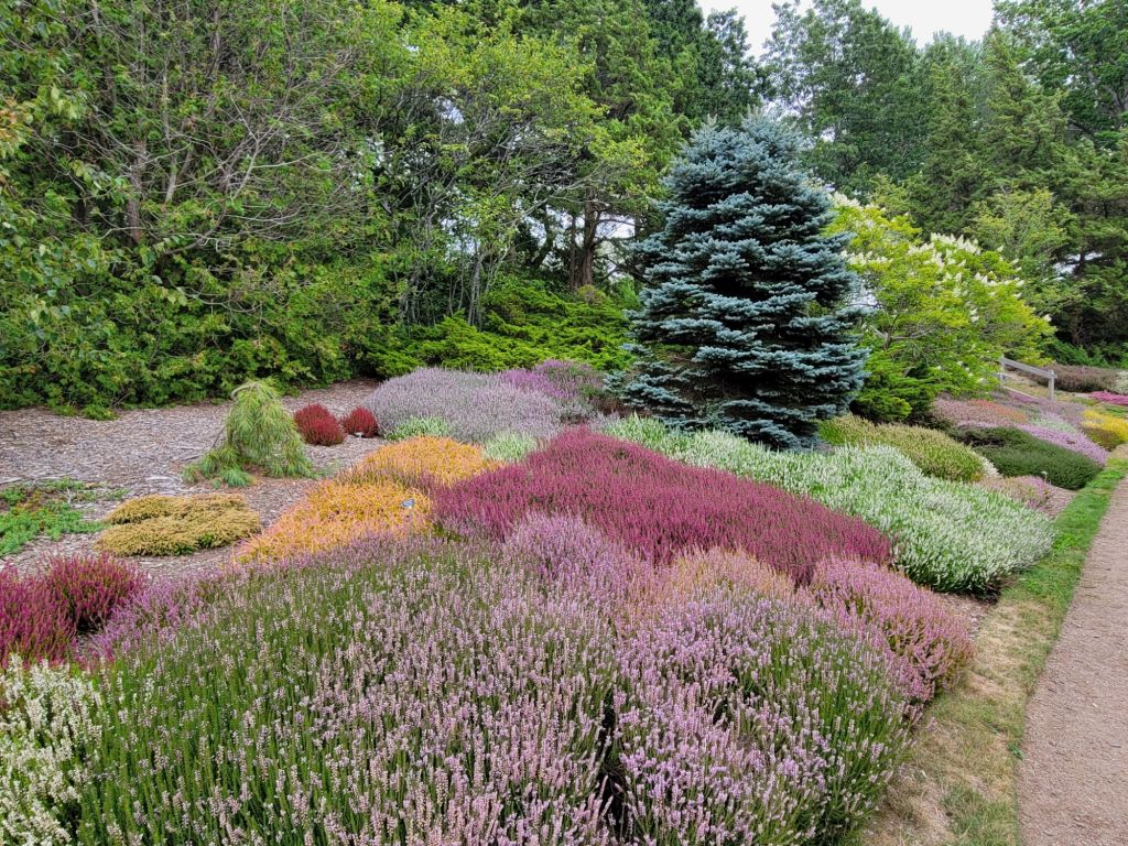
Look at all the varieties of heather!
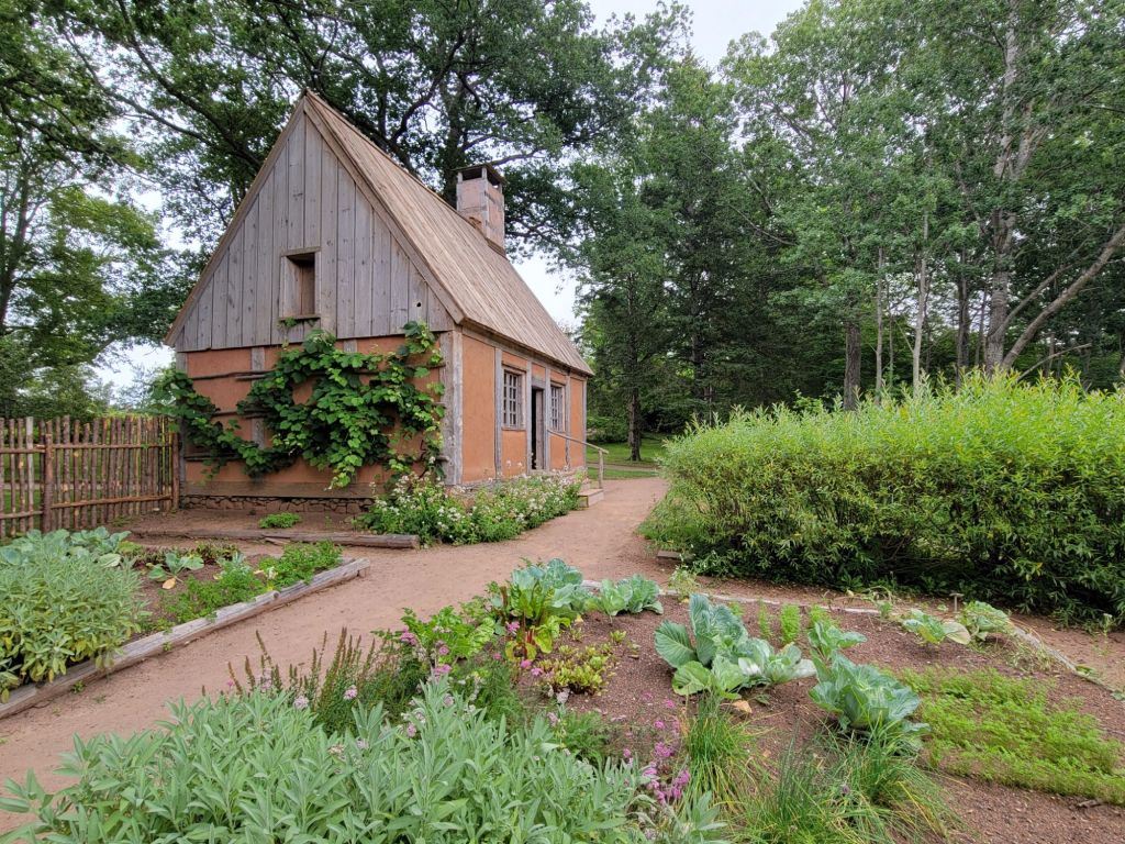
I think one of the gardeners told us that this cottage is a replica of a 1600s croft, but don’t hold me to that.
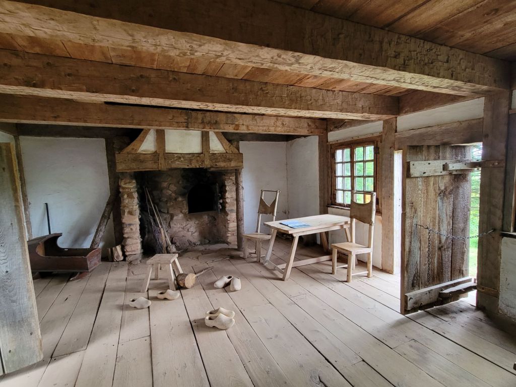
The inside of the croft.

The mosquitoes were relentless. They eventually chased us back to the car.

More medical stuff

On our way back to the camper, we stopped at the grocery store to pick up some food.

While we were there, the doctor that we had seen in Lunenburg called to say that, based on the results of the culture, the medication he had given me was not going to work for my infection. He called in a new prescription to the pharmacy at the grocery store, and we picked it up before we left.

When the pharmacist handed it over, she warned me that it would give me severe diarrhea. It would not be an understatement to say that she completely freaked me out.

We had reservations to take a whale watching trip the next day. It was going to take us an hour and a half to get to the tour (plus two ferry rides), and we would be on the water for 3 hours. When I woke up the morning of the tour, I decided that it would be too risky for me to go. I had no desire to have diarrhea and have no easily accessible restroom. So Greg went on the tour by himself. He took some really amazing videos of whales playing in the water and breaching, which he showed me when he got back.

The Ovens Natural Park

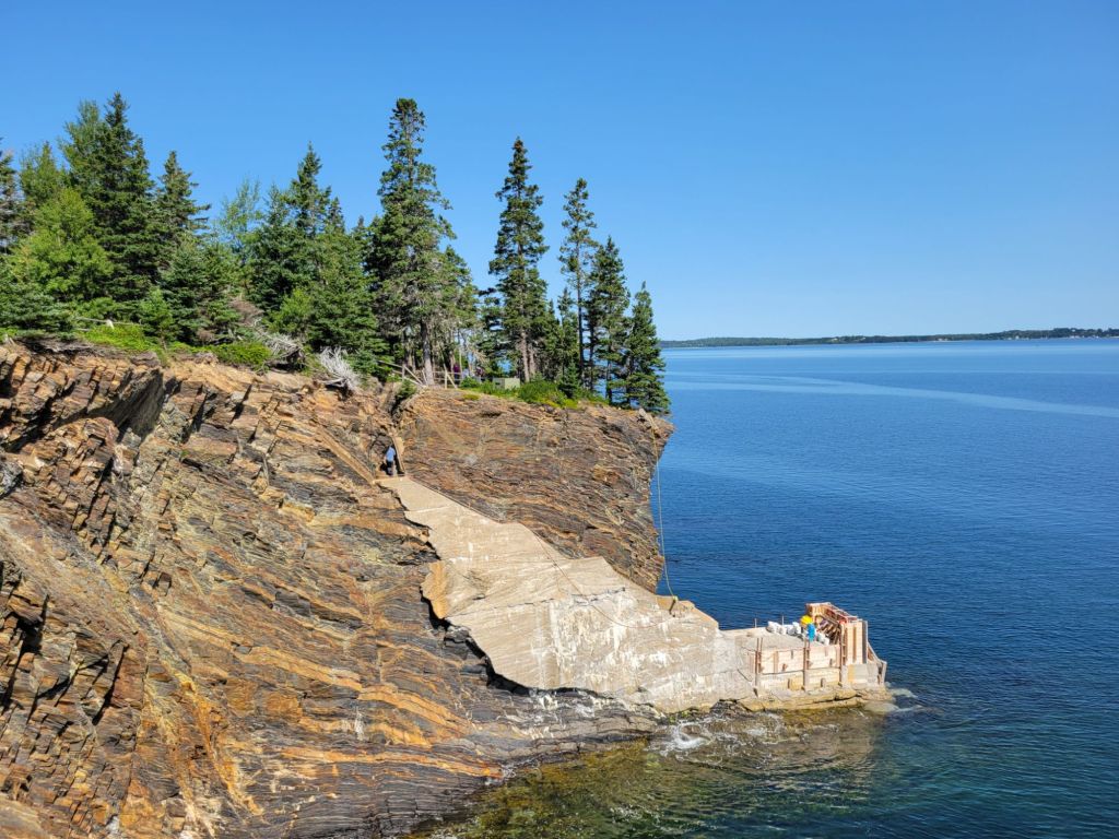
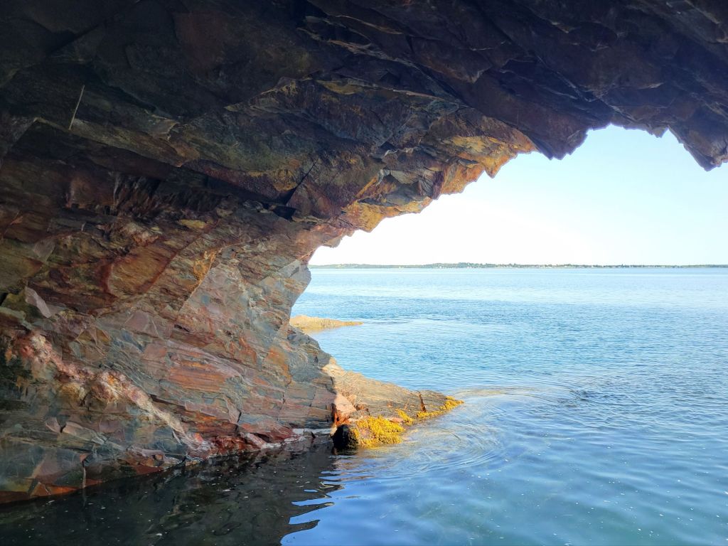
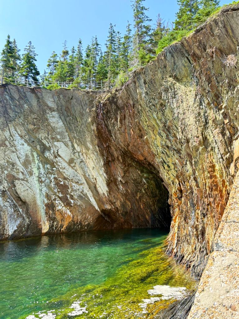
Today, we visited a small private park near Lunenburg called Ovens Natural Park. It is known for its sea caves and slate cliffs.

It is possible to kayak into the sea caves during high tide, and if we had been in Lunenburg longer, I might have tried to talk Greg into doing that.

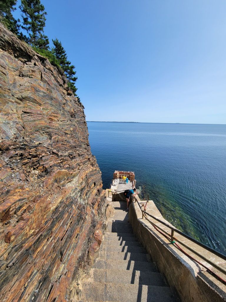
These cement steps lead to an underground tunnel with a view of the interior of one of the sea caves.
The steps as we were heading down them.
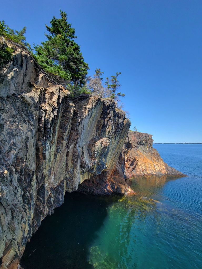
The view of the entrance to the sea cave.
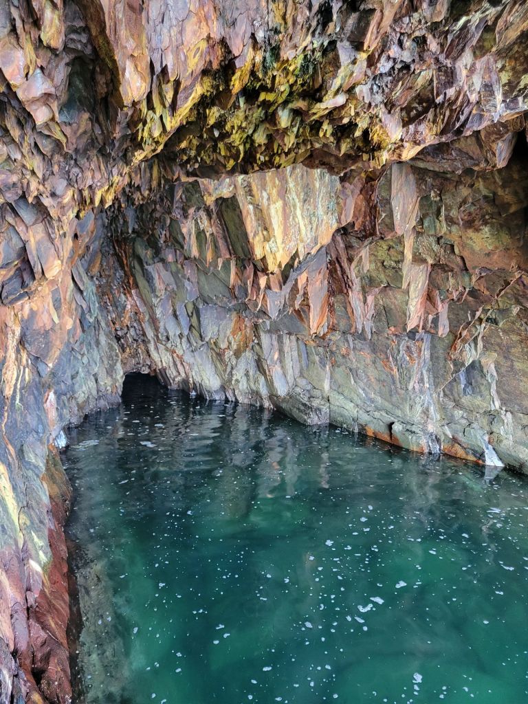
The interior of the sea cave. Through that hole in the back wall, deep underground, we could hear the thunder of the waves.
Another sea cave.

Lunenberg

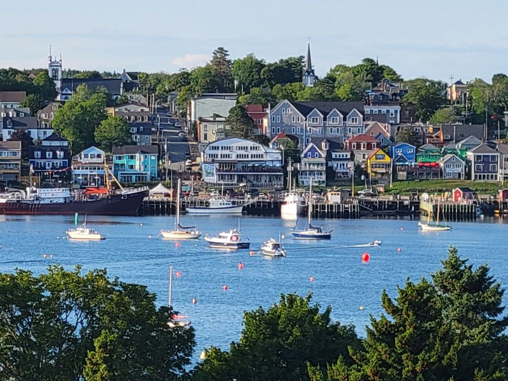
After visiting Ovens Natural Park, we headed to the golf course across the harbor from Lunenburg to see if we could get a good picture of the town.

I tried zooming in on the town to take a picture, but the photo looked grainy, and the details were not crisp. I had better luck taking an unzoomed photo and cropping it.

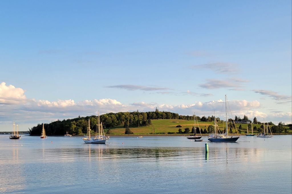
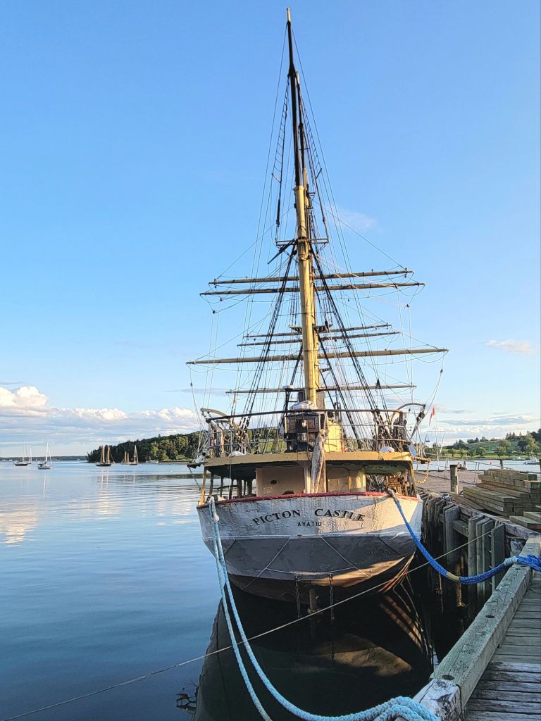
This photo was taken from the town of Lunenburg looking toward the golf course. The harbor had a large number of double masted sailing boats.
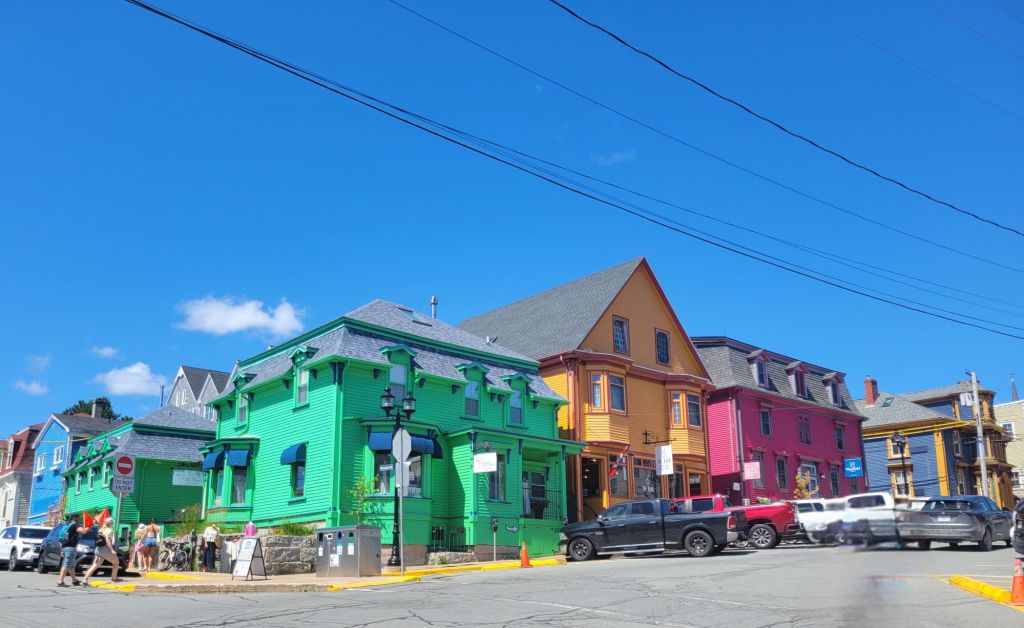
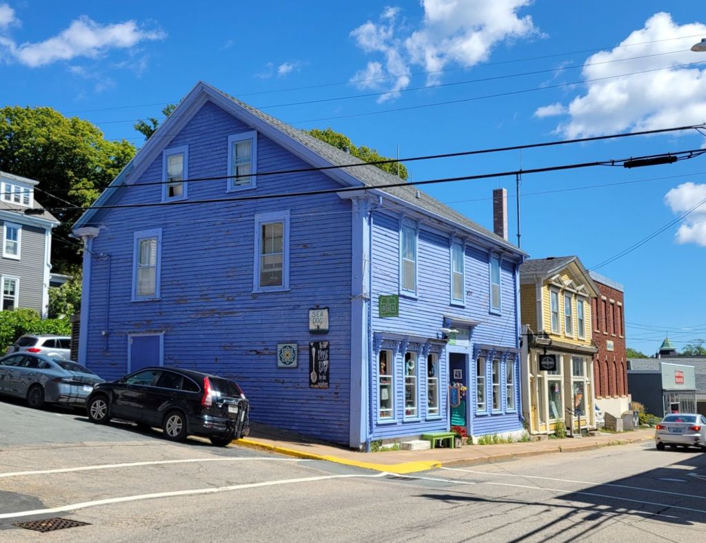
I love all of the pretty colors! Lunenburg really is a cute town. It is fairly touristy, though.
Greg was really excited to see the historical reproduction of the Bluenose schooner. Unfortunately, it was out of town at a regatta while we were visiting.

There is more that we could have done while we were in Lunenburg, but our last day was taken up with another ER visit and stop at the pharmacy to get medicine.

There is a bike path from Lunenburg to Mahone Bay that would have been fun. And I wouldn’t have minded a boat tour of the harbor, a visit to the Fisheries Museum, a walk through Mahone Bay, or a whiskey tasting at Ironworks Distillery.

Lunenberg food tour

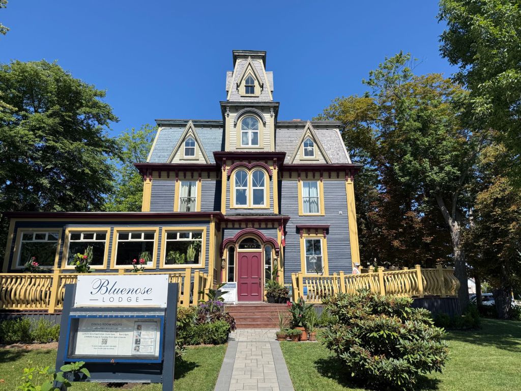
After a leisurely morning, we drove to Lunenburg for a walking food tour. We met our tour group at the Bluenose Lodge, where we had seafood chowder.

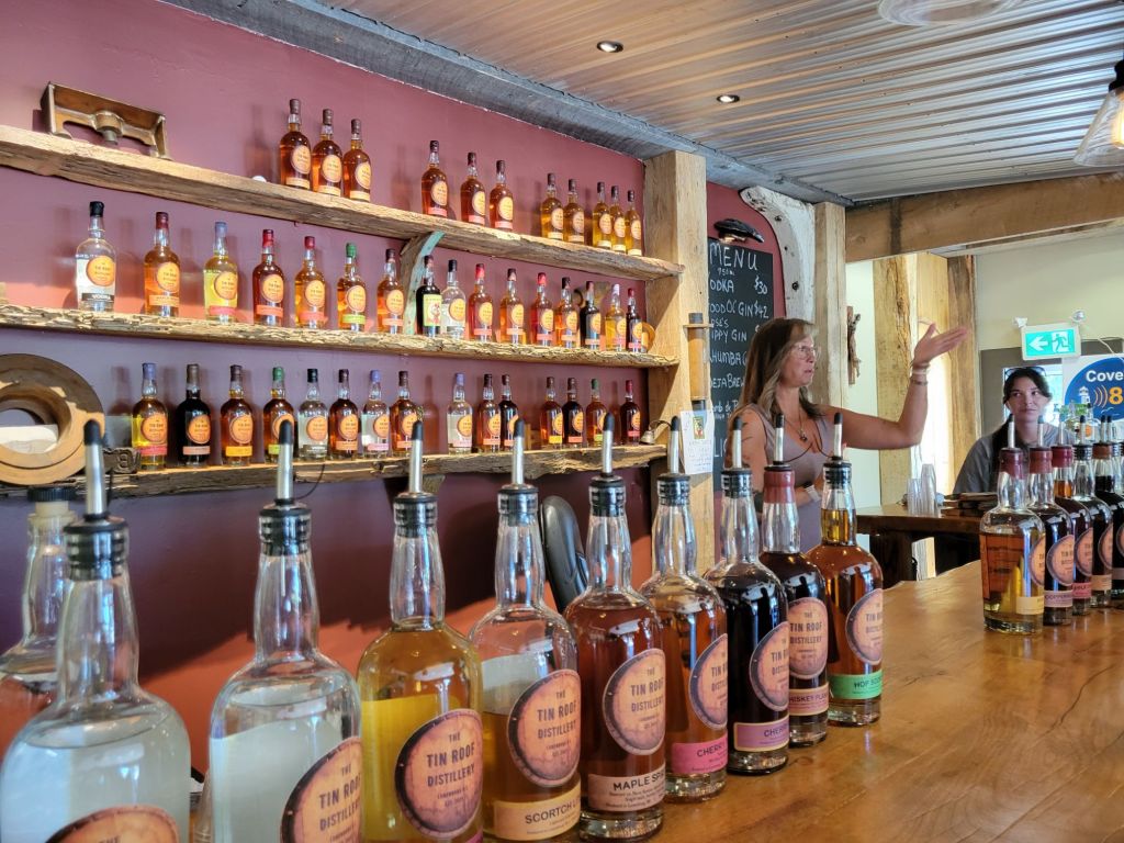
Next, we walked down the street to the Tin Roof Distillery, where we sampled some 15 different flavors of whiskey.

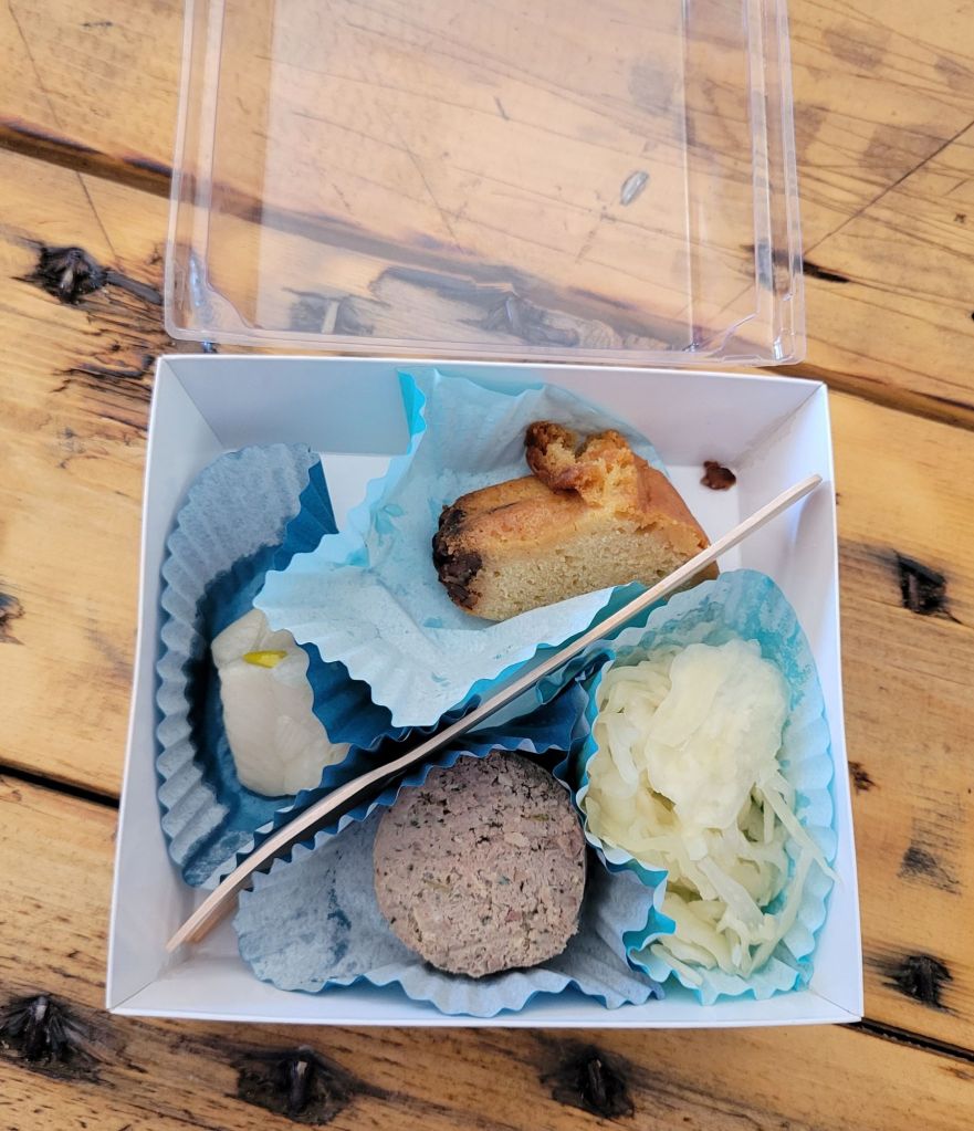
While we were there, our guide had us try some traditional Lunenburg foods: Solomon Gundy (pickled herring), Lunenburg pudding (a really dense sausage), sauerkraut, and rum cake.

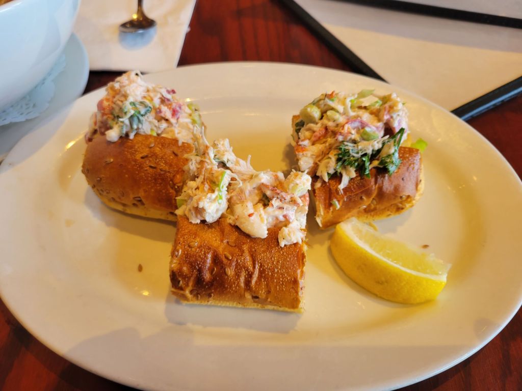
Over the next hour and a half, we tasted bacon and cheddar scones with cranberry juice, chicken salad with cranberries, haddock bites, lobster rolls and fresh potato crisps.

While we ate, our guide told us about the history of Lunenburg and some of its notable citizens. I learned that Lunenberg is best known for fishing, ship building, and rum running. Its colorful buildings make it one of the prettiest cities in Canada.

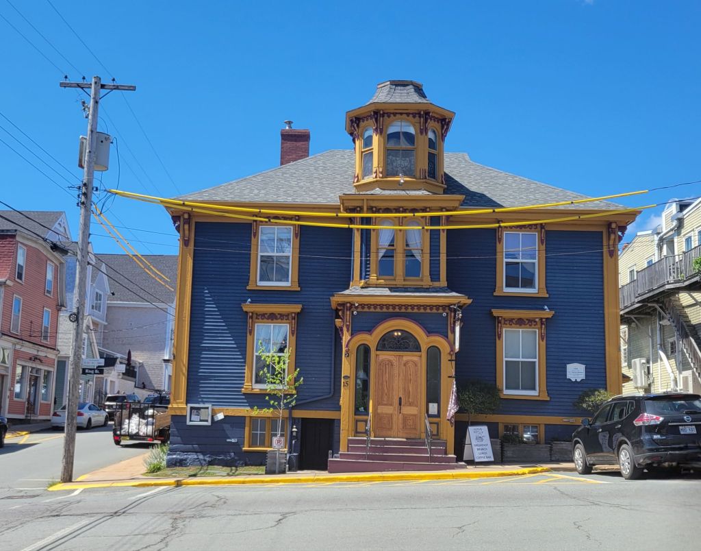
The bump-out on the front of the building is called “a Lunenburg bump.” It was a way for homeowners to showcase their wealth. The house in the photo below also has one.
The lobster rolls
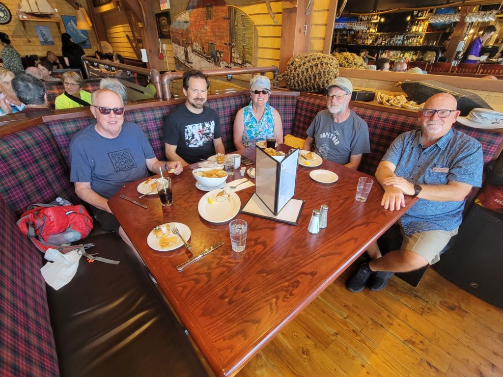
Our tour group. (From left: Greg, a freelance journalist from England, a couple from Seattle, and our tour guide.)

Lobster and Luminescence kayak tour

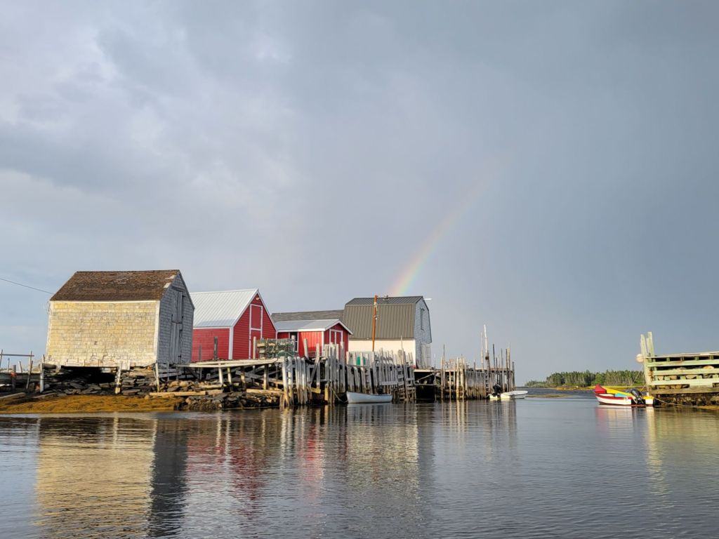
Later that day, we headed to Blue Rocks, a small fishing village, for our Lobster and Luminescence kayak tour. The weather was threatening to storm.

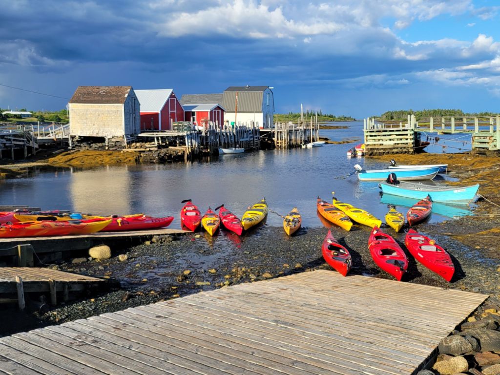
The village of Blue Rocks.
Just as we were climbing into the kayaks, a rainbow appeared on the horizon.
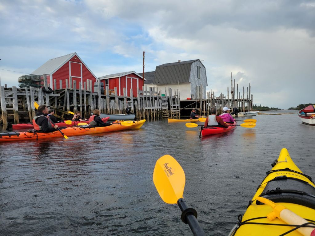
The group, heading out. Once again, Greg and I were the oldest folks on the trip.

Usually, Greg and I are extremely prepared for whatever adventure we decide to do. This time, unfortunately, we both forgot to put our water shoes in the car. That would not have been a problem except for the fact that Greg’s shoes were almost too large to handle the foot pedals that controlled the tiller of the kayak. As a result, we were often heading off in the wrong direction.

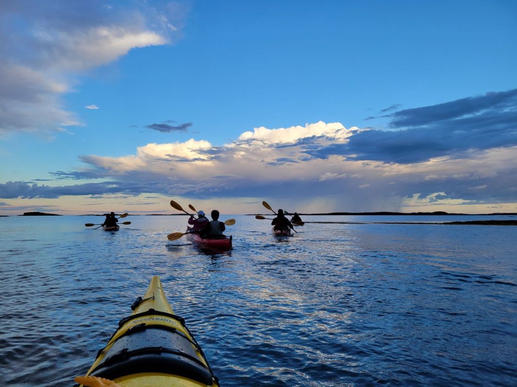
You can see the rain falling in the distance. We experienced a couple of showers over the course of the trip.

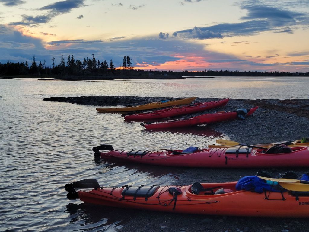
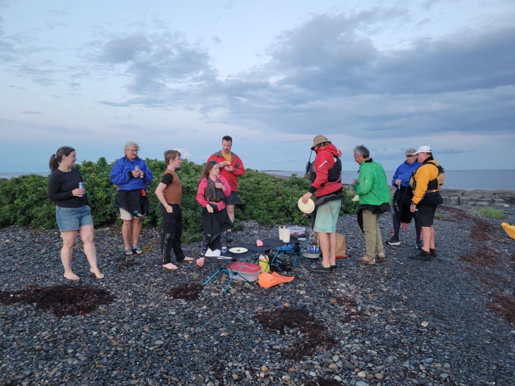
As the sun was setting, we pulled up to a tiny island to enjoy our lobster roll dinner. Along with lobster rolls, we had potato salad and frosted chocolate brownies.

The little girl in the long-sleeved pink shirt talked everyone into playing a guessing game (she didn’t exactly take no for an answer), where she would think of an animal and we would have to ask her questions until we could figure out what the animal was.

Once it was fully dark, we climbed back into our kayaks and headed off for the luminescence part of the tour.

Let me tell you, it is not easy to kayak in the dark! Especially not under a new moon. We brought headlamps with us, but if we had used them, we would not have been able to see the luminescence in the water, not to mention the fact that the mosquitoes swarmed the light.

It became increasingly difficult for me to tell the difference between other kayakers and rocks jutting out of the water.

At times, I didn’t know whether to direct my eyes to the sky, which was filled with stars and the Milky Way, or into the water, where our paddles disturbed bioluminescent algae, causing bright sparkles to swirl through the water. It was magical. If we dipped our hands in the water, we could capture them in our palms.

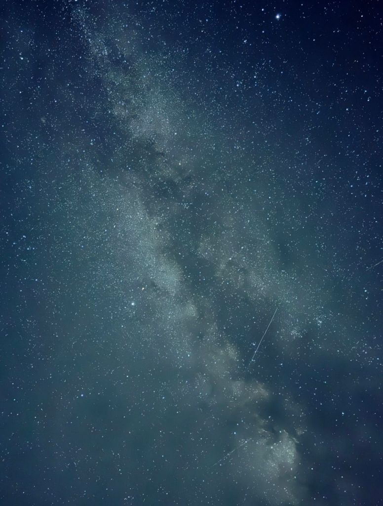
Once back at the camper, we decided to take our cameras and see if we could get some photos of the night sky. Sadly, my camera refused to work at all, but Greg was able to get this photo of the Milky Way with some of the Perseid meteor showers captured in it. Better yet, we were able to catch one of the meteors shooting across the sky with our own eyes.

There are three meteors in this photo. Can you see them?

Tidal bore rafting trip

Ever since we arrived in Nova Scotia, Greg has wanted to do this rafting trip. He finally got his wish today. I was significantly less enthused about it. I tried to convince him to leave me behind, but he wasn’t having it.

I’m so glad I went! It was amazing.

After signing our lives away and getting our life vests on, we all trooped down to the Shubenacadie River to wait for the leading edge of the tidal bore to pass.

(Many of the following pictures were taken from TripAdvisor. We were not able to bring our camera phones on the boat. The guide had a GoPro, and she took some video and photos for us, but she didn’t get photos of everything I would have taken a picture of.)

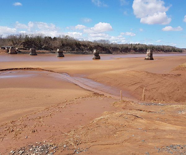
At low tide, most of the river’s muddy bottom is exposed. Then, as the tide rushes in, the water rises 3 inches every minute for the next 4 hours. (Photo from TripAdvisor)

We stood on the muddy floor of the river and waited for the tidal bore to arrive.

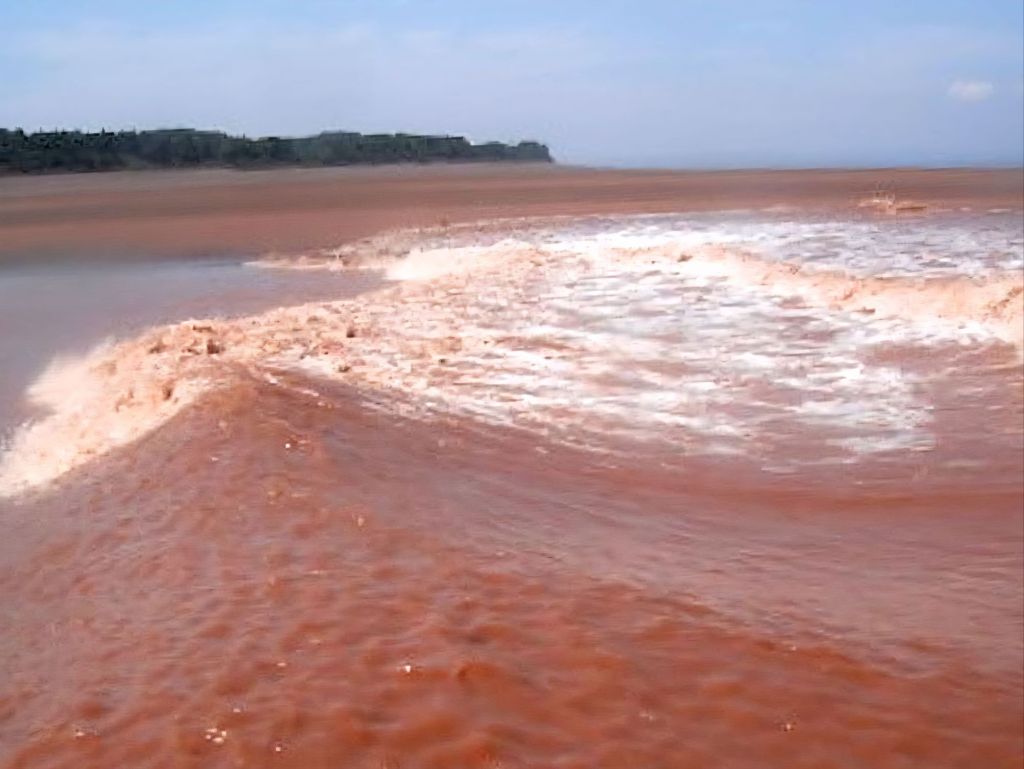
This is what the leading edge of the tidal bore looks like. (Photo from TripAdvisor)

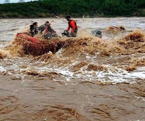
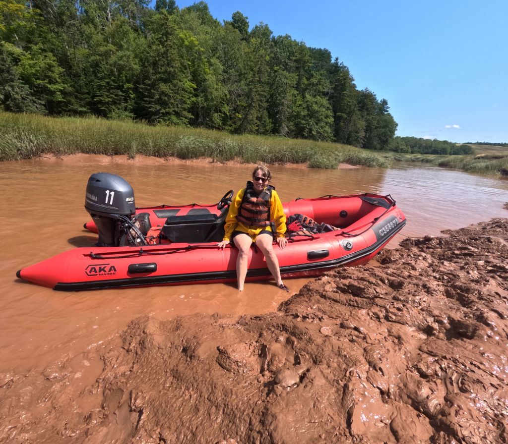
After the leading edge of the tidal bore passed, we all hopped into our powered rafts and headed off to follow it. As the water rushed over the sandbars, it created large standing waves.

(Photo from TripAdvisor)

For about an hour, our guide powered us through the rapids created by the rising water. Some of the waves were about 6 ft tall. At times, there was so much water in the bottom of the boat that I thought we might sink.

We had three little kids and their parents with us in our boat. The littlest kid, Evelyn, was absolutely petrified. The two older boys were having the time of their lives. It was so much fun to see their excitement.

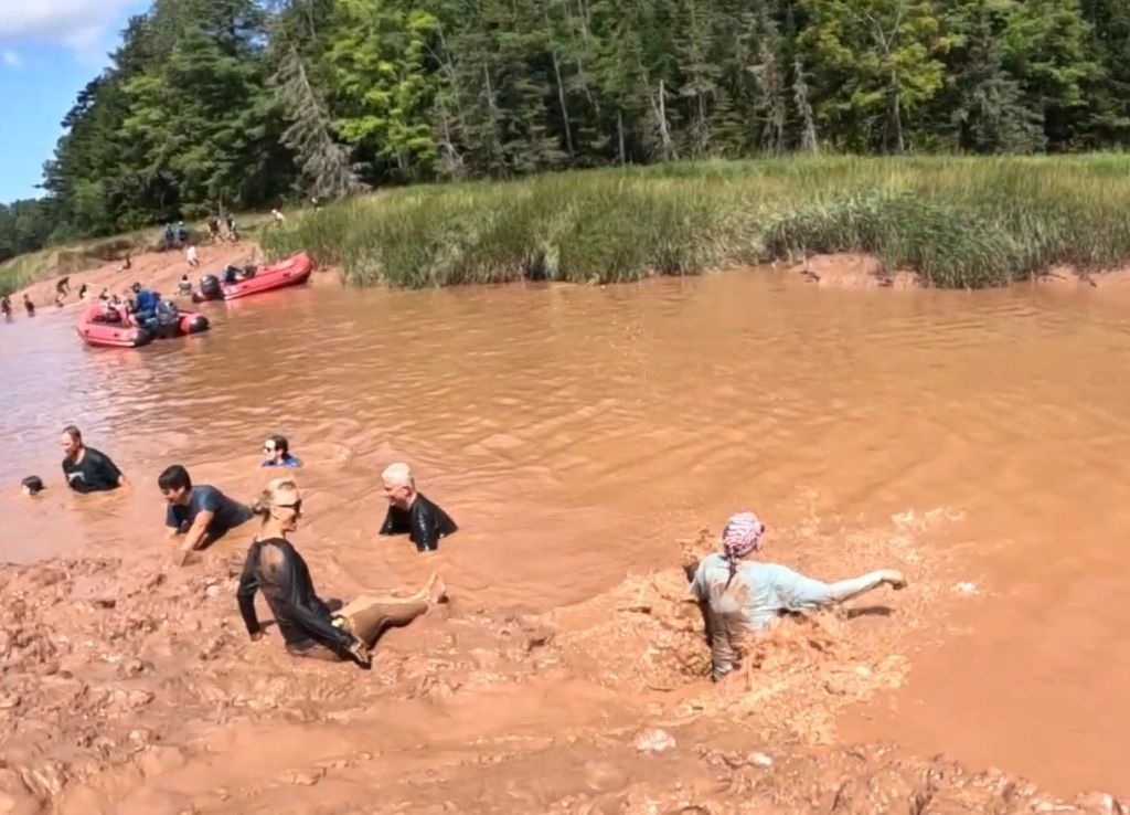
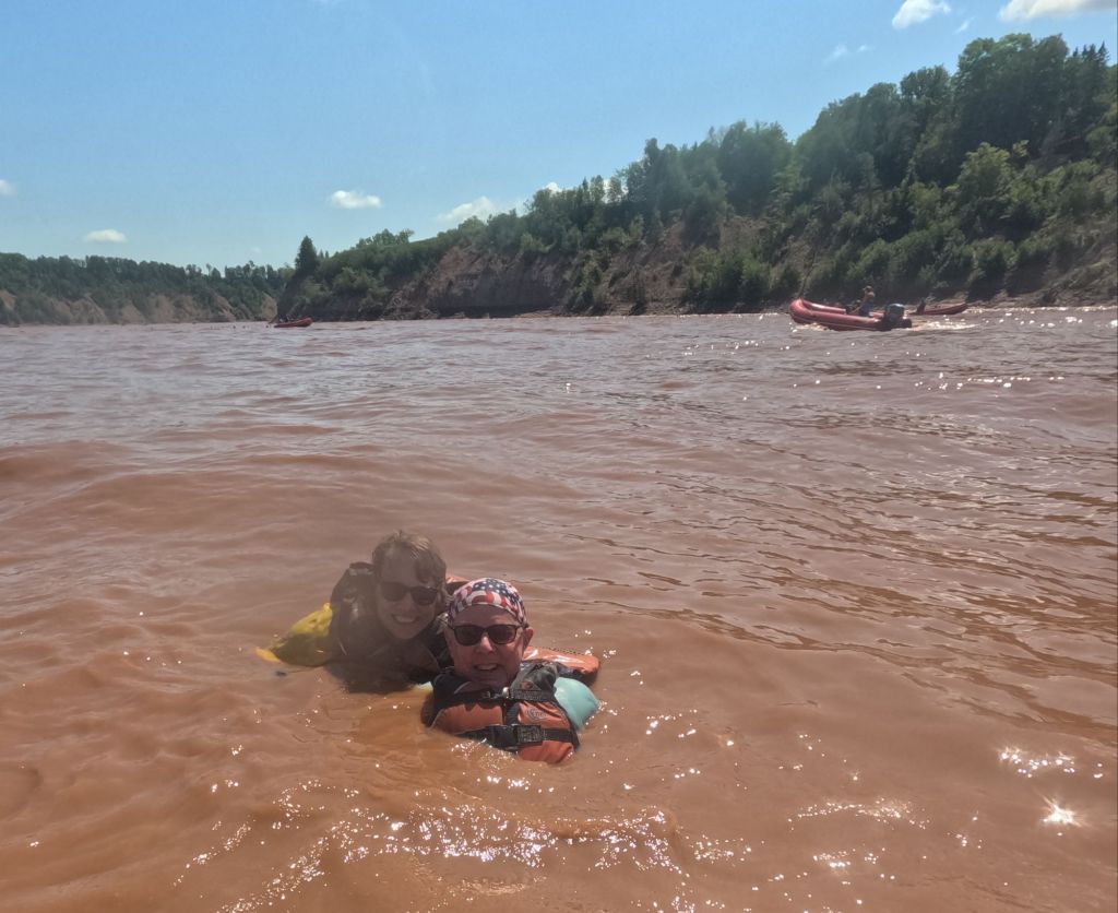
As the water started to settle, our guide stopped the boat and gave us an opportunity to hop out and swim. (Yes, the water really is that muddy!) Getting back into the boat was quite a challenge!

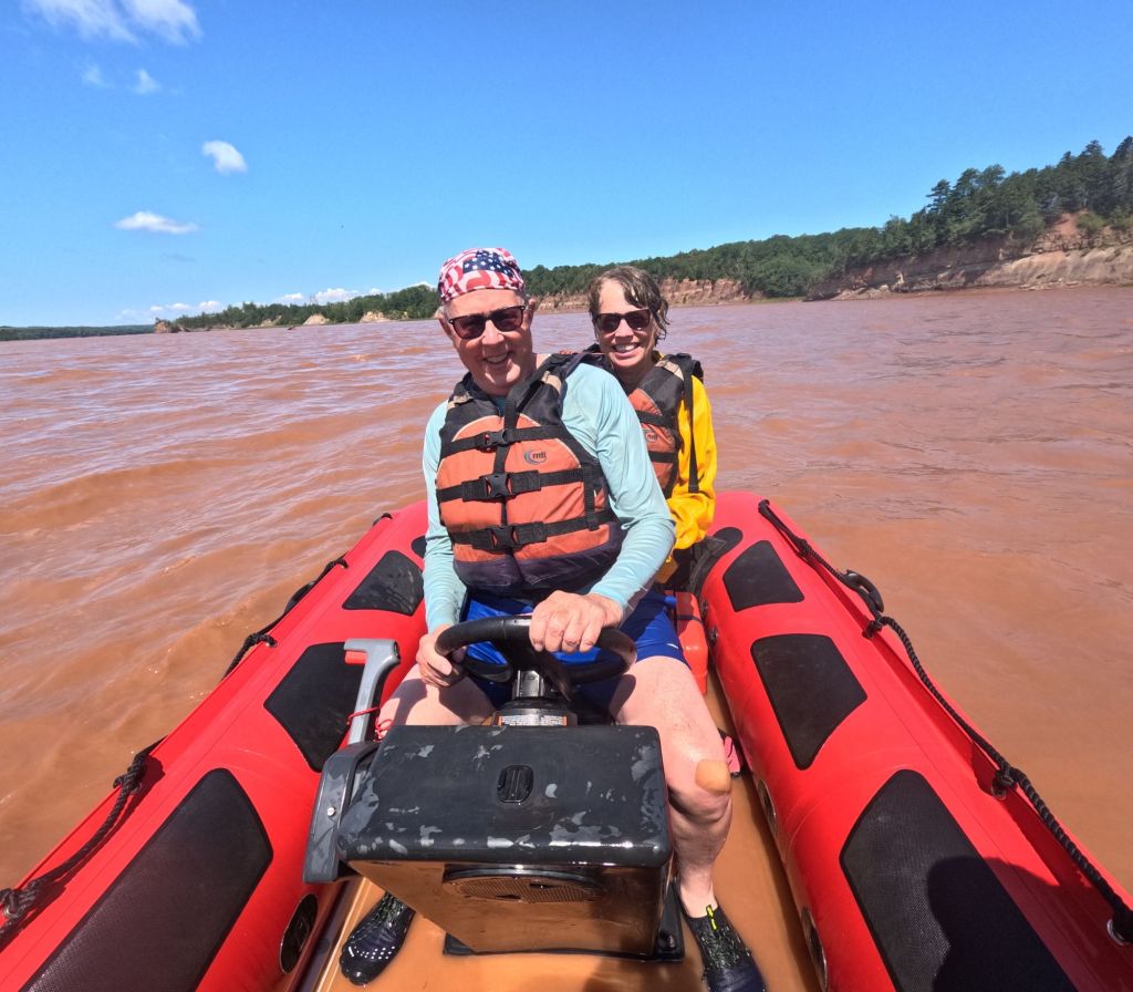
Greg and I. Photo taken by our guide, Steph.

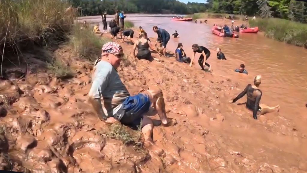
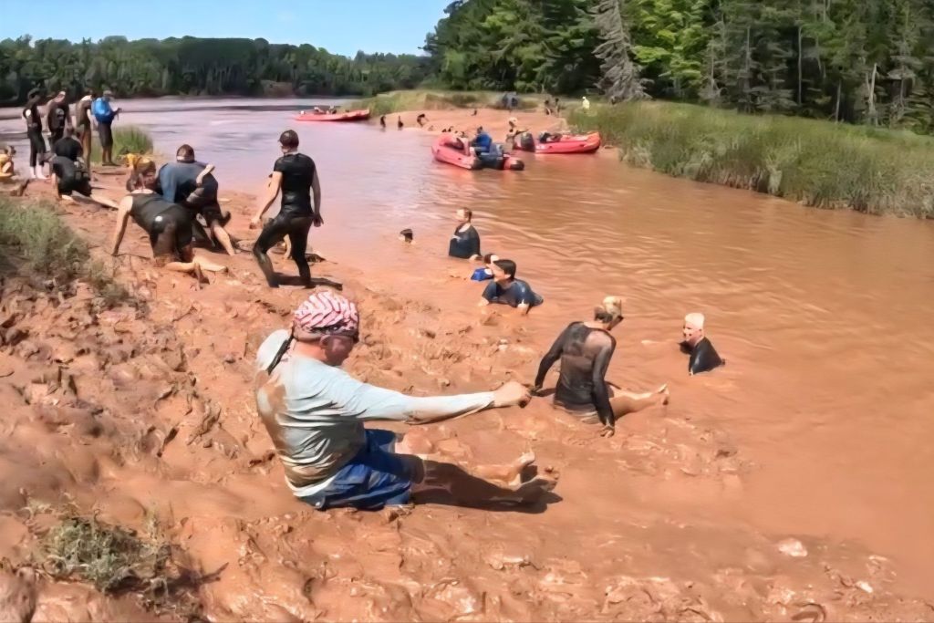
And finally, we headed a little further up the river to where there were muddy banks. Everyone got out of the boats (except me) and went sliding down the banks.

Greg, the intrepid adventurist, decided to give mudsliding a try. I would have given it a try as well, except that I was concerned about getting mud in parts of my anatomy that were already giving me a challenge. 😆
Me, watching Greg slip-slide in the mud like a beached whale. I haven’t laughed this hard in months.

By this point, the water in the river had calmed down quite a lot. We raced the boat back to our starting point and called it a day.

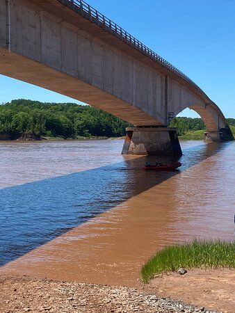
When we first walked down to the river, the area underneath this bridge was completely dry. (Photo from TripAdvisor)

Peggy’s Cove

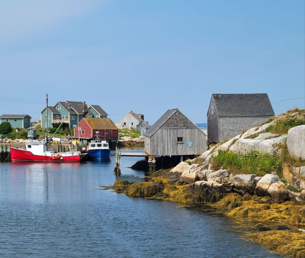
Today was a beautiful day. We headed to one of the local tourist attractions called Peggy’s Cove.

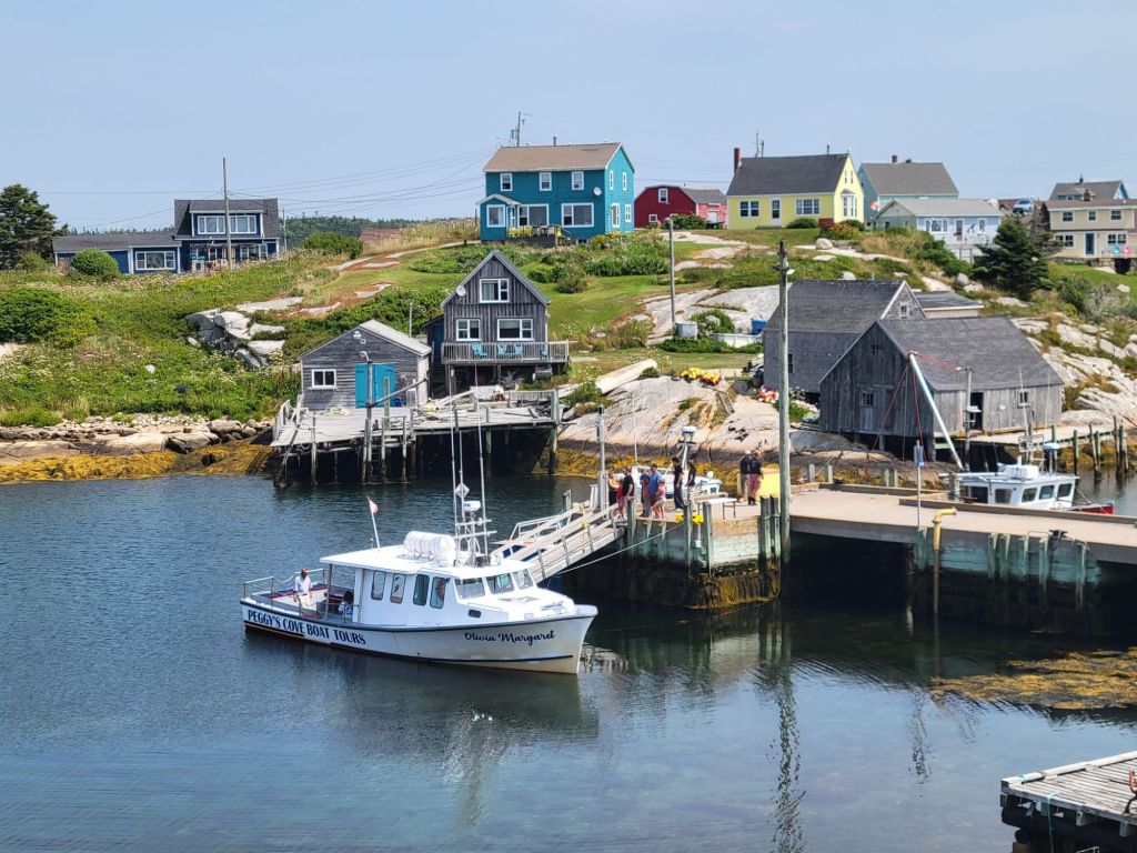
Peggy’s Cove is an adorable tiny fishing village where you can find shops, restaurants, and art galleries. Its total year-round population is 35 people.

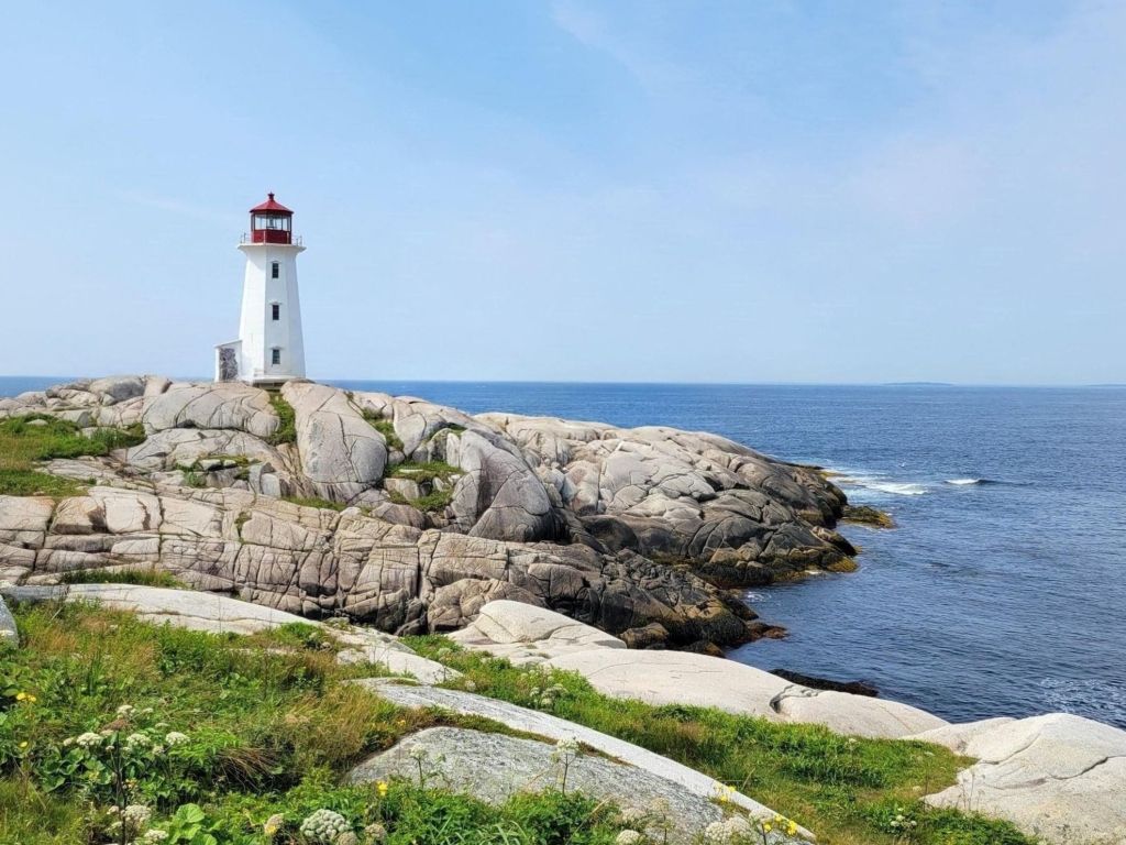
Greg and I stopped into one of the art galleries, where we purchased a print of the lighthouse.

I am pretty sure that I have painted this little fishing village and its lighthouse from photos I found on the internet. I’m so excited that now I have my own photos to use.

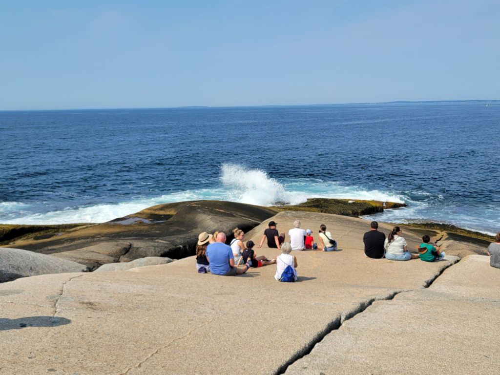
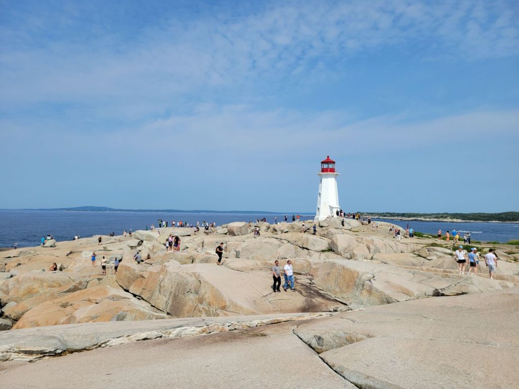
The main attraction of Peggy’s Cove, however, is its lighthouse. It is perched on top of a vast rocky shoreline that is accessible to the public.

In the photo above, I have removed the people.

Halifax Harbour Boardwalk

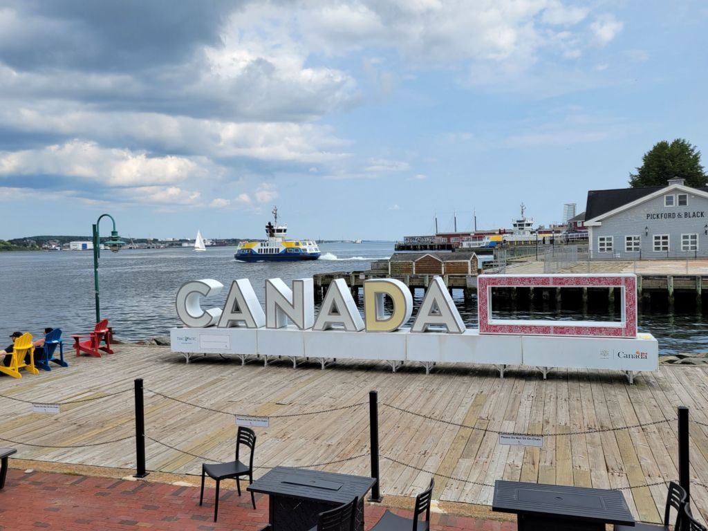
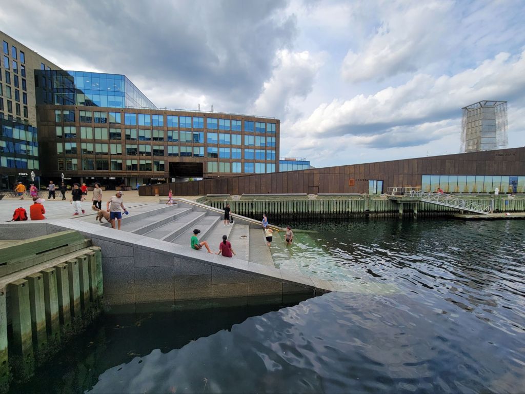
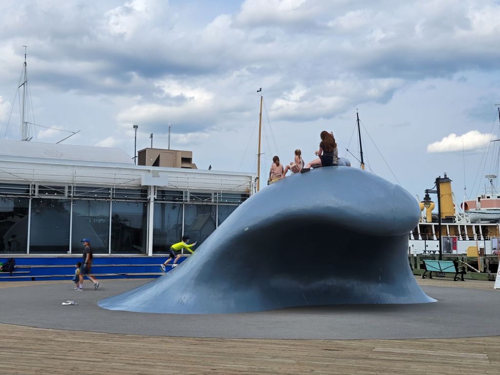
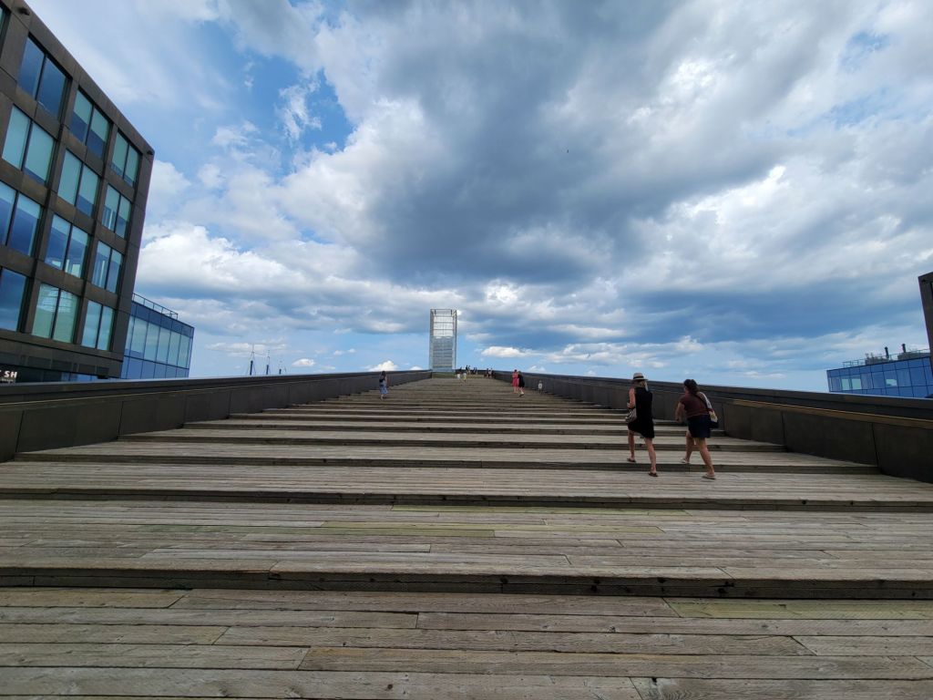
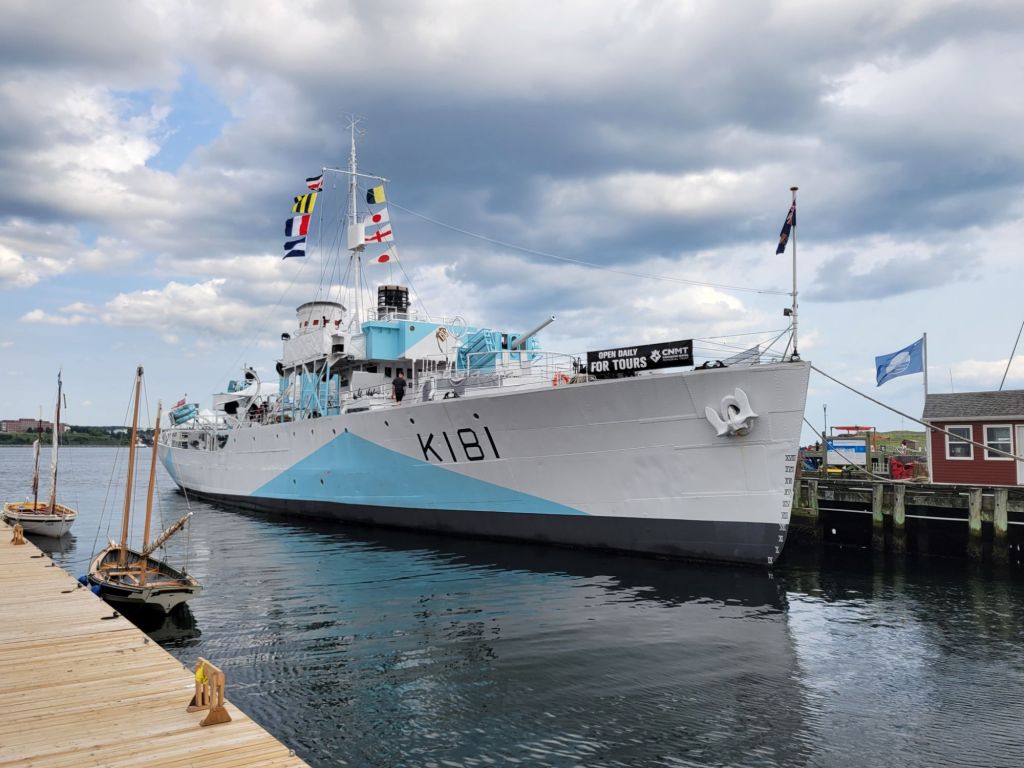
After Peggy’s Cove, we headed back to Halifax to take a walk along the harbor boardwalk.

There are two parking lots near the harbor where we were able to find parking both times that we visited Halifax. It made the visit much less stressful!

Harbour Hopper

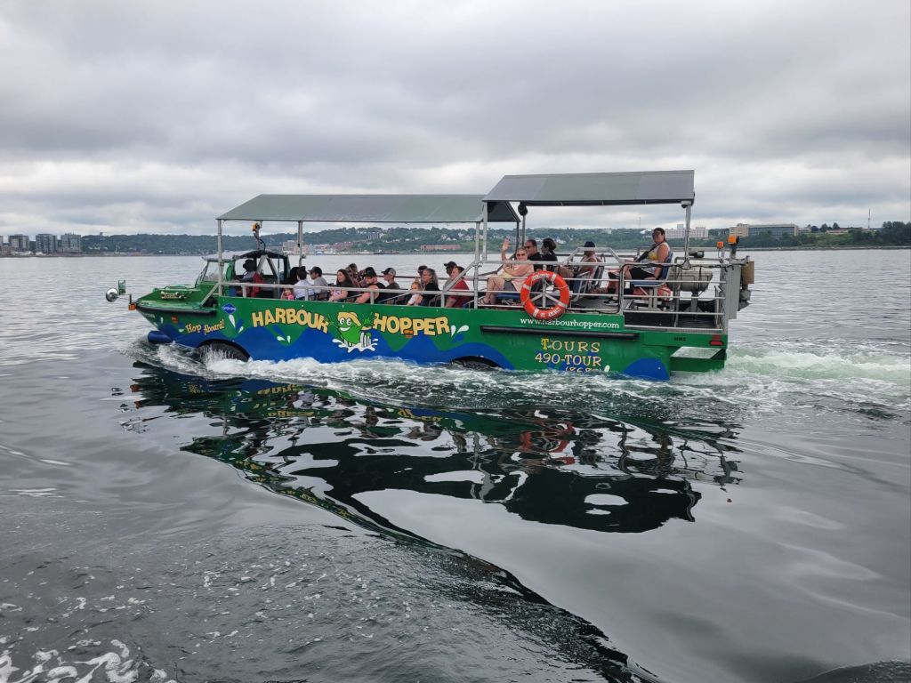
Today we headed to Halifax for a Harbour Hopper tour, which is similar to a Duck tour in the U.S. As you can see from the photos, the skies were cloudy and gray.

This is one of the other Harbour Hopper boats that passed us while we were in the harbor. It is identical to ours.
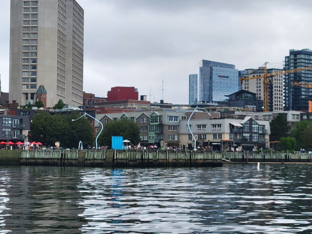
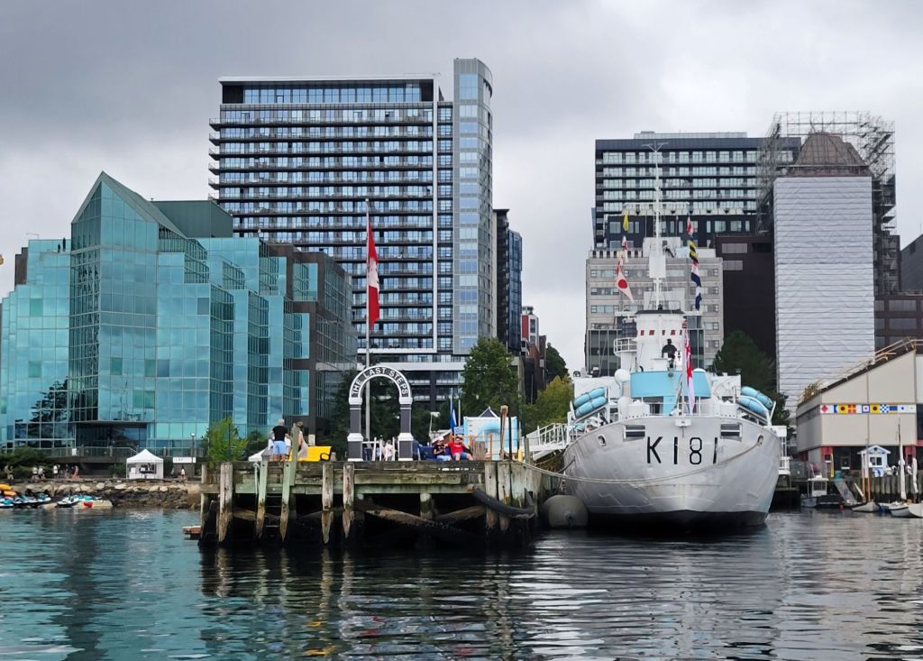
The Drunken Lampposts are an art installation along the harbor boardwalk. There are three of them. One is called Fountain (because it is peeing into the harbor), another is Get Drunk, and the third is Fall Down. You can just see the curve of part of Fall Down in the photo. (The rest of it is lying on the boardwalk, passed out.) Together, they represent what happens in Halifax at night on the waterfront.
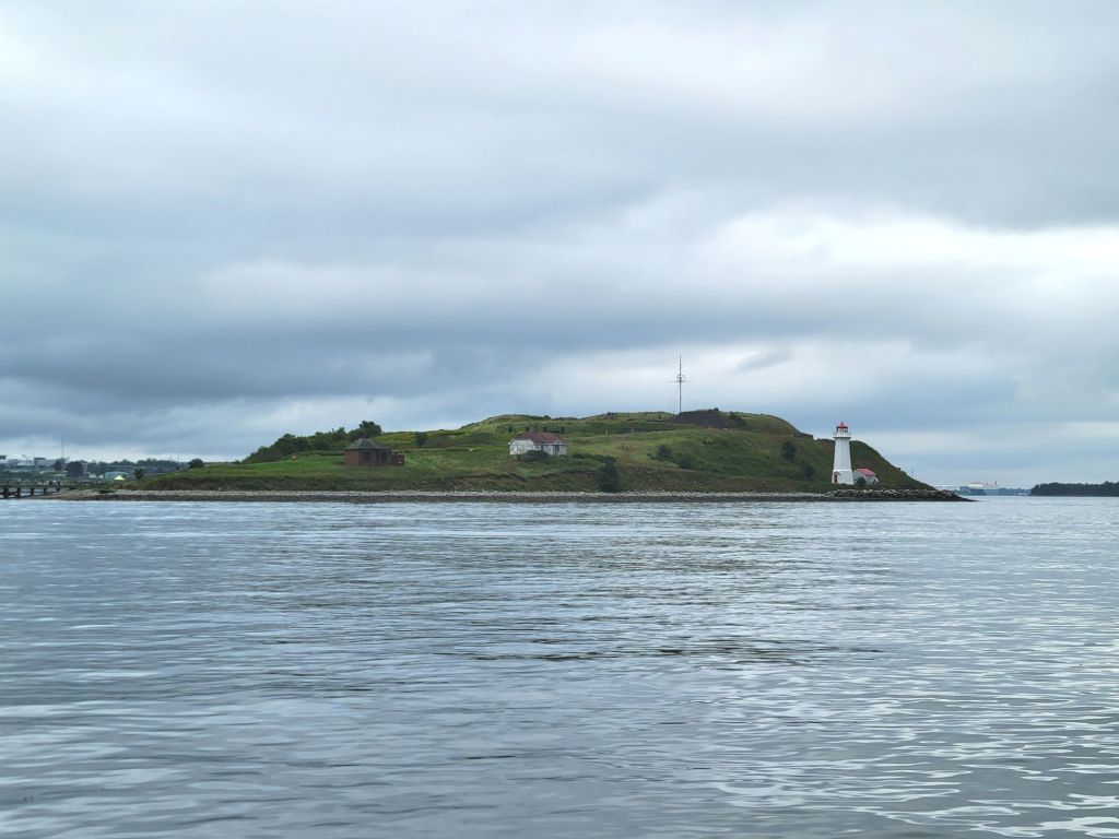
St. George’s Island. I wanted to go over and tour the island, but it never happened.

One of the stories that our Harbour Hopper tour guide told us was about a huge explosion that occurred in 1917, when a French cargo ship fully loaded with explosives collided with a Norwegian ship in the harbor, causing a blast that killed more than 1,700 people and injured 9,000 others. The explosion destroyed buildings within an 800-metre radius and created a tsunami that exposed the bottom of the harbor.

Another medical clinic

After our tour, we stopped by a local restaurant on the boardwalk and had lunch (more seafood chowder).

Then we walked to a nearby pharmacy/medical clinic to get another UTI test since I was still having a lot of discomfort, and I was almost out of antibiotics. Although the people were very nice, I wasn’t really satisfied with the experience.

At that point, we headed back to the camper because the weather was getting even more threatening.

Skyline Trail

Today it was sunny and hot. We hiked the Skyline Trail. It’s a very popular trail in Cape Breton Highlands National Park. It’s so popular that at specific times of the year, you need to make a reservation for a specific time slot if you want to hike it.

The trail itself was fairly boring. There wasn’t much to look at, and it was very sunny and humid.

The trail was pretty much 2 miles of this.

Once we reached the headland, though, we had a beautiful view of the Atlantic Ocean. We even got to see some pilot whales.

Here, you can see the boardwalk leading down to the viewing platform. There is at least one other platform down the headland a bit further.
Looking off to the left. That winding road is the Cabot Trail.
Looking to the right.
See that mossy green groundcover blanketing the mountain in the photo above this one? That is wild blueberry. Yum!

Greg took a tumble on the way back from the hike, so we headed back to the camper to relax for the rest of the day.