Page, Arizona

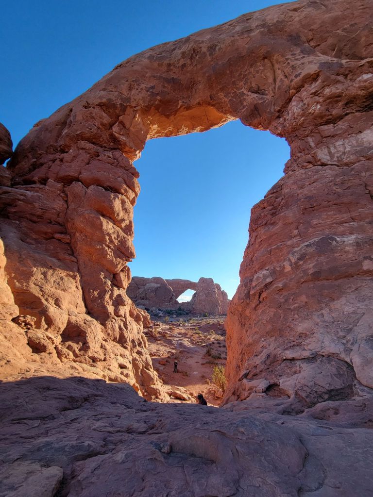
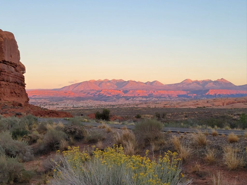
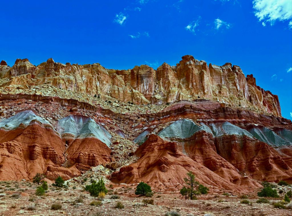
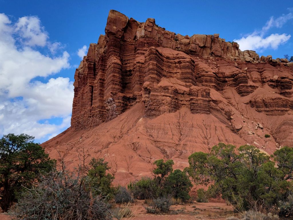
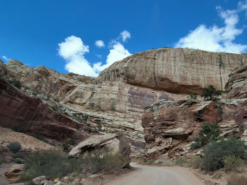
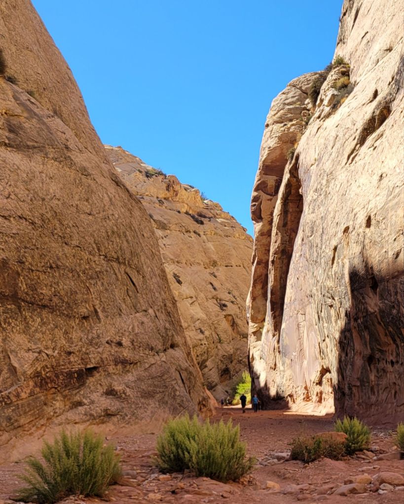
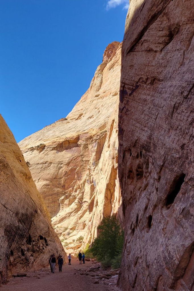
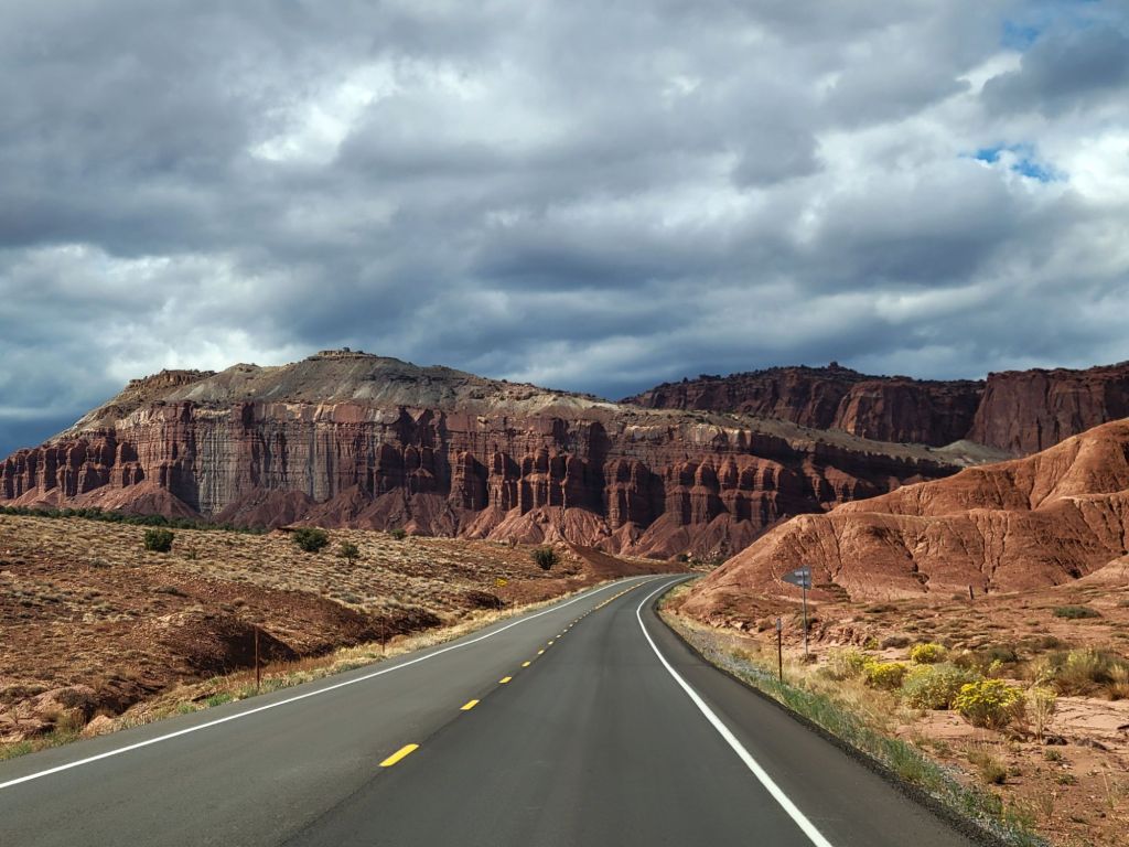
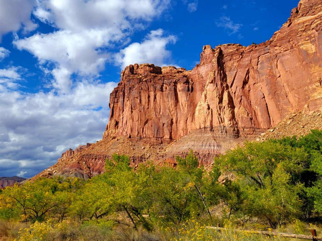
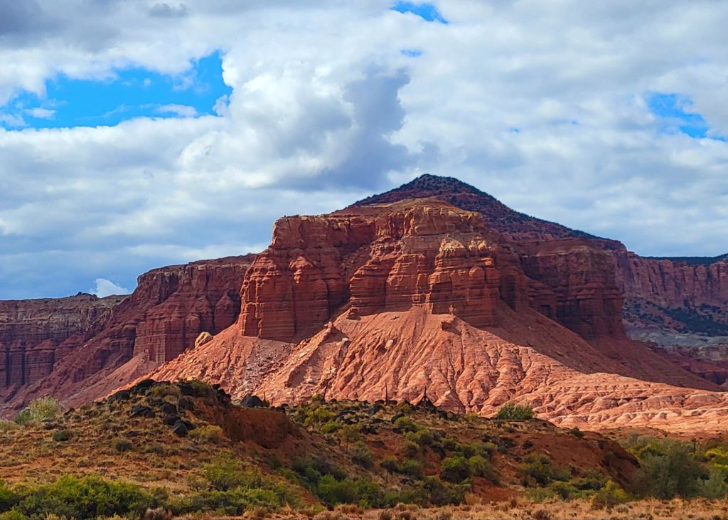
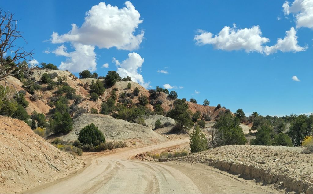
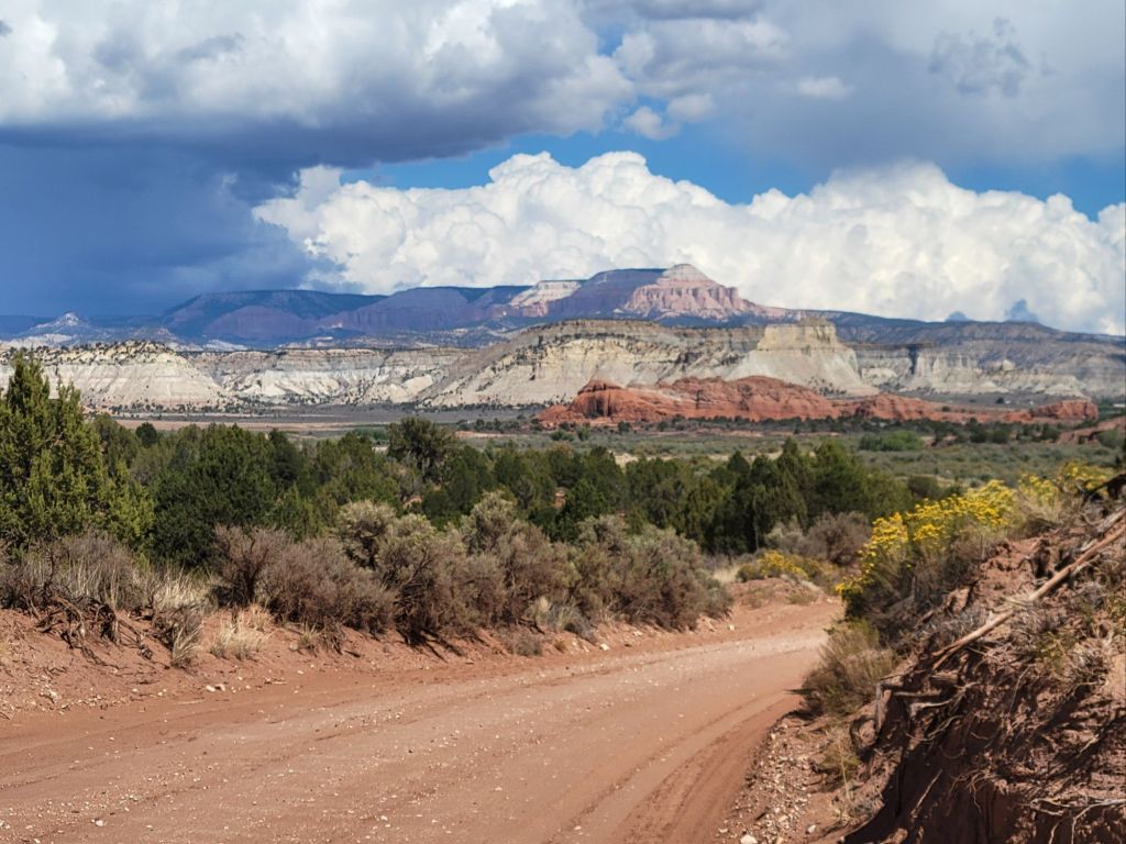
Our next stop after Arches and Canyonlands was supposed to be Mesa Verde. We even had a tour of the Cliff House scheduled.

Sadly, the government shutdown nixed those plans. Mesa Verde is closed.

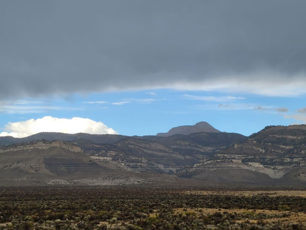
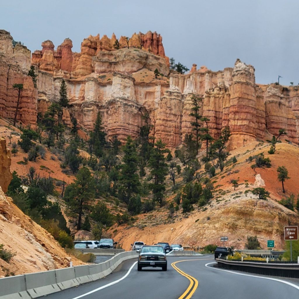
We decided to drop Mesa Verde and Monument Valley off of our itinerary and head straight to Page, Arizona.

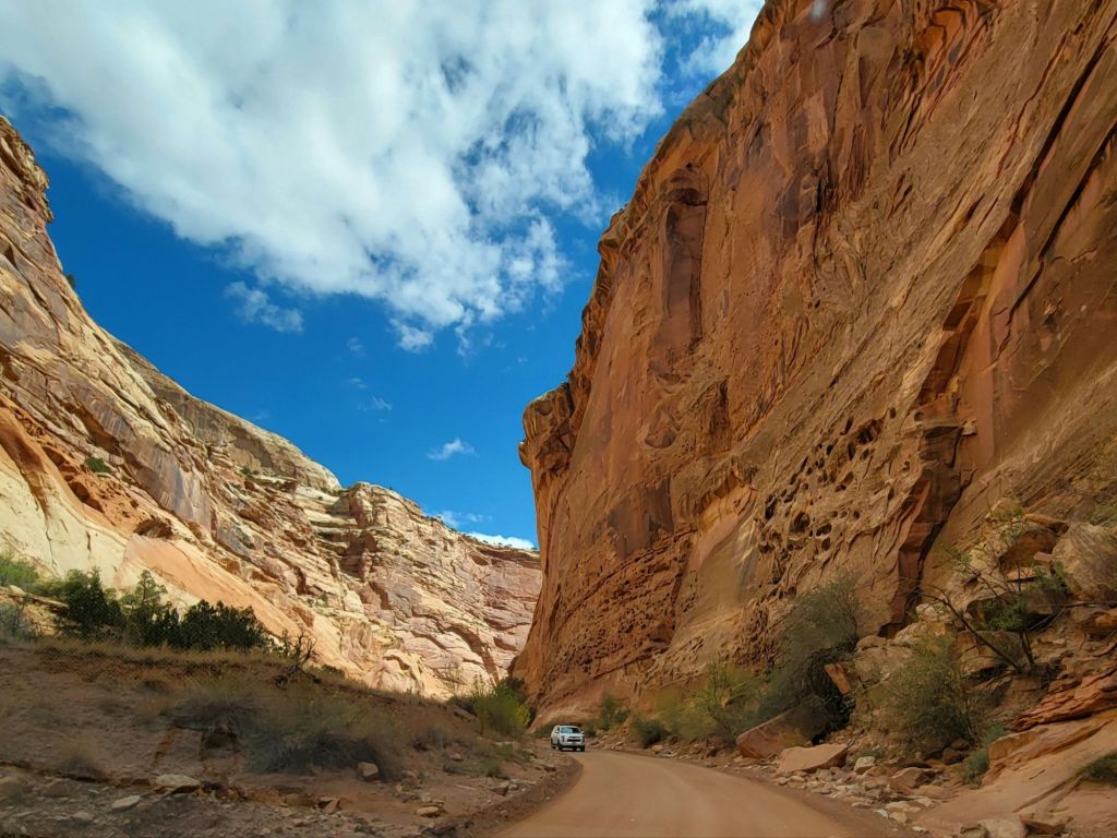
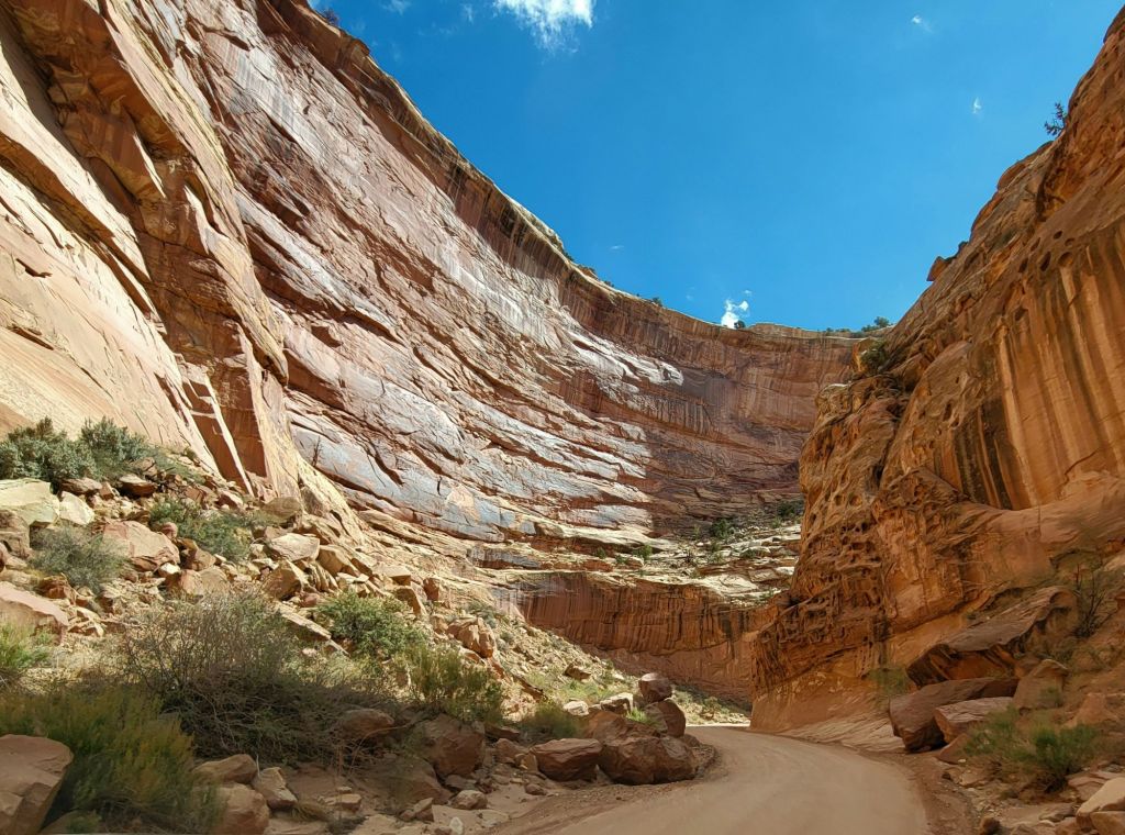
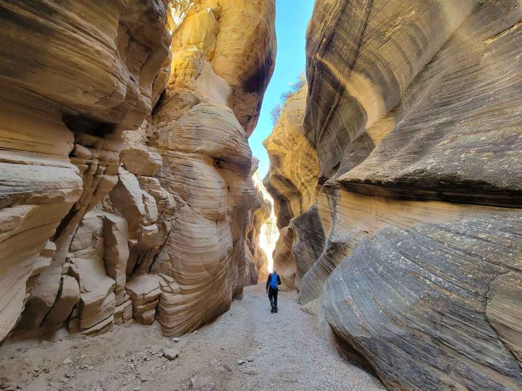
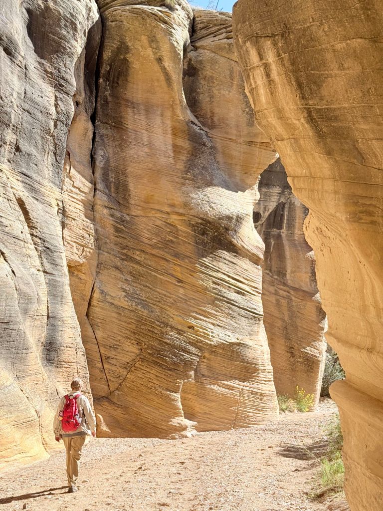
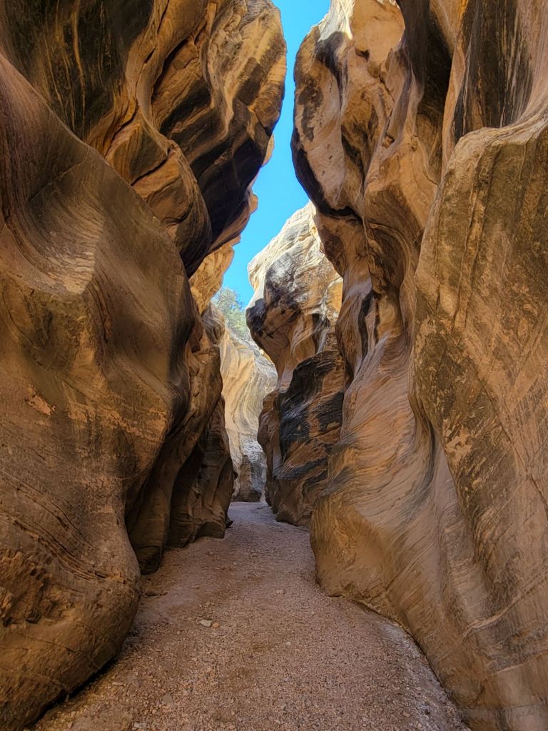
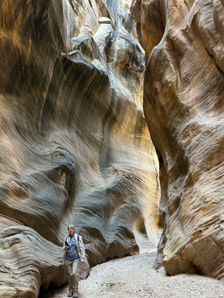
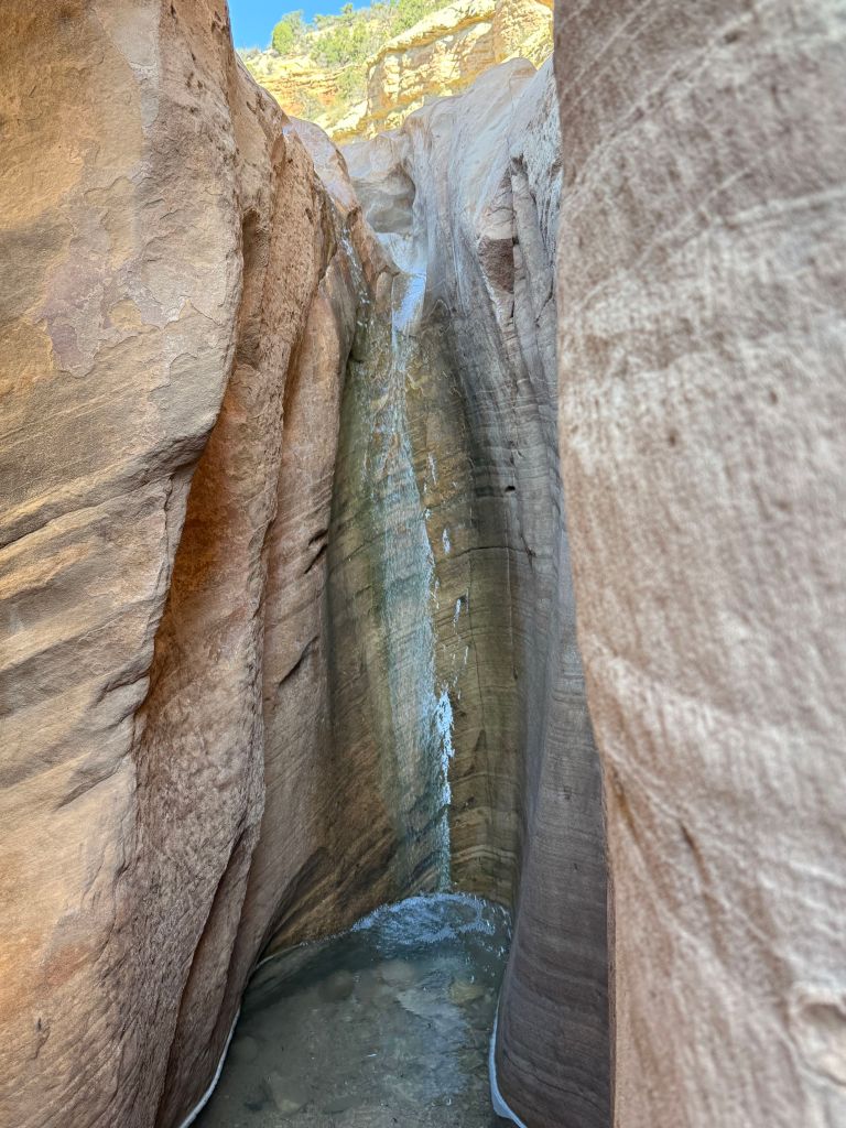
Of course, that meant that the tours of Upper and Lower Antelope Canyon had to be rescheduled.

The only time we were able to schedule a tour of Upper Antelope Canyon was Friday morning, when the weather forecast was predicting that we would be experiencing the height of Tropical Storm Priscilla. We went ahead and booked the tour anyway. Time will tell whether we get to go on it.
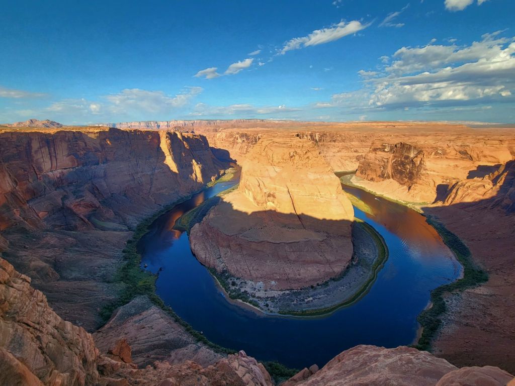
Horseshoe Bend

We decided to visit Horseshoe Bend early this morning. What we didn’t realize is that the sun rises an hour earlier in Page than it did in Moab, so by the time we arrived at the parking lot for Horseshoe Bend, the sun was annoyingly high in the sky.

Oh, well. We will have other opportunities to visit it at better times of the day. We are only 15 minutes away.

This was the best photo I could get, considering the position of the sun.

Glen Canyon Dam

Next up was a stop at Glen Canyon Dam.

Once again, the government shutdown interfered with our plans. The Carl Hayden Visitor Center was closed.

However, we were able to access the overlook behind the visitor center. We were not able to walk across the dam, which I had been hoping we could do.

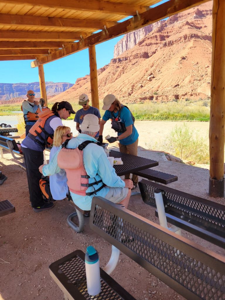
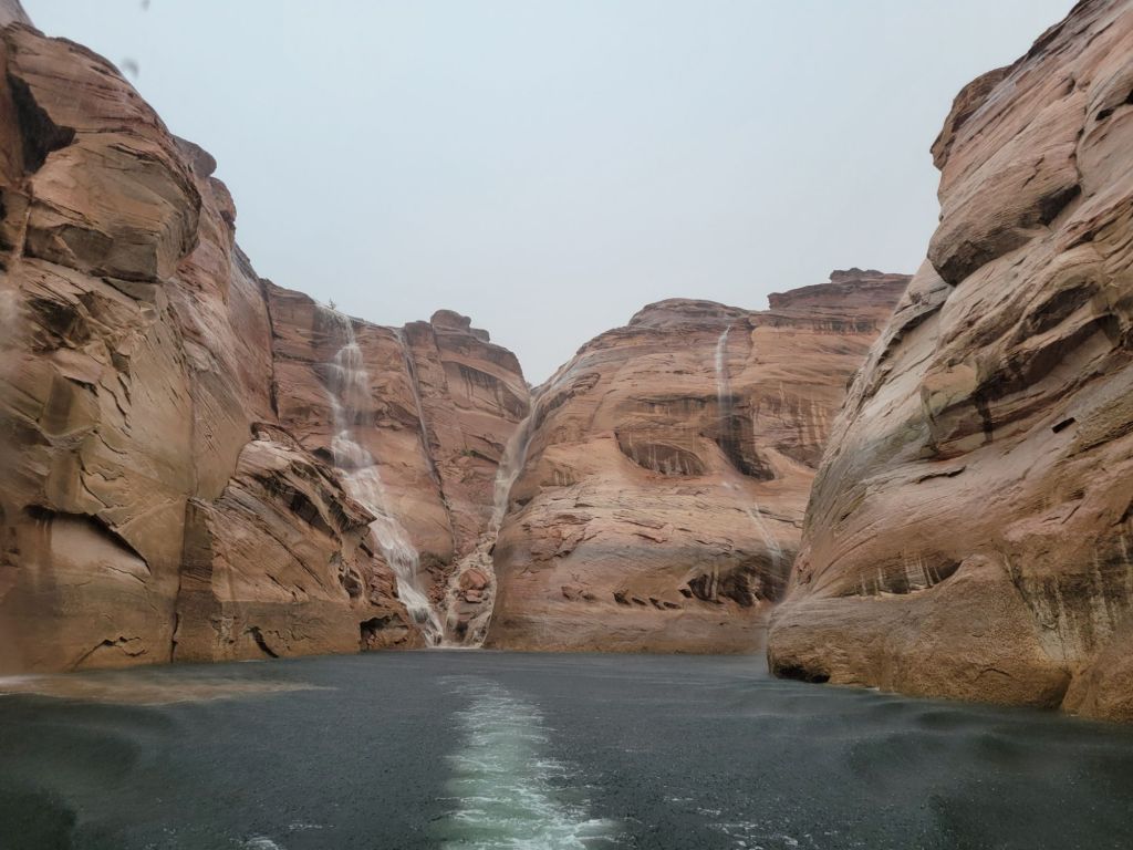
Antelope Canyon boat tour

Today was the last hot day we will have in Page, so I was eager to get on the water and experience Lake Powell.

The marina where we are staying offers boat tours, so after visiting Glen Canyon Dam, we headed over there to book one for the afternoon.

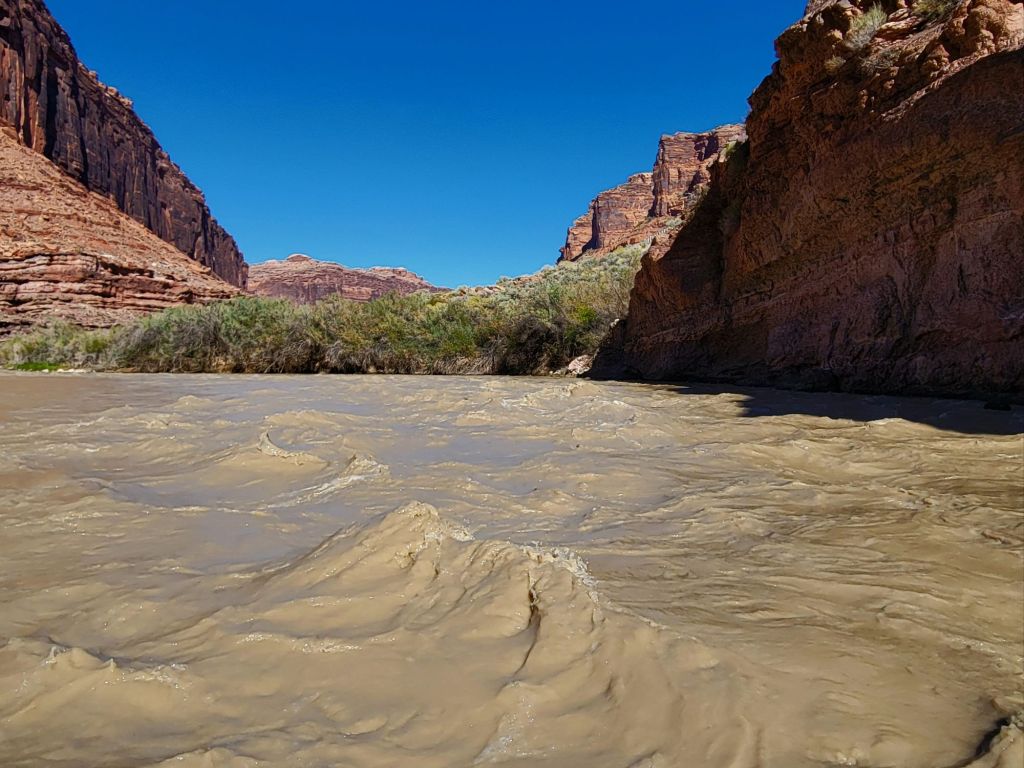
We had been told by someone who lives in Page that the storm was due to arrive around 5:00 p.m., so we figured we would be safe as long as we got our boat tour in before then.

Wrong!

No sooner had the boat left the dock than the heavens opened up.

Lightning flashed. Thunder cracked. We were hit by a deluge of rain.

I was sure the tour boat captain would immediately turn around and head back to the dock, but all she did was advise us not to touch the metal railings on the boat.

It turned out to be a great tour, despite the fact that our tour guide wasn’t able to deliver her spiel because the sound of the rain hitting the metal roof of the boat was too loud.

Look at those waterfalls! They are solely due to the amount of rain that was falling.

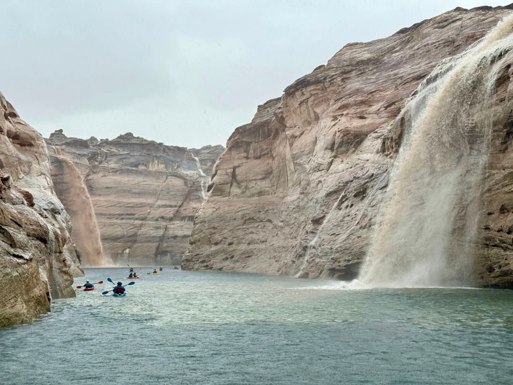
When we got back to the marina, we had to wait about half an hour for maintenance workers to clear the rocks and debris off the road from the flooding before we were able to head back to the parking lot.

I feel like we made the most of the day, in spite of the impediments put in our way.

Canyonlands National Park

Mesa Arch

This morning I hauled myself out of bed at 5:00 a.m. so that we could drive to Canyonlands National Park to see the sun rise through Mesa Arch.

Our first clue that this plan might go awry was the packed parking lot when we arrived. After walking the short trail to the arch, this is what greeted us:

To say that I was disappointed would be a vast understatement.

Not only was the arch crowded with people, but they were all simply standing in front of the arch chatting with one another.

There was no way to get close to the arch, much less take a photo. And no one showed the slightest inclination to step aside for those of us who might like a photo without strangers in it. I confess that I may have experienced a significant degree of rage.

One guy had a tripod set up in front of the arch, taking a video of the sun rising. It was impossible to get a photo without having that tripod in the frame. I was so tempted to give it a little push right into the canyon! 🤬

I was also tempted to stand behind them with my cell phone at the ready and shout, “Smile for the camera! I want a record of all the assholes here this morning!”

I didn’t do any of those things, of course. Instead, Greg and I slunk away and headed to Grand View Overlook to see what that might offer.

This photo was taken from an overlook on our way to Grand View.

I won’t lie. I will be very happy when we are done with canyons on this trip. I am tired of seeing Greg teetering on the edge of cliffs, praying that he won’t lose his balance or trip and fall in.

I’m not really worried about falling in, myself, since I never get close enough to the edge. But my fear of heights is always triggered, nevertheless.

Grand View Overlook

We decided not to walk the trail at Grand View. The position of the sun made it difficult to see into the canyon.

I wish park maps would tell you whether an overlook was east facing or west facing. It would be really helpful!

Mesa Arch–second attempt

After Grand View, we headed back to Mesa Arch to see whether the crowd had thinned now that the sun had fully risen.

Yay! I was finally able to get my shot of the arch. And to be honest, I don’t think it would have been much better if I had been able to take it at sunrise.

Lesson learned.

I did get at least one pretty photo at sunrise, though…

Dead Horse Point State Park

On the way back to the campground, we stopped at Dead Horse Point State Park.

This state park is a hidden gem, and I wish that we had visited it earlier so that we could have taken better advantage of everything it had to offer.

As it was, all we really did was drive to the end of the park road and take some photos of the canyon.

View of the Green River

Arches National Park

The Windows

We were up early again this morning to see if we could catch sunrise on some of the arches in the Windows section of the park.

We were shocked to discover the parking lot nearly full at that hour of the morning. Dang! I had really hoped to get some pictures of the arches without a thousand people standing underneath them.

Oh, well. With a little effort, we managed to get creative with our photo taking.

That is Greg, standing on the ground waiting for me to quit fooling around.

Park Avenue

Next, we hiked the Park Avenue trail. Maybe we were spoiled from hiking at Bryce Canyon (or maybe we were simply in too much pain from all the hiking we’ve been doing), but neither of us found the views along the trail particularly breathtaking.

I’m calling this formation “The Nuns,” because it reminds me of a group of nuns milling about.

We didn’t go all the way to the Park Avenue Overlook, which we realized later that evening probably would have been a good idea.

Sunset at Arches

We spent the afternoon napping, doing laundry, and shopping for hair cutting supplies. (We both desperately need haircuts, and we haven’t been able to find anything like a Hair Cuttery.)

After dinner, we headed back to Arches National Park to see if we could catch the sunset.

Our first stop was Park Avenue Overlook. This overlook was so much better than the trail!

Our next delightful surprise was the view of the La Sal Mountains as the sun was setting.

And shortly thereafter, the full moon made an appearance.

All in all, it was a good day.

Colorado River rafting trip

Today was a relatively quiet day. We took our time getting ready this morning. So nice!

At noon, our tour guides picked us up at the campground for a 3-hour rafting trip down the Colorado River that included lunch.

Our tour guides serve up Chicken Caesar Salad in tortillas wraps shaped like ice cream cones.

Unlike the Snake River, the Colorado River was very muddy. One of the other tourists said it was like floating on chocolate milk. I would have described it more as café au lait.

And I can’t say the scenery was especially thrilling, but it was still nice.

Canyonlands National Park

We woke up to rain this morning, but that did not deter us. We headed off to Canyonlands National Park at 7:15.

Again, the entrance gate to the park was unmanned, but the visitor center was open. We grabbed a map and trail guide, then headed to our first destination.

Upheaval Dome

In an effort not to overtax ourselves, we’ve been trying to keep any individual hike to 3 miles or less. Upheaval Dome was 1.4 miles.

What we did not count on today were the gale force winds. OMG! I’m not sure I’ve ever experienced wind as strong as what was blowing today.

And unfortunately, nearly everything in Canyonlands National Park involves standing on the edge of a canyon. The wind added a dimension of risk that I did not enjoy. There were times when I struggled just to stay on my feet.

What you can’t tell from this photo is how hard I was holding on to Greg.

Upheaval Dome is believed to have been created by a giant meteorite.

After our experience with the wind at Upheaval Dome, we decided to forgo any more hikes, since they were likely to involve fighting against the wind while balancing on slickrock at dizzying heights.

Instead, we chose to continue our drive along the main road leading through Canyonlands National Park, stopping at overlooks along the way.

Even the overlooks often involved teetering on the edge of a canyon.
Green River Overlook

Arches National Park

Greg decided to drive Route 24 from Capitol Reef National Park to our campground near Arches National Park. The scenery along Route 24 was varied, to say the least.

When we arrived at the campground, we were dismayed to discover that our site had no sewer. Since we are going to be here a week, that presented a challenge.

Luckily, the shower facility is top notch, and we appear to be the only ones using it. Also, there are lots of restaurants in Moab. I teased Greg that this would be a great excuse for not cooking!

Devil’s Garden

We headed off early the next morning to explore Arches. Because of the government shutdown, the entrance gate was unmanned and our timed entry ticket was not needed. But to our surprise, the Visitor’s Center was open.

We picked up a map of the park and a trail guide, then headed to the furthest spot along the scenic drive, assuming that the horde of other tourists would not have made their way there yet.

That section of the park is called Devil’s Garden, and it includes Skyline Arch, Tunnel Arch, Pine Tree Arch, and Landscape Arch (there are others, but those are the ones we saw).

Pine Tree Arch
Landscape Arch

By the time we finished our hike to see those arches, it was getting hot, and the sun was blistering. Greg lost interest in any more hiking. (Those of you who know him know how he feels about being hot!)

We decided to make our way down the scenic drive and stop at interesting-looking overlooks.

Skyline Arch
Heading toward Sand Dune Arch. A family had set up lawn chairs and sand toys for their little ones right in front of the arch, so I was unable to get a good photo of the arch without someone else’s kids in it. Grrr!

I won’t post photos of everything we saw, but suffice it to say that we still have a lot to see at Arches!

Garden of Eden
The drive into Arches National Park is probably my favorite part of the park so far.

On our way back to the campground, we made a detour to the emergency room so that Greg could get his hand checked out. Thanks to Patrick and our need to get Tdap shots after he was born, Greg was already protected from tetanus.

Tomorrow we will check out Canyonlands National Park.

Grand Wash Trail

In an effort to take it a bit easier today, Greg and I headed down Route 24 to hike the Grand Wash Trail, a flat and fairly short hike through a dry stream bed and canyon.

The views along Route 24 were beautiful in the early morning sunlight.

The hike itself didn’t get off to the best start.

As Greg was trying to descend a slight slope into the stream bed, he slipped on the sand, fell, and ripped open his hand on a piece of wire.

So we headed back to the car to patch him up before continuing on.

The trail was delightful, though.

See the tiny people in this photo?

Petroglyph Panels

After our hike, we headed down Route 24 to an area where Native Americans had carved petroglyphs into the rock walls.

There was another tourist there who had an incredible ability to spot the petroglyphs, despite how small and faded they were. If not for him, I suspect I would have missed seeing about 80% of them.

Fruita Schoolhouse

Next, we drove a short distance to the Fruita Schoolhouse. Unfortunately, it was locked, so we were only able to get photos from the outside and looking through the windows.

This is where the small Mormon community of 10 families that lived in Fruita schooled their children and held community events.

Photo taken through the window
Behind the schoolhouse is this rock. Someone carved “Fruita Grade School” into it, and generations of children carved their names into it as well.

After stopping by the schoolhouse, Greg and I headed back to the campground, where we enjoyed a very relaxing afternoon and evening doing absolutely nothing. (Well, except for grilling beef tenderloin for dinner. Yum!)

Cohab Canyon Trail

Capitol Reef National Park

This is the first time Greg and I have hiked a trail where I have found myself saying, “Nancy, you are an absolute idiot for doing this.”

It wasn’t because the trail was particularly difficult. It wasn’t.

I was simply feeling tired and shaky. The beginning of the hike involved climbing 440 feet up a mountain, and there were times when I paused on the trail and tried not to let dizziness overcome me.

Partway up the mountain

That said, once the hard part was over, we had a great time wandering through the canyon.

Through the canyon and heading toward the last 300-ft climb to the overlooks
View from North Overlook
View from South Overlook
Greg, enjoying the view
The  view from the other direction
Heading back down the mountain

After we finished the hike, we stopped by the Gifford House and purchased one of their famous pies (we bought cherry).

Scenic Drive

Next, we hopped in the car and drove the 8-mile scenic drive.

Capitol Gorge Road

At the end of the Scenic Drive is a gravel road called Capitol Gorge Road. Thankfully, it is only about a mile long because it is narrow with blind corners and rock walls — not Greg’s cup of tea.

Capitol Gorge Trail

At the end of Capitol Gorge Road is Capitol Gorge Trail. This is an easy and fun hike through a slot canyon.

Along the trail, Native Americans carved petroglyphs into the canyon walls.

And pioneers carved their names into the canyon walls as they passed through.

The Pioneer Registry
There is a list of names about halfway up the rock wall. Who knows how they managed it!
It’s hard to get a sense of how tall those rock walls are without people in the photo to add perspective.

I took a few more photos of the scenery on the way back to the campground.

The Mossy Cave Trail

We did not set our alarms last night because the weather forecast predicted a greater than 50% chance of rain until 11:00 a.m. this morning.

The weather forecast was wrong.

When we woke up, the chance of rain had dropped dramatically, so we got ourselves together and headed to the Mossy Cave Trail, which is a short trail just outside Bryce Canyon National Park. It leads to an unspectacular small cave and a quite lovely waterfall.

Navajo Loop Trail and Wall Street

I finally got my wish to do Wall Street.

Greg had decided that he should not do any more hiking, but he agreed to drive me over to Sunset Point so that I could hike the Navajo Loop Trail and Wall Street.

On the way, he told me that if he could find a parking place, he would join me on the hike. Yay!

Miraculously, we found a parking spot, so off we went!

It was SO. MUCH. FUN.

Starting off on the Navajo Trail
Working our way down…
…and down…
…and down
Those suckers are tall!
Walking through the hoodoos
Working our way back up
Taking a break to admire the view
Thor’s Hammer
Almost there!

We made it!

After our hike, we headed over to Bryce Lodge to check it out. There was a pizza restaurant there called Valhalla Pizzaria, and we couldn’t resist treating ourselves to pizza for lunch.

Tomorrow we head to Capitol Reef National Park.

Bryce Point

We made a spur of the moment decision this morning to stop by Bryce Point before heading to our next destination, Willis Creek Slot Canyon.

No wonder the parking lot was full yesterday. This overlook provides an amazing view of the Bryce Canyon Amphitheater!

We got there a little late. The sun was already up. And to make matters even more annoying, a group of folks who must have been on a photography tour had set up their tripods all around the overlook. Despite that, I got one or two photos that pleased me.

After Bryce Point, we stopped at Upper and Lower Inspiration points to take a few more photos.

Willis Creek Slot Canyon

Okay. I recognize that no other slot canyon can compare to Antelope Canyon in Arizona, but since I haven’t been there yet, forgive me for saying that Willis Creek Slot Canyon is awesome.

To get there, though, was no easy feat. It involved a seven-mile drive down a teeth-jarring BLM dirt road with a washboard surface, sharp turns, and steep inclines. Greg handled it like a champ. (There may have been moments when I shrieked.)

We also encountered a cow in the middle of the road at one point.

I had hoped that since we got there early, and since it was not an easy place to get to, we would be the only ones there. No such luck. Despite that, there were many times as we were walking that we were completely alone.

Another couple who were hiking the slot canyon showed us how to take vertical panorama shots, which give a much better sense of how tall things are. Some of these photos were taken using that method, and some were not, which explains why some of the walls look taller than others. Plus, there were about four slot canyons in all on the hike, each a little different than the one before.
This was a tiny little waterfall in one of the crevices of the canyon wall.

At one point a hummingbird flew in front of Greg. It paused about a foot in front of his face and looked him over before flying away. I was standing right behind him and got a really good view of the hummingbird. It was so cute!

Scenic Byway 12

Next, we decided to drive down Scenic Byway 12 to Devil’s Garden. Along the way, we encountered beautiful views and hail.

Devil’s Garden

Devil’s Garden is a small area of hoodoos out in the middle of nowhere.

To get to Devil’s Garden, we had to drive 12 miles down another BLM dirt road. When Greg realized that, he almost turned around to head back to Bryce Canyon, but it had taken us an hour and a half to get there, and I didn’t want to leave without seeing what we had come to see.

By the time we finished driving that 12 miles, Greg’s good mood was gone.

On top of that, thunderstorms were looming. After 10 minutes of wandering through the hoodoos, Greg decided it was time to head back. He didn’t want to be stuck on that dirt road during a downpour. I didn’t blame him.

I would have loved to have spent a little more time wandering through the hoodoos, though. It was fun!

And just to prove that there were indeed thunderstorms…

On the way back, we got to see a different angle of the hoodoos in Bryce Canyon National Park.