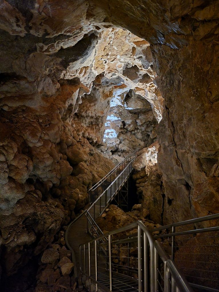
On Friday, we drove the 2 hours back, past our campground, and continued on to Jewel Cave. We took the cave Scenic Tour.
Since I doubt any of my readers are as obsessed with caves as I am, I will try to keep this short.
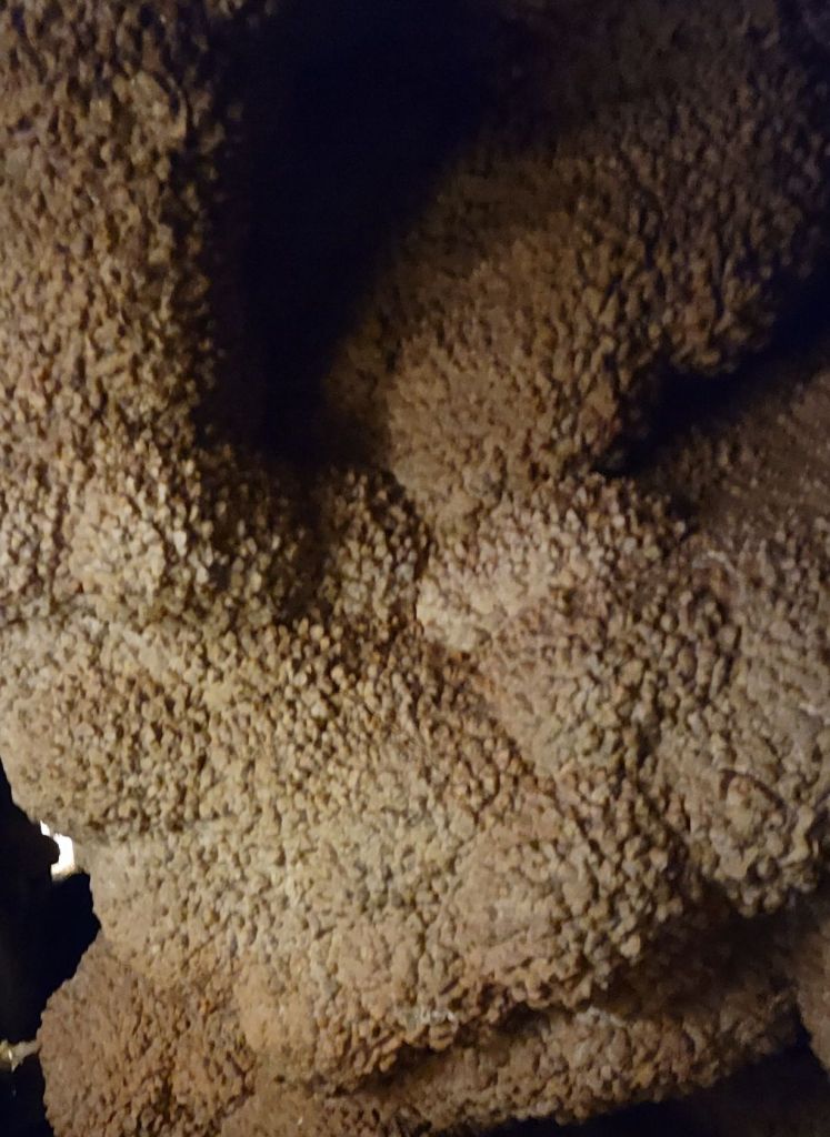
This cavern got its name from the calcite crystals covering its walls.
Most of the crystals aren’t as sparkly and pristine as the ones in the picture above, though. Most are covered in a dirty crust, so they look like this:
Not nearly as glamorous as the name “Jewel” Cave implies!
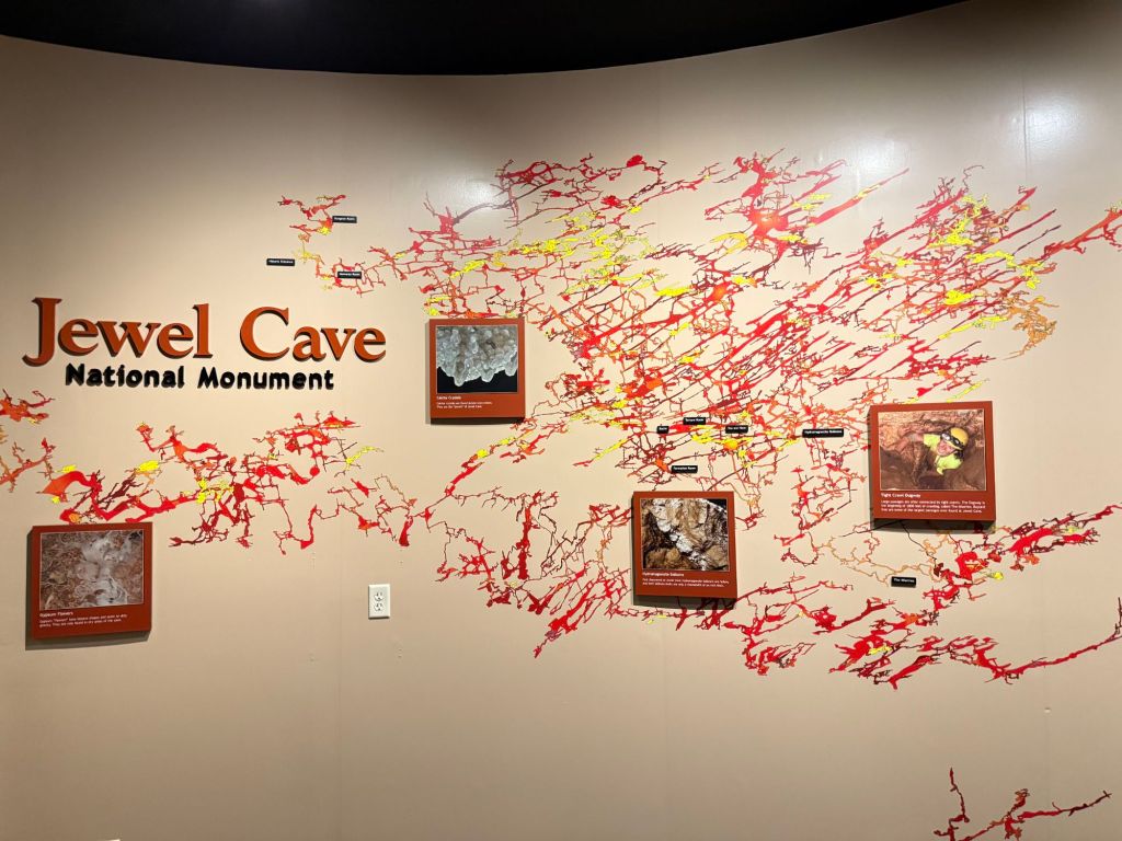
Jewel Cave is a “breathing cave.” The air inside changes pressure as the pressure outside changes, creating a breeze through the cave.
So far, volunteers have mapped 253 miles of Jewel Cave. Based on the pressure changes within the cave, scientists believe that only about 3% of the cave has been mapped so far.
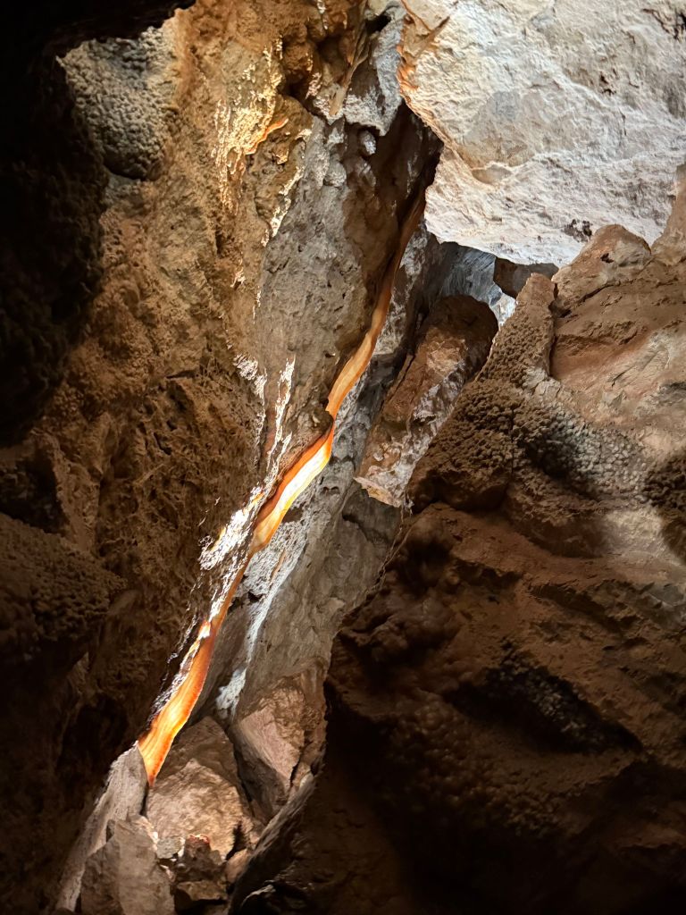
We saw lots of different cave formations in Jewel Cave, but my favorite was probably the cave bacon:
It really looked like bacon!
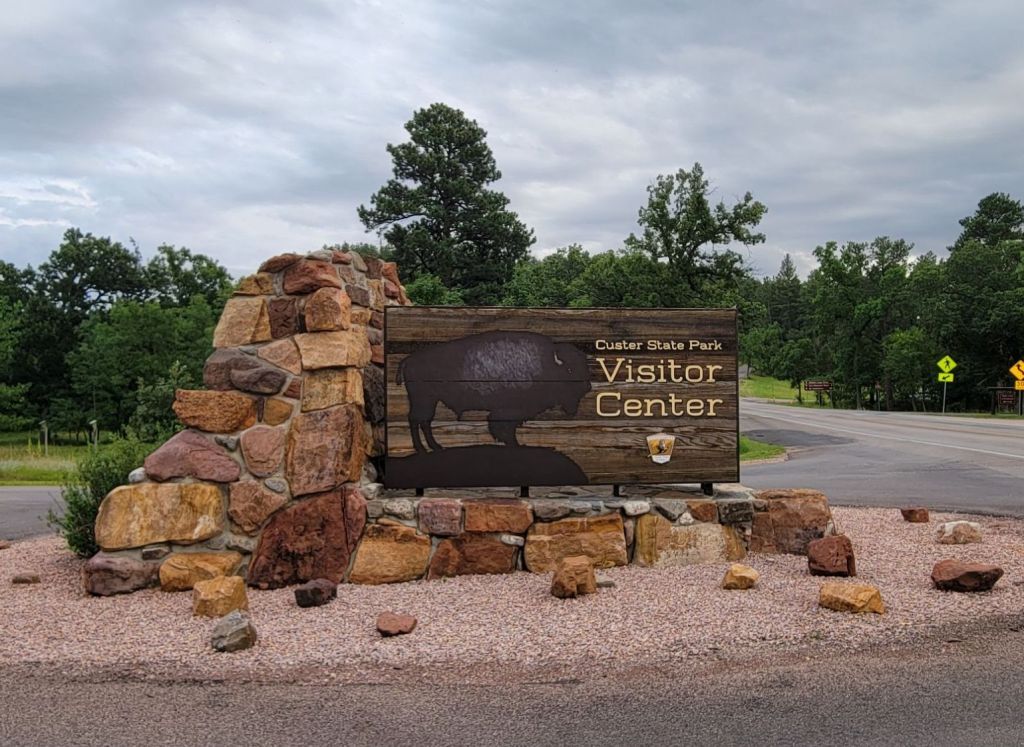
Custer State Park — Wildlife Loop
After our tour of Jewel Cave, we headed back to the campground. I was so tired that I took a nice, long nap.
Then we headed over to Custer State Park to see if we could pick up a park pass. On impulse, we decided to do the Wildlife Loop.
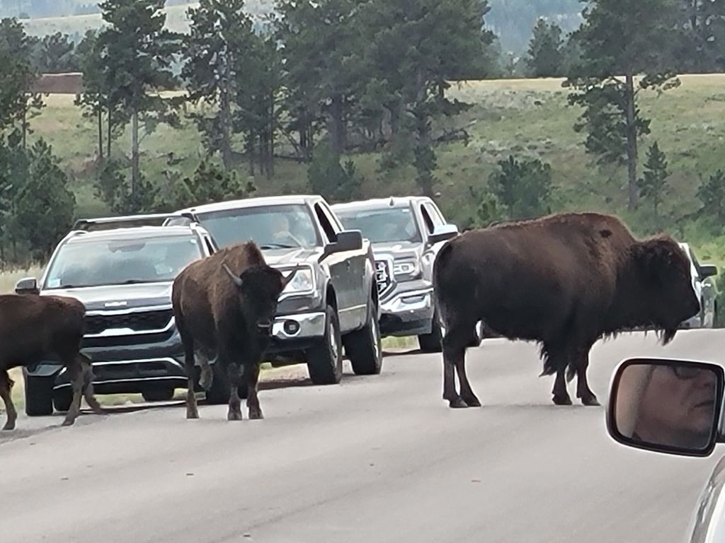
Shortly after starting along the loop, we came upon this scene:
I was a little freaked out, I’m not gonna lie. And it didn’t help when Greg GOT OUT OF THE CAR to take a picture. I yelled and told him he was an idiot.
Later, we got to see some pronghorn.
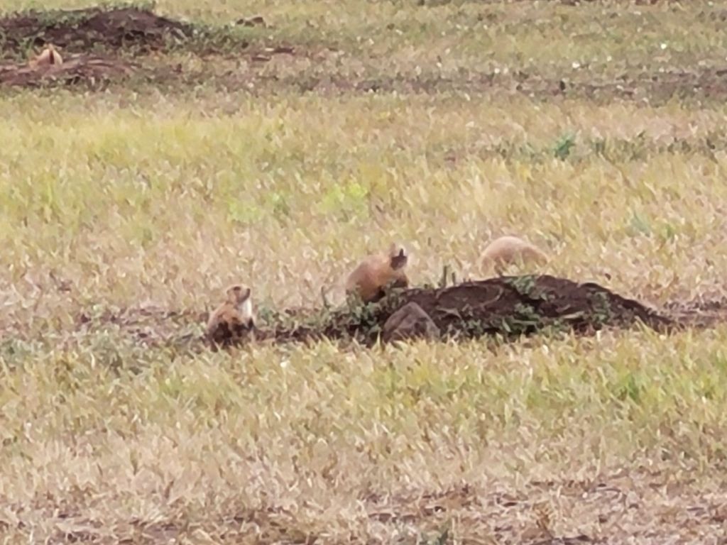
And LOTS of prairie dogs.
Prairie dogs are tiny! I expected something the size of a groundhog, not a guinea pig.
Greg had really been hoping to see some elk, but it was not to be. However, we did get to see some longhorn steer as we were heading toward Custer.
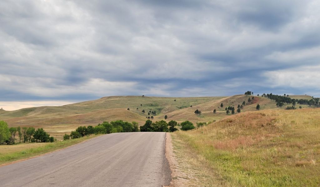
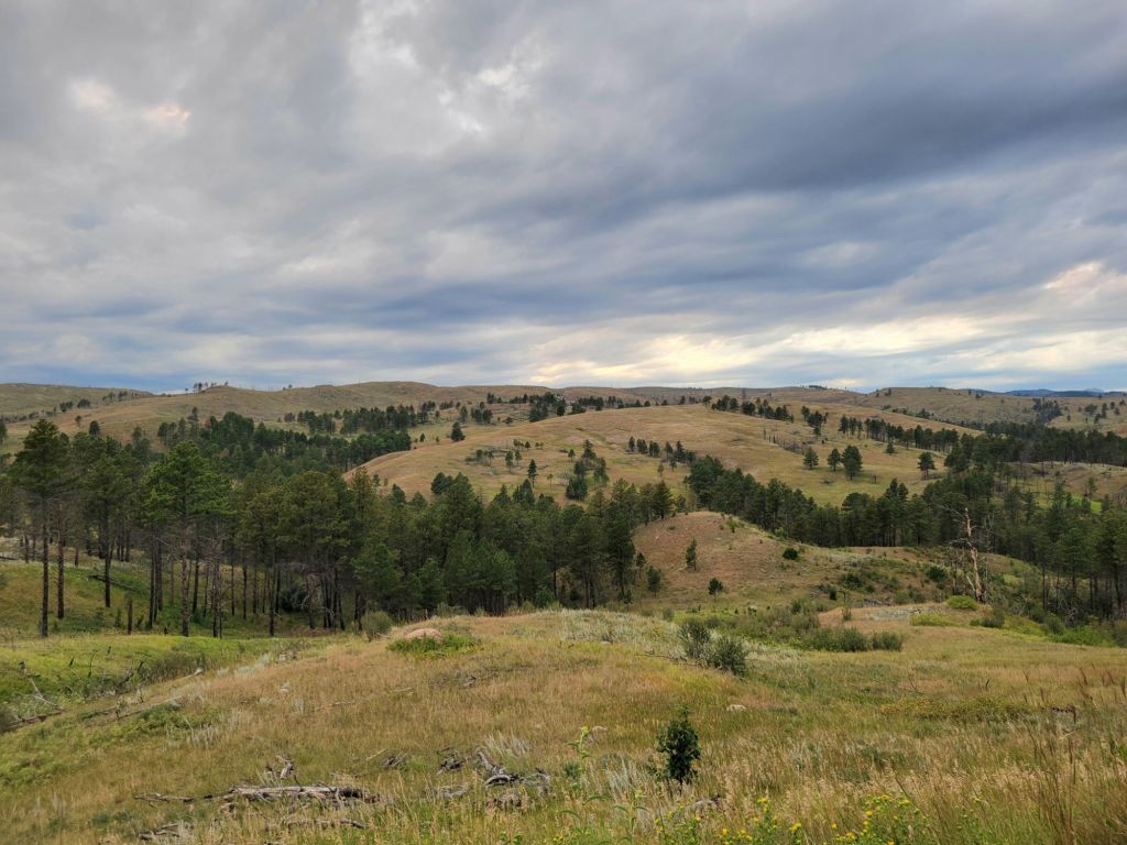
To be honest, I think my favorite part of the drive was the scenery.
The prairie is so beautiful.
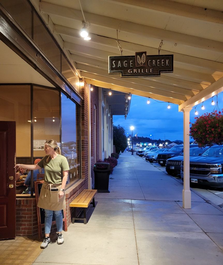
Since it was 7 pm by then, we decided to grab dinner in Custer rather than make dinner at the campground.
The food is good at the Sage Creek Grille (though I liked the ambiance more)
On Thursday, we drove 2 hours back in the direction we had come from the day before. (This part of the trip was not particularly well-planned, I’ll admit.)
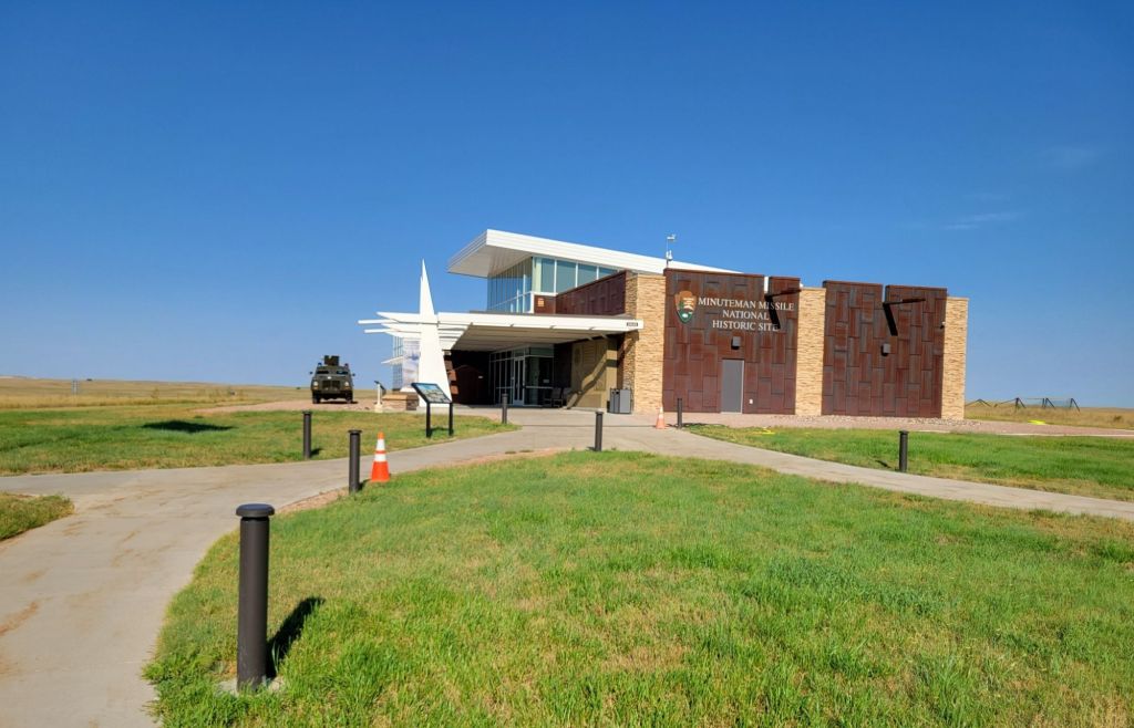
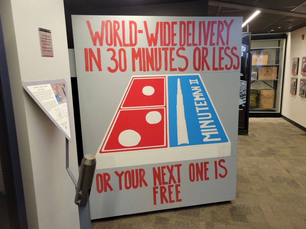
Our first stop was the Minuteman Missile Site.
The Minuteman National Historic Site consists of two Minuteman II nuclear missile facilities that are no longer in operation as well as the visitor’s center. We weren’t able to get tickets for a tour of one of the sites, so we watched an informational video about the Cold War and browsed the exhibits in the visitor’s center.
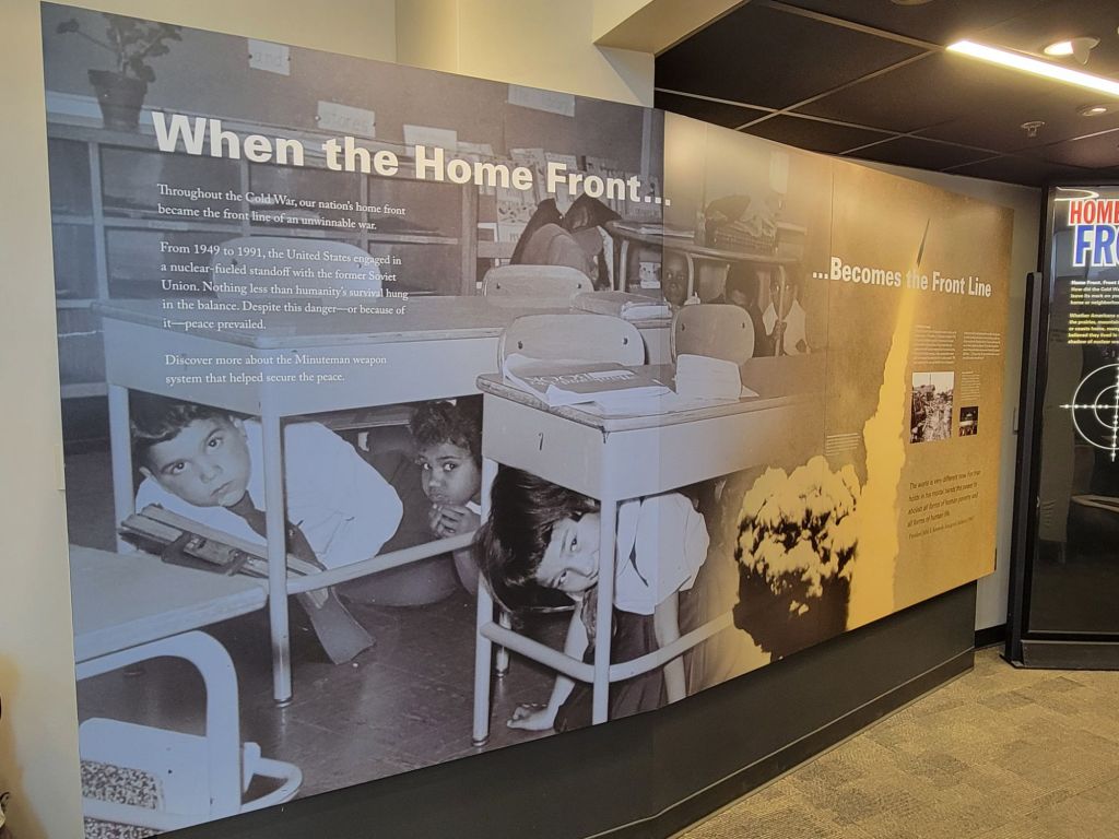
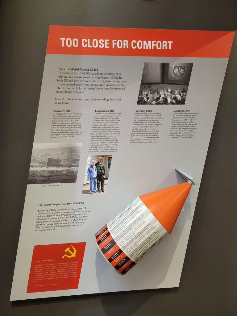
I imagine this photo brings back vivid memories for anyone over the age of 60, including me. I remember nuclear “fire” drills that involved huddling with my classmates against the walls of the hall in my school. As if that would have saved us!Can you imagine being the president and having to decide whether to engage in a nuclear war with less than 30 minutes’ notice?The video and this poster talk about the number of close calls the U.S. and Russia have had over the years due to various mishaps. It’s terrifying to think of how incredibly close we have come to annihilating ourselves — multiple times, no less.
At one time, the U.S. had thousands of nuclear missiles. Now we only have a couple of hundred — still enough to destroy the planet, just not enough to destroy it multiple times over.
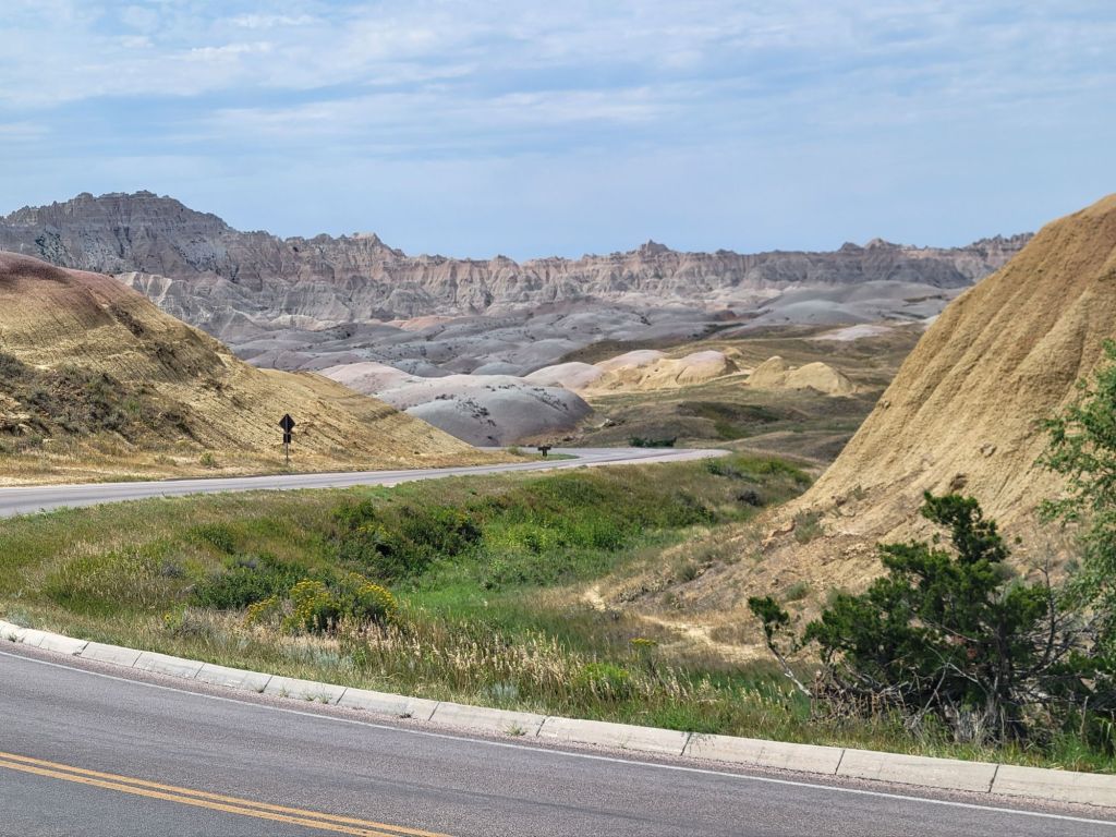
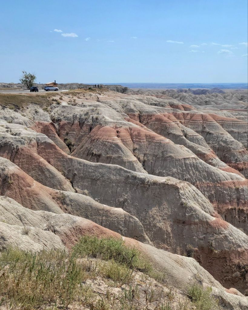
The Badlands
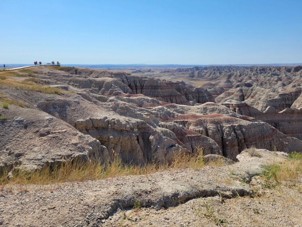
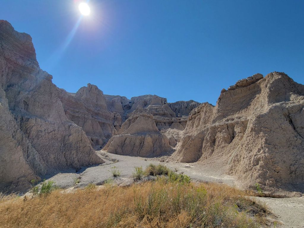
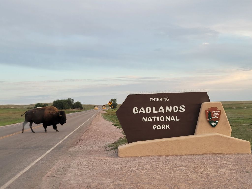
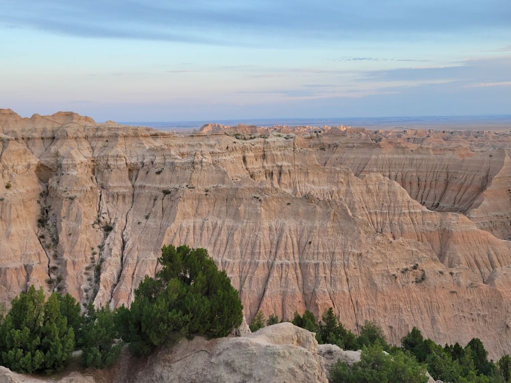
Next, we headed down the road to the Badlands. They were awesome! Unfortunately, the photos will not do them justice.
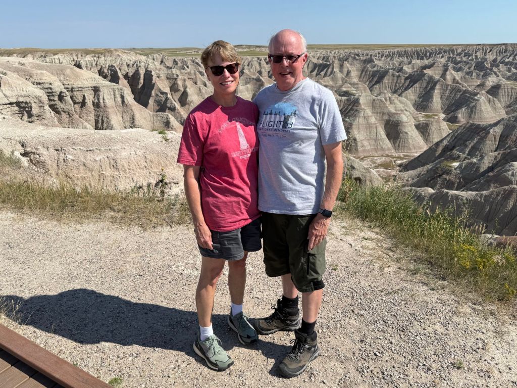
It’s impossible to get a sense of how massive these stone formations are and how deep the ravines go without having people in the photo to compare them to.
Our first order of business was to hike the Notch Trail.
It was freakin’ hot!
We did pretty well, despite the sun and heat (it was 100°)…until we got to the ladder.
As we waited for these folks to carefully make their way down, a crowd began to form at the bottom, waiting to go up.
Neither of us wanted to feel the pressure from a bunch of young whippersnappers to rush up the ladder, so we decided to abandon the rest of the hike.
Some other photos of the Badlands:
Roberts Prairie Dog Town
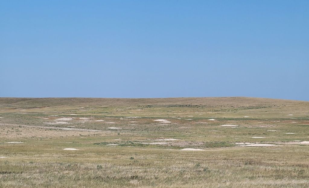
Before finishing our tour of the Badlands, we drove 5 miles down a very bumpy gravel road to Roberts Prairie Dog Town to check out the prairie dogs.
Prairie dogs are prolific little suckers. All those white spots are prairie dog mounds.Nothing like a little plague to add to the adventure!
I would post a picture of some prairie dogs, except that we didn’t get any. We saw them, but they were very far away and we needed binoculars.
Plus, it was so windy that it was impossible to hold the binoculars still enough to actually see what the prairie dogs were doing.
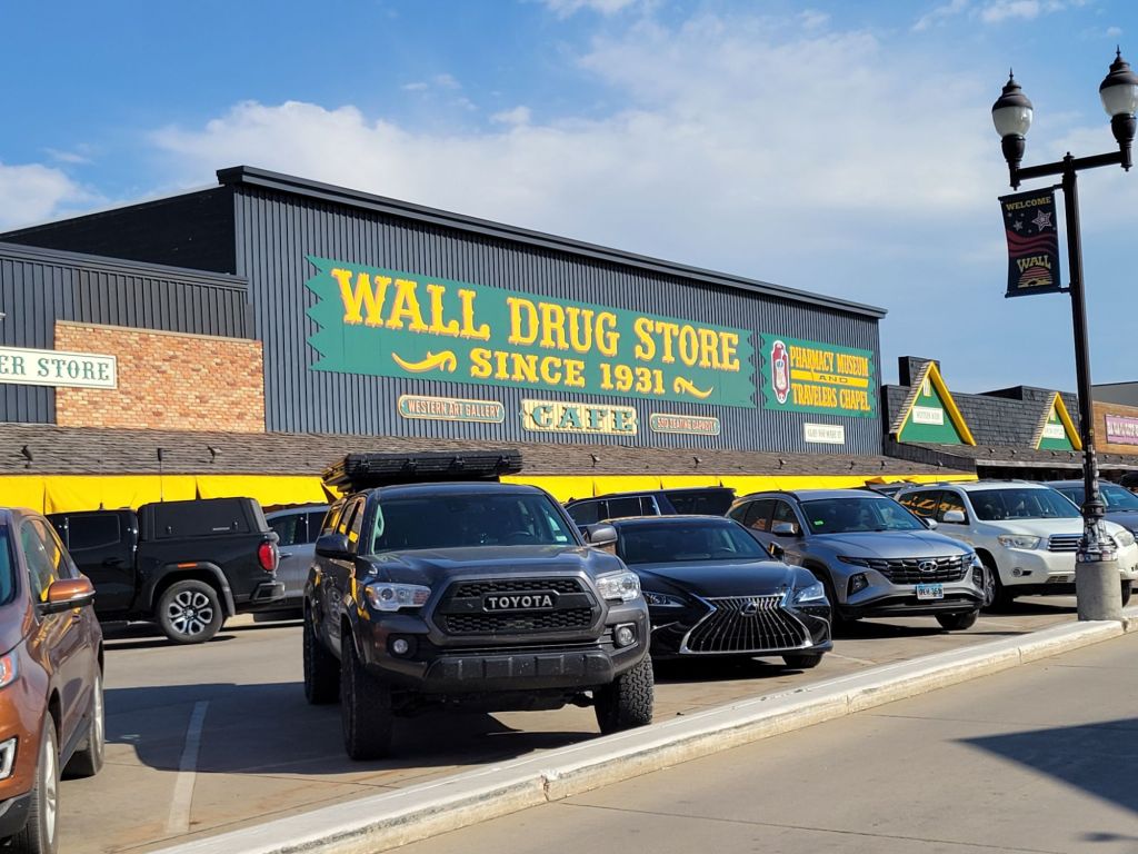
Wall Drug
After the prairie dogs, we headed into the town of Wall to check into our motel.
Then we had dinner at the Badlands Saloon and Grill before heading across the street to check out the famous Wall Drug.
Apparently, this is the must-see attraction in Wall, South Dakota (think South of the Border with an upscale, South Dakotan twist).
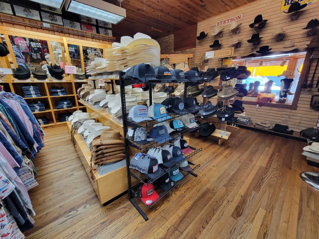
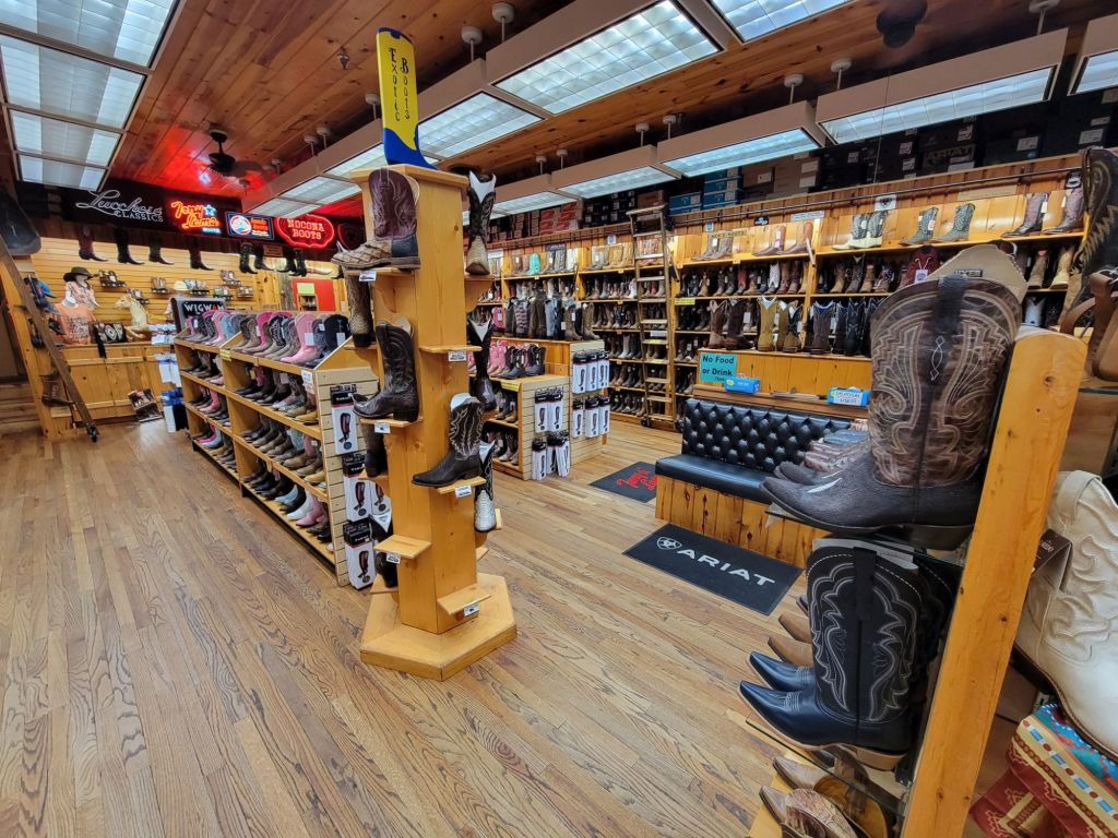
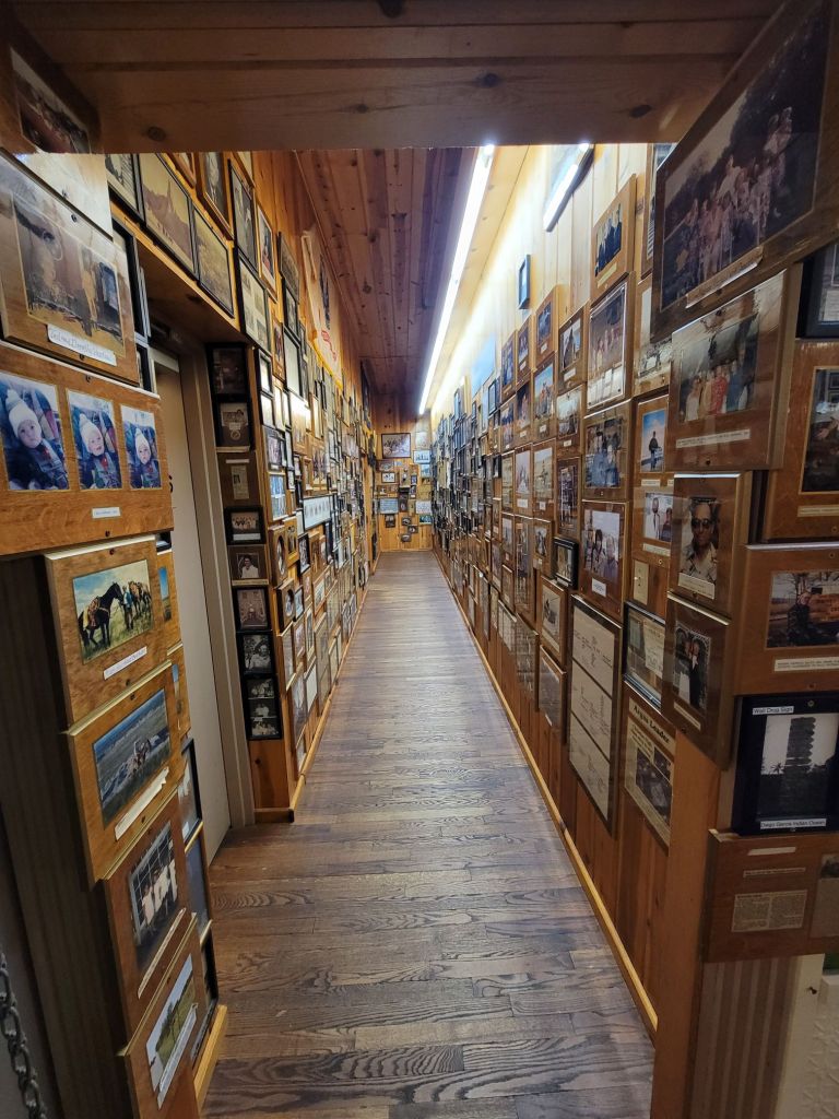
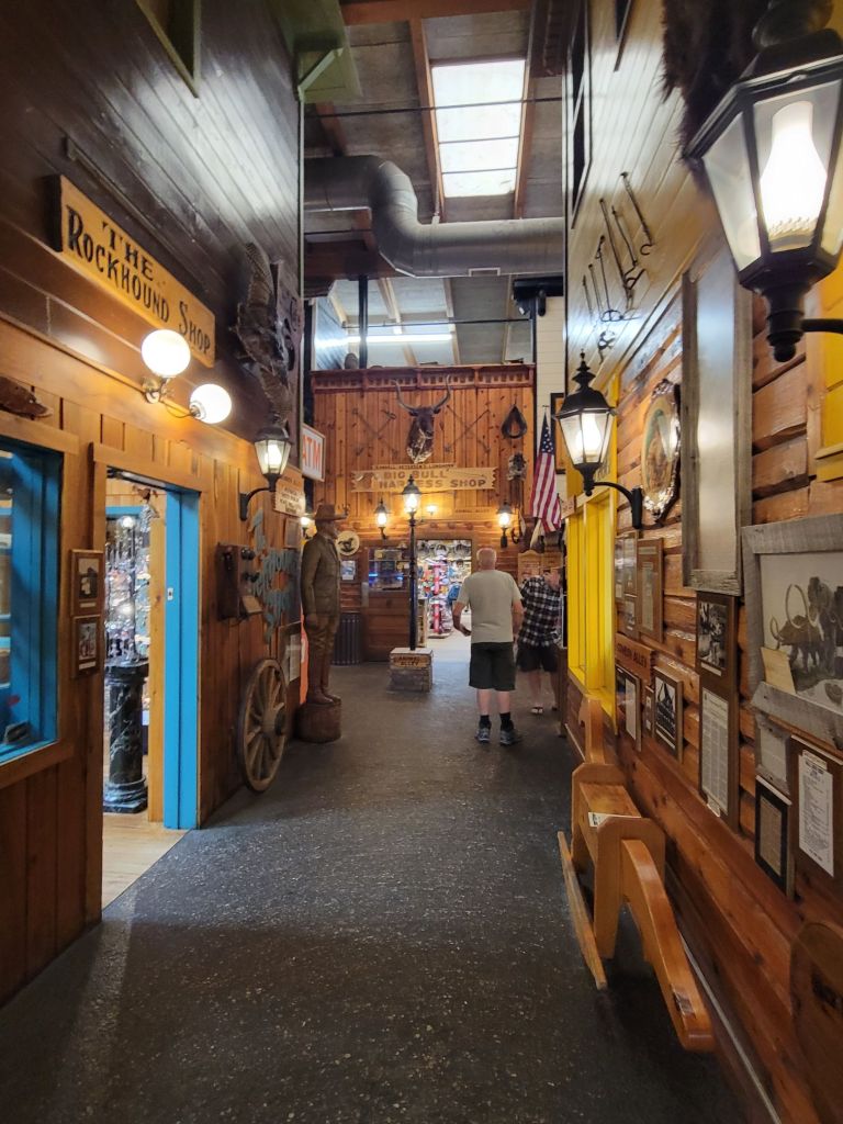
They had hats. Boy, did they have hats!And they had boots. Lots and lots of boots. And walls of photos, for some reason.And Greg, checking it all out.
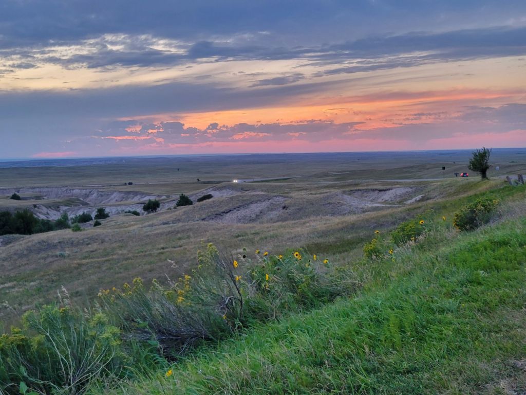
Afterward, we headed back to the Badlands to see if we could catch the sunset. Unfortunately, the clouds were moving in by this time.
But look what we did see on our way into the park!
This was my first experience with a bison up close and relatively personal. But it was certainly not my last.
Although the sunset was a disappointment, I think I got some decent pictures.