Schwabacher Landing

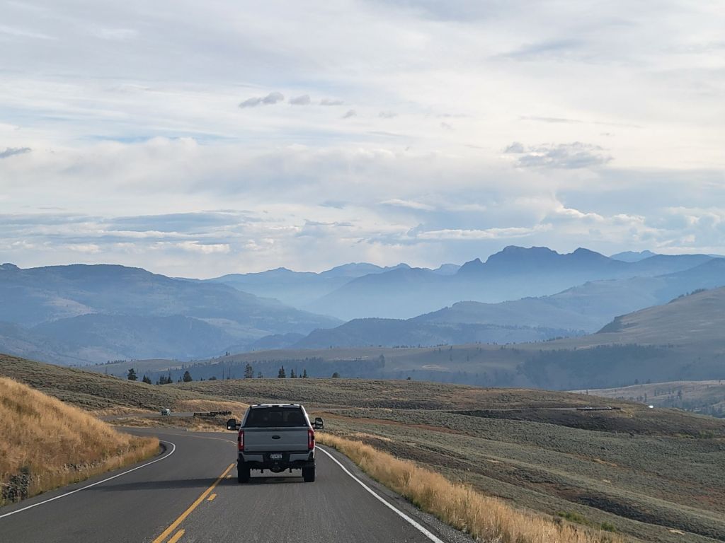
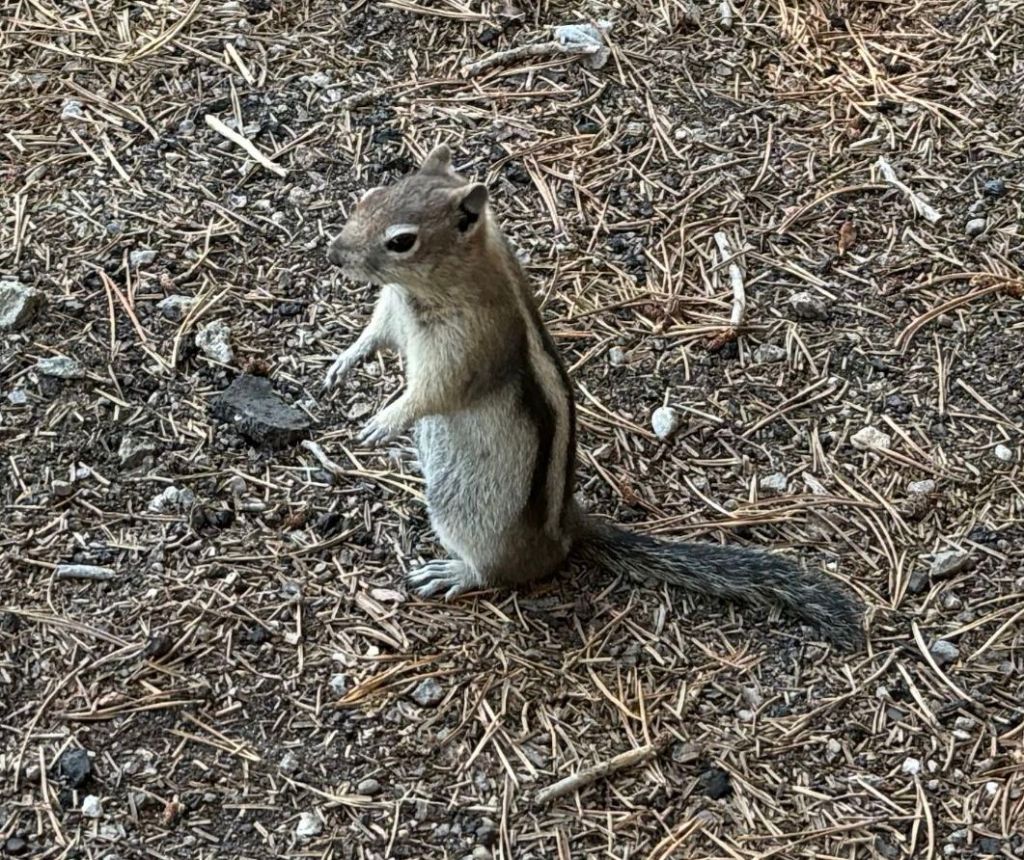
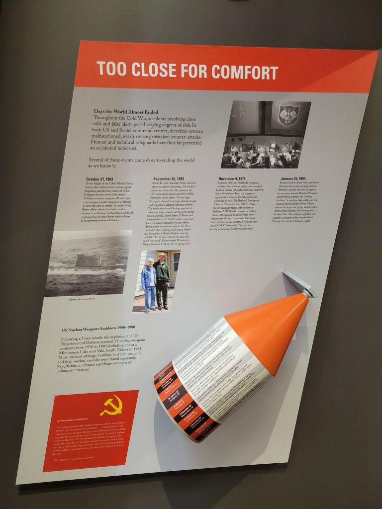
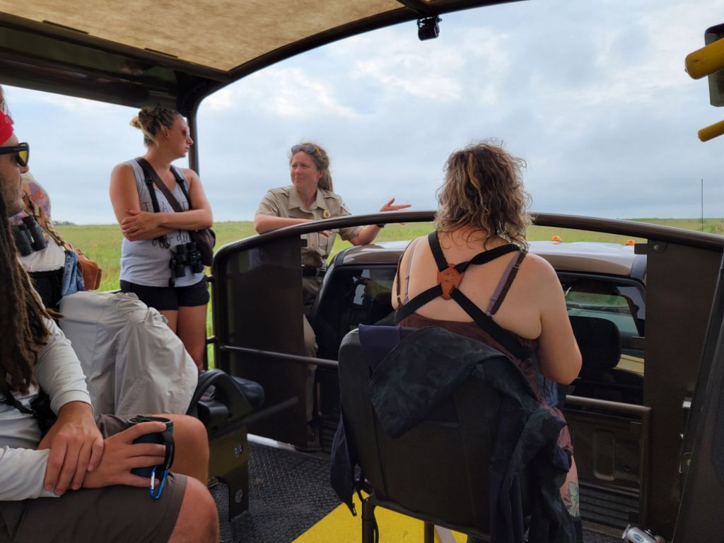
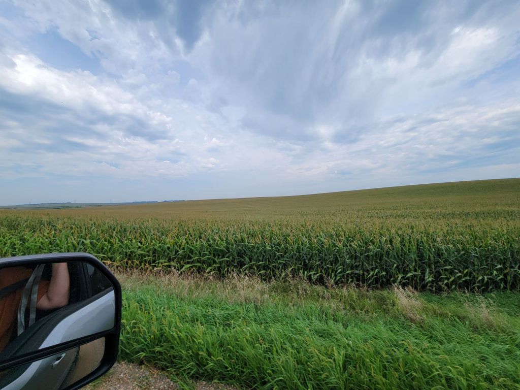
On our way into the park on Wednesday, we encountered another gaggle of cars, which we instantly knew meant there was wildlife to see.

It turned out to be a bull moose, who was feeling trapped by all the tourists. He kept darting one way and then another, trying to find some way past all the people. He finally managed to dash across the street into a field.

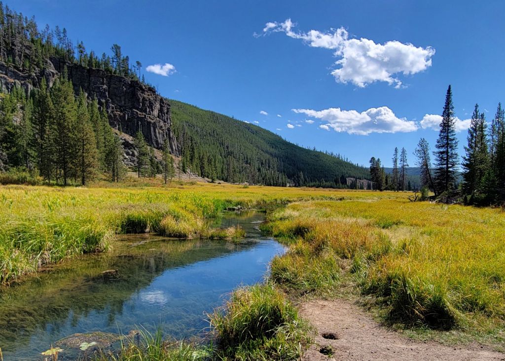
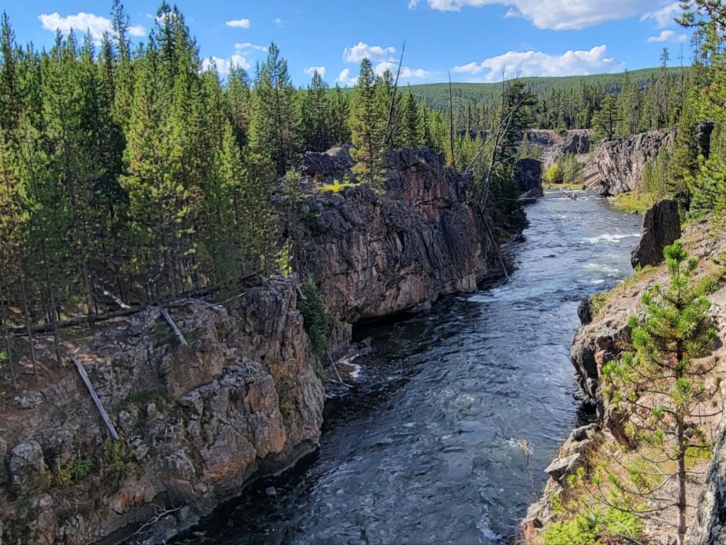
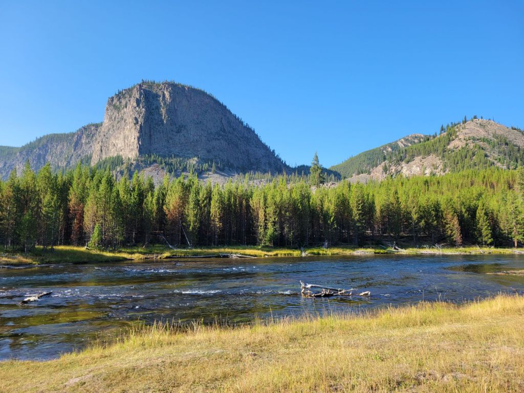
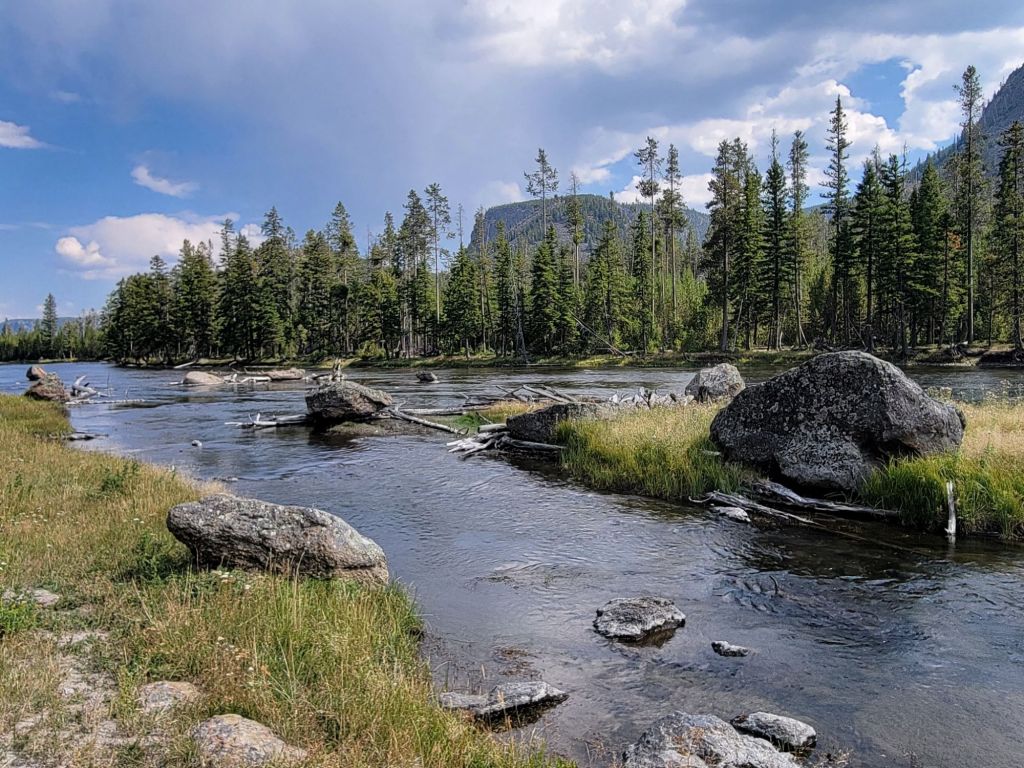
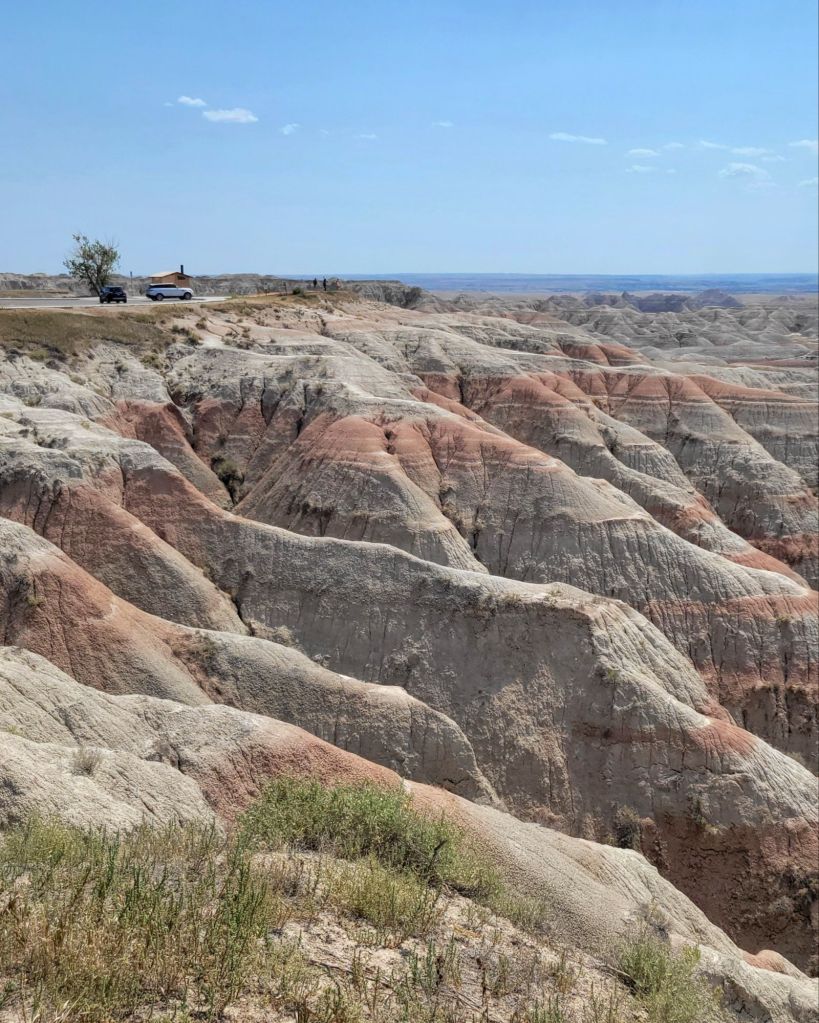
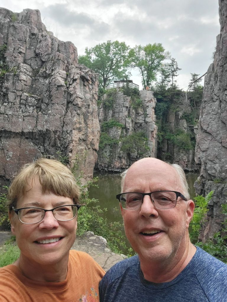
Our first stop of the day was Schwabacher Landing, which is a popular location for taking photographs of the Teton mountains.

Maybe we got there too late in the morning, but I did not like any of the photos I took. The mountains looked like cardboard cutouts, and they were overshadowed by the foreground.
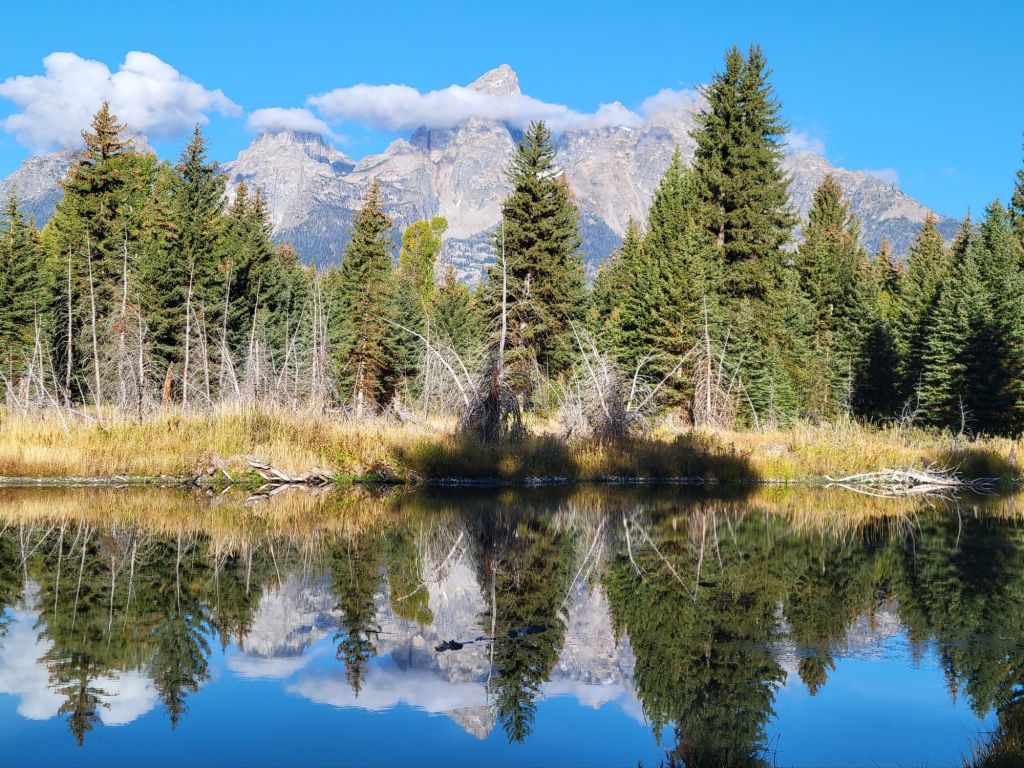
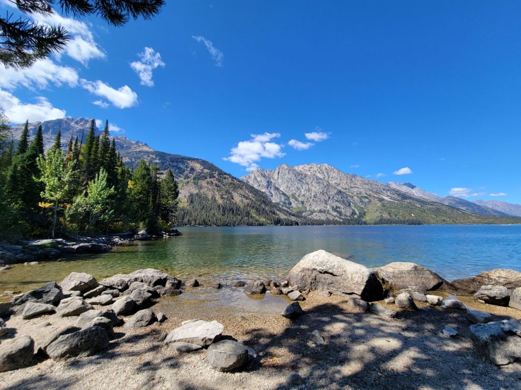
Jenny Lake

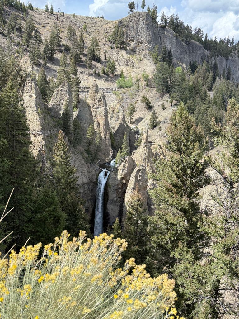
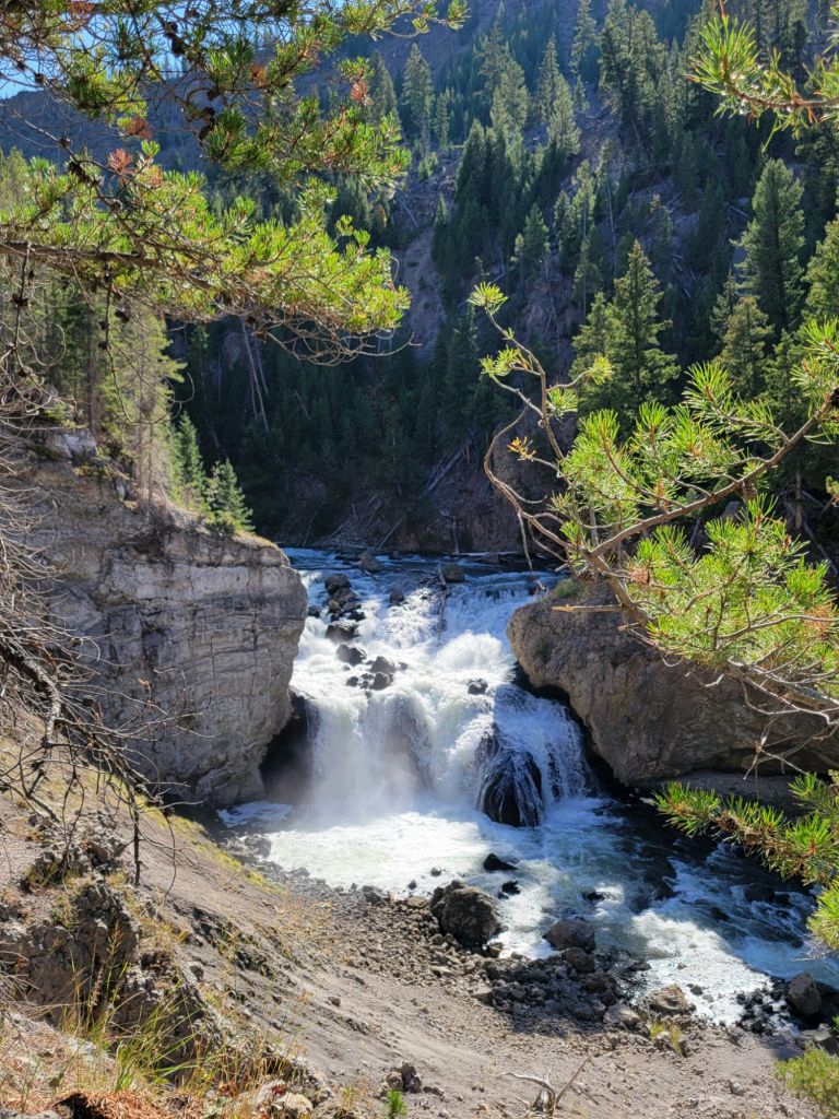
Next, we headed to Jenny Lake. We purchased tickets for the ferry ride across the lake, where we hiked to Hidden Falls.

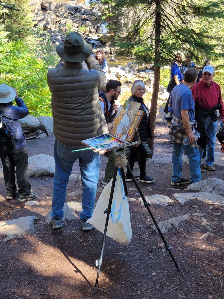
My photos of the falls turned out terribly, but I managed to capture a photo of this artist painting the falls en plein air. He was painting in oils and was quite good. I was kind of jealous, to be honest.

After Hidden Falls, we continued our hike up to Inspiration Point.

Yes, I actually climbed up the side of that rock cliff!

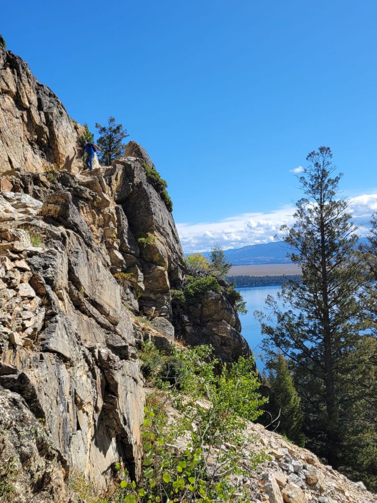
Coming down was another story. At one point, I sat down because I was so terrified. Some gentleman at the bottom offered to come up and assist me, but I managed to complete it by myself. Yay!

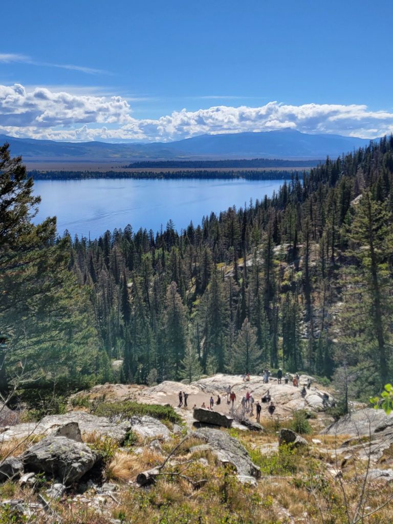
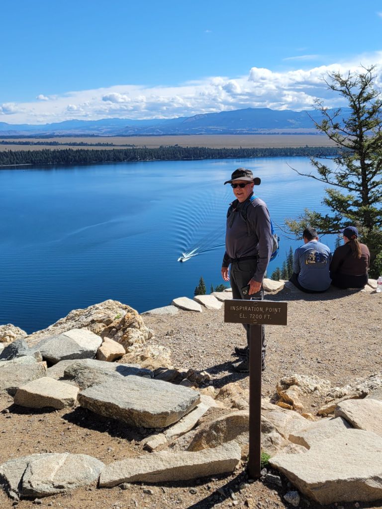
The size of the ferry boat on the lake in the photo below should give you an idea of how high up we were. The sign Greg is standing behind says Inspiration Point el. 7200 ft. 

After climbing down from Inspiration Point, we chose to hike around the lake rather than take the ferry boat back.

Another hiker asked if she could join us on the hike back since she was worried about encountering a bear on her own.

On the hike back to the Jenny Lake visitor center, we got to see another moose. Unfortunately, he was shy and didn’t want to have his picture taken.

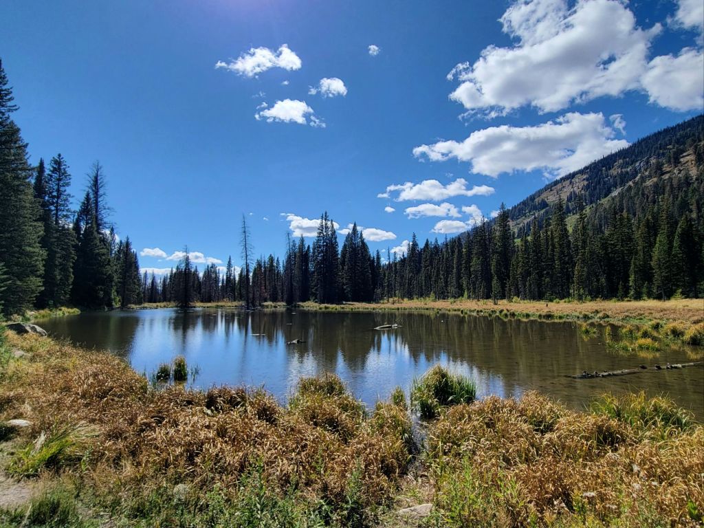
Shortly after that, someone else we encountered on the trail told us that they had seen a moose at Moose Pond, so we took a short detour to check that out.

It was a beautiful day for a hike, but by the time we finally got back to the Jenny Lake visitor center, we were beat. Greg said he was more tired from that hike than he had been from any other hike we’ve ever taken.

Scenic Boat Tour

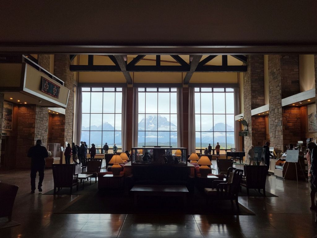
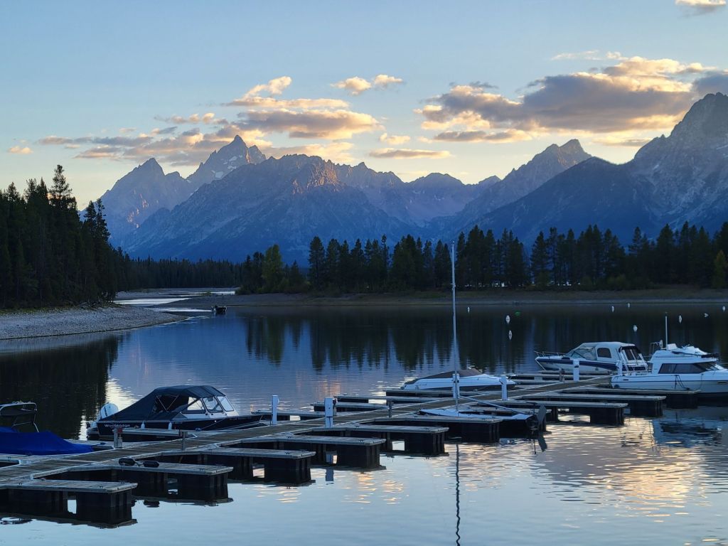
Back at the car, we inhaled our lunch (it was 3:00 p.m. by this point). Then we decided to head over to Jackson Lake Lodge to see whether we could buy tickets for a scenic boat tour.

The girl at the concierge desk told us that the very last scenic boat tour for the season was leaving at 5:15. We booked our tickets and then headed to the bar to relax until it was time to head to the marina.

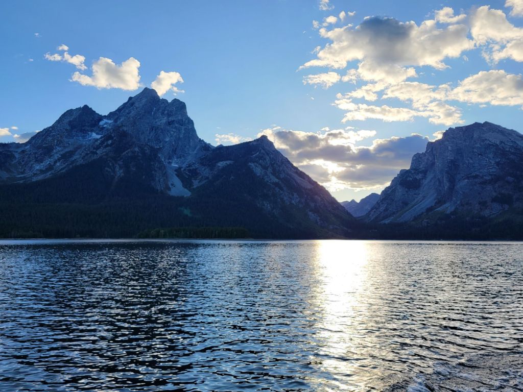
Five-fifteen is a terrible time to take a scenic boat tour if the goal is to get lovely photos of the Teton mountains rising over the water. The first 45 minutes of the tour involved traveling directly into the sun, which made taking photos of the mountains impossible. By the time the boat captain finally turned around to head back to the marina, the sun was setting behind the mountains, leaving them in shadow.

Despite that, I did enjoy the tour, and I learned a lot. Our tour guide was delightful.

Sunset

Since the sun was setting when we arrived back at the marina, Greg and I quickly hopped in the car and headed to another popular spot for taking photos of the mountains.

It was a beautiful sunset, but I don’t feel like I got very good photos of it.

I love all of the beautiful fall colors in the foreground of this photo. Fall has definitely come to the Tetons!

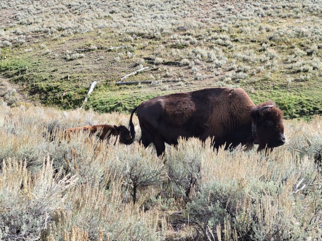
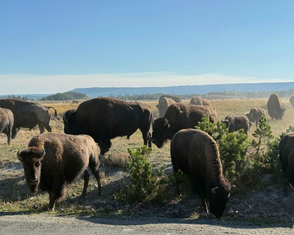
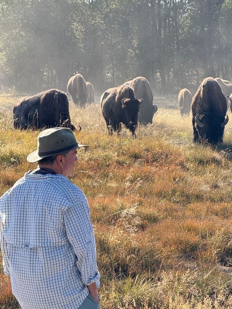
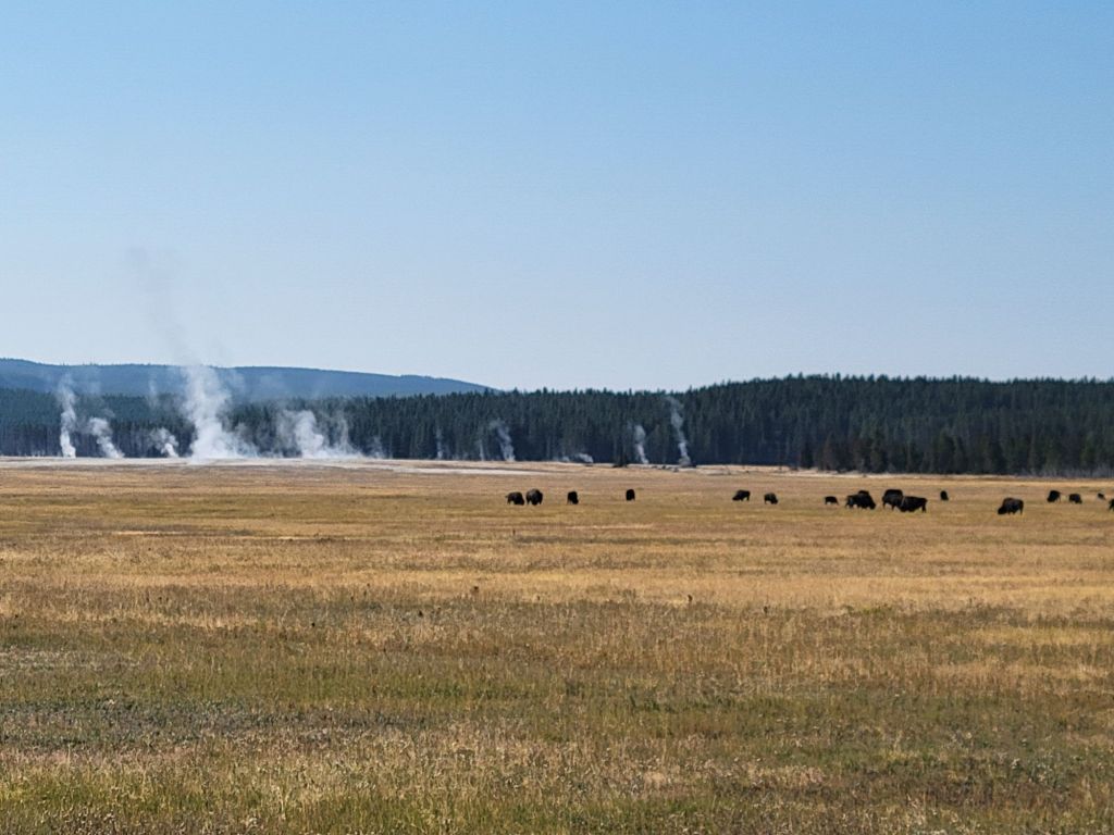
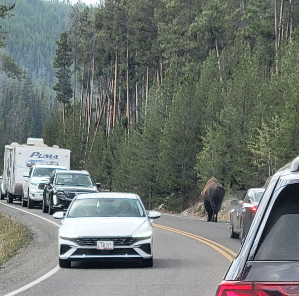
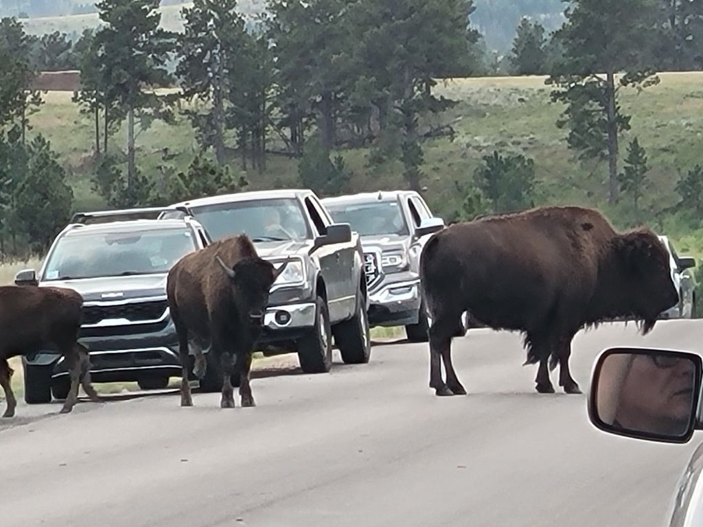
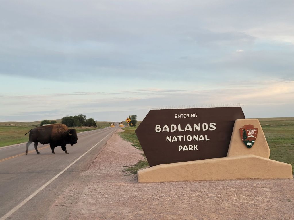
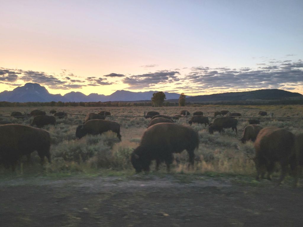
We encountered another traffic jam on the way back to the campground. This time it was a herd of bison on the side of the road.

When we finally arrived back at the campground at 9:00 p.m., we promptly collapsed into bed.

Grand Teton National Park

I had a rough start to the morning. When I woke at 4:30 a.m., it was 57° in the camper, which might explain why I had been freezing for the previous two hours. We had run out of propane in the middle of the night.

Anyway…

We were on the road to the national park at 6:45 a.m. to see if we could catch the sunrise.

We didn’t quite make it, but we came close.

We decided to drive the loop road around the park to see if we could get our bearings. We were finding the park maps difficult to understand, and the ranger at the visitor center last night was not terribly helpful either.

We figured a lap around the park would give us a better idea of what we would like to go back and spend more time on.

The Loop Road

Grand Teton National Park is a very different park from Yellowstone. As far as I can tell after one day’s experience, the loop road is all about scenic overlooks of the Teton Mountains.

Beyond that, there are many hiking trails, opportunities for float tours down the Snake River, horseback riding, and a multi-use trail for biking or walking.

Mormon Row

One of the most popular things to do at sunrise in Grand Teton National Park is to take a photo of the barn on Mormon Row.

Yes, I really did take that photo! Even I’m surprised.

We were lucky enough to get there just after sunrise.

We would have spent more time there, but it was absolutely freezing! I hope to go back and explore a little more another day.

Since most of what we did today was take pictures of the Teton Mountains from various overlooks along the loop road, I will post a few of my favorite pictures without giving a blow-by-blow of every stop we made.

What says “Western USA” better than bison and mountains?
Jackson Lake Reservoir.
Driving down the loop road
Greg, standing out in a field.
The sun came and went all day. Mostly, it went.
Photo taken from Jenny Lake Overlook.
Chapel of the Transfiguration. There is a picture window in this chapel, right behind the pulpit. It looks out on a beautiful view of the Teton Mountains. Unfortunately, it was hard to photograph.
Jackson Lake Lodge. The view of the Teton Mountains from the windows was spectacular. Greg and I relaxed with muffins and coffee while enjoying the view.

Lamar Valley

On Wednesday, we headed to the Lamar Valley, where a lot of wildlife at Yellowstone National Park hangs out.

I don’t feel a strong need to see animals in their natural habitat, but Greg enjoys it. I was basically along for the ride and to see the scenery.

And look at the scenery!

I did not edit this photo other than to crop it. Aren’t those mountains gorgeous?
This photo is quite representative of the Lamar Valley.
Pronghorn. We saw them a couple of different times.

Since Greg was driving and my eyesight is not good enough to pick out tiny little animals far in the distance, we relied on crowds of parked cars to identify where the wildlife was.

This crowd of folks standing on a hill were looking at a herd of bison and a family of wolves.

I don’t have good pictures of the bison or the wolves because they were too far away to capture on camera. One really needed a high-powered set of binoculars to see them, which we did not have. However, some of the folks who did were kind enough to let us look through theirs.

I often have to take my photos through the windshield of the car because Greg is so focused on his driving that he doesn’t hear me express interest in pulling over to take a picture until it is too late. But I got lucky with this photo (above).

Greg had turned off the car so that he could get out and take a photo of a herd of bison across the street. Unfortunately, he left the windows open and this mother bison with her calf started wandering in my direction. At one point, she got so close I was afraid she’d stick her head in the window. I was scrunching down and trying to make myself look as invisible as possible!

Over the course of the day, we got to see black bears, pronghorn, bison, elk, and wolves.

After Lamar Valley, we headed back to Tower Roosevelt. The plan had been to eat lunch at the lodge there. Greg’s fishing captain had recommended it. Unfortunately, they were closed for the season.

The photo below is of Petrified Tree (a short detour from Tower Roosevelt). It is 50 million years old.

Next, we headed to Calcite Spring. I had been wondering why I was still smelling sulfur since I hadn’t seen any steam rising anywhere. I didn’t wonder any longer after I saw the geyserite on the walls of this gorge.

That is the Yellowstone River.
This photo was taken looking in the other direction from the photo above. Can you see the line of basalt columns near the top of the cliff on the left? Very cool.
Still at Calcite Spring, just further down the trail.

On the way back to Tower Fall, we stopped to take some photos of this basalt cliff. The size of the cars should give you some idea of how massive this thing was.

Our next stop was Tower Fall, where we had lunch and ice cream floats at the general store followed by a walk to the Tower Falls overlook.

Then we took the Tower Falls Trail down to another overlook. Greg stayed there while I followed the trail all the way down to the bottom of the gorge.

Greg (in the light blue shirt), patiently waiting for me to finish taking pictures.
Looking in one direction…
Then looking in the other. Greg told me that while he was watching, this fly fisherman caught two fish.
And another photo taken from around the corner. A storm was moving in. Hence, the dark clouds.

After Tower Fall, we headed back in the direction of the campground.

We detoured to view the Virginia Cascades, but we were unable to stop and take pictures. The road was barely wide enough for the car. One side was a rock cliff, and the other was a steep drop off into the river below. It was edged with temporary cement barriers that wouldn’t have done much to keep us from tumbling over the sides into the river far below. I was terrified.

We did get to see the cascades, which were impressive, but I wasn’t willing to find a spot to pull over and take photos.

Mammoth Hot Springs

On Monday, we headed to Mammoth Hot Springs. Since it is a good distance from where we are staying in West Yellowstone, we had another early start.

That meant I got to enjoy another foggy morning! Who knew I would find fog so enthralling?

I’m pretty sure that this is fog, but it may have been drifting steam from one of the hot springs in the area.

By the time we arrived in Mammoth Hot Springs, the geography had changed dramatically! It was no less beautiful, though.

Our first stop was the visitor center. This bull elk was hanging out on the lawn in front of the visitor center, bugling for his does.

When we first arrived, he was lying down. I think he finally got tired of waiting for the does to show up, so he stood up and started hollering for them.

The photo below shows Mammoth Hot Springs from a distance. All that white is siliceous sinter, otherwise known as geyserite. To me, it looks like a mound of dirty snow.

And this is what it looks like close up.

We started by driving through the Upper Terrace before parking the car and walking the boardwalk of the Lower Terrace.

This pile of geyserite is still venting steam, although it is a little hard to see from this photo.

The formation shown in the photo below is what makes Mammoth Hot Springs unique. These are called travertine terraces.

This is what they look like close up.

And from further away.

After leaving Mammoth Hot Springs

We did so much after leaving Mammoth Hot Springs that I’m going to post the photos with captions and leave it at that.

Undine Falls
Another picnic lunch
A hike to Wraith Falls. I enjoyed the 1/2-mile hike significantly more than I enjoyed the falls!
Wraith Falls
The Golden Gate (the names for things here are really weird)
Obsidian Cliff. I have a close-up of the cliff, but I liked this photo better.
Roaring Mountain. I will never get over geysers and steam vents coming out of mountains.
Terrace Springs. In the morning, the steam rising off the water is an impressive sight.
Firehole Falls, accessed via Firehole Canyon Drive.
Looking in the other direction from Firehole Falls. (Firehole Canyon Drive had some truly impressive views. Unfortunately, there was no place to pull over and take photos.)
Fountain Paintpots. This geyser was the most active one I’ve seen so far.
This is what happens to lodgepole pines when they are immersed in the runoff from geysers.

On our way back to the campground, we experienced our first true bison traffic jam. The park rangers eventually showed up to scare the bison off the road.

There’s always at least one idiot in the crowd…

It was a great day, at least for me.

By the time we arrived back at our campsite, Greg’s normal equanimity was experiencing some tatters around the edges. Between the stress of driving on winding narrow mountain roads, walking thousands of steps, and sightseeing, he was exhausted. (I think he has also had his fill of geysers, hot springs, and steam vents to last a lifetime.)

Tuesday will be a less intense day.

Old Faithful

We got a somewhat late start this morning because we had a late night.

We had gone into Yellowstone National Park last night to see if we could find an open area to take pictures of the night sky and hopefully the Aurora Borealis.

Greg’s research (I did no research on what to do in Yellowstone before getting here, so our itinerary while here is up to Greg) indicated that the Madison Amphitheater might be a good spot. However, when we got there, we found that we would have to hike through the woods in the dark to get to the amphitheater.

We both decided that we didn’t want to be eaten by bears on our first day at Yellowstone, so we turned around and went back to the campground.

(Just FYI. We picked up bear spray before we headed out, but I wasn’t willing to risk it. Interestingly, we rented the bear spray at the same place we had dinner last night, a pub and restaurant called Madison Crossing.)

Our first stop this morning was the Upper Geyser Basin area, which includes Old Faithful. (It was also our last stop, since it took most of the day to tour.)

As we were headed there this morning, I couldn’t resist taking a photo of the steam vents in the distance with a herd of bison in the foreground. So cool!

We got there shortly before Old Faithful was about to blow, so we joined the horde, cameras at the ready.

It did not disappoint. (This is actually a photo from later in the day from a different angle.)

Then we walked along the boardwalk to see all of the other steam vents and geysers. In all, we walked almost 6 miles today.

I just love the juxtaposition of the thermal activity with the trees and mountains. So much going on under the surface while life continues relatively undisturbed above.

I wondered why Greg was so gung-ho this morning, whereas I felt like a dehydrated slug. Every step was an effort. Later, I remembered that Greg had sat in the shade and relaxed while I hiked the Cathedral Spires Trail and the Sylvan Lake trail, so maybe he was experiencing less muscle fatigue.

But then, it could have been the altitude, too. West Yellowstone is at 6700 ft above sea level. Where we live is about 250 ft above sea level.

All those minerals build up over time, creating interesting formations around the geyser.
Sometimes it looked like snow coated the landscape, but it was just minerals from the water being released by the geysers.
Morning Glory Pool. Apparently, it used to be even more colorful, but people have been throwing things in there, which has been changing the chemical and bacterial makeup of the water.
Greg and I stopped to get a snack. While we were sitting on the bench, this little fellow came over looking for a handout. At one point, he even jumped up onto the bench between Greg and me. Bold little bugger!
And, of course, there was the obligatory bison backup. This fellow was just meandering down the road as if he were one of the tourists.
Greg got an especially good photo of him.
As usual, I was completely captivated by the landscape.

I told Greg that we should do something that did not involve hiking tomorrow (something like driving through Hayden Valley. Hint, hint.), since I’m not sure I can muster up the energy.

Are we doing something tomorrow that doesn’t involve hiking? Of course not.

Jewel Cave

On Friday, we drove the 2 hours back, past our campground, and continued on to Jewel Cave. We took the cave Scenic Tour.

Since I doubt any of my readers are as obsessed with caves as I am, I will try to keep this short.

This cavern got its name from the calcite crystals covering its walls.

Most of the crystals aren’t as sparkly and pristine as the ones in the picture above, though. Most are covered in a dirty crust, so they look like this:

Not nearly as glamorous as the name “Jewel” Cave implies!

Jewel Cave is a “breathing cave.” The air inside changes pressure as the pressure outside changes, creating a breeze through the cave.

So far, volunteers have mapped 253 miles of Jewel Cave. Based on the pressure changes within the cave, scientists believe that only about 3% of the cave has been mapped so far.

We saw lots of different cave formations in Jewel Cave, but my favorite was probably the cave bacon:

It really looked like bacon!

Custer State Park — Wildlife Loop

After our tour of Jewel Cave, we headed back to the campground.  I was so tired that I took a nice, long nap.

Then we headed over to Custer State Park to see if we could pick up a park pass. On impulse, we decided to do the Wildlife Loop.

Shortly after starting along the loop, we came upon this scene:

I was a little freaked out, I’m not gonna lie. And it didn’t help when Greg GOT OUT OF THE CAR to take a picture. I yelled and told him he was an idiot.

Later, we got to see some pronghorn.

And LOTS of prairie dogs.

Prairie dogs are tiny! I expected something the size of a groundhog, not a guinea pig.

Greg had really been hoping to see some elk, but it was not to be. However, we did get to see some longhorn steer as we were heading toward Custer.

To be honest, I think my favorite part of the drive was the scenery.

The prairie is so beautiful.

Since it was 7 pm by then, we decided to grab dinner in Custer rather than make dinner at the campground.

The food is good at the Sage Creek Grille (though I liked the ambiance more)

The Minuteman Missile Site

On Thursday, we drove 2 hours back in the direction we had come from the day before. (This part of the trip was not particularly well-planned, I’ll admit.)

Our first stop was the Minuteman Missile Site.

The Minuteman National Historic Site consists of two Minuteman II nuclear missile facilities that are no longer in operation as well as the visitor’s center. We weren’t able to get tickets for a tour of one of the sites, so we watched an informational video about the Cold War and browsed the exhibits in the visitor’s center.

I imagine this photo brings back vivid memories for anyone over the age of 60, including me. I remember nuclear “fire” drills that involved huddling with my classmates against the walls of the hall in my school. As if that would have saved us!
Can you imagine being the president and having to decide whether to engage in a nuclear war with less than 30 minutes’ notice?
The video and this poster talk about the number of close calls the U.S. and Russia have had over the years due to various mishaps. It’s terrifying to think of how incredibly close we have come to annihilating ourselves — multiple times, no less.

At one time, the U.S. had thousands of nuclear missiles. Now we only have a couple of hundred — still enough to destroy the planet, just not enough to destroy it multiple times over.

The Badlands

Next, we headed down the road to the Badlands. They were awesome! Unfortunately, the photos will not do them justice.

It’s impossible to get a sense of how massive these stone formations are and how deep the ravines go without having people in the photo to compare them to.

Our first order of business was to hike the Notch Trail.

It was freakin’ hot!

We did pretty well, despite the sun and heat (it was 100°)…until we got to the ladder.

As we waited for these folks to carefully make their way down, a crowd began to form at the bottom, waiting to go up.

Neither of us wanted to feel the pressure from a bunch of young whippersnappers to rush up the ladder, so we decided to abandon the rest of the hike.

Some other photos of the Badlands:

Roberts Prairie Dog Town

Before finishing our tour of the Badlands, we drove 5 miles down a very bumpy gravel road to Roberts Prairie Dog Town to check out the prairie dogs.

Prairie dogs are prolific little suckers. All those white spots are prairie dog mounds.
Nothing like a little plague to add to the adventure!

I would post a picture of some prairie dogs, except that we didn’t get any. We saw them, but they were very far away and we needed binoculars.

Plus, it was so windy that it was impossible to hold the binoculars still enough to actually see what the prairie dogs were doing.

Wall Drug

After the prairie dogs, we headed into the town of Wall to check into our motel.

Then we had dinner at the Badlands Saloon and Grill before heading across the street to check out the famous Wall Drug.

Apparently, this is the must-see attraction in Wall, South Dakota (think South of the Border with an upscale, South Dakotan twist).

They had hats. Boy, did they have hats!
And they had boots. Lots and lots of boots.
And walls of photos, for some reason.
And Greg, checking it all out.

Afterward, we headed back to the Badlands to see if we could catch the sunset. Unfortunately, the clouds were moving in by this time.

But look what we did see on our way into the park!

This was my first experience with a bison up close and relatively personal. But it was certainly not my last.

Although the sunset was a disappointment, I think I got some decent pictures.

Look at those colors!

Blue Mounds State Park

This morning, Greg and I took the Prairie and Bison Bus Tour at Blue Mounds State Park.

We got to see the bison herd almost as soon as the tour started.
The prairie was beautiful and so different from anything I’ve seen before.

I learned some pretty cool facts on the tour:

  • The prairie needs to be burned every few years to keep it healthy and prevent it from evolving. People have been burning prairies for thousands of years.
  • No bison currently living in the US is purebred due to cattle/bison inbreeding many years ago by ranchers.
  • Only 4% of the original long grass prairie remains in the U.S.
  • The soil that makes up the prairie of Blue Mounds State Park is at most 3 ft. deep. Underneath the soil is up to 350 ft of Sioux quartzsite. Because of that, the root system goes sideways rather than down.
  • Bison like to hang out together, so it is rare to find one on its own.
  • The various parks that breed bison swap the bulls between them in order to prevent too much inbreeding.

We saw some cool wildlife on our tour, too. Thanks to another woman on the tour, who had a powerful set of binoculars, we got to see a red tail hawk and a falcon. We also got to see some pheasants.

Our tour guide was delightful.

Palisades State Park

Next, we headed to Palisades State Park. This was a cute park with some beautiful quartzsite cliffs along Split Rock Creek.

I could post about 20 pictures from this park. I thought it was beautiful.

I really wanted to be one of those kayakers!

One more photo, just because.

Falls Park

Next, we headed to Falls Park in downtown Sioux Falls.

The feels-like temp today was between 100 and 103 degrees, despite the cloud cover (humidity over 70 percent), and Greg was beat by this point, so he took a little convincing to keep going. But after a short stint in the air-conditioned camper, he was game.

And in the end, we were both glad that we went. Wow. Falls Park was a pleasant surprise!

It’s a wonderful community park with a water playground for kids, shops, picnic areas, and restaurants. But the highlight of the park is the falls.

You don’t see something like this right in the heart of a city very often. It was very cool. (By the way, that building is a cafe.)

Miscellany

Some observations about Wisconsin and South Dakota:

  • The names of county roads in Wisconsin are letters of the alphabet (e.g. County Road V, County Road E). In South Dakota, the names of county roads are numbers (e.g. County Road 478, County Road 452).
  • The roads are so straight!
  • The fields of crops (corn or soybeans) are so vast that they disappear into the horizon. It’s all farmland here.
  • People in South Dakota say hi to you when walking past you.
  • The roads in Wisconsin are in terrible condition. So are a lot of the roads in South Dakota. Even I-90, which is a major highway!
  • The roads in South Dakota are sparsely traveled. We went nearly 20 miles today and only passed one other car.
  • We’ve been feeling a bit like we’re driving across the top of the world, even though our elevation is only 1200 ft. above sea level. I think it’s because the landscape is so flat that the horizon is very far away.
Until tomorrow!