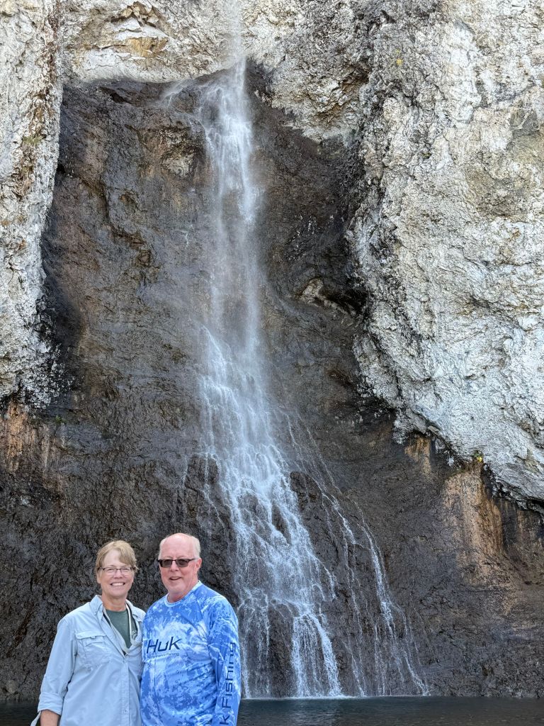
Yarmouth

I’m combining everything we did while in Yarmouth because, frankly, we didn’t do much.

First, some final thoughts about Nova Scotia before we head back to the States tomorrow. Much of this stuff applies to New Brunswick, Cape Breton, and Prince Edward Island, too.

  • The hiking opportunities are  limited and not particularly interesting.
  • Although there are rail trails that do permit biking, the trail surfaces tend to be too soft and gravelly for e-bikes.
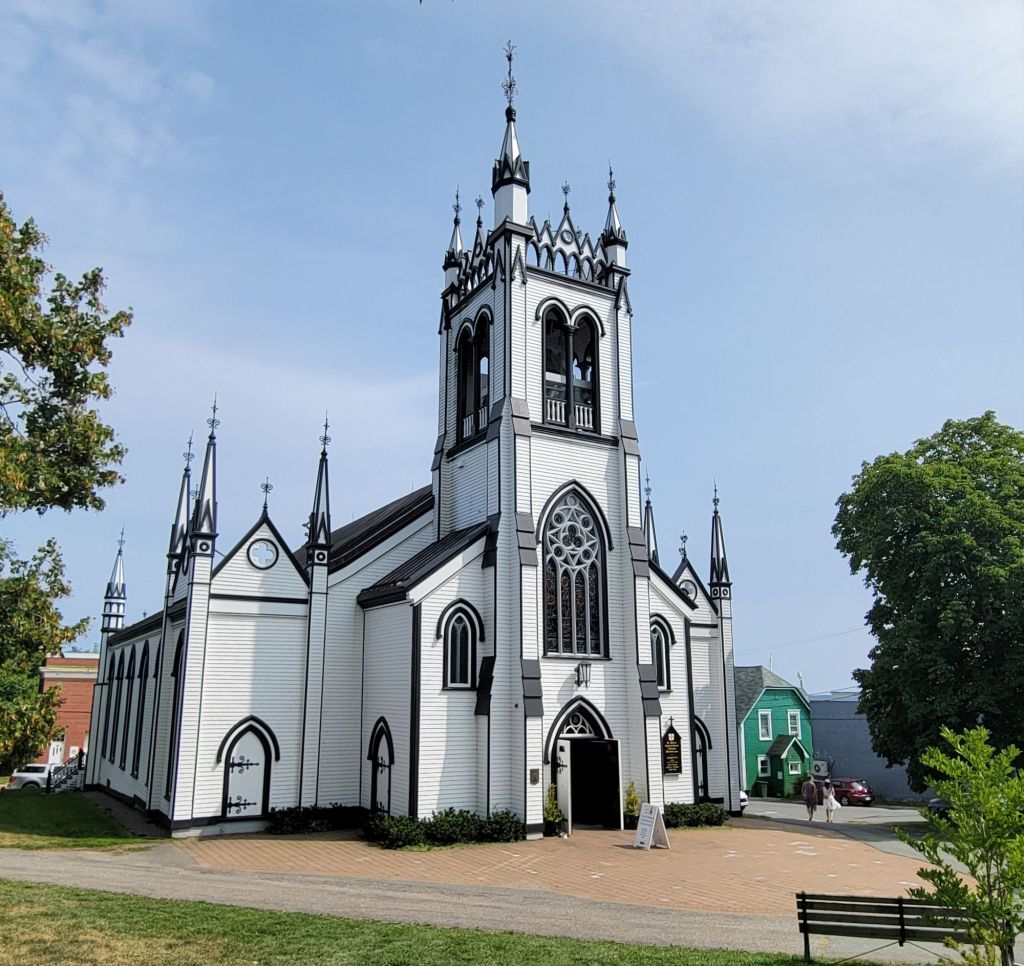
  • The churches here are very pretty, with lovely trim, windows, and tall steeples. I would have loved to have stopped and taken more photos of them, but Greg was driving. 😆
  • There are plenty of places for kayaking, but we rarely saw any scenery that we would have enjoyed viewing from the water.
  • The absolute best way to eat lobster is steamed with melted butter. None of this lobster roll or creamed lobster stuff! Yuck.
  • The weather in Nova Scotia in August is gorgeous, but be prepared for lots of foggy mornings in Yarmouth. And as one park employee told us, if you don’t like the weather, just hang around for another 10 minutes, because it’s sure to change!
  • Don’t expect to see many pretty lighthouses, and don’t expect to find them easily.
  • The best whale watching tours take off from Brier Island or Long Island.

Lighthouse day

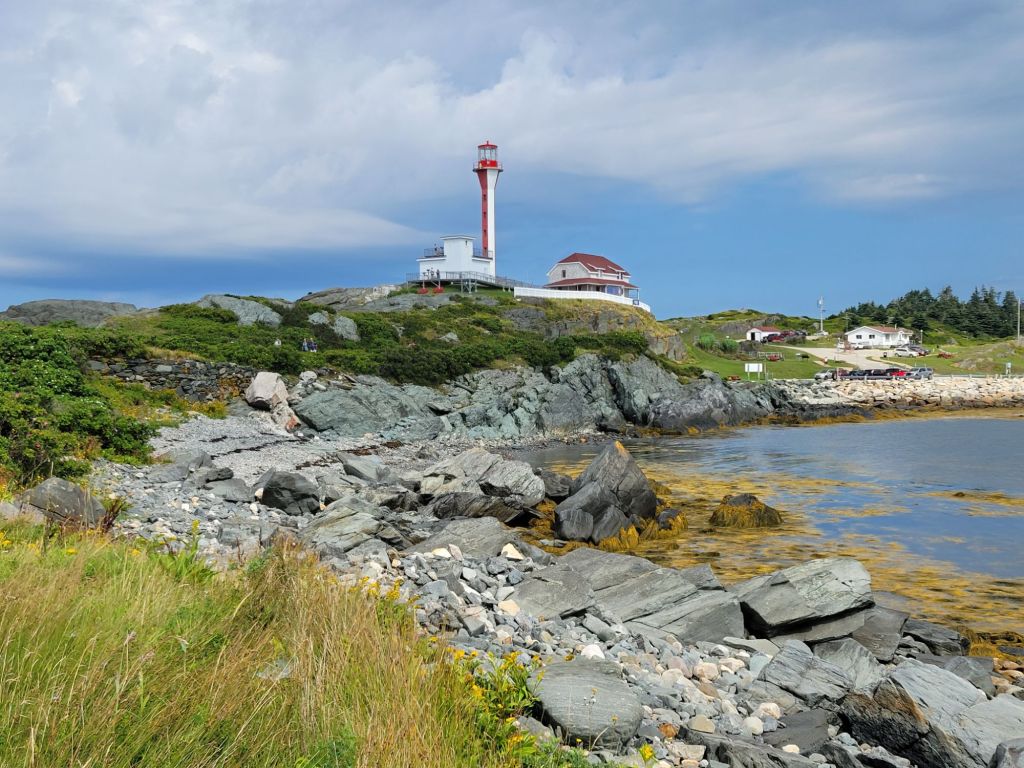
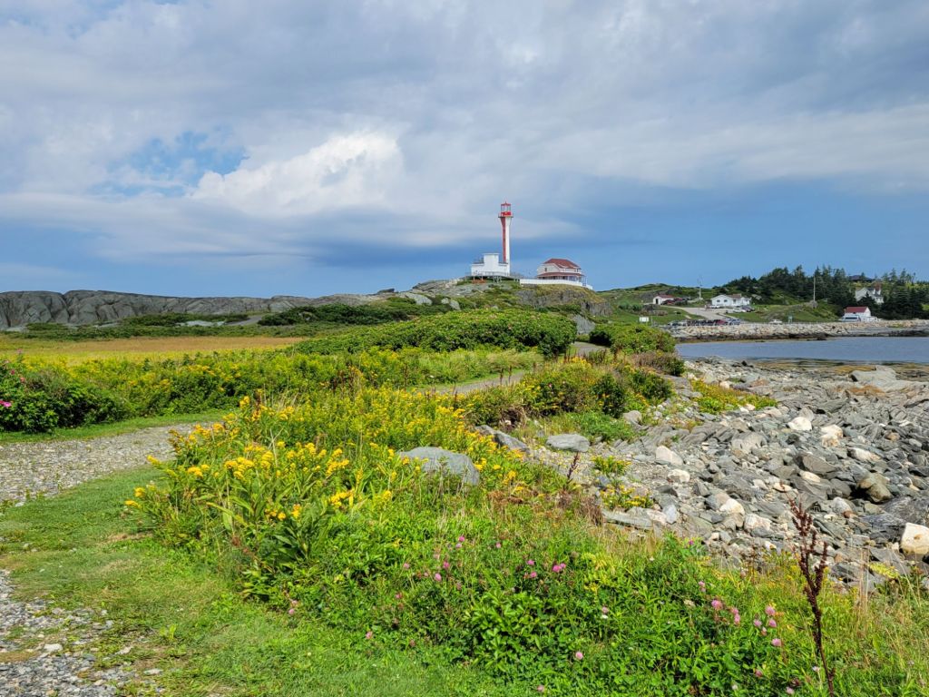
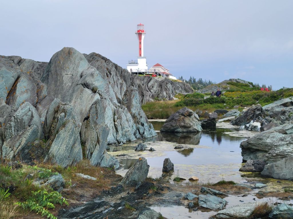
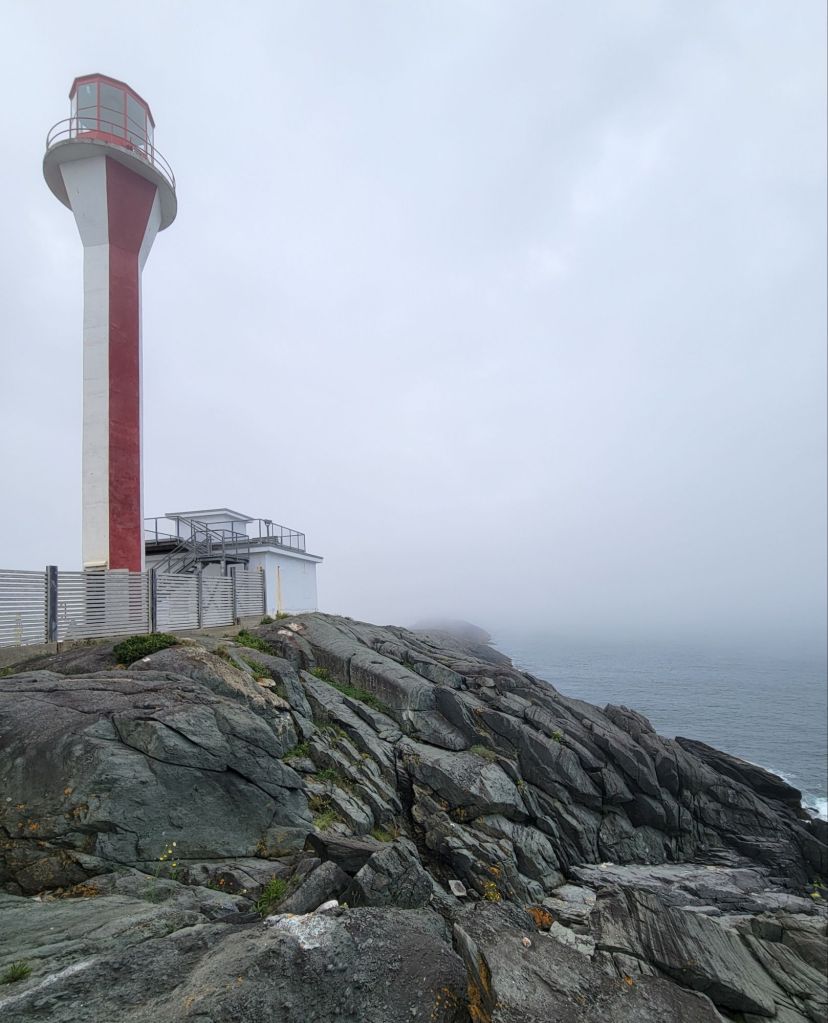
As I said, we didn’t do much while we were here, but one day we decided to drive around and see how many lighthouses we could find. We started with the Cape Forchu Lighthouse.

Note the blue sky in the first couple of photos.
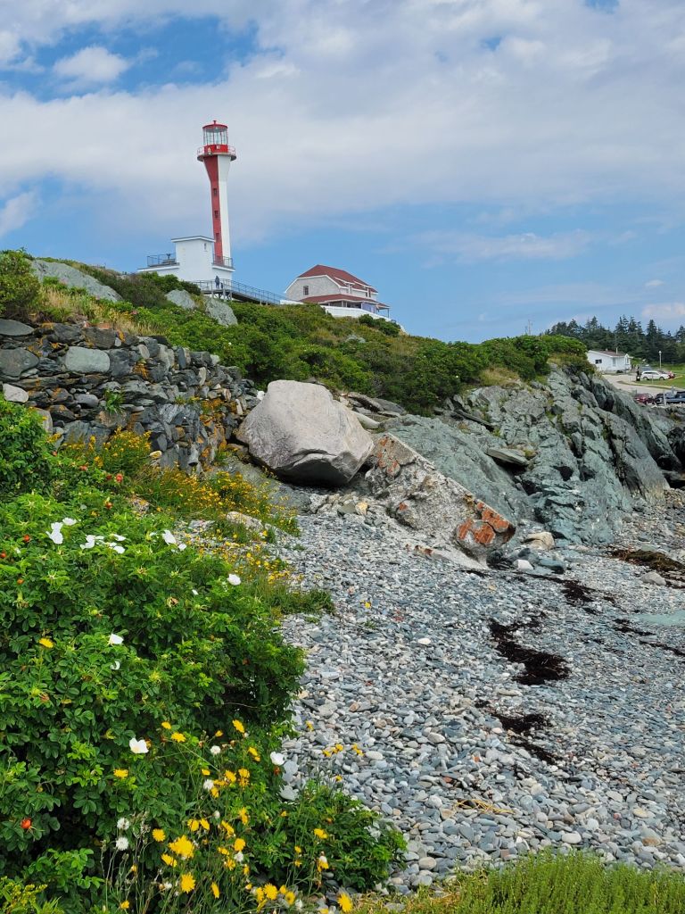
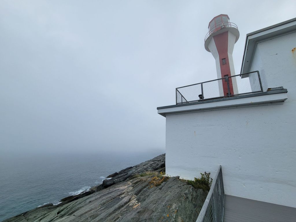
This lighthouse is called an apple core lighthouse because of its shape.

And then the fog rolled in…

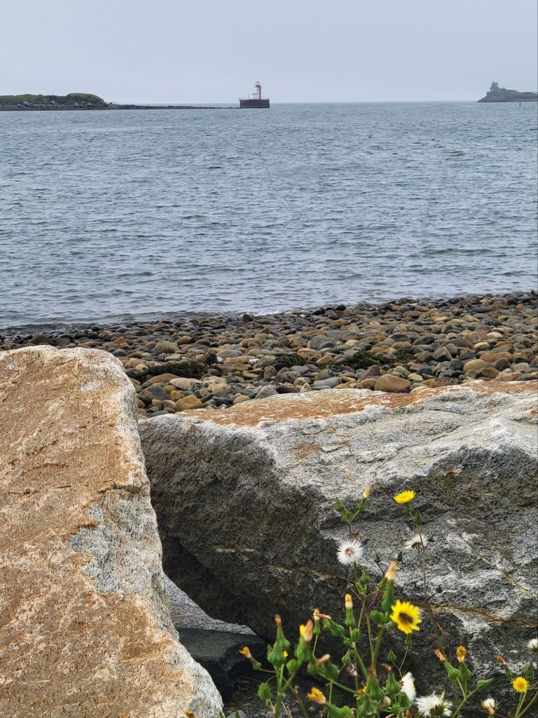
Next, we headed to Bug Light, which is way out on Bunker’s Island in the Yarmouth Harbor.
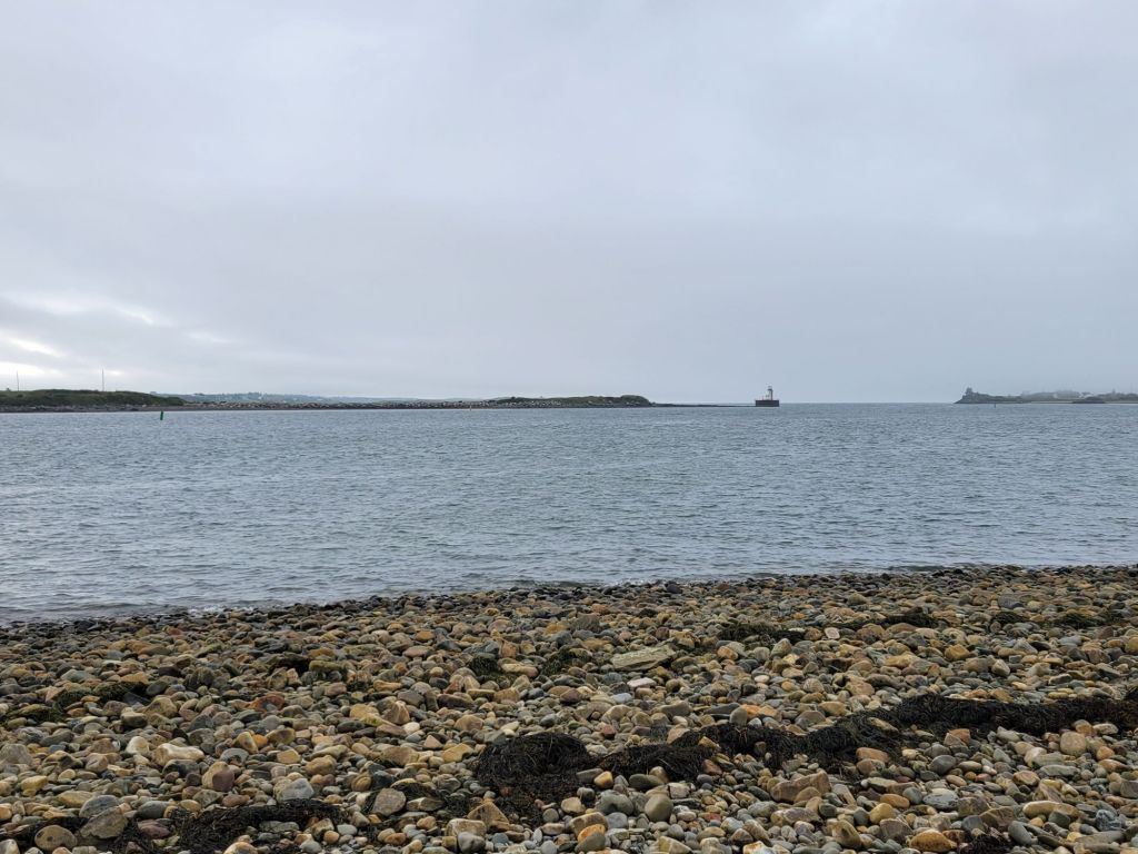
Yeah. So exciting.

After that thrilling sight, we headed to Pubnico Lighthouse. I don’t know how, but Greg managed to make this lighthouse look significantly more impressive than it deserved.
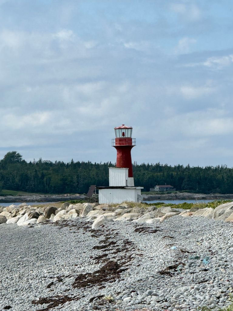
This is Greg’s photo. It is a close-up view because the beach is unattractive, and off to the right are giant wooden platforms holding hundreds of lobster traps with dead crabs in them.

Our final lighthouse of the day was the Abbott’s Harbour Lighthouse. To get to it, we discovered, you have to walk through an Acadian living history settlement.
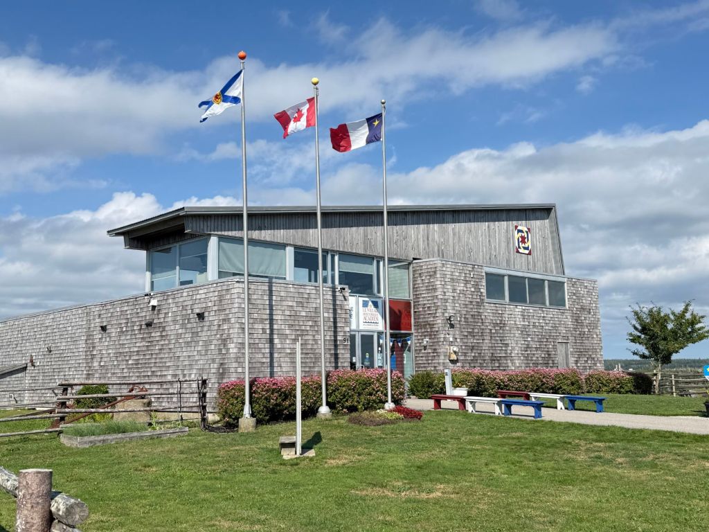
We arrived just after it had closed, which is a shame because it looked like it would have been interesting.

Anyway, one of the employees told us that we were welcome to walk through the property to see the lighthouse.
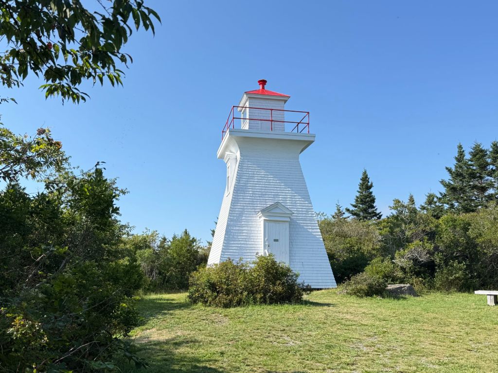
I was disappointed because it was impossible to see the water from the lighthouse, and there was no way to get a photo of the lighthouse from the water.

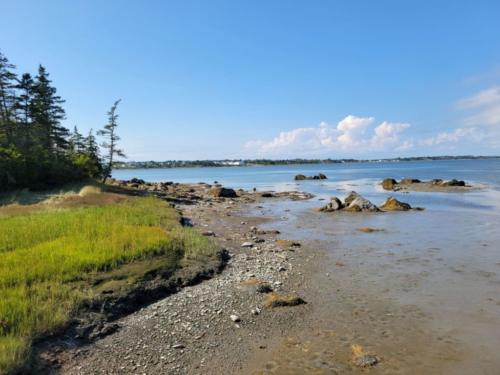
I did get these photos from the water’s edge, though.
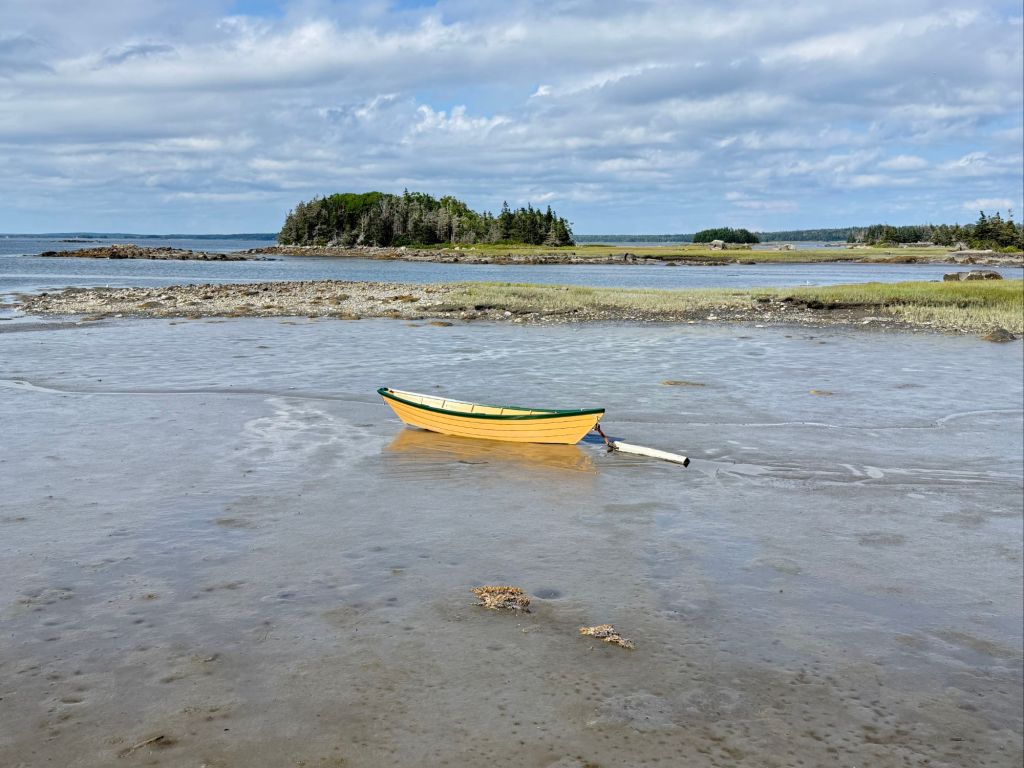
Greg was stung by a bee while we were there, so we decided to use that as an excuse to go out to dinner on the way back to the camper. We decided on Rudder’s Seafood and Brewery because it named two of our favorite things: seafood and beer!

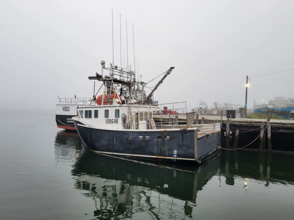
As we were leaving the restaurant, the fog once again rolled in.
And just so you know what I mean about pretty churches, here is a photo I took of St. John’s Anglican Church in Lunenburg.
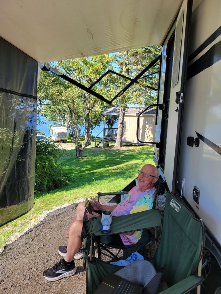
And this is how we spent much of our time while in Yarmouth. 👇
Bye, Bye, Nova Scotia!
Balanced Rock Trail

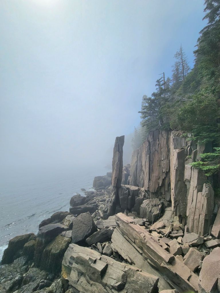
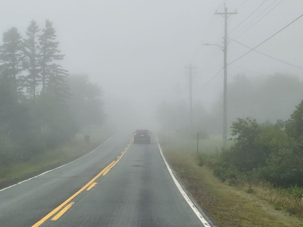
This morning we headed to Digby Neck to hike the Balanced Rock Trail. As you can see from the photo below, it was a very foggy morning.

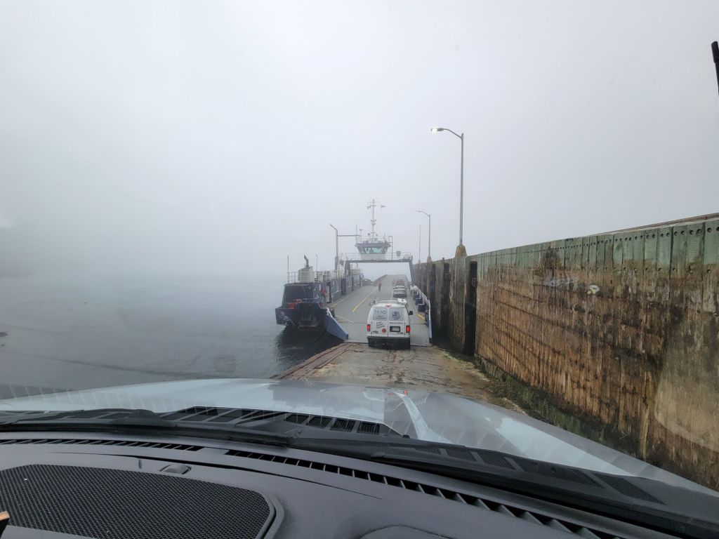
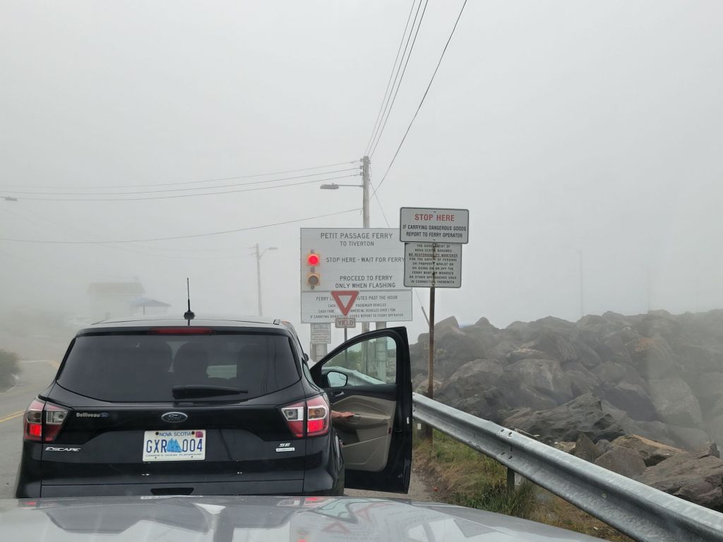
Waiting in line for the ferry. The fog was so thick that you couldn’t even see the water. Thinking that we had 50 minutes before the ferry arrived, Greg headed across the street to the cafe for a breakfast sandwich and cup of coffee. We ended up missing the ferry and had to wait for the next one.
Driving onto the ferry. I have no idea how the captain was able to find his way across the channel in the fog.
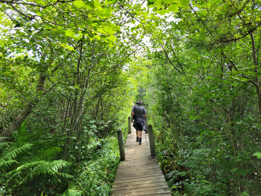
The trail down to Balanced Rock was an easy walk and thankfully clear of fog.
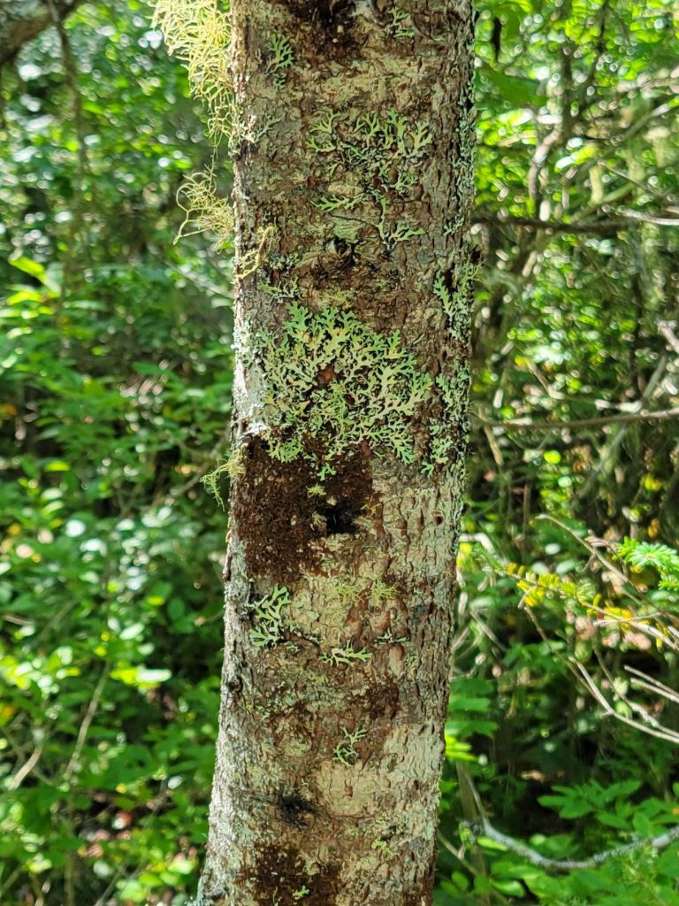
We saw some pretty cool-looking lichen on our trek.
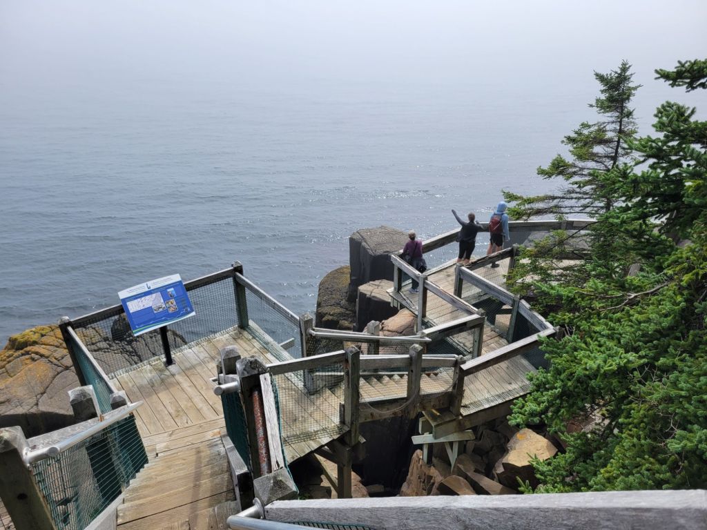
Greg’s phone claims it was 11 floors’ worth of stairs down to the platform by Balanced Rock.
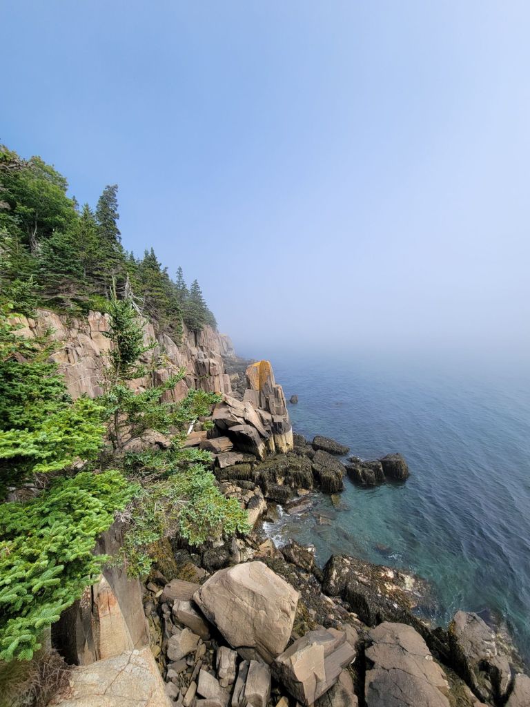
Looking to the left. As you can see, the fog had not yet completely lifted.
Looking to the right, Balanced Rock. It’s hard to tell from the photo, but Balanced Rock looks like it defies the laws of physics. I don’t know how it is able to balance on such a small piece of rock.

Bear River

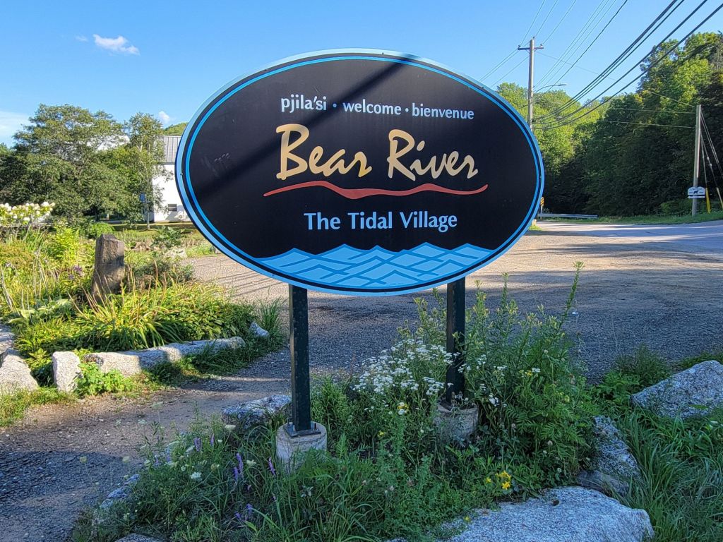
Next, we headed to Bear River to see what was there and to visit one of the two wineries.

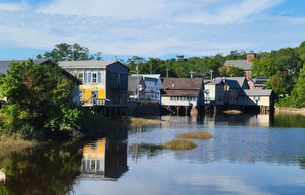
There isn’t much to see in Bear River. A couple of little art galleries, a grocery store, a cafe, and that’s about it.

Bear River Winery

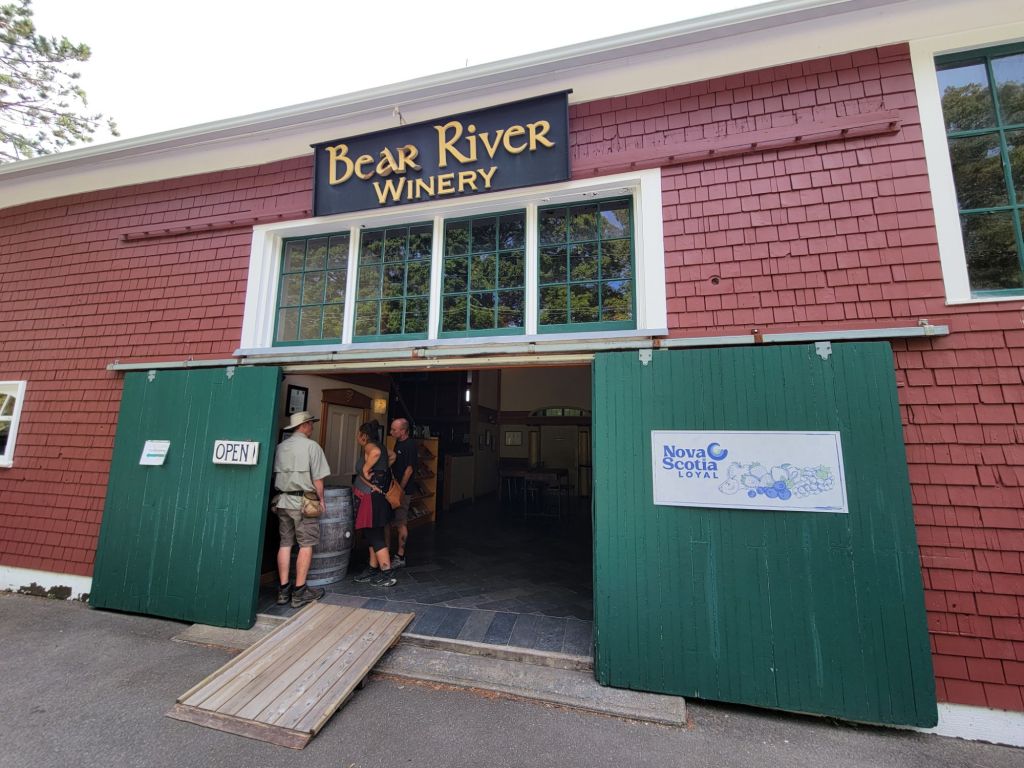
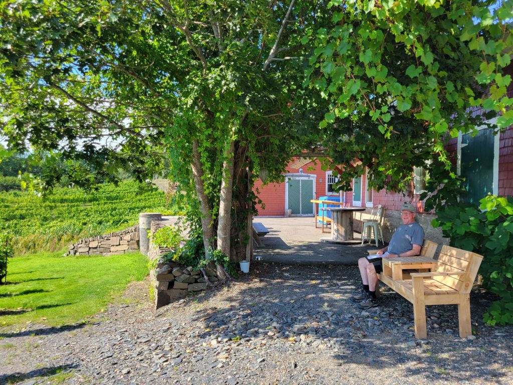
Bear River Winery was a tiny operation, but the people running it were extremely friendly and helpful. Greg and I enjoyed a flight of wines with a small snack cup.

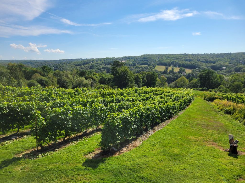
The view from the back patio of the winery.

There is another winery in Bear River called Casa Nova Fine Beverages, but you have to pre-book a tour and tasting. We were not interested in taking a tour, and I was not sure that we would get to choose which wines we tasted. So we decided not to go there.

More medical stuff

Although the dreaded diarrhea has not yet hit, I was seriously beginning to doubt that the medication I was on was doing anything. Plus, the doctor and the pharmacist had given me conflicting instructions regarding dosing.

Consequently, I ended up calling my doctor in Downingtown to ask her advice. She encouraged me to take the full dose of medicine that I had been prescribed and told me that the risk of developing diarrhea was no greater than for any other antibiotic. She also told me that once I got back to the states, she could call in a prescription for me if I still needed it. That really put my mind at ease.

Cabot Trail

First, this is a photo taken from our campground. We are perched on top of a cliff.

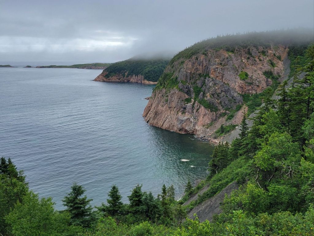
We are currently at the northern end of Cape Breton. I feel as if the clouds tend to sit on top of the mountains here, which makes things very foggy and misty.

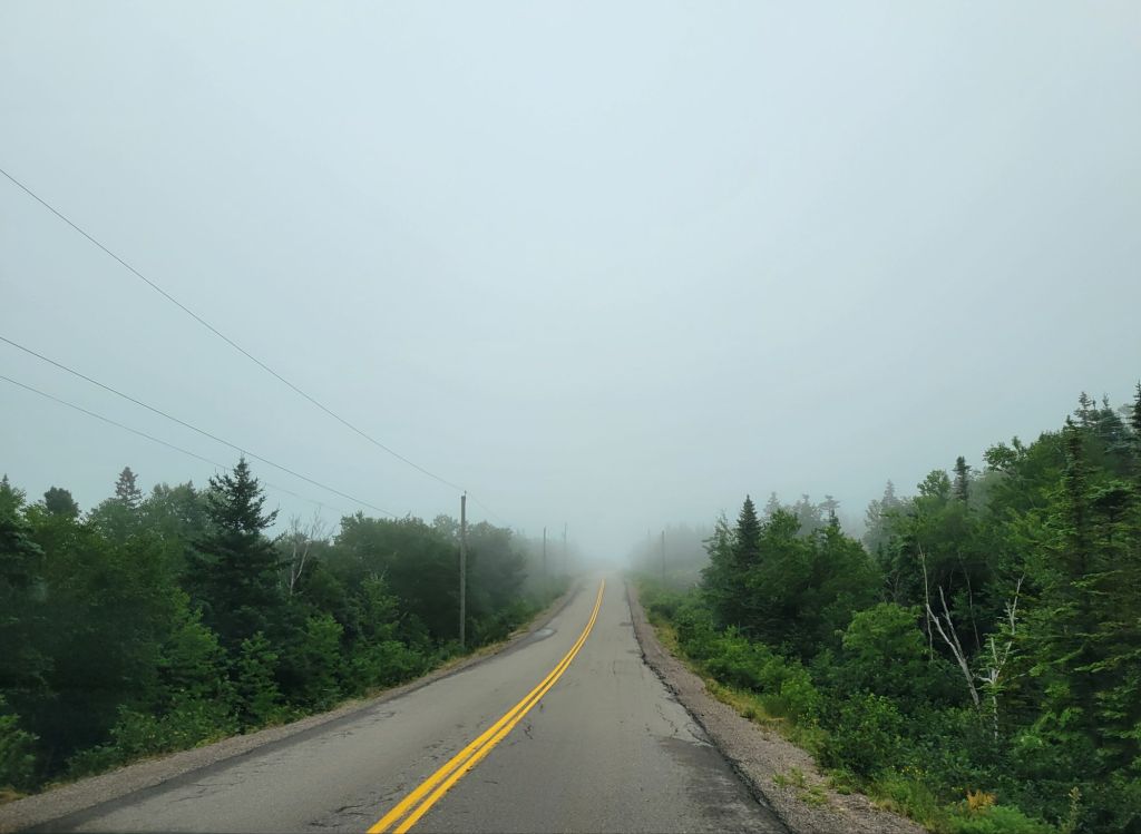
This was the scene during part of our drive this morning. It was even worse yesterday when we were pulling the camper. Greg’s nerves were completely shot by the time we arrived at the campground.

Since the weather forecast was for rain in the afternoon, we got going early in the morning to take advantage of the drier conditions. It was still dreary, but at least it wasn’t wet.

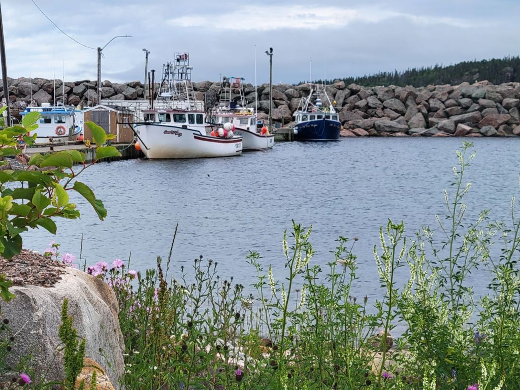
Greg had picked out some trails for us to hike along the Cabot Trail. But first we took a detour down the coastal road, driving through tiny Neil’s Harbour and stopping to take a photo of the lighthouse.

The lighthouse was unattractive, so I’m not posting a picture of it.

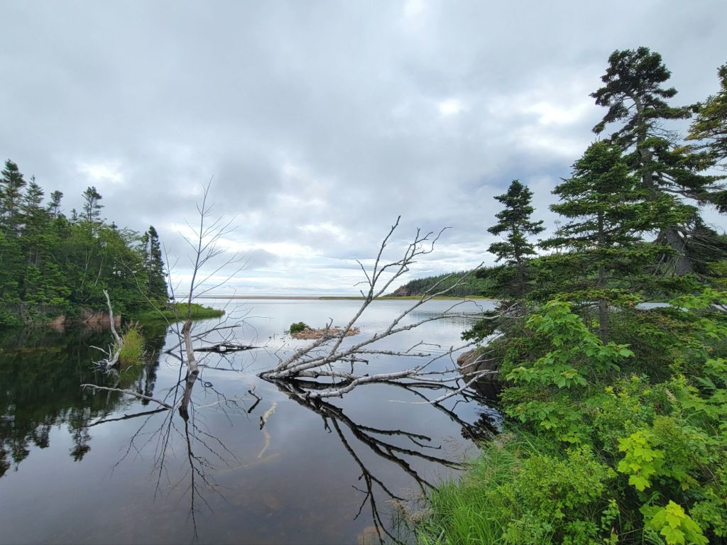
We stopped at this pretty little pond (below) in order to use the porta potties.

Then we stopped at Jack Pine to hike the trails.

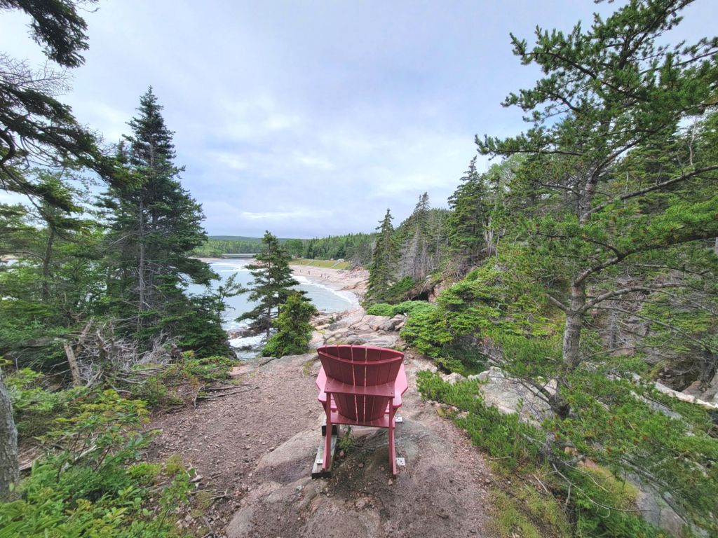
I love the way the Canadian parks situate these chairs at scenic overlooks

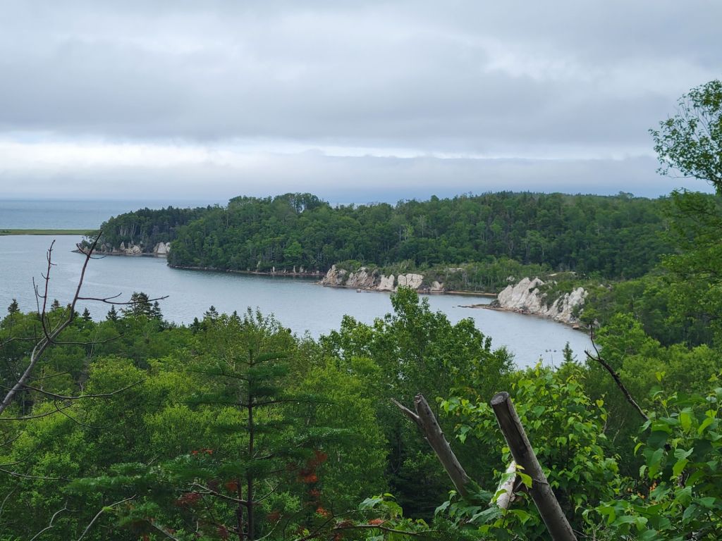
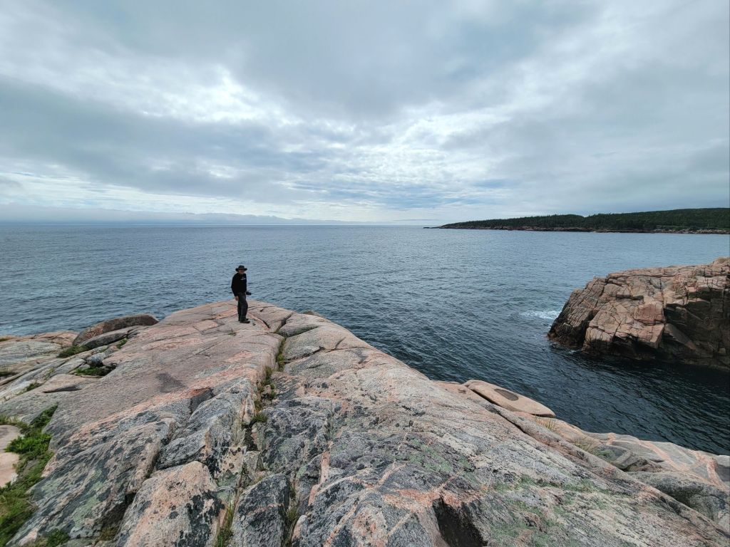
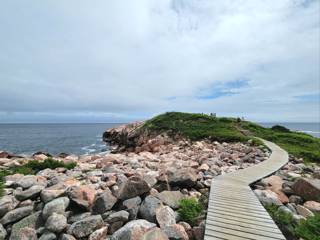
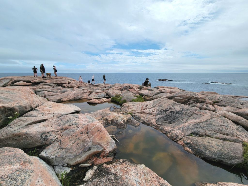
Some photos of the hike.

If you look closely, you can see a couple sitting on the rocks.

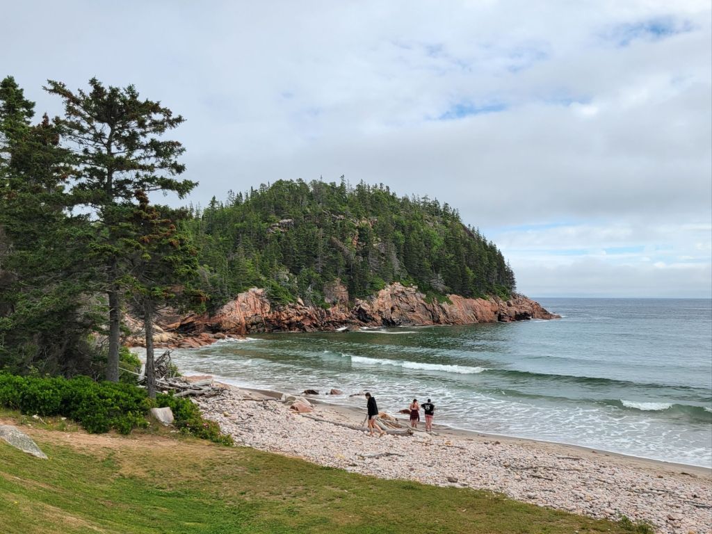
Then we stopped at the beach to take a picture.

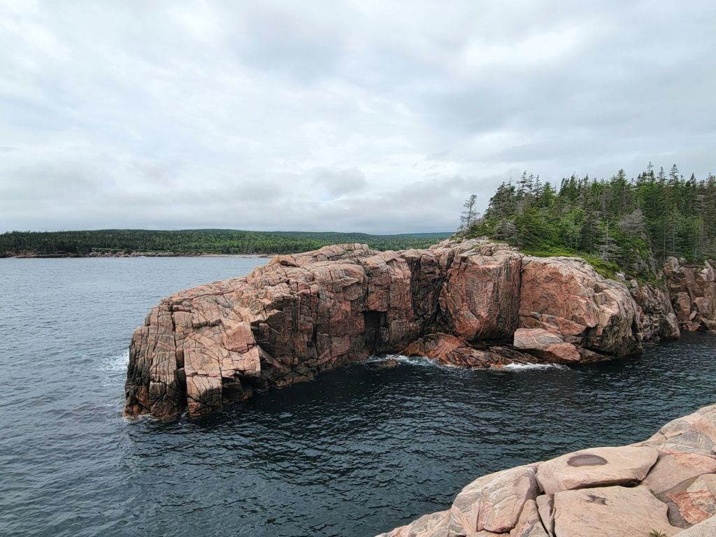
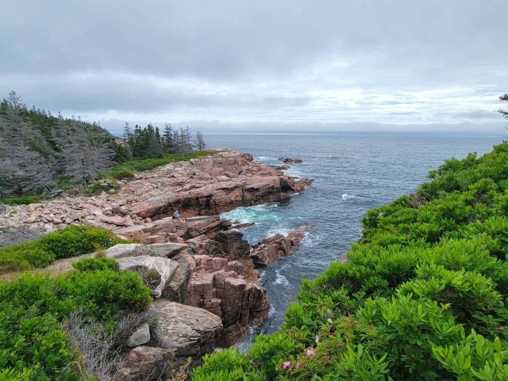
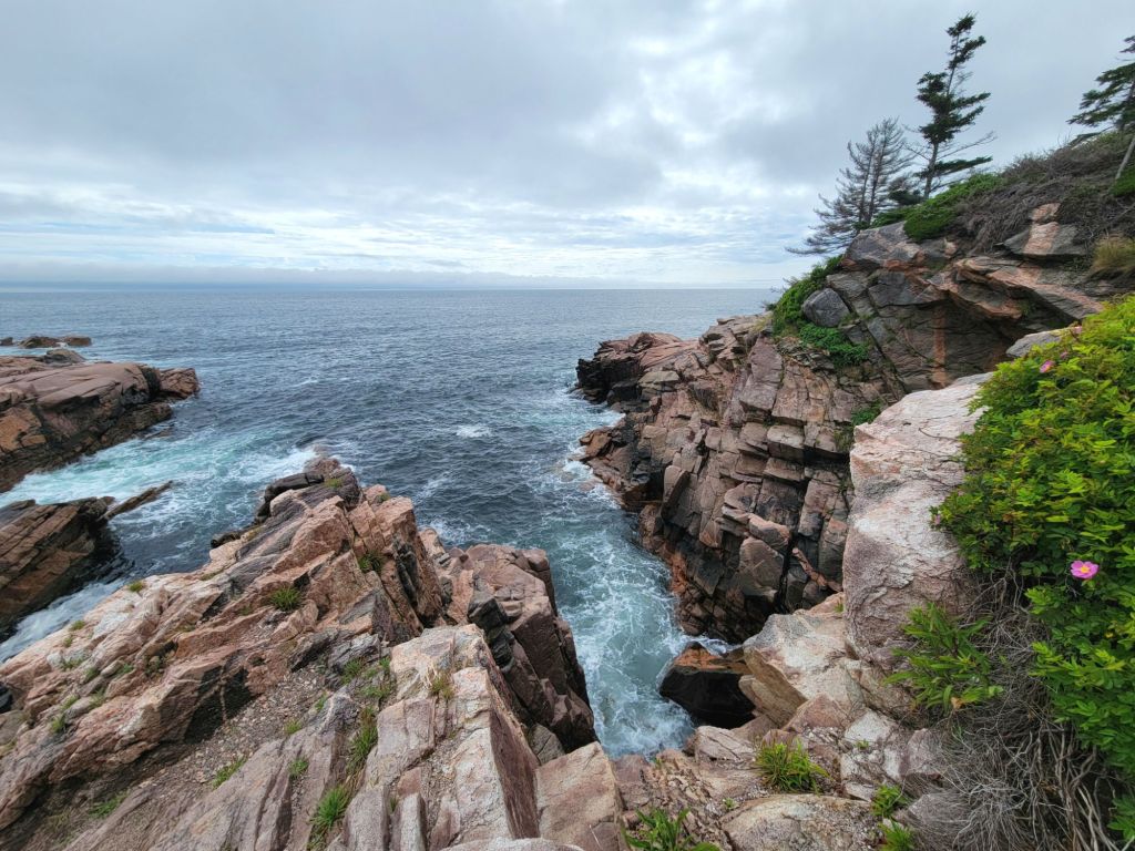
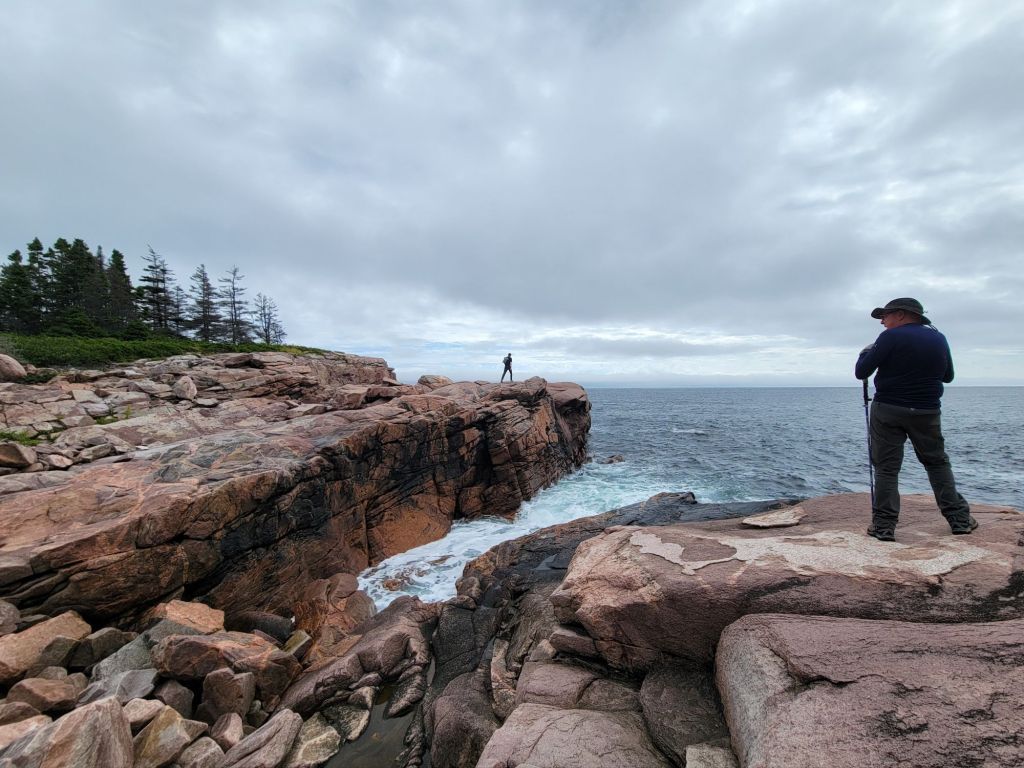
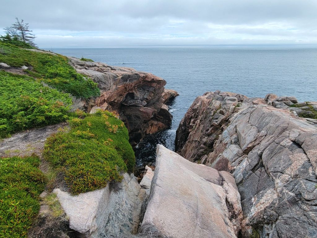
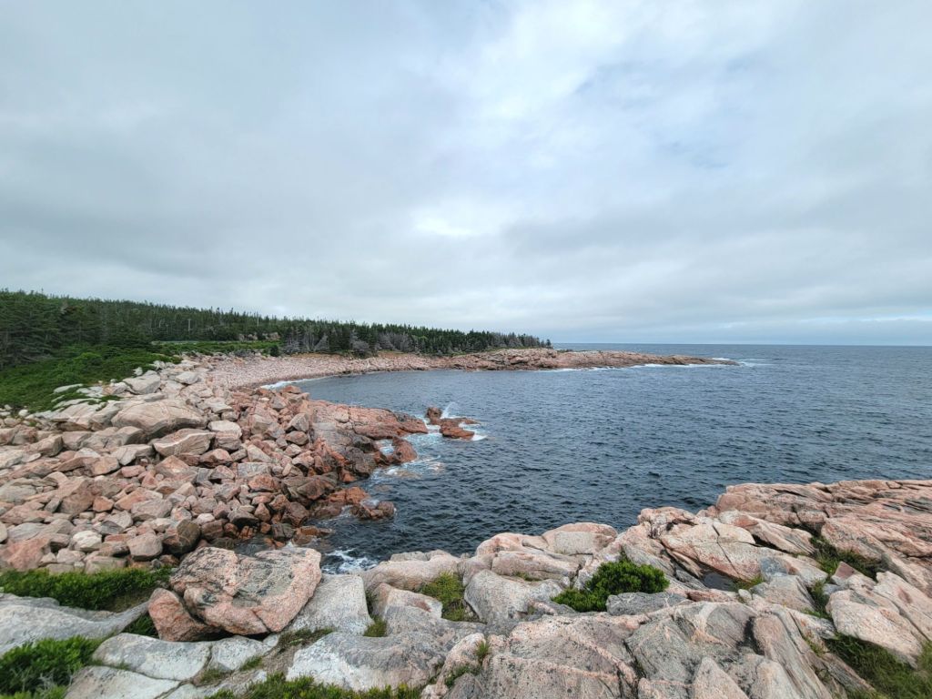
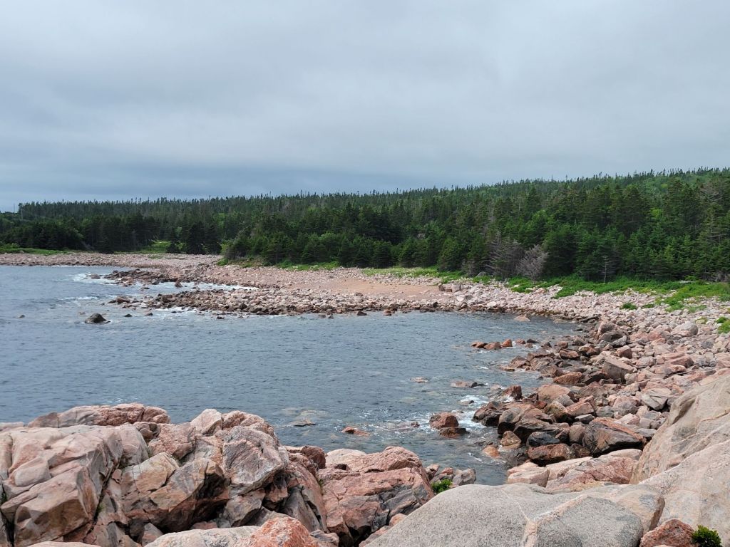
Next we stopped at Green Cove, where we got to see some seals hanging out by the rocks. I’m not going to post a picture of the seals because all you would see is a black dot on the water. But here are some photos of the cove itself.

Those small rocks in the water off to the right are where the seals were hanging out.

At this point we headed back to the camper for a late lunch and a rest.

Mammoth Hot Springs

On Monday, we headed to Mammoth Hot Springs. Since it is a good distance from where we are staying in West Yellowstone, we had another early start.

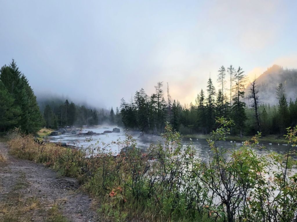
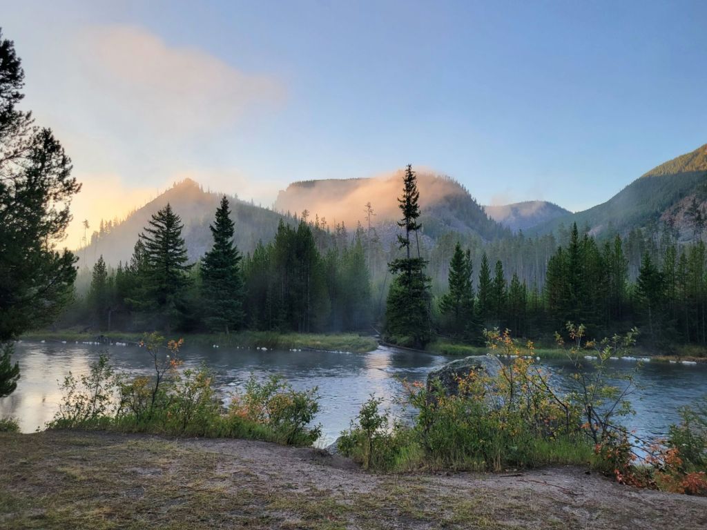
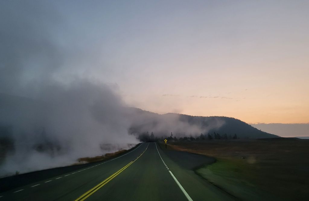
That meant I got to enjoy another foggy morning! Who knew I would find fog so enthralling?
I’m pretty sure that this is fog, but it may have been drifting steam from one of the hot springs in the area.

By the time we arrived in Mammoth Hot Springs, the geography had changed dramatically! It was no less beautiful, though.

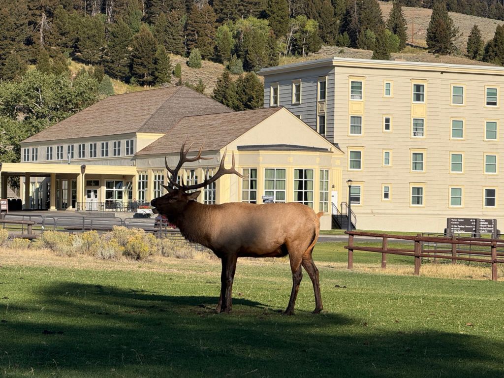
Our first stop was the visitor center. This bull elk was hanging out on the lawn in front of the visitor center, bugling for his does.

When we first arrived, he was lying down. I think he finally got tired of waiting for the does to show up, so he stood up and started hollering for them.

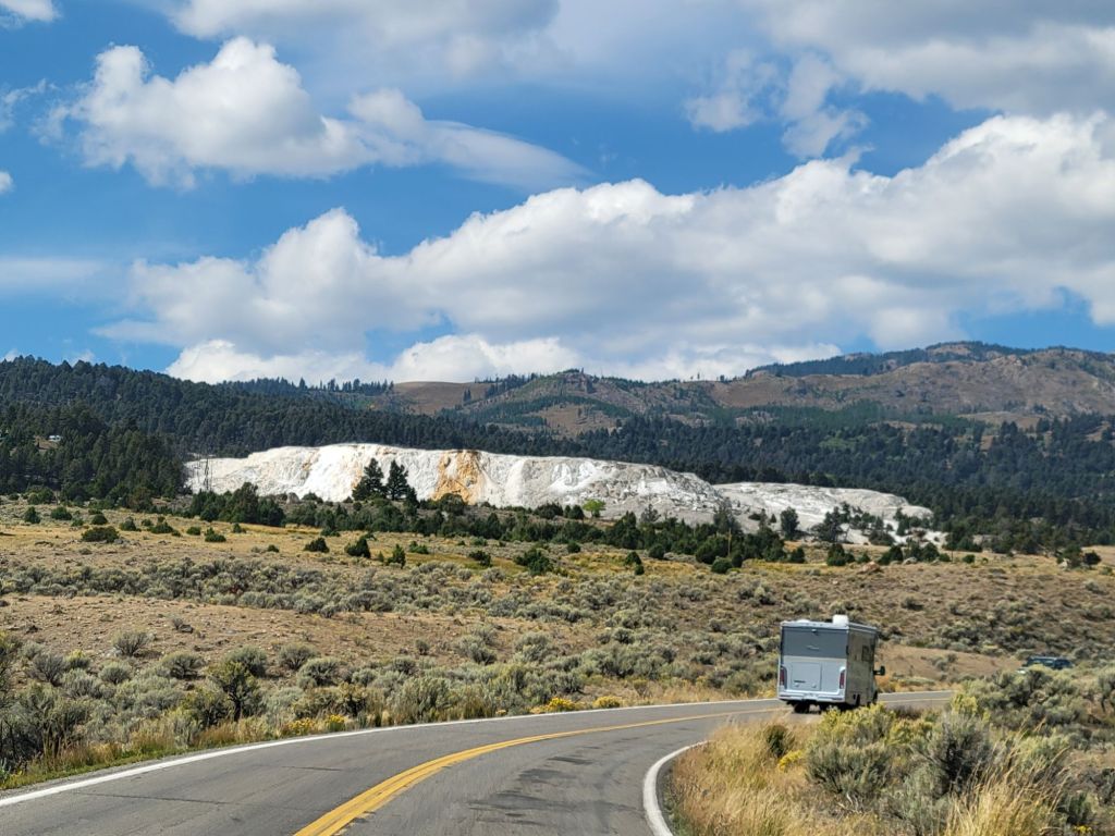
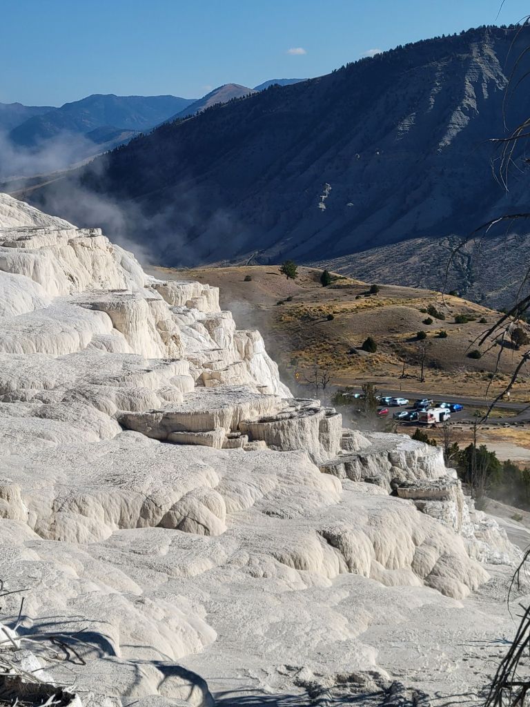
The photo below shows Mammoth Hot Springs from a distance. All that white is siliceous sinter, otherwise known as geyserite. To me, it looks like a mound of dirty snow.

And this is what it looks like close up.

We started by driving through the Upper Terrace before parking the car and walking the boardwalk of the Lower Terrace.

This pile of geyserite is still venting steam, although it is a little hard to see from this photo.

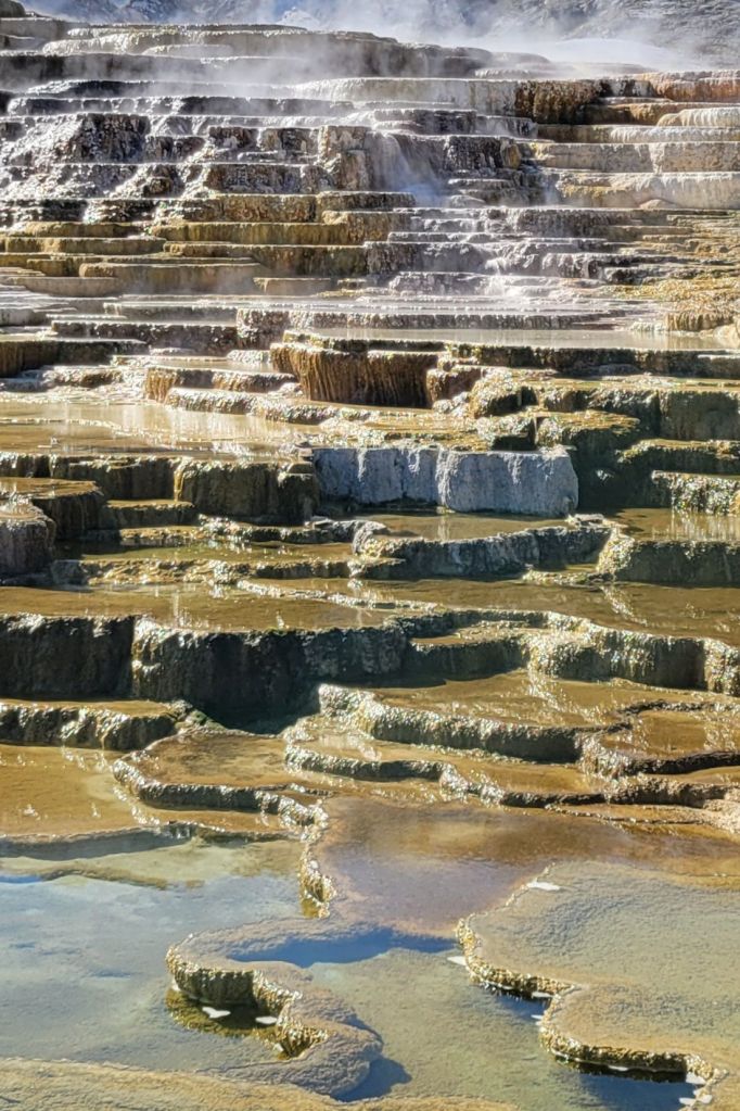
The formation shown in the photo below is what makes Mammoth Hot Springs unique. These are called travertine terraces.

This is what they look like close up.

And from further away.

After leaving Mammoth Hot Springs

We did so much after leaving Mammoth Hot Springs that I’m going to post the photos with captions and leave it at that.

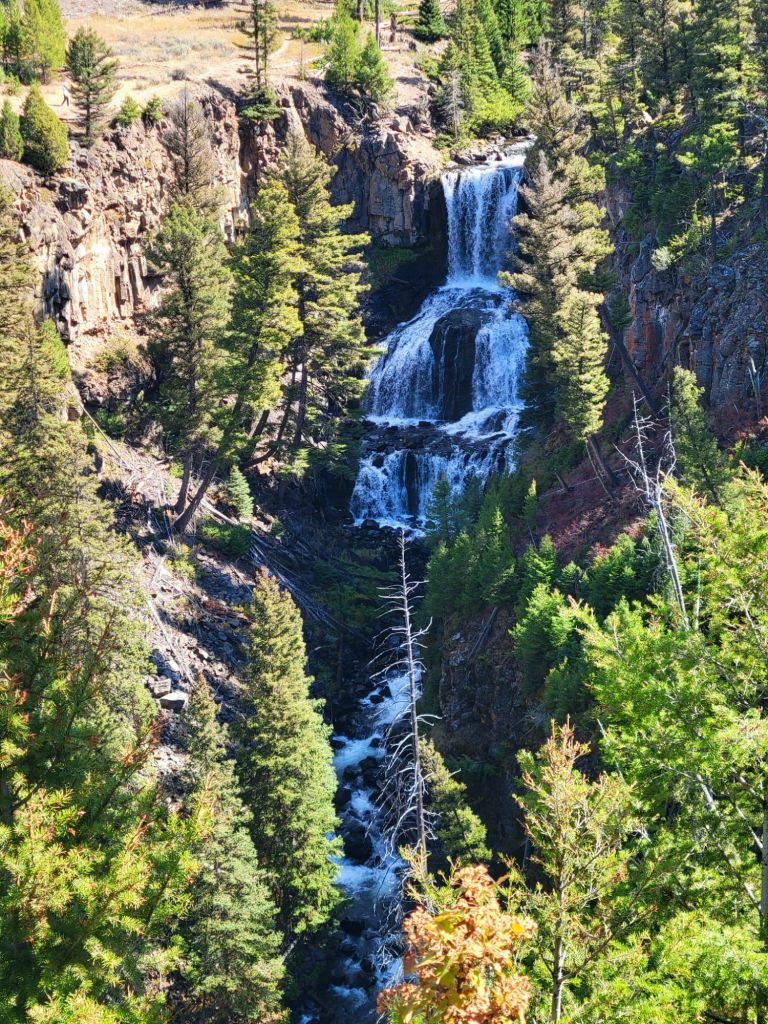
Undine Falls
Another picnic lunch
A hike to Wraith Falls. I enjoyed the 1/2-mile hike significantly more than I enjoyed the falls!
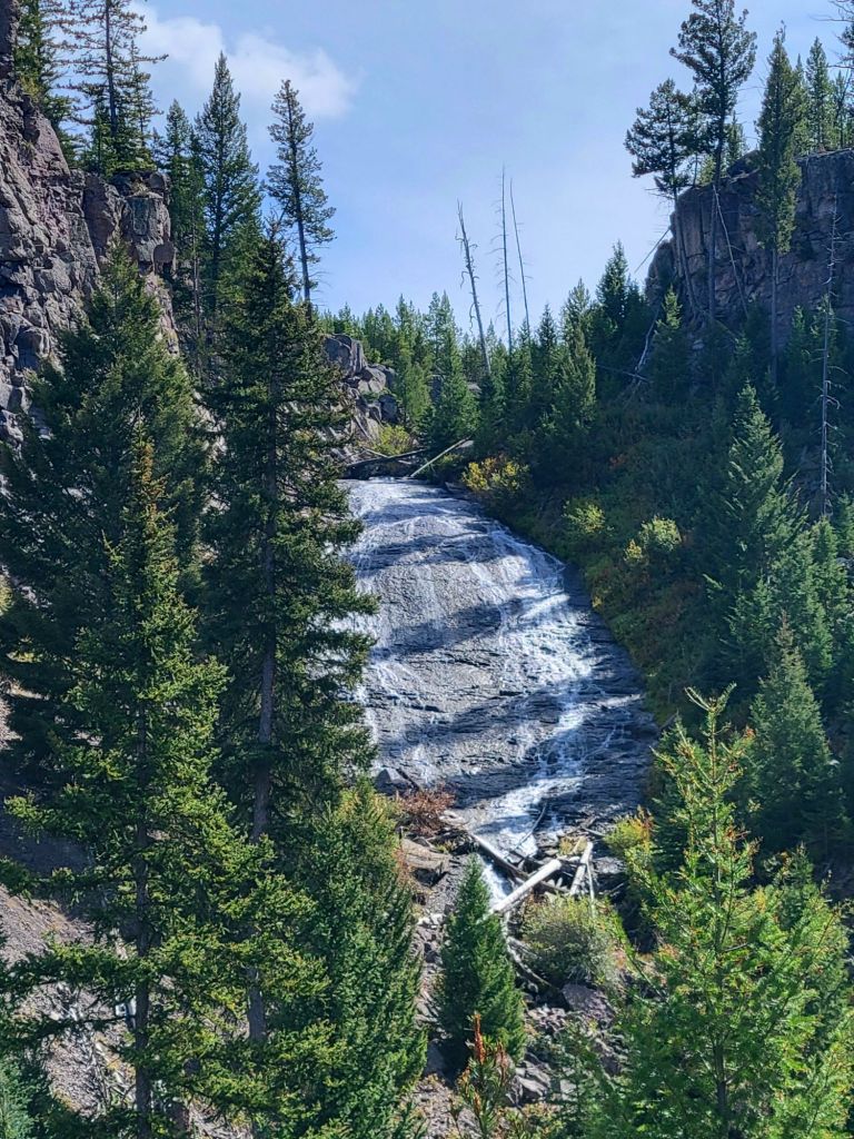
Wraith Falls
The Golden Gate (the names for things here are really weird)
Obsidian Cliff. I have a close-up of the cliff, but I liked this photo better.
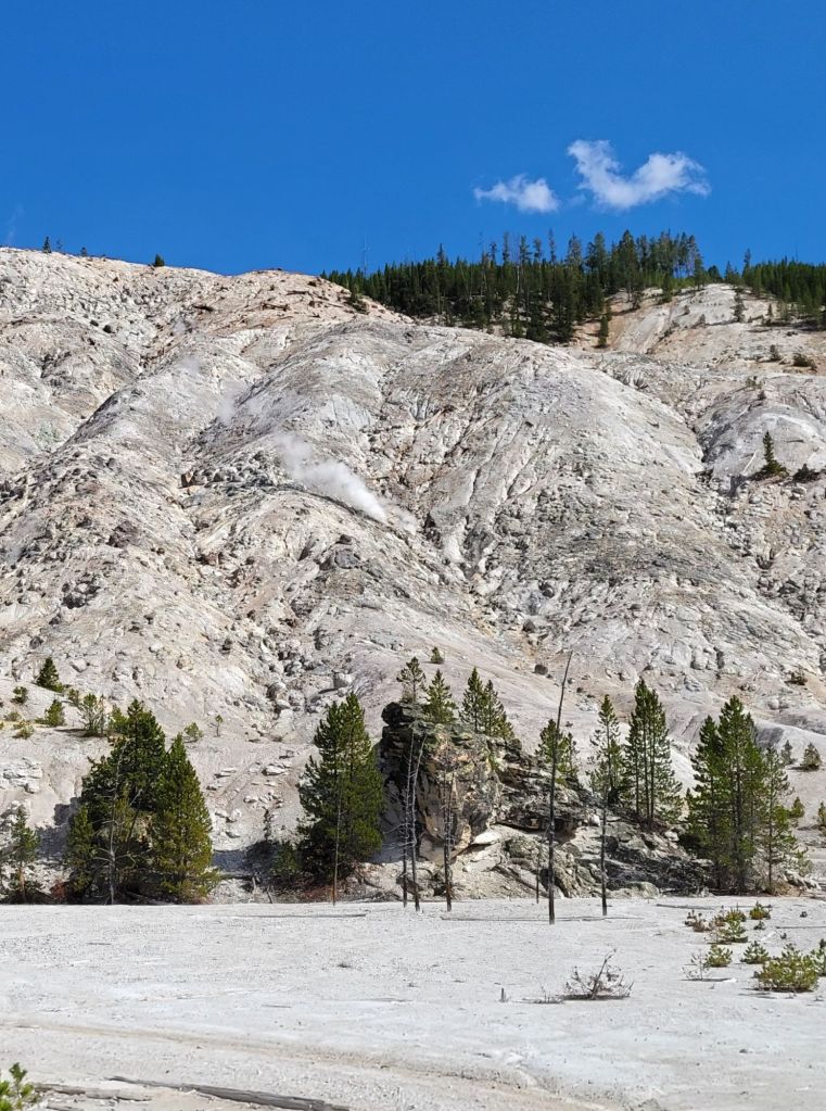
Roaring Mountain. I will never get over geysers and steam vents coming out of mountains.
Terrace Springs. In the morning, the steam rising off the water is an impressive sight.
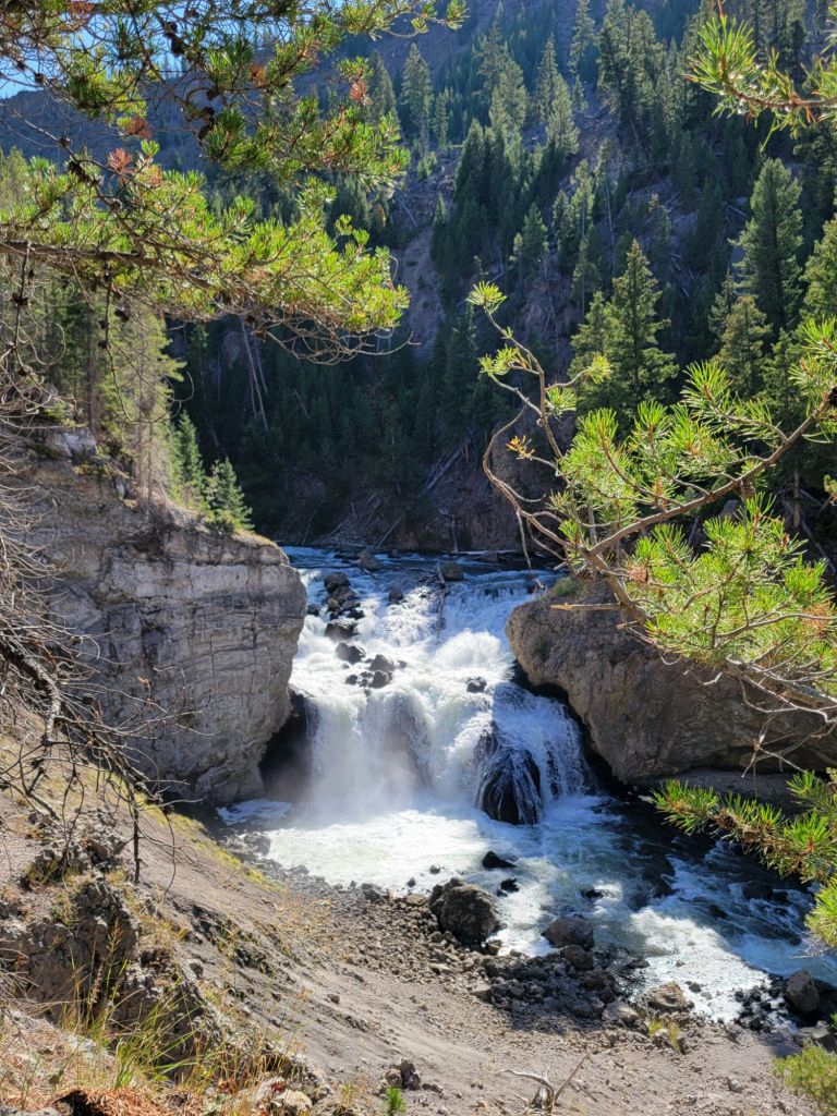
Firehole Falls, accessed via Firehole Canyon Drive.
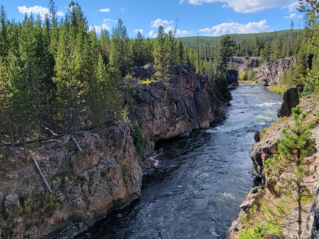
Looking in the other direction from Firehole Falls. (Firehole Canyon Drive had some truly impressive views. Unfortunately, there was no place to pull over and take photos.)
Fountain Paintpots. This geyser was the most active one I’ve seen so far.
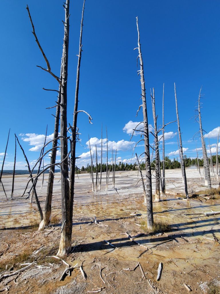
This is what happens to lodgepole pines when they are immersed in the runoff from geysers.

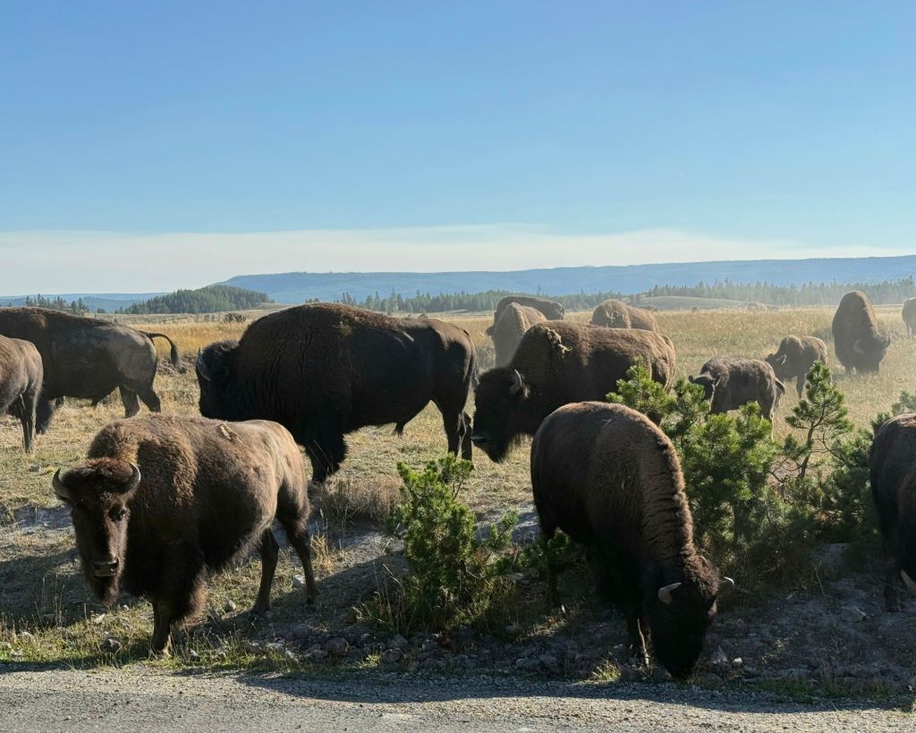
On our way back to the campground, we experienced our first true bison traffic jam. The park rangers eventually showed up to scare the bison off the road.

There’s always at least one idiot in the crowd…

It was a great day, at least for me.

By the time we arrived back at our campsite, Greg’s normal equanimity was experiencing some tatters around the edges. Between the stress of driving on winding narrow mountain roads, walking thousands of steps, and sightseeing, he was exhausted. (I think he has also had his fill of geysers, hot springs, and steam vents to last a lifetime.)

Tuesday will be a less intense day.

Hayden Valley

On Friday I dragged myself out of bed at 4:30 a.m. so that we could head to Hayden Valley at dawn. Apparently, that is the best time to see the wildlife.

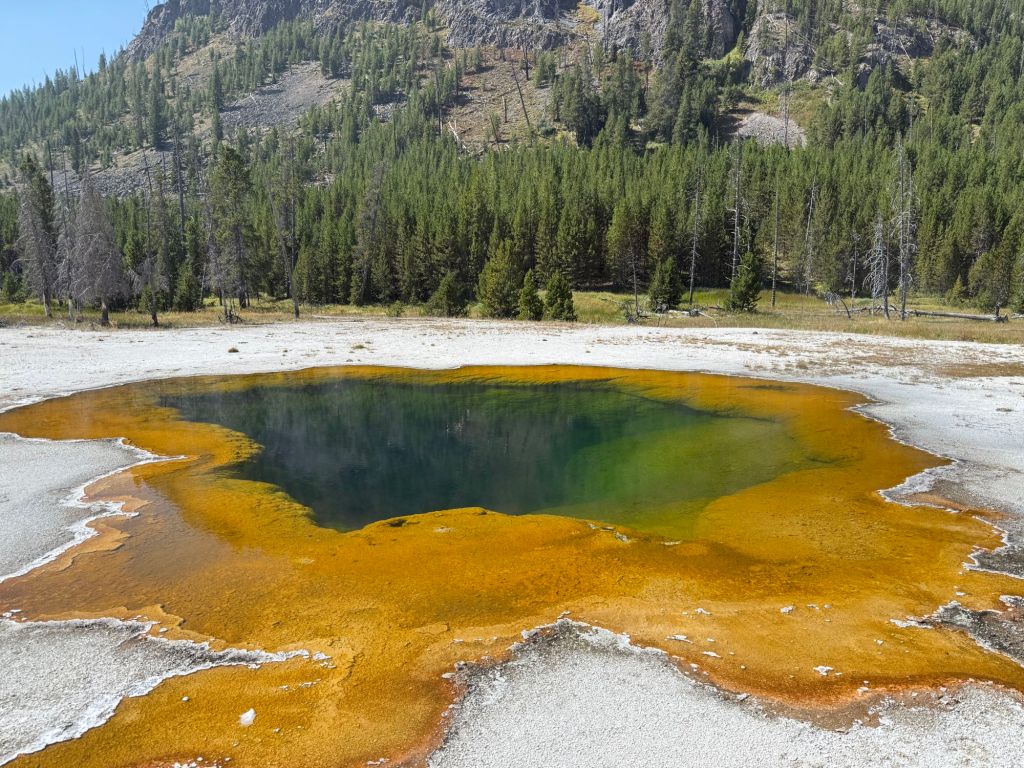
Oh, my, those colors!
I will never get over all of the steam vents everywhere you go here.

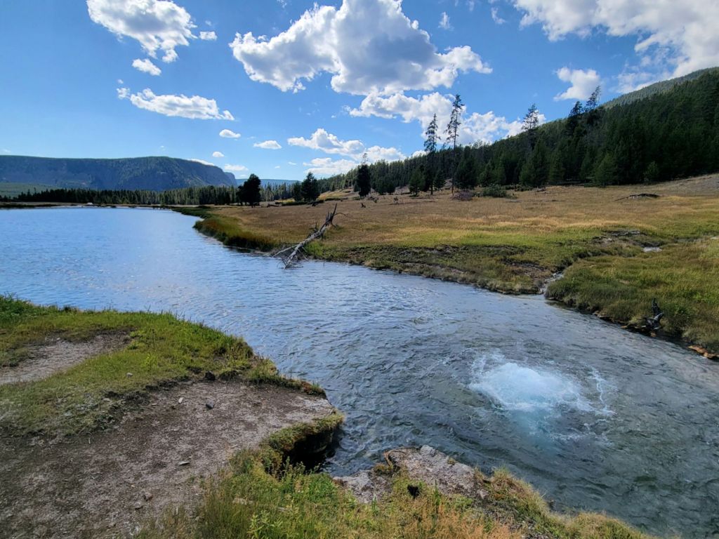
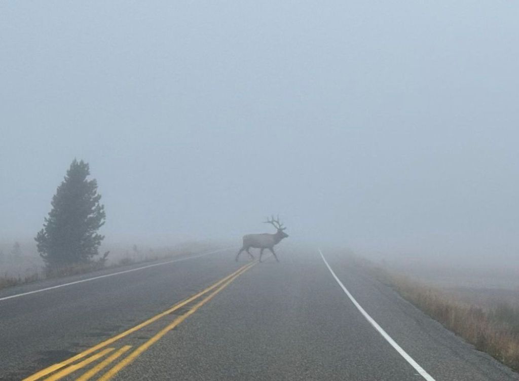
We were very quickly overtaken by fog on our way to Hayden Valley. The air was below 30°, but the land and rivers were still warm.

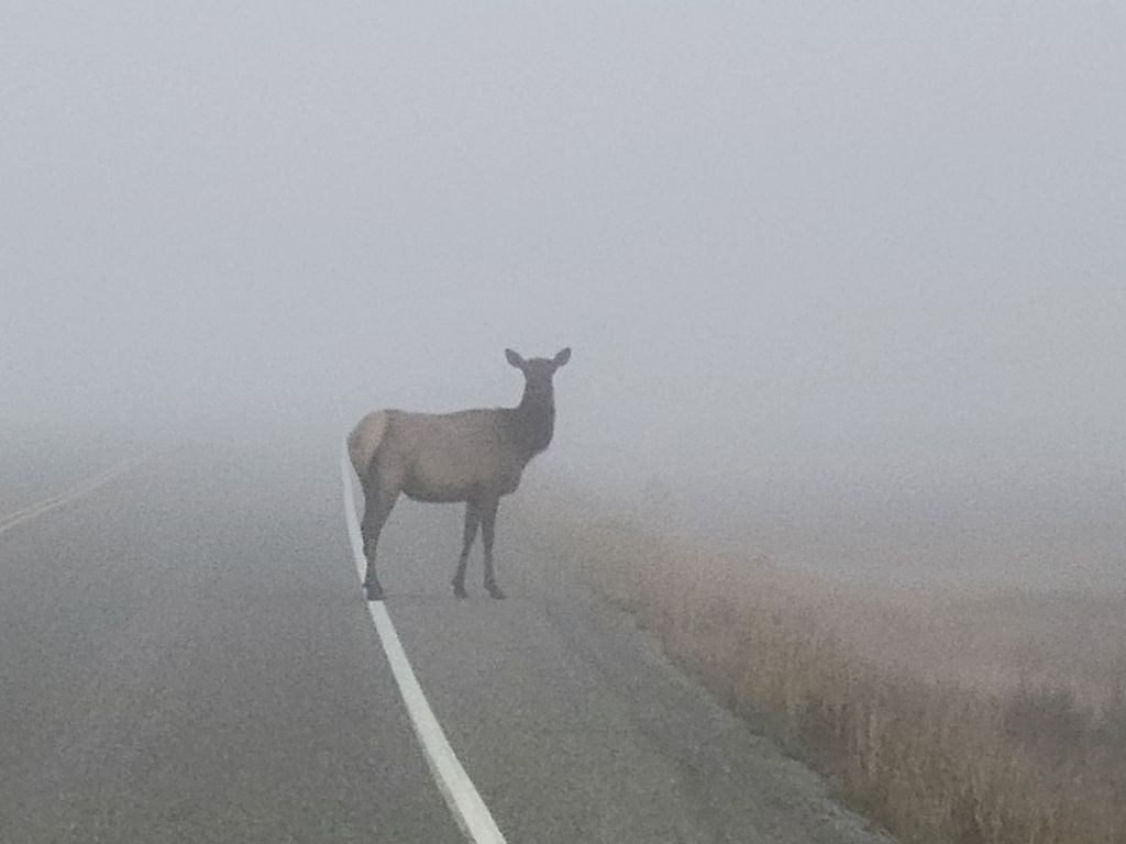
At one point, five elk darted across the road in front of us. This beauty stopped to give me a look.

Greg was lucky enough to capture a photo of the buck. My phone was having trouble focusing because of the fog.

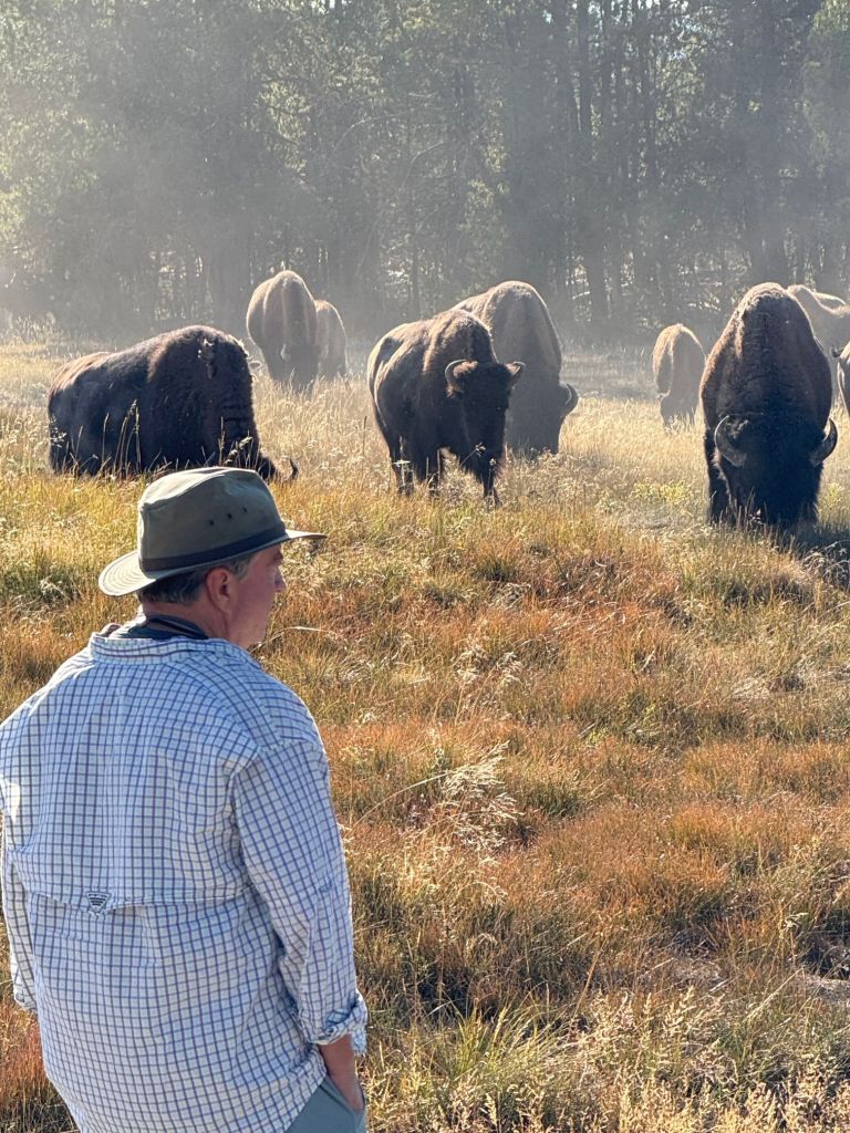
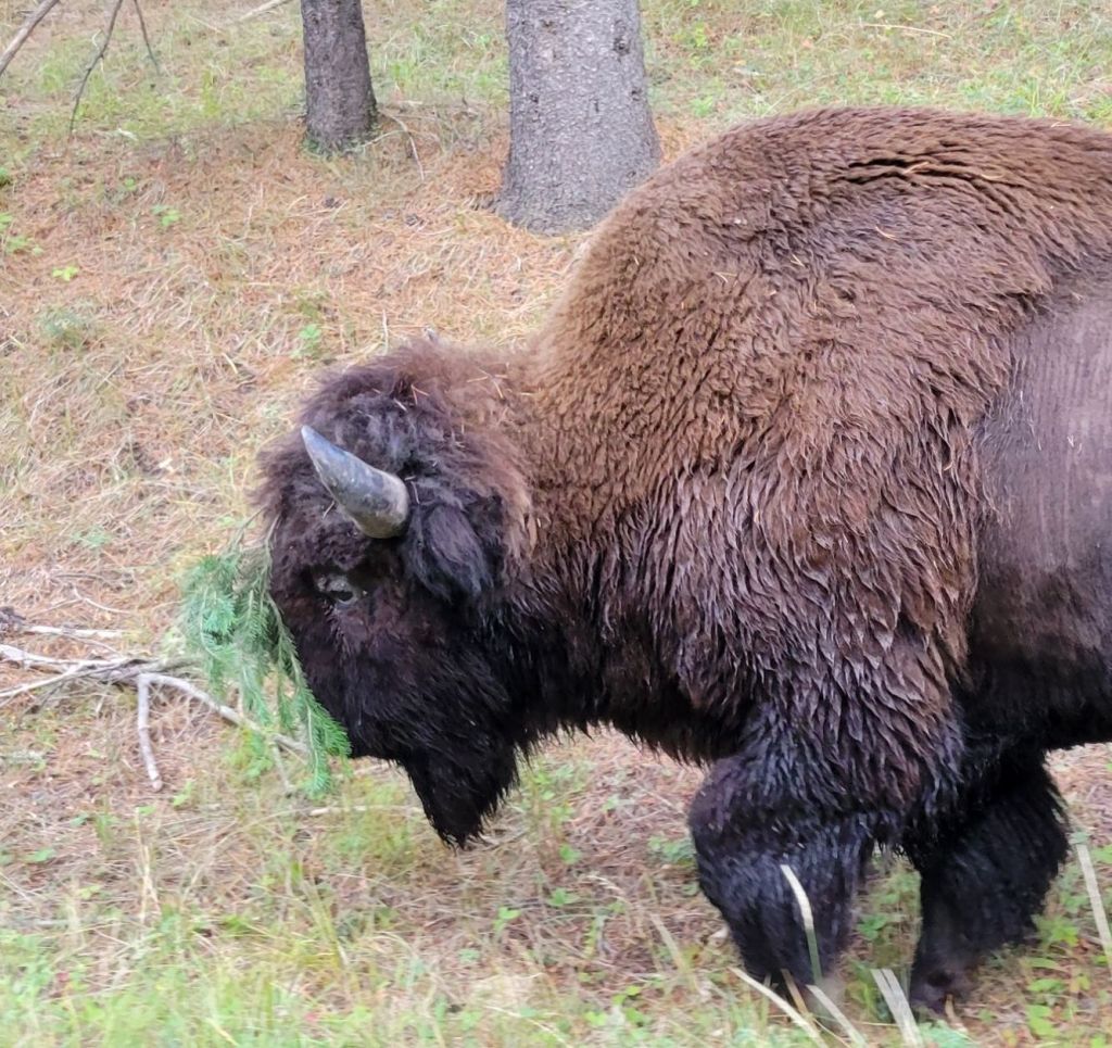
I love the way the bison own the road.

When we drew alongside this guy, we saw that he had a pine branch stuck to his forehead! He seemed completely unbothered by it.

There were plenty of wolf spotters pulled over on the road in Hayden Valley, but Greg and I decided to move on. We were pretty sure it would be nearly impossible to see anything due to the thickness of the fog. We will try to return another day at dusk and see if we have better luck viewing wildlife.

Fishing Bridge Visitor Center

We kept driving and eventually crossed Fishing Bridge and arrived at the visitor center. The exhibits there focused on all of the varieties of birds that live in Yellowstone or pass through during their migrations.

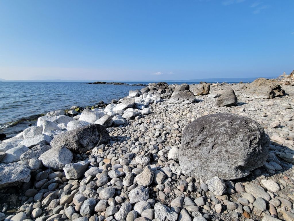
The visitor center is right on the edge of Yellowstone Lake, so we stepped outside to take a look.

The view of the lake from the visitor center is rather boring, so I used this one instead. This photo was taken a little later in the morning from a different location. Yellowstone Lake is the largest lake above 7,000 ft in the country.

Bay Bridge Marina

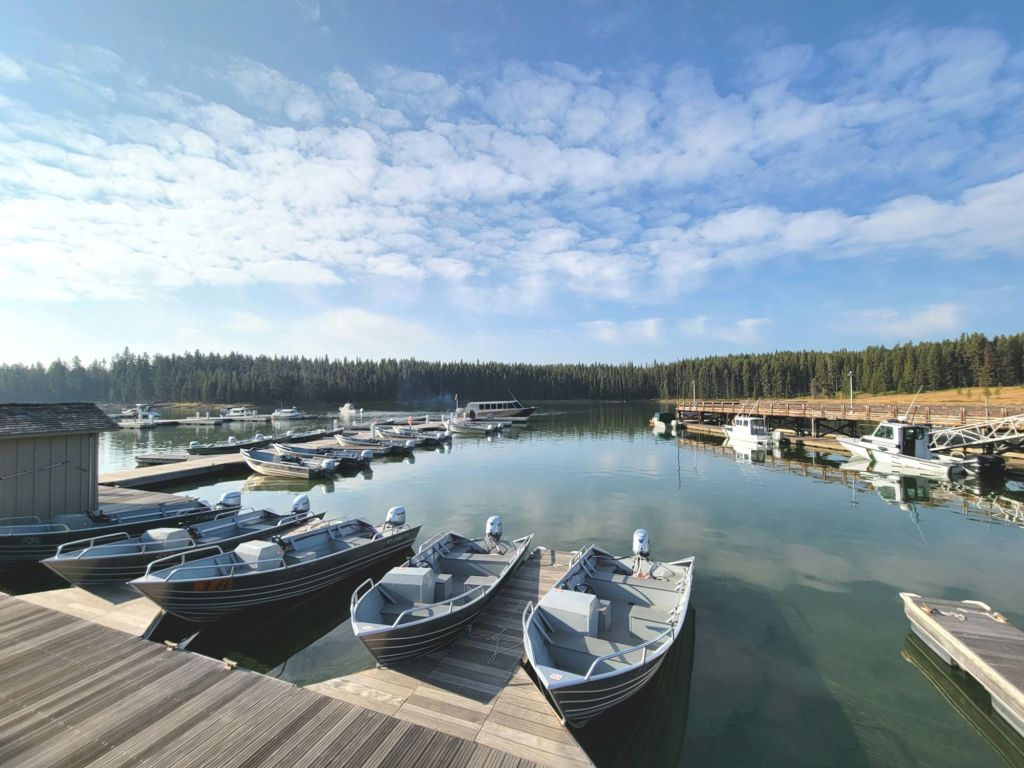
We kept driving and eventually arrived at the Bay Bridge Marina. We went into the office to ask for information about fishing, boat inspections, and boat tours. (If we want to do any kayaking while we are here, we need to get the kayak inspected first.)

I’m hoping that we can take a boat tour of Yellowstone Lake sometime in the coming week.

We were going to hike the Natural Bridge Trail, but we were the only ones there, and we were in grizzly country at this point. I chickened out.

The sign warning about bears recommended traveling in groups of three or more. That was enough for me!

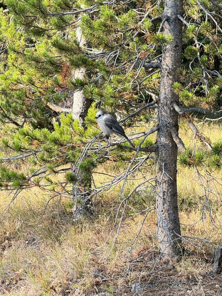
But while we were standing at the trailhead and debating on the hike, we saw this little fellow. I have no idea what kind of bird it is, but it was beautiful.

West Thumb Geyer Basin

We kept driving and arrived at West Thumb Geyser Basin. This is another thermally active spot in Yellowstone, right on the edge of Yellowstone Lake. In fact, some of the steam vents and geysers are under the water.

Yellowstone Lake is extremely cold, but this is one area where the water is warm.
It was weird to be walking along the edge of the lake with the lake on one side and hot springs and steam vents on the other.

On our way out of this area, we stopped at the Grant Village General Store to pick up some lunch. I had made peanut butter and jelly sandwiches for us, but I forgot them in the refrigerator in my rush to get out in the morning.

Continental Divide

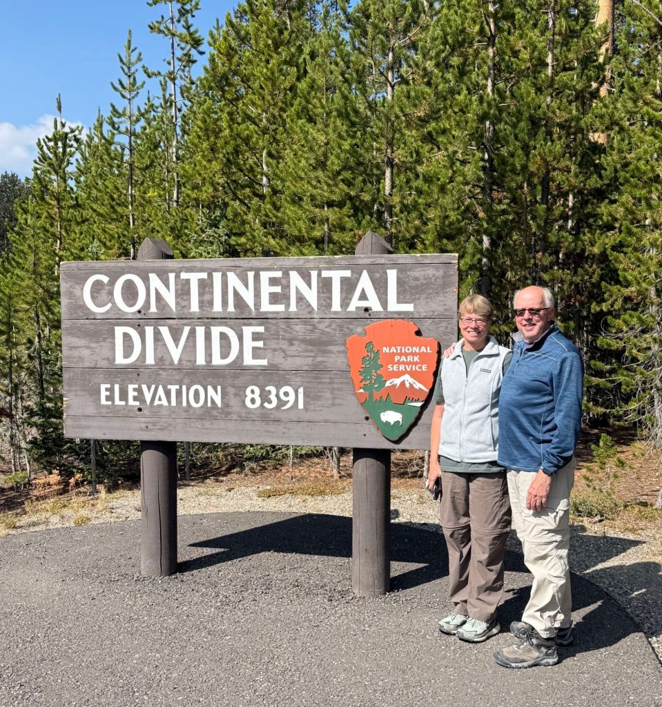
As we headed in the direction of Old Faithful, we crossed the Continental Divide. Twice.

There were a bunch of people stopped here to take pictures. Everyone was taking pictures of each other.

One of the fun things about being here has been meeting folks from all over the country.

Interestingly, we have met no one else from Pennsylvania. Most of the people seem to be from west of the Mississippi. We have seen more Canadian license plates than East Coast ones!

Kepler Cascades

Next up was the Kepler Cascades. This is another location where the photos will not do it justice.

Black Sand Basin

Black Sand Basin was a delight. I think it may have been the most active thermal location we’ve seen so far, and one of my favorites, second only to Porcelain Basin.

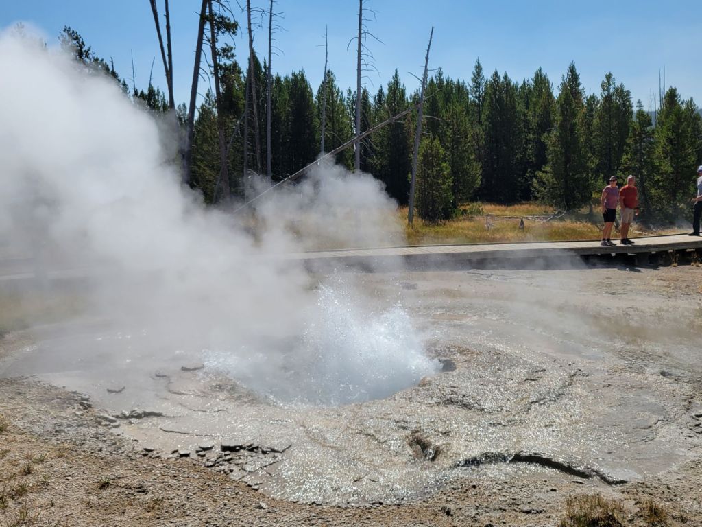
Between the hot springs with their boiling water and the constant geyser eruptions, it was awesome.

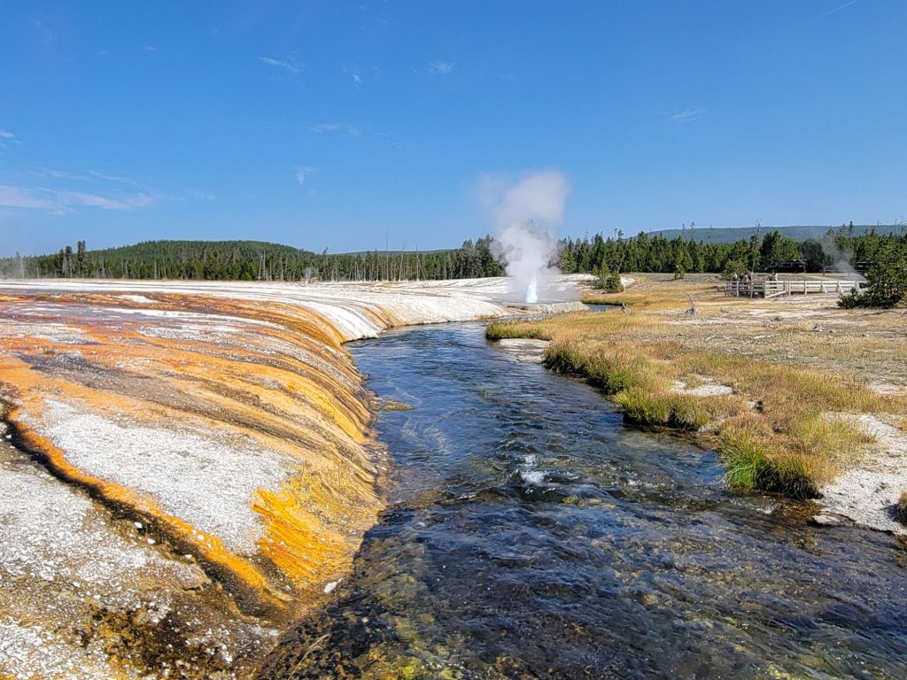
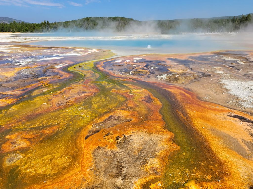
That geyser in the distance erupted every few minutes. And look at those gorgeous bacterial mats flowing into the creek!
Looking into the depths of a hot spring pool was an eerie experience. You could see the stone walls, but the pool seemed to have no bottom.
Sometimes the bacterial mats were so colorful that they reminded me of an abstract painting.

The smell of sulfur permeates the air here. Even when there is no evidence of thermal activity, you can still smell the sulfur. At times, it is so strong that I get nauseated.

Grand Prismatic

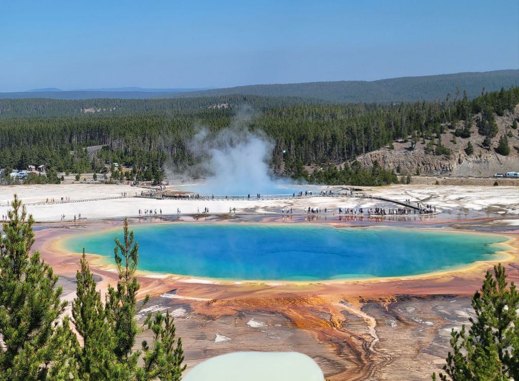
We arrived at Grand Prismatic in the afternoon, which is the best time to view it. Any earlier, and the steam rising off the surface obscures the colors. We walked the Grand Prismatic Overlook Trail so that we could see it from above.

Needless to say, it did not disappoint! Looking at all of the people standing around its edge gives you a good idea of how giant it is.

Fairy Falls

The Grand Prismatic Overlook Trail led us to the Fairy Falls Trail.

By this point, Greg and I had already done a lot of walking that day, and we were tired (an understatement if ever there was one!).

The Fairy Falls Trail was long and boring. It also made me nervous because I did not want to encounter a bear.

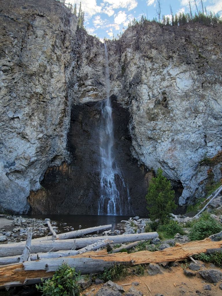
But this lovely falls was the reward!

Greg and I walked over 8 miles this day. By the time we got back to the campground, we were zombies. By mutual agreement, we decided to give ourselves the weekend to rest.