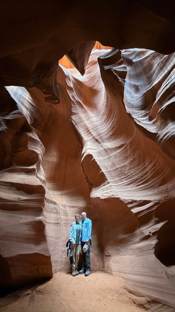
Our tour of Lower Antelope Canyon was canceled on Sunday due to flooding, but we were able to reschedule for Monday.
We had an amazing time. Our guide, a young Native American woman named Jo, was wonderful. She was cheery, relaxed, patient, and everything you could want in a guide. Informative, too.
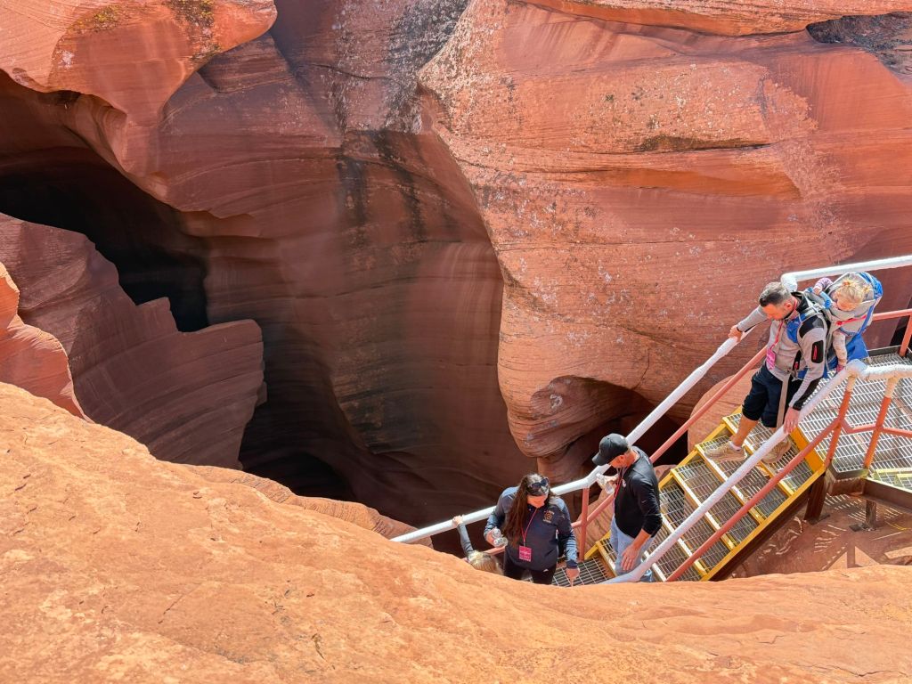
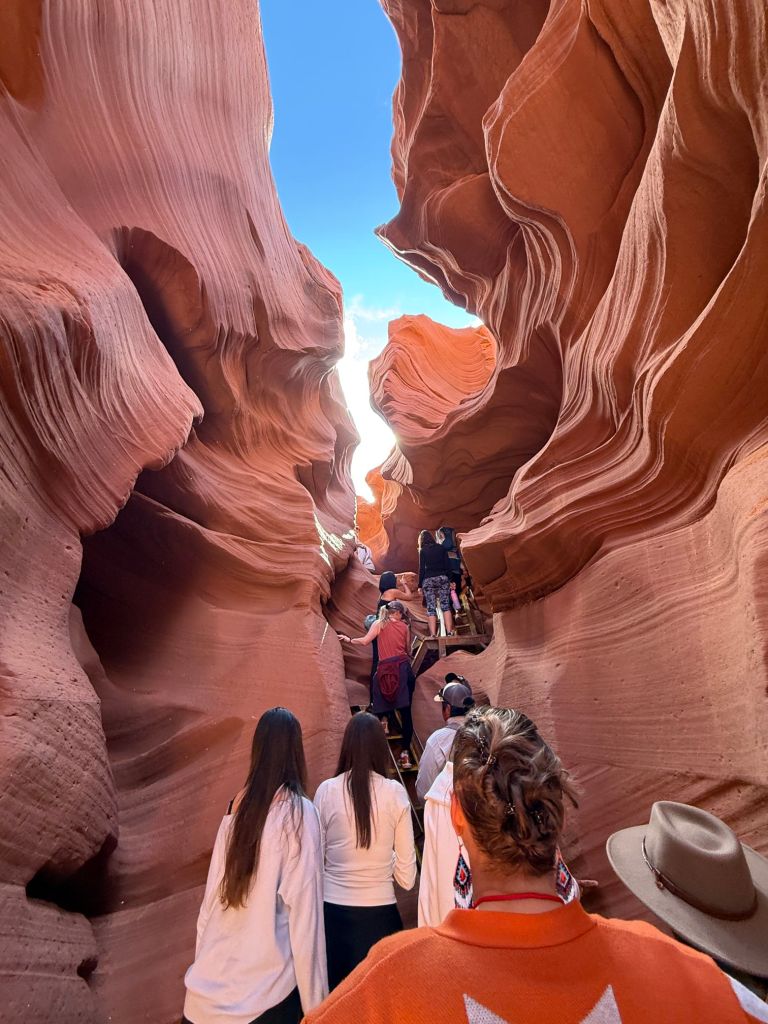
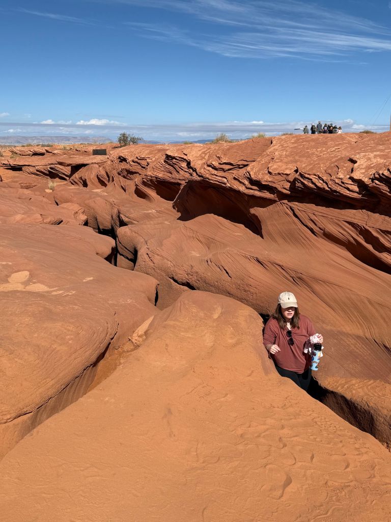
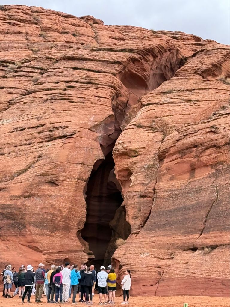
Entering the canyon.
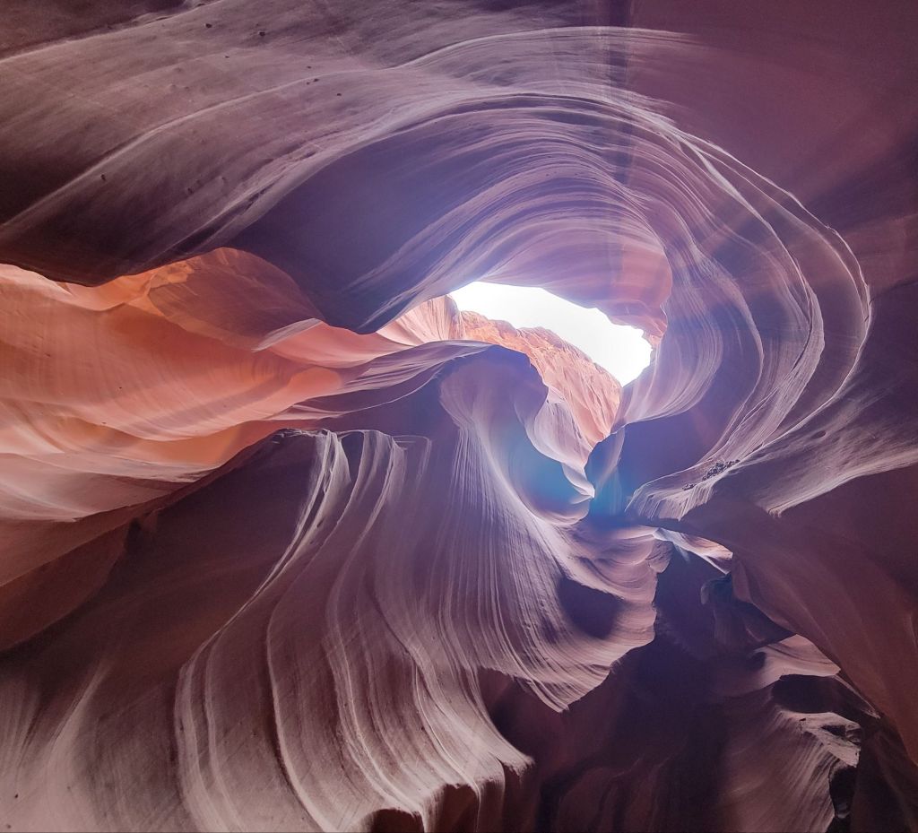
Lower Antelope Canyon is quite different from Upper Antelope Canyon.
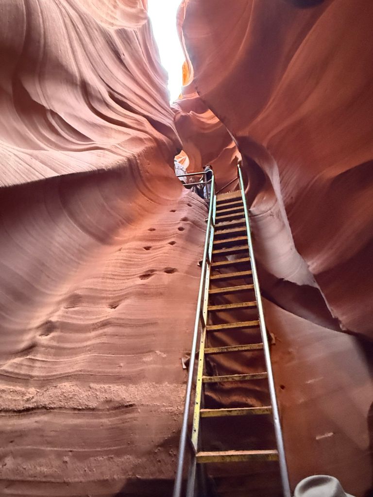
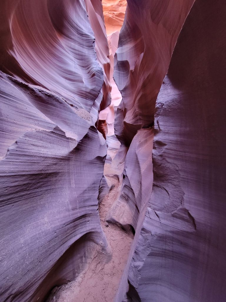
First of all, we walked to the entrance of Lower Antelope Canyon rather than drove. Second, Lower Antelope Canyon involved climbing up and down ladders, both to get into and out of the canyon as well as while we were walking through it. And whereas the floor of Upper Antelope Canyon was fairly wide, the passageways of Lower Antelope Canyon were much tighter.
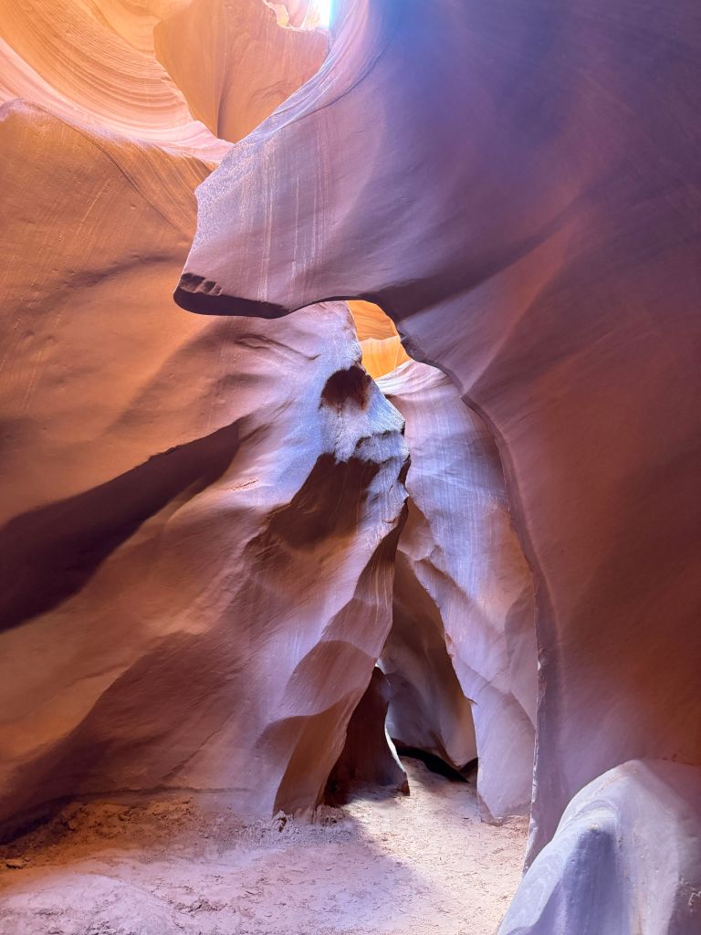
The toe holes in the rock face on the left are how people used to climb this wall. They would use the toe holes and pull themselves up with a rope.The man and child in the photo above were foreign tourists. Greg and I never did figure out what language they were speaking.Can you see the face of the Indian woman with her hair blowing back in the photo above?None of these photos were edited. I don’t know how we got such beautiful colors.This photo (above) shows how narrow and maze-like much of the canyon was.Can you see the face of the Indian chieftain in the rock on the left?To get out of the canyon, we had to climb a set of stairs. This is what the slot canyon looked like from outside.
After our tour of Lower Antelope Canyon, we headed back to the campground and relaxed for the rest of the day. (Well, aside from one quick trip to the grocery store.)
There is so much more we could have done while we were staying in Page, but it was really nice to just relax around our campsite much of the time.
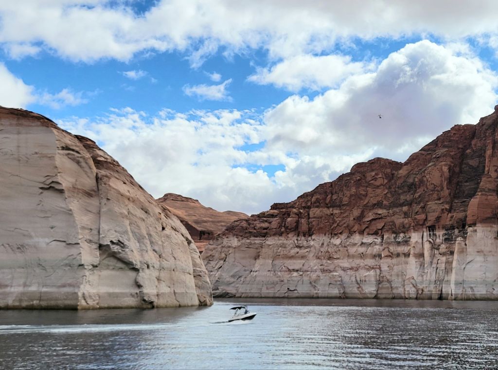
We have really lucked out with the weather on this trip. The forecast called for showers the morning of our Navajo Canyon boat tour, but the sun was out, and the temperature was perfect.
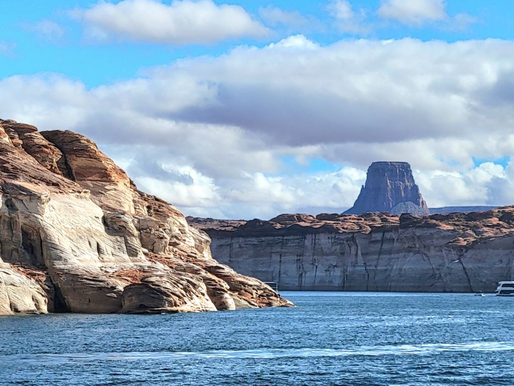
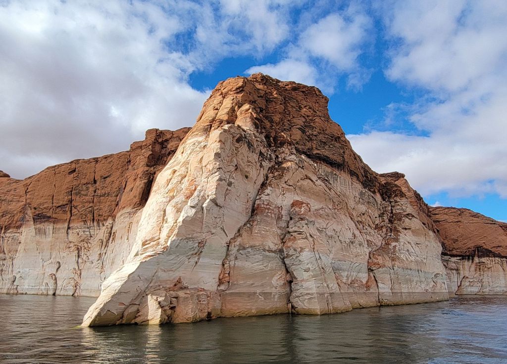
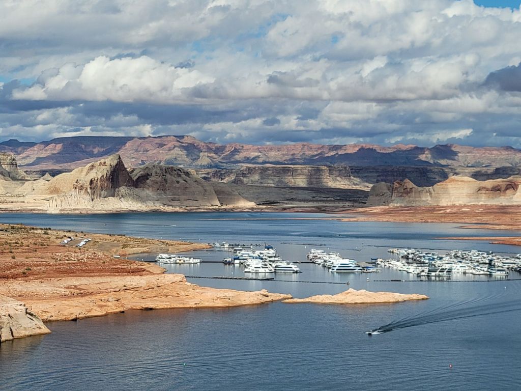
That is Tower Butte in the distance. You can take a helicopter ride and land on the top, which gives you a 360° view of the surrounding area.Navajo Canyon The Navajo Tapestry. If you look carefully, you can see animals and Native American chieftains in the patterns on the rock face.We were told that the white rock and the red rock are the same type of rock. However, the white rock has been calcified by the water. Where white changes over to red is the demarcation line of where the water level used to be.Heading back to Wahweap Marina, which you can see in the distance.
Lunch at Wahweap Resort and Marina
After returning from our tour of Navajo Canyon, we had lunch at the resort. It was very good!
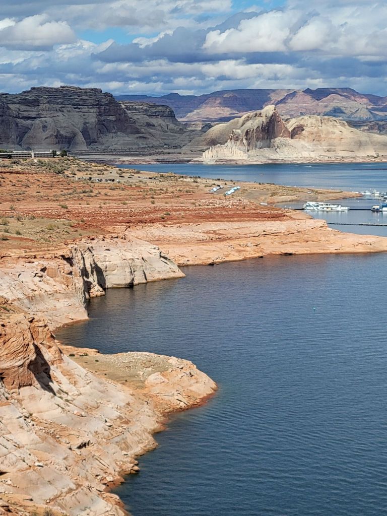
Wahweap Overlook
On our way back to the campground after lunch, we stopped at the Wahweap Overlook.
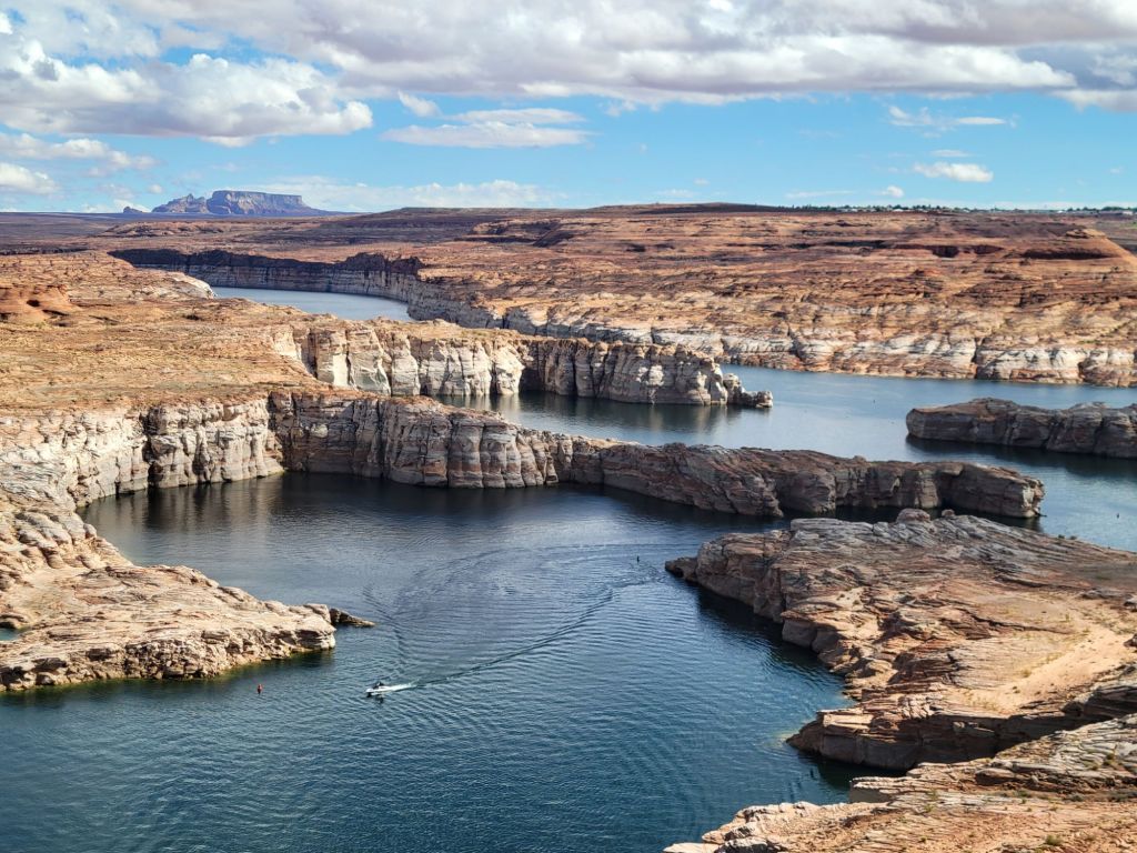
Other scenic overlooks
Since we had the time, we stopped at the other overlooks along the way. Lake Powell is basically a wide section of the Colorado River created by the Glen Canyon Dam. It has more than 96 water-filled side canyons, of which Navajo Canyon and Antelope Canyon are two.
Scenic Drive
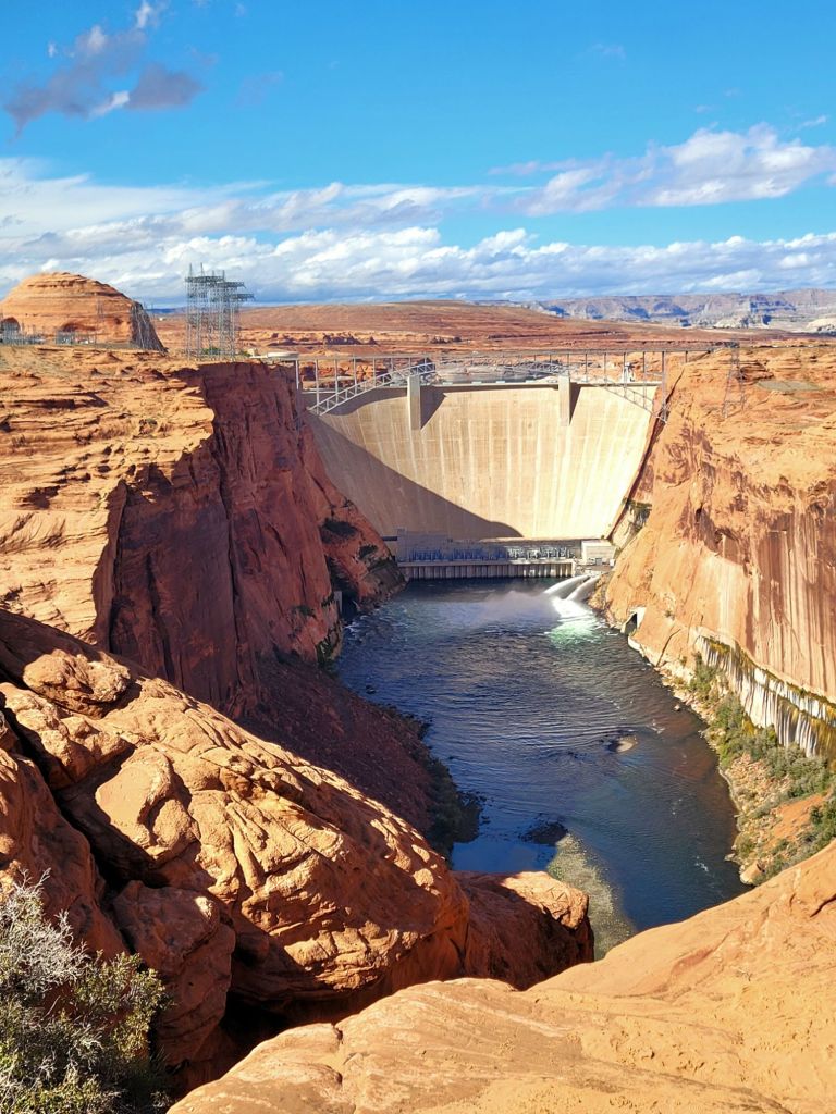
Next, we took the short Scenic Drive, which provided an overlook of the Glen Canyon Dam and the Colorado River.
Despite cloudy skies, the rain held off the morning of our tour of Upper Antelope Canyon.
I can’t say that I particularly enjoyed the tour. I didn’t expect so many people to be there, and our tour guide was rather grumpy.
All of the tours in this area are run by Native Americans.
I’m coming to the conclusion that Native Americans are a taciturn bunch in general. I don’t know whether it is a cultural thing (similar to how Rhode Islanders feel about outsiders) or whether it is bitterness over how they have been treated historically by white people.
Either way, I get the distinct impression that they hold tourists in poorly contained contempt. In all fairness to them, though, whenever someone showed interest in their culture and history, they became much more friendly and open.
It was virtually impossible to get photos without other people in them during our tour.
Since we were hurried through the canyon like an assembly line, and our guide got annoyed when people held up the line to take photos, I gave up worrying about photos shortly after the tour started.
The tour guide took this photo for another one of the tourists. I asked her if she could share it with me, which she happily agreed to do. Notice the heart shape that the rock makes.
At first, our tour guide did not want to take photos for people. He said that he was technically not allowed to touch other people’s cameras. Eventually, he relented and began acting as group photographer.
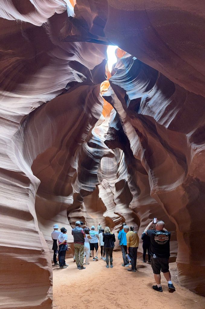
Upper Antelope Slot Canyon was truly beautiful. The flow of the rock face was unlike anything I’ve ever seen before.
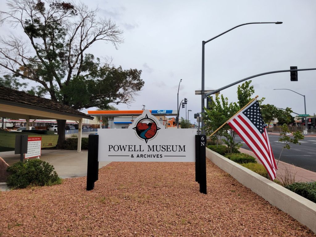
Powell Museum and Archives
Since the weather forecast predicted rain, we headed to Powell Museum and Archives next.
The docent was a native of Page and clearly enjoyed sharing his knowledge with visitors. I enjoyed talking to him.
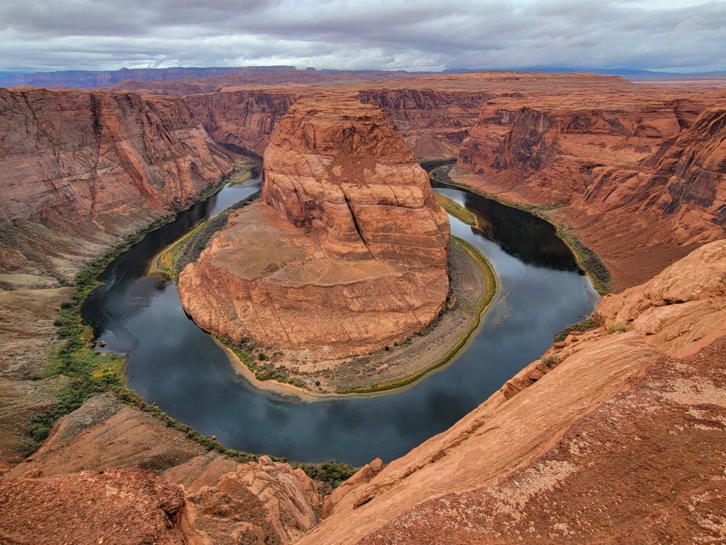
Horseshoe Bend…again!
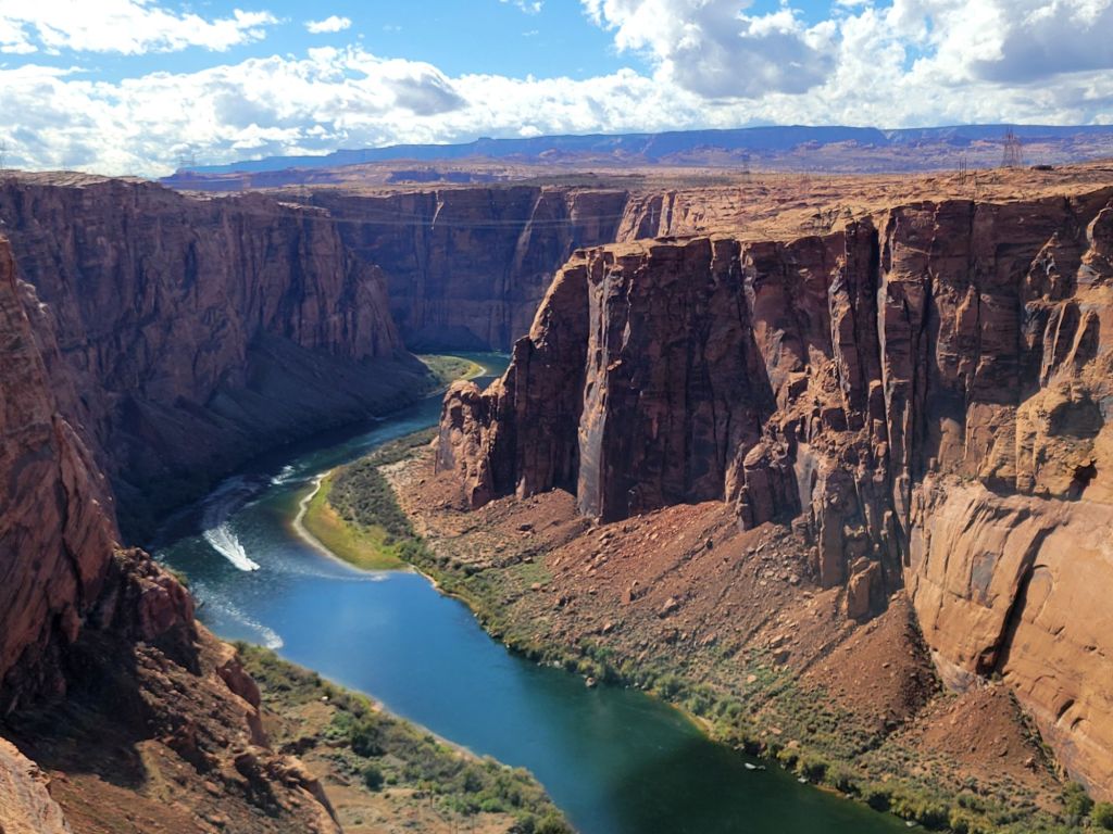
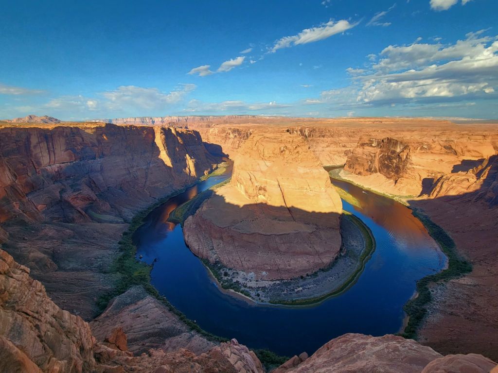
Since it was a cloudy day, we decided to stop by Horseshoe Bend again and see if we could get better pictures than we had the day before.
I would love to take a boat ride through Horseshoe Bend before we head to the Grand Canyon, but I don’t know if it will happen.
Our next stop after Arches and Canyonlands was supposed to be Mesa Verde. We even had a tour of the Cliff House scheduled.
Sadly, the government shutdown nixed those plans. Mesa Verde is closed.
We decided to drop Mesa Verde and Monument Valley off of our itinerary and head straight to Page, Arizona.
Of course, that meant that the tours of Upper and Lower Antelope Canyon had to be rescheduled.
The only time we were able to schedule a tour of Upper Antelope Canyon was Friday morning, when the weather forecast was predicting that we would be experiencing the height of Tropical Storm Priscilla. We went ahead and booked the tour anyway. Time will tell whether we get to go on it.
Horseshoe Bend
We decided to visit Horseshoe Bend early this morning. What we didn’t realize is that the sun rises an hour earlier in Page than it did in Moab, so by the time we arrived at the parking lot for Horseshoe Bend, the sun was annoyingly high in the sky.
Oh, well. We will have other opportunities to visit it at better times of the day. We are only 15 minutes away.
This was the best photo I could get, considering the position of the sun.
Glen Canyon Dam
Next up was a stop at Glen Canyon Dam.
Once again, the government shutdown interfered with our plans. The Carl Hayden Visitor Center was closed.
However, we were able to access the overlook behind the visitor center. We were not able to walk across the dam, which I had been hoping we could do.
Antelope Canyon boat tour
Today was the last hot day we will have in Page, so I was eager to get on the water and experience Lake Powell.
The marina where we are staying offers boat tours, so after visiting Glen Canyon Dam, we headed over there to book one for the afternoon.
We had been told by someone who lives in Page that the storm was due to arrive around 5:00 p.m., so we figured we would be safe as long as we got our boat tour in before then.
Wrong!
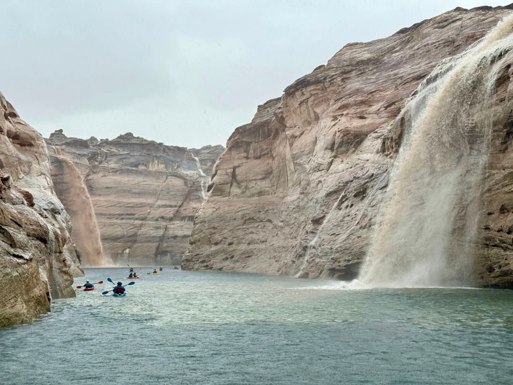
No sooner had the boat left the dock than the heavens opened up.
Lightning flashed. Thunder cracked. We were hit by a deluge of rain.
I was sure the tour boat captain would immediately turn around and head back to the dock, but all she did was advise us not to touch the metal railings on the boat.
It turned out to be a great tour, despite the fact that our tour guide wasn’t able to deliver her spiel because the sound of the rain hitting the metal roof of the boat was too loud.
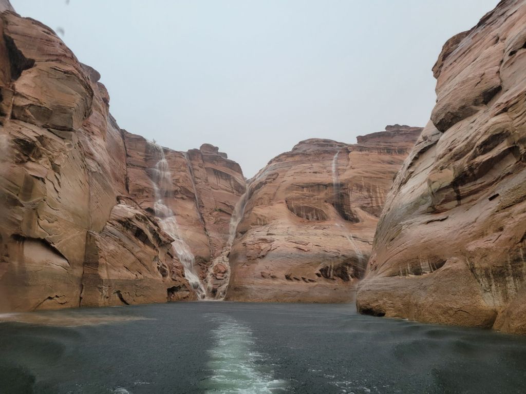
Look at those waterfalls! They are solely due to the amount of rain that was falling.
When we got back to the marina, we had to wait about half an hour for maintenance workers to clear the rocks and debris off the road from the flooding before we were able to head back to the parking lot.
I feel like we made the most of the day, in spite of the impediments put in our way.
This morning I hauled myself out of bed at 5:00 a.m. so that we could drive to Canyonlands National Park to see the sun rise through Mesa Arch.
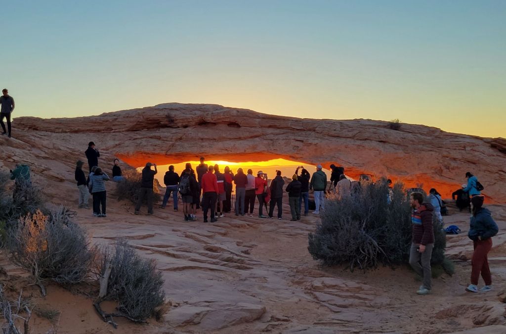
Our first clue that this plan might go awry was the packed parking lot when we arrived. After walking the short trail to the arch, this is what greeted us:
To say that I was disappointed would be a vast understatement.
Not only was the arch crowded with people, but they were all simply standing in front of the arch chatting with one another.
There was no way to get close to the arch, much less take a photo. And no one showed the slightest inclination to step aside for those of us who might like a photo without strangers in it. I confess that I may have experienced a significant degree of rage.
One guy had a tripod set up in front of the arch, taking a video of the sun rising. It was impossible to get a photo without having that tripod in the frame. I was so tempted to give it a little push right into the canyon! 🤬
I was also tempted to stand behind them with my cell phone at the ready and shout, “Smile for the camera! I want a record of all the assholes here this morning!”
I didn’t do any of those things, of course. Instead, Greg and I slunk away and headed to Grand View Overlook to see what that might offer.
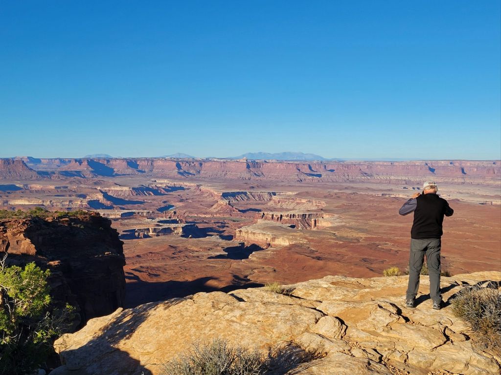
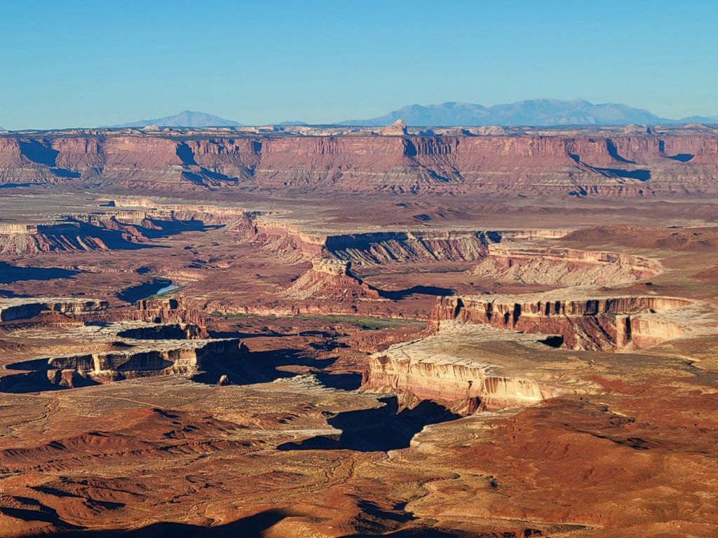
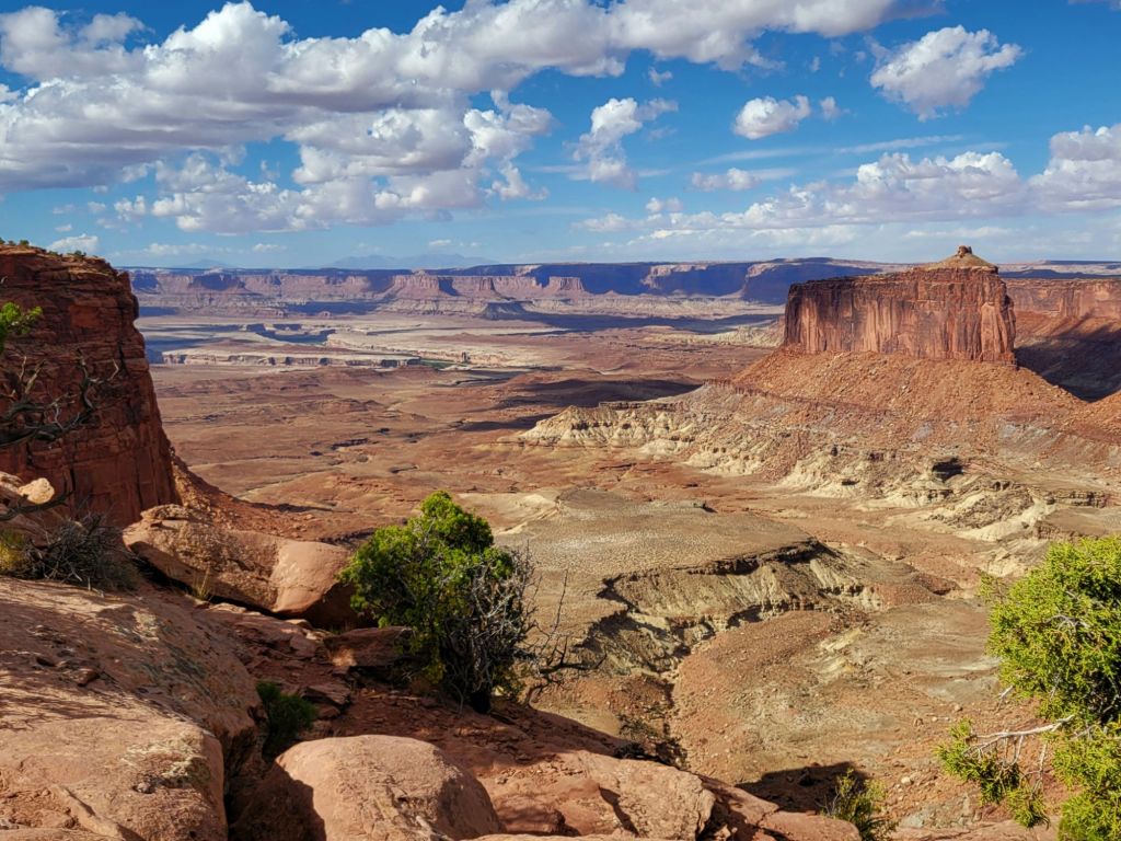
This photo was taken from an overlook on our way to Grand View.
I won’t lie. I will be very happy when we are done with canyons on this trip. I am tired of seeing Greg teetering on the edge of cliffs, praying that he won’t lose his balance or trip and fall in.
I’m not really worried about falling in, myself, since I never get close enough to the edge. But my fear of heights is always triggered, nevertheless.
Grand View Overlook
We decided not to walk the trail at Grand View. The position of the sun made it difficult to see into the canyon.
I wish park maps would tell you whether an overlook was east facing or west facing. It would be really helpful!
Mesa Arch–second attempt
After Grand View, we headed back to Mesa Arch to see whether the crowd had thinned now that the sun had fully risen.
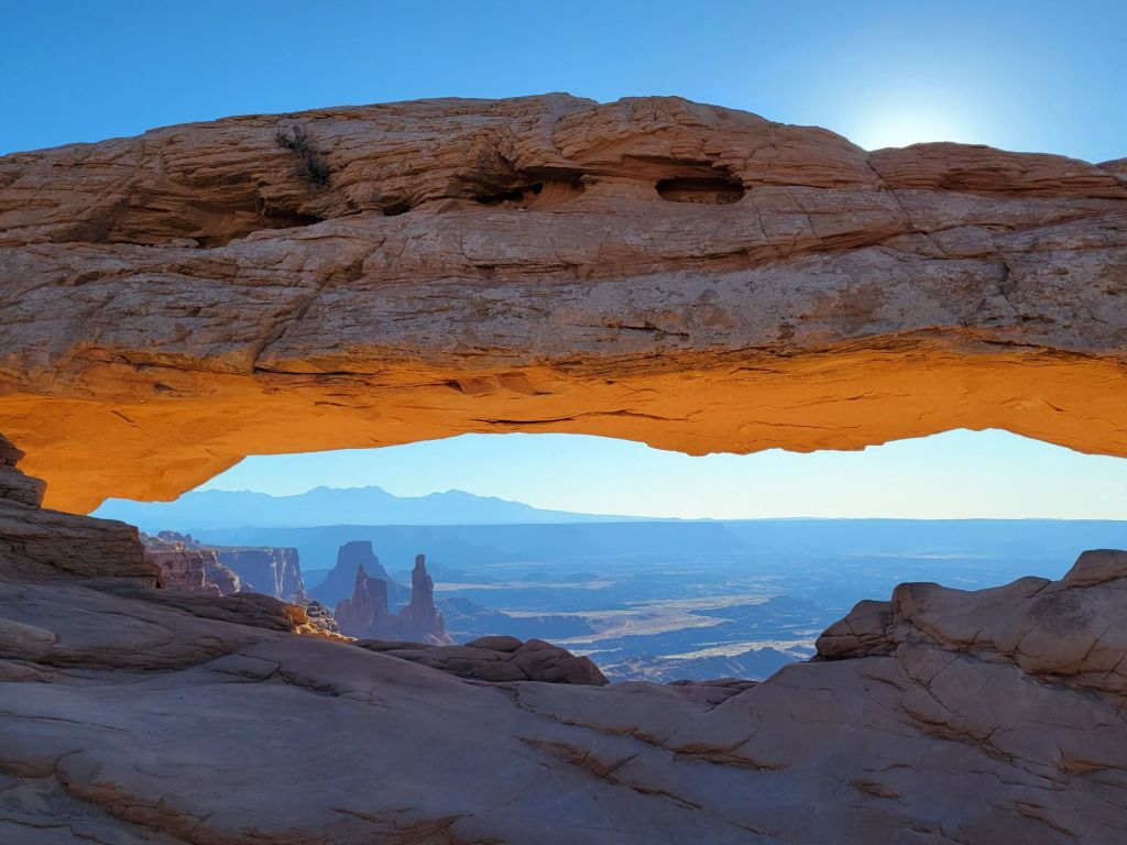
Yay! I was finally able to get my shot of the arch. And to be honest, I don’t think it would have been much better if I had been able to take it at sunrise.
Lesson learned.
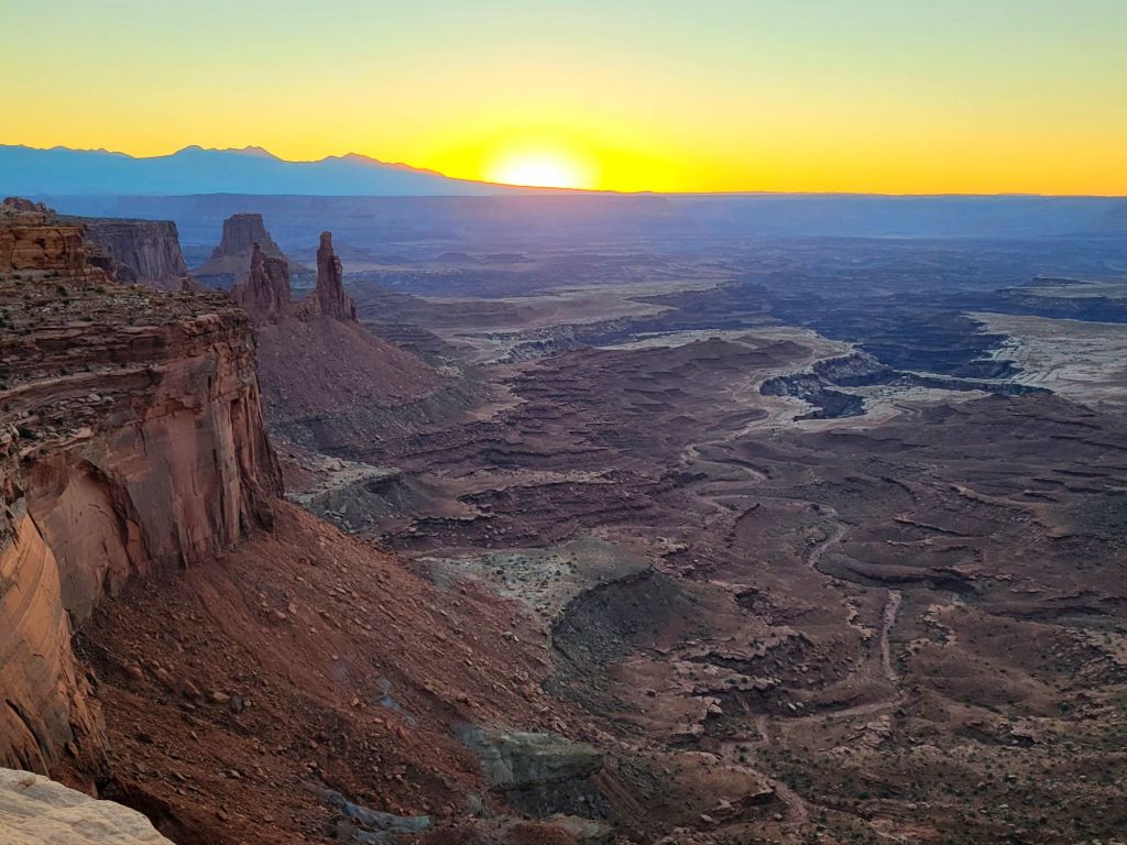
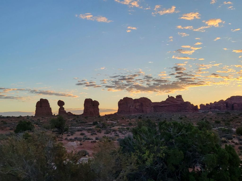
I did get at least one pretty photo at sunrise, though…
Dead Horse Point State Park
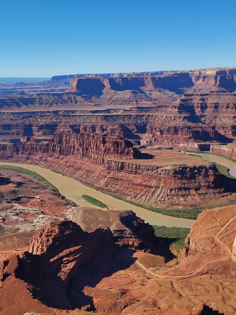
On the way back to the campground, we stopped at Dead Horse Point State Park.
This state park is a hidden gem, and I wish that we had visited it earlier so that we could have taken better advantage of everything it had to offer.
As it was, all we really did was drive to the end of the park road and take some photos of the canyon.
We were up early again this morning to see if we could catch sunrise on some of the arches in the Windows section of the park.
We were shocked to discover the parking lot nearly full at that hour of the morning. Dang! I had really hoped to get some pictures of the arches without a thousand people standing underneath them.
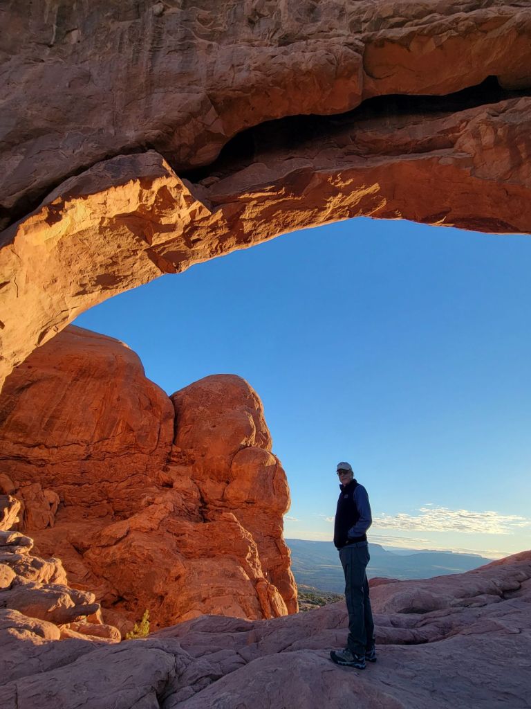
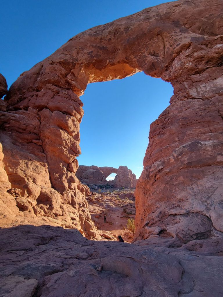
Oh, well. With a little effort, we managed to get creative with our photo taking.
That is Greg, standing on the ground waiting for me to quit fooling around.
Park Avenue
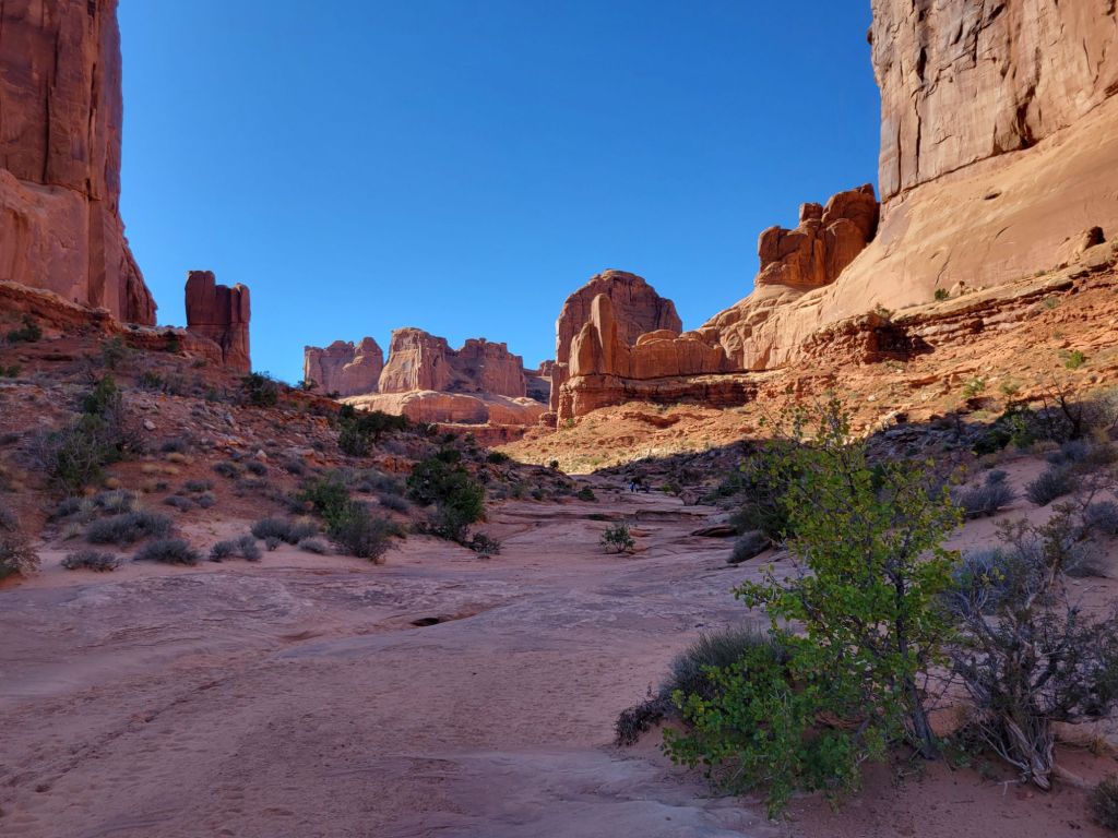
Next, we hiked the Park Avenue trail. Maybe we were spoiled from hiking at Bryce Canyon (or maybe we were simply in too much pain from all the hiking we’ve been doing), but neither of us found the views along the trail particularly breathtaking.
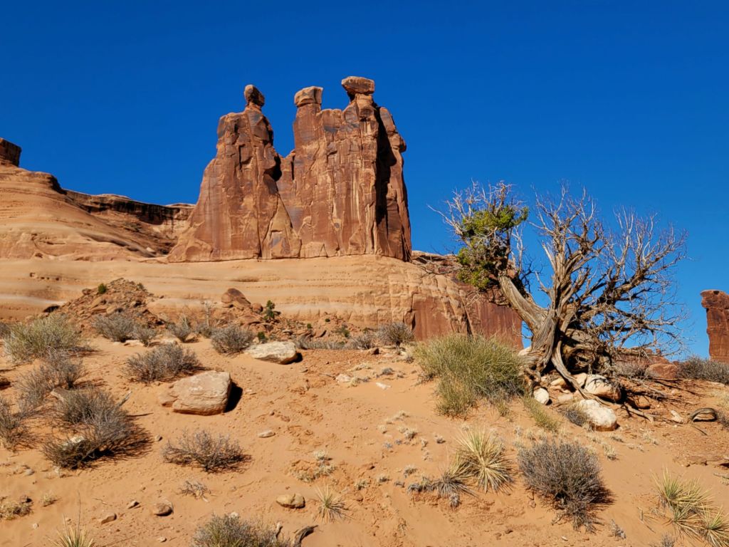
I’m calling this formation “The Nuns,” because it reminds me of a group of nuns milling about.
We didn’t go all the way to the Park Avenue Overlook, which we realized later that evening probably would have been a good idea.
Sunset at Arches
We spent the afternoon napping, doing laundry, and shopping for hair cutting supplies. (We both desperately need haircuts, and we haven’t been able to find anything like a Hair Cuttery.)
After dinner, we headed back to Arches National Park to see if we could catch the sunset.
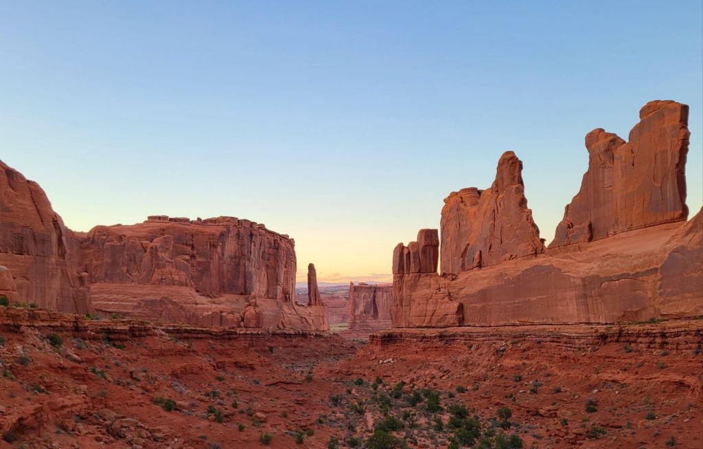
Our first stop was Park Avenue Overlook. This overlook was so much better than the trail!
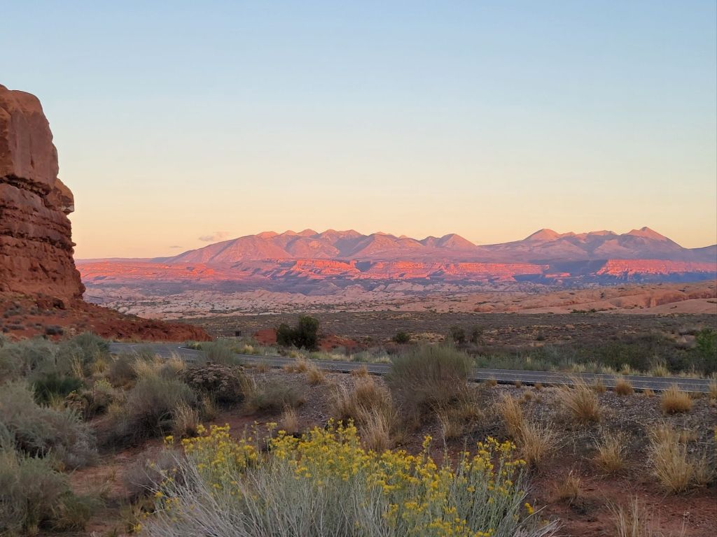
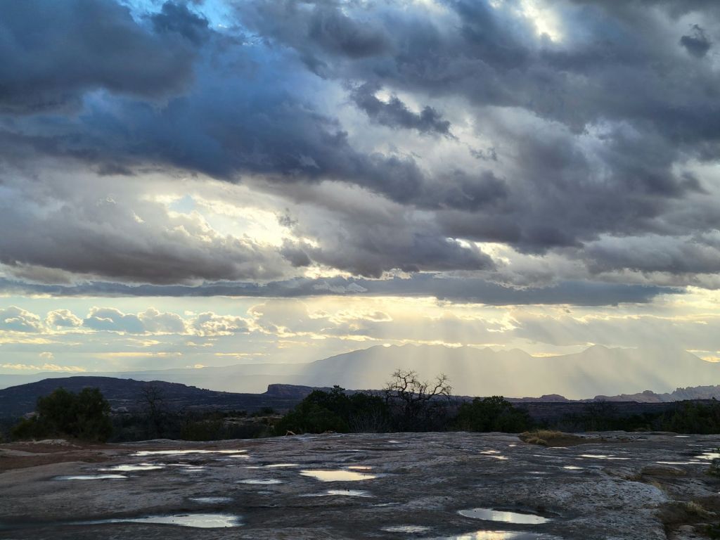
Our next delightful surprise was the view of the La Sal Mountains as the sun was setting.
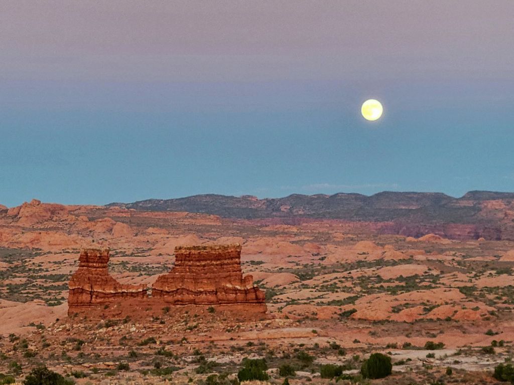
And shortly thereafter, the full moon made an appearance.
Today was a relatively quiet day. We took our time getting ready this morning. So nice!
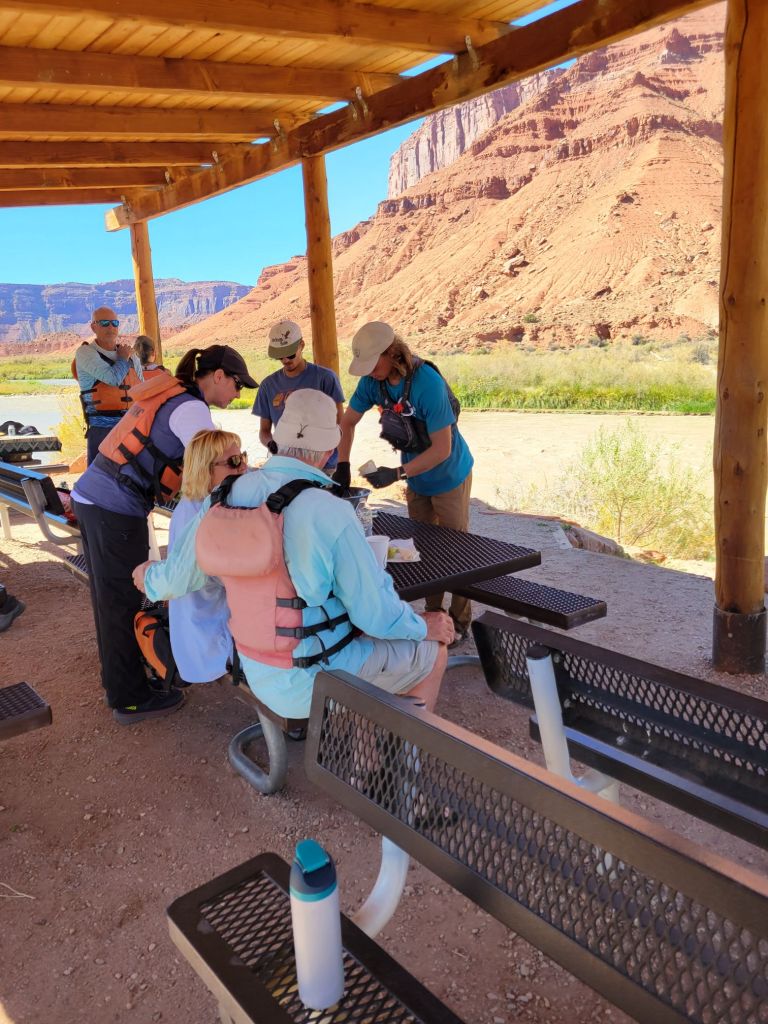
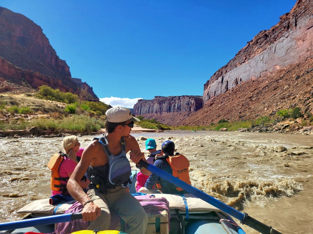
At noon, our tour guides picked us up at the campground for a 3-hour rafting trip down the Colorado River that included lunch.
Our tour guides serve up Chicken Caesar Salad in tortillas wraps shaped like ice cream cones.
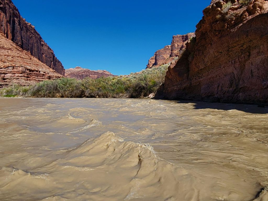
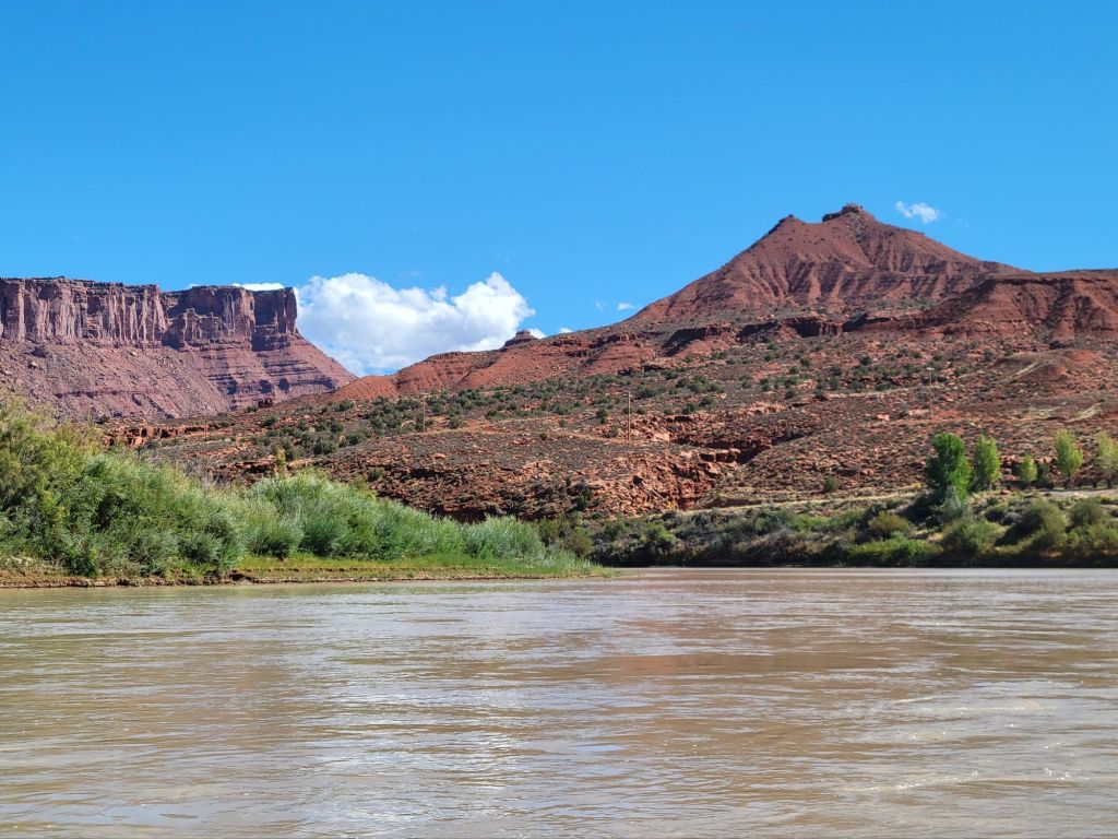
Unlike the Snake River, the Colorado River was very muddy. One of the other tourists said it was like floating on chocolate milk. I would have described it more as café au lait.
And I can’t say the scenery was especially thrilling, but it was still nice.
We woke up to rain this morning, but that did not deter us. We headed off to Canyonlands National Park at 7:15.
Again, the entrance gate to the park was unmanned, but the visitor center was open. We grabbed a map and trail guide, then headed to our first destination.
Upheaval Dome
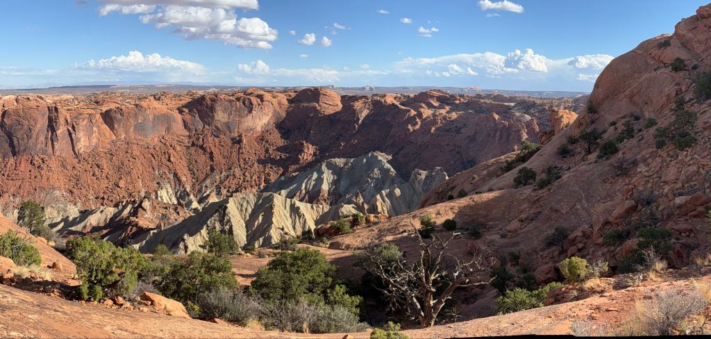
In an effort not to overtax ourselves, we’ve been trying to keep any individual hike to 3 miles or less. Upheaval Dome was 1.4 miles.
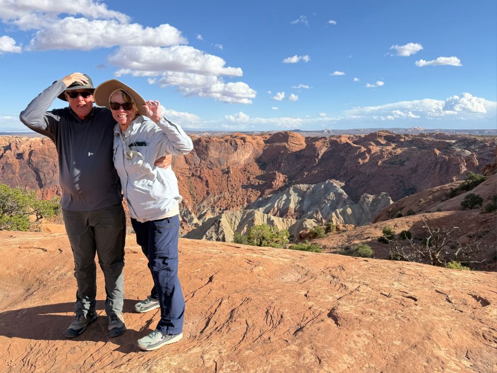
What we did not count on today were the gale force winds. OMG! I’m not sure I’ve ever experienced wind as strong as what was blowing today.
And unfortunately, nearly everything in Canyonlands National Park involves standing on the edge of a canyon. The wind added a dimension of risk that I did not enjoy. There were times when I struggled just to stay on my feet.
What you can’t tell from this photo is how hard I was holding on to Greg.
Upheaval Dome is believed to have been created by a giant meteorite.
After our experience with the wind at Upheaval Dome, we decided to forgo any more hikes, since they were likely to involve fighting against the wind while balancing on slickrock at dizzying heights.
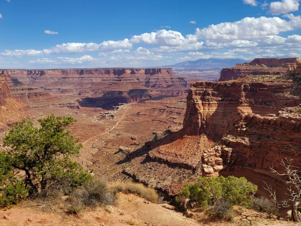
Instead, we chose to continue our drive along the main road leading through Canyonlands National Park, stopping at overlooks along the way.
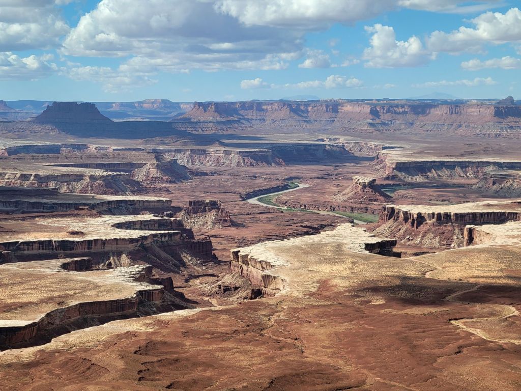
Even the overlooks often involved teetering on the edge of a canyon. Green River Overlook
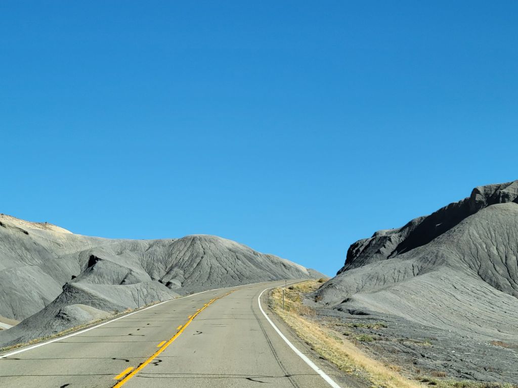
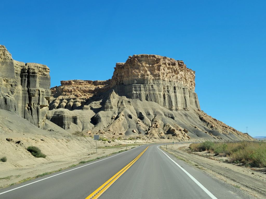
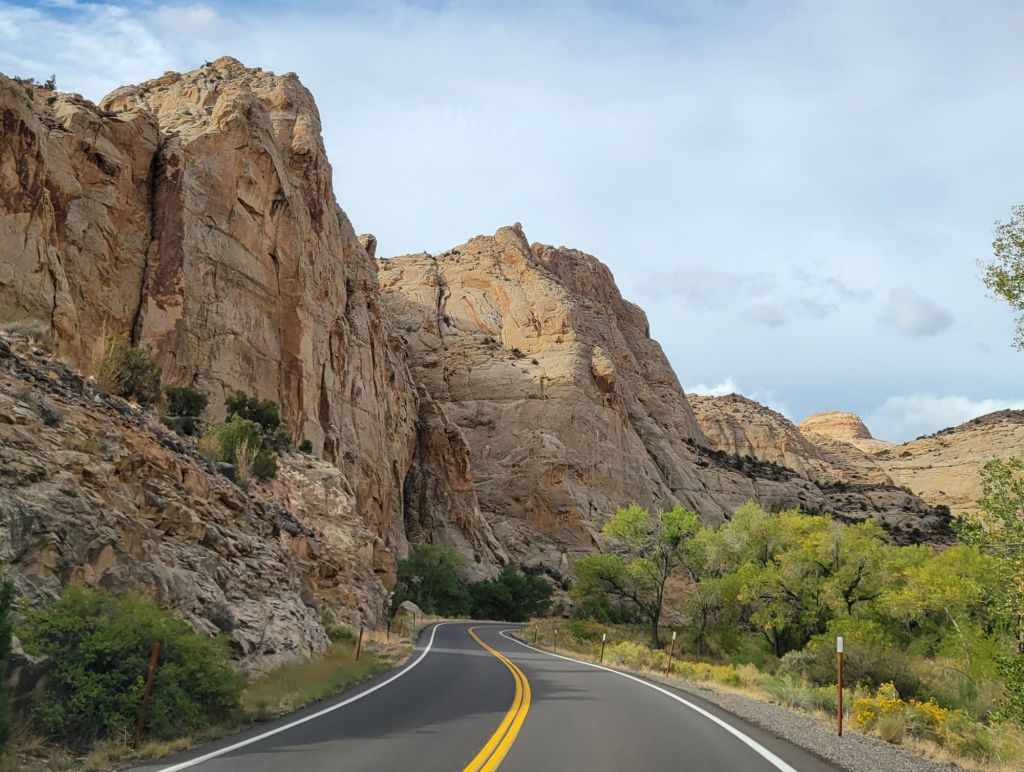
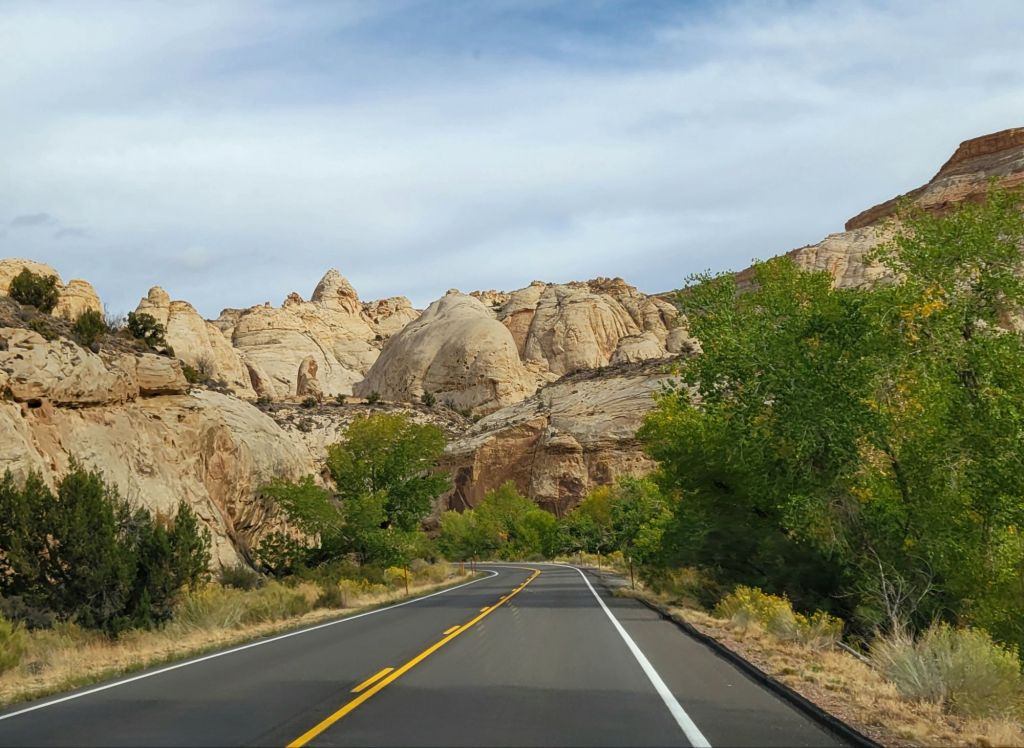
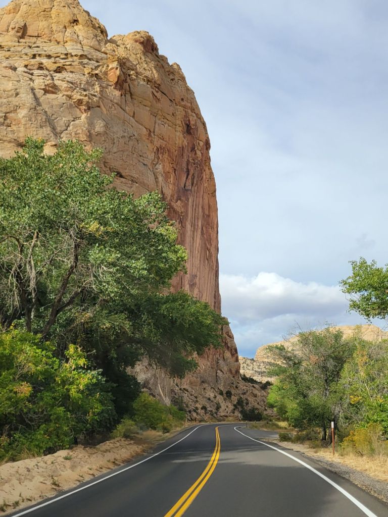
Greg decided to drive Route 24 from Capitol Reef National Park to our campground near Arches National Park. The scenery along Route 24 was varied, to say the least.
When we arrived at the campground, we were dismayed to discover that our site had no sewer. Since we are going to be here a week, that presented a challenge.
Luckily, the shower facility is top notch, and we appear to be the only ones using it. Also, there are lots of restaurants in Moab. I teased Greg that this would be a great excuse for not cooking!
Devil’s Garden
We headed off early the next morning to explore Arches. Because of the government shutdown, the entrance gate was unmanned and our timed entry ticket was not needed. But to our surprise, the Visitor’s Center was open.
We picked up a map of the park and a trail guide, then headed to the furthest spot along the scenic drive, assuming that the horde of other tourists would not have made their way there yet.
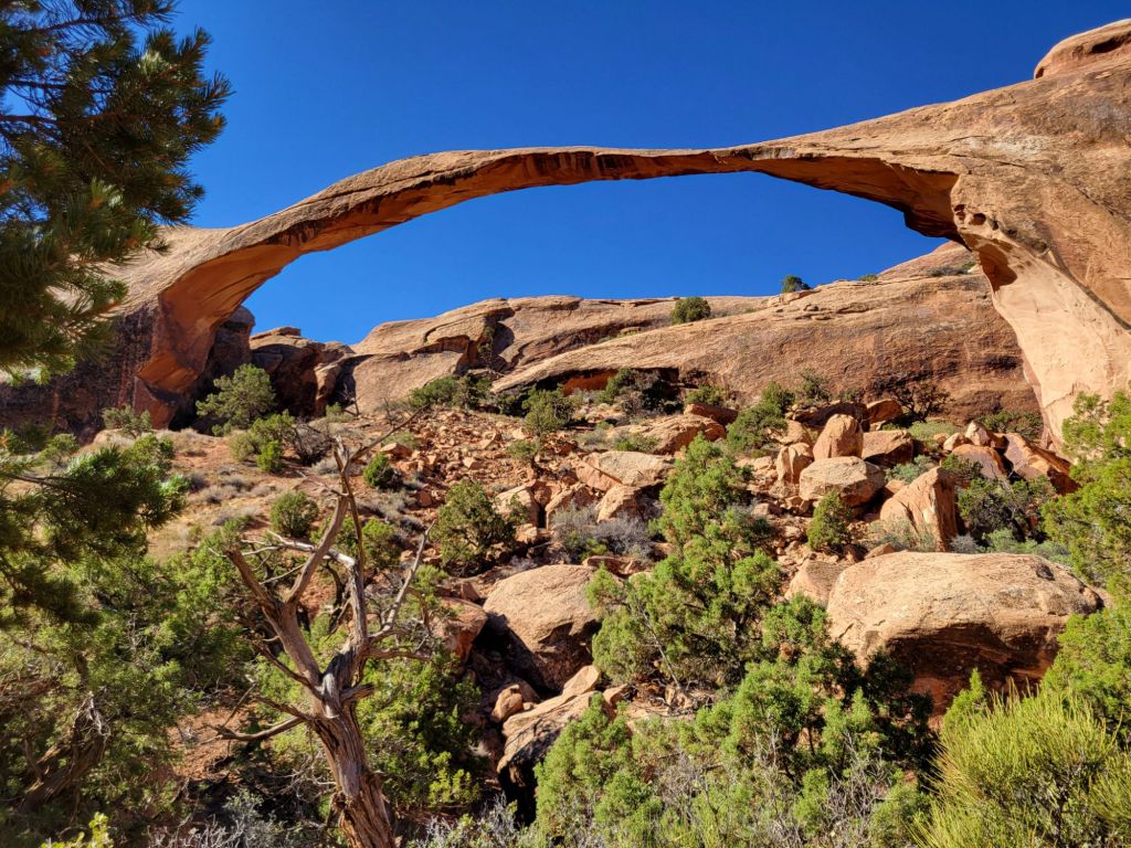
That section of the park is called Devil’s Garden, and it includes Skyline Arch, Tunnel Arch, Pine Tree Arch, and Landscape Arch (there are others, but those are the ones we saw).
Pine Tree Arch Landscape Arch
By the time we finished our hike to see those arches, it was getting hot, and the sun was blistering. Greg lost interest in any more hiking. (Those of you who know him know how he feels about being hot!)
We decided to make our way down the scenic drive and stop at interesting-looking overlooks.
Skyline Arch Heading toward Sand Dune Arch. A family had set up lawn chairs and sand toys for their little ones right in front of the arch, so I was unable to get a good photo of the arch without someone else’s kids in it. Grrr!
I won’t post photos of everything we saw, but suffice it to say that we still have a lot to see at Arches!
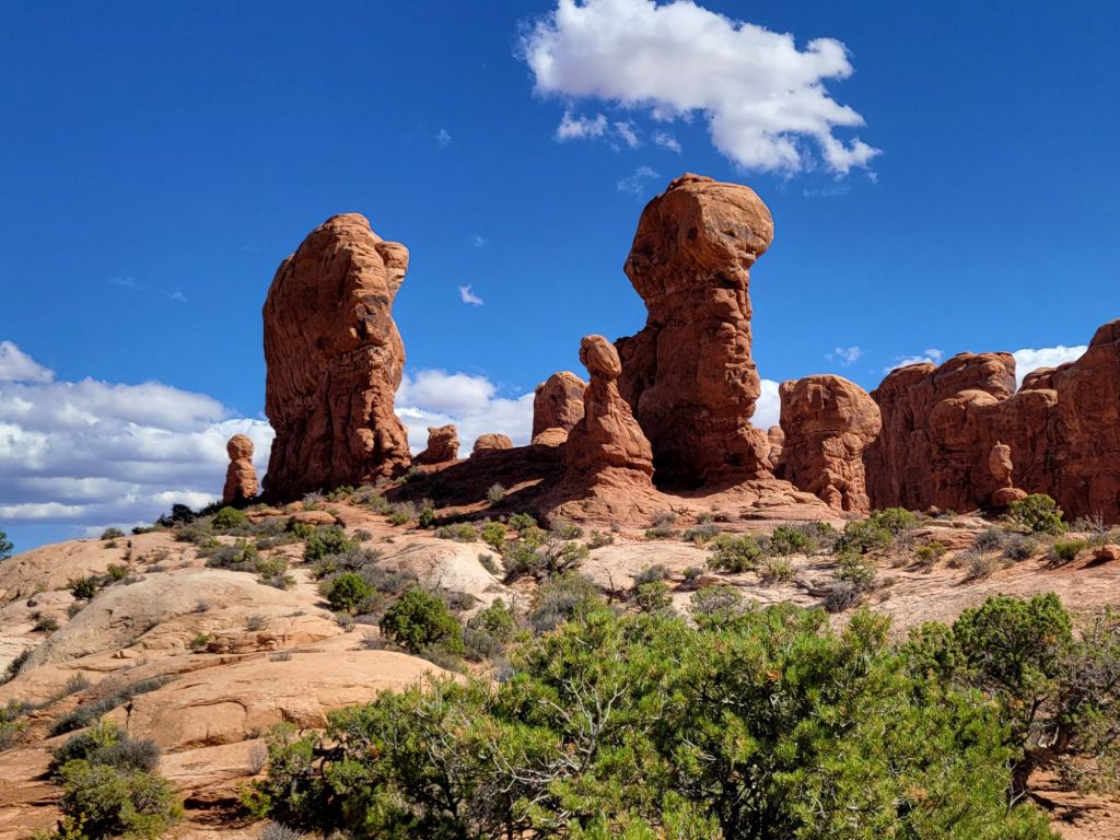
Garden of EdenThe drive into Arches National Park is probably my favorite part of the park so far.
On our way back to the campground, we made a detour to the emergency room so that Greg could get his hand checked out. Thanks to Patrick and our need to get Tdap shots after he was born, Greg was already protected from tetanus.
Tomorrow we will check out Canyonlands National Park.
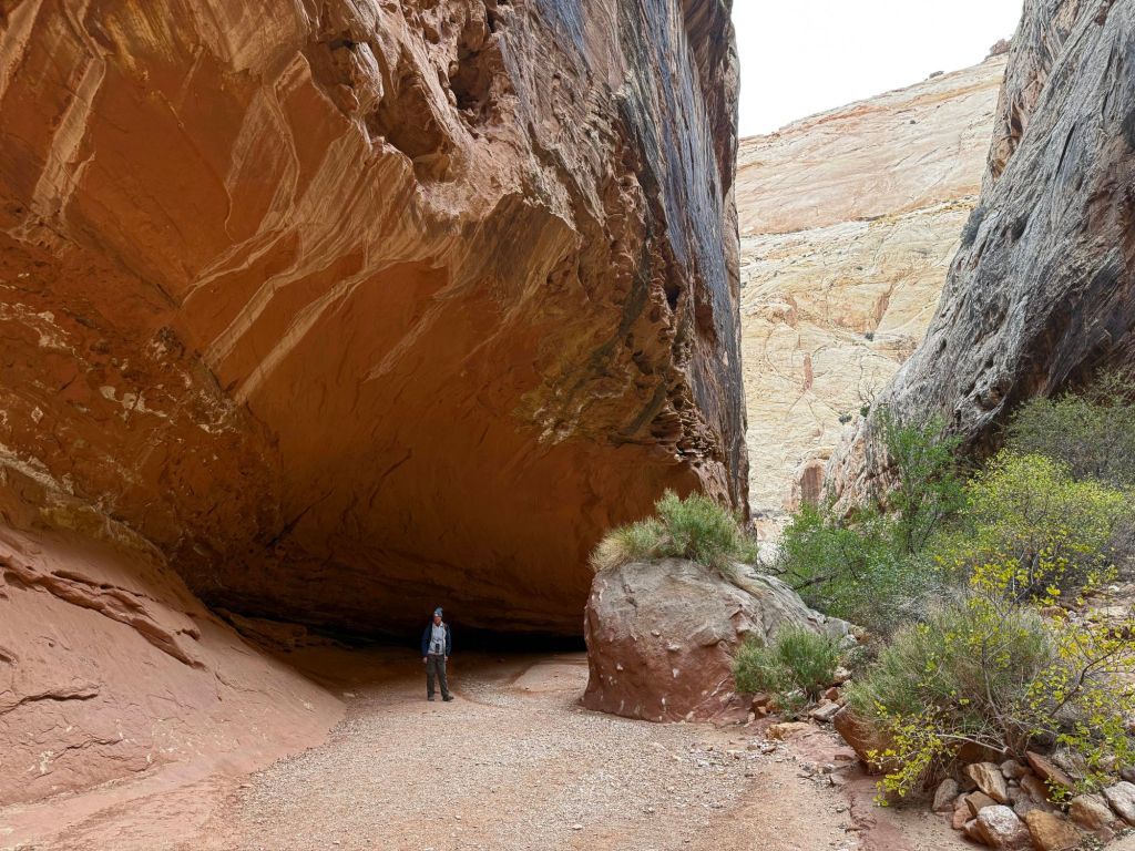
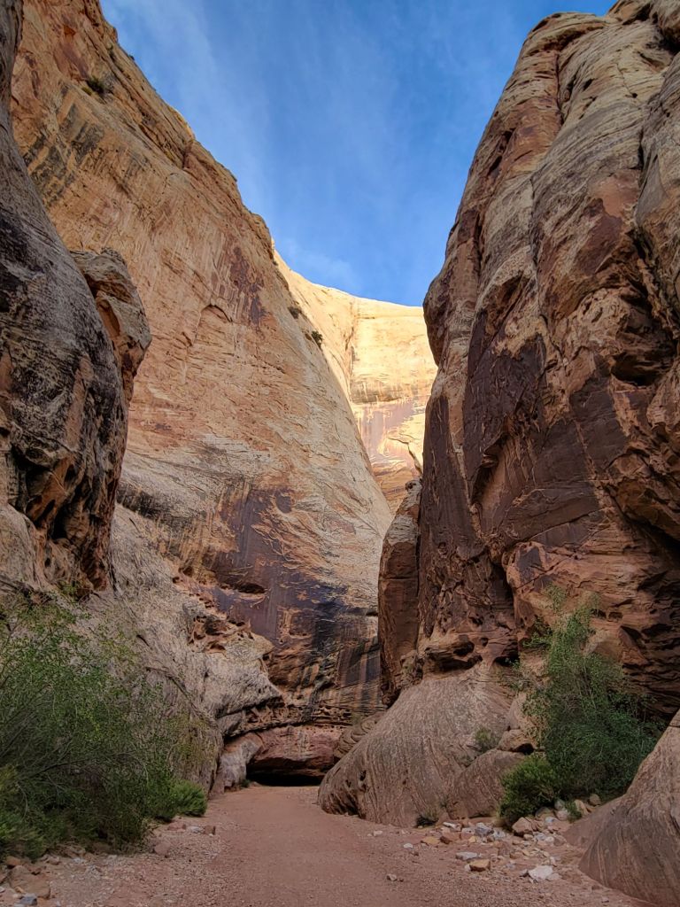
In an effort to take it a bit easier today, Greg and I headed down Route 24 to hike the Grand Wash Trail, a flat and fairly short hike through a dry stream bed and canyon.
The views along Route 24 were beautiful in the early morning sunlight.
The hike itself didn’t get off to the best start.
As Greg was trying to descend a slight slope into the stream bed, he slipped on the sand, fell, and ripped open his hand on a piece of wire.
So we headed back to the car to patch him up before continuing on.
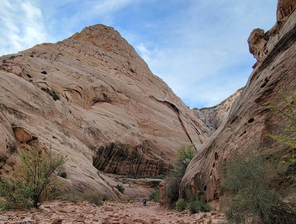
The trail was delightful, though.
See the tiny people in this photo?
Petroglyph Panels
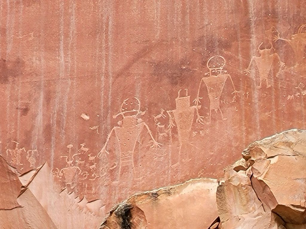
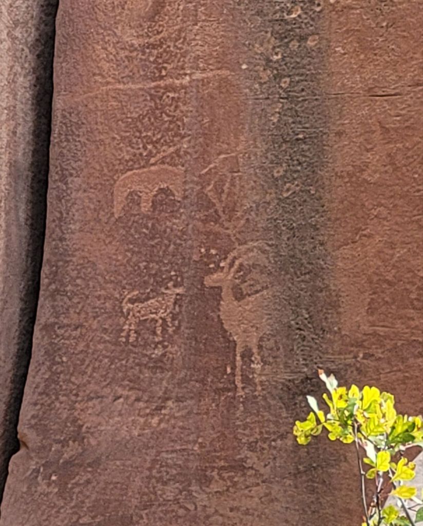
After our hike, we headed down Route 24 to an area where Native Americans had carved petroglyphs into the rock walls.
There was another tourist there who had an incredible ability to spot the petroglyphs, despite how small and faded they were. If not for him, I suspect I would have missed seeing about 80% of them.
Fruita Schoolhouse
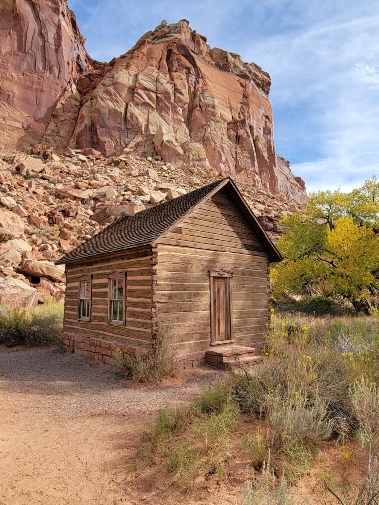
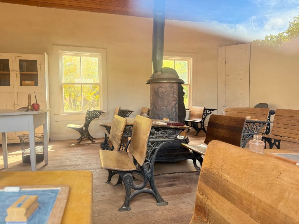
Next, we drove a short distance to the Fruita Schoolhouse. Unfortunately, it was locked, so we were only able to get photos from the outside and looking through the windows.
This is where the small Mormon community of 10 families that lived in Fruita schooled their children and held community events.
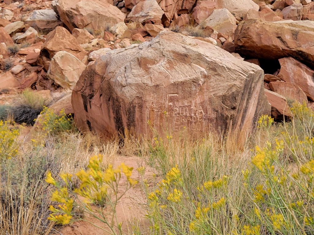
Photo taken through the windowBehind the schoolhouse is this rock. Someone carved “Fruita Grade School” into it, and generations of children carved their names into it as well.
After stopping by the schoolhouse, Greg and I headed back to the campground, where we enjoyed a very relaxing afternoon and evening doing absolutely nothing. (Well, except for grilling beef tenderloin for dinner. Yum!)