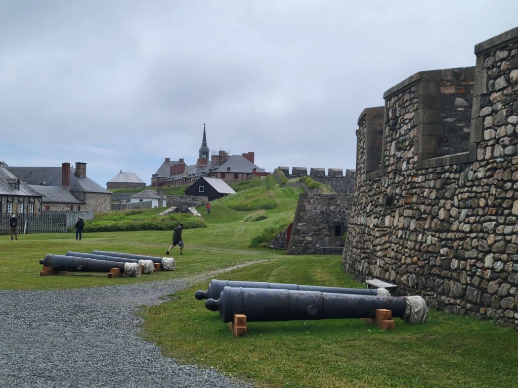
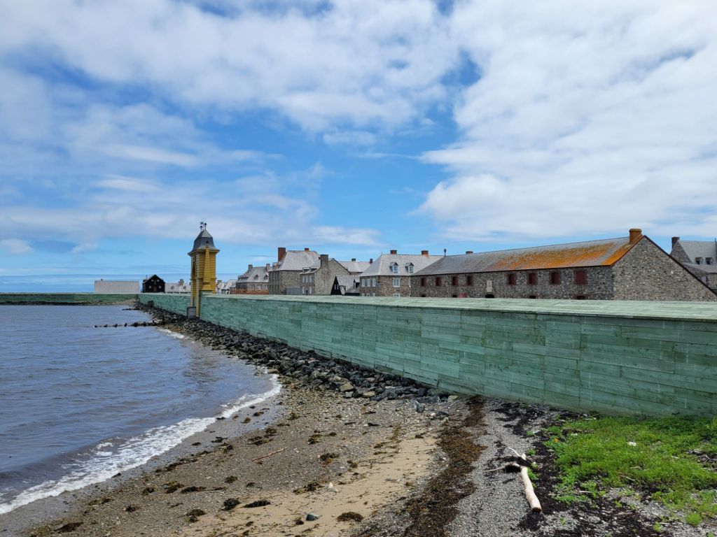
Today we took a tour of the Fortress of Louisbourg. I thought the weather was going to let us down again, but it eventually turned into an absolutely gorgeous day.
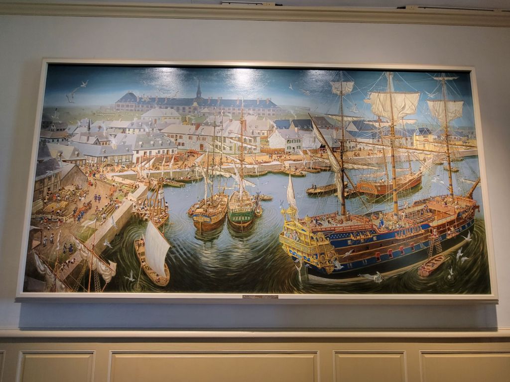
Fort Louisbourg was a French fishing colony that produced salted cod fish for France and Quebec. Despite the fact that it was basically a fishing village and port, it was also heavily fortified with a large military presence.
At one time, it was one of the busiest ports on the Eastern seaboard. The English attacked it twice, eventually destroying it.
Painting of the fortress
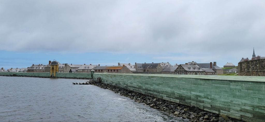
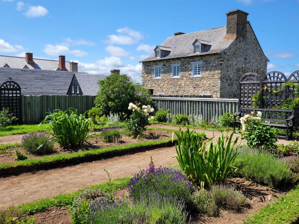
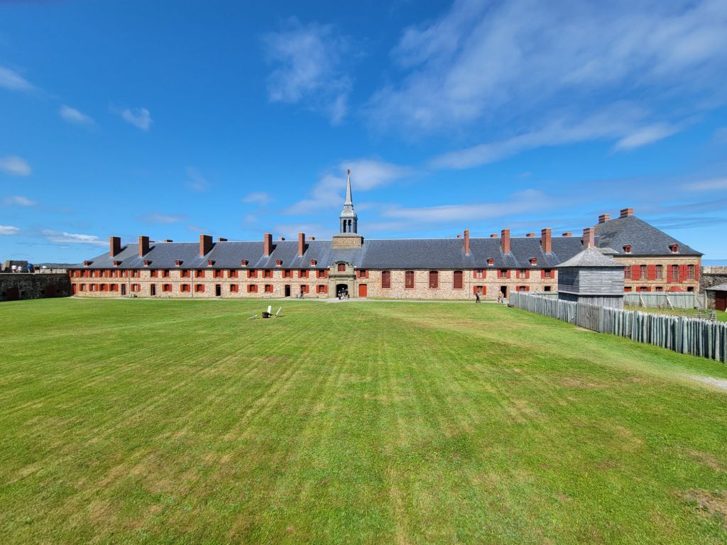
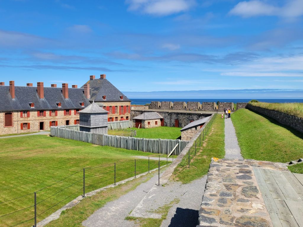
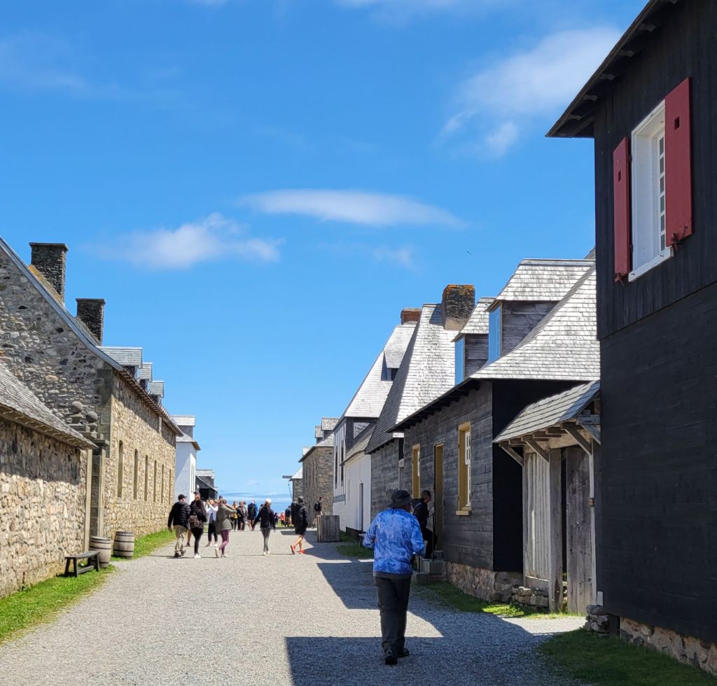
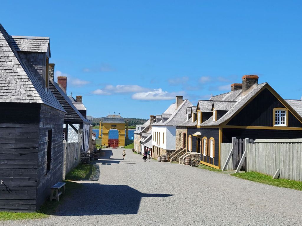
The fortress of Louisbourg is the largest historical reconstruction project on the Eastern Seaboard, possibly on the whole continent. It was amazing. It takes an entire day to go through. We didn’t even get to see everything.
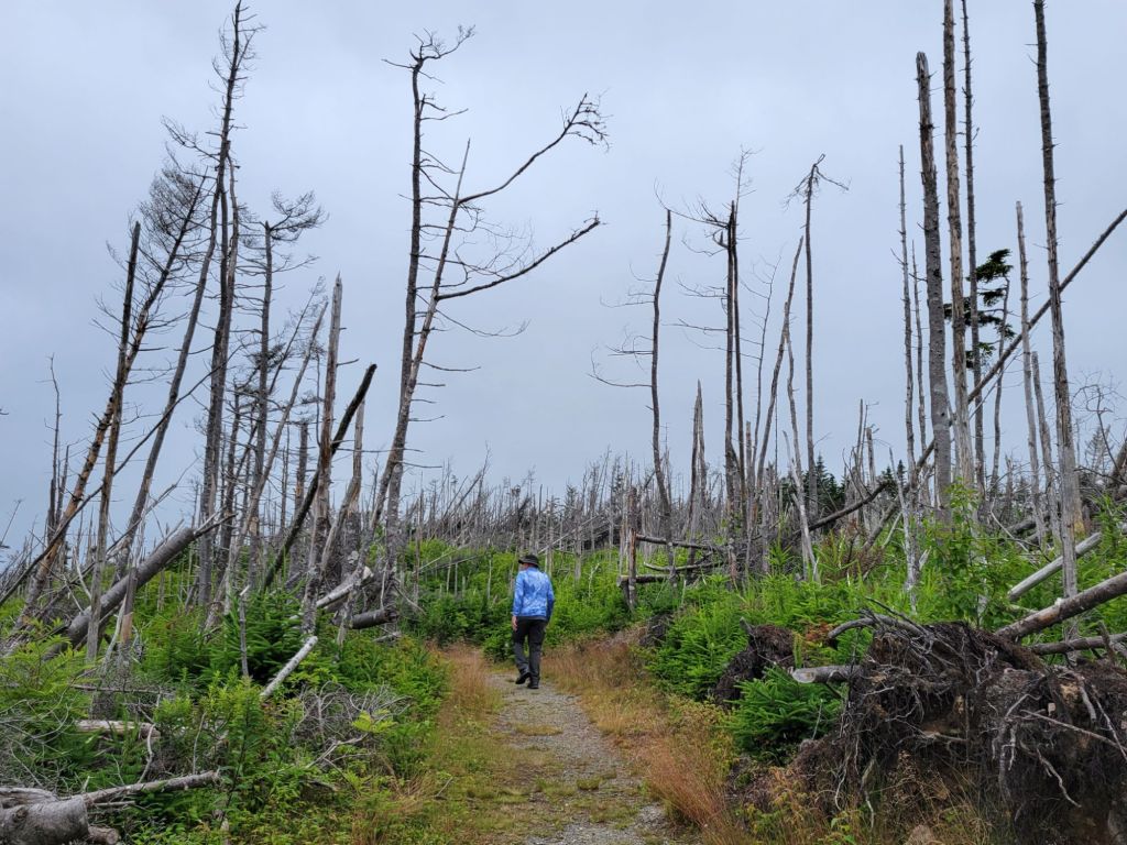
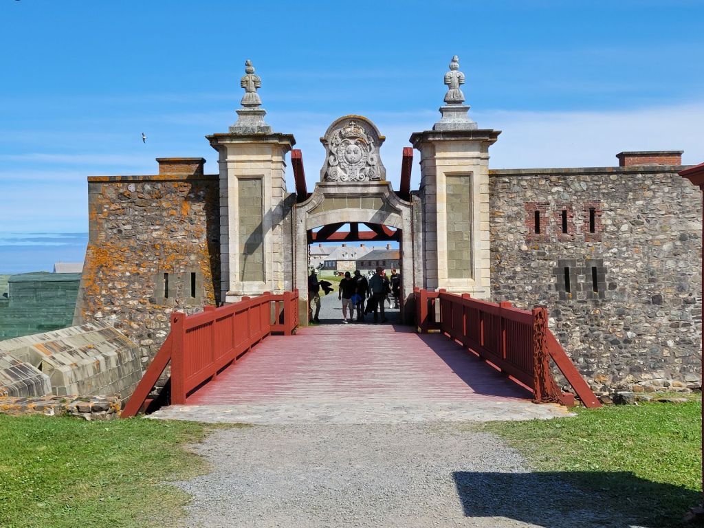
Walking from the parking lot to the visitor center was an eerie experience. A storm must have blown through this area sometime in the recent past. All of the trees were dead, and many of them were lying in the same direction.Heading into the fortressThe fortress is located on the eastern shore of Cape Breton
I’m probably going to post way too many pictures, but I was completely enthralled by this experience.
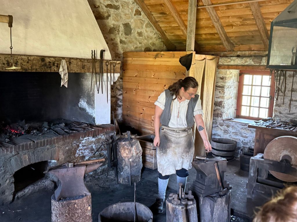
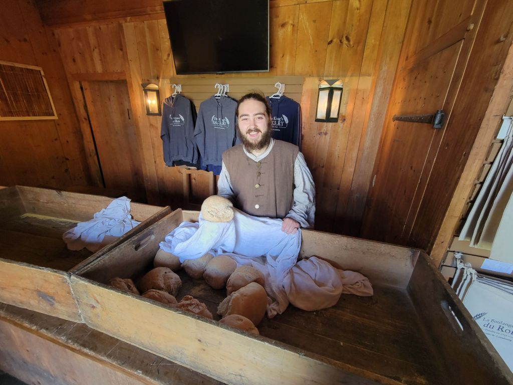
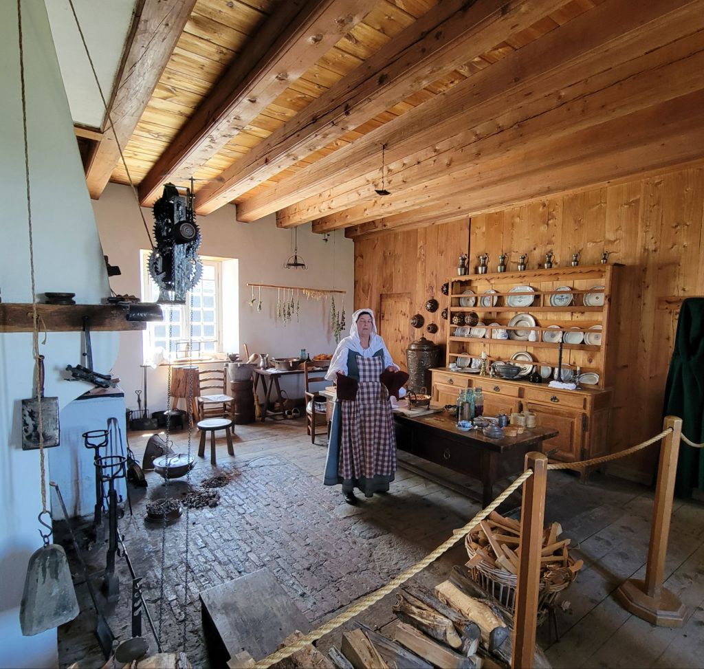
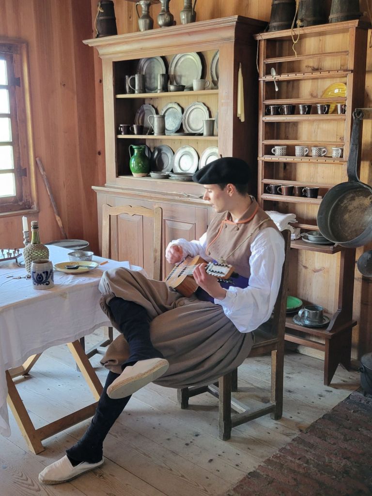
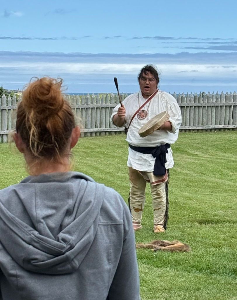
This fellow repaired metal hardware for the military. He was not allowed to create anything. Everything new had to come from France.This fellow was the baker. We bought one of his loaves of bread and had it for lunch because we had forgotten to bring our lunch from the car. It was still warm!This lady was the cook for the governor. She had just taken an apple crisp off the fire when we arrived. It was still bubbling.This young man was a native of the Basque region in Europe. He had a lovely accent and was so patient trying to explain the Basque language and culture to one of the other tourists. I didn’t know this, but the Basque language is the oldest language in Europe. It is completely different from French and Spanish, despite the fact that most of the Basque people live in either France or Spain.A member of the Mi’kmaq people did a presentation about the First Nation peoples of Cape Breton. Greg and I walked in at the end in time for the singing and drumming.
The Mi’kmaq people are native to Canada’s maritime provinces. Their name for Cape Breton is Unama’ki.
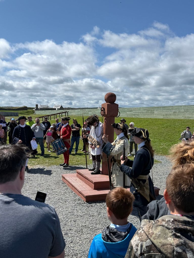
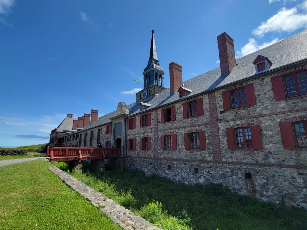
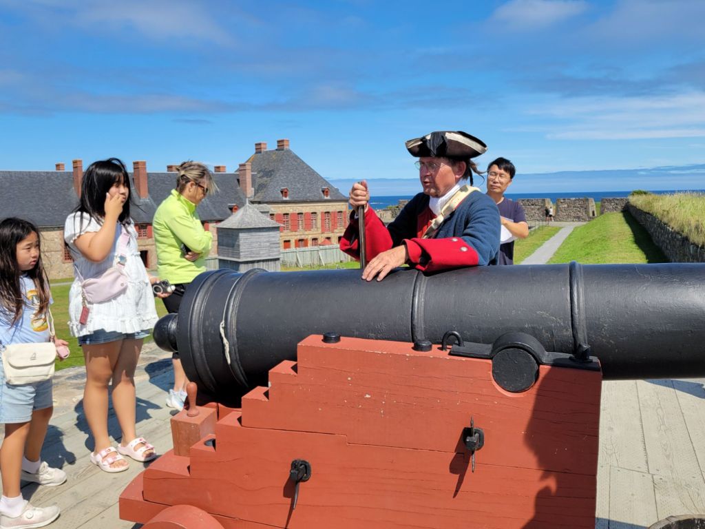
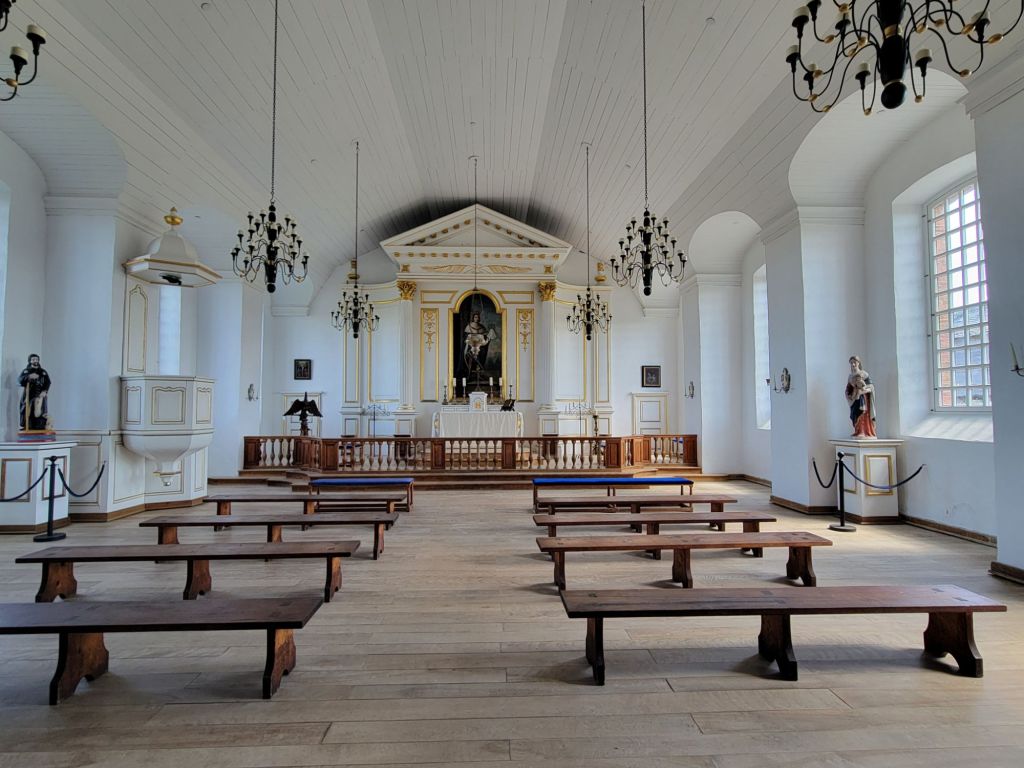
One of the colonists is suffering a public humiliation for some wrongdoing. The crowd was encouraged to yell insults at him.This photo shows the entrance to the Bastion of the King. On the left side is a chapel, and on the right side is the prison, some officers quarters, and the governor’s quarters.This photo shows the back of the Bastion of the King.This fellow explained some of the military fortifications, including the size of the cannons and how far they could shoot (a whole kilometer). The Fortress of Louisburg had some strategic weaknesses. Although it was easy to defend from the sea, it was easy to conquer from land.The chapel in the Bastion of the King.
Greg has some better photos of the streets, but unfortunately, cell service here is so bad that he’s been unable to send them to me.
It was a long day, but a great day. If my back hadn’t been hurting so much, we probably would have stayed longer.
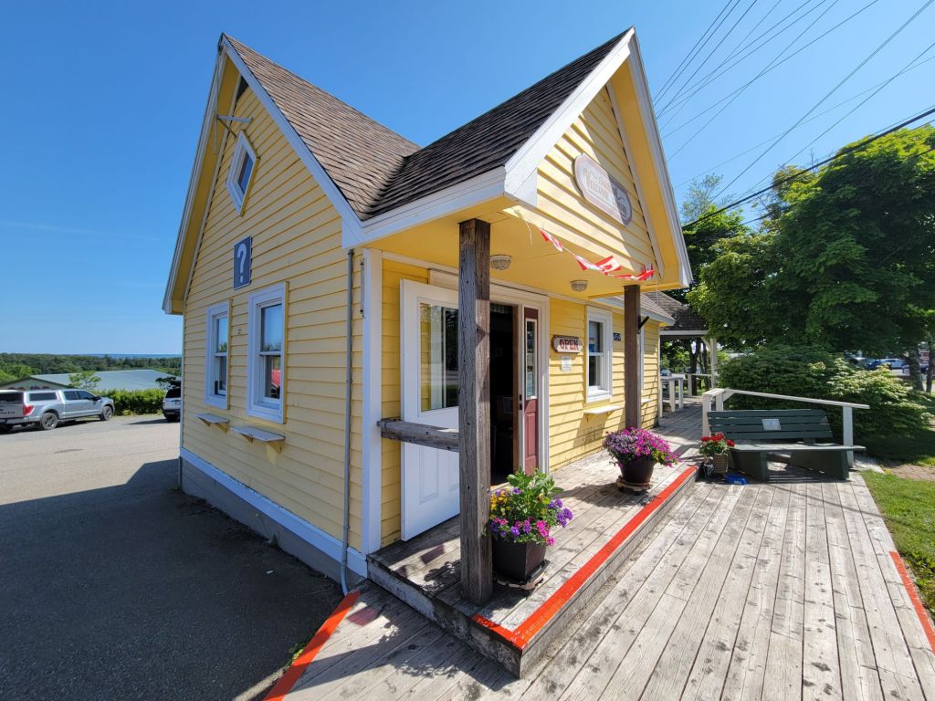
Our next stop was Baddeck (emphasis on the second syllable), Cape Breton. After setting up the camper in a nice, out of the way and shady site, we headed to the visitor center to see what there was to do in Baddeck.
The visitor’s center
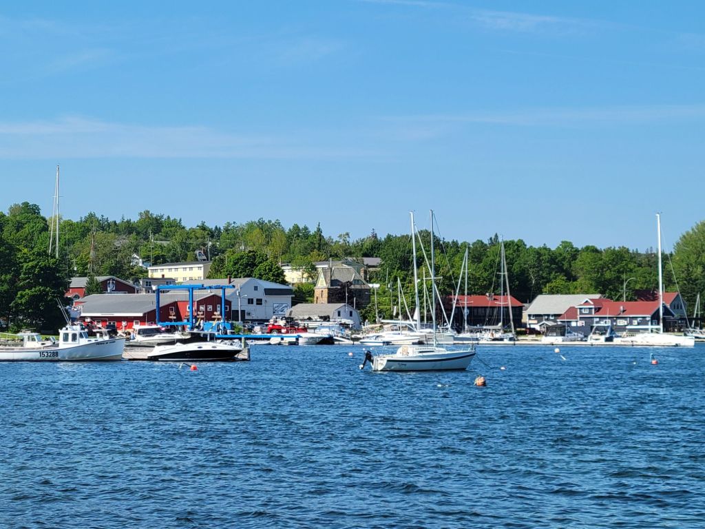
Afterward, we drove down to the harbor, struggled to find a parking spot, finally succeeded, and walked along the very pretty boardwalk.
There were a couple of these metal sculptures scattered throughout the wharf area. I thought they were charming.
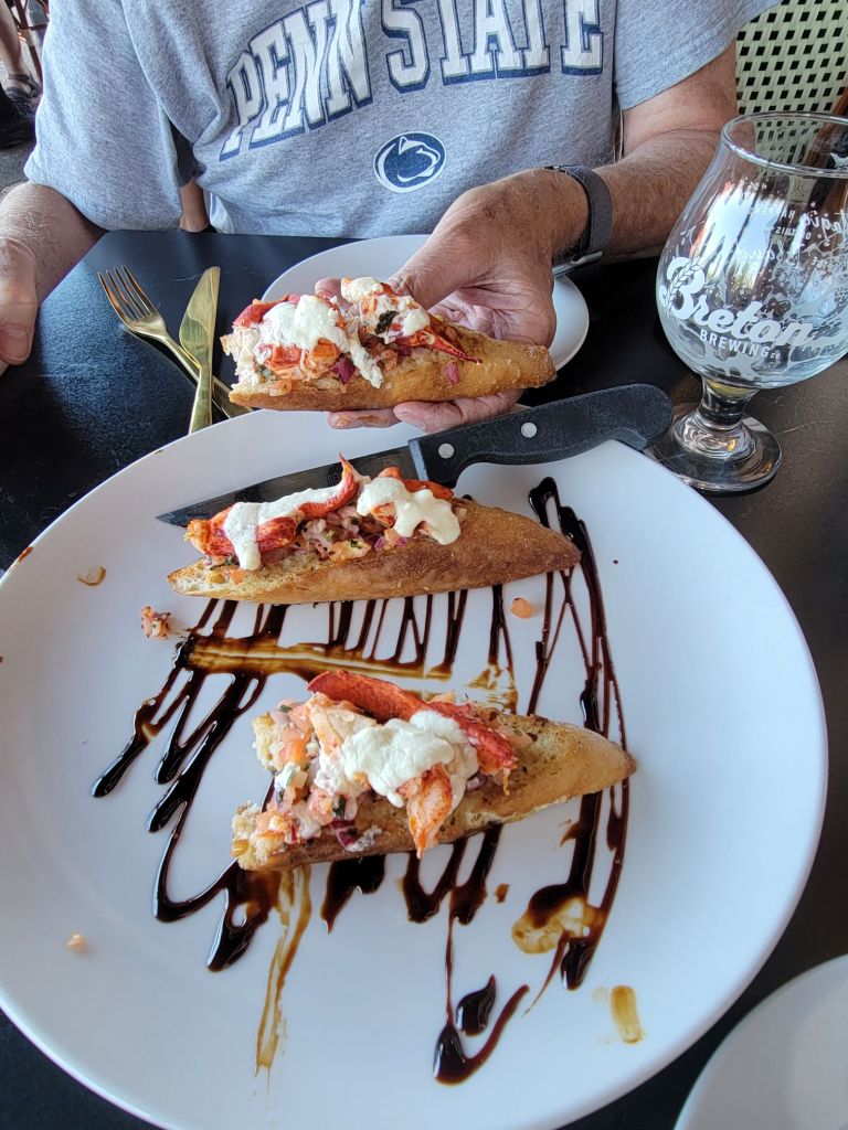
Greg was interested in getting a drink at the restaurant on the wharf. I talked him into having an appetizer to go with it. Our choice was lobster bruschetta, and it was delicious! I have also discovered my favorite cocktail, which is an aperol spritzer.
I immediately dug in, and only then thought to take a photo.
Cabot Trail
The next morning, we attempted to drive the Cabot Trail, which is a very famous scenic drive in Cape Breton. The weather was cloudy when we woke up, but as we got into the higher elevations, a fine mist made visibility difficult.
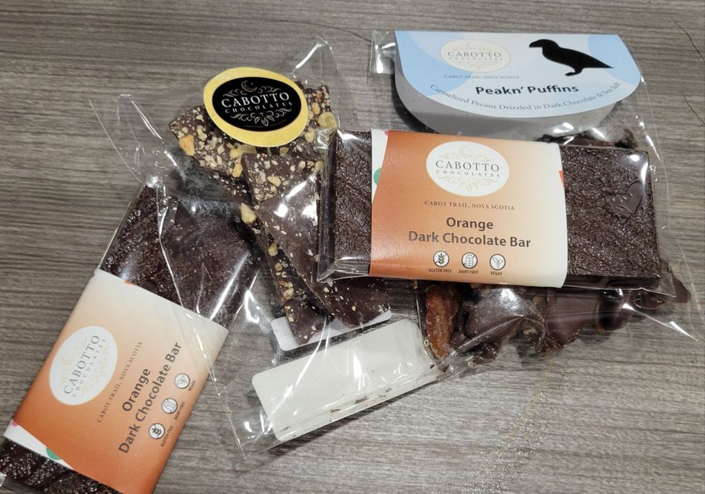
Greg decided it might be best to turn around and try the trail another day. But first, we stopped at a local chocolate shop to ask for information and, of course, to buy some chocolate.
I only thought to take the picture after we had already consumed some of the chocolate.
The ferry
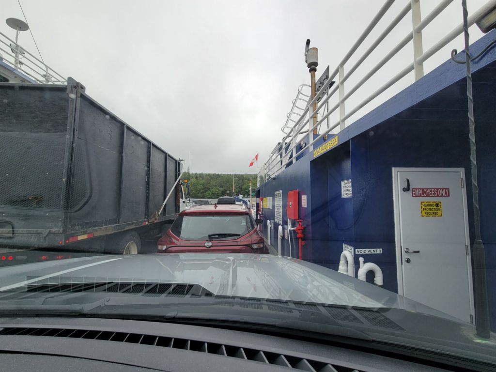
Greg decided to take the ferry to get back to Baddeck. I don’t think I’ve ever been on a ferry this small.
It took all of 5 minutes to get across the water on the ferry.
The Alexander Graham Bell Museum
Since the weather was still lousy, we stopped at the Alexander Graham Bell Museum for a visit. Did you know that Alexander Graham Bell made his home in Baddeck, Nova Scotia, for many years?
Holy cow, Alexander Graham Bell was a busy guy! His early career involved teaching speech to deaf students. One of his students later became his wife, Mabel. He also taught Helen Keller and started a school for the deaf.
Teaching the deaf was not his only passion, however. As we know, he invented the telephone. He was also interested in the study of longevity, breeding sheep so that they always gave birth to twins, inventing a very fast boat using hydrofoils, experimenting with tetrahedrons, and making airplanes. In fact, he and his team won the American Scientific award for the first powered flight to travel 1 km.
Despite the iffy weather, I think we made the most of our day.
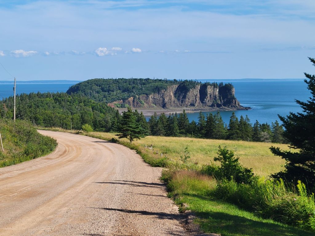
At last! Beautiful weather. Today we drove along the Cliffs of Fundy, which was on the opposite side of the water from Burntcoat Head. It was an all-day affair, but we had a great time.
Thomas Cove
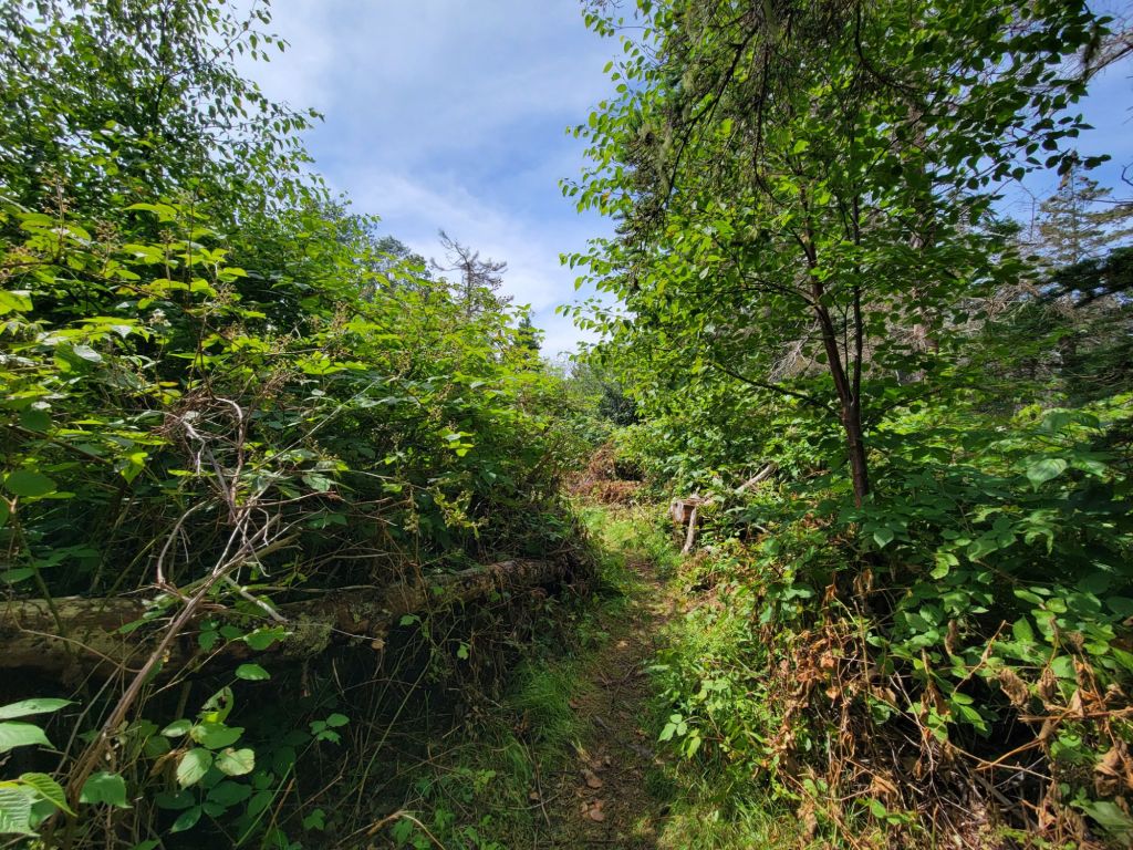
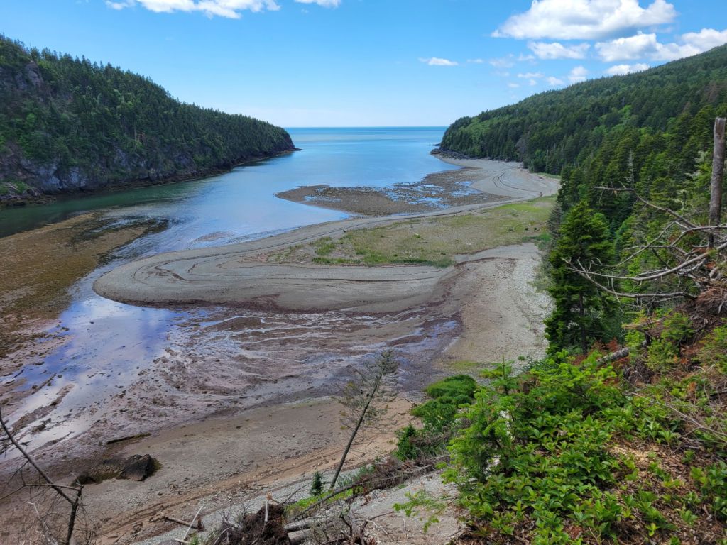
Greg wanted to hike one of the trails at Thomas Cove. This turned out to be harder than we had expected. Either the trail dumped us out on a sandy beach with no idea which way we were supposed to go, or the trail was virtually invisible. All the warnings about poisonous plants didn’t help.
This is not the kind of trail I am used to hiking.
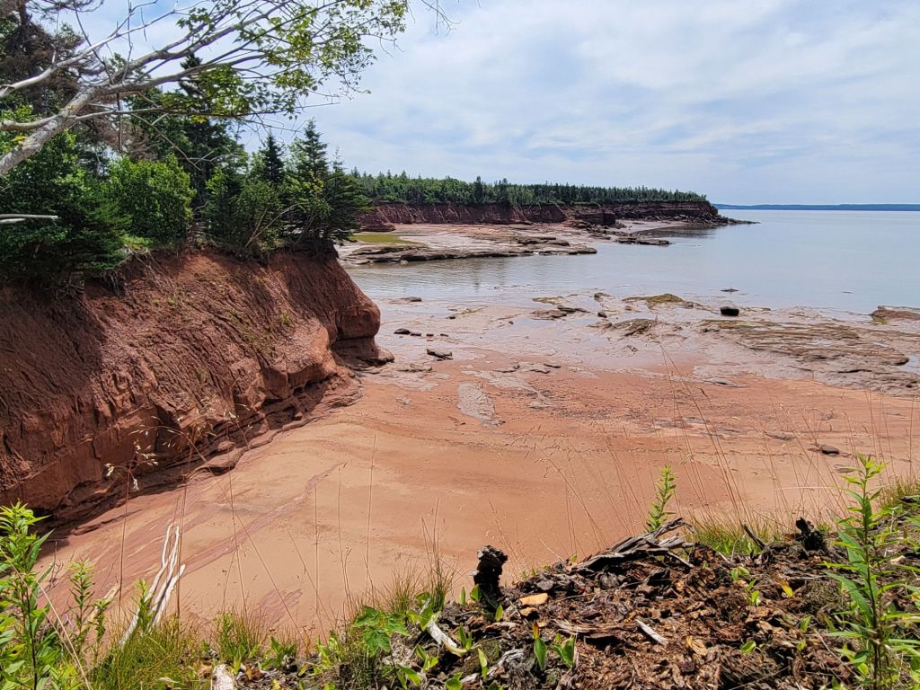
The views were beautiful, though.
Five Islands Provincial Park
After a quick stop at the Welcome Center and a quick tour of the World War II tower, we headed to Five Islands Provincial Park.
If you zoom in, you can see tiny people walking in the distance. That’s how much of the seafloor was exposed.Do you see that little rock separated from the others? That is called Old Wife, and it was our destination.
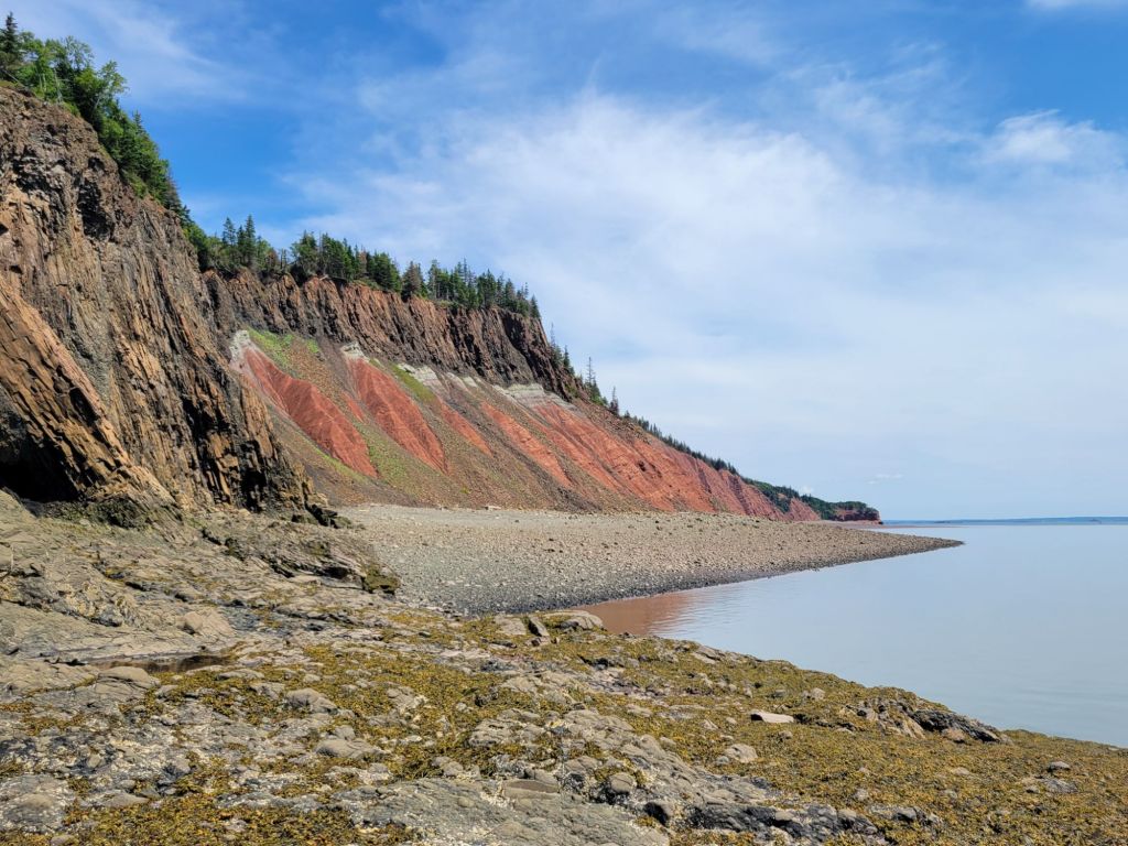
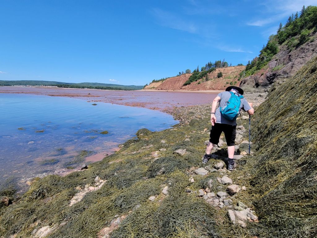
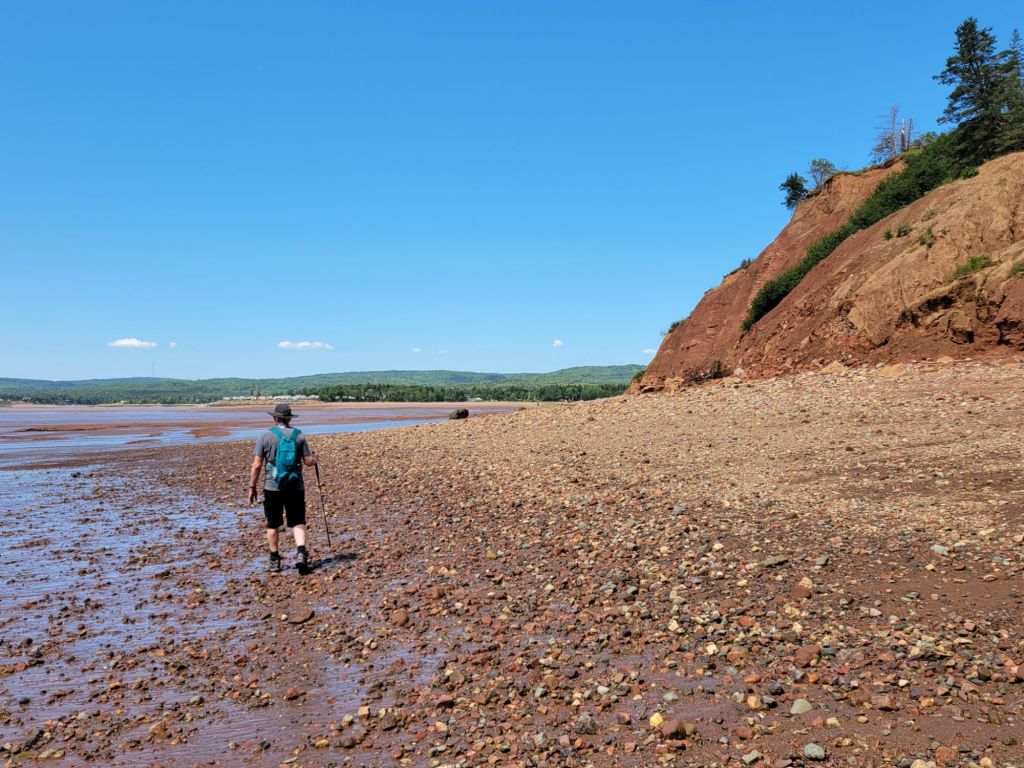
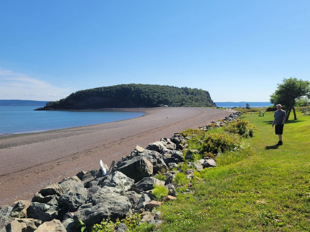
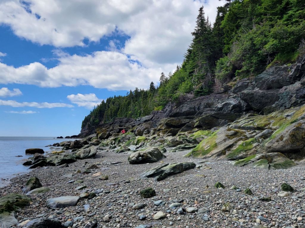
Most of the beaches in Canada seem to be filled with small rocks. That was the case with Five Islands Provincial Park as well, but as the tide withdrew, red sand and large slabs of limestone were exposed.
Where we could, we walked along the sand and limestone slabs.
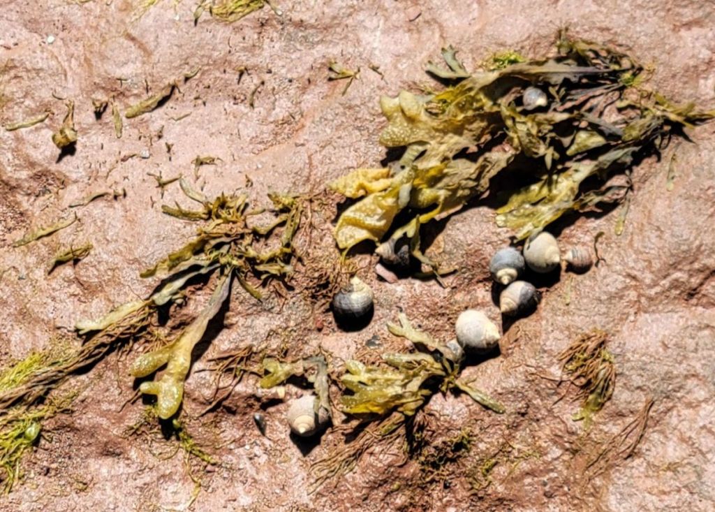
These limestone slabs made walking fairly easy. Thousands of little snails clung to their crevices.
Getting to Old Wife was not as easy as we had been led to believe by the employee at the visitor center.
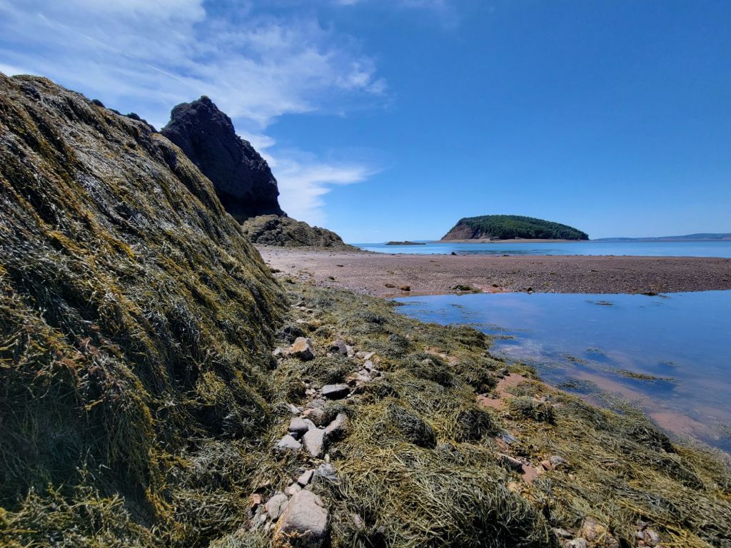
Between the rocks, the seaweed, and the ebbing tide, we had quite a challenge!
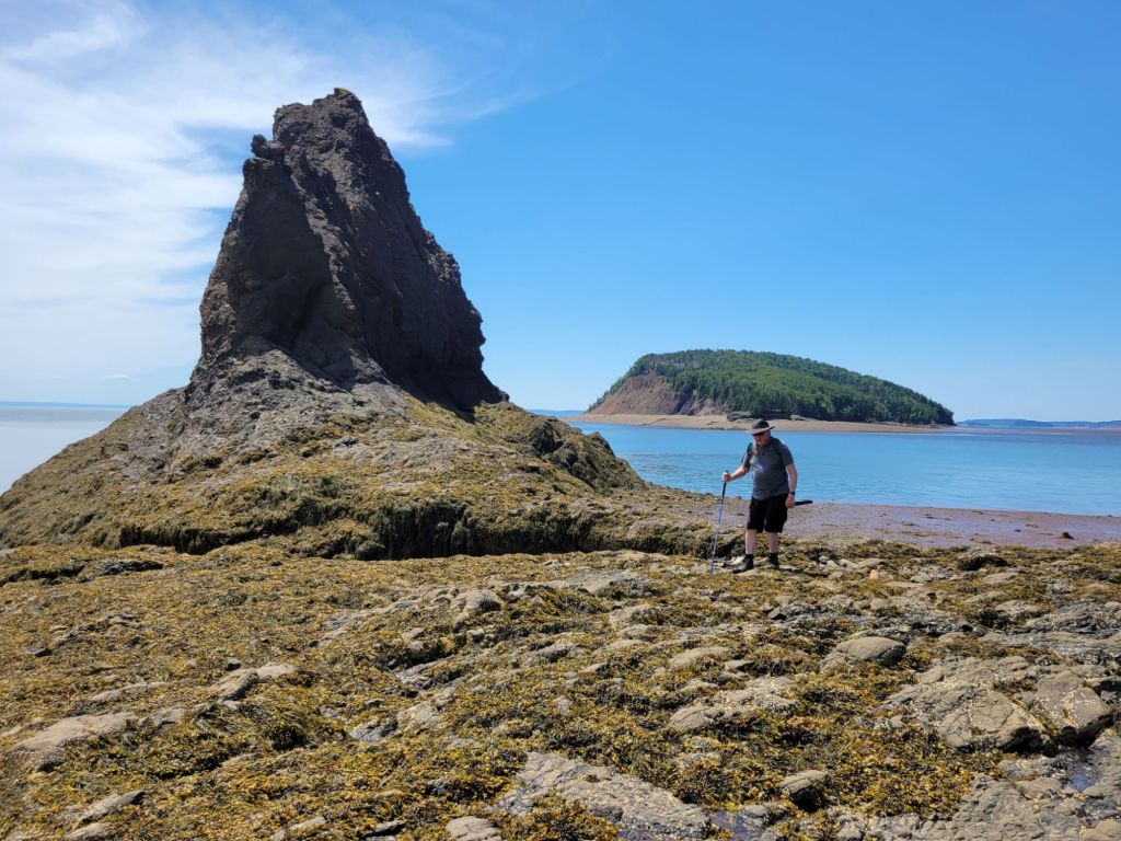
The trek was worth it, though. After we climbed over more rocks and seaweed, we were treated to the view below. According to the employee at the visitor center, these rocks were once part of Pangea. The other half of them is in Morocco.
Greg, standing beside Old Wife with Moose Island in the background.
Five Islands Lighthouse Park
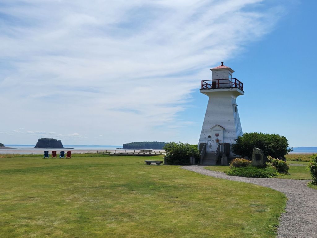
Next up on our drive along the Cliffs of Fundy Geopark was Five Islands Lighthouse Park.
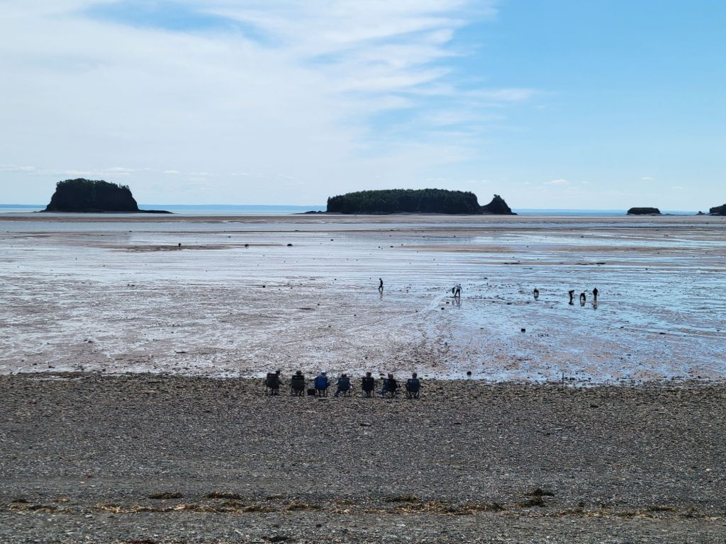
In the photo above, you can see a few of the five islands.
The Fundy Geological Museum
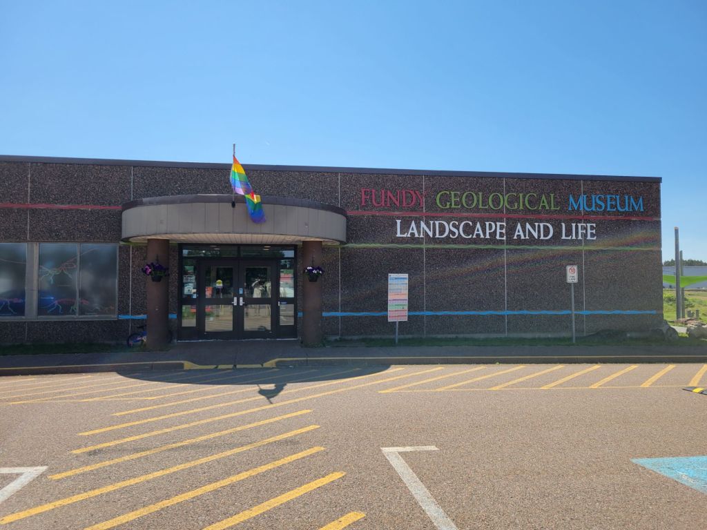
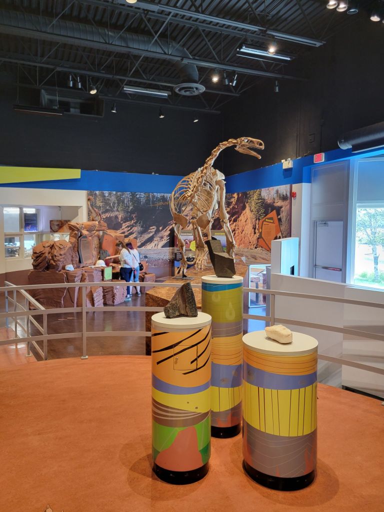
Our next stop was the Fundy Geological Museum, where we got to view the different types of rock that tell the story of Nova Scotia’s geological history.
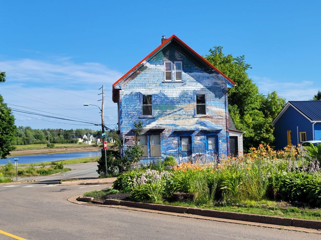
On the way out of town, I took the photo below. I thought it was pretty, and it reminded me of the beach.
Ottawa House Museum
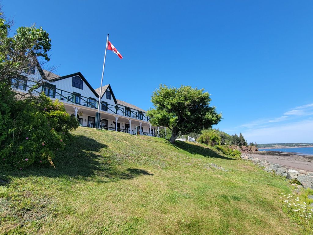
Next, we stopped by Ottawa House Museum, mostly just to get a picture and see what it looked like. We didn’t go in. By this time, it was getting late, and we still had to drive over an hour back to the campground.
The view of Partridge Island from the lawn of Ottawa House.
One of the many lighthouses along The Cliffs of Fundy is not far from Ottawa House Museum, so we decided to make a quick stop there. We should have known better. Canada is exceptionally good at hiding its lighthouses.
After driving down a gravel road for several kilometers and reaching a dead end, then turning around and driving all the way back again, we finally found the road that should take us to the lighthouse. Unfortunately, the road was little more than a rarely-used overgrown track. I’m not sure our truck could have navigated it. Needless to say, we didn’t attempt it.
On the way back to the campground, we were treated to this pretty view of Partridge Island.
Hidden Falls
We made one final stop before calling it a day. When we pulled in to the tiny parking lot for Hidden Falls, we were the only ones there.
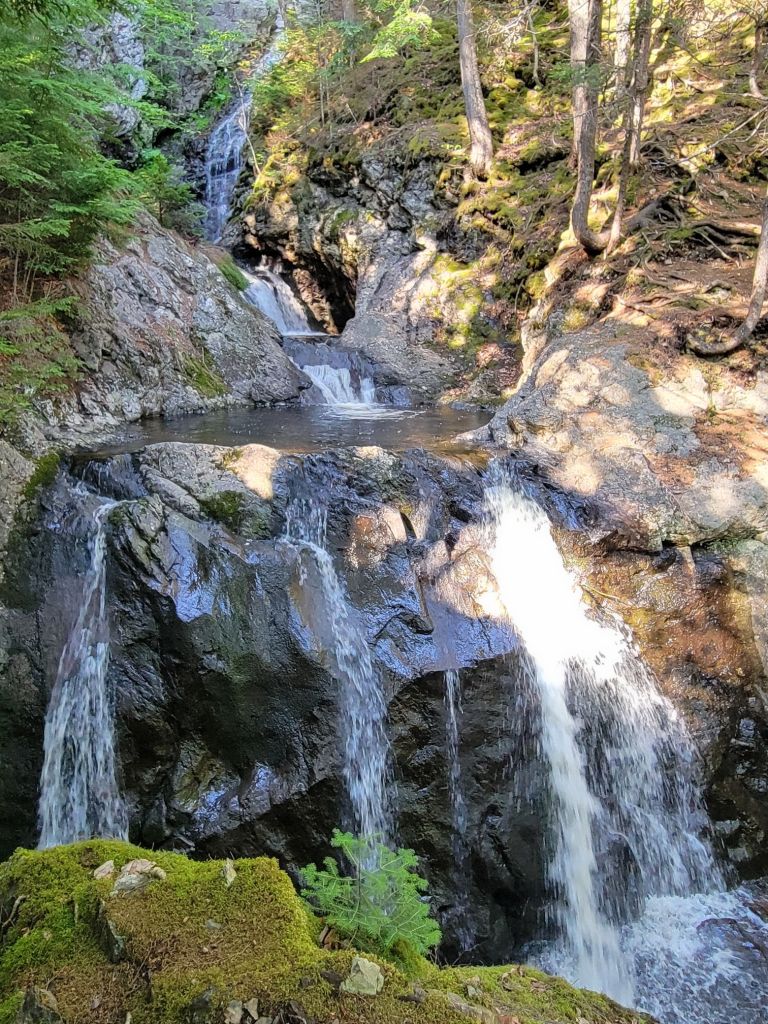
After a short 15-minute hike, we arrived at the falls. The pictures really don’t do it justice, although I find that true of falls in general.
All in all, it was a great day. We recorded 14,000 steps, and by the end of the day, I felt every one of them.
Since it was another nice day, we decided to head over to a provincial park in Truro. Greg had picked out a trail for us to hike that would take us past a few waterfalls.
Well, those 14,000 steps we had taken the day before quickly made themselves felt!
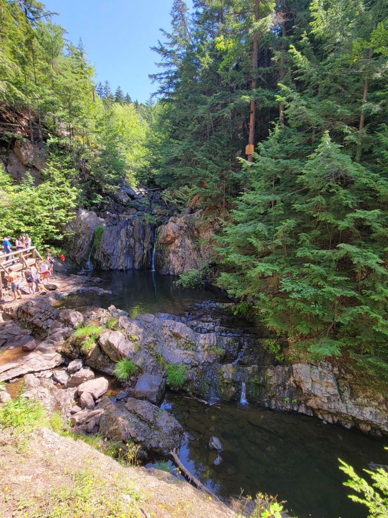
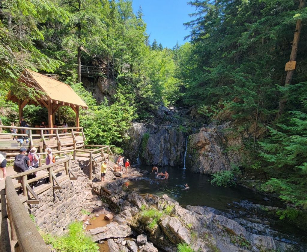
We managed to make it the 1/2 mile to the falls, which were pretty but crowded with people (and a few stinky wet dogs).
The falls right before a crowd of people decided to jump in.And right after a crowd of people jumped in.
Legs aching, we headed back to the car. The rest of the afternoon was spent relaxing in the camper.
After leaving Prince Edward Island, we headed to Truro, Nova Scotia. We will be staying in various locations in Nova Scotia over the next couple of weeks.
The first full day that we were there, it rained heavily all day. We relaxed in the camper. I pulled out a book that I had been waiting for the perfect rainy day to read.
The next day was also dreary, but Greg decided that we were going to go off and do something, damn it. So we headed to the Discovery Center, which turned out to be a different discovery center than the one he had intended to go to.
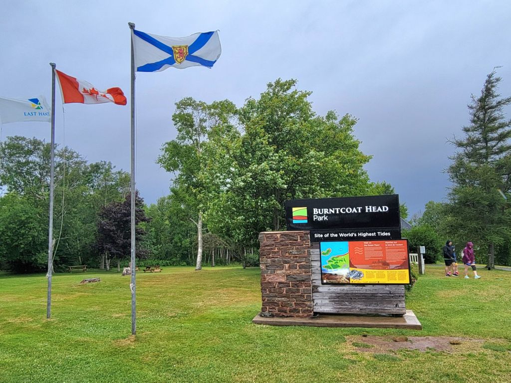
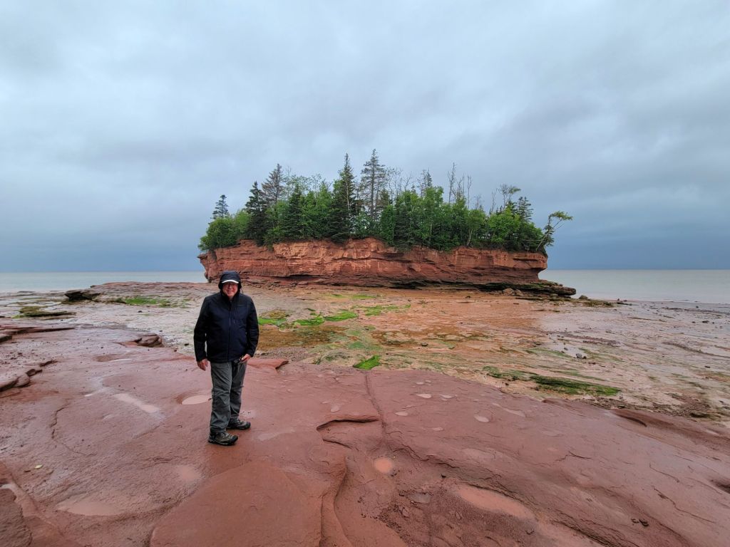
The folks there were very nice. They recommended that while we were in the area, we stop by Burntcoat Head, location of the highest tides ever recorded by the Guinness Book of World Records.
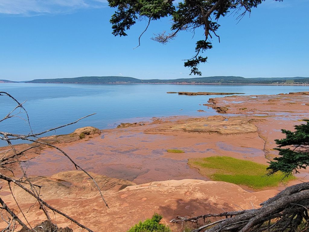
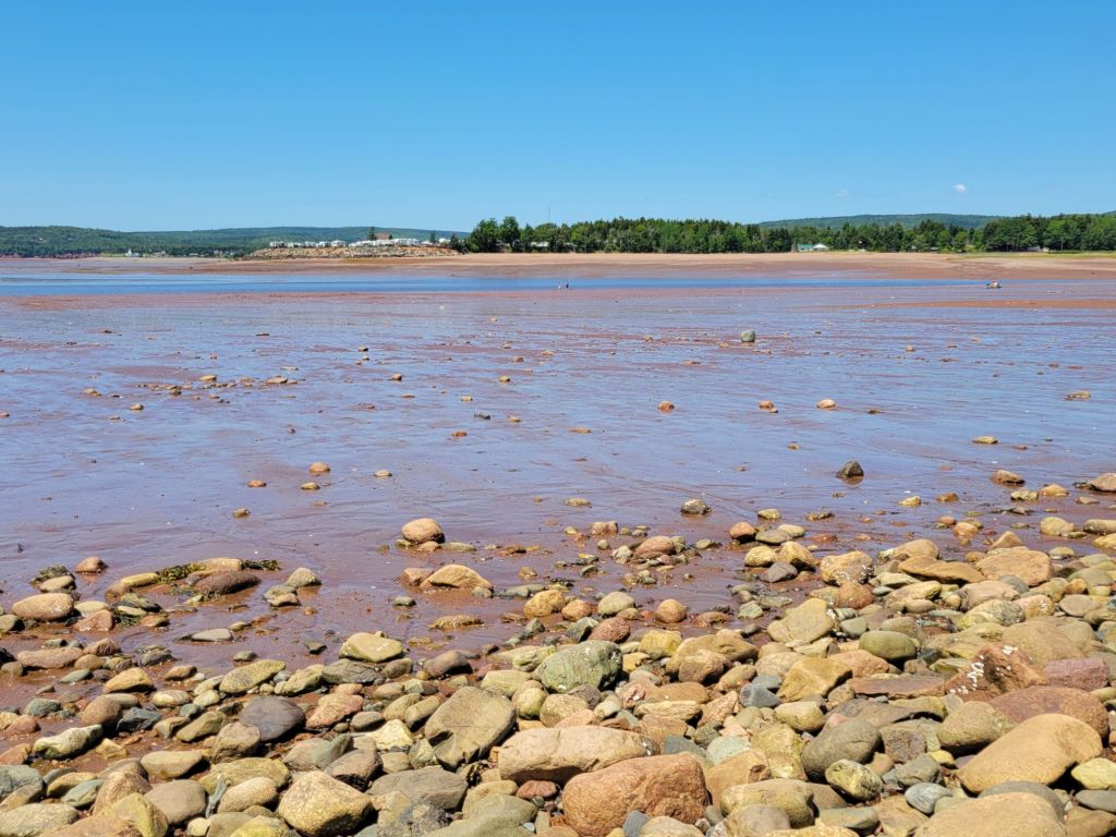
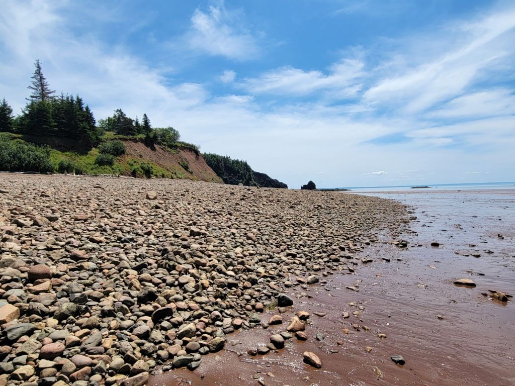
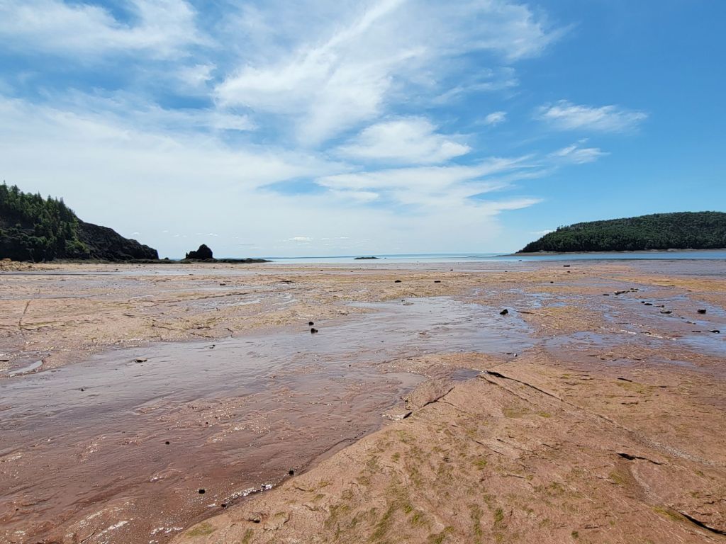
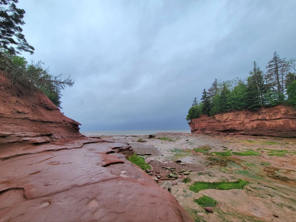
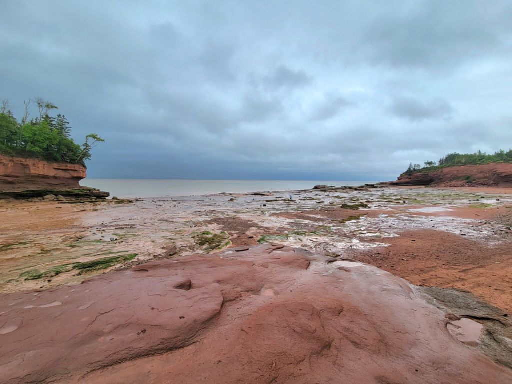
It was coming up on low tide, which I’m beginning to believe is actually the best time to explore the Bay of Fundy.
This photo was taken looking off to the left. The photo below was taken looking off to the right.If you zoom in on this photo and look closely, you can see tiny people near the middle of the photo. This should give you an idea of how much of the ocean floor is exposed during low tide. And low tide is still 3 hours away!
After our visit to Burntcoat Head, we headed back to the camper.
After our stay in Moncton, New Brunswick, we headed to Prince Edward Island. It’s a good thing Greg didn’t plan for more than 2 days on PEI. I think we would have been bored.
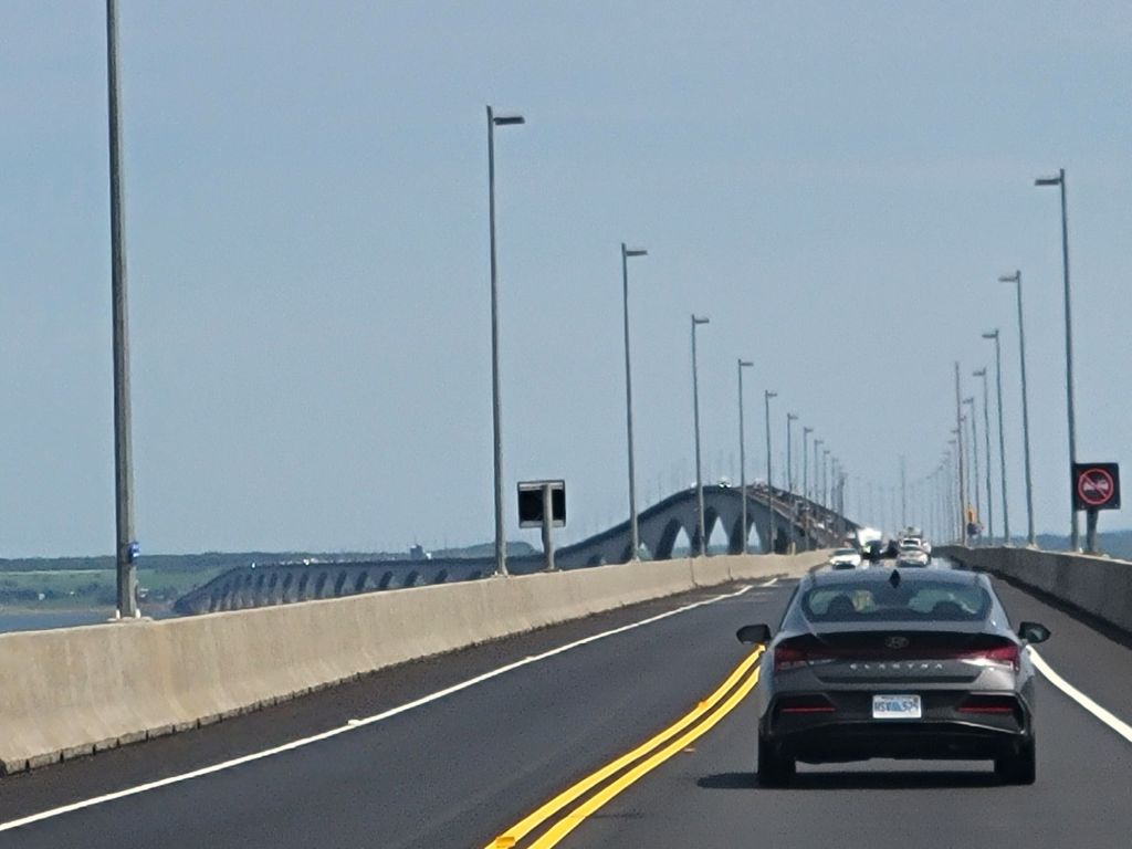
Crossing Confederation Bridge from New Brunswick
After arriving and setting up our camp, we headed to Prince Edward Island National Park to see whether we would like to go biking there the next day. Ultimately, we decided that the trail was too narrow and there weren’t enough interesting things to see. It ran right along the shoreline. There were lots of beaches, but not much else.
Then we went into Charlottetown for dinner. Our kayak tour guide from Moncton had recommended a specific restaurant called Merchantman that we wanted to try. We drove around for a while, trying to find a parking space (this should have been our first clue about things to come) before we were finally successful. Luckily, dinner was good. I had my second seafood chowder of our Canadian trip.
The next day Greg had scheduled an e-bike tour of Charlottetown. Unfortunately, it was a rainy day, so we rescheduled the tour for the following day. Instead, we snuggled up in our RV and relaxed.
The next day we headed off for our e-bike tour under sunny skies, but man, was it windy! Once again, we could not find parking. Greg finally pulled over and called the e-bike tour company to ask if they had any recommendations. They directed us to a parking lot, which turned out to be full. The other parking lot that they directed us to turned out to be under construction. At that point, we gave up and told them we were skipping the tour.
We decided to check out some of the lighthouses on Prince Edward Island next. After following the directions to our first lighthouse and discovering that it was down a private road that we were not allowed to trespass on, we gave up on that idea as well.
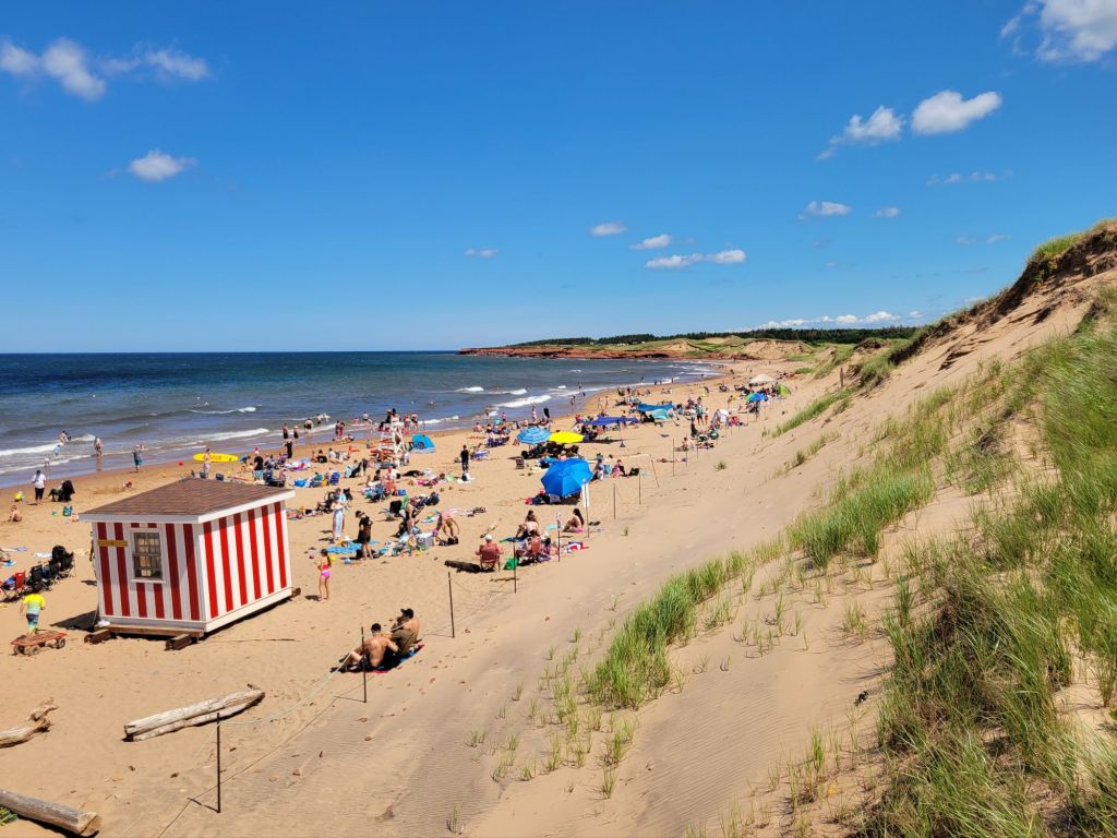
I suggested that we go check out Cavendish Beach since it was one place that Google recommended as a sightseeing destination for tourists. At this point, we were beginning to realize that Prince Edward Island is largely a beach destination for Canadians. Greg and I are not beach people.
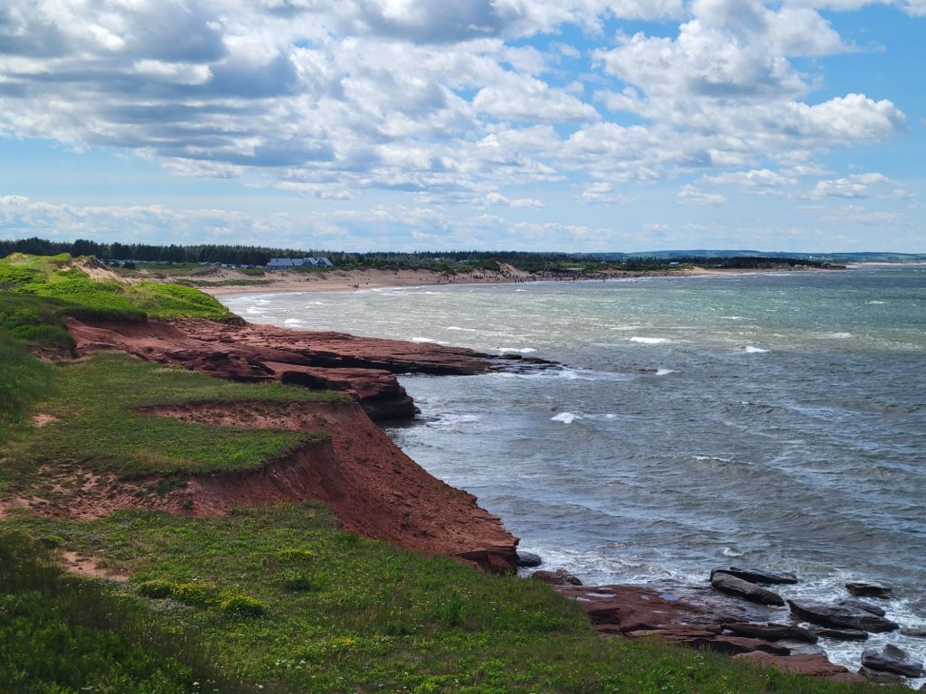
It was a very windy day with a crispness to the air, but the size of the dunes protected the beach goers from most of it.
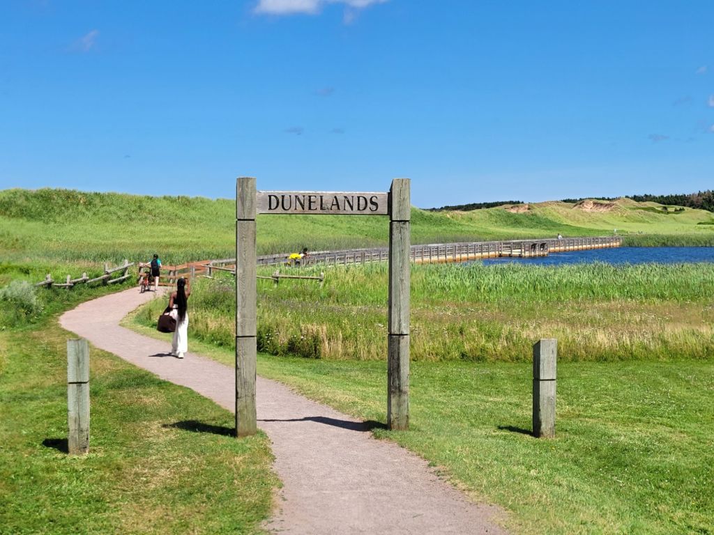
After checking out the beach, we walked in the opposite direction along the Cavendish Dunelands Trail until we reached an overlook.
Looking right from the overlook Looking left from the overlook
I couldn’t talk Greg into checking out the Anne of Green Gables house, so we headed to Victoria by the Sea for an early seafood dinner.
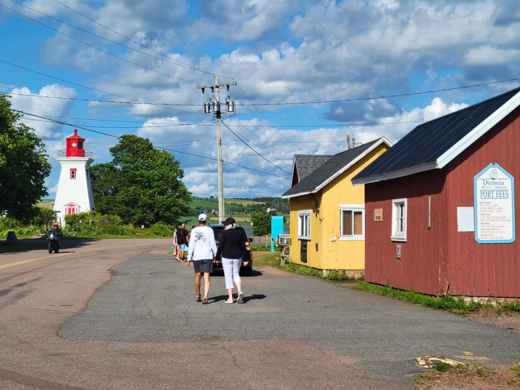
A lighthouse. At last! And it was only a short walk from the restaurant.
A number of days have passed since the last time I posted. That’s not because we haven’t been doing anything. Our Wi-Fi has been really bad.
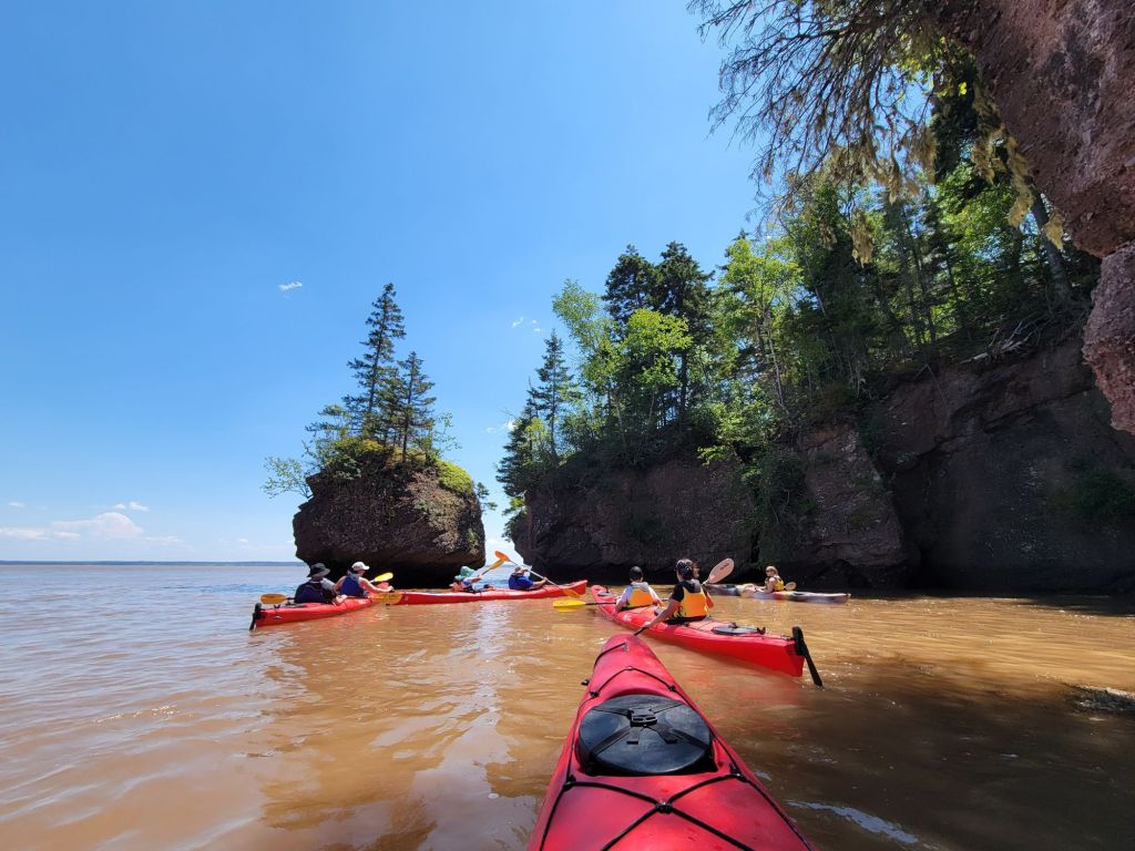
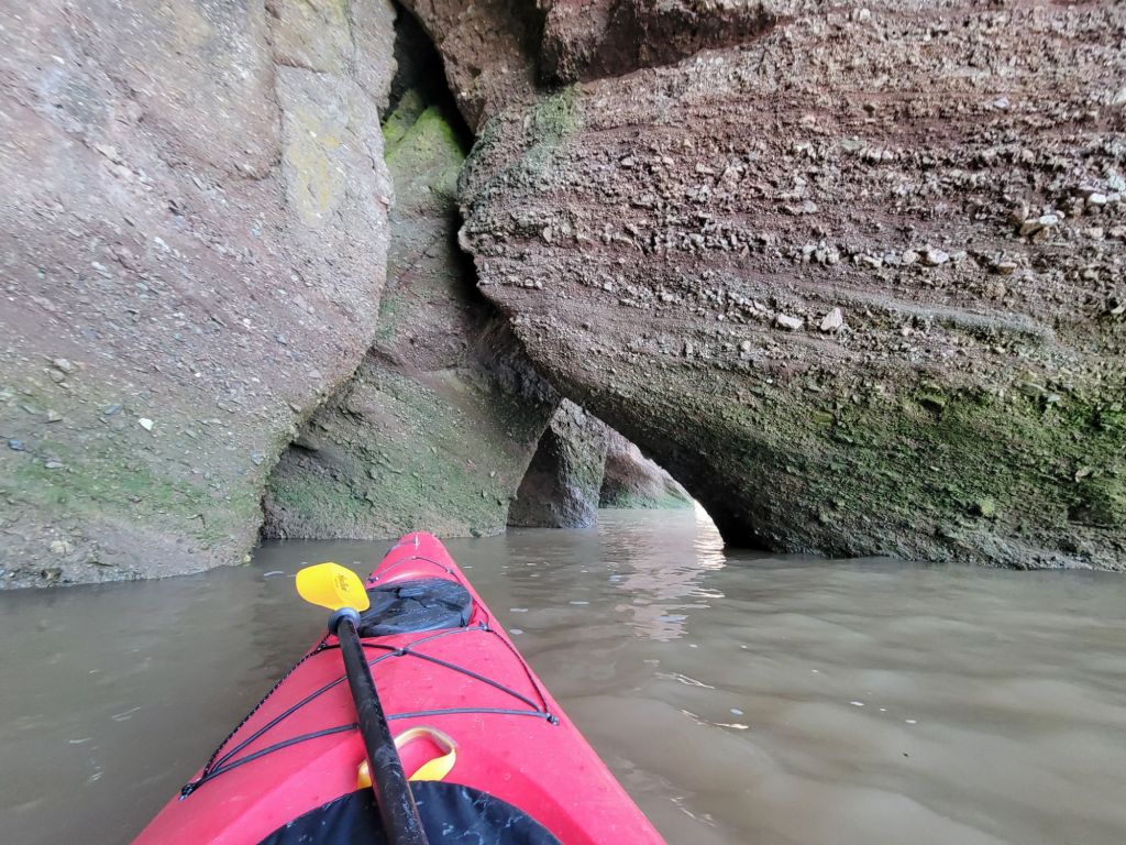
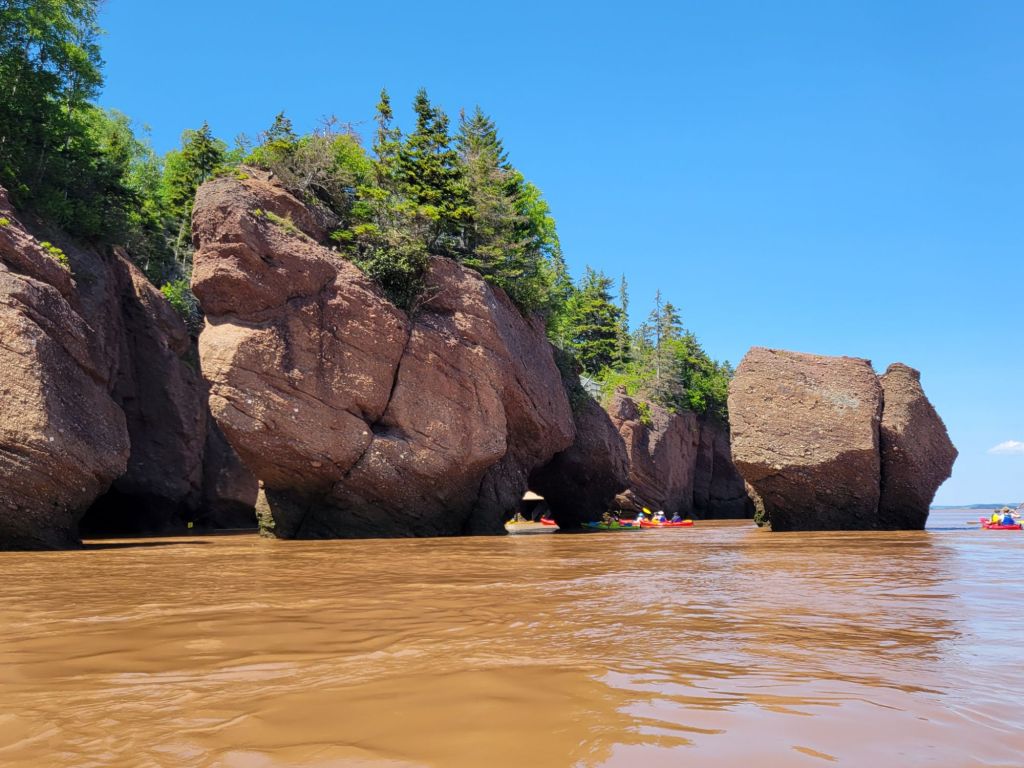
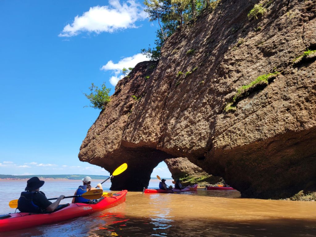
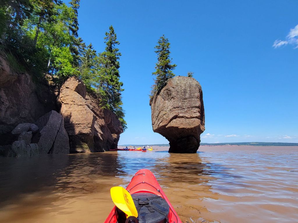
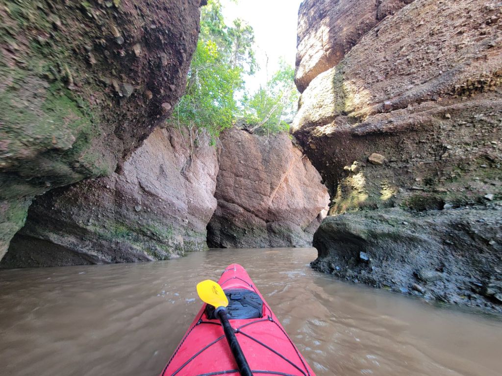
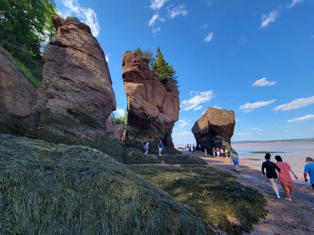
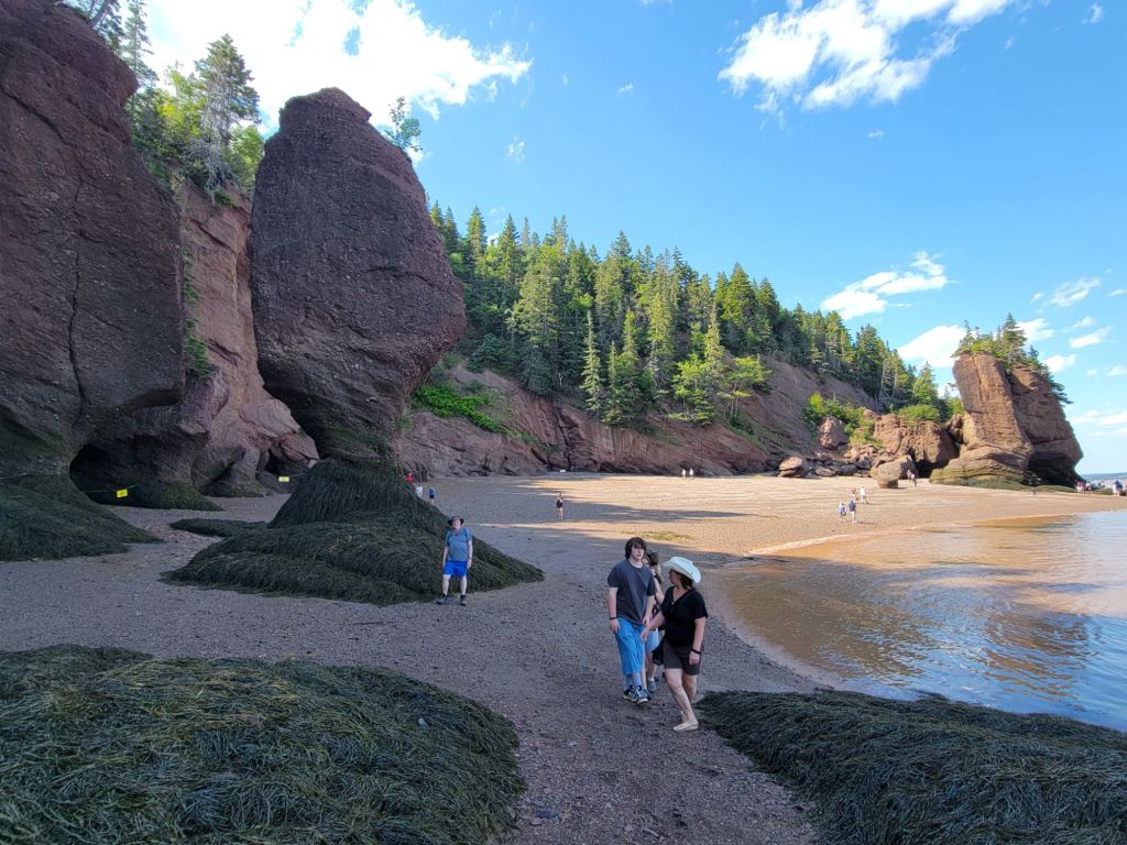
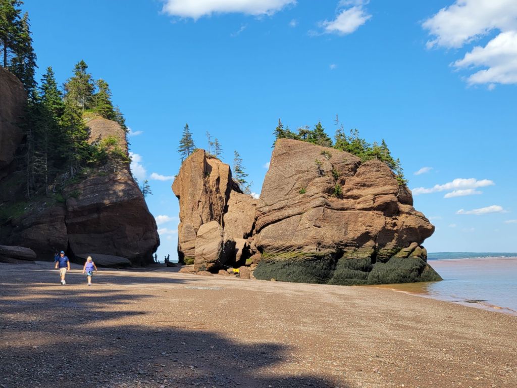
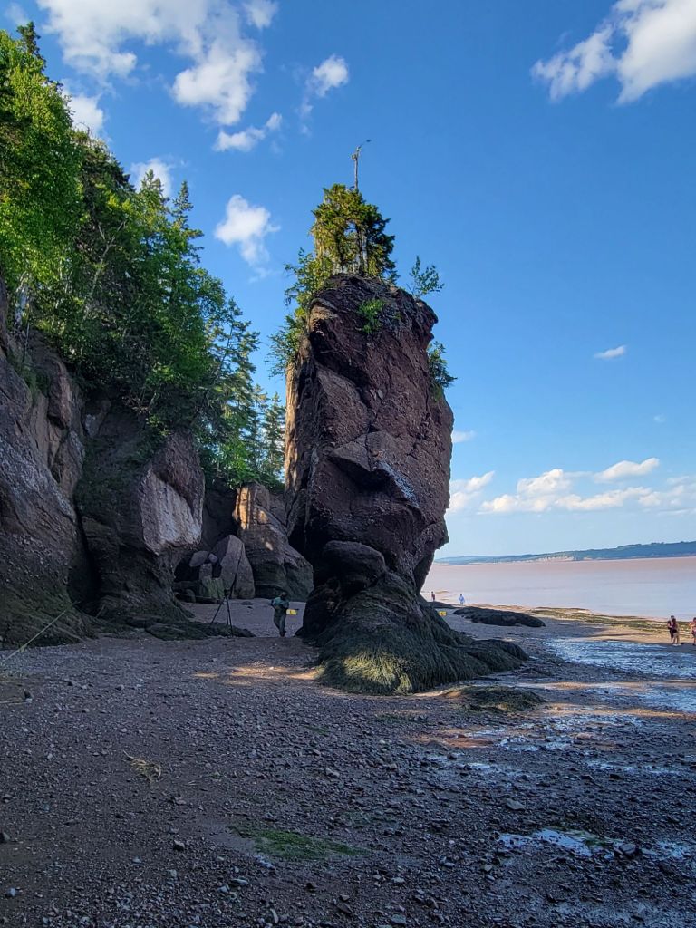
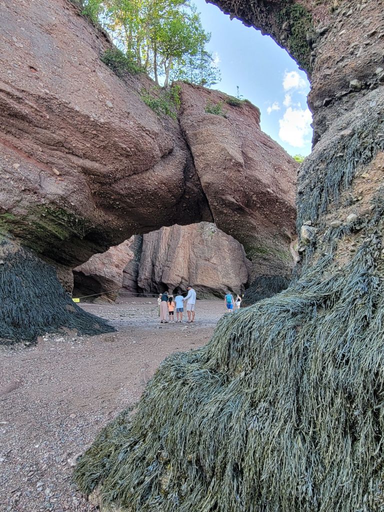
On Wednesday, we did a kayak tour of the flowerpots during high tide at Hopewell Rocks near Moncton, New Brunswick.
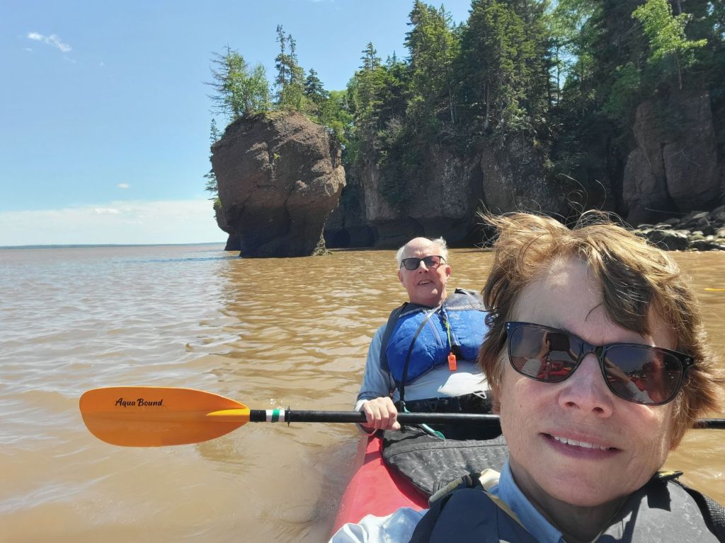
I realized two things on the kayak trip. First, Greg and I are old. We were the oldest participants by far. It felt very strange. I didn’t realize it until I had trouble getting out of my kayak at the end of the tour, while everyone else hopped out of their kayaks like it was no big deal. Then I looked around and didn’t see a single person over the age of 50.
The second thing I realized is that I am becoming physically weak in my old age. If I want to keep doing stuff with the 50-year-olds, I’d better take strength training more seriously!
Kayaking at high tide
I was in the front of the kayak and was the designated photographer for the trip.Greg and I quickly learned that when navigating tricky spots, it was better if I put my paddle on the kayak and let him handle the steering. Our communication skills have not improved in 38 years, which means that he was often trying to go left while I was trying to go right. The result was that we crashed into the rocks.Look how brown the water is. That is due to the 45-foot range between high/low tide and the narrowing of the waterway, forcing the tide up the Bay of Fundy at speed.
Walking the beach at mid tide
We finished our kayak tour around 3:00 p.m. Low tide was scheduled for 8:00 p.m. Our plan was to hang around the park until then so that we could get a picture of low tide.
After changing our wet clothes, we went to the cantina and enjoyed an ice cream. Then we wandered over to the nearby overlook to check out the rocks from above that we had earlier kayaked around.
I was absolutely astonished to see this scene.
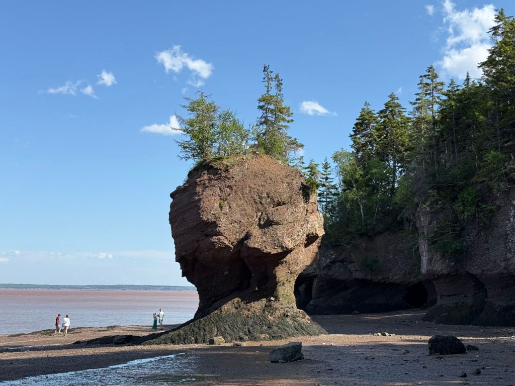
In about an hour and a half, the tide had fallen far enough that you could walk among the flowerpots.
We had just kayaked around those stones!
After getting our 12,000 steps in by walking up and down the shoreline, we took the shuttle back to the visitor center.
As we were waiting in line for the shuttle, everyone started talking about the World Cup game. The match between Argentina and England was playing at the time. Not being a sports fan myself, I found it interesting the way that sports can almost instantly create a sense of camaraderie among total strangers.
Once back at the visitor center, we headed to the restaurant for dinner.
One thing I’ve noticed about Canadians is that they tend to be very overweight, particularly the women. In fact, I think they may have an edge over Americans in terms of obesity. From what I have noticed when we eat out, vegetables do not seem to be an essential part of meals here, which may explain things.
As we were coming out of the restaurant, we could see down the hill to the bay. Once again, the scene had completely changed.
Hopewell Rocks mud flats at low tide
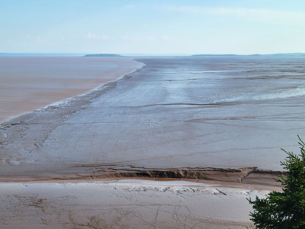
The tide had fallen far enough that the mud flats of Fundy Bay were exposed.
Yes, that’s mud…almost as far as the eye can see.To the left is the water of the bay. To the right are the mud flats.
Shediac Lobster Boat Tour
On Thursday, we headed to Shediac to take a boat tour and enjoy a lesson in lobster fishing.
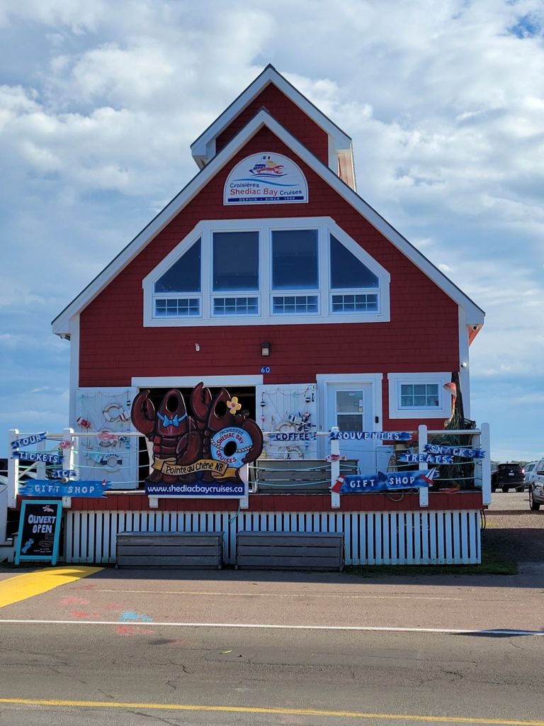
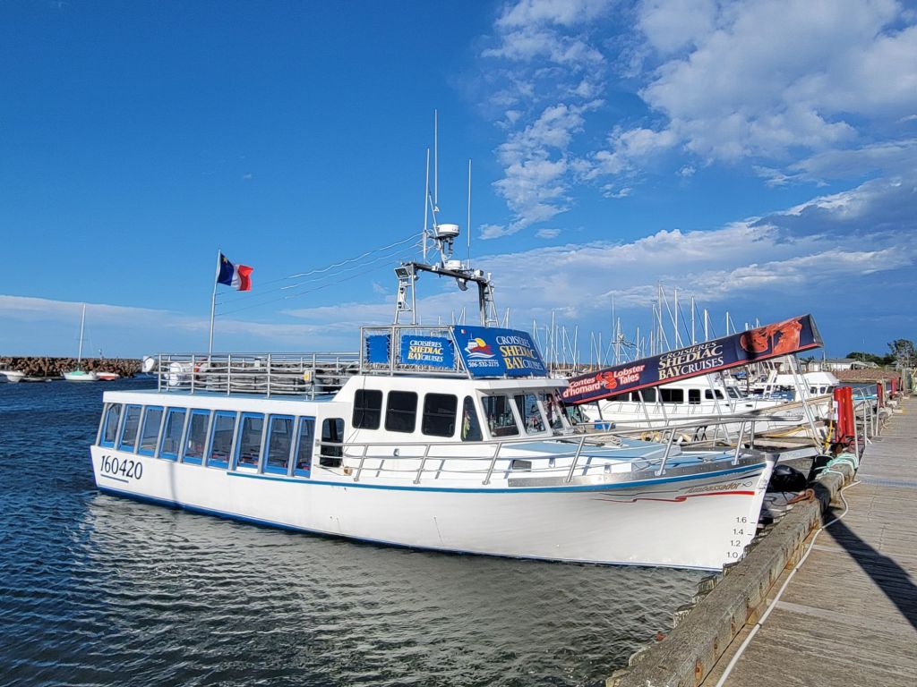
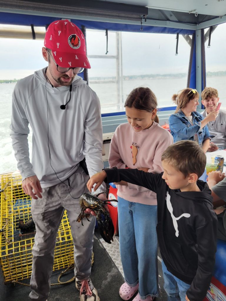
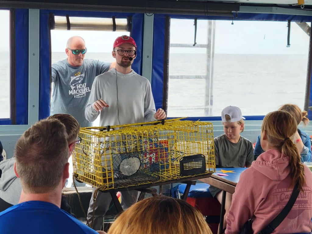
The tour company was called Shediac Bay Cruises, and the tour was called Lobster Tales.Our boatChris, our tour guide, is encouraging the kids to pet the lobster.
Since New Brunswick is a bilingual province, most of the tours are conducted in French and English. Our tour guide would speak a sentence in English and immediately repeat it in French. The constant back and forth meant that I really had to pay close attention to catch the English portion of his lecture. Thankfully, he had a microphone that worked very well at projecting his voice, so at least I didn’t have to worry about hearing him too.
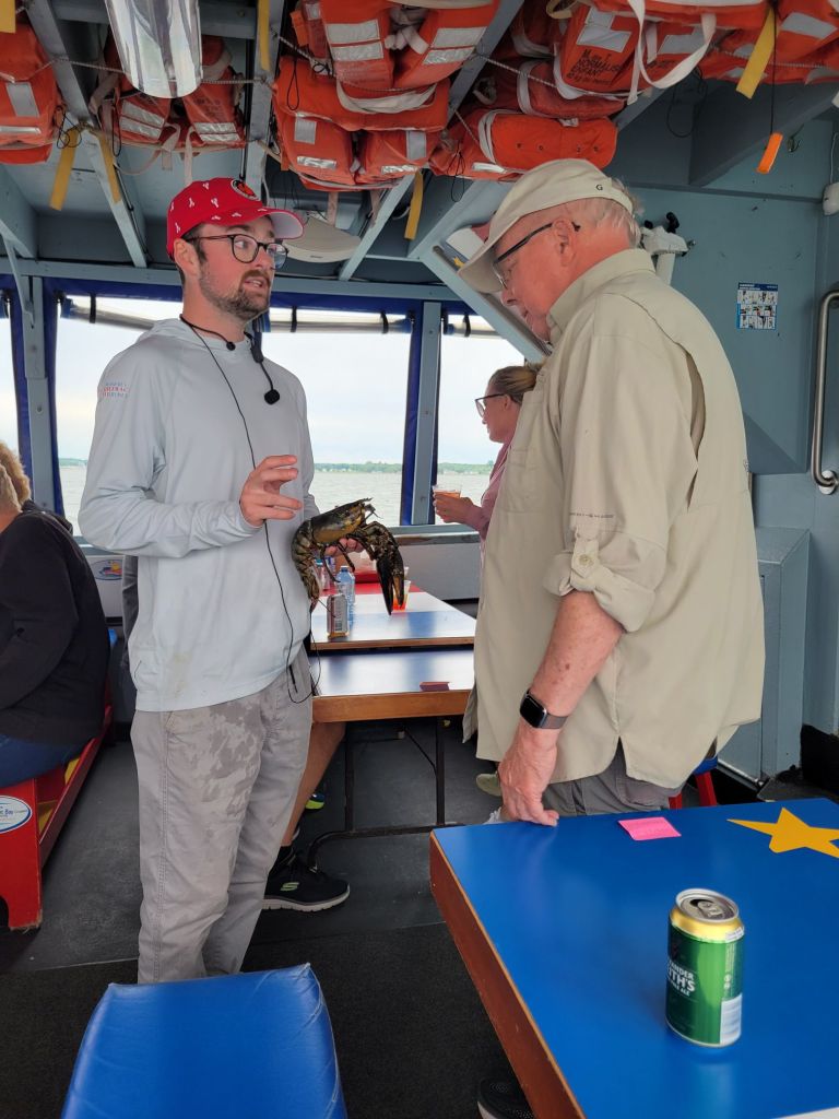
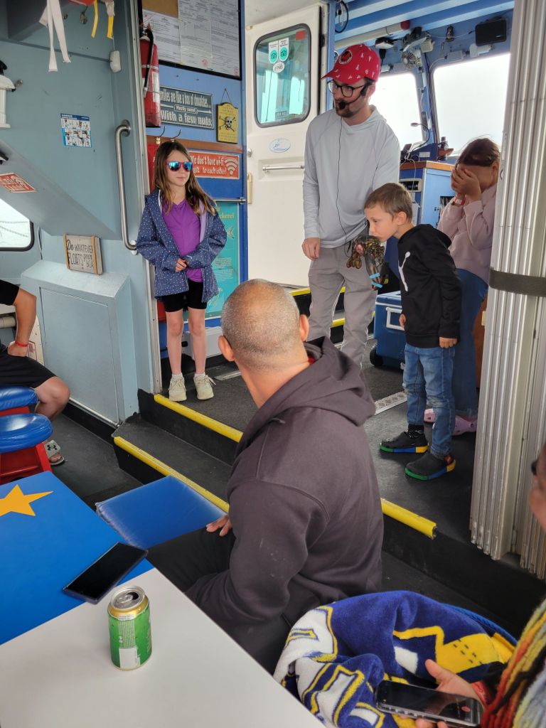
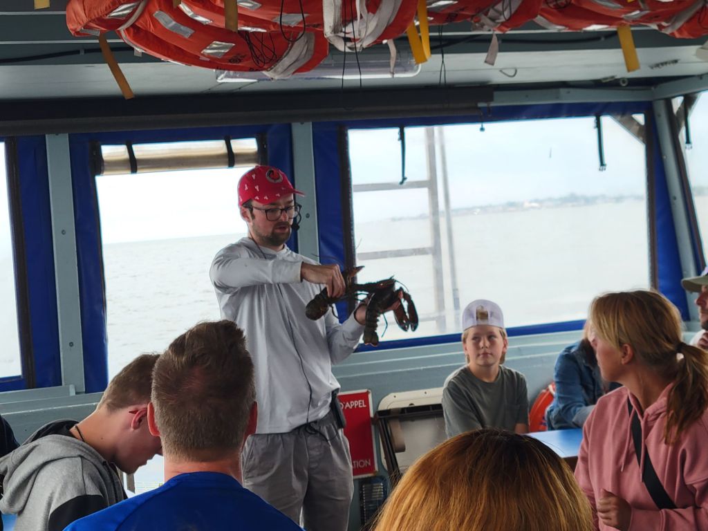
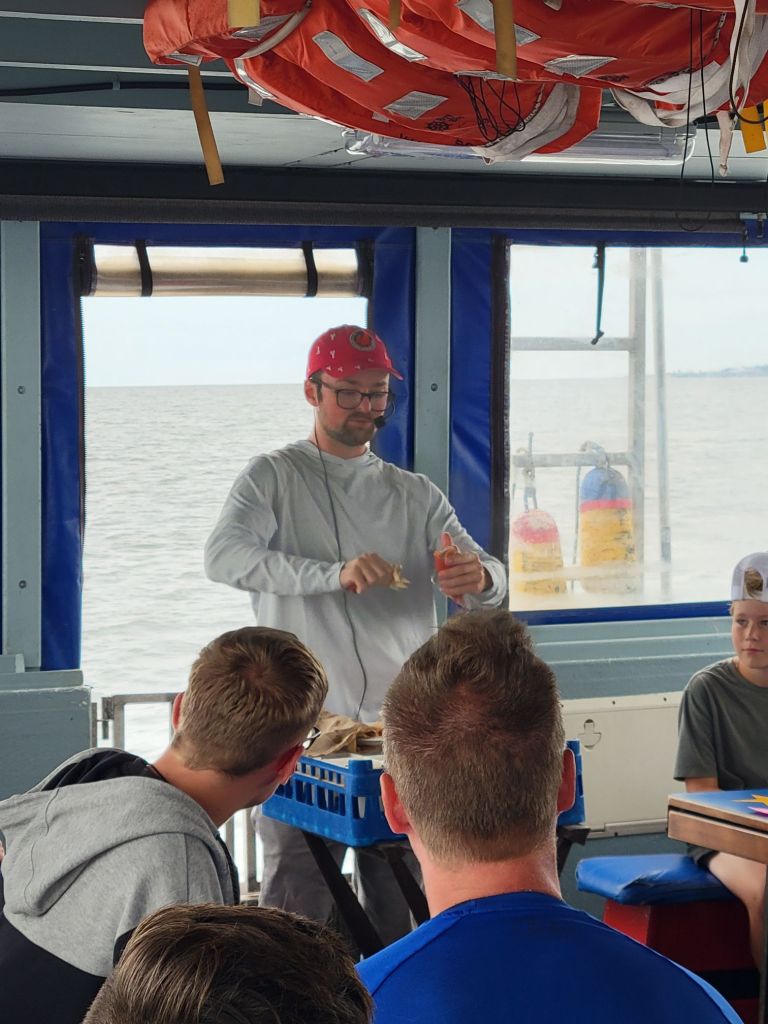
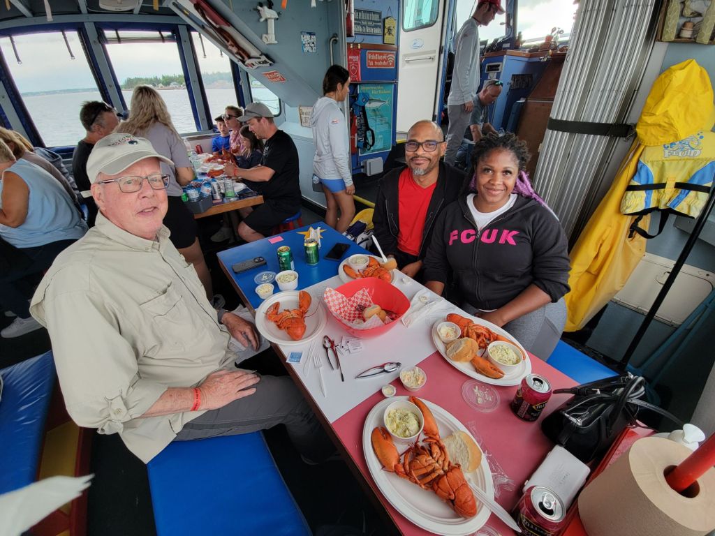
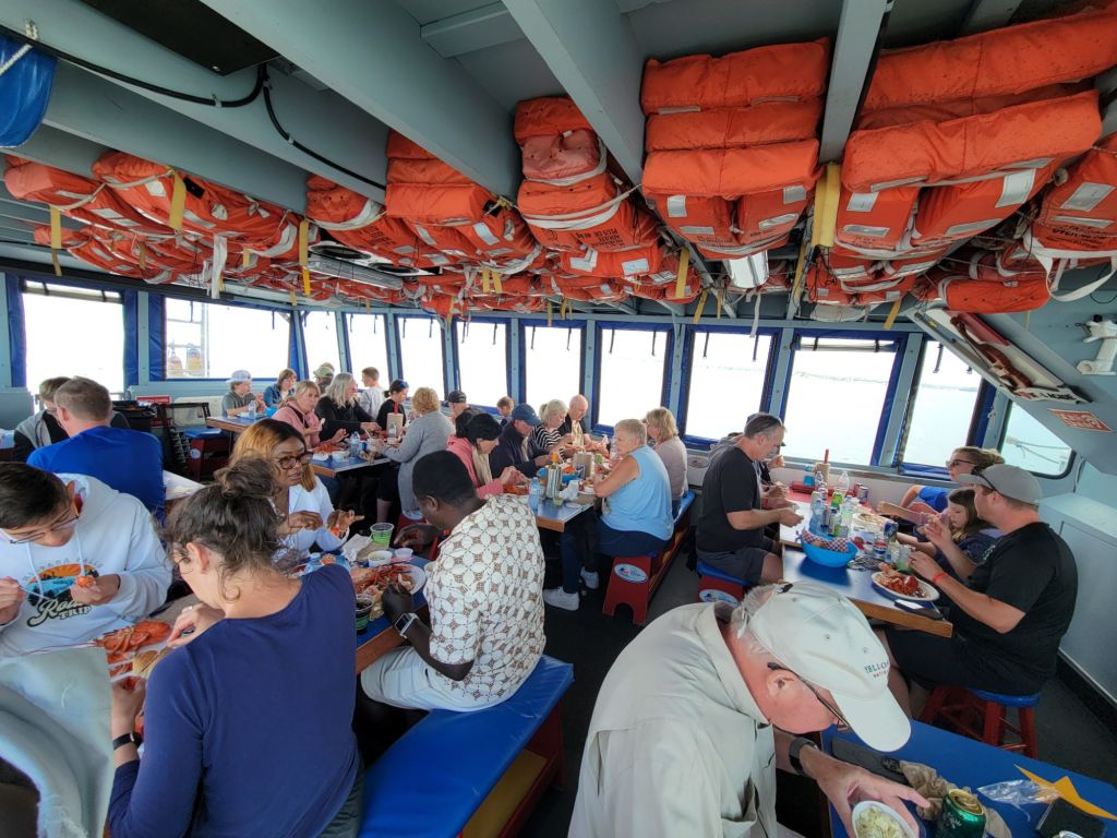
Greg, getting his own private lesson in lobster physiology.Here, Chris is showing the kids how to put the rubber bands on the lobster’s claws.After everyone got a turn putting bands on the claws, Chris had the kids kiss the lobster.Chris is explaining the difference between a female and male lobster. Chris is explaining how the lobsters are caught and how to measure them to determine whether they can be kept.The best part of the whole lecture! How to eat a lobster.Dinner is served. We shared a table with a lovely couple from Ontario named Damion and Shenique.
Along with our lobsters, we had rolls, potato salad, and coleslaw. We had our choice of water or soda, but there were also alcoholic beverages for sale.
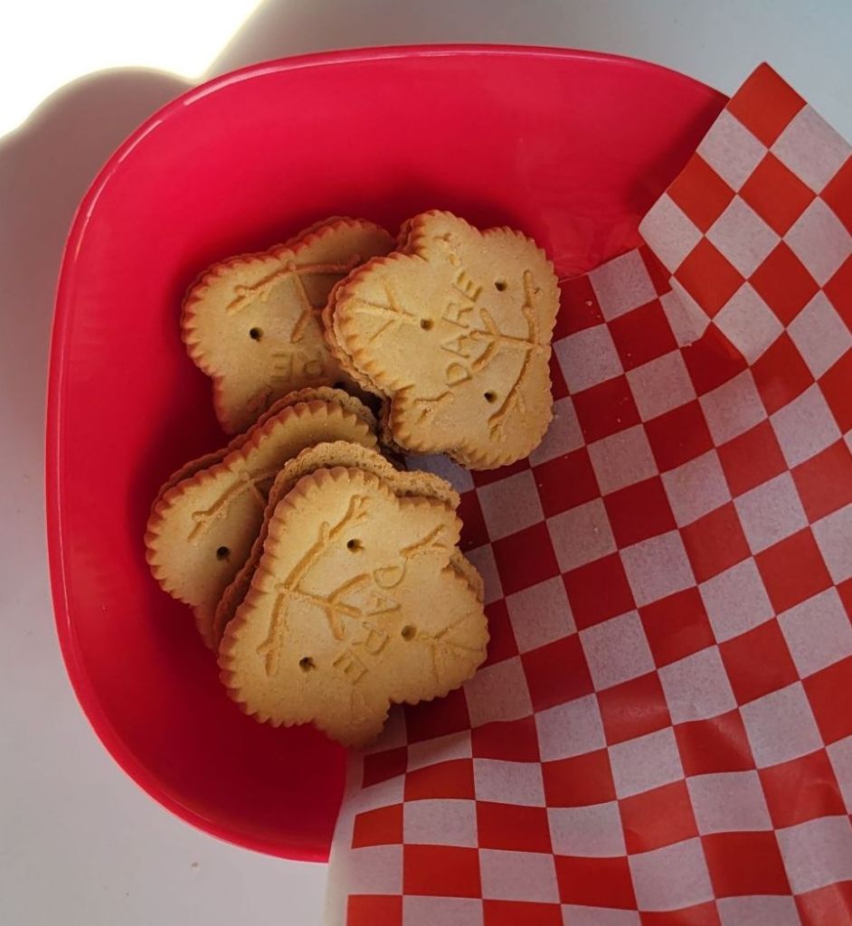
And for dessert, we had maple cookies. Shenique told us that we could buy them at the local grocery store, which we did the next day. They were so yummy!
Since I have been hearing a lot of people speaking French since we arrived here, I asked Shenique about the Canadians who speak French. She said that most of the French speakers are in Quebec, Montreal, and New Brunswick. Some of them speak only French. Some can speak both French and English. Most of the English speakers seemed to speak only English. In other words, a lot like things are in the US between Spanish and English speakers.
Tidal bore, Bore Park, Moncton, NB
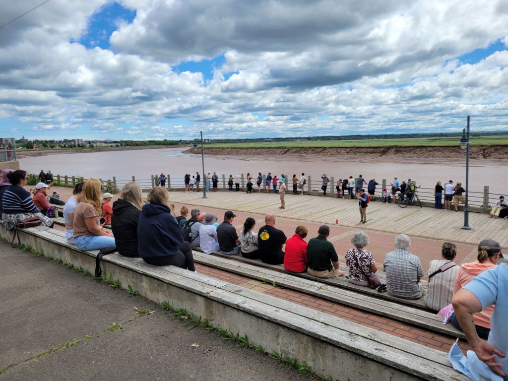
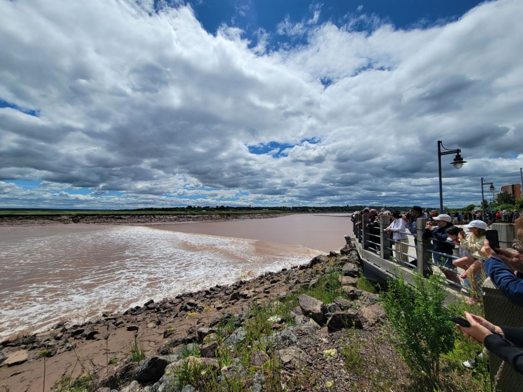
On Friday, we headed into Moncton to view the tidal bore at Bore Park. There is a viewing stand there, and about half an hour before the tidal bore occurs, a guide comes out to talk about it. Unfortunately, we missed his talk because we were running late.
The guide is just finishing his talk as we arrive.
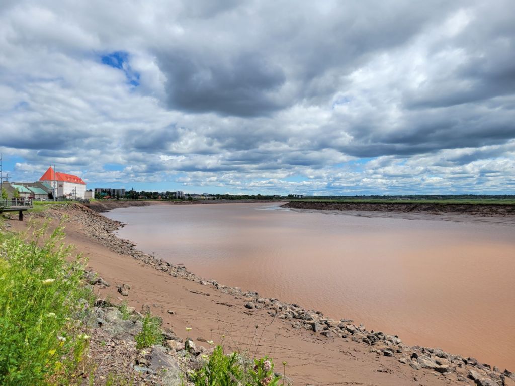
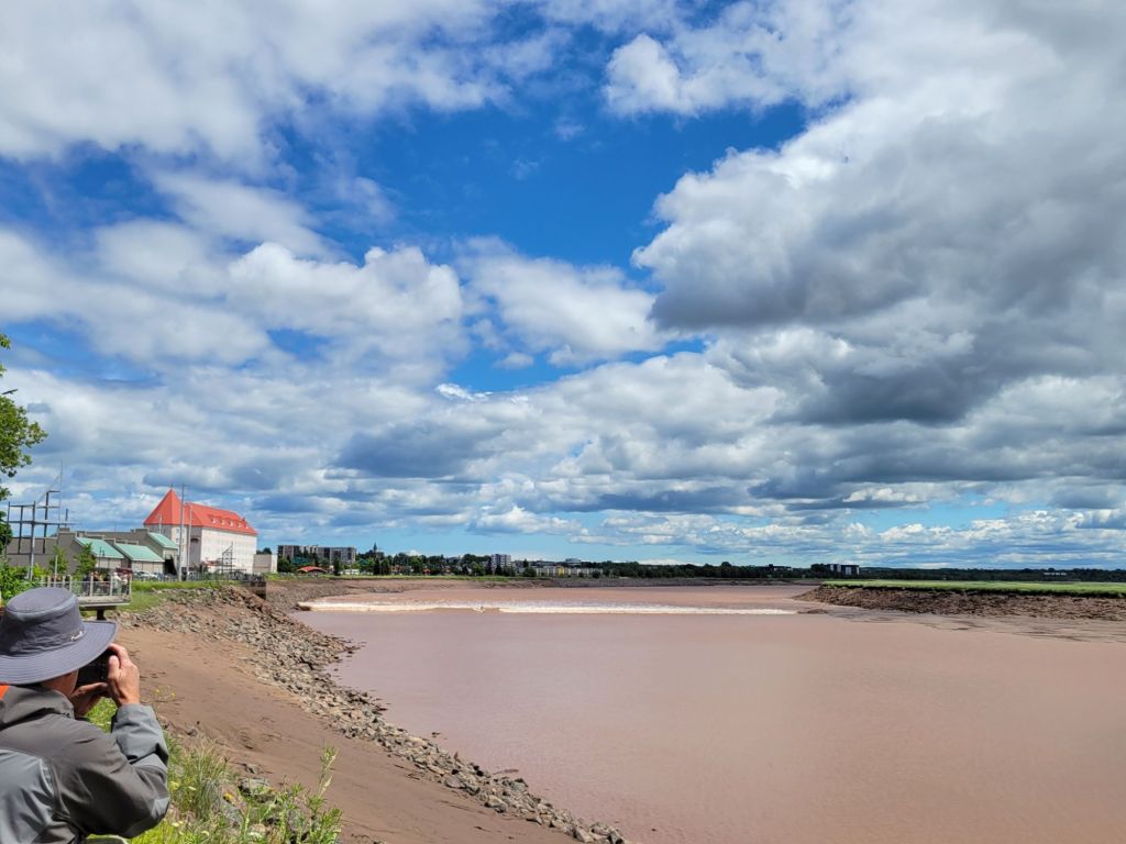
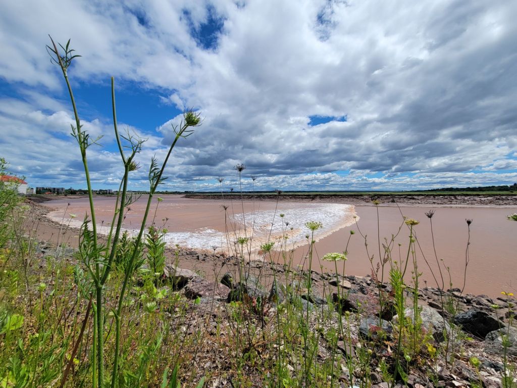
A tidal bore is a wave, in the form of a wall of water, formed by an incoming tide funneling into an estuary.
All is quiet.Here it comes! If you look carefully, you can see a surfer riding the wave. He’s about a third of the way in from the left side. A few minutes later, he falls off his surf board.
Now we are off to Prince Edward Island for a few days.
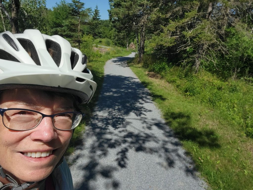
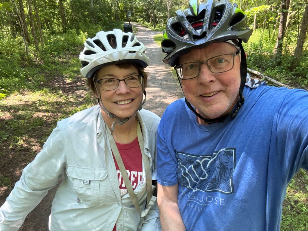
Yesterday, Greg and I took the bikes and rode the Sussex Nature Walkway (also a bike trail) from one end to the other, which was only about 5 miles in length.
The trail reminded me a lot of the Struble Trail in Downingtown, only not as wide, and gravel rather than paved.
Afterwards, we took our laundry to the local laundromat.
Matthews Head Trail
Today, we headed back to Fundy National Park to hike the Matthews Head trail.
Unfortunately, the parking lot at the trailhead was full. We headed down to the next parking lot with the thought that we would hike up to the trailhead.
Ugh. After nearly a mile of climbing straight up, we decided to cry uncle.
So we took a little rest before heading back down to the car.
The view that Greg was photographing in the photo above this one.
Afterwards, we headed to the grocery store to buy some vegetables that could be cooked. No cyclospora for us!
Today, we headed to Fundy National Park to do a couple of short hikes. Over the course of the day, we did 16 staircases. All of the hikes went down and then up again.
Dickson Falls
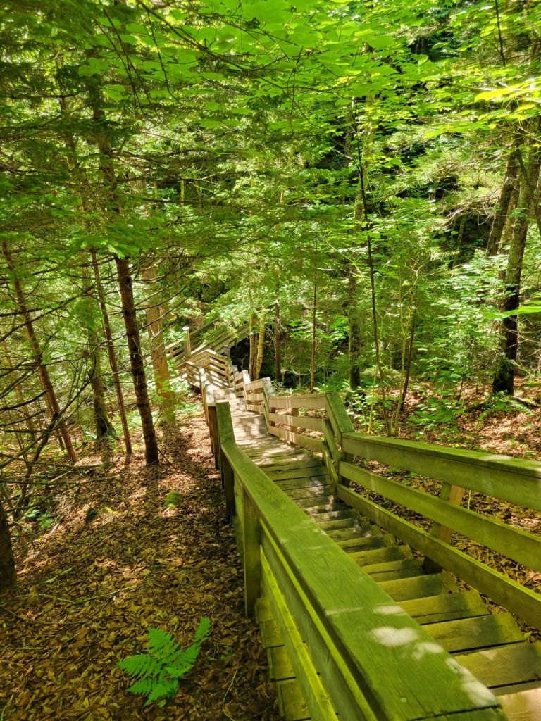
Our first hike was to Dixon Falls. We started by descending a wooden staircase into the heart of the forest.
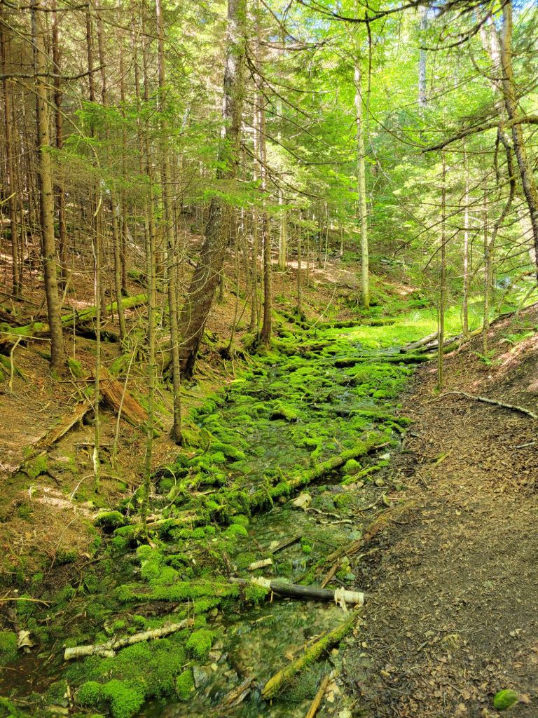
The moss turned the forest into something out of Lord of the Rings or The Hobbit.
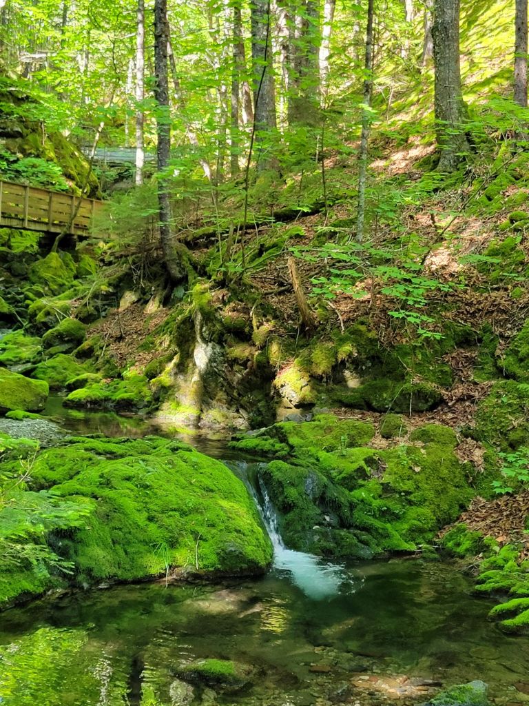
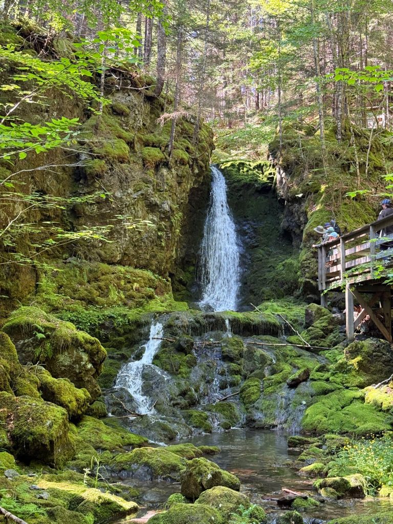
A wooden walkway followed a pretty stream with many small waterfalls until we reached the largest one.
Dickson Falls
Herring Cove
Next, we headed to Herring Cove. Along the way, we drove through this pretty covered bridge.
Herring Cove Returning from Herring Cove
Shiphaven Trail
Then we were off to do the Shiphaven Trail. This trail was another wooden walkway along the cliff overlooking the Bay of Fundy.
One of the overlooks from the Shiphaven Trail.A view of Wolf Point Beach from the Shiphaven Trail.
Wolf Point Beach
The Wolf Point Beach Trail took us down onto the beach itself.
By the time we were finished hiking down to Wolf Point Beach, we were beat. We headed back to the campground, where Greg made Greek turkey burgers for a late lunch, we took a nap, and we watched The Last Airbender on TV.
Today, Greg and I drove nearly 2 hours to take a whale watching cruise from Saint Andrews by the Sea, New Brunswick.
Saint Andrews was nothing like what I expected. Again, I was thinking we’d be visiting a quaint fishing village like the one in the television program, The RepublicofDoyle.
Instead, Saint Andrews was more like an upscale seaside resort town, complete with trendy shops, inns, and restaurants. Since I’m not a shopper, we didn’t spend a lot of time wandering the streets.
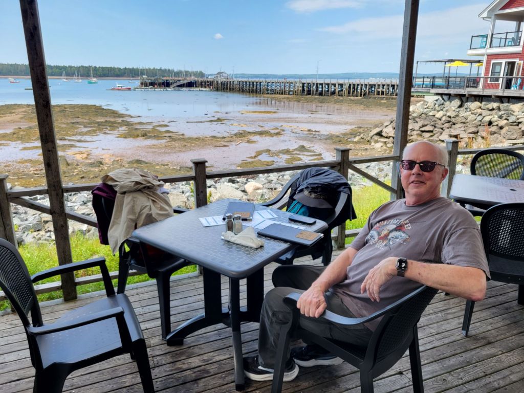
Our first stop was a restaurant called The Salty Bight to get some lunch before our cruise. Once again, seafood was on the menu. We both had the chowder.
As you can tell from the photo, it was low tide.
The waitress told us that the strip of land in the distance was Maine.
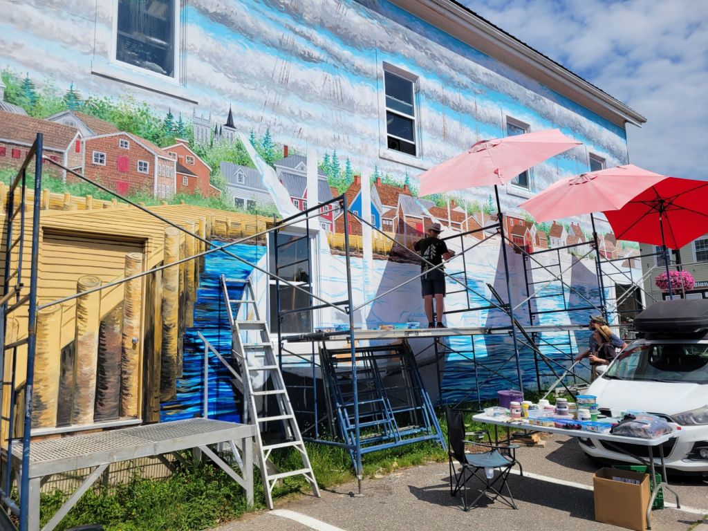
On our way to the wharf, we saw this artist painting a mural.
Whale watching cruise
Holy cow. The difference between the temperature in town vs. the temperature on the water was dramatic. Before we left, I asked one of the company employees whether I needed to take my jacket, since it was sweltering in town. She recommended that I take it.
Boy, was I glad I did! By the end of the cruise, I was wearing my winter hat, my long-sleeved hiking shirt, my sweatshirt, my down jacket, and my wind breaker.
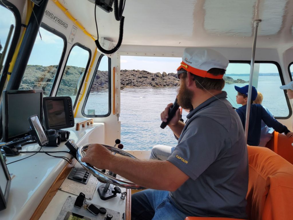
We had a prime seat inside next to the open windows. Those little boys in the background were a godsend. They had eagle eyes and were able to spot wildlife before our captain and the two marine biologists did. There were five kids in that family. They were from the Netherlands.
We saw lots of wildlife on our cruise, although we almost missed our opportunity to see a whale.
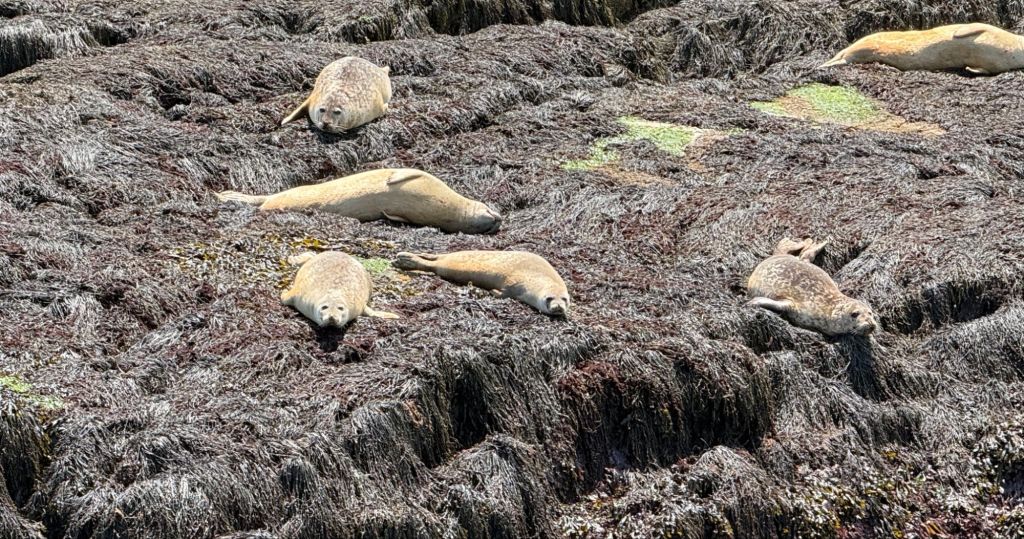
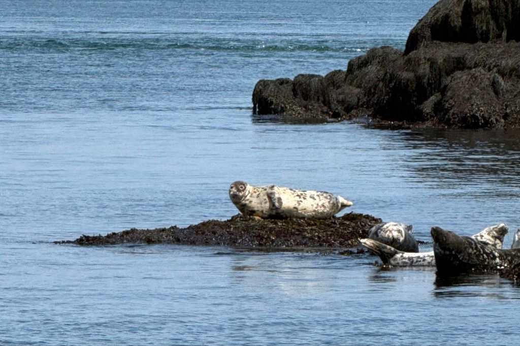
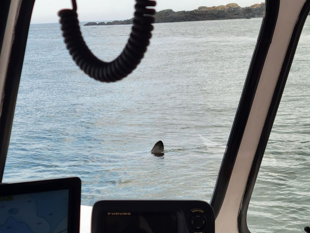
Harbor seals. We also saw some gray seals.A porbeagle shark. He disappeared before the captain was able to turn the boat around so those of us on the other side could get a good picture of him.
We also saw a good number of porpoises, but they were too quick to photograph. It was only thanks to the little boys from the Netherlands that I got to see them at all.
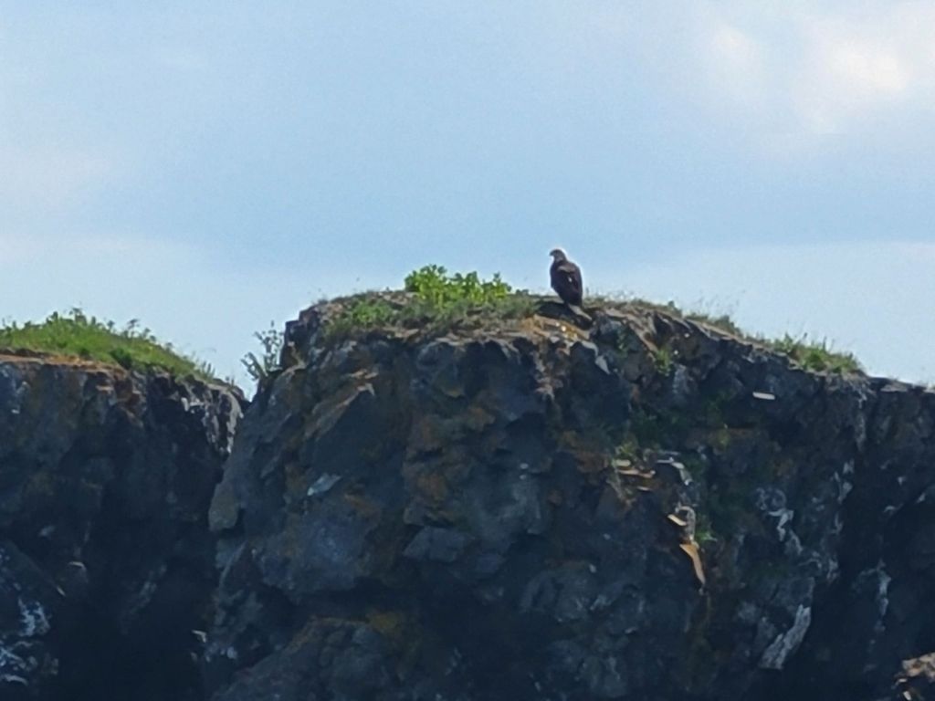
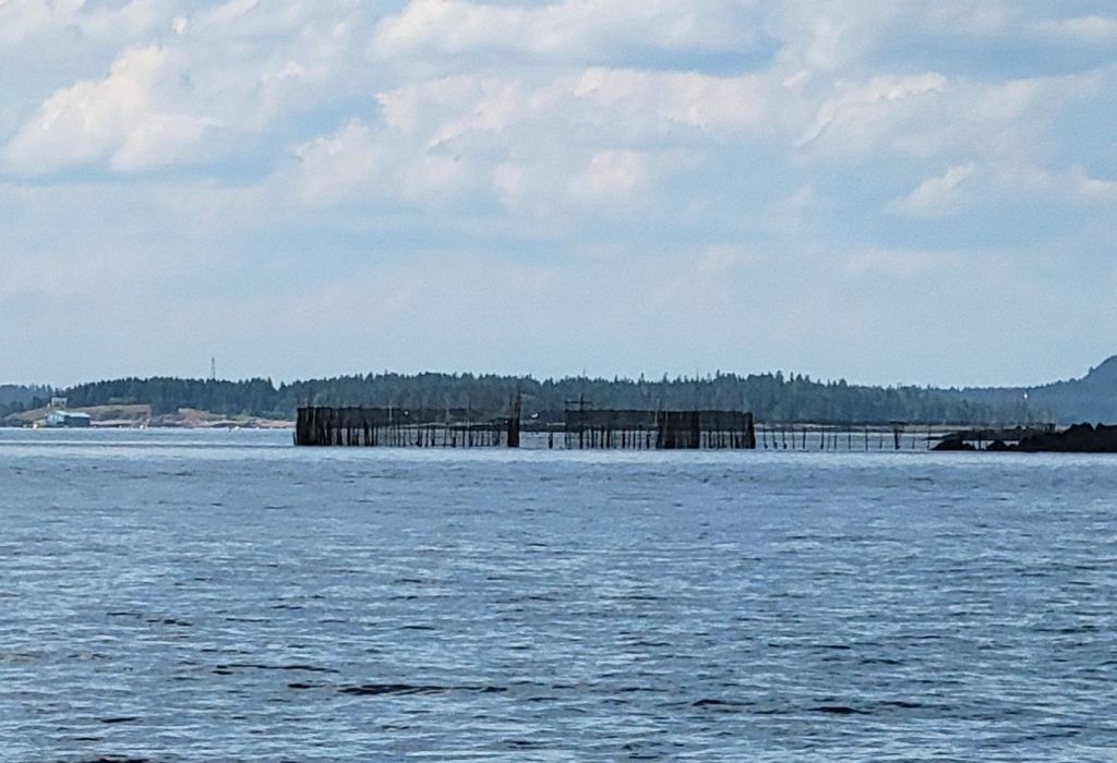
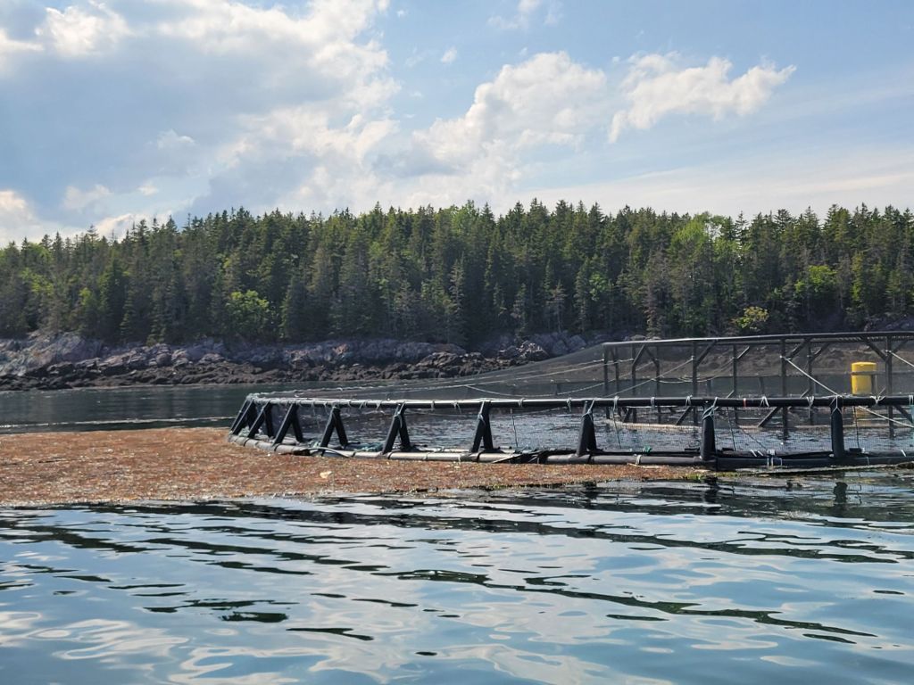
A bald eagle A herring weir for catching herring. A salmon farm. Every few seconds a salmon would leap out of the water.
After three hours, our time on the water had expired, and we had yet to see a whale. Then a report came in from a captain on another boat that a finback whale had been spotted. We headed that way.
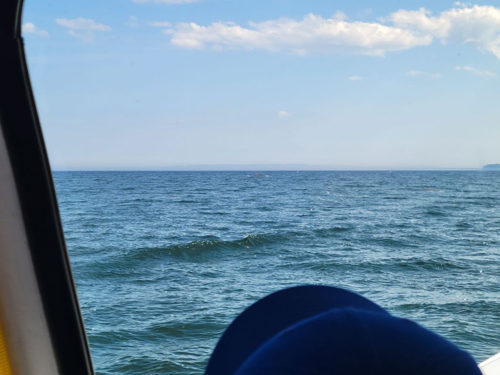
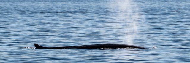
The whale was almost impossible to photograph. He only broke the surface of the water every few minutes for about a second and a half, and we never knew exactly where he would surface. Maybe if I had had Neal’s camera, I would have been able to get a decent photo of him. But if you look very carefully, in the center of this photo near the horizon line, is the back of the whale.This is what the whale looked like when he surfaced. (I didn’t take this photo. Greg found it on the internet.) Finback whales are the second-longest whales after the blue whale.
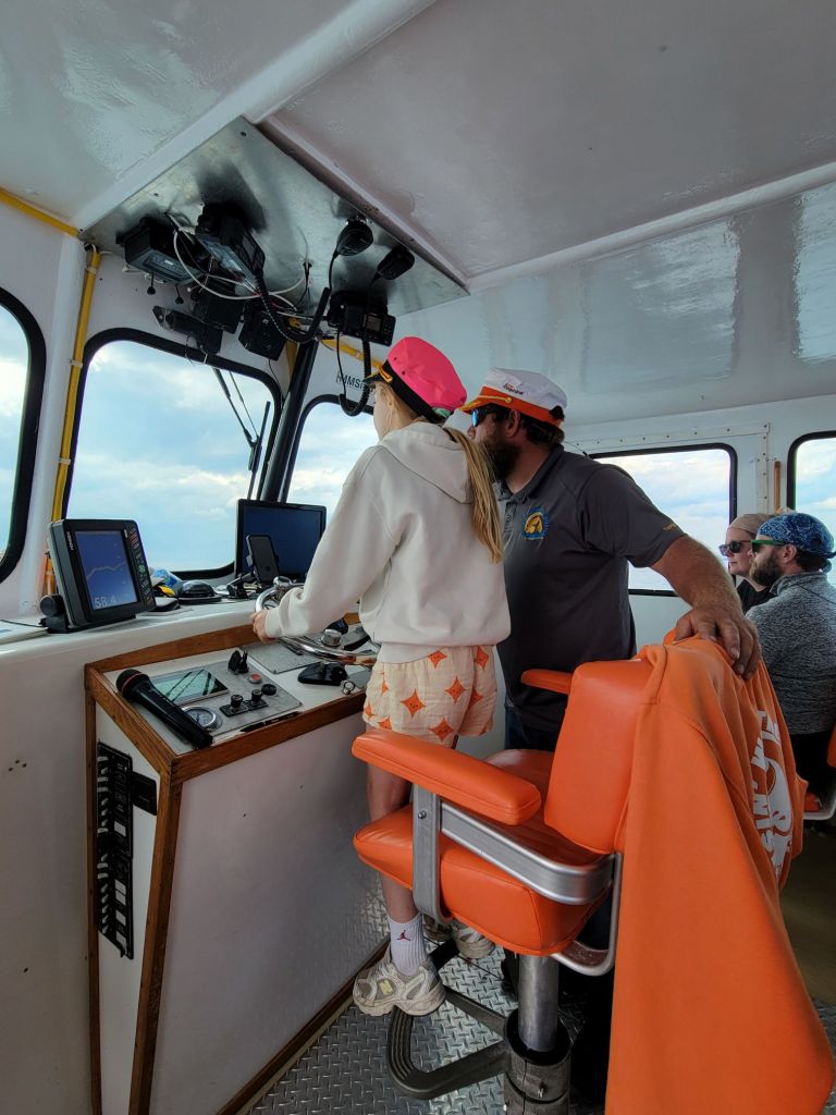
On the way back to the wharf, the captain let the children on board have a turn at the wheel.
This little girl was the oldest of the five children from the Netherlands.
We arrived at the dock and hour and a half late, but at least we got to see our whale!
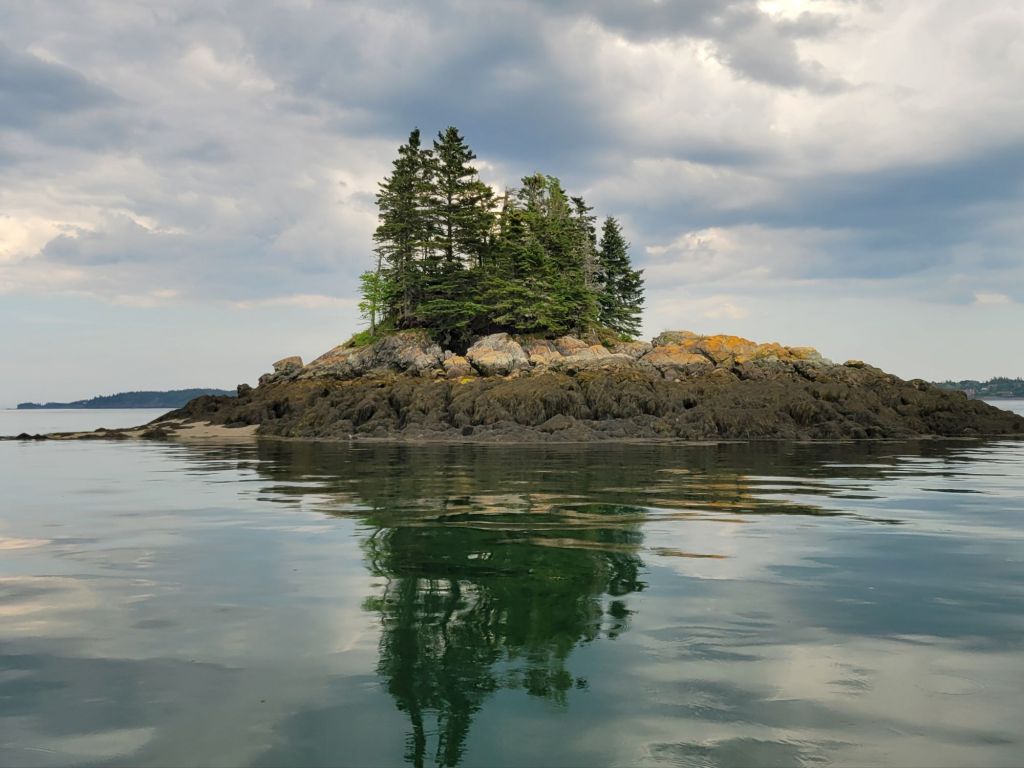
The tides in the Bay of Fundy are fascinating. Because of the tidal bore, some areas of the water were as smooth as glass while others rippled with white caps. Our captain even pointed out a number of whirlpools. At one point, he let go of the wheel, and the boat went around in circles.
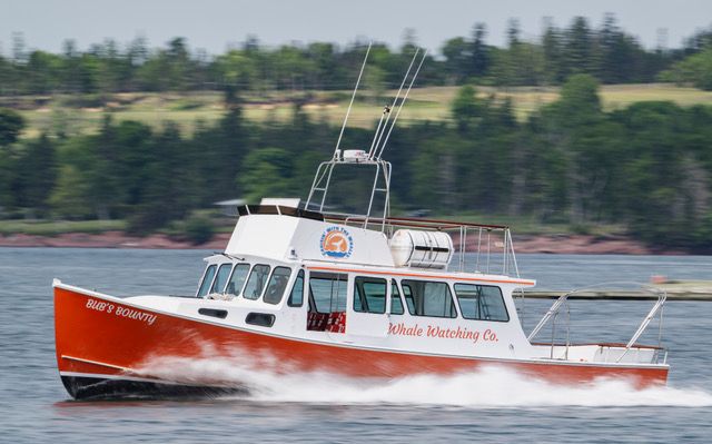
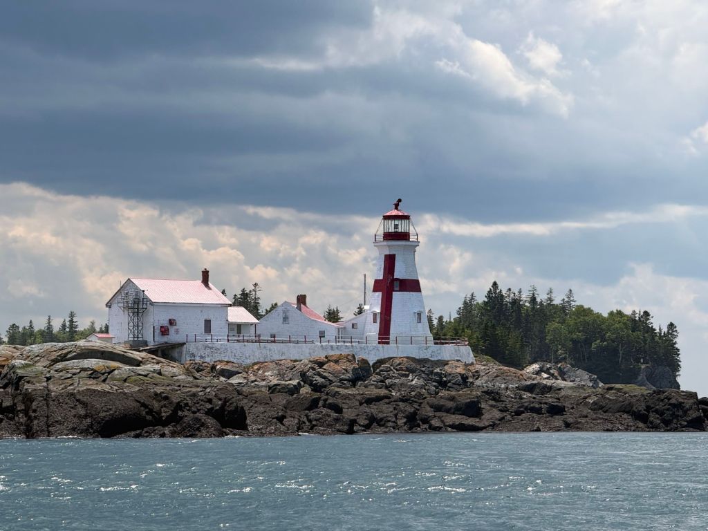
The boat we sailed on.This photo gives some idea of how smooth the water was in some areas and how high the tide rises.East Quoddy Head Lighthouse on Campobello Island