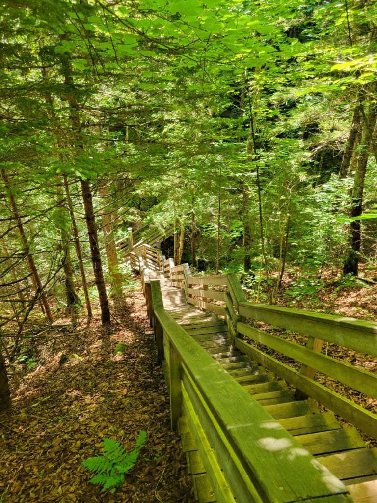
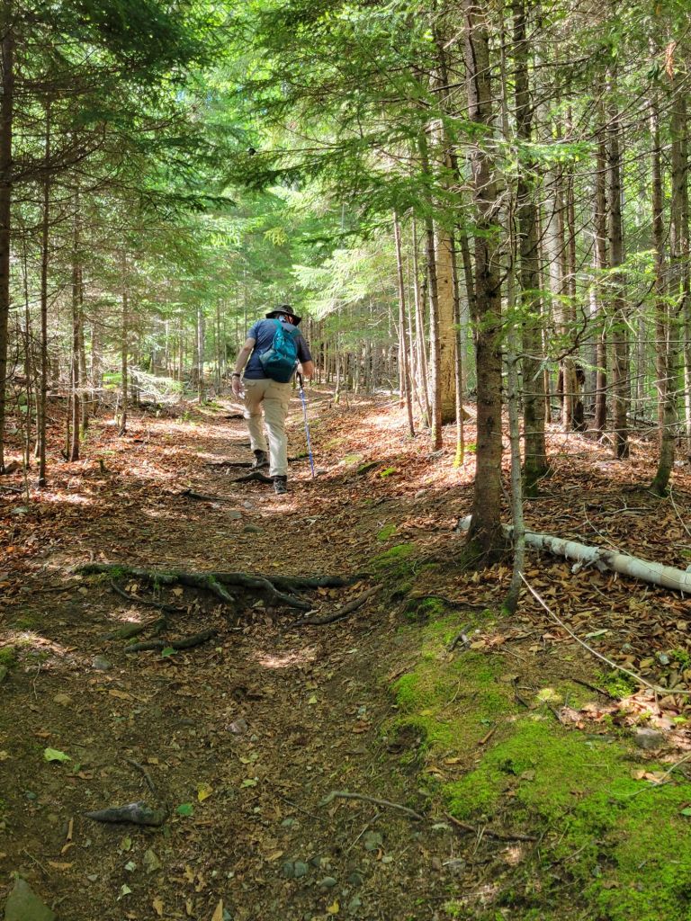
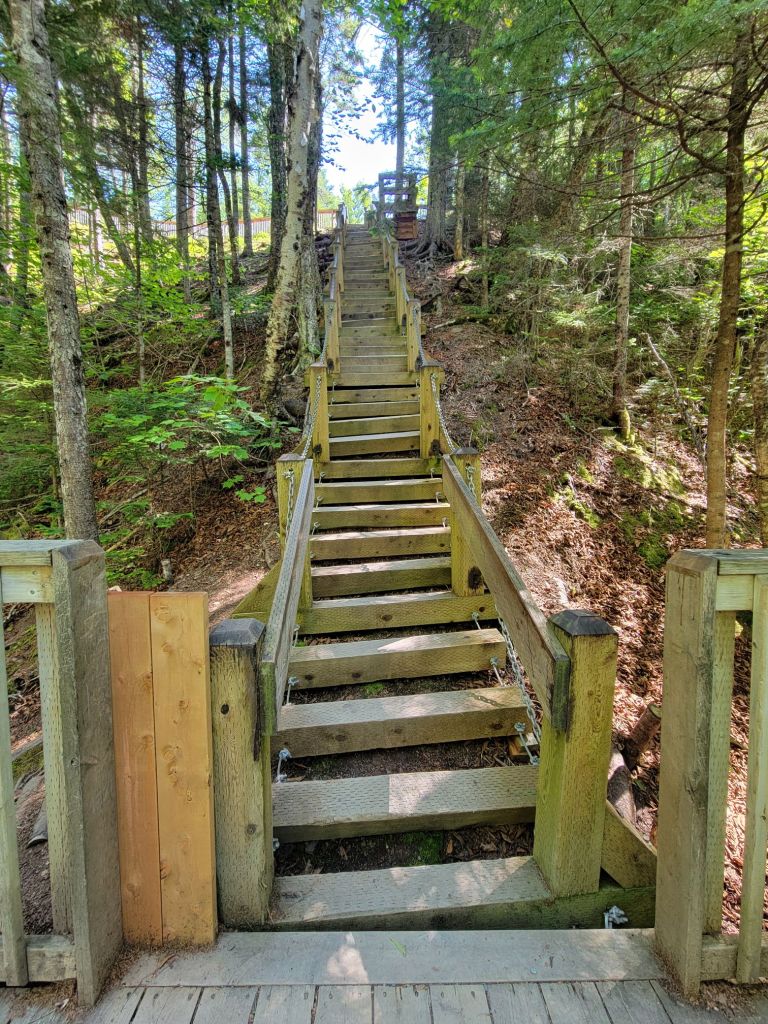
Today, we headed to Fundy National Park to do a couple of short hikes. Over the course of the day, we did 16 staircases. All of the hikes went down and then up again.
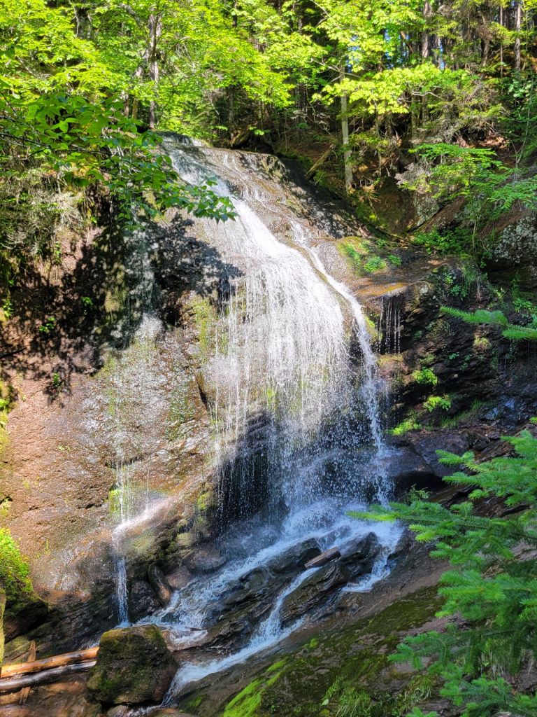
Dickson Falls
Our first hike was to Dixon Falls. We started by descending a wooden staircase into the heart of the forest.
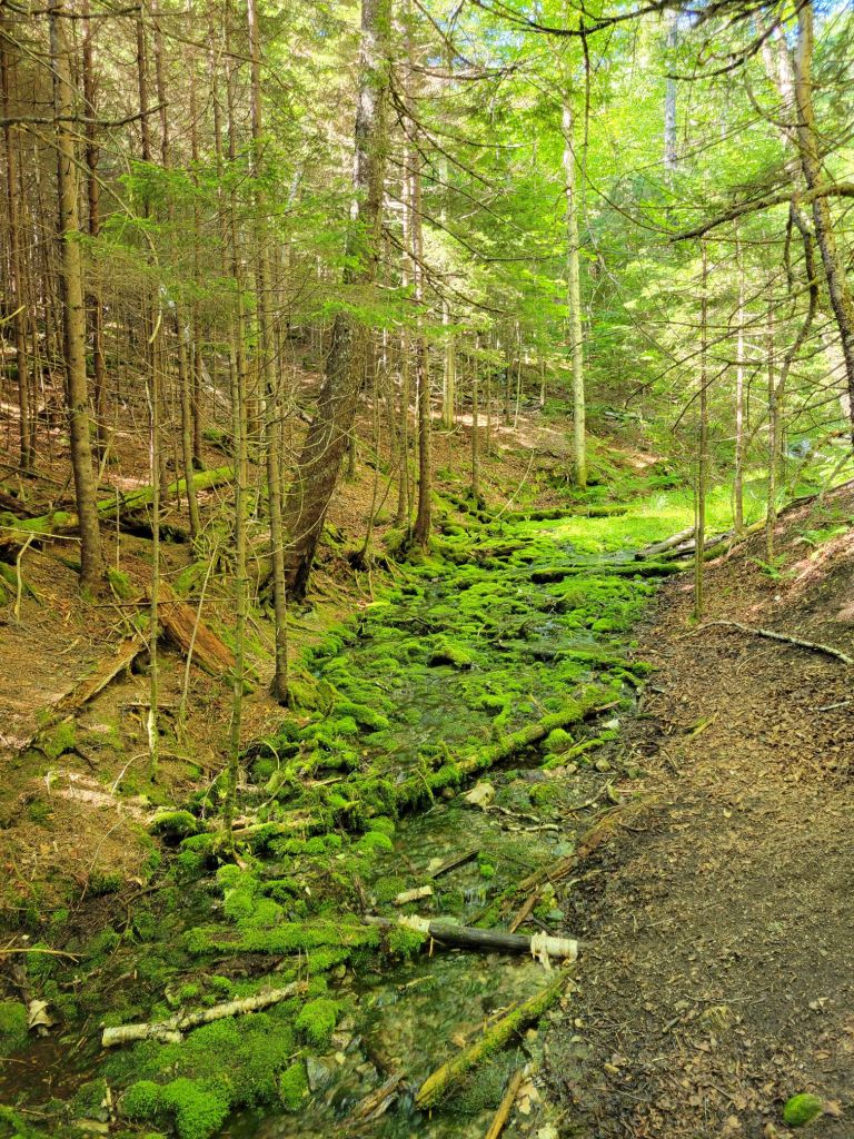
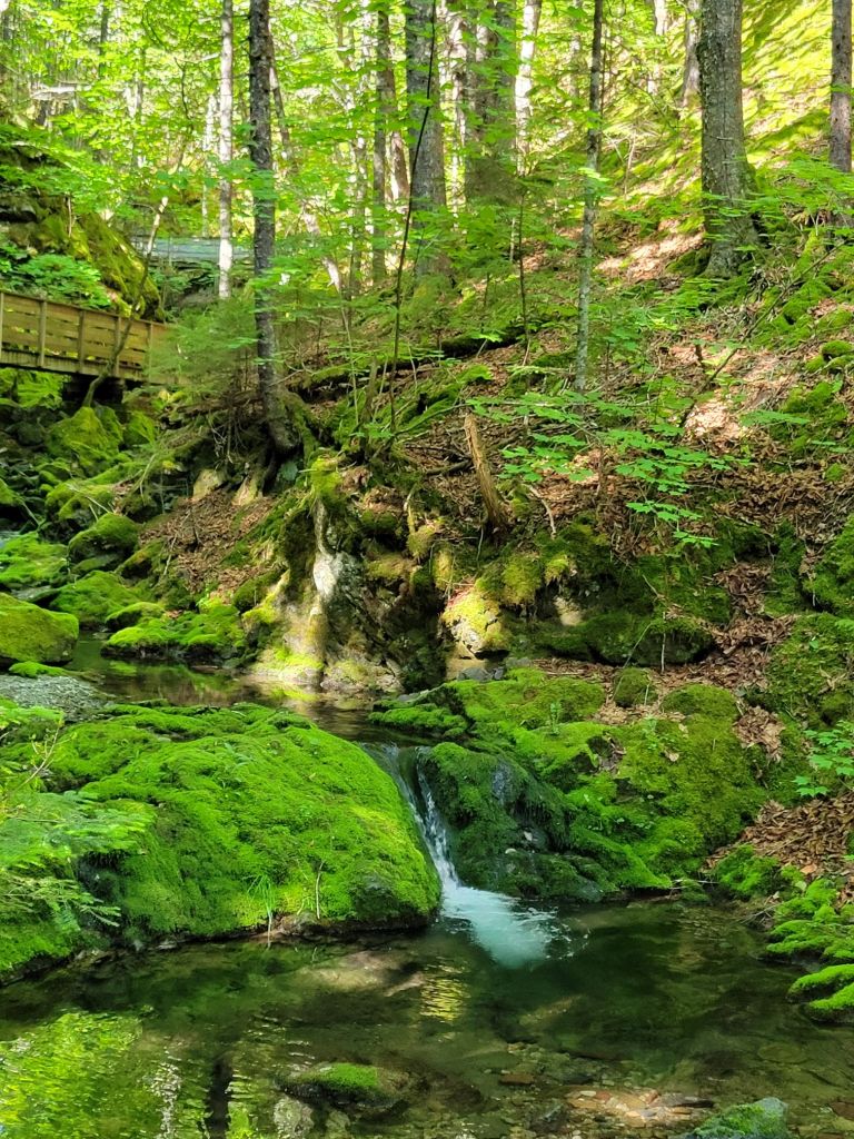
The moss turned the forest into something out of Lord of the Rings or The Hobbit.
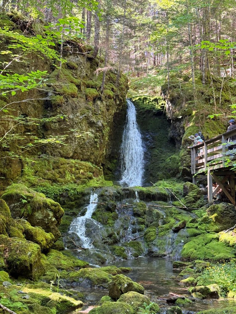
A wooden walkway followed a pretty stream with many small waterfalls until we reached the largest one.
Dickson Falls
Herring Cove
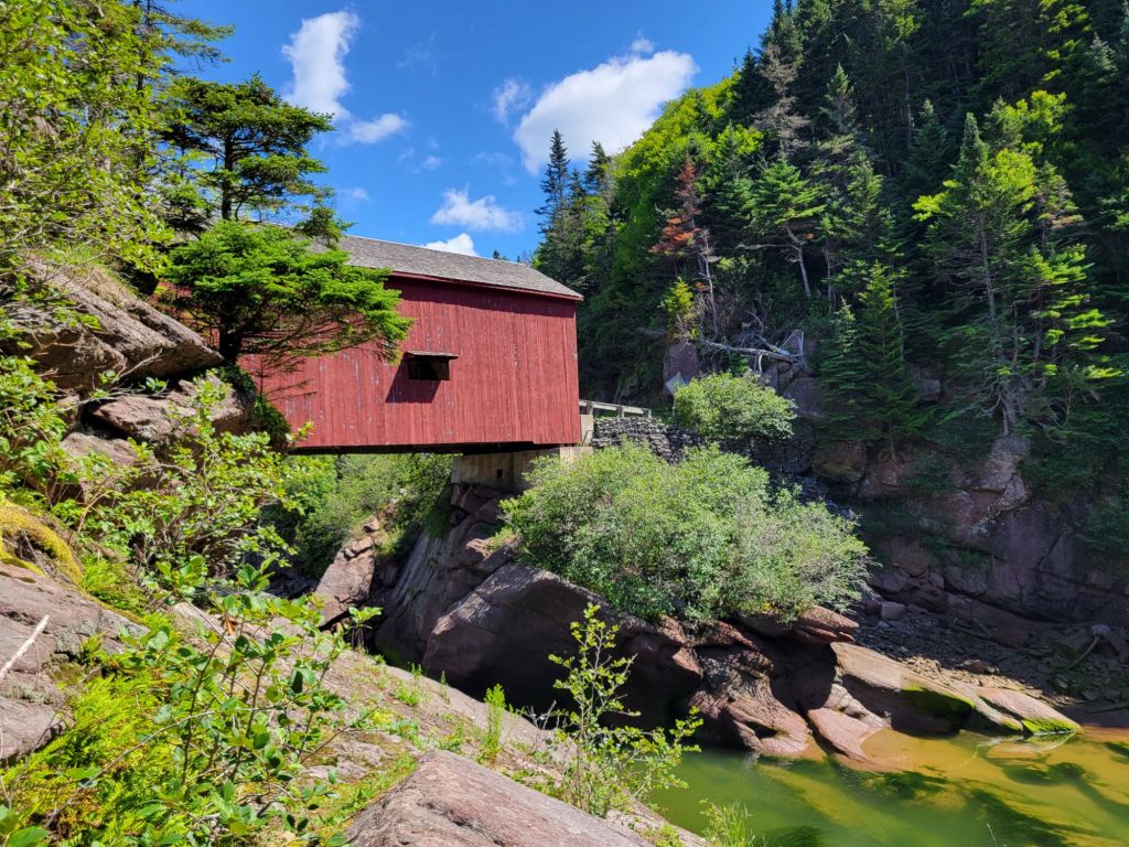
Next, we headed to Herring Cove. Along the way, we drove through this pretty covered bridge.
Herring Cove Returning from Herring Cove
Shiphaven Trail
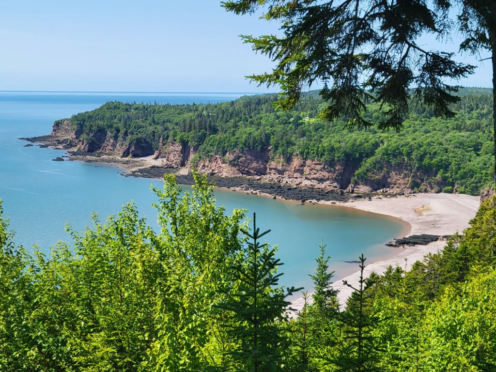
Then we were off to do the Shiphaven Trail. This trail was another wooden walkway along the cliff overlooking the Bay of Fundy.
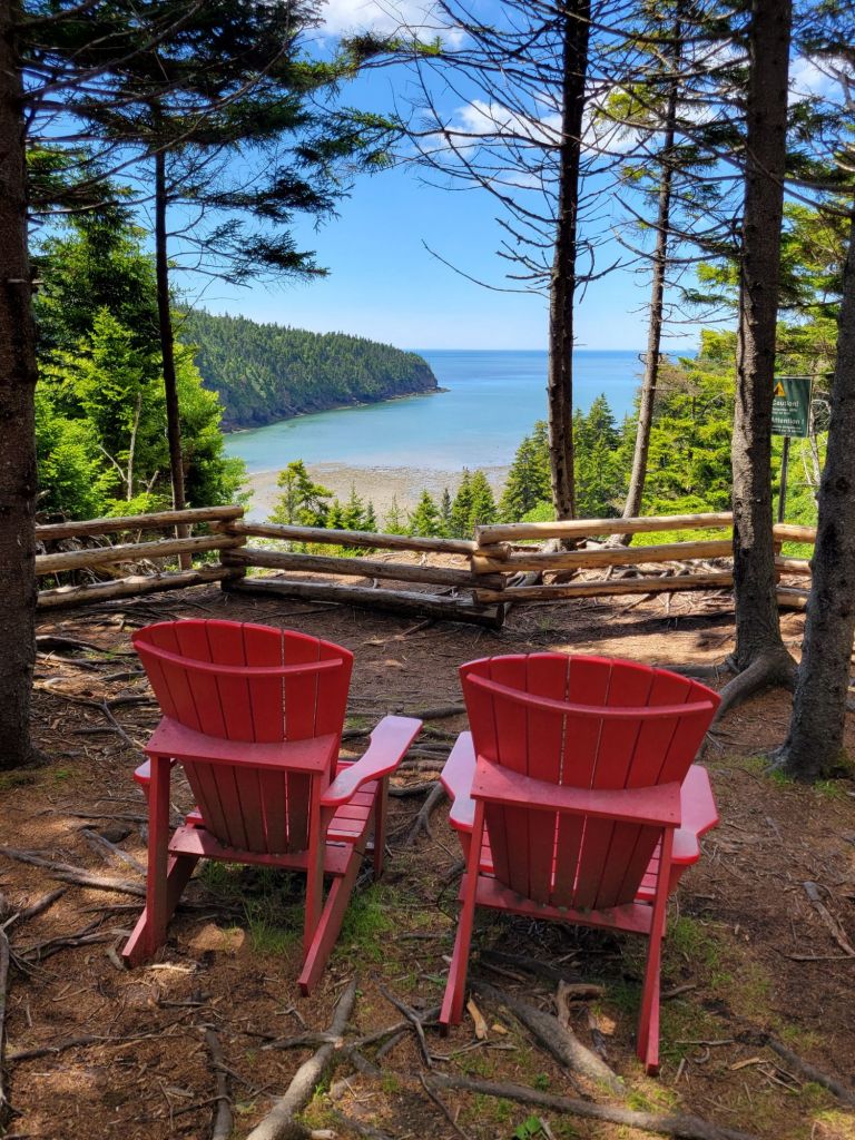
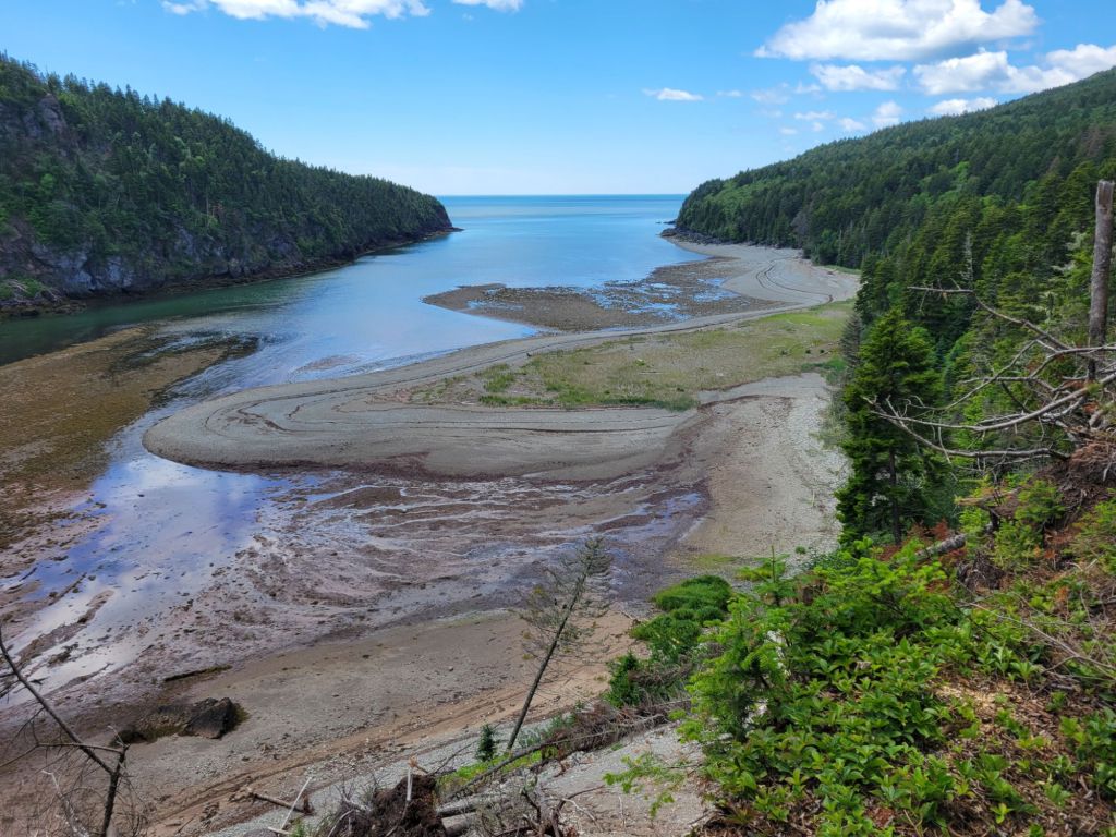
One of the overlooks from the Shiphaven Trail.A view of Wolf Point Beach from the Shiphaven Trail.
Wolf Point Beach
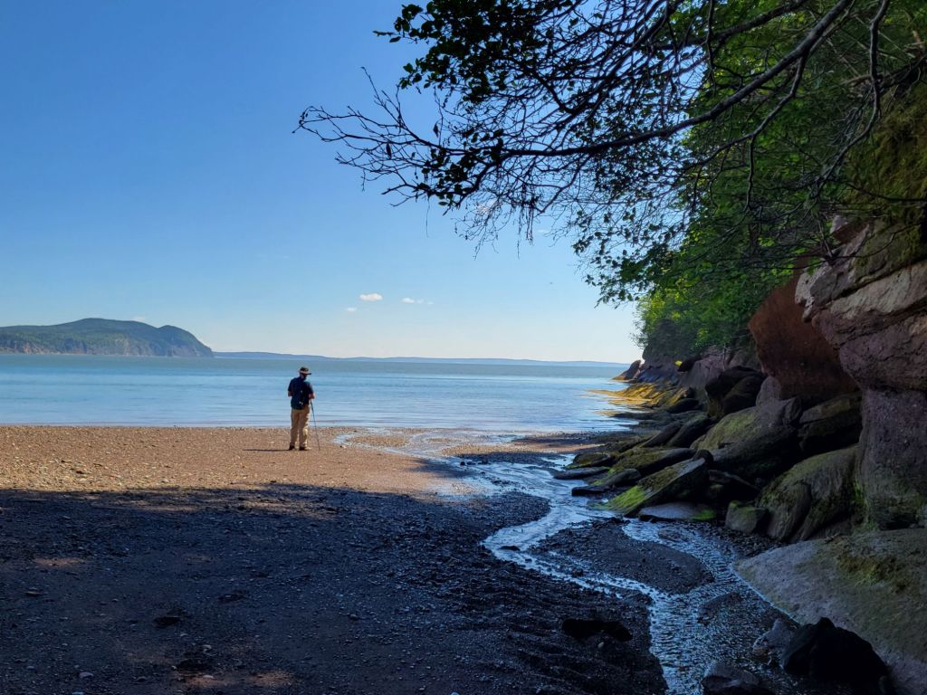
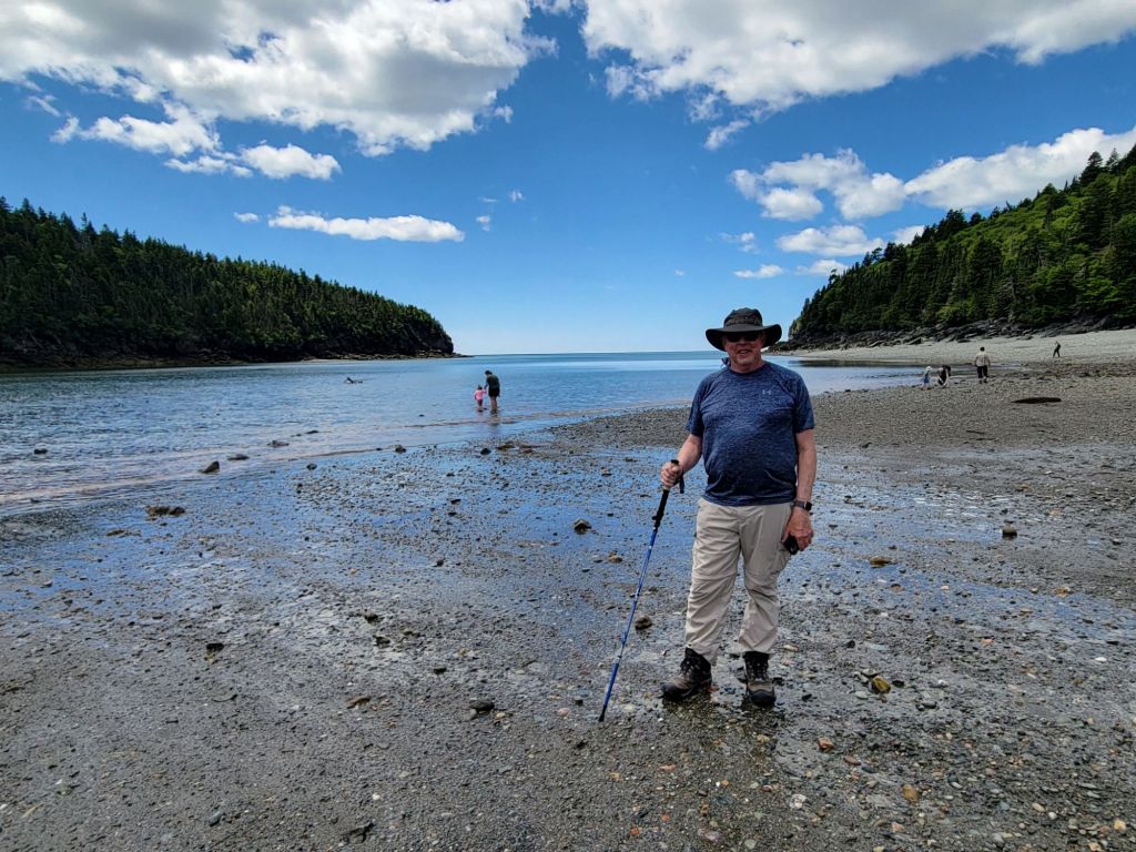
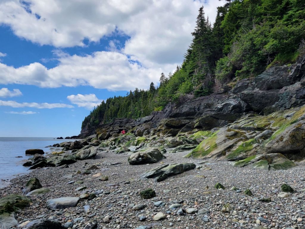
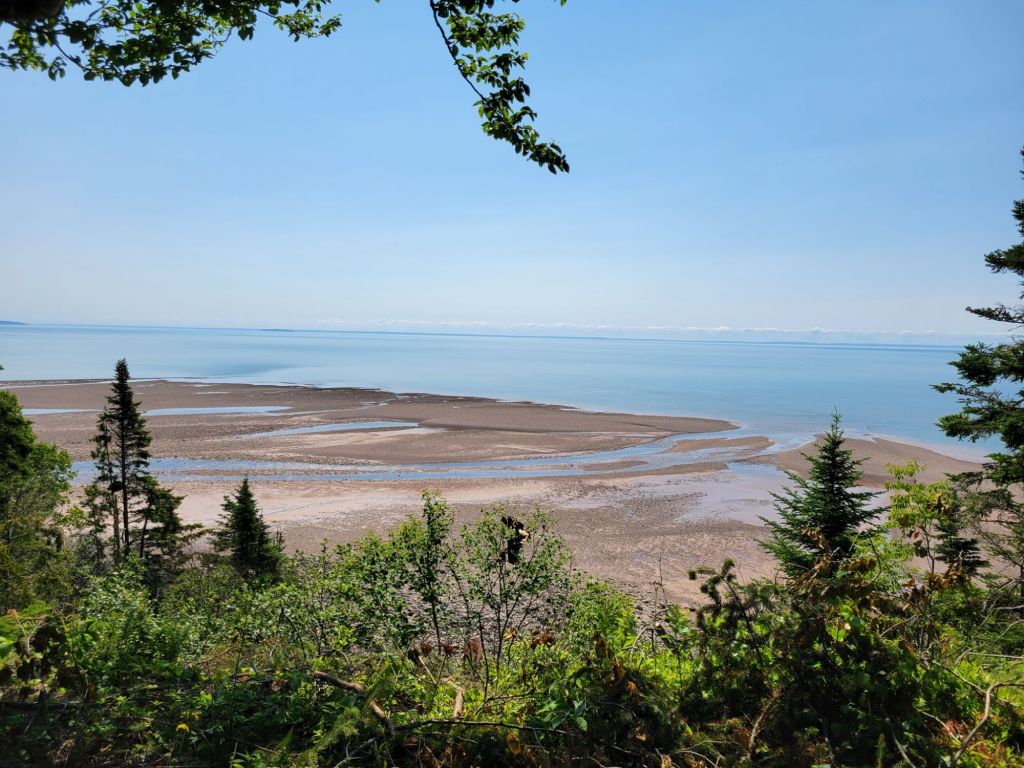
The Wolf Point Beach Trail took us down onto the beach itself.
By the time we were finished hiking down to Wolf Point Beach, we were beat. We headed back to the campground, where Greg made Greek turkey burgers for a late lunch, we took a nap, and we watched The Last Airbender on TV.
Today, Greg and I drove nearly 2 hours to take a whale watching cruise from Saint Andrews by the Sea, New Brunswick.
Saint Andrews was nothing like what I expected. Again, I was thinking we’d be visiting a quaint fishing village like the one in the television program, The RepublicofDoyle.
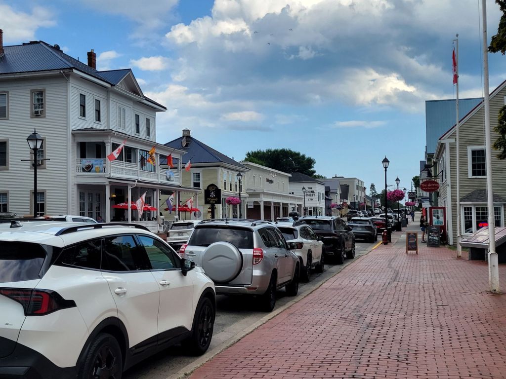
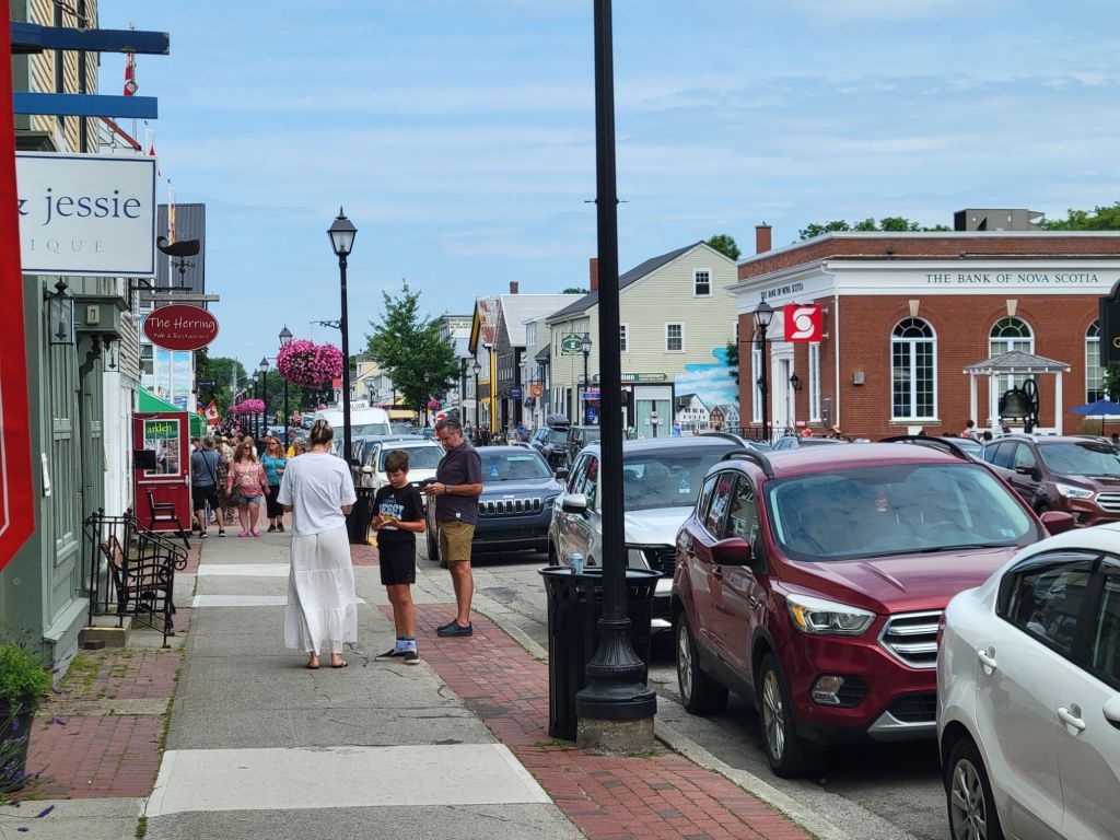
Instead, Saint Andrews was more like an upscale seaside resort town, complete with trendy shops, inns, and restaurants. Since I’m not a shopper, we didn’t spend a lot of time wandering the streets.
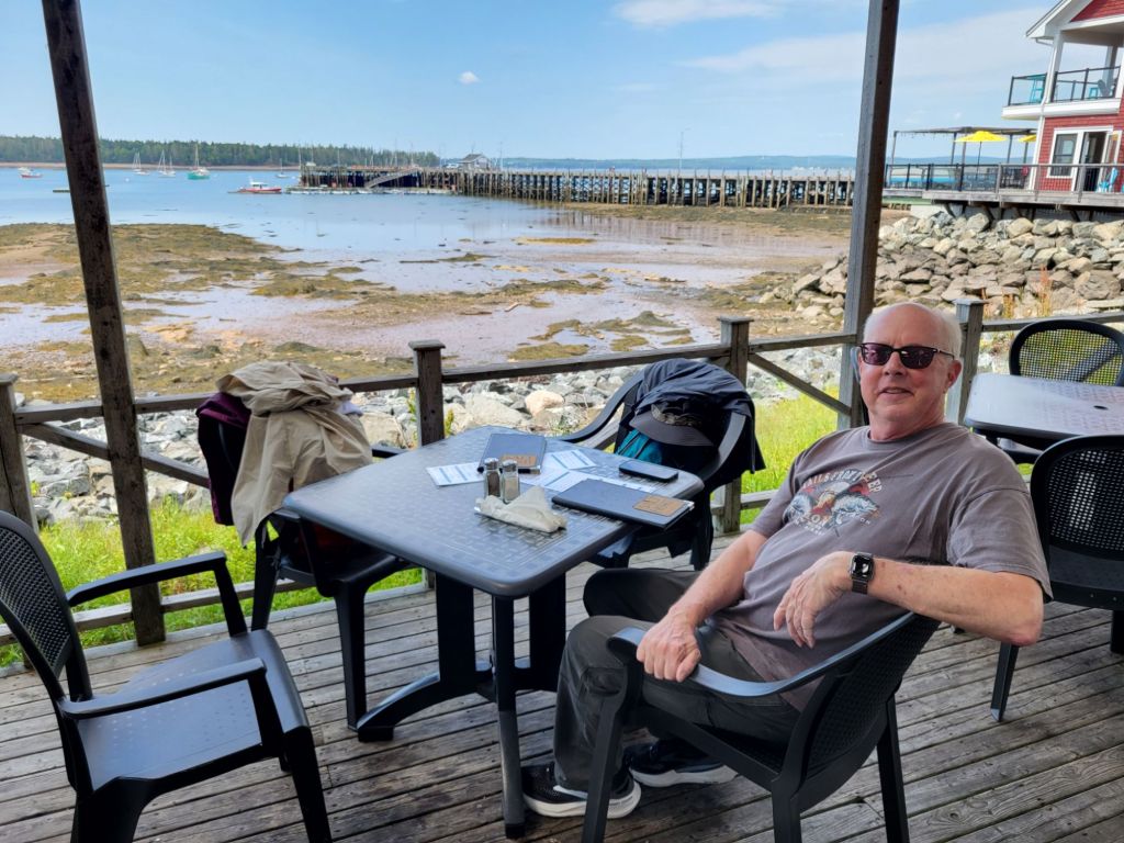
Our first stop was a restaurant called The Salty Bight to get some lunch before our cruise. Once again, seafood was on the menu. We both had the chowder.
As you can tell from the photo, it was low tide.
The waitress told us that the strip of land in the distance was Maine.
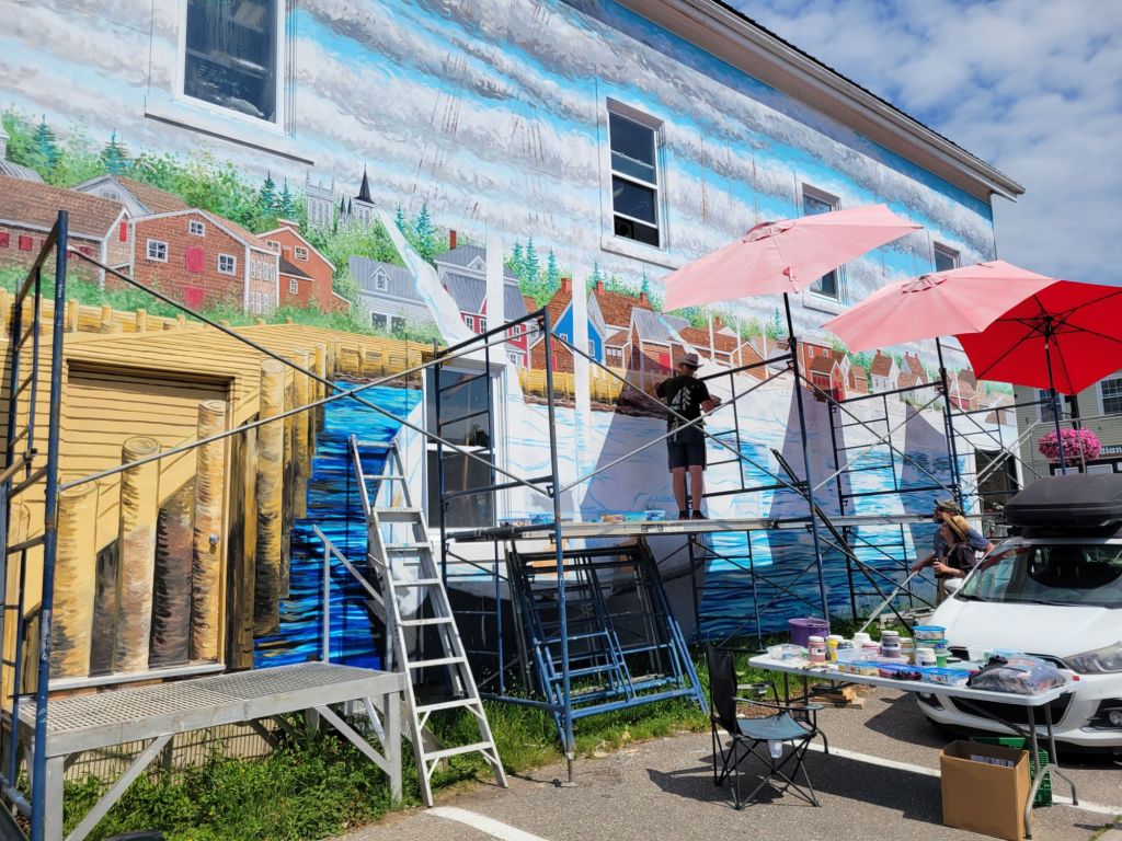
On our way to the wharf, we saw this artist painting a mural.
Whale watching cruise
Holy cow. The difference between the temperature in town vs. the temperature on the water was dramatic. Before we left, I asked one of the company employees whether I needed to take my jacket, since it was sweltering in town. She recommended that I take it.
Boy, was I glad I did! By the end of the cruise, I was wearing my winter hat, my long-sleeved hiking shirt, my sweatshirt, my down jacket, and my wind breaker.
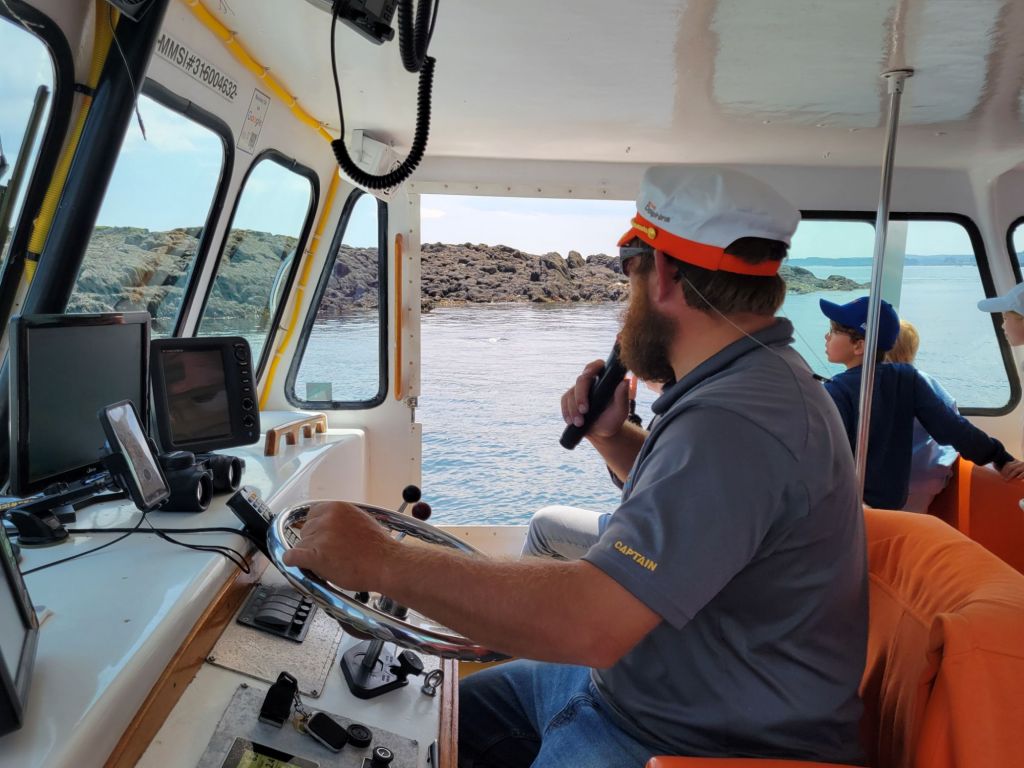
We had a prime seat inside next to the open windows. Those little boys in the background were a godsend. They had eagle eyes and were able to spot wildlife before our captain and the two marine biologists did. There were five kids in that family. They were from the Netherlands.
We saw lots of wildlife on our cruise, although we almost missed our opportunity to see a whale.
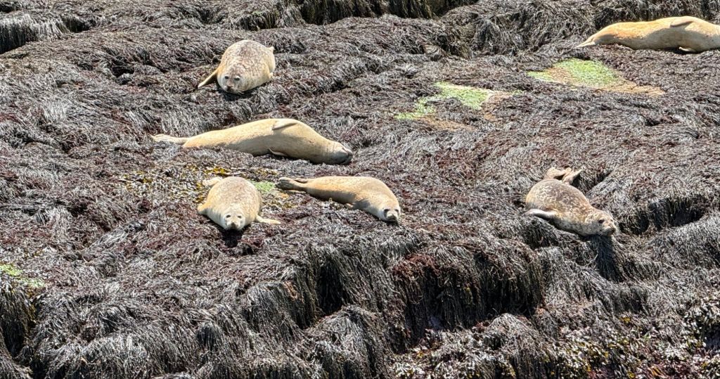
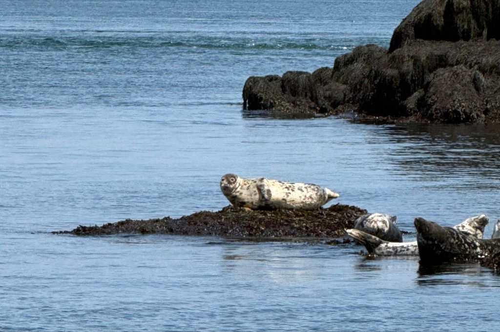
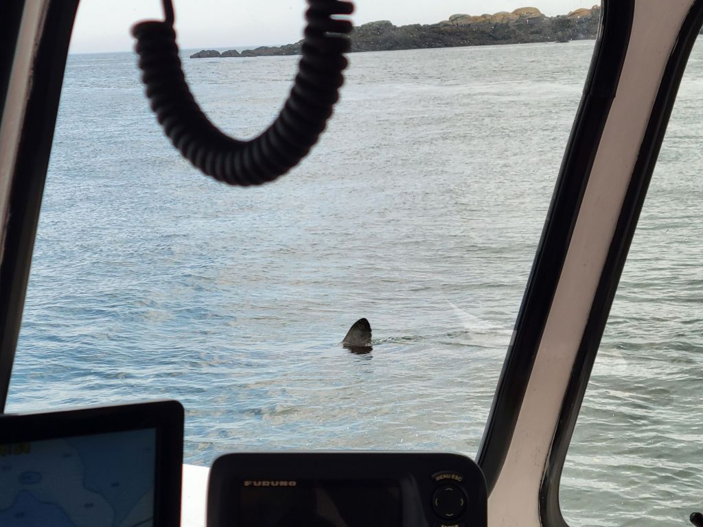
Harbor seals. We also saw some gray seals.A porbeagle shark. He disappeared before the captain was able to turn the boat around so those of us on the other side could get a good picture of him.
We also saw a good number of porpoises, but they were too quick to photograph. It was only thanks to the little boys from the Netherlands that I got to see them at all.
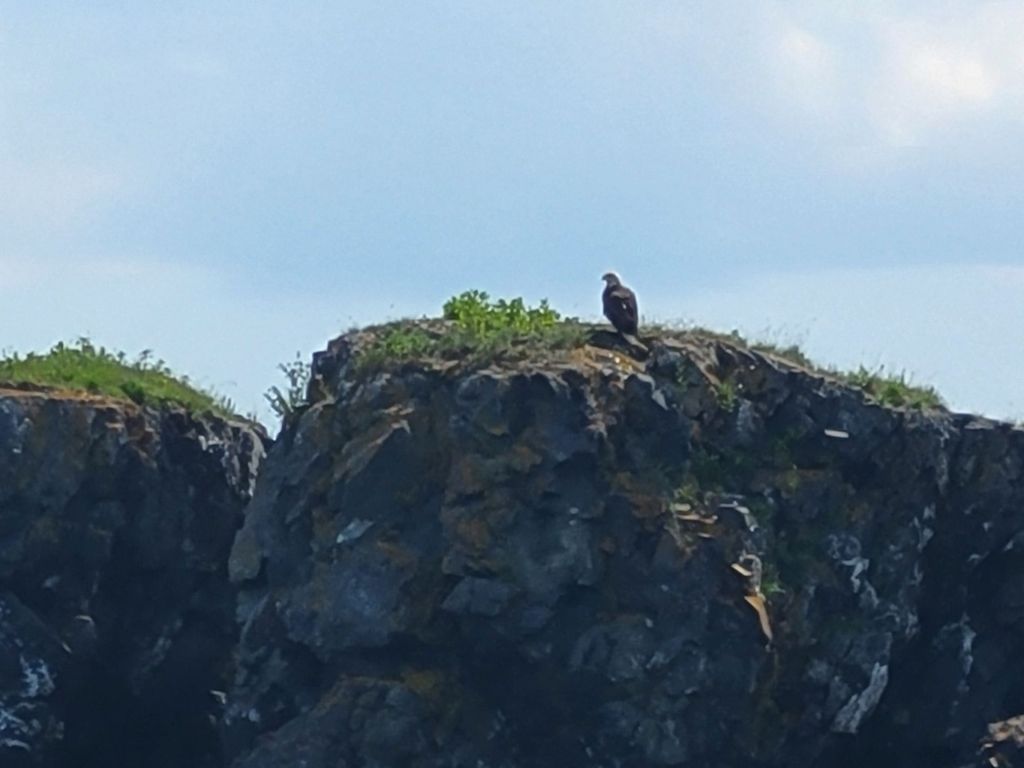
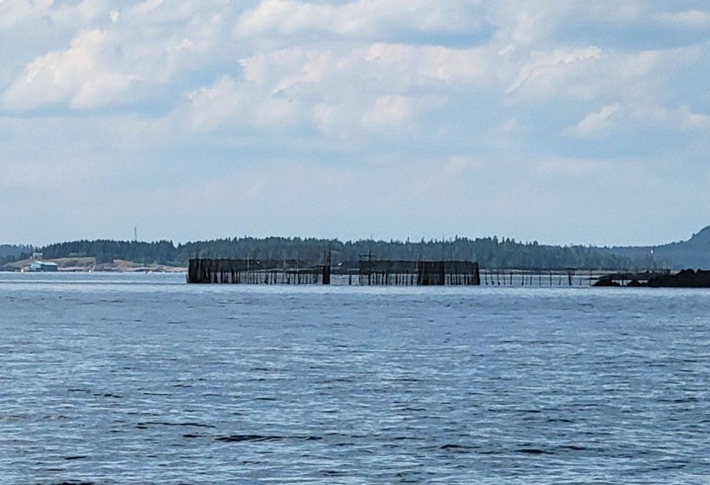
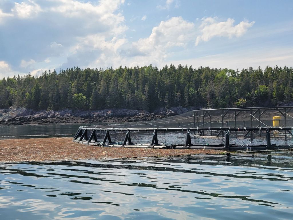
A bald eagle A herring weir for catching herring. A salmon farm. Every few seconds a salmon would leap out of the water.
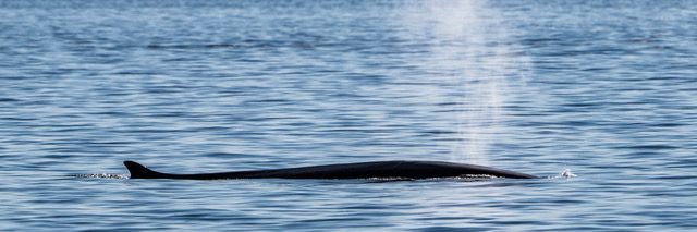
After three hours, our time on the water had expired, and we had yet to see a whale. Then a report came in from a captain on another boat that a finback whale had been spotted. We headed that way.
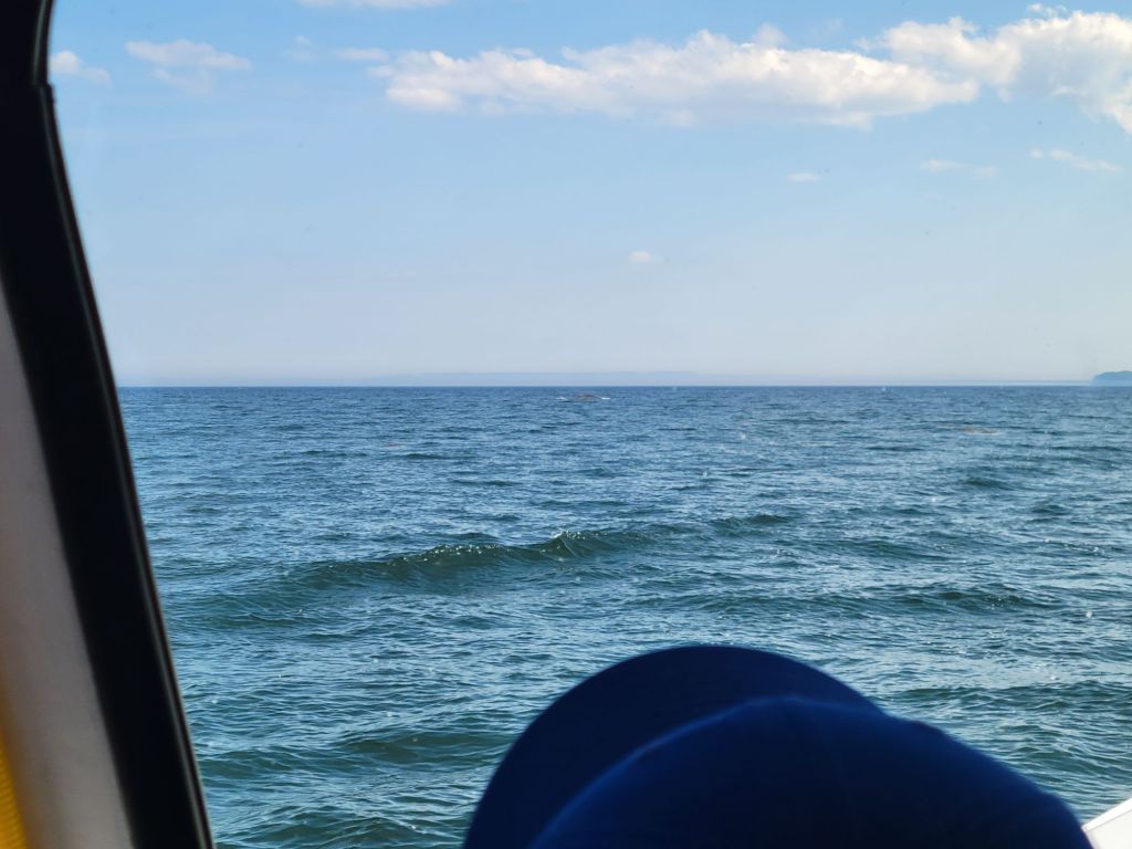
The whale was almost impossible to photograph. He only broke the surface of the water every few minutes for about a second and a half, and we never knew exactly where he would surface. Maybe if I had had Neal’s camera, I would have been able to get a decent photo of him. But if you look very carefully, in the center of this photo near the horizon line, is the back of the whale.This is what the whale looked like when he surfaced. (I didn’t take this photo. Greg found it on the internet.) Finback whales are the second-longest whales after the blue whale.
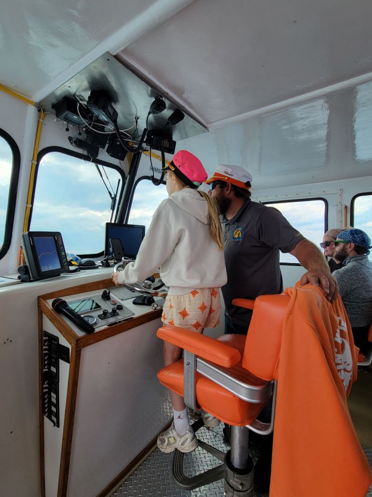
On the way back to the wharf, the captain let the children on board have a turn at the wheel.
This little girl was the oldest of the five children from the Netherlands.
We arrived at the dock and hour and a half late, but at least we got to see our whale!
The tides in the Bay of Fundy are fascinating. Because of the tidal bore, some areas of the water were as smooth as glass while others rippled with white caps. Our captain even pointed out a number of whirlpools. At one point, he let go of the wheel, and the boat went around in circles.
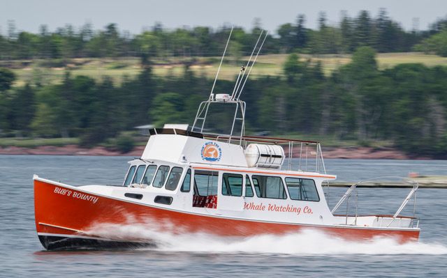
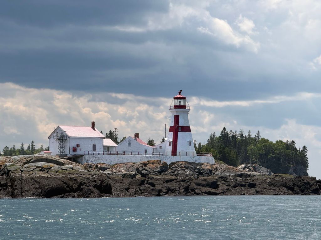
The boat we sailed on.This photo gives some idea of how smooth the water was in some areas and how high the tide rises.East Quoddy Head Lighthouse on Campobello Island
Today, we headed back to Saint John to take a walking tour of Uptown.
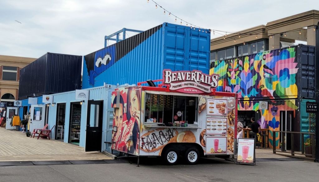
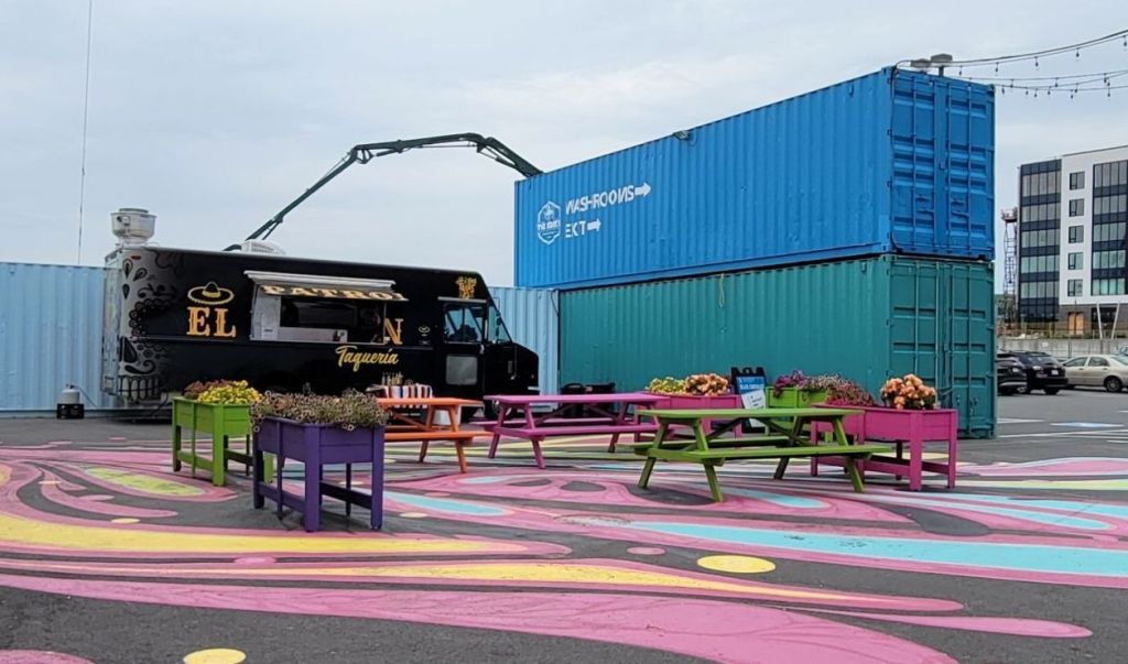
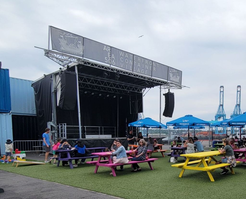
We met our tour guide, Pete, at Area 506 Waterfront Container Village, which is an interesting collection of shipping containers on the waterfront turned into little shops, food vendors, and musical venues.
We learned that Saint John was established by a group of loyalists from Massachusetts afraid of retribution after the Revolutionary War, followed by Scottish immigrants and then the Irish.
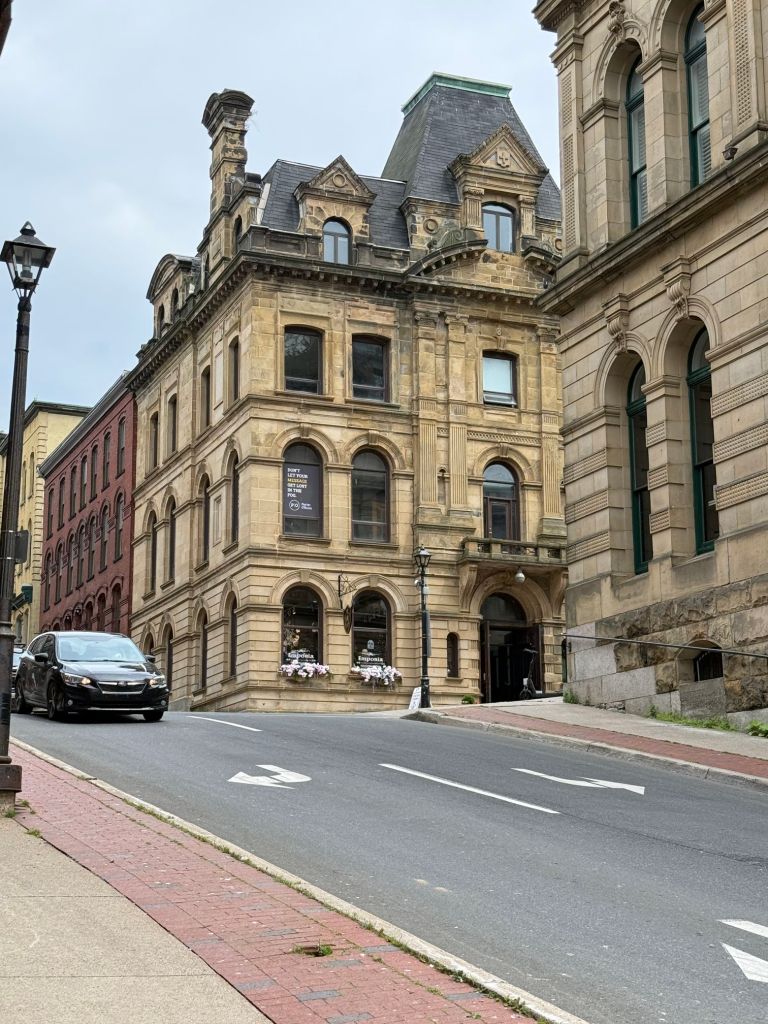
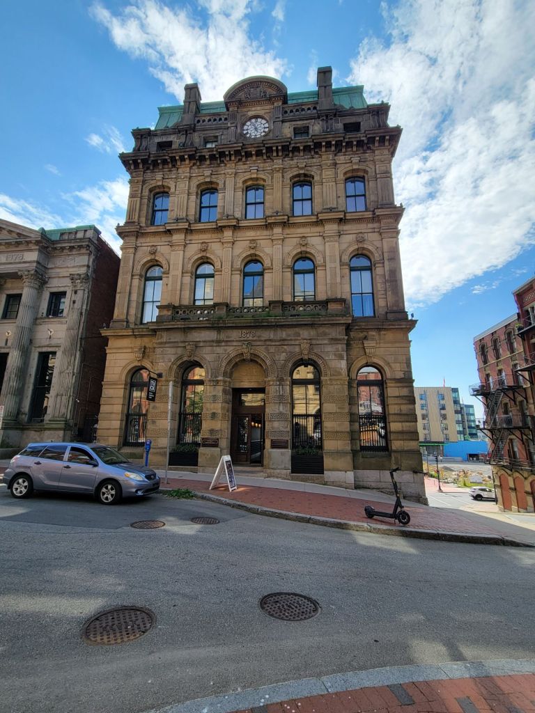
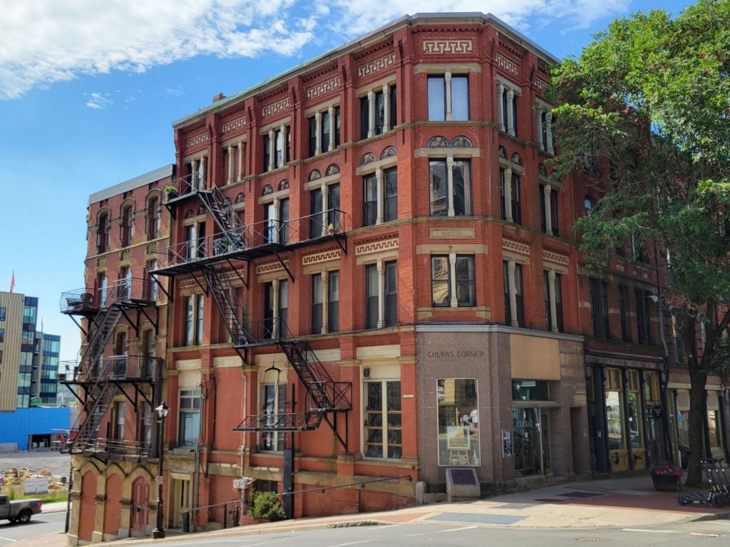
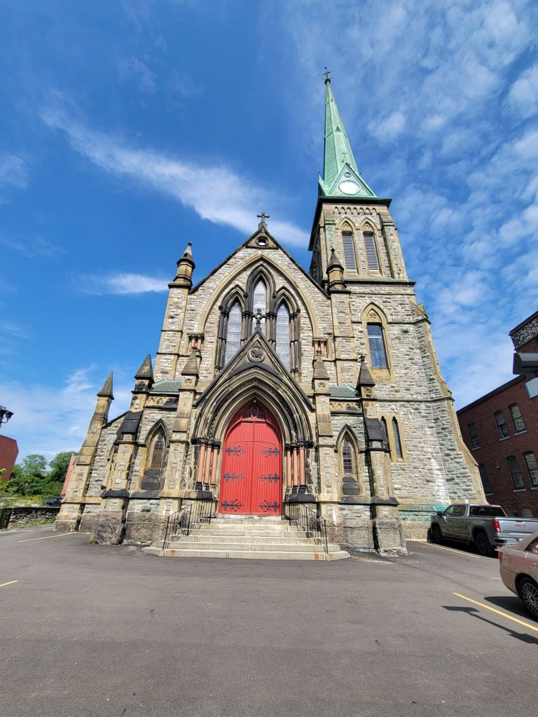
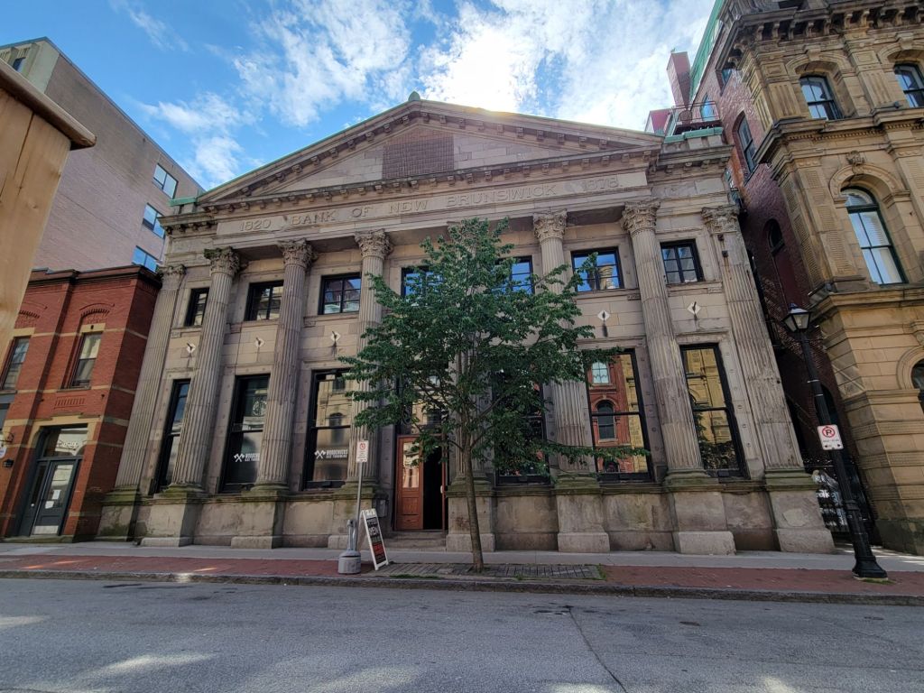
We saw lots of beautiful old buildings built after a massive fire in 1877.
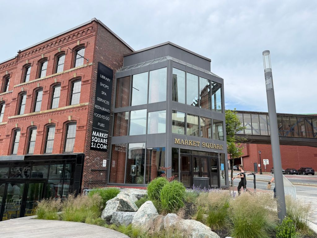
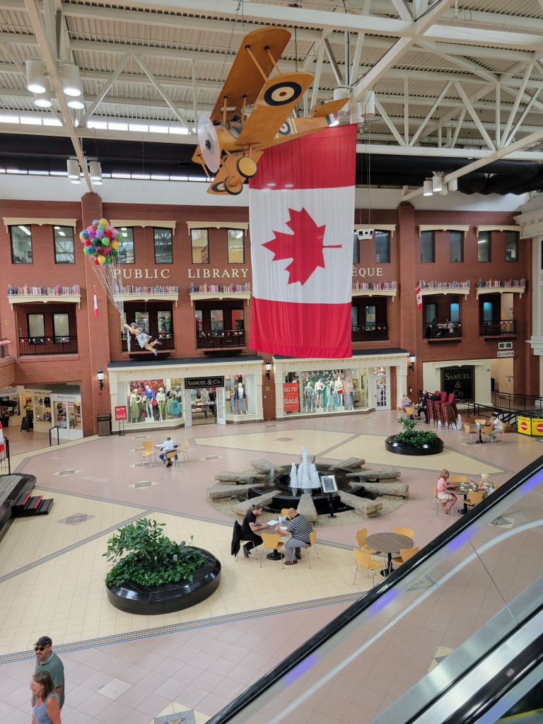
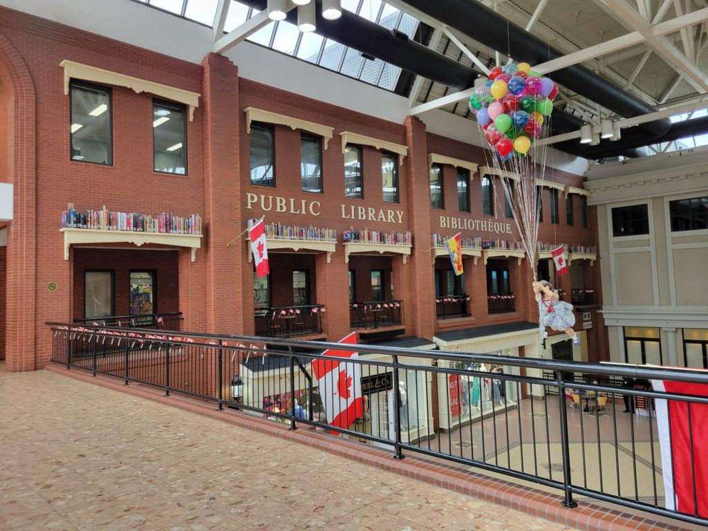
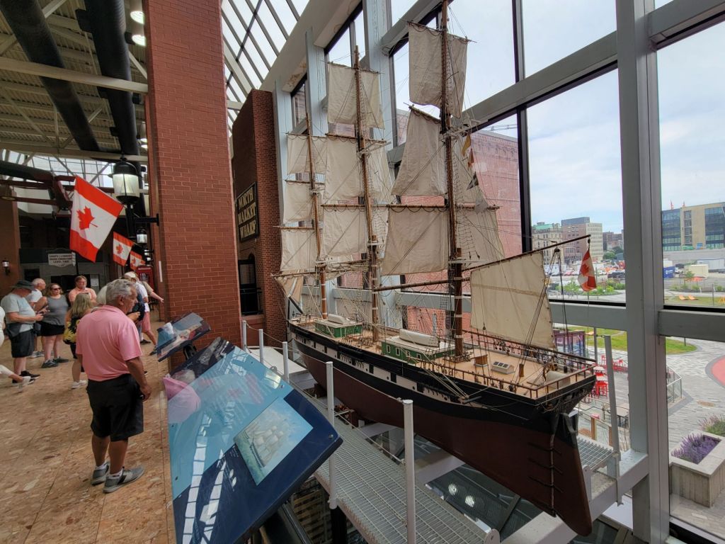
We walked through a large mall along the waterfront called Market Square. The public library is located there. I loved the books lining the tops of the window frames.
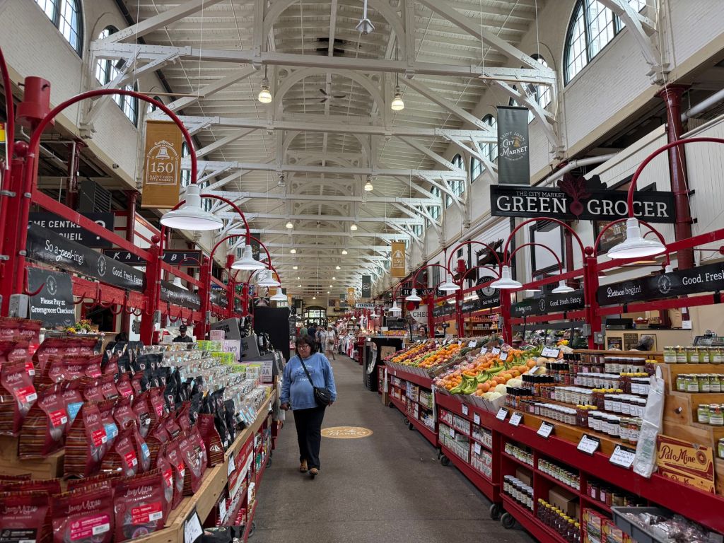
Market Square led right into City Market. We didn’t even have to go outside.
I wish we had had time to do a little shopping in City Market, which sells everything from fresh food to touristy items. It reminded me a bit of a much smaller Reading Terminal Market.
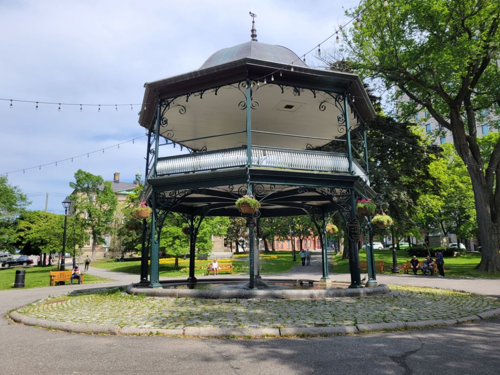
Then we walked up to King’s Square and learned about the band stand, which is two-tiered. Imagine trying to carry a piano up to the second floor!
You can’t see it in this photo, but the band stand is built over a large fountain.
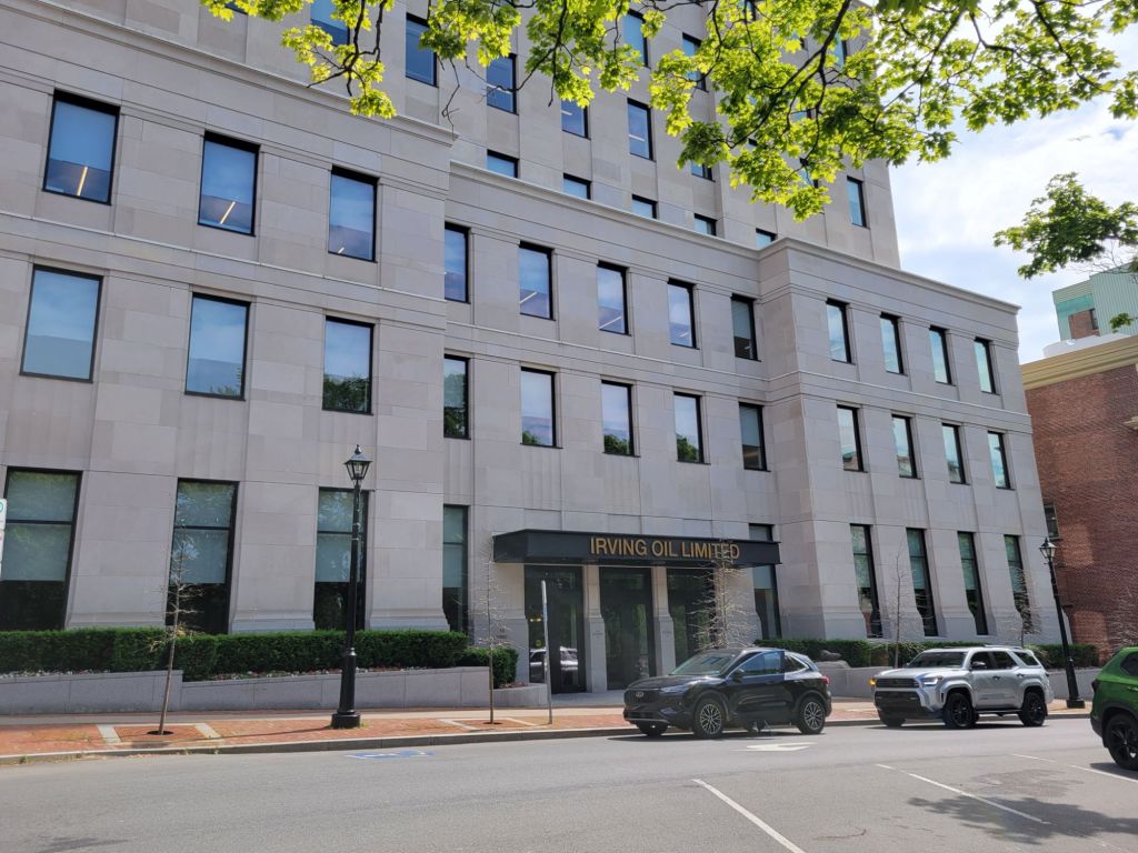
Finally, our tour guide told us about the Irving family, which built their wealth through oil and lumber. Pete was very complimentary about the Irving family because they donate millions of dollars to hospitals and schools in Canada and the US. Apparently, one in three gas stations in Massachusetts sells Irving gas.
Their headquarters is on King’s Square.
Greg and I learned some interesting things about Saint John and New Brunswick during this tour.
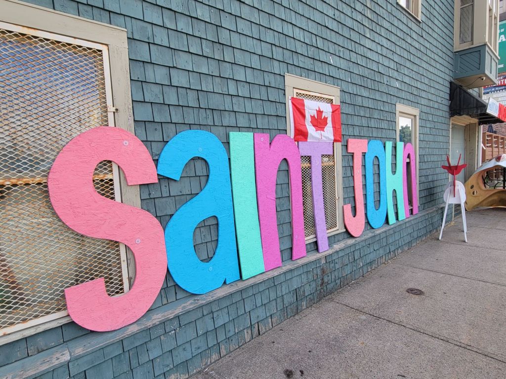
The proper way to spell Saint John is to write out the word “saint.” The St. John in Newfoundland is abbreviated.
The largest number of immigrants came from Ireland.
New Brunswick was originally going to be called New Ireland, but the king in England vetoed that because he wanted to name it after himself, and he was the Duke of Brunswick.
New Brunswick is the only official dual language province.
Cask and Barrel
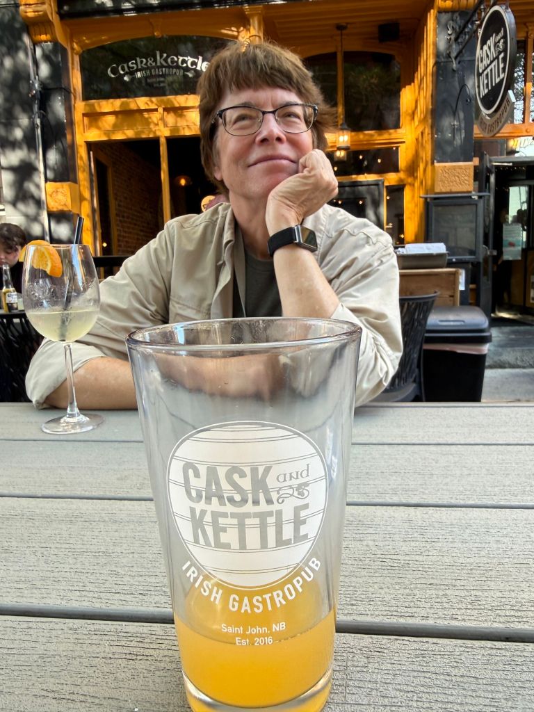
After our walking tour, Greg and I stopped for an alcoholic beverage and appetizer at The Cask and Barrel, one of the small Irish gastro pubs in uptown.
Greg had a local beer, while I had white sangria. We shared a buffalo chicken dip.
Quaco Head Lighthouse
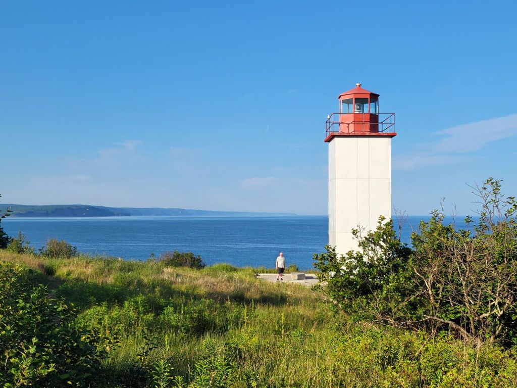
On our way back to the campground, we decided to try once again to find the lighthouse. It was not any easier to locate it this time as it was yesterday. None of the lighthouse signs along the road were accurate. Nevertheless, we eventually succeeded.
I can’t say it was the most beautiful lighthouse I’ve ever seen, but it was still fun to find it.
We have been amazed by the lack of traffic on the highways. Even the city streets are relatively free of cars. It has been delightful, especially after the craziness of Acadia.
Today, we drove into Saint John to take a look around and find out where we needed to go tomorrow for our historic walking tour. We quickly realized that this is not the Saint John from the television program The Republic of Doyle. That St. John must be the one in Newfoundland.
This Saint John is a busy port city located on the Bay of Fundy.
According to Wikipedia, it is Canada’s oldest incorporated city, established on May 18, 1785. It has a population of about 80,000. The port is Canada’s third-largest by tonnage, and the city has a strong industrial base. This is no quaint fishing village, despite the constant cries of seagulls.
I didn’t take any photos while we were walking around. Although there were lots of beautiful old buildings, I didn’t see anything that would make a pretty picture.
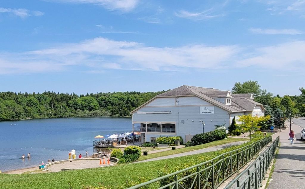
After our brief walk around Saint John, we headed to Rockwood Park, a large park located within the city. Our destination was Lily’s Restaurant, where we enjoyed a seafood lunch.
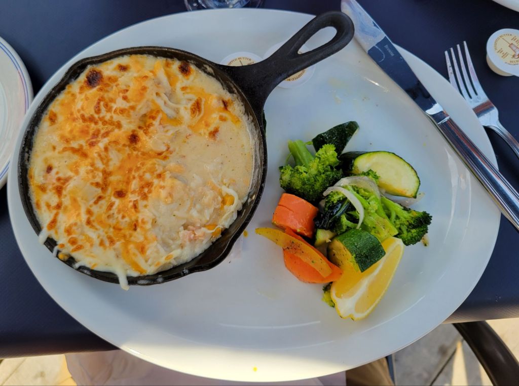
We ate on the terrace overlooking the lake. It was lovely. I had the seafood casserole. Greg had sautéed scallops. I finished the meal with coconut custard pie (which wasn’t as good as the one I make 😆).
At the table next to us, there were two ladies speaking in French. I was startled when they gave their order to the waitress in perfectly unaccented English. I expect French-speaking people to have French accents. LOL
Interestingly, our waiter told us that there were a lot of people visiting from the states back in the early spring. They were all looking to buy property in Canada. Gee, I wonder why?
Our original plan had been to take a hike along one of the trails within the park after lunch, but we were so full and sleepy that we headed back to the camper for a nap and a quiet evening.
It’s too bad, because according to the park’s website, Rockwood Park offers 2,200 acres of unspoiled natural beauty, with ten lakes and 55 trails and footpaths for walking or biking. Its billion years of history can be seen in unique rock formations, caves, and waterfalls. I’m sorry we missed it.
Along the way home, we decided to make a stop at the local lighthouse. The signs led us off the main road and down a gravel road that was under construction for about 10 miles before dumping us back onto the main road again. The lighthouse signs continued, so we know that we didn’t miss it by mistake. Why we had to drive 10 miles along a dirt road for no reason we will never know.
Anyway, at that point, I looked up the lighthouse on Google Maps and discovered that it was in the opposite direction from our campground. Ugh.
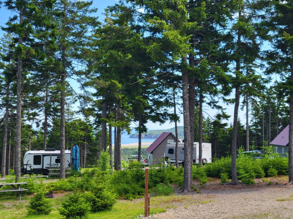
Our drive from Maine to New Brunswick, Canada, went smoothly. Once again, Greg chose a great campground for our visit here.
A view of the Bay of Fundy from our campsite.
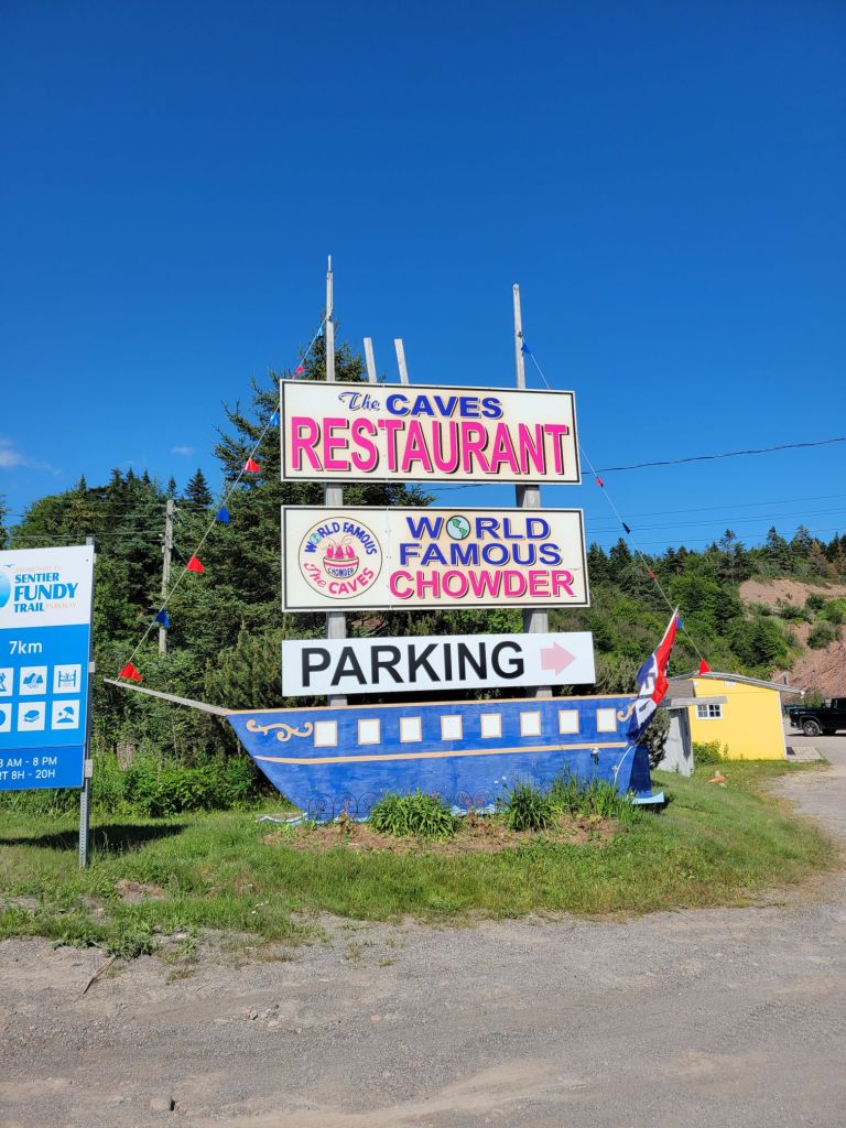
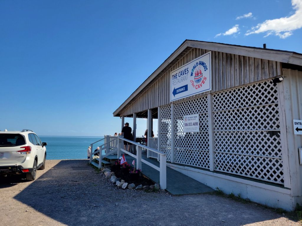
After setting up, we headed out for a seafood dinner at The Caves Restaurant.
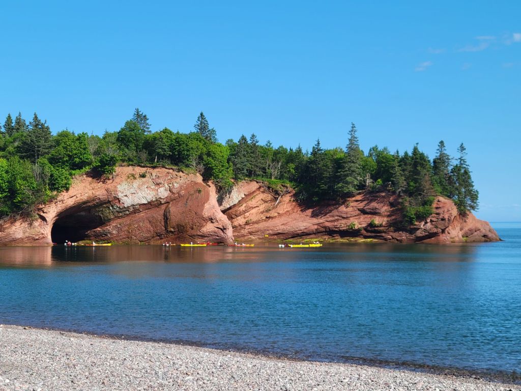
The Caves Restaurant is right on the beach just outside of St. Martins. Off to the left is a series of caves. During high tide, you can kayak into them. During low tide, you can explore them on foot.We arrived at high tide and got to see a group of kayakers heading into the caves.
Greg had the seafood casserole, which was good. I had the breaded and fried scallops, which I did not particularly enjoy. Too much breading, small tough scallops.
Fundy Trail Parkway
The next morning, we headed off for a drive along the Bay of Fundy.
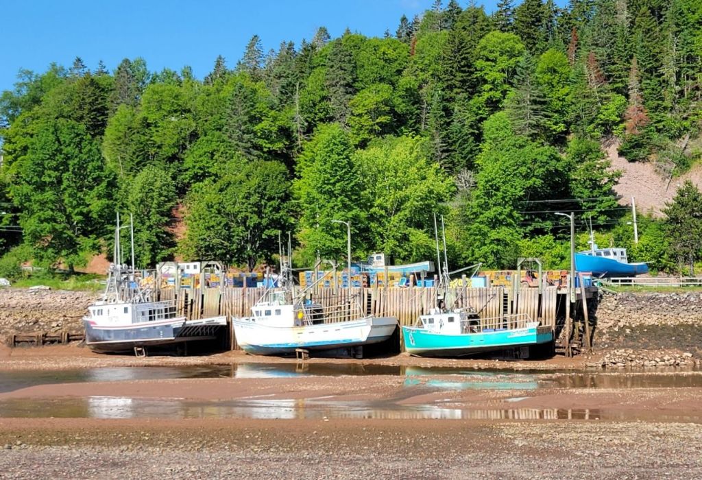
It was low tide, and we got a kick out of seeing these boats stranded in the harbor.
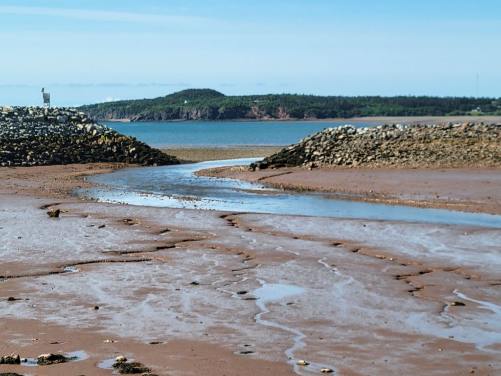
The entrance to the harbor at low tide.
According to Wikipedia, the Bay of Fundy has the highest tides in the world, with tidal ranges averaging about 52 feet.
One of our first stops along the Fundy Parkway was Fuller Falls.
I was more entertained by the cable staircase, though. Although I don’t know exactly how they are made, it looks like the entire thing is constructed ahead of time a la fire escape ladder and then laid down in one go. Pretty cool.
A few views from the lookout stops along the Fundy Parkway:
Yep. It’s low tide.
The Salmon River at low tide:
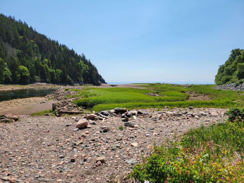
Looking at the mouth of Salmon River with the Bay of Fundy in the distance.
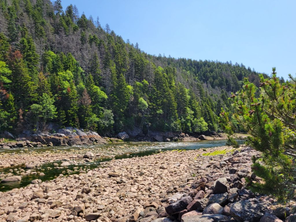
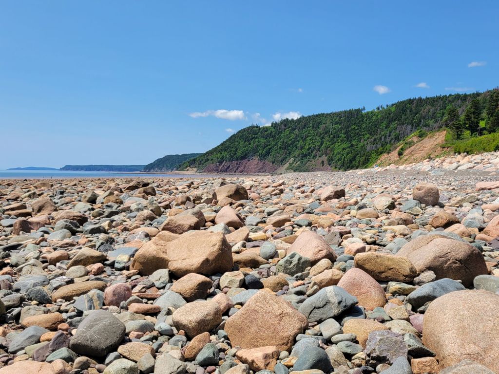
Our next stop was Long Beach, where low tide had created a deep, rock-strewn beach.
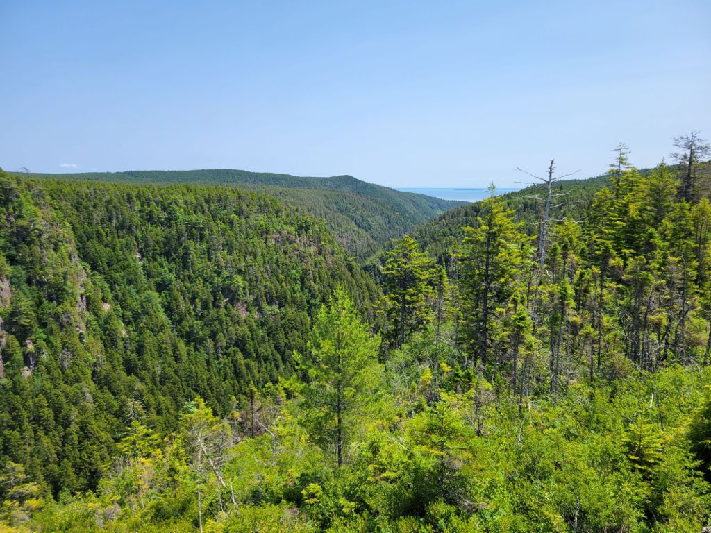
Then we headed to Walton Glen Gorge, which necessitated a fairly long hike (for two people who had gotten very little exercise in the preceding six months, anyway). I don’t know whether Greg and I are simply bad at converting kilometers to miles, but we both swear this hike was a lot longer than the signs claimed.
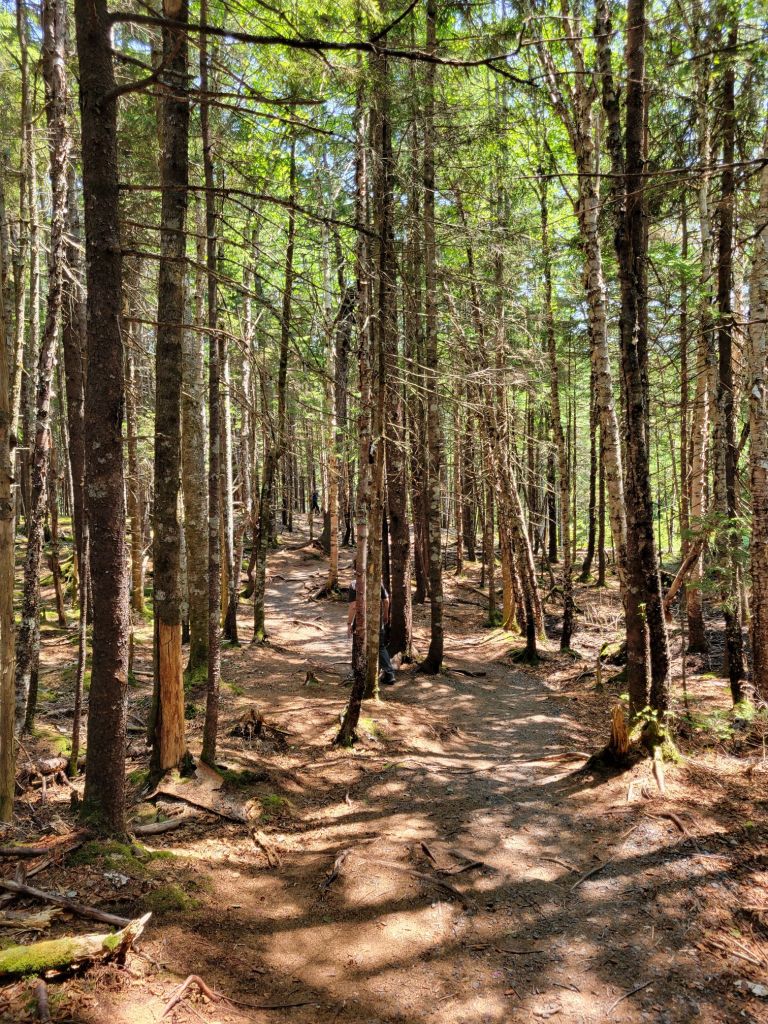
The first part of the hike involved walking through a pretty forest.
And when we finally arrived at the gorge, we were rather underwhelmed.
The gorge
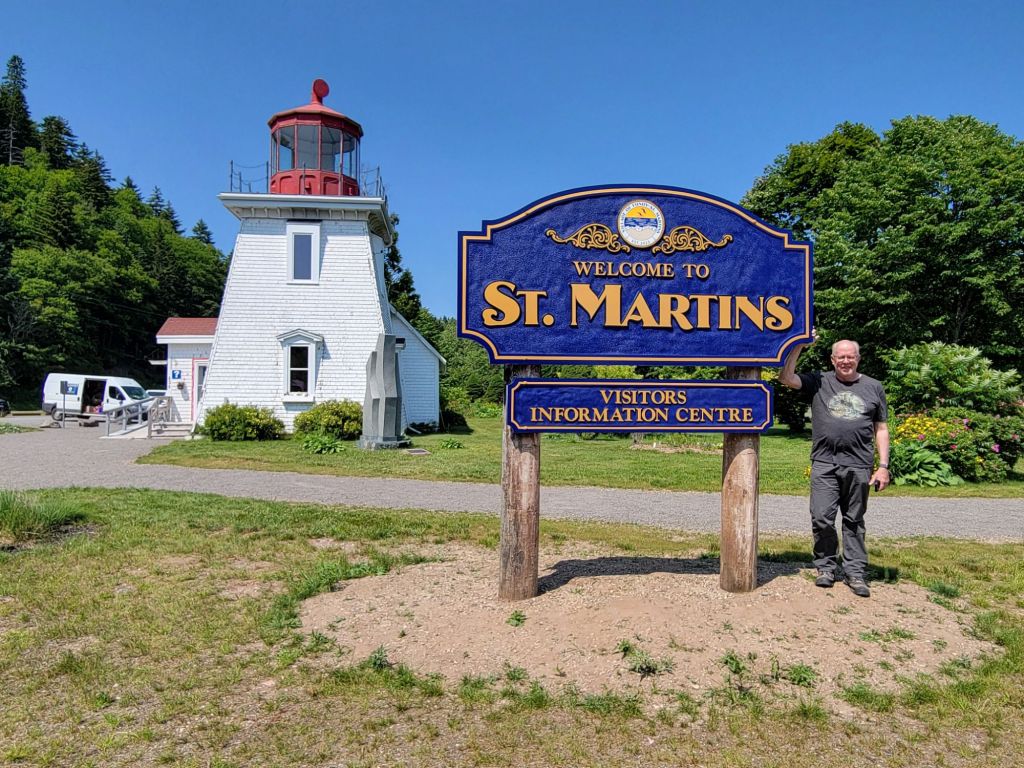
After the gorge, we returned to St. Martins, where we stopped in at the visitor’s center to inquire about the closest grocery store.
We wandered around for a bit before grabbing our groceries and heading back to the campground.
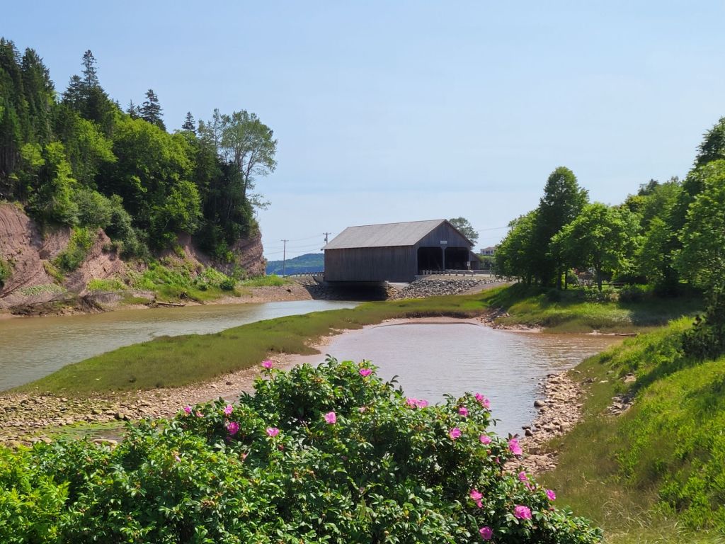
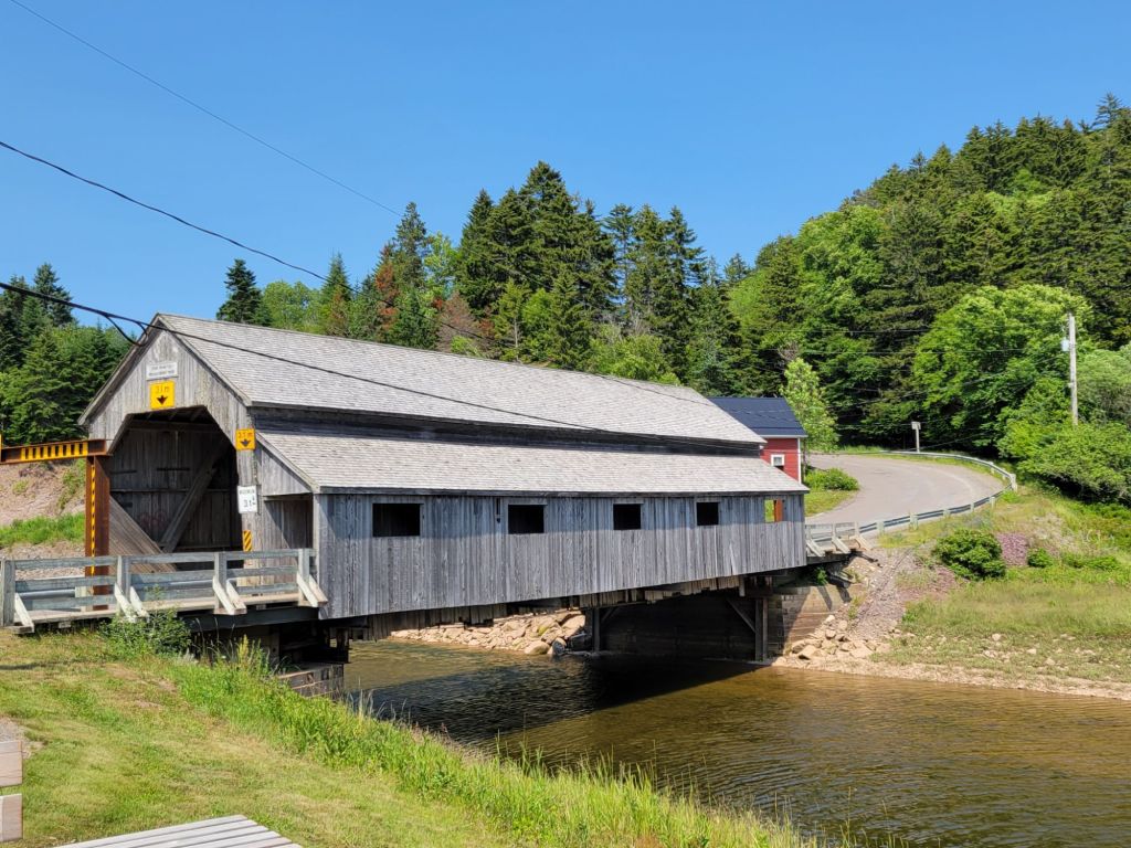
St. Martins has at least two covered bridges. The one above is the one we crossed to get to the Fundy Parkway. The second covered bridge