
At last! Beautiful weather. Today we drove along the Cliffs of Fundy, which was on the opposite side of the water from Burntcoat Head. It was an all-day affair, but we had a great time.
Thomas Cove
Greg wanted to hike one of the trails at Thomas Cove. This turned out to be harder than we had expected. Either the trail dumped us out on a sandy beach with no idea which way we were supposed to go, or the trail was virtually invisible. All the warnings about poisonous plants didn’t help.
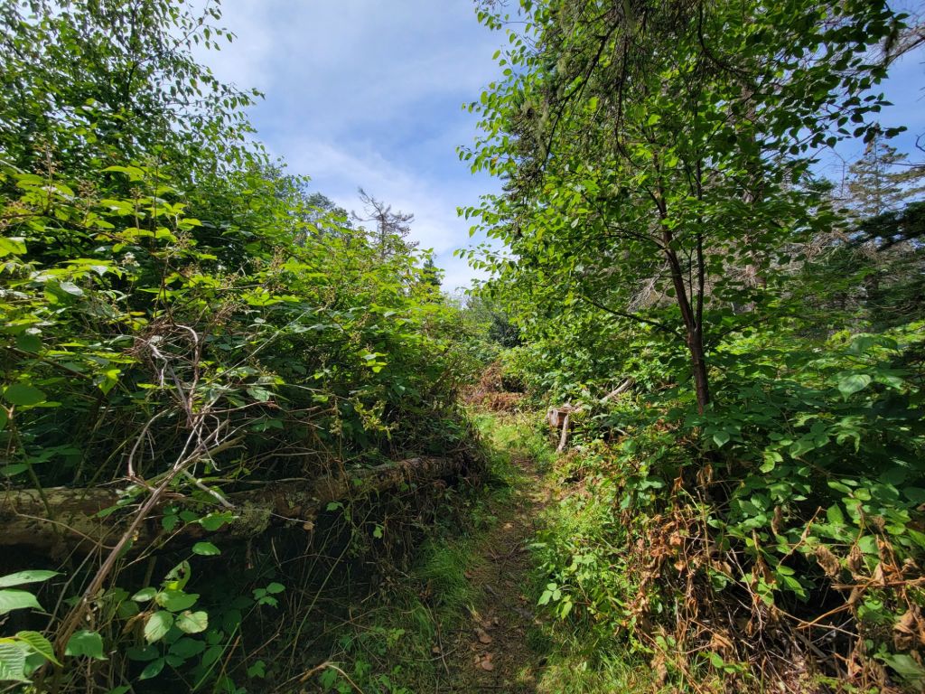
The views were beautiful, though.
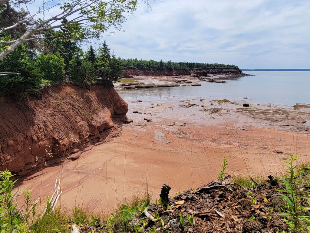
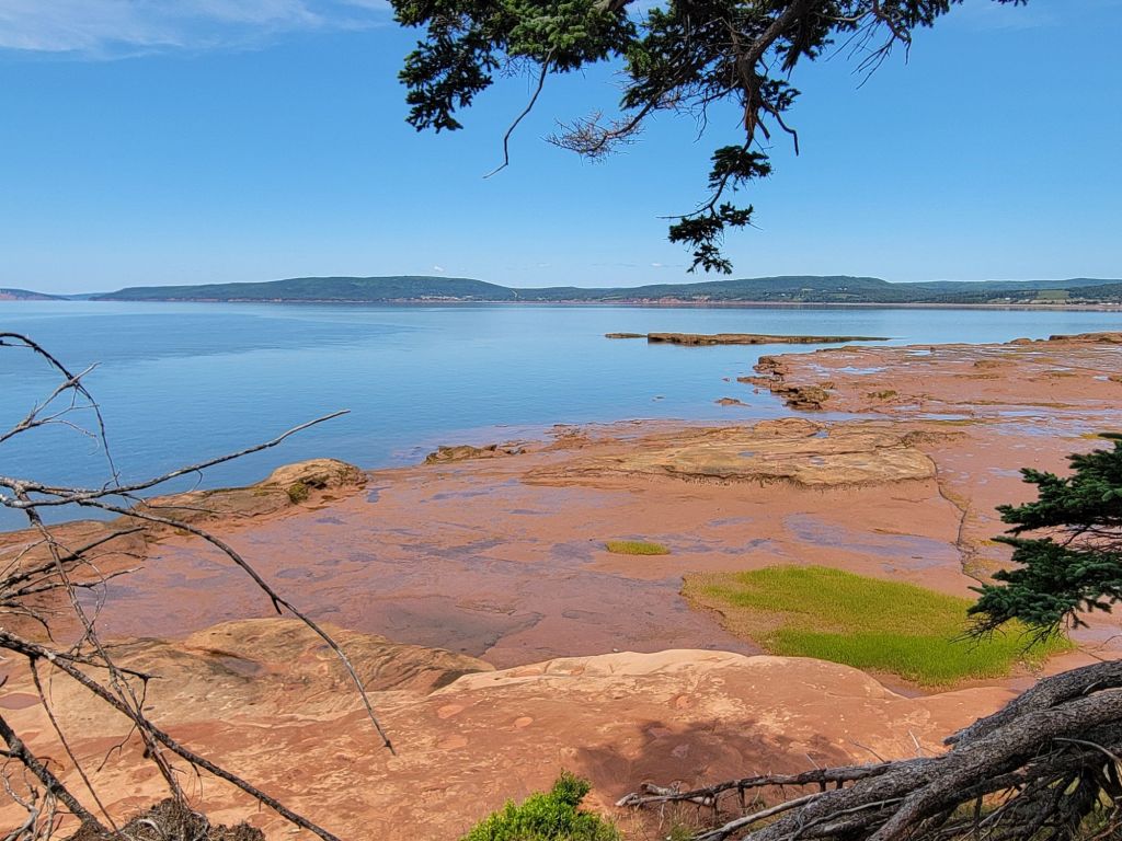
Five Islands Provincial Park
After a quick stop at the Welcome Center and a quick tour of the World War II tower, we headed to Five Islands Provincial Park.
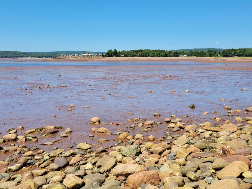
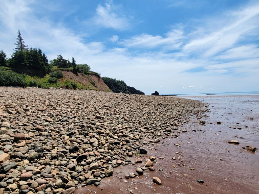
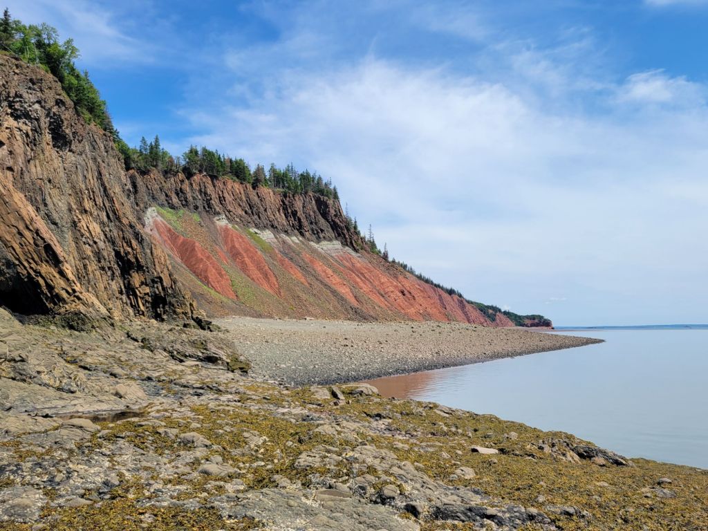
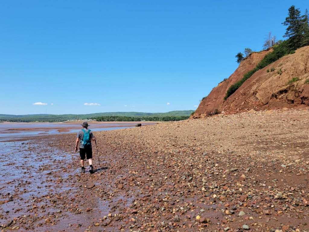
Most of the beaches in Canada seem to be filled with small rocks. That was the case with Five Islands Provincial Park as well, but as the tide withdrew, red sand and large slabs of limestone were exposed.
Where we could, we walked along the sand and limestone slabs.
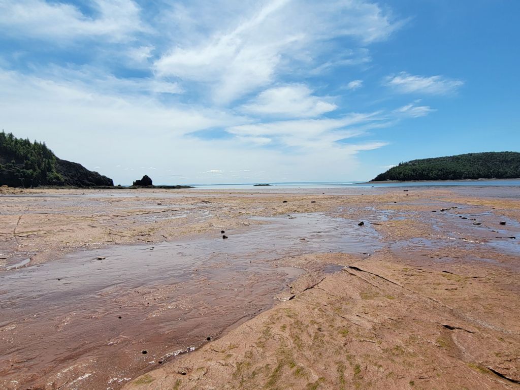
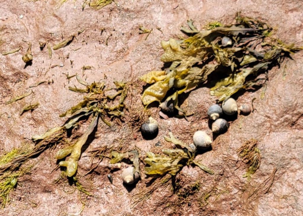
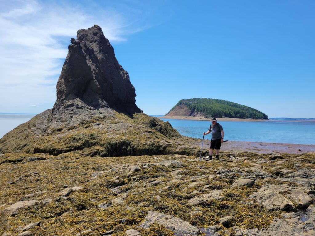
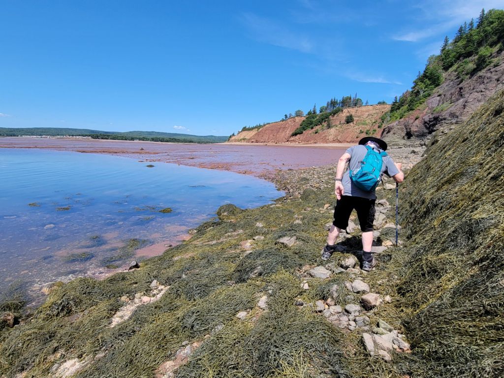
Getting to Old Wife was not as easy as we had been led to believe by the employee at the visitor center.
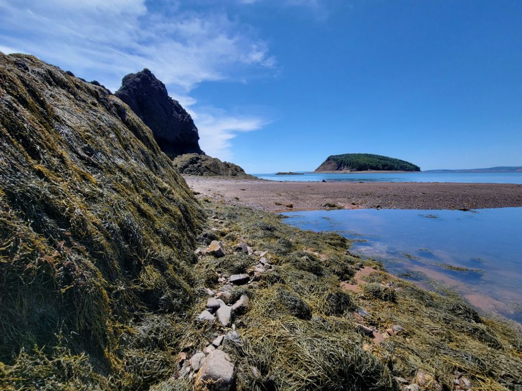
The trek was worth it, though. After we climbed over more rocks and seaweed, we were treated to the view below. According to the employee at the visitor center, these rocks were once part of Pangea. The other half of them is in Morocco.
Five Islands Lighthouse Park
Next up on our drive along the Cliffs of Fundy Geopark was Five Islands Lighthouse Park.
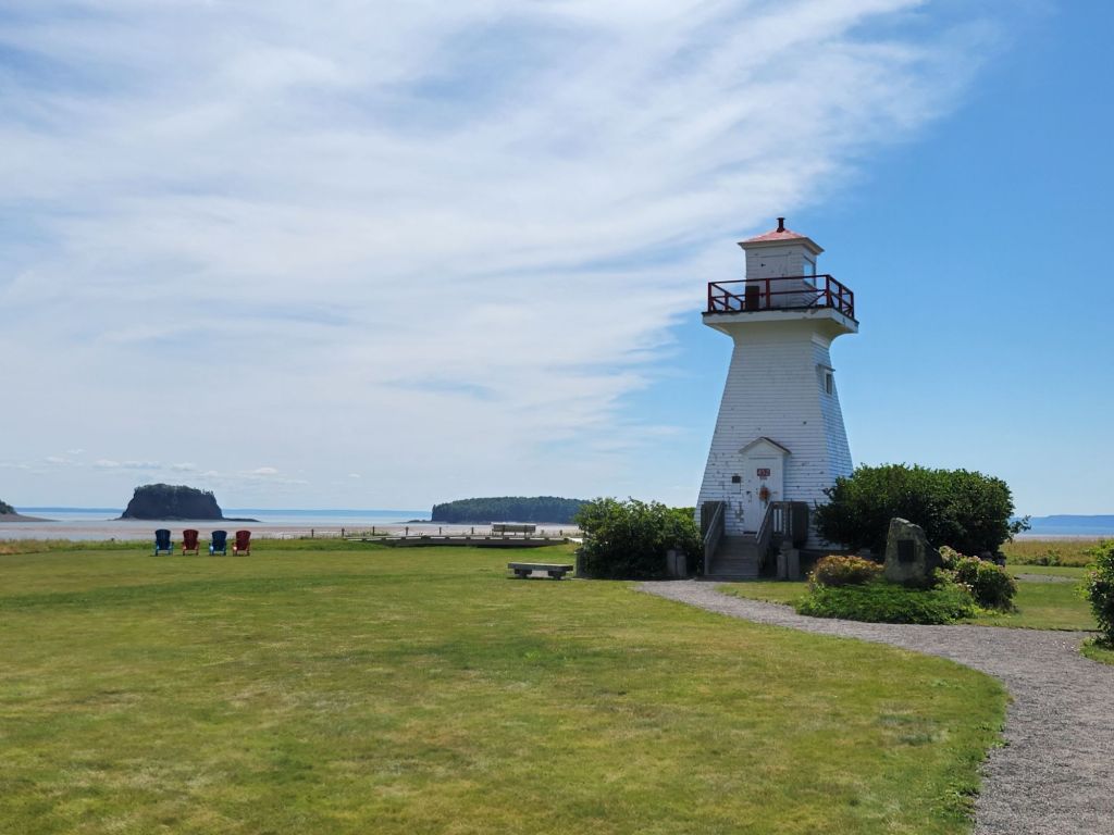
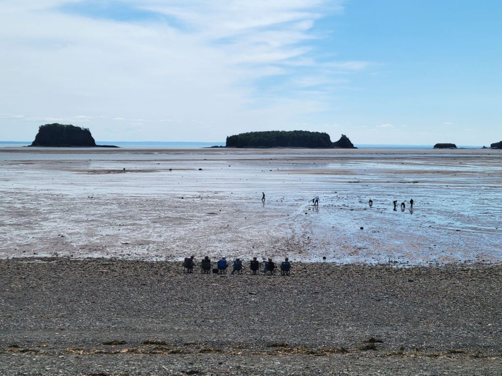
In the photo above, you can see a few of the five islands.
The Fundy Geological Museum
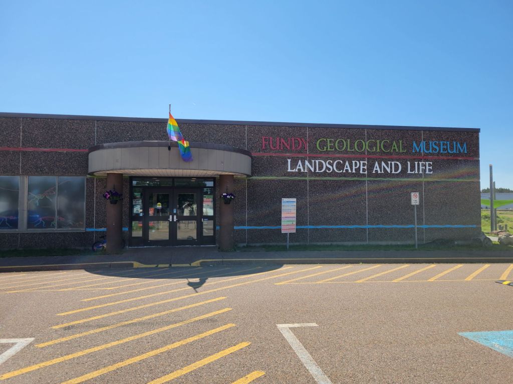
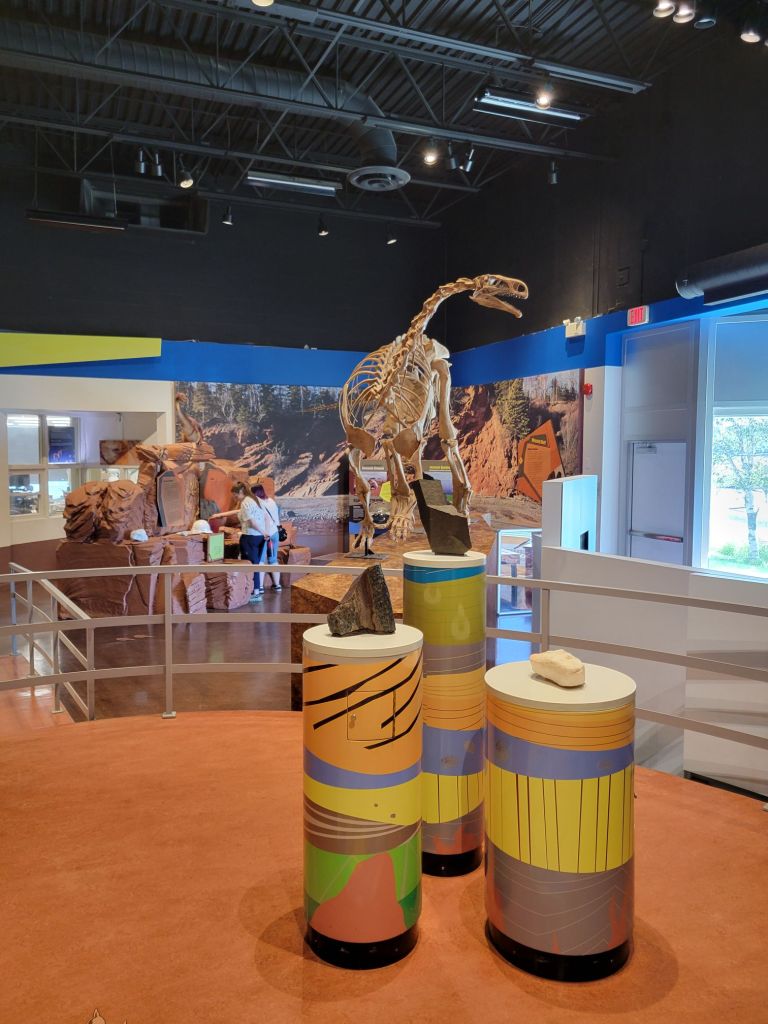
Our next stop was the Fundy Geological Museum, where we got to view the different types of rock that tell the story of Nova Scotia’s geological history.
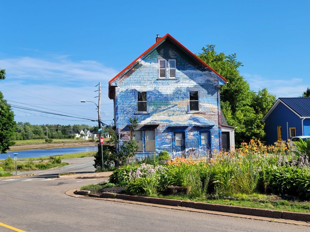
On the way out of town, I took the photo below. I thought it was pretty, and it reminded me of the beach.
Ottawa House Museum
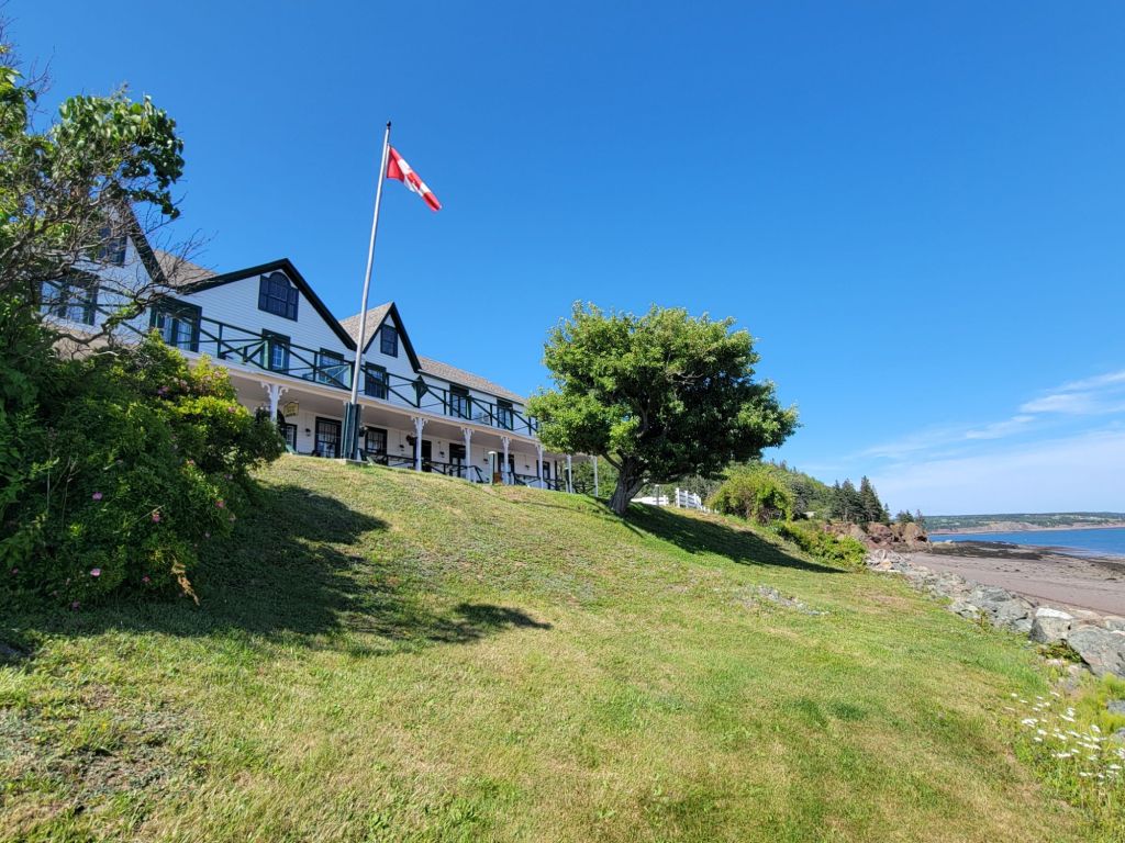
Next, we stopped by Ottawa House Museum, mostly just to get a picture and see what it looked like. We didn’t go in. By this time, it was getting late, and we still had to drive over an hour back to the campground.
One of the many lighthouses along The Cliffs of Fundy is not far from Ottawa House Museum, so we decided to make a quick stop there. We should have known better. Canada is exceptionally good at hiding its lighthouses.
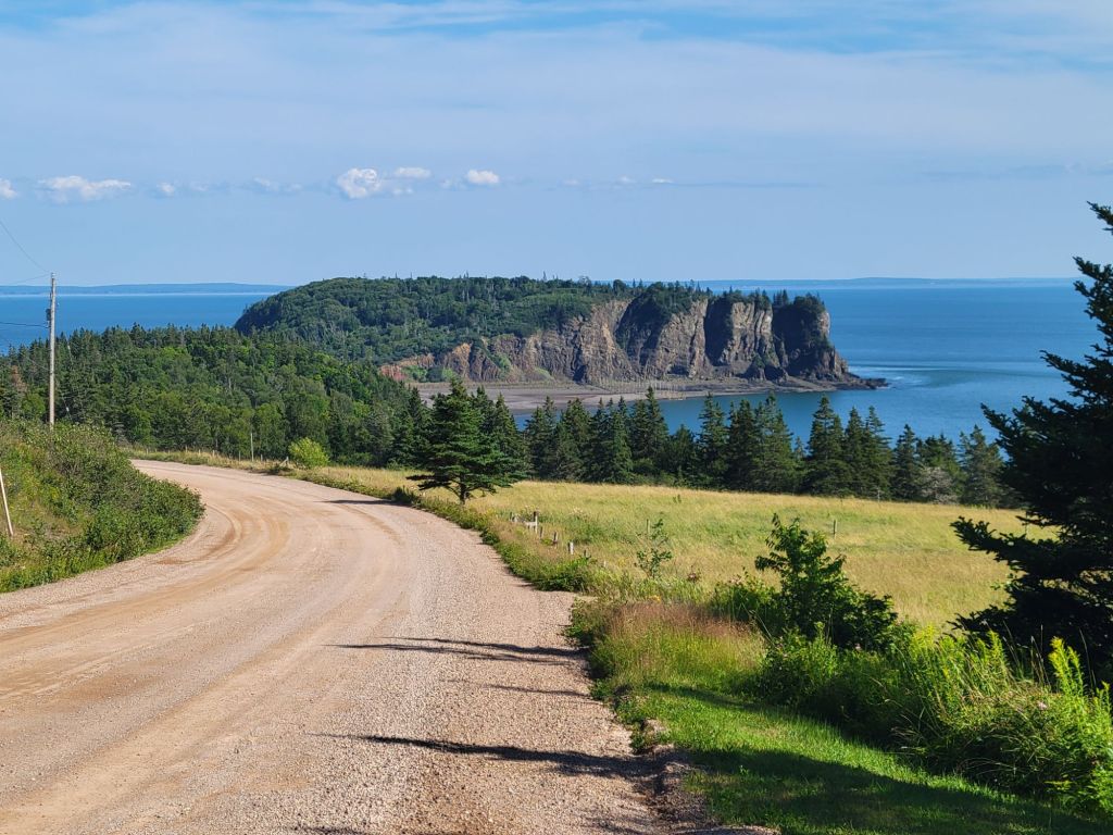
After driving down a gravel road for several kilometers and reaching a dead end, then turning around and driving all the way back again, we finally found the road that should take us to the lighthouse. Unfortunately, the road was little more than a rarely-used overgrown track. I’m not sure our truck could have navigated it. Needless to say, we didn’t attempt it.
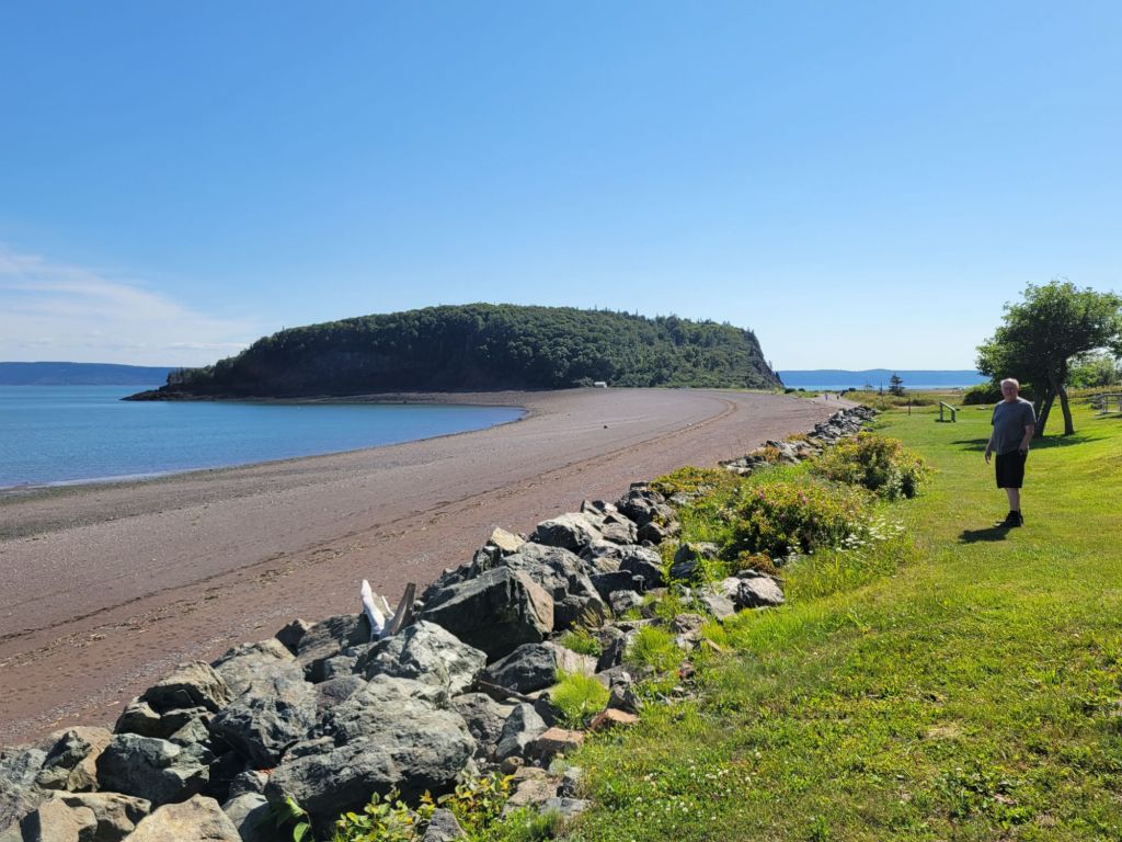
On the way back to the campground, we were treated to this pretty view of Partridge Island.
Hidden Falls
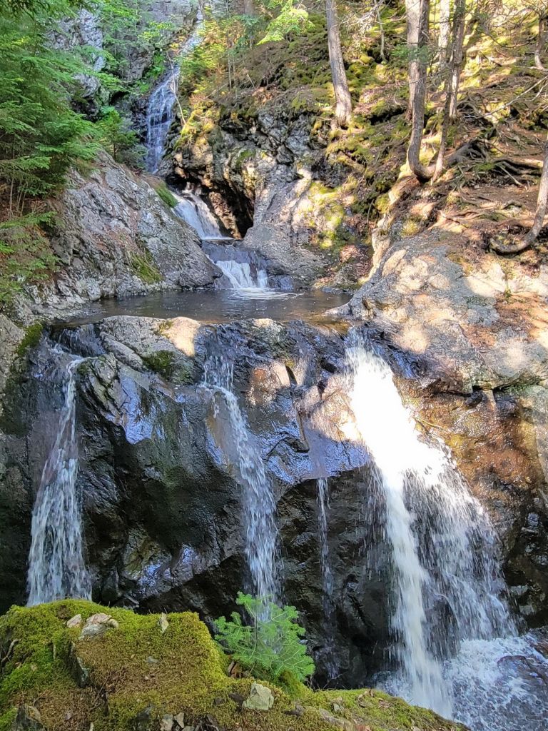
We made one final stop before calling it a day. When we pulled in to the tiny parking lot for Hidden Falls, we were the only ones there.
After a short 15-minute hike, we arrived at the falls. The pictures really don’t do it justice, although I find that true of falls in general.
All in all, it was a great day. We recorded 14,000 steps, and by the end of the day, I felt every one of them.

 Meanderings & Mind Munchies