The Cliffs of Fundy Geopark

At last! Beautiful weather. Today we drove along the Cliffs of Fundy, which was on the opposite side of the water from Burntcoat Head. It was an all-day affair, but we had a great time.

Thomas Cove

Greg wanted to hike one of the trails at Thomas Cove. This turned out to be harder than we had expected. Either the trail dumped us out on a sandy beach with no idea which way we were supposed to go, or the trail was virtually invisible. All the warnings about poisonous plants didn’t help.
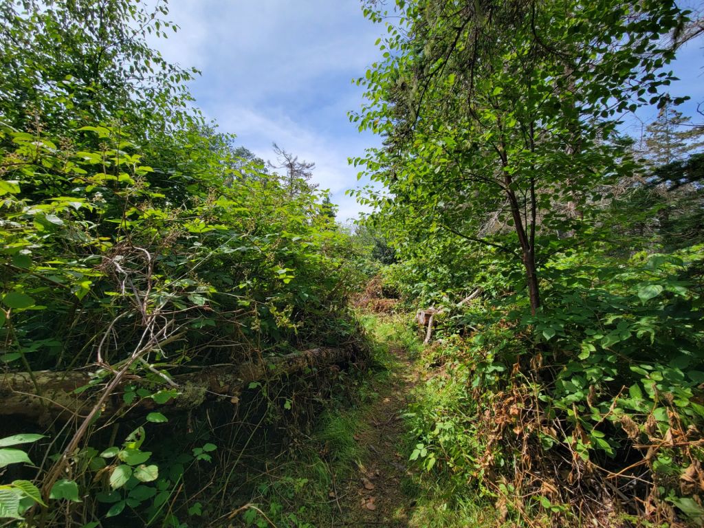
This is not the kind of trail I am used to hiking.

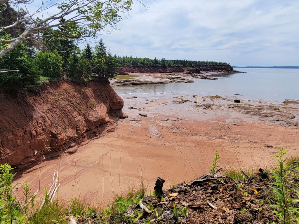
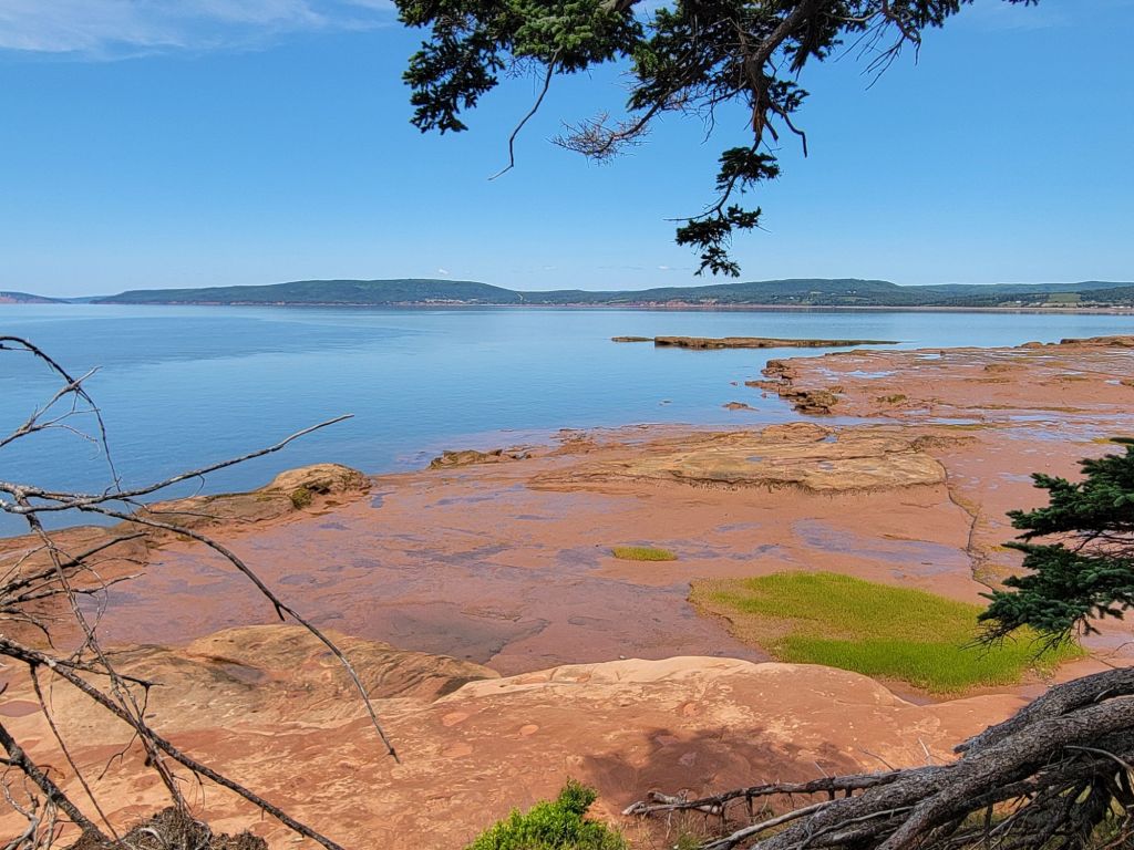
The views were beautiful, though.

Five Islands Provincial Park

After a quick stop at the Welcome Center and a quick tour of the World War II tower, we headed to Five Islands Provincial Park.
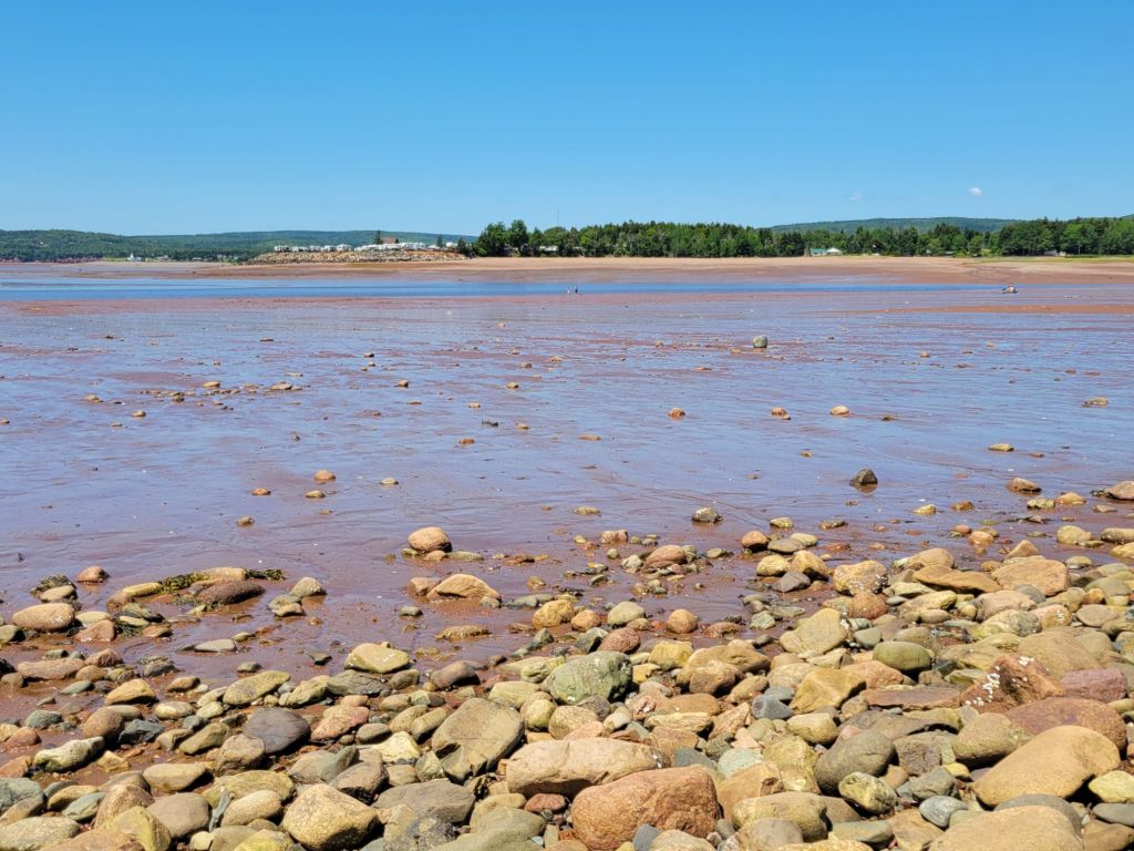
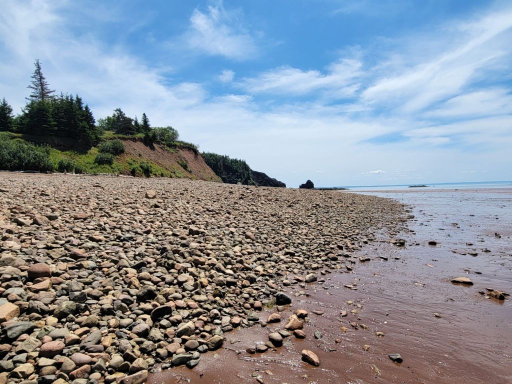
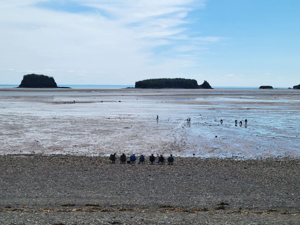
If you zoom in, you can see tiny people walking in the distance. That’s how much of the seafloor was exposed.
Do you see that little rock separated from the others? That is called Old Wife, and it was our destination.

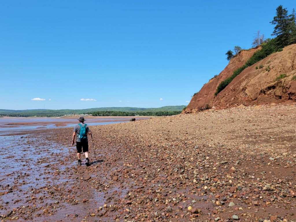
Most of the beaches in Canada seem to be filled with small rocks. That was the case with Five Islands Provincial Park as well, but as the tide withdrew, red sand and large slabs of limestone were exposed.

Where we could, we walked along the sand and limestone slabs.
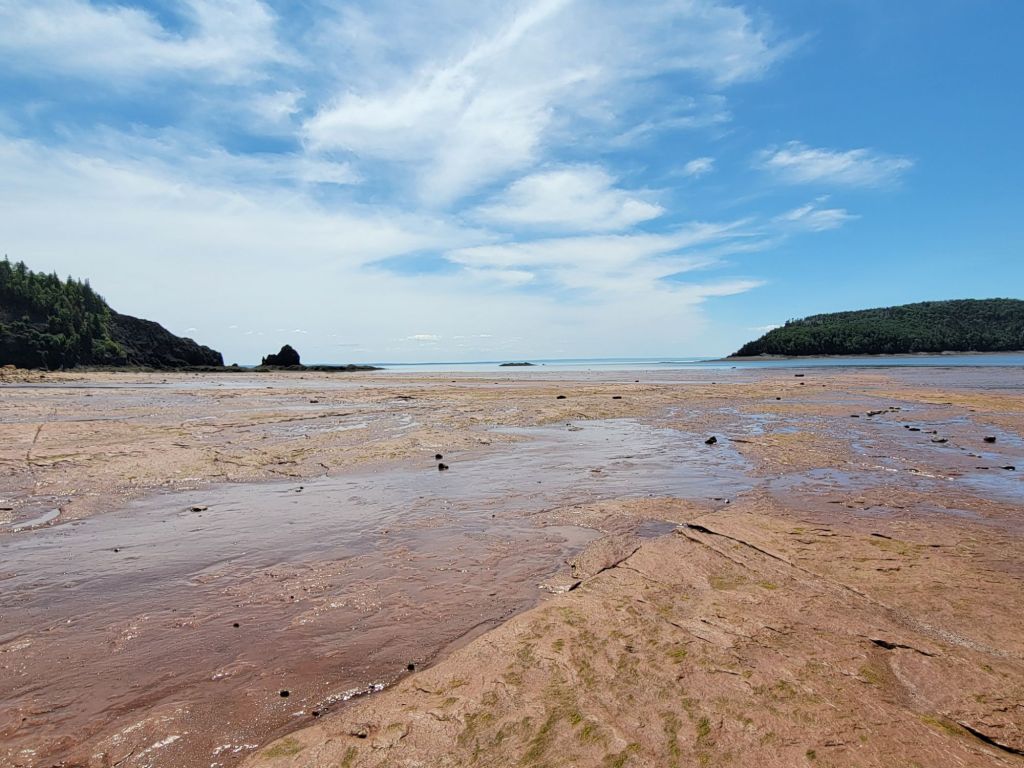
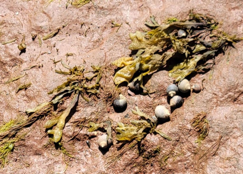
These limestone slabs made walking fairly easy. Thousands of little snails clung to their crevices.

Getting to Old Wife was not as easy as we had been led to believe by the employee at the visitor center.
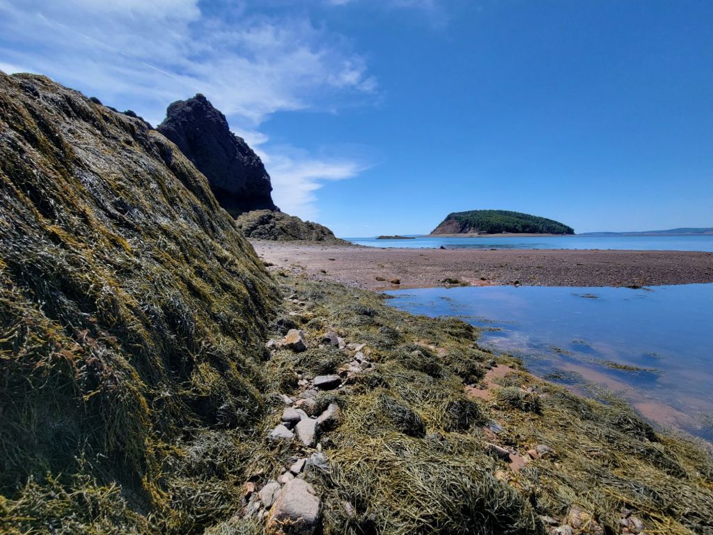
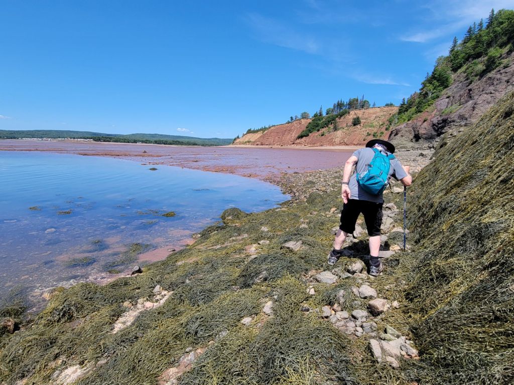
Between the rocks, the seaweed, and the ebbing tide, we had quite a challenge!

The trek was worth it, though. After we climbed over more rocks and seaweed, we were treated to the view below. According to the employee at the visitor center, these rocks were once part of Pangea. The other half of them is in Morocco.
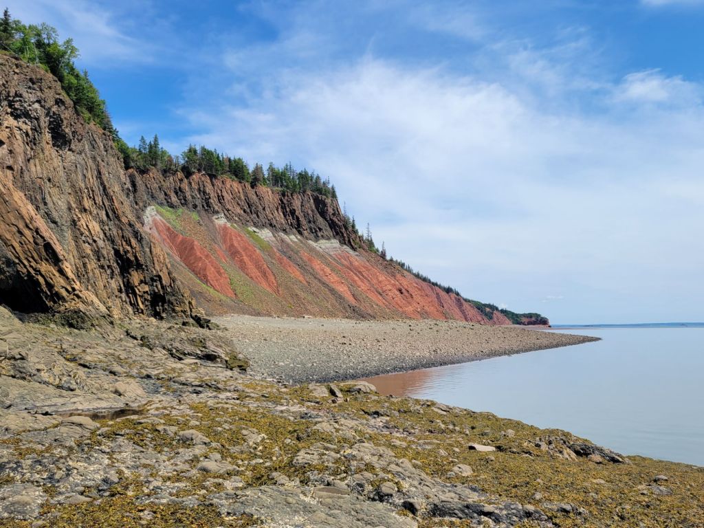
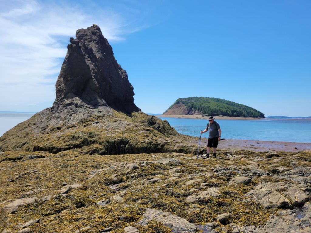
Greg, standing beside Old Wife with Moose Island in the background.

Five Islands Lighthouse Park

Next up on our drive along the Cliffs of Fundy Geopark was Five Islands Lighthouse Park.
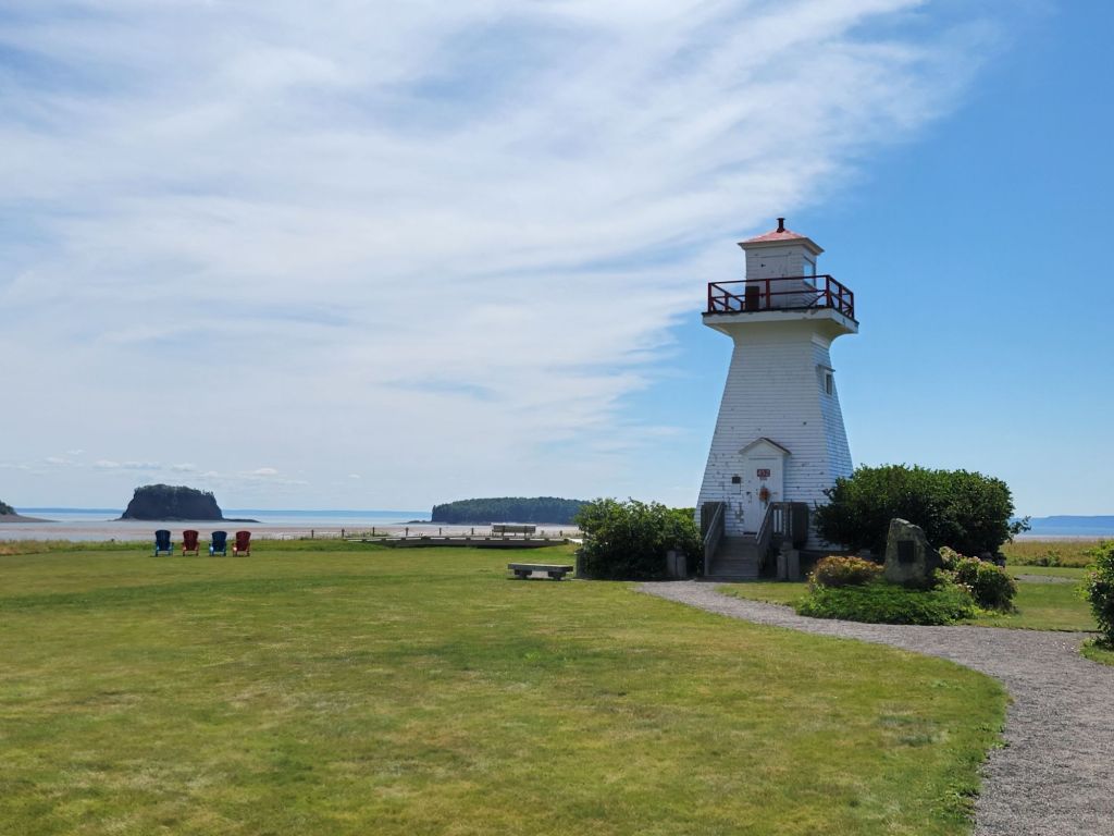
In the photo above, you can see a few of the five islands.

The Fundy Geological Museum

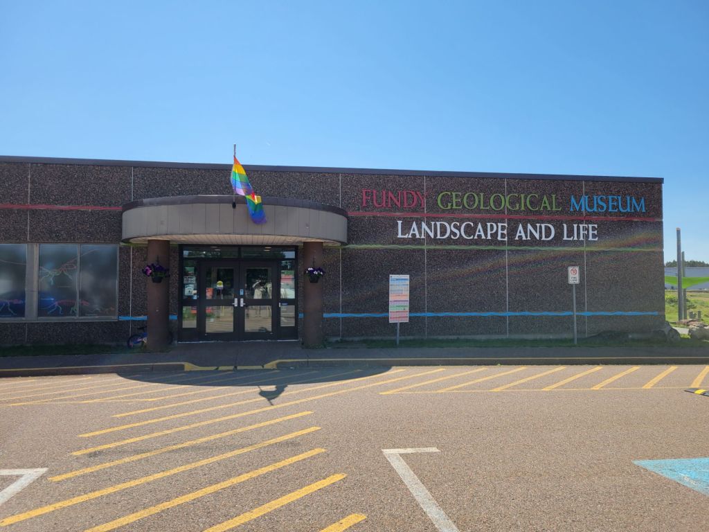
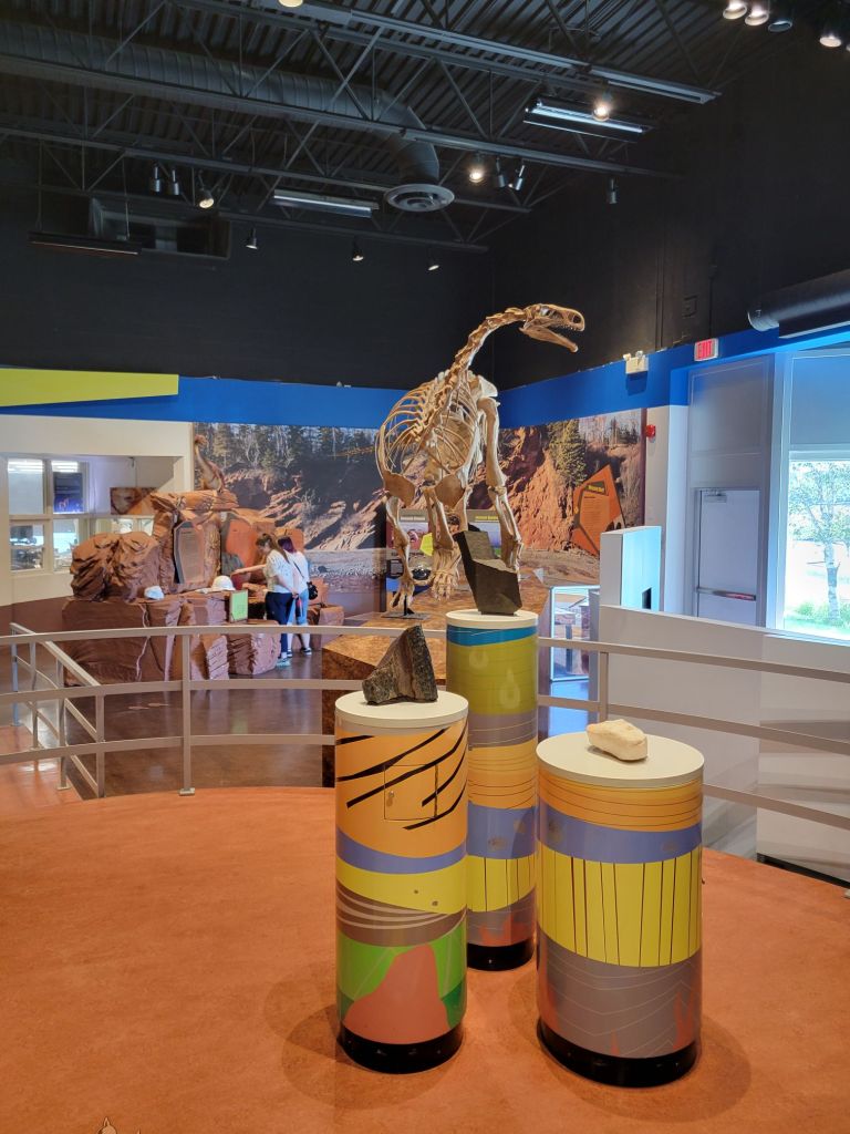
Our next stop was the Fundy Geological Museum, where we got to view the different types of rock that tell the story of Nova Scotia’s geological history.
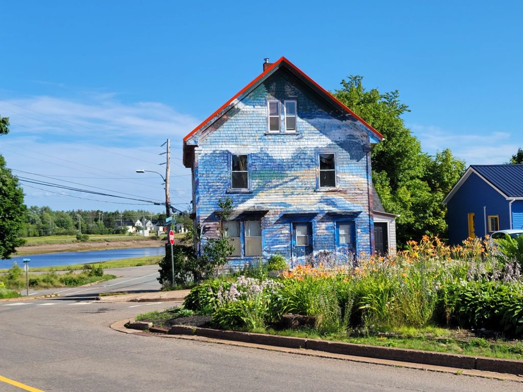
On the way out of town, I took the photo below. I thought it was pretty, and it reminded me of the beach.
Ottawa House Museum

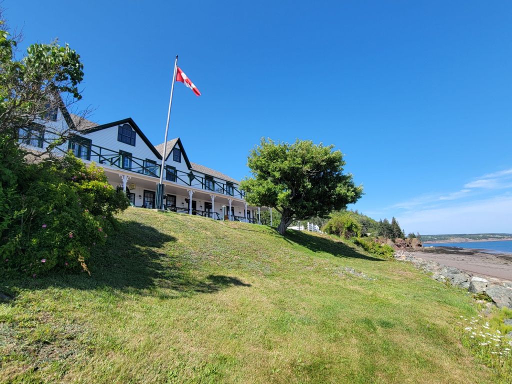
Next, we stopped by Ottawa House Museum, mostly just to get a picture and see what it looked like. We didn’t go in. By this time, it was getting late, and we still had to drive over an hour back to the campground.
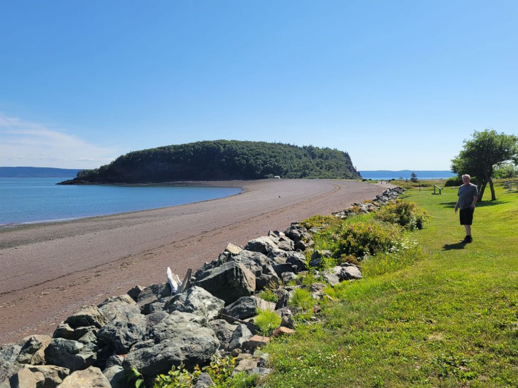
The view of Partridge Island from the lawn of Ottawa House.

One of the many lighthouses along The Cliffs of Fundy is not far from Ottawa House Museum, so we decided to make a quick stop there. We should have known better. Canada is exceptionally good at hiding its lighthouses.

After driving down a gravel road for several kilometers and reaching a dead end, then turning around and driving all the way back again, we finally found the road that should take us to the lighthouse. Unfortunately, the road was little more than a rarely-used overgrown track. I’m not sure our truck could have navigated it. Needless to say, we didn’t attempt it.

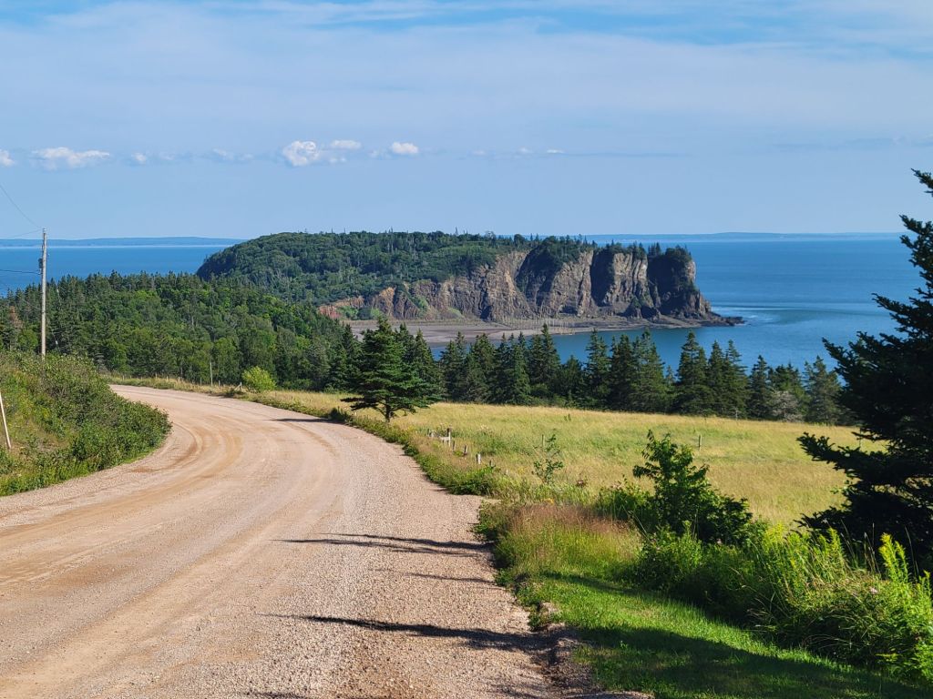
On the way back to the campground, we were treated to this pretty view of Partridge Island.
Hidden Falls

We made one final stop before calling it a day. When we pulled in to the tiny parking lot for Hidden Falls, we were the only ones there.

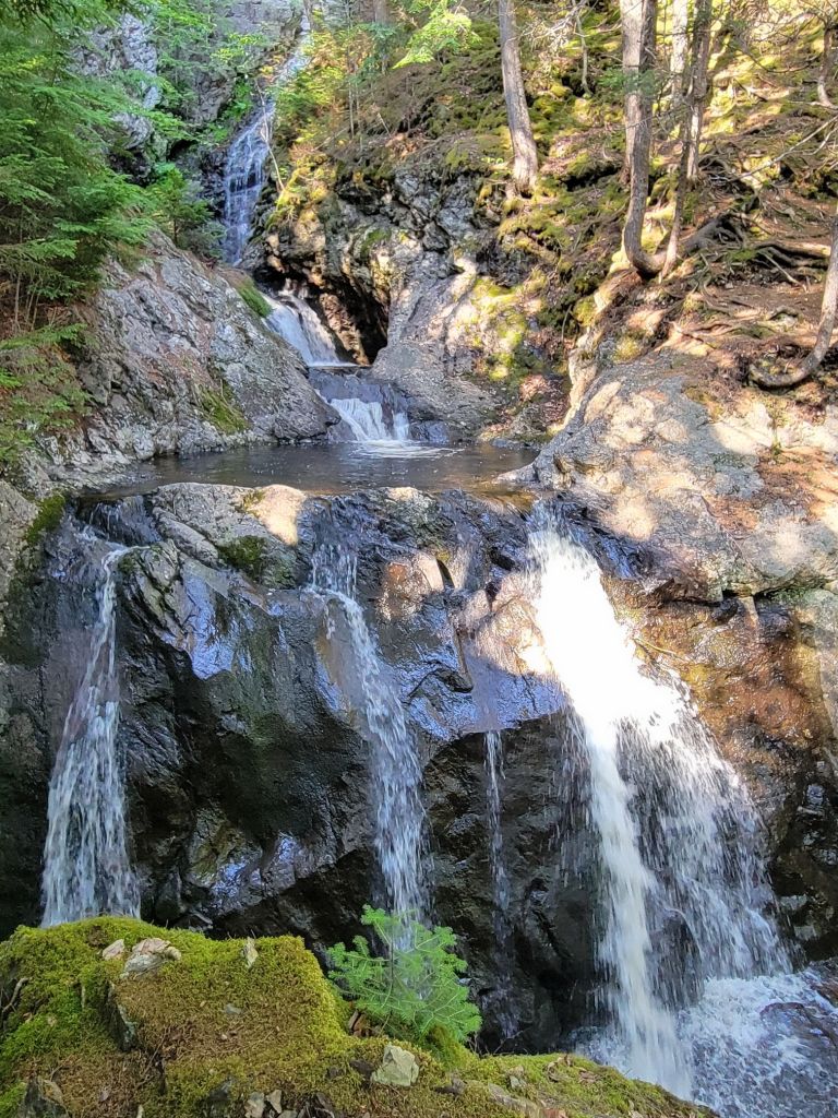
After a short 15-minute hike, we arrived at the falls. The pictures really don’t do it justice, although I find that true of falls in general.
All in all, it was a great day. We recorded 14,000 steps, and by the end of the day, I felt every one of them.
Burntcoat Head

After leaving Prince Edward Island, we headed to Truro, Nova Scotia. We will be staying in various locations in Nova Scotia over the next couple of weeks.

The first full day that we were there, it rained heavily all day. We relaxed in the camper. I pulled out a book that I had been waiting for the perfect rainy day to read.

The next day was also dreary, but Greg decided that we were going to go off and do something, damn it. So we headed to the Discovery Center, which turned out to be a different discovery center than the one he had intended to go to.

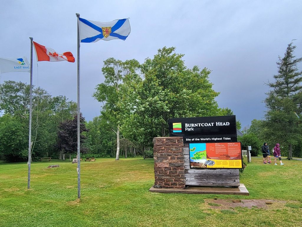
The folks there were very nice. They recommended that while we were in the area, we stop by Burntcoat Head, location of the highest tides ever recorded by the Guinness Book of World Records.

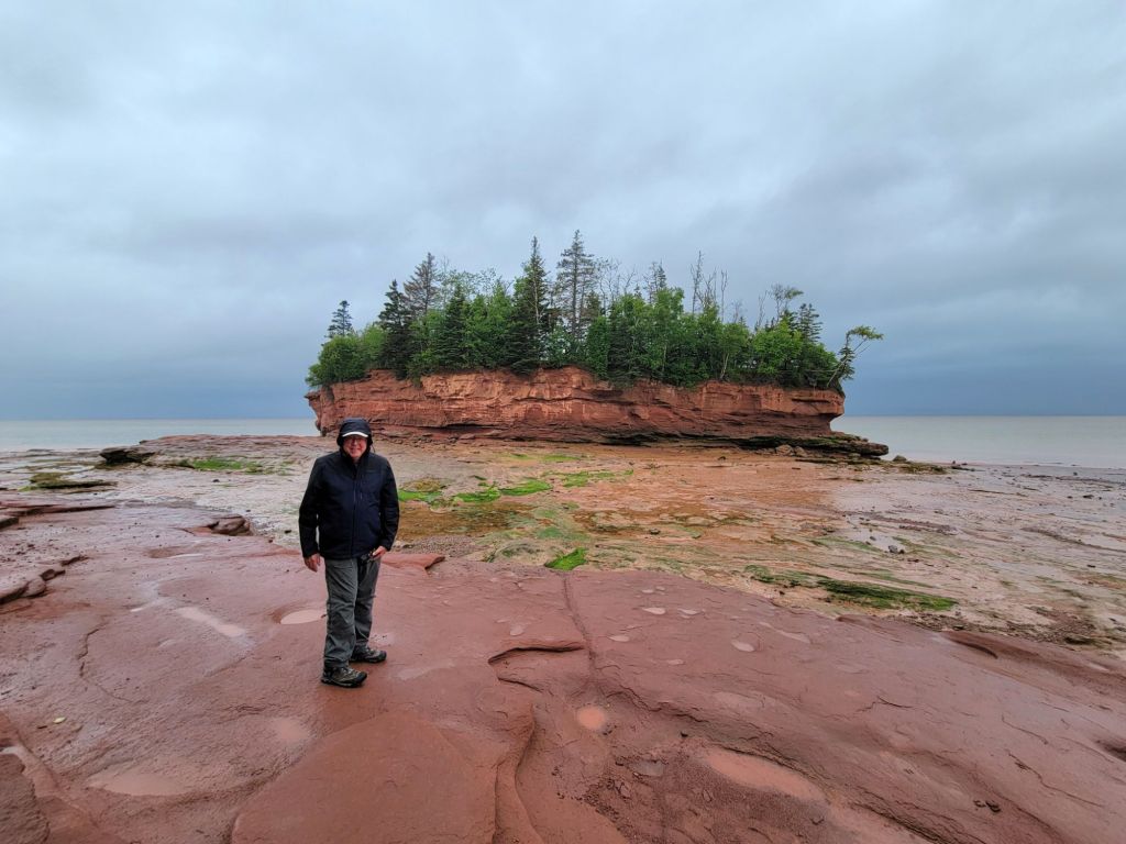
It was coming up on low tide, which I’m beginning to believe is actually the best time to explore the Bay of Fundy.

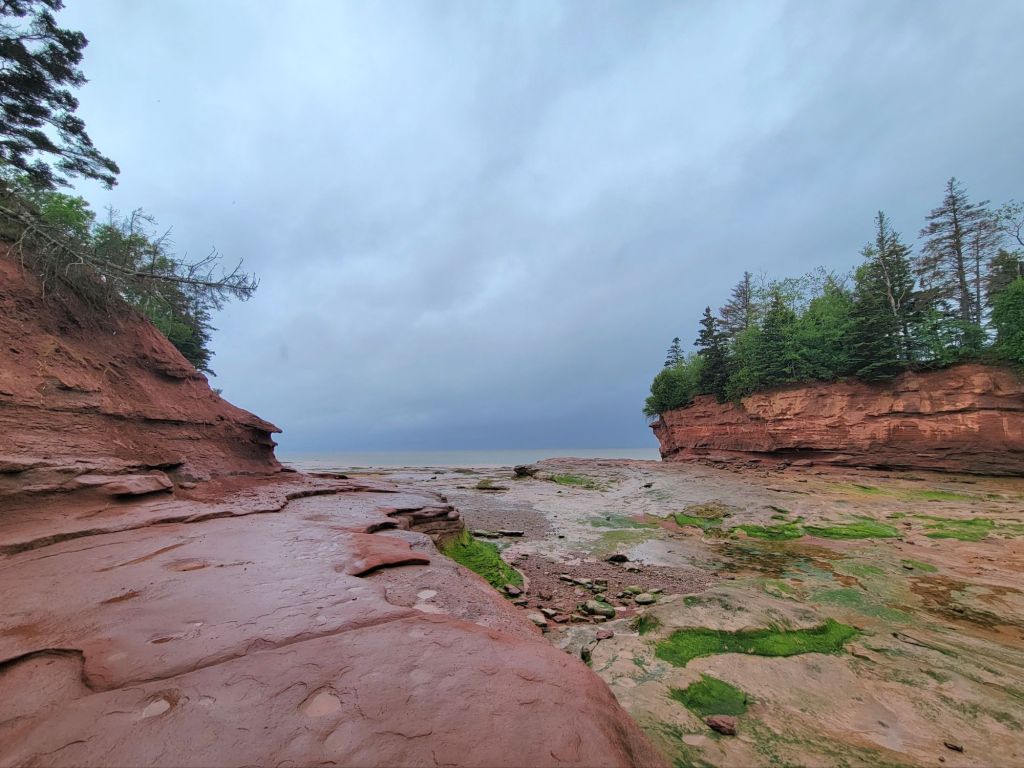
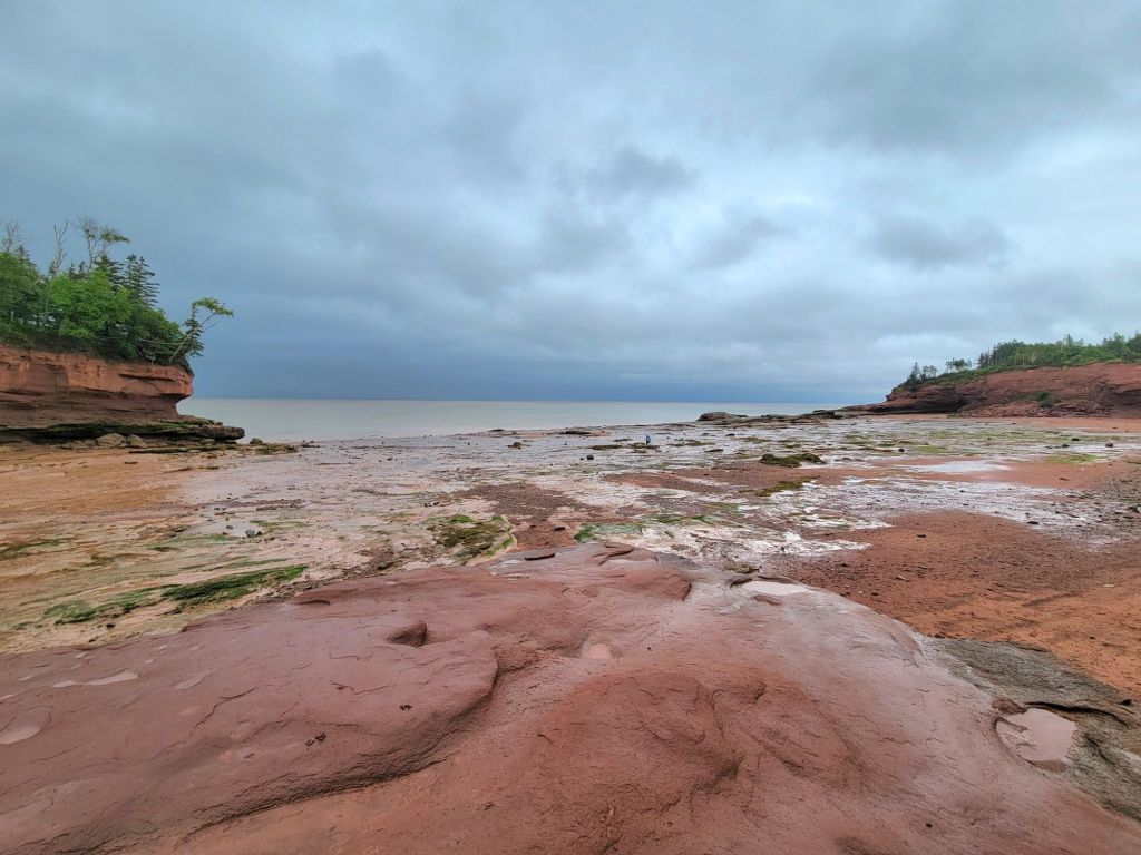
This photo was taken looking off to the left. The photo below was taken looking off to the right.
If you zoom in on this photo and look closely, you can see tiny people near the middle of the photo. This should give you an idea of how much of the ocean floor is exposed during low tide. And low tide is still 3 hours away!

After our visit to Burntcoat Head, we headed back to the camper.

Hopewell Rocks

A number of days have passed since the last time I posted. That’s not because we haven’t been doing anything. Our Wi-Fi has been really bad.

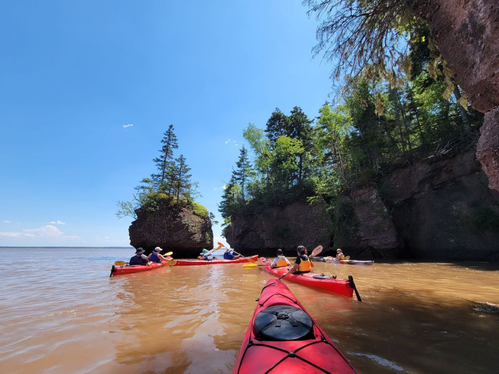
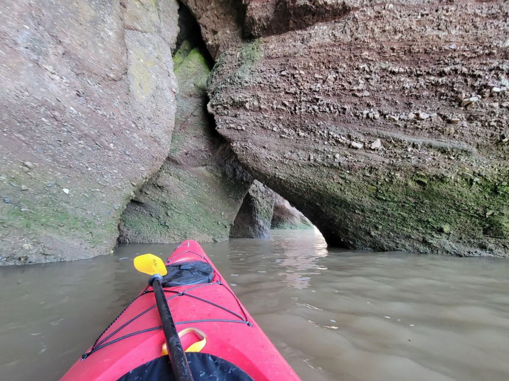
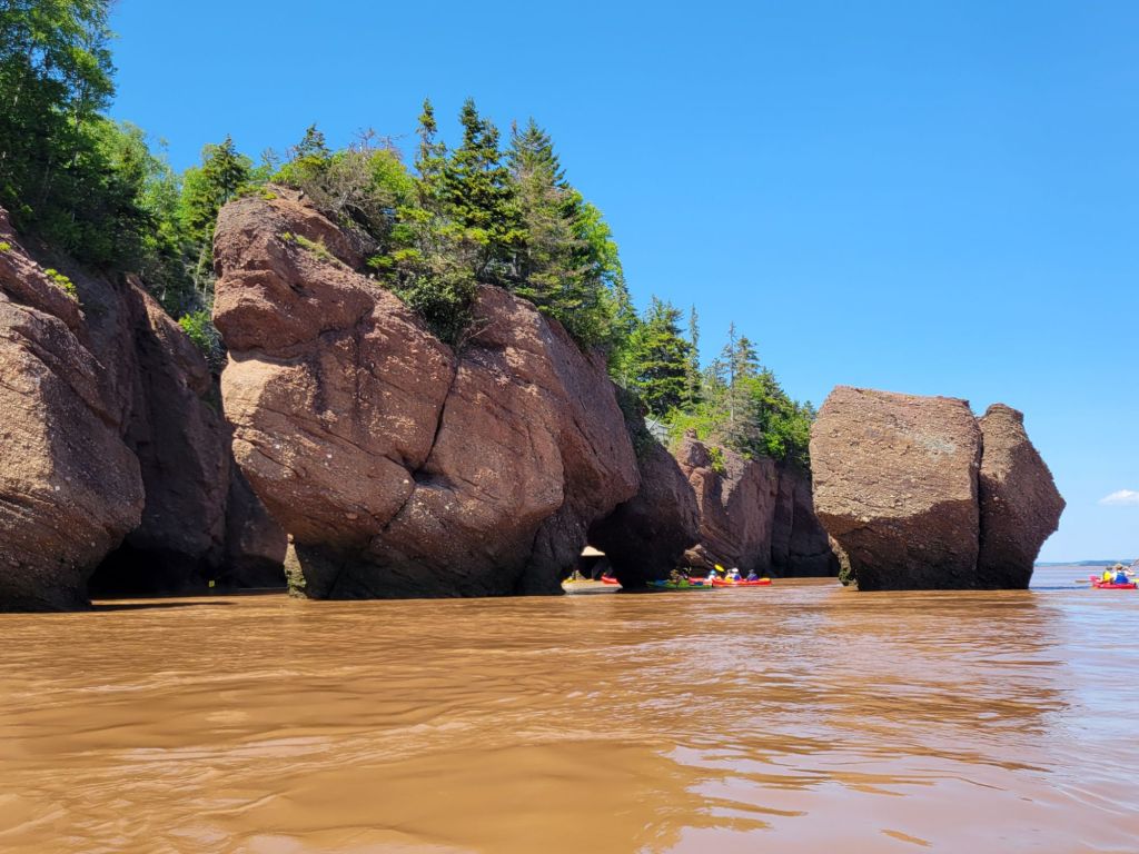
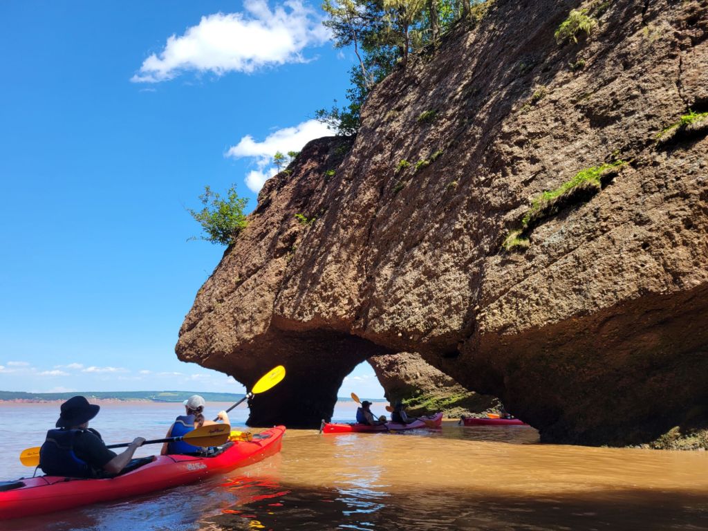
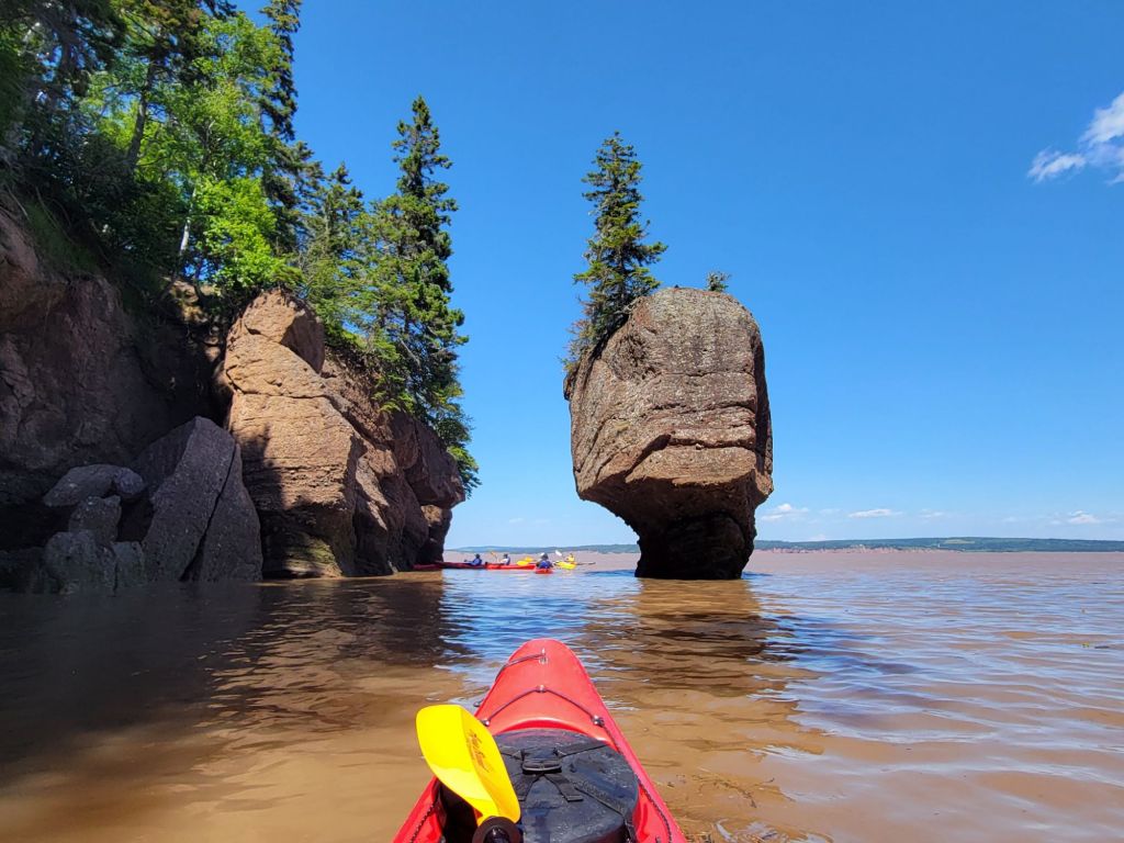
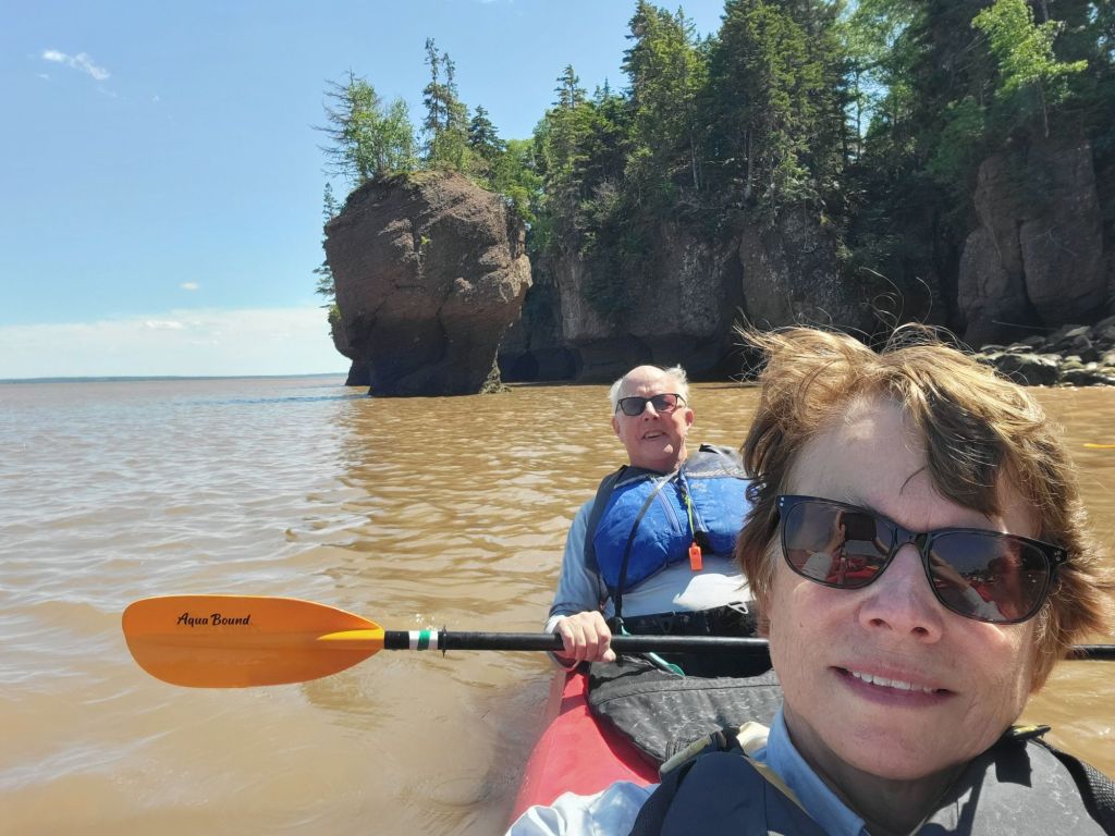
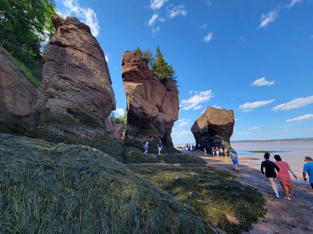
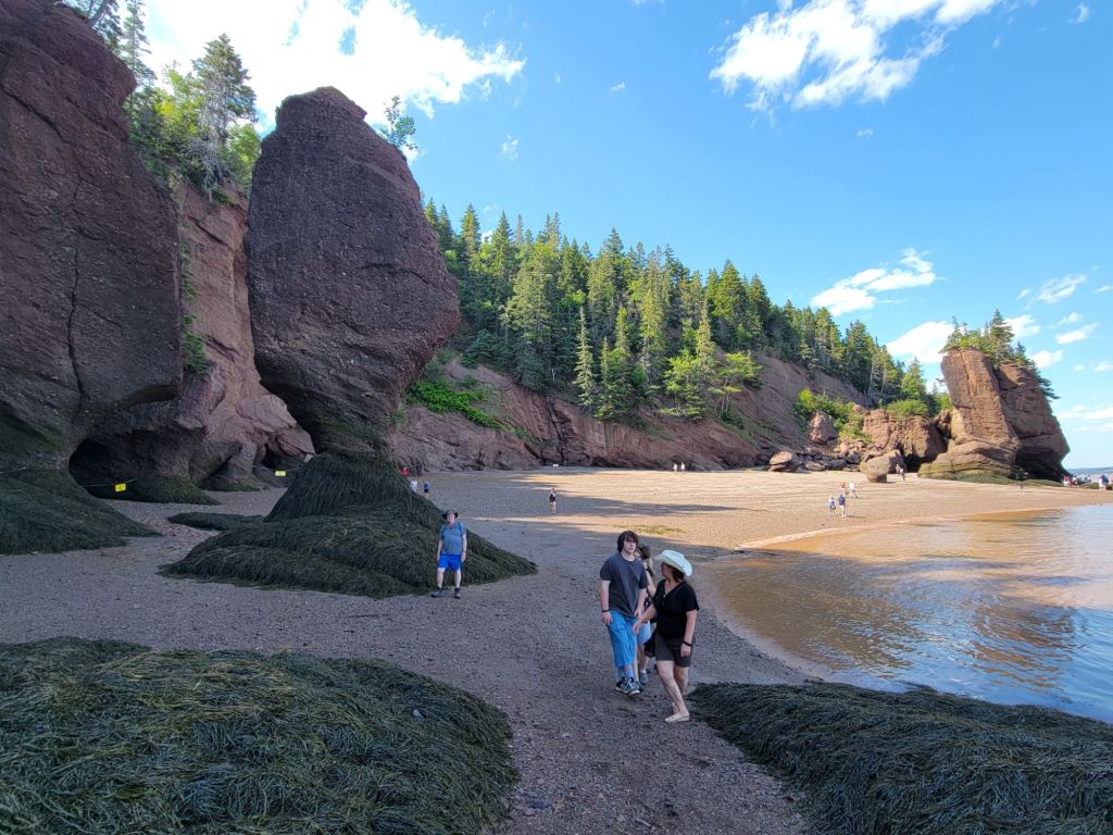
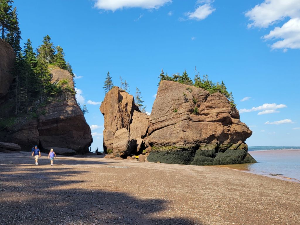
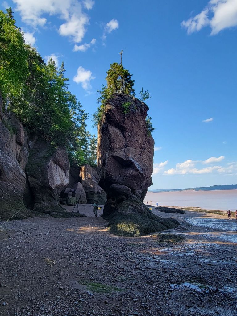
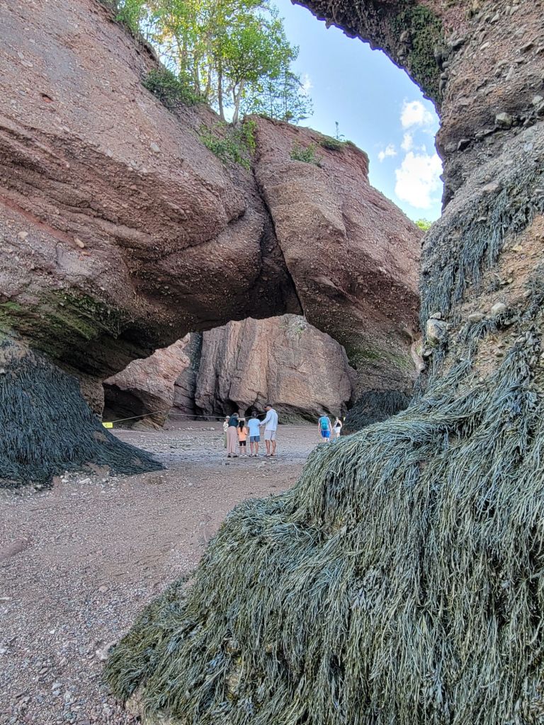
On Wednesday, we did a kayak tour of the flowerpots during high tide at Hopewell Rocks near Moncton, New Brunswick.

I realized two things on the kayak trip. First, Greg and I are old. We were the oldest participants by far. It felt very strange. I didn’t realize it until I had trouble getting out of my kayak at the end of the tour, while everyone else hopped out of their kayaks like it was no big deal. Then I looked around and didn’t see a single person over the age of 50.

The second thing I realized is that I am becoming physically weak in my old age. If I want to keep doing stuff with the 50-year-olds, I’d better take strength training more seriously!

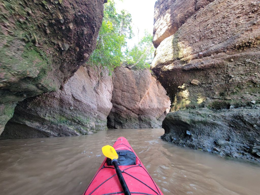
Kayaking at high tide

I was in the front of the kayak and was the designated photographer for the trip.
Greg and I quickly learned that when navigating tricky spots, it was better if I put my paddle on the kayak and let him handle the steering. Our communication skills have not improved in 38 years, which means that he was often trying to go left while I was trying to go right. The result was that we crashed into the rocks.
Look how brown the water is. That is due to the 45-foot range between high/low tide and the narrowing of the waterway, forcing the tide up the Bay of Fundy at speed.

Walking the beach at mid tide

We finished our kayak tour around 3:00 p.m. Low tide was scheduled for 8:00 p.m. Our plan was to hang around the park until then so that we could get a picture of low tide.

After changing our wet clothes, we went to the cantina and enjoyed an ice cream. Then we wandered over to the nearby overlook to check out the rocks from above that we had earlier kayaked around.

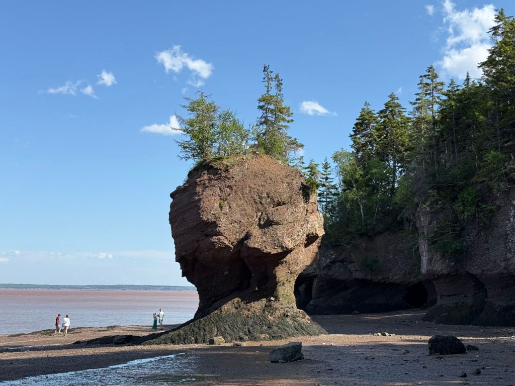
I was absolutely astonished to see this scene.

In about an hour and a half, the tide had fallen far enough that you could walk among the flowerpots.

We had just kayaked around those stones!

After getting our 12,000 steps in by walking up and down the shoreline, we took the shuttle back to the visitor center.

As we were waiting in line for the shuttle, everyone started talking about the World Cup game. The match between Argentina and England was playing at the time. Not being a sports fan myself, I found it interesting the way that sports can almost instantly create a sense of camaraderie among total strangers.

Once back at the visitor center, we headed to the restaurant for dinner.

One thing I’ve noticed about Canadians is that they tend to be very overweight, particularly the women. In fact, I think they may have an edge over Americans in terms of obesity. From what I have noticed when we eat out, vegetables do not seem to be an essential part of meals here, which may explain things.

As we were coming out of the restaurant, we could see down the hill to the bay. Once again, the scene had completely changed.

Hopewell Rocks mud flats at low tide

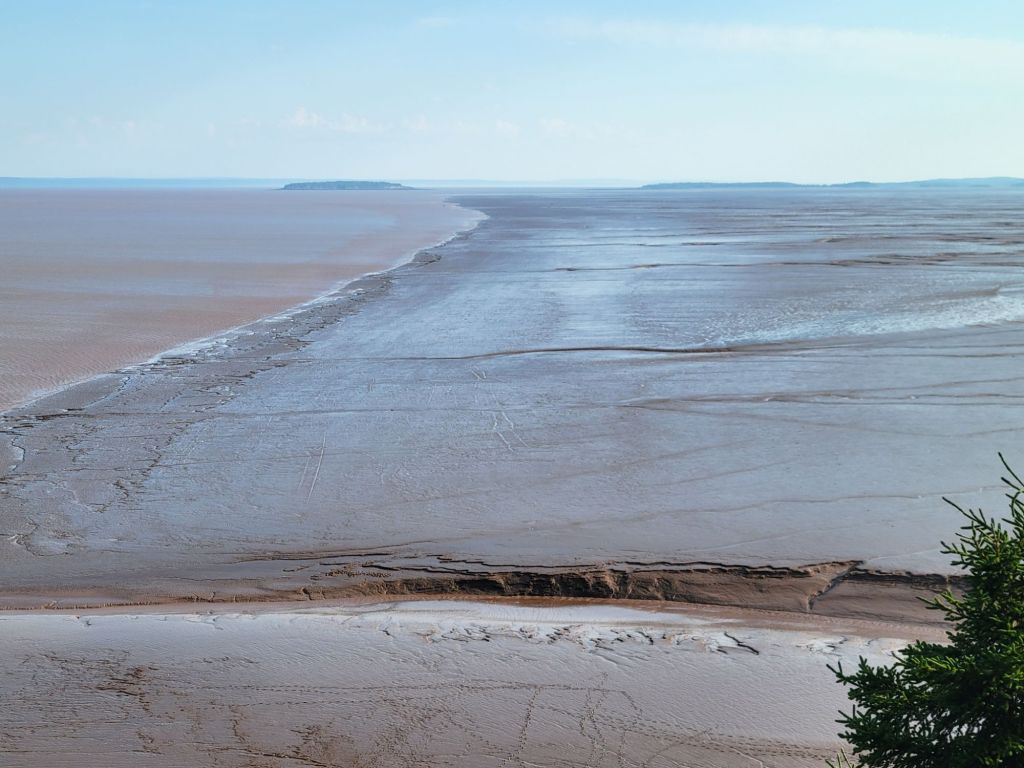
The tide had fallen far enough that the mud flats of Fundy Bay were exposed.

Yes, that’s mud…almost as far as the eye can see.
To the left is the water of the bay. To the right are the mud flats.

Shediac Lobster Boat Tour

On Thursday, we headed to Shediac to take a boat tour and enjoy a lesson in lobster fishing.

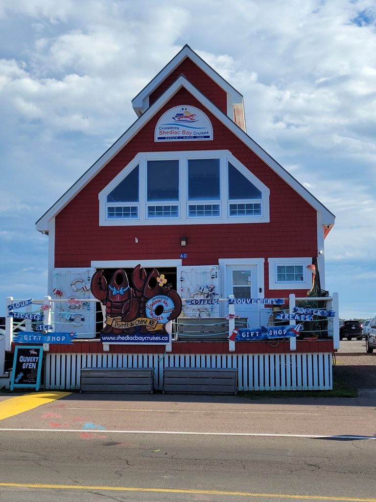
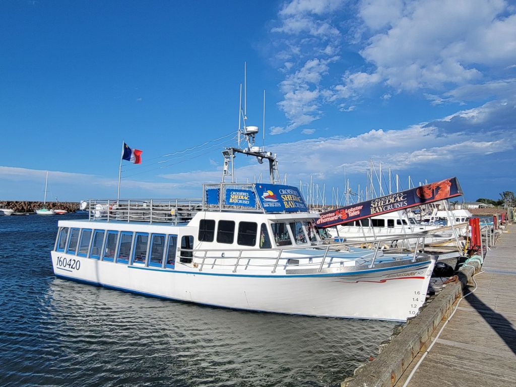
The tour company was called Shediac Bay Cruises, and the tour was called Lobster Tales.
Our boat
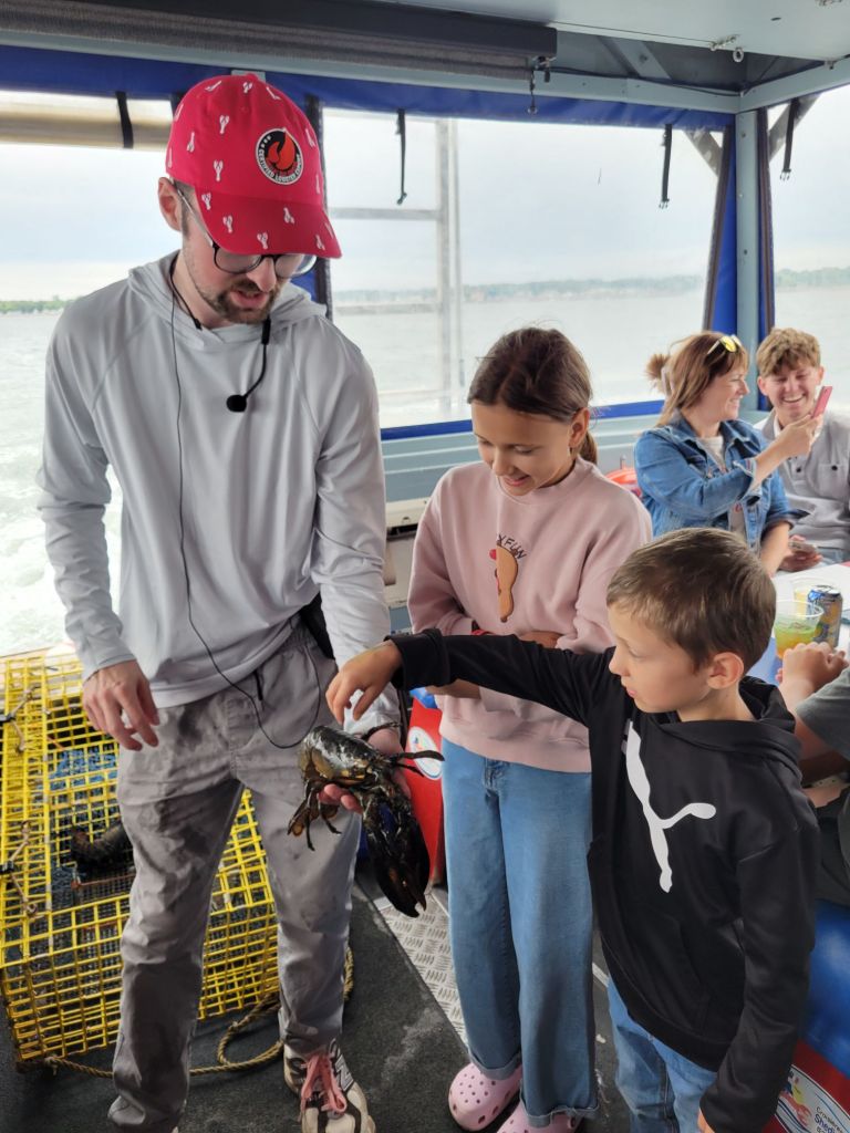
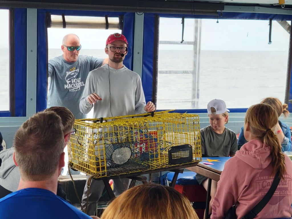
Chris, our tour guide, is encouraging the kids to pet the lobster.

Since New Brunswick is a bilingual province, most of the tours are conducted in French and English. Our tour guide would speak a sentence in English and immediately repeat it in French. The constant back and forth meant that I really had to pay close attention to catch the English portion of his lecture. Thankfully, he had a microphone that worked very well at projecting his voice, so at least I didn’t have to worry about hearing him too.

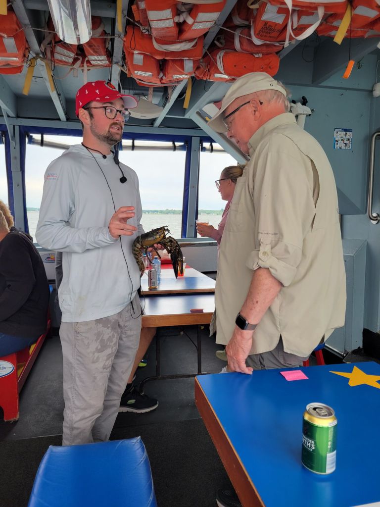
Greg, getting his own private lesson in lobster physiology.
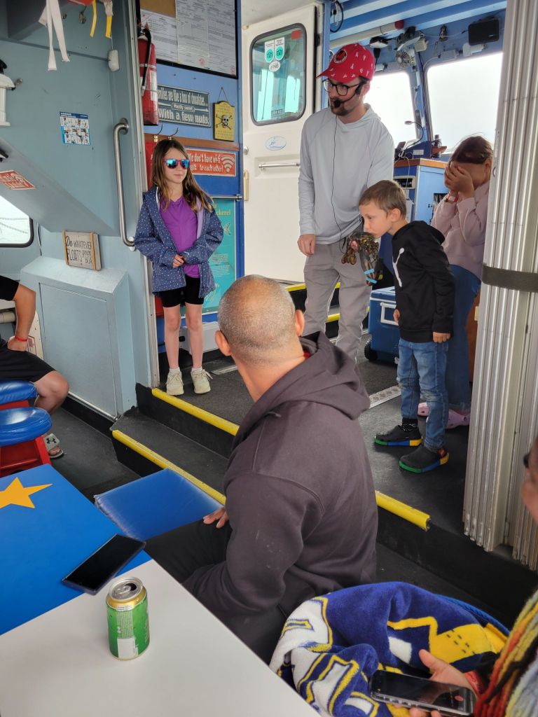
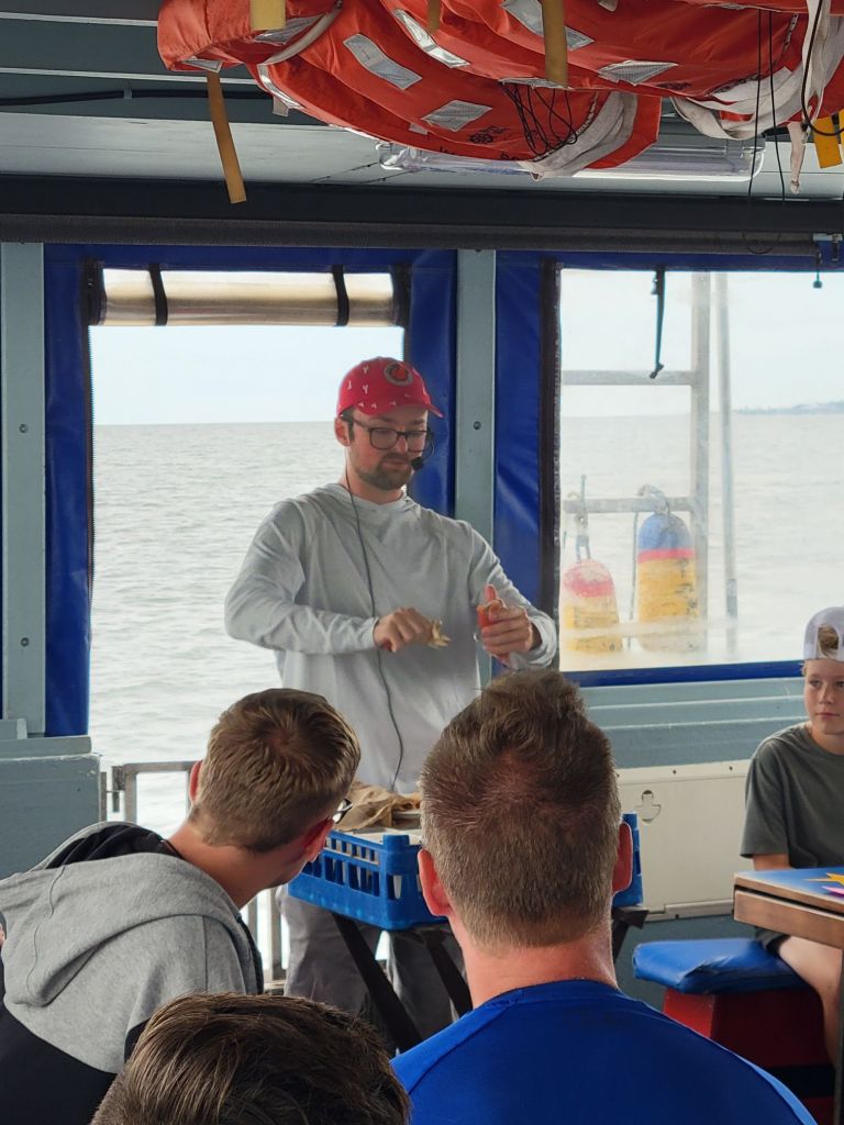
Here, Chris is showing the kids how to put the rubber bands on the lobster’s claws.
After everyone got a turn putting bands on the claws, Chris had the kids kiss the lobster.
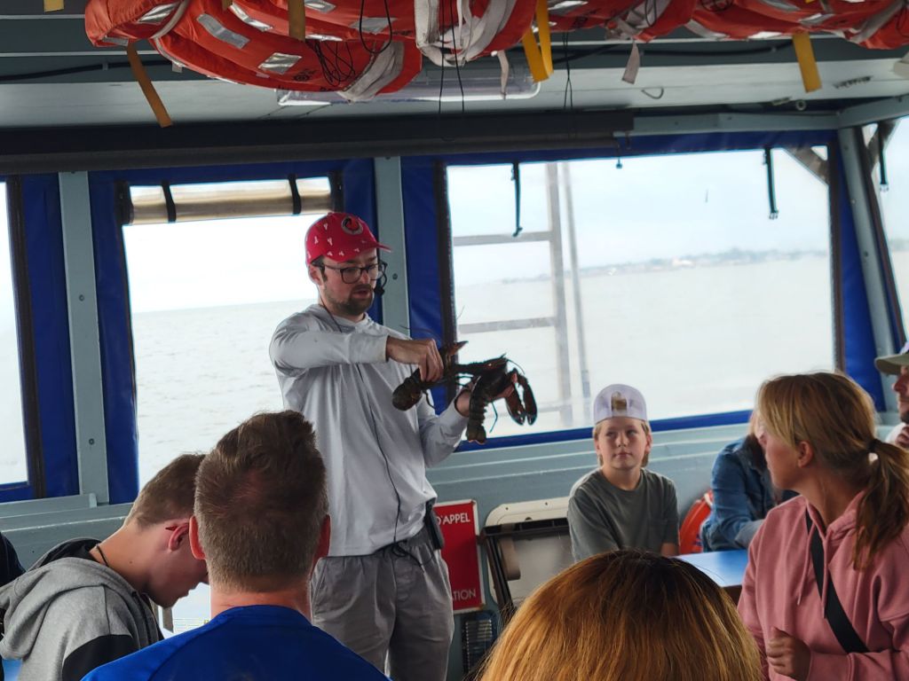
Chris is explaining the difference between a female and male lobster.
Chris is explaining how the lobsters are caught and how to measure them to determine whether they can be kept.
The best part of the whole lecture! How to eat a lobster.
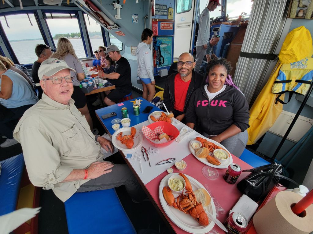
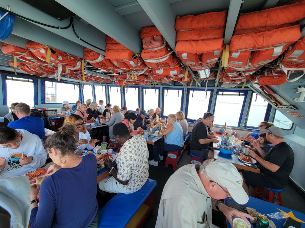
Dinner is served. We shared a table with a lovely couple from Ontario named Damion and Shenique.

Along with our lobsters, we had rolls, potato salad, and coleslaw. We had our choice of water or soda, but there were also alcoholic beverages for sale.

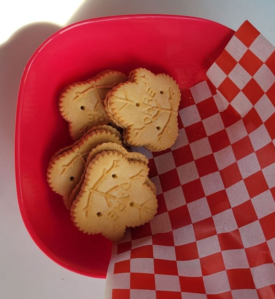
And for dessert, we had maple cookies. Shenique told us that we could buy them at the local grocery store, which we did the next day. They were so yummy!

Since I have been hearing a lot of people speaking French since we arrived here, I asked Shenique about the Canadians who speak French. She said that most of the French speakers are in Quebec, Montreal, and New Brunswick. Some of them speak only French. Some can speak both French and English. Most of the English speakers seemed to speak only English. In other words, a lot like things are in the US between Spanish and English speakers.

Tidal bore, Bore Park, Moncton, NB

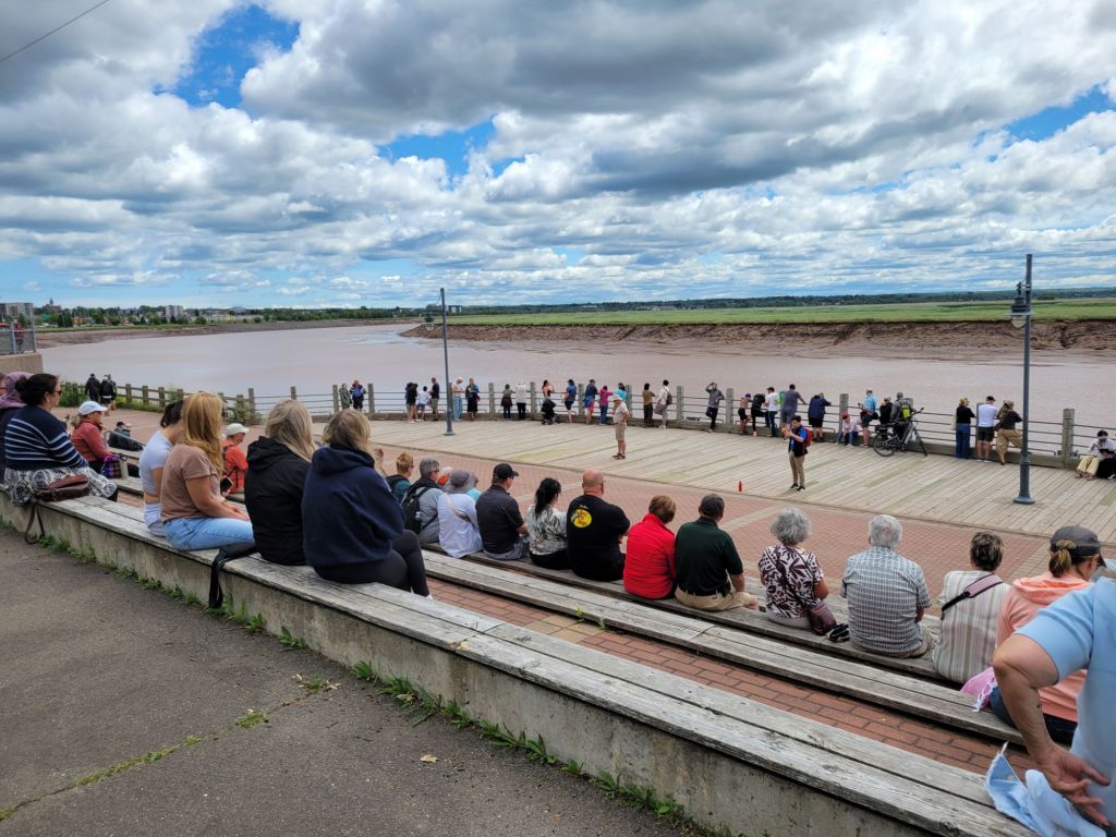
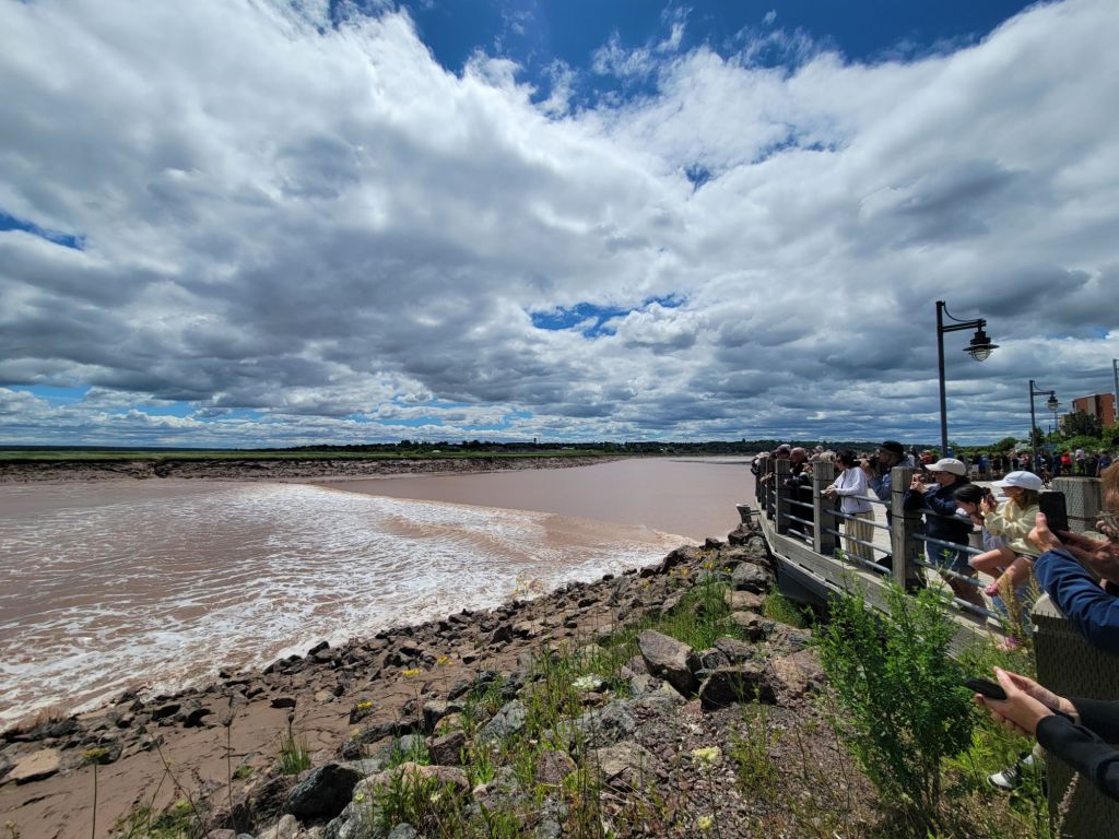
On Friday, we headed into Moncton to view the tidal bore at Bore Park. There is a viewing stand there, and about half an hour before the tidal bore occurs, a guide comes out to talk about it. Unfortunately, we missed his talk because we were running late.

The guide is just finishing his talk as we arrive.

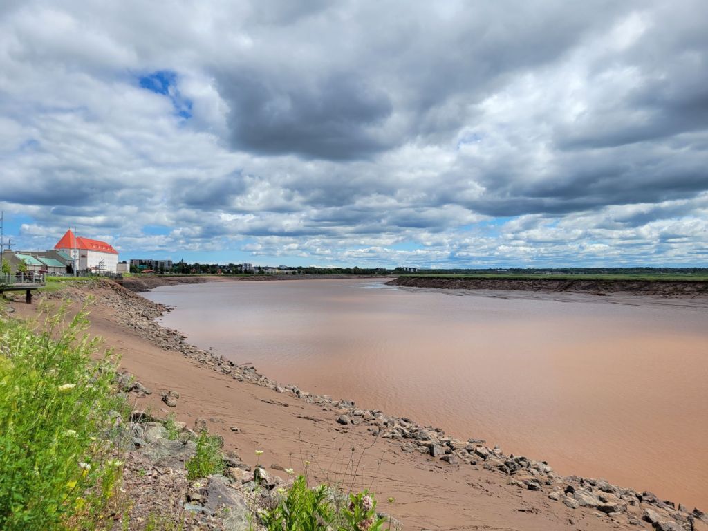
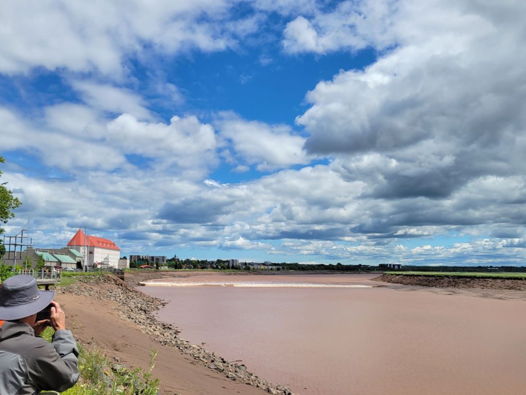
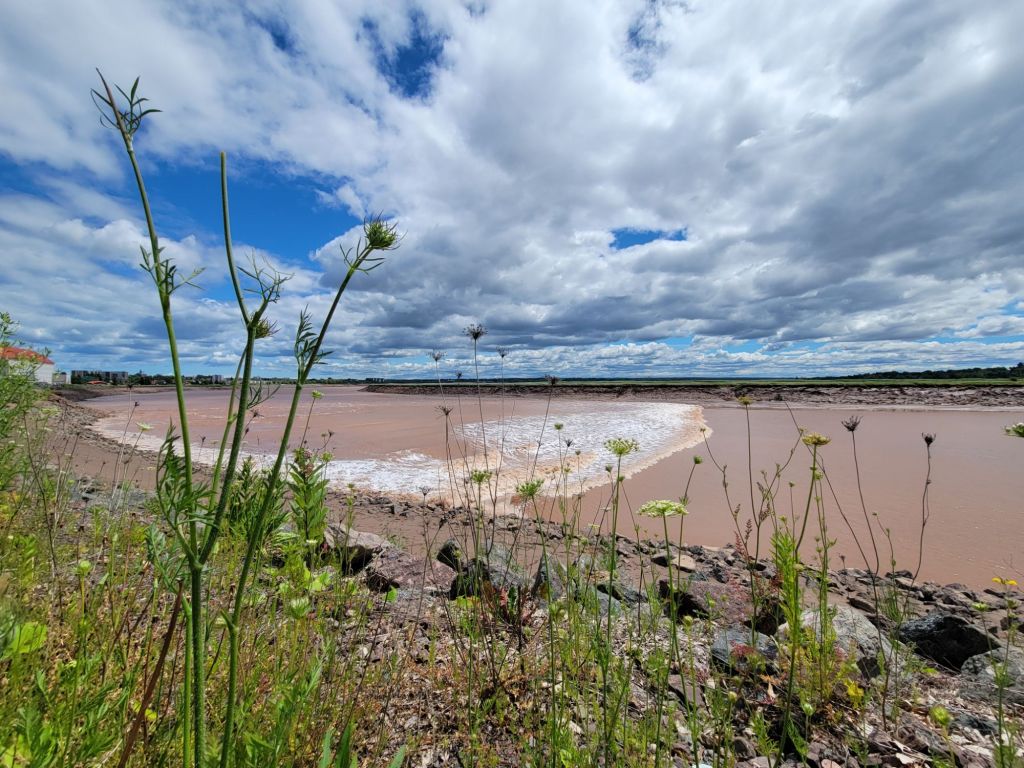
A tidal bore is a wave, in the form of a wall of water, formed by an incoming tide funneling into an estuary.

All is quiet.
Here it comes! If you look carefully, you can see a surfer riding the wave. He’s about a third of the way in from the left side. A few minutes later, he falls off his surf board.

Now we are off to Prince Edward Island for a few days.