Today it was sunny and hot. We hiked the Skyline Trail. It’s a very popular trail in Cape Breton Highlands National Park. It’s so popular that at specific times of the year, you need to make a reservation for a specific time slot if you want to hike it.
The trail itself was fairly boring. There wasn’t much to look at, and it was very sunny and humid.
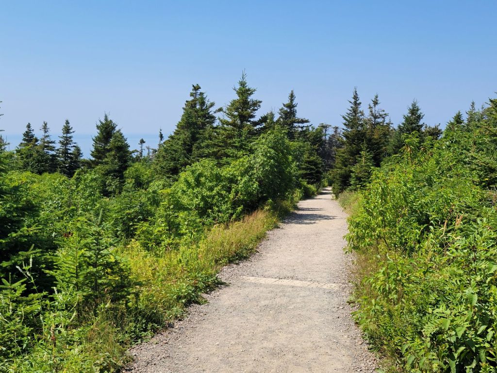
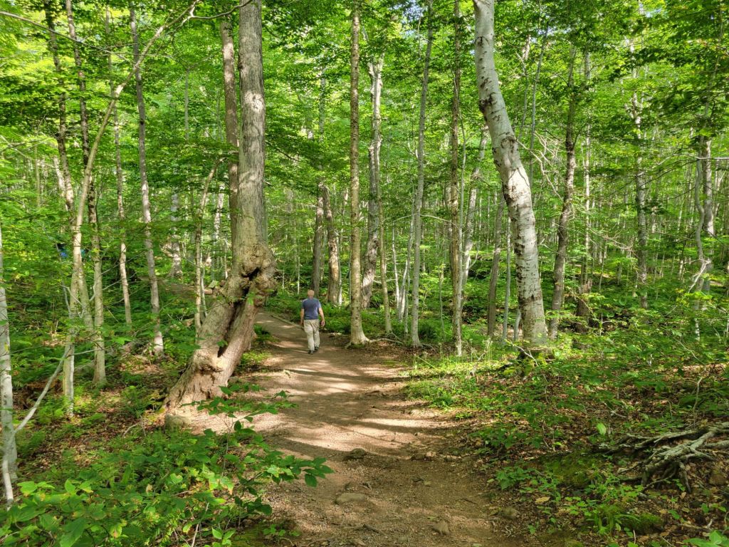
The trail was pretty much 2 miles of this.
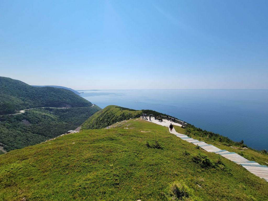
Once we reached the headland, though, we had a beautiful view of the Atlantic Ocean. We even got to see some pilot whales.
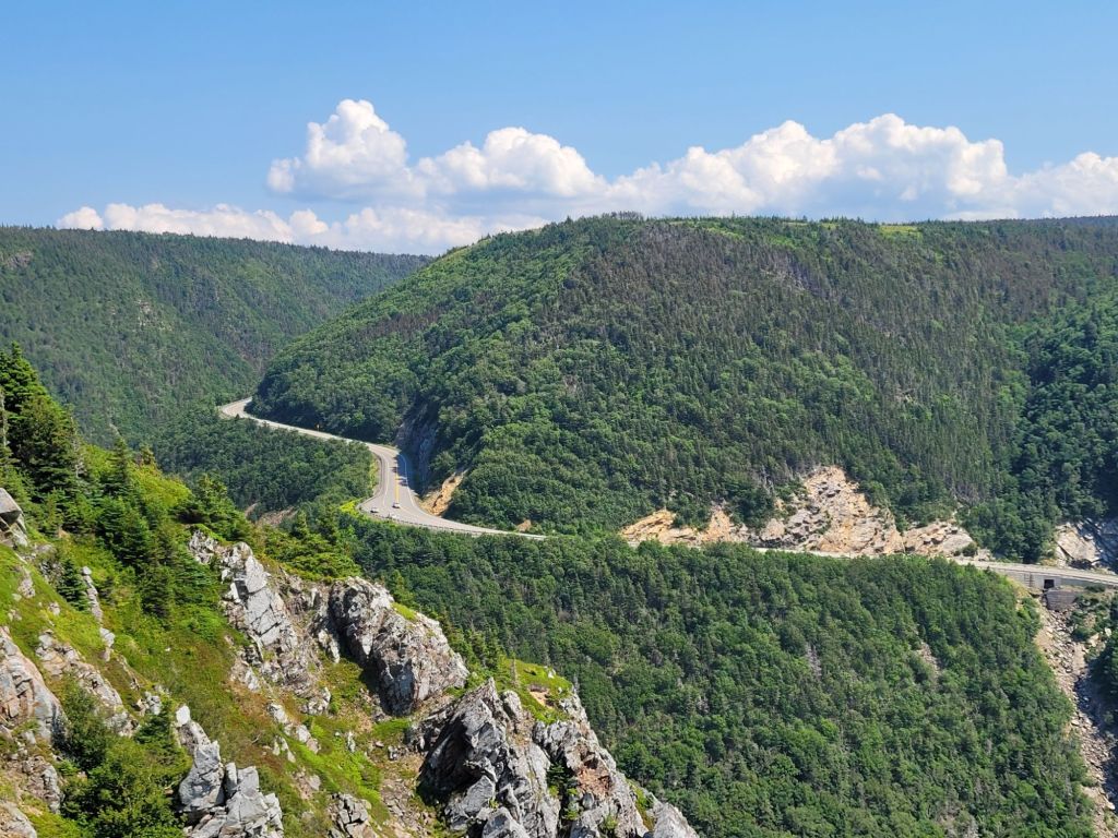
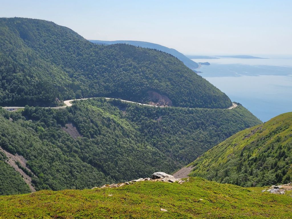
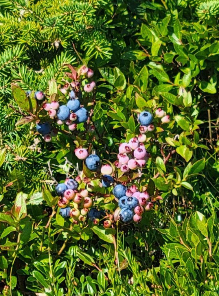
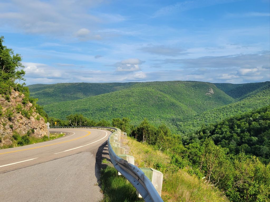
Here, you can see the boardwalk leading down to the viewing platform. There is at least one other platform down the headland a bit further. Looking off to the left. That winding road is the Cabot Trail. Looking to the right.See that mossy green groundcover blanketing the mountain in the photo above this one? That is wild blueberry. Yum!
Greg took a tumble on the way back from the hike, so we headed back to the camper to relax for the rest of the day.
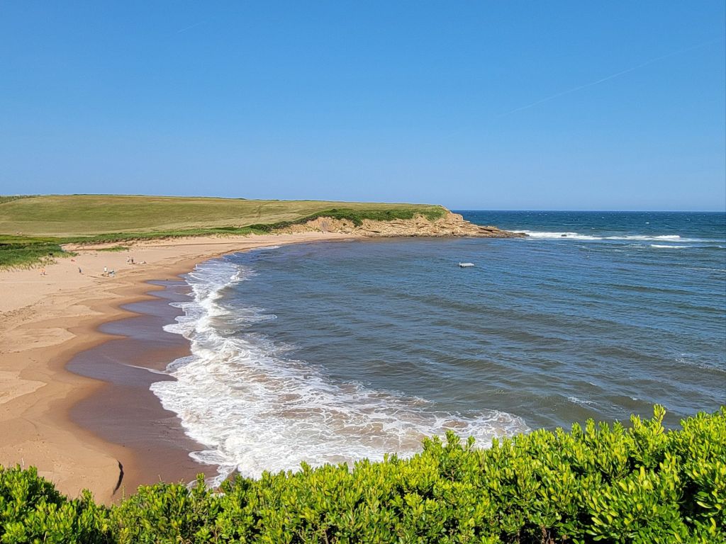
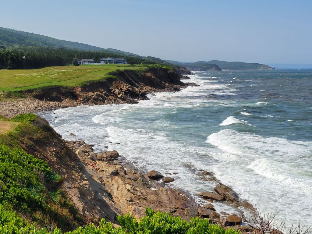
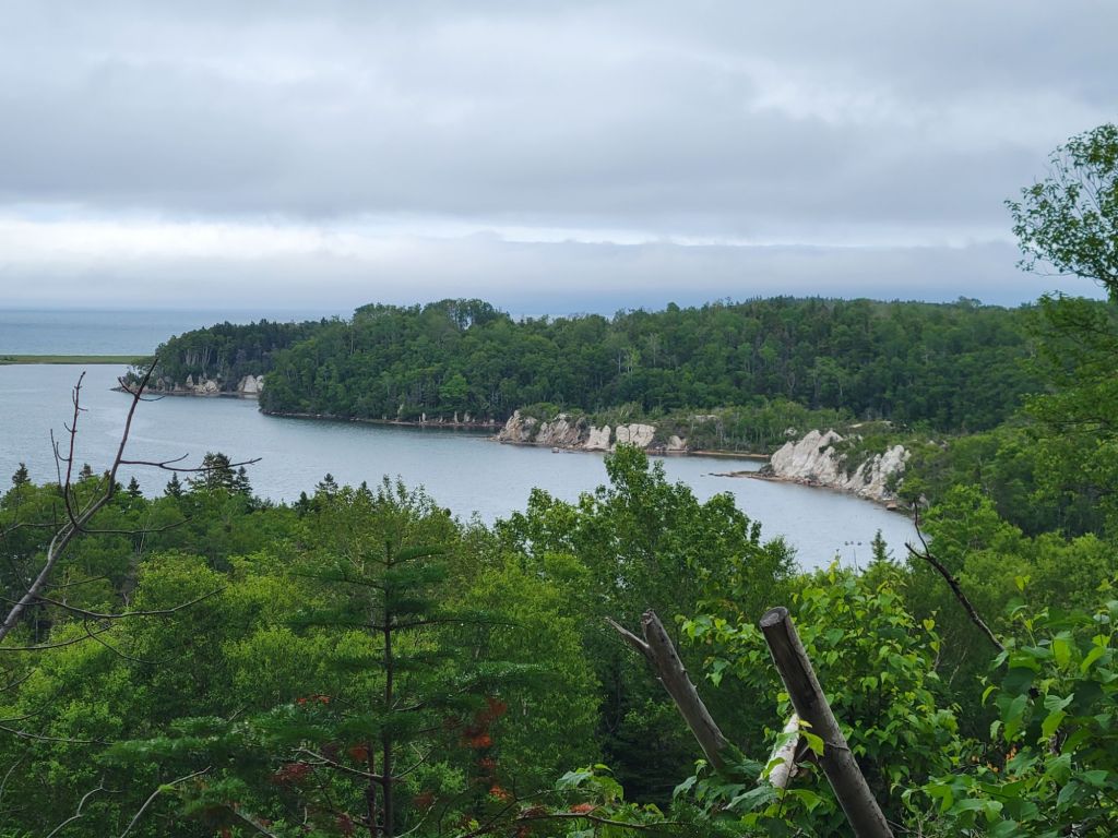
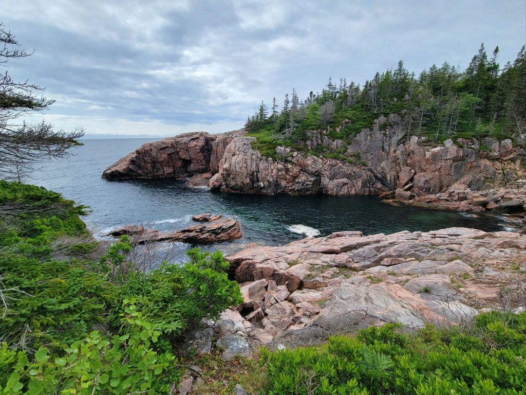
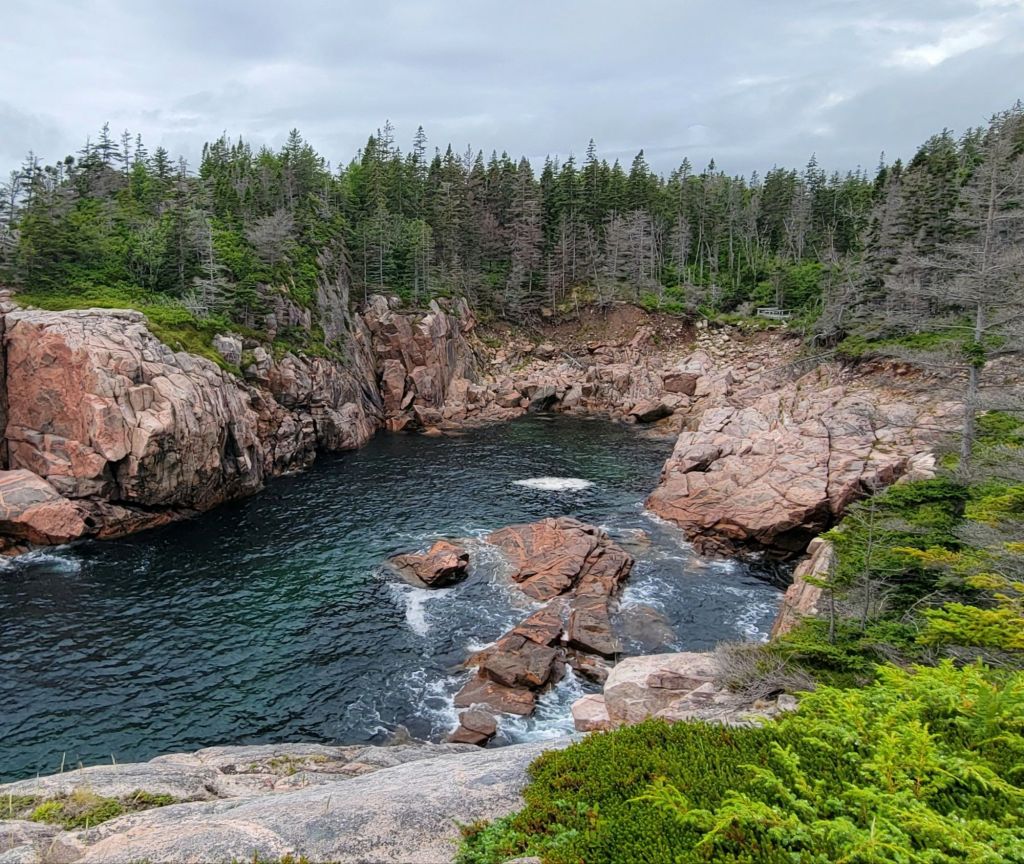
Greg decided that today we would drive to Inverness. Along the way, we stopped at Whale Cove to take some photos.
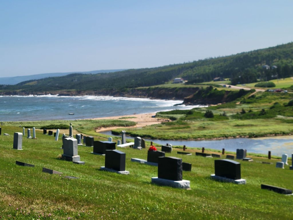
As Greg was taking photos, one of the local residents walked by and struck up a conversation. She told him that if he wanted an even better view of the cove, there was a gravel road just around the bend that led to a cemetery. Although the cemetery was private, the owners didn’t mind visitors.
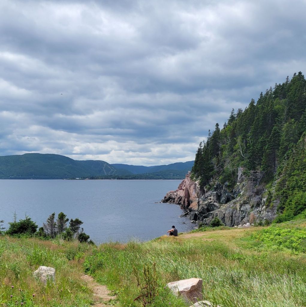
So off we went to check it out. (If you look at the bluff in the first photo above, that’s where we were headed.)
The cemetery
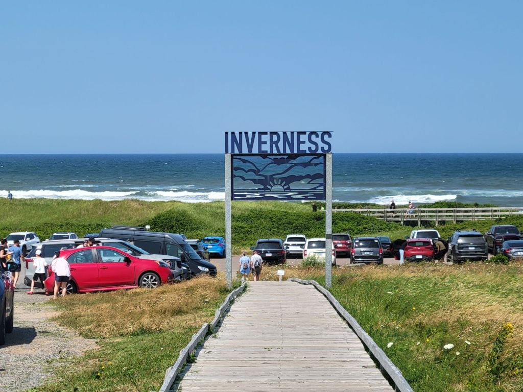
Inverness
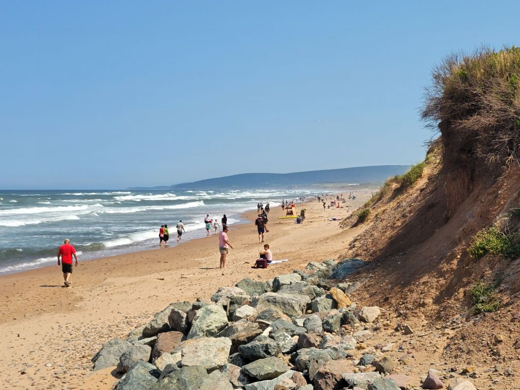
The town of Inverness was bustling with locals and tourists. We headed to the beach to use the facilities and have a look around.
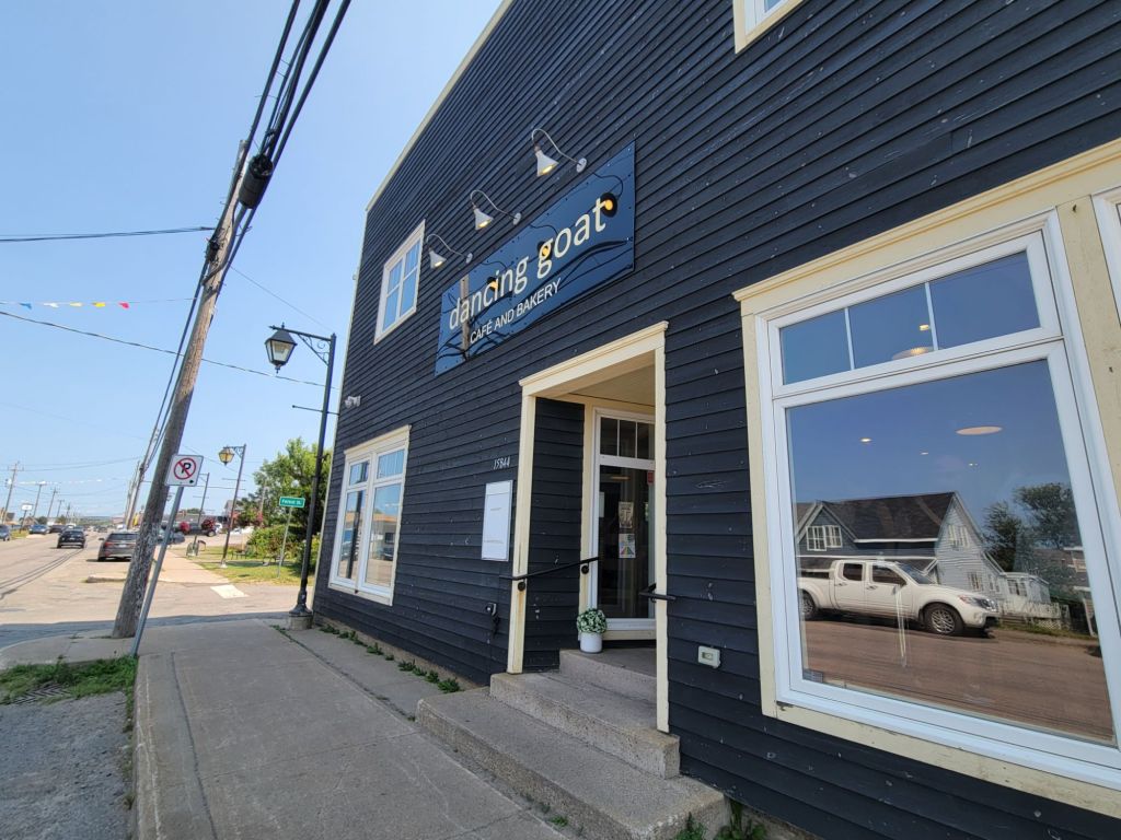
The Dancing Goat
Then we headed to The Dancing Goat for lunch. This restaurant had been recommended to us when we were staying back in Baddeck, so we wanted to try it out.
The restaurant was very different from what I expected. It was a little like a Starbucks if Starbucks also offered sandwiches.
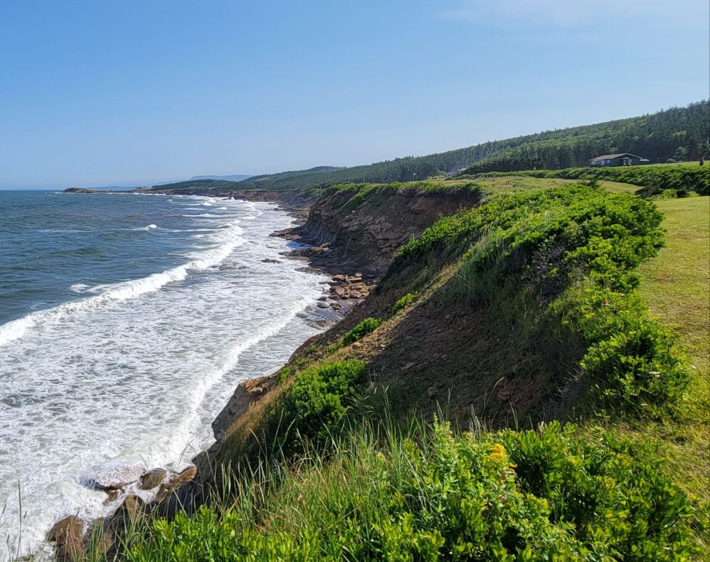
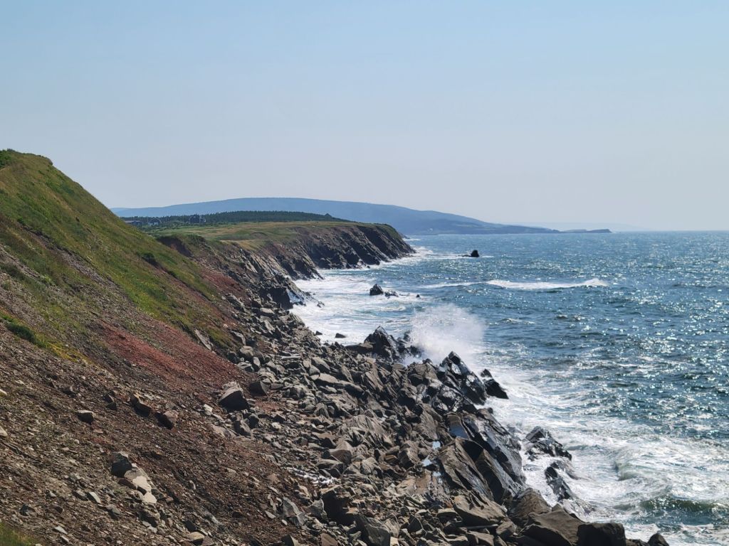
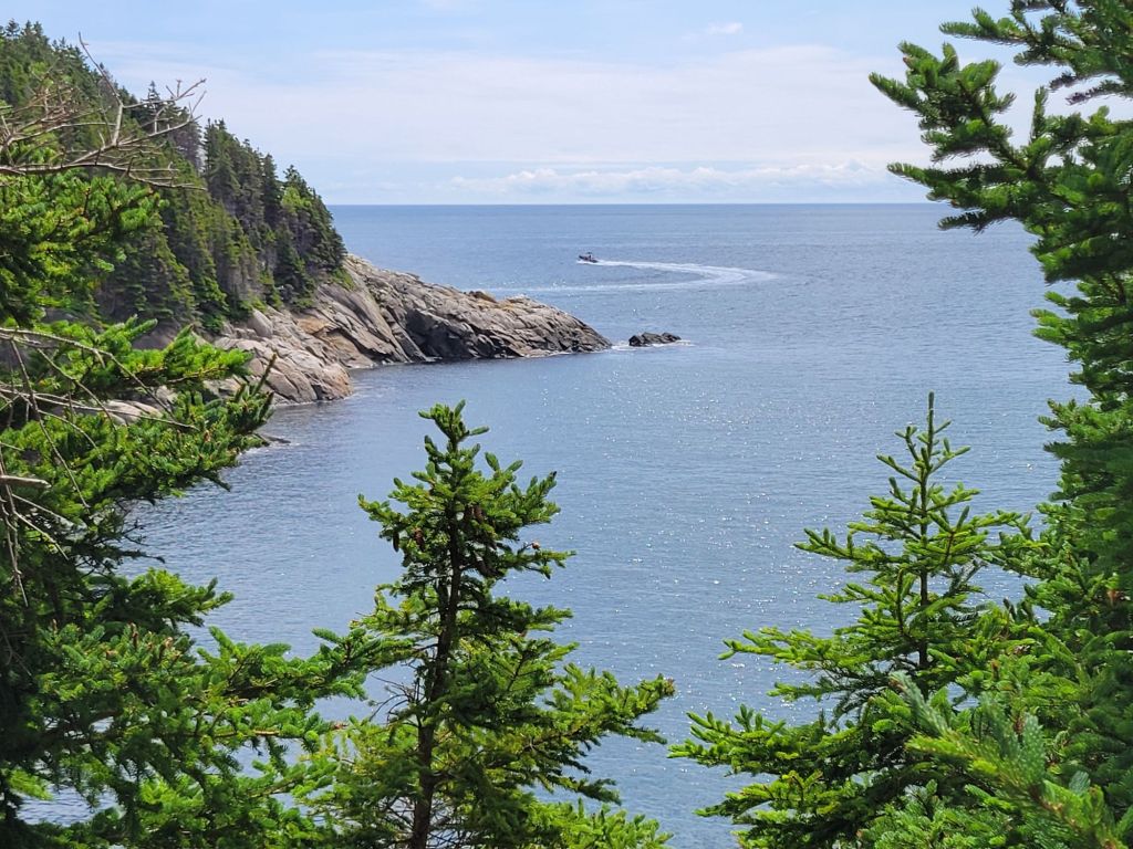
On the way back to Chéticamp, we stopped for more photos.
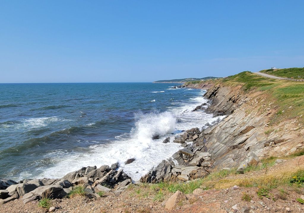
It was a very windy day. The waves were crashing into the shore.
Impressions of Cape Breton
I thought I would share a couple of my impressions about Cape Breton for any readers who might want to visit here someday.
The roads aren’t great. It can be quite a bumpy ride, particularly when towing.
Parking is a hassle. There are few if any public parking lots. Most parking is on the street, and the roads are narrow, particularly for trucks.
Cape Breton and PEI have a very small town, summer vacationer feel to them. At least at this time of year, tourists seem to outnumber the locals. Despite that, the two islands don’t feel touristy in the way that the Jersey Shore does.
When we were staying in Baddeck, all of the road signs were in Gaelic and English. Now that we’re in Chéticamp, all of the signs are in French and English. Also, many of the signs in museums and parks include the Mi’kmaq language.
French seems to be the primary language. Most residents are bilingual, and most of the tourists seem to be French-speaking Canadians. Whenever a park worker or store clerk greets us, they say, “Bonjour. Hello.” I gather that, based on how we respond, they know which language to continue in.
We woke up to a beautiful day. Greg had decided that today we would hike the Middle Head Trail, which starts just past the Keltic Lodge off the Cabot Trail.
If I had only known what I was getting myself in for, I may have refused to go. After walking three miles the day before, my body was not prepared to walk four miles today. I can always tell when I’ve pushed my body too hard. I get weepy and start grinding my teeth. By the end of the day, I was there.
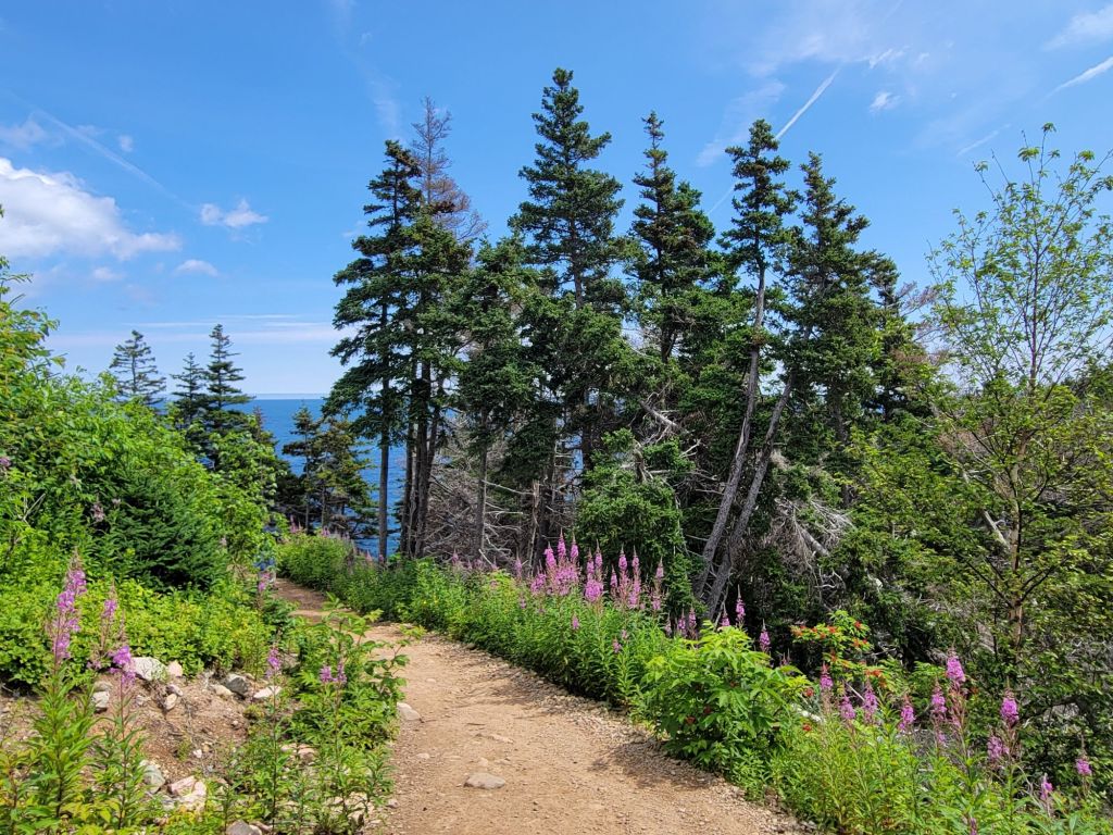
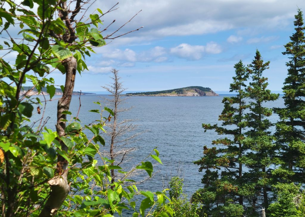
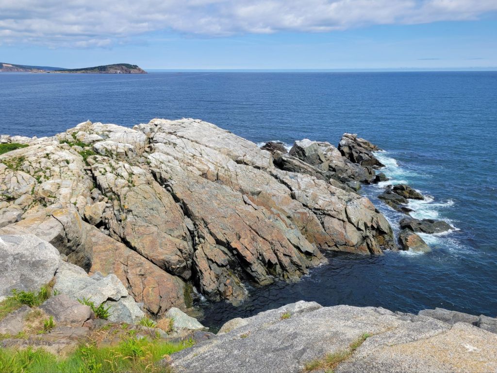
The view from the parking lot.I love the way wildflowers grow alongside the trails.Ingonish Island This photo was taken at the headland. I have other photos, but I’m not particularly impressed by them. It’s impossible to provide a true sense of perspective in a photo.
The photo below is of a Zodiac boat doing some whale watching. We actually did get to see some pilot whales as we were hiking the trail.
I was completely wiped and ready to go back to the camper by the time we finished the hike, but Greg had one more place he wanted to go.
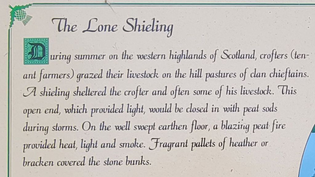
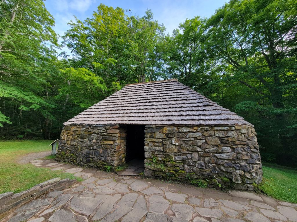
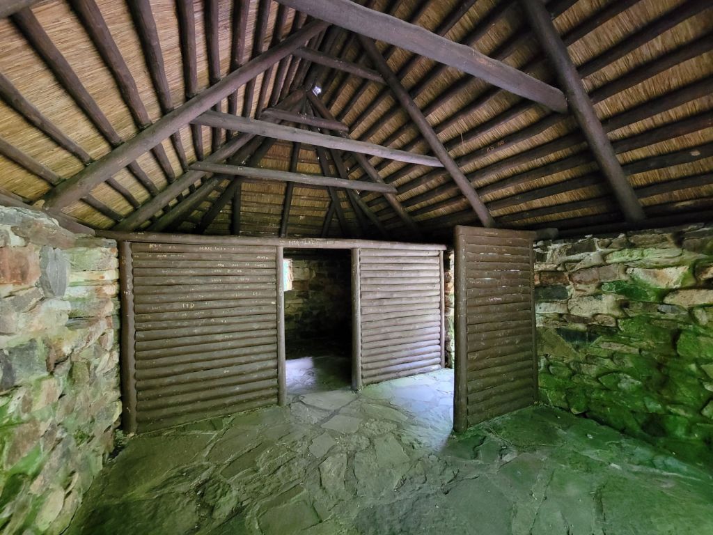
He had read about the Lone Shieling Trail, which was a short hike through a protected old wood forest.
But first we had to get there. Yikes! Between the hairpin turns and the 8% grades, I was terrified. Greg told me that this was the route we would take with the trailer in the morning. I may have had a teeny weenie meltdown at that point.
It was a beautiful drive through the mountains, but I did not particularly relish the idea of dragging 8,000 lb of trailer with us the next day. (Luckily for me, Greg told me later that day that he had looked at a terrain version of the map, which showed quite a few sharp ups and downs that we would have to drive. That revelation was enough to convince him to take a different route to our next destination. About an hour longer, but far less nerve-wracking. Yay!)
The hike through the old wood forest was lovely, but buggy.
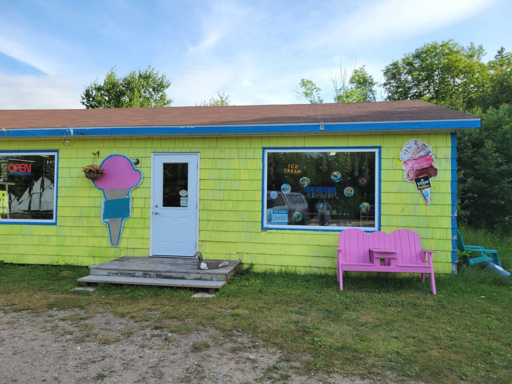
After the hike, I told Greg that he owed me some ice cream for putting my nerves through that driving experience.
We tried eating our ice cream outside, but the bugs were relentless. On the drive back to the campground, we were smashing gnats and mosquitoes against the windshield and windows the entire way.
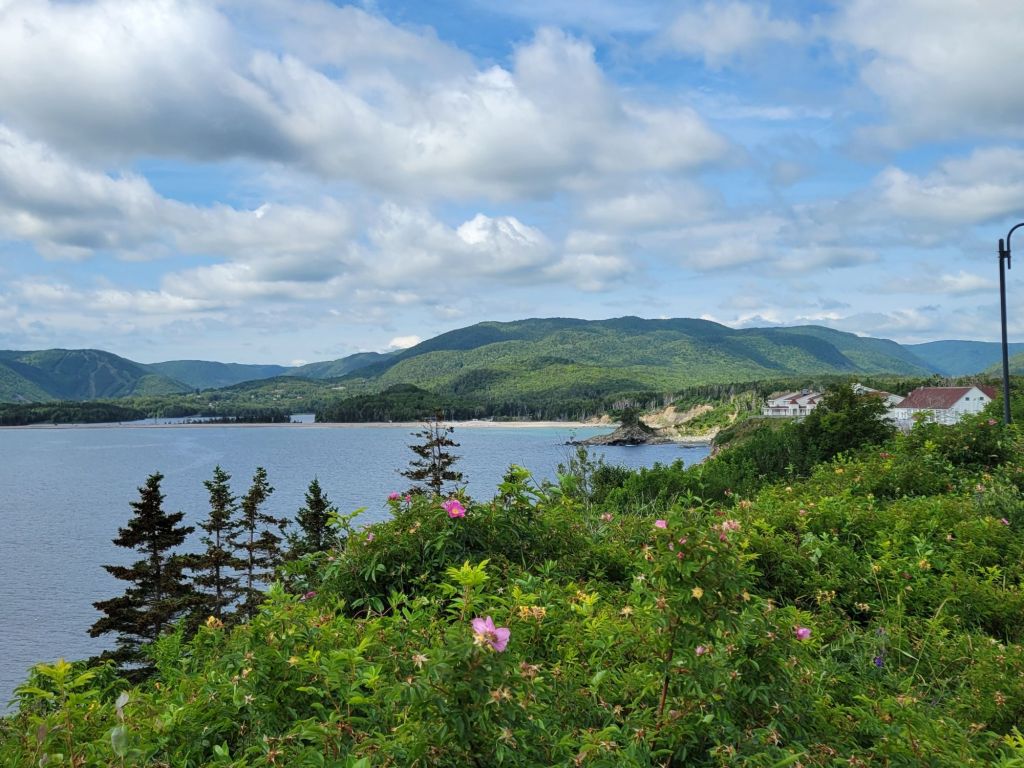
First, this is a photo taken from our campground. We are perched on top of a cliff.
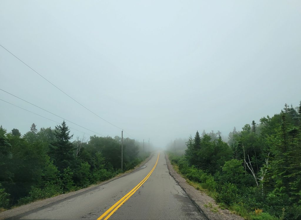
We are currently at the northern end of Cape Breton. I feel as if the clouds tend to sit on top of the mountains here, which makes things very foggy and misty.
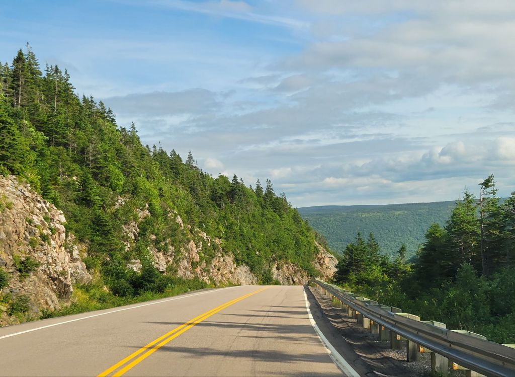
This was the scene during part of our drive this morning. It was even worse yesterday when we were pulling the camper. Greg’s nerves were completely shot by the time we arrived at the campground.
Since the weather forecast was for rain in the afternoon, we got going early in the morning to take advantage of the drier conditions. It was still dreary, but at least it wasn’t wet.
Greg had picked out some trails for us to hike along the Cabot Trail. But first we took a detour down the coastal road, driving through tiny Neil’s Harbour and stopping to take a photo of the lighthouse.
The lighthouse was unattractive, so I’m not posting a picture of it.
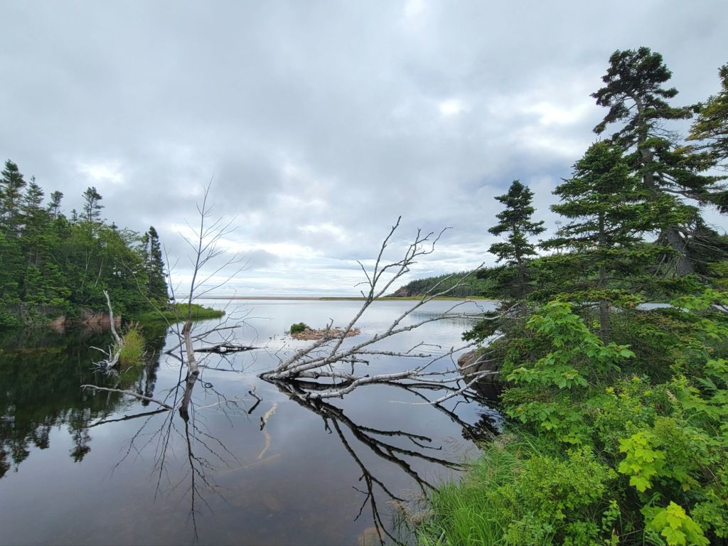
We stopped at this pretty little pond (below) in order to use the porta potties.
Then we stopped at Jack Pine to hike the trails.
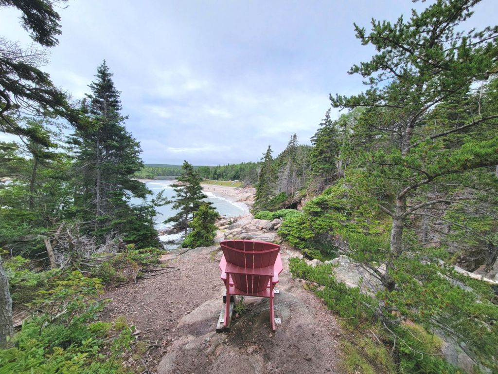
I love the way the Canadian parks situate these chairs at scenic overlooks
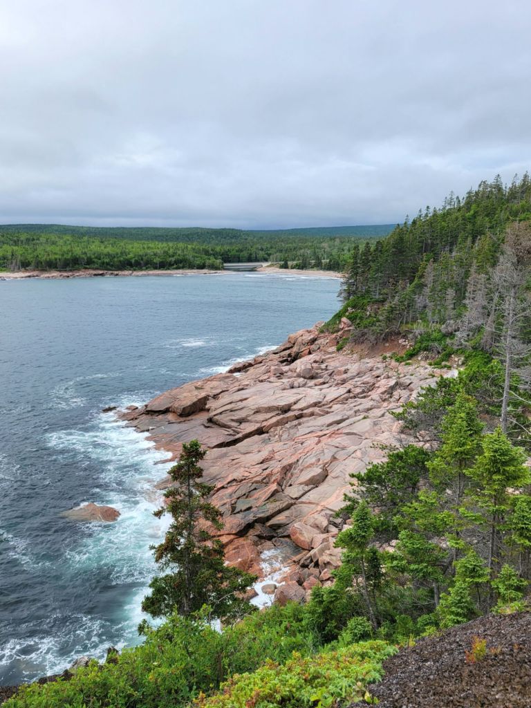
Some photos of the hike.
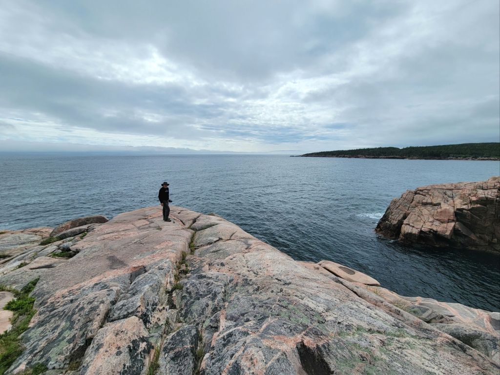
If you look closely, you can see a couple sitting on the rocks.
Then we stopped at the beach to take a picture.
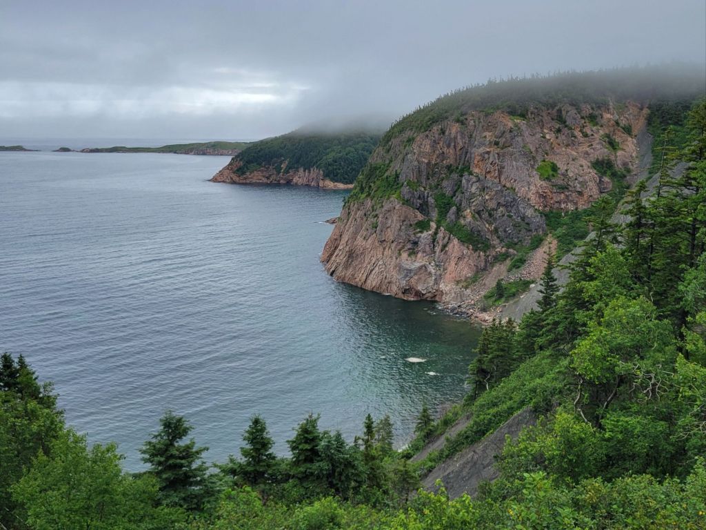
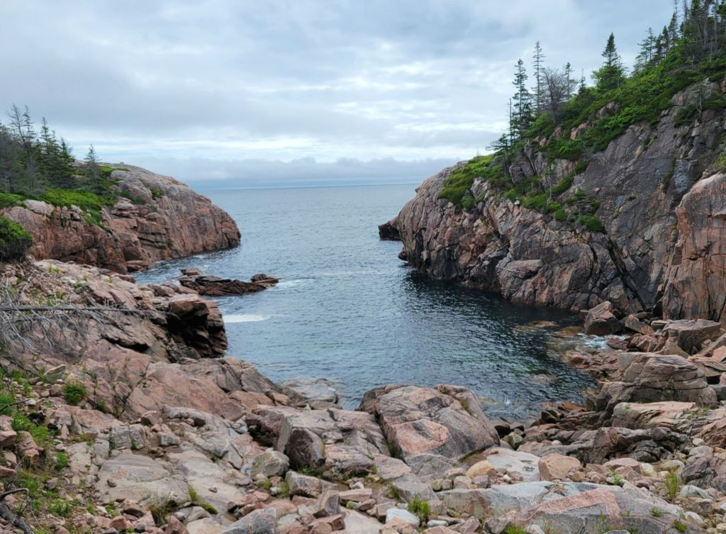
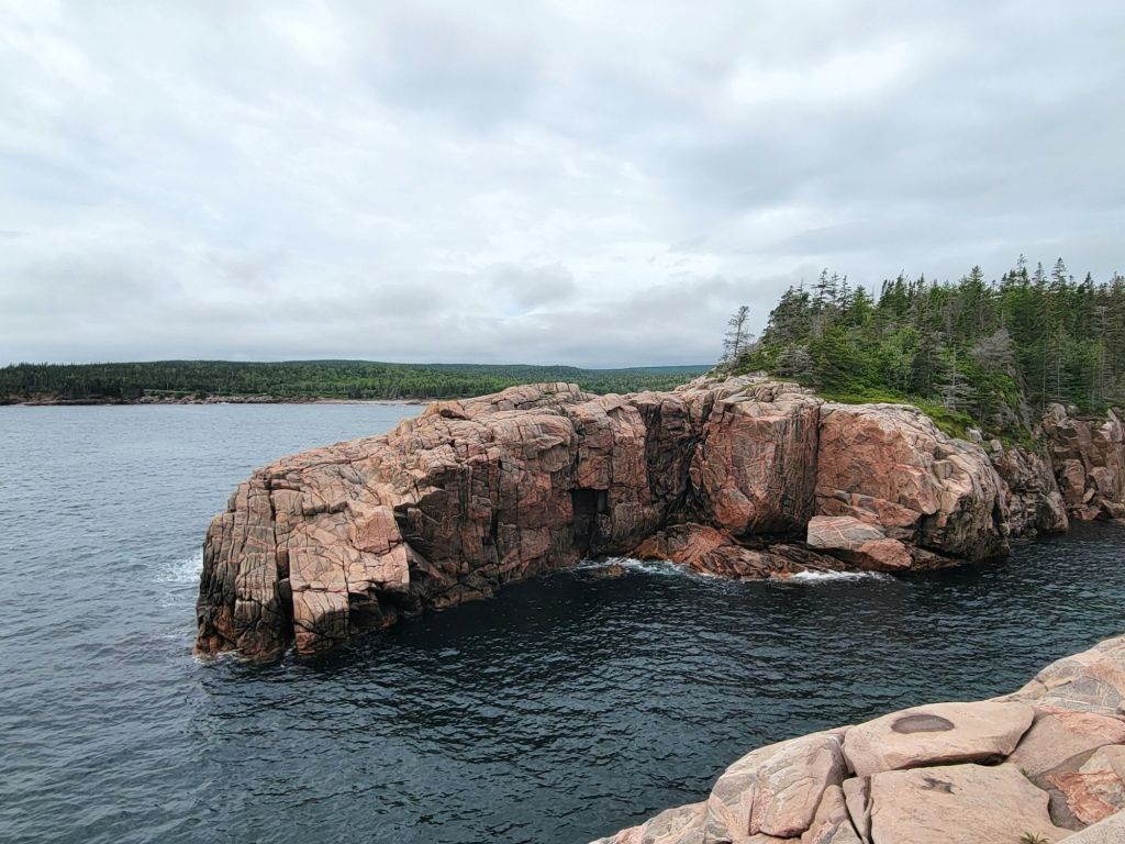
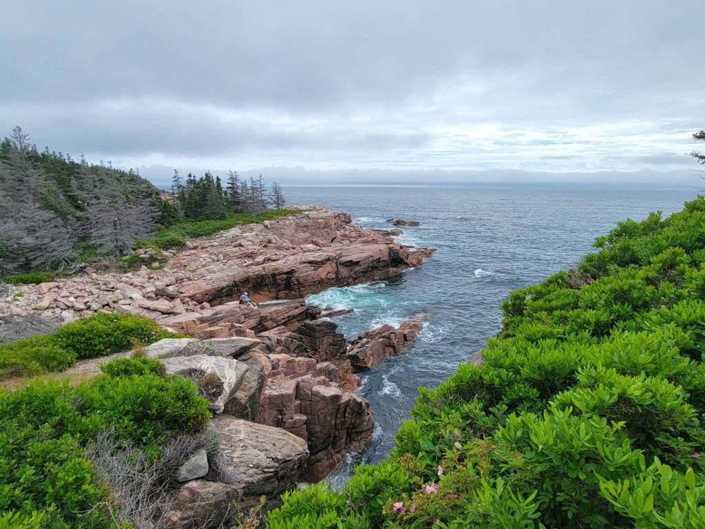
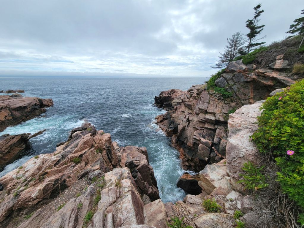
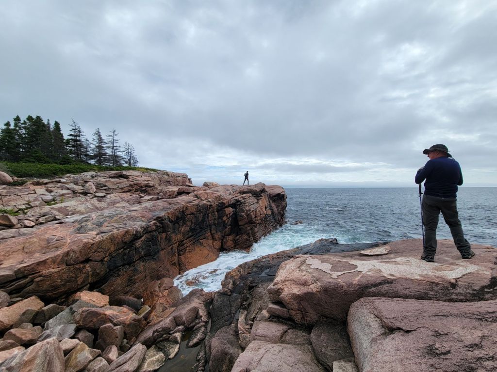
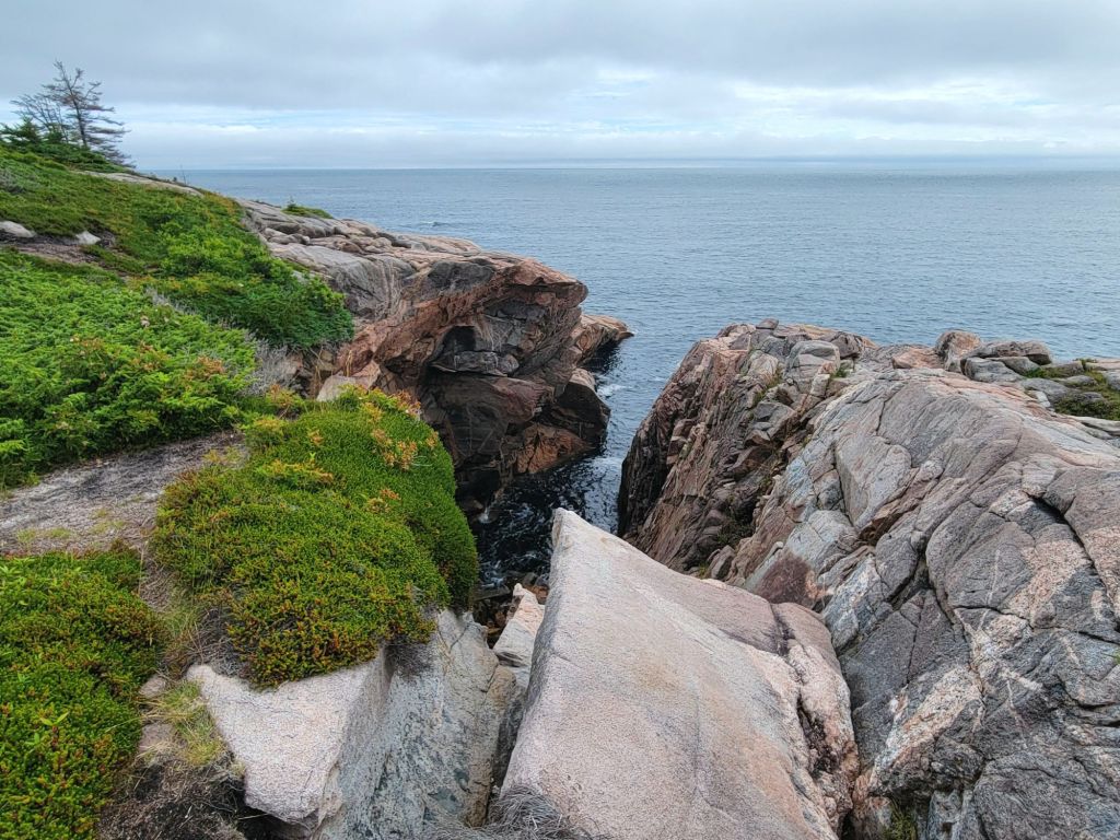
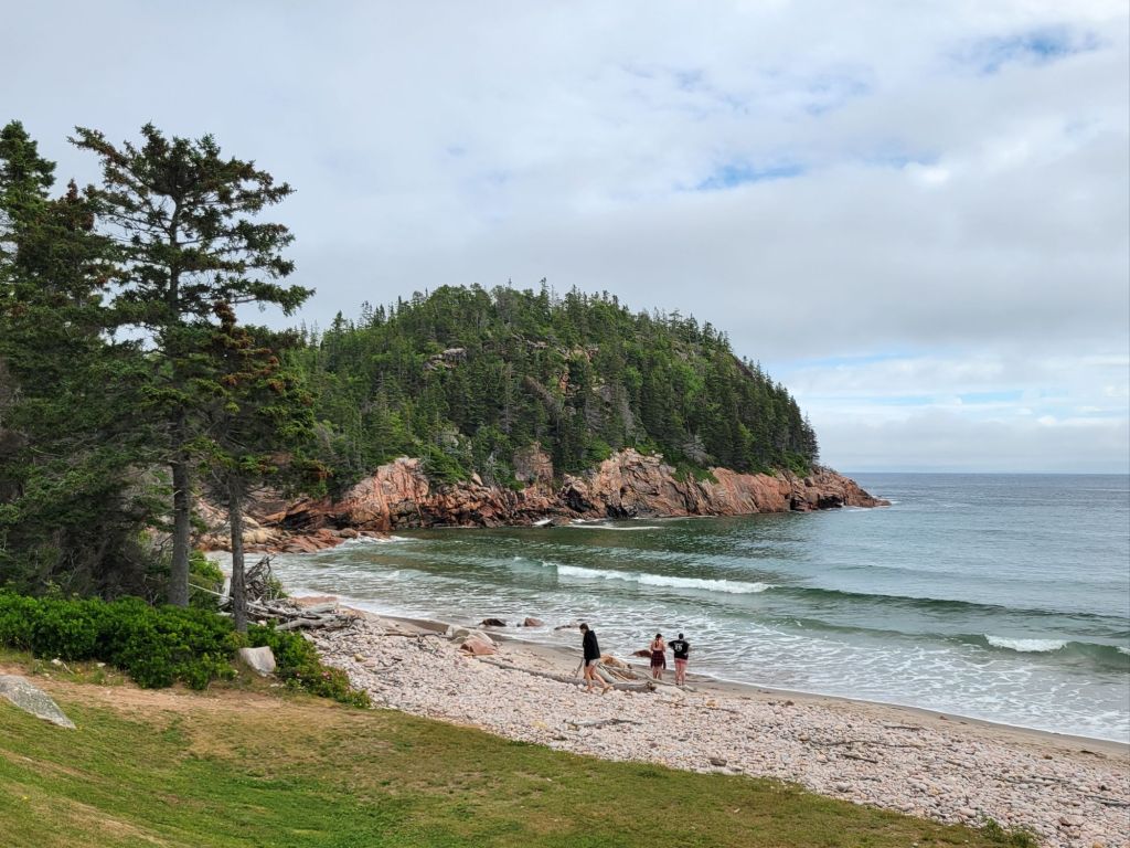
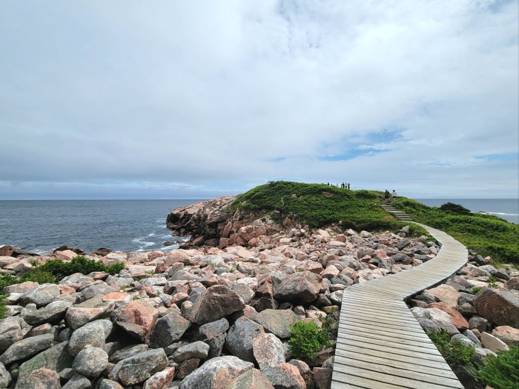
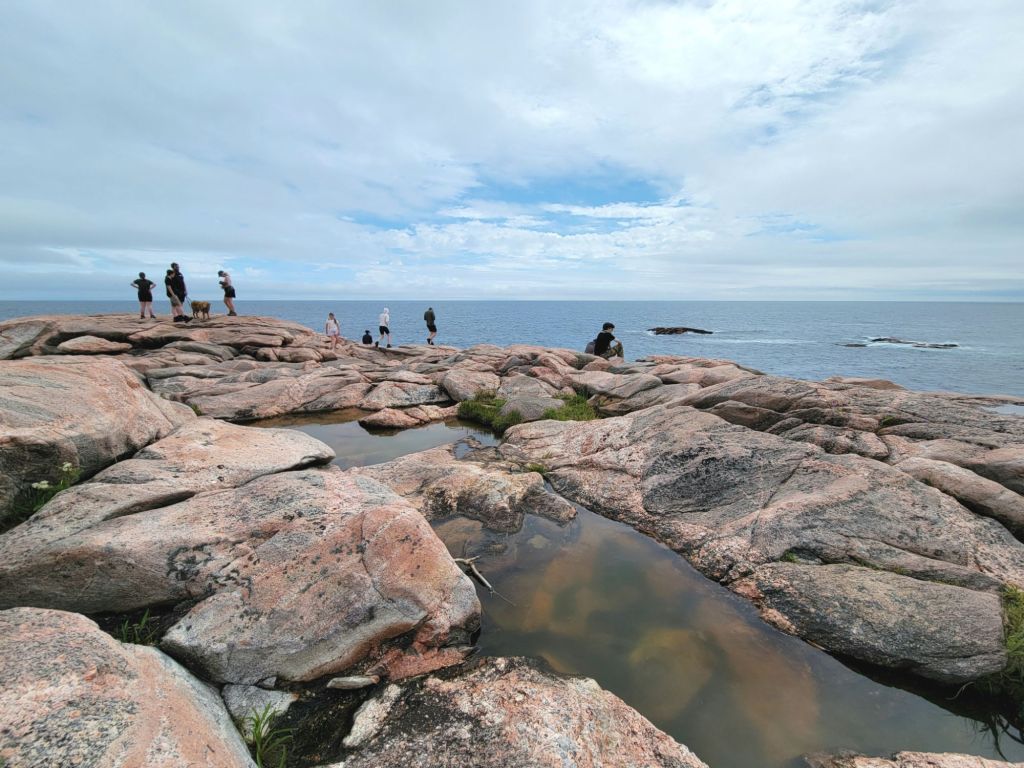
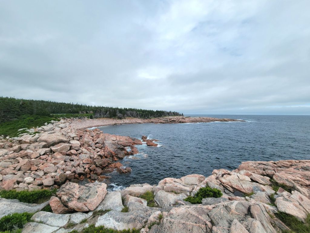
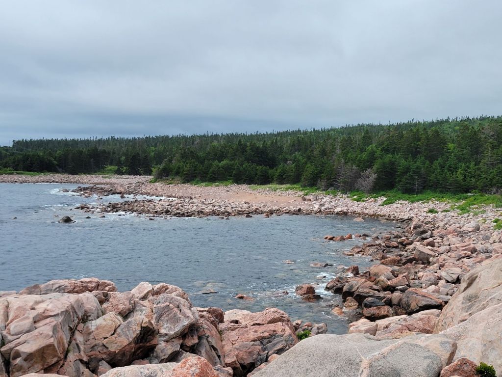
Next we stopped at Green Cove, where we got to see some seals hanging out by the rocks. I’m not going to post a picture of the seals because all you would see is a black dot on the water. But here are some photos of the cove itself.
Those small rocks in the water off to the right are where the seals were hanging out.
At this point we headed back to the camper for a late lunch and a rest.
I apologize to my Scottish Gaelic speakers for mangling the spelling of the above heading, but I’m not sure how to find Gaelic letters on my phone.
Anyway, today we visited a Scottish living history museum. The Scots were the first Europeans to settle in Cape Breton. They were pushed out of their native Highlands by the British, who imposed high rents and took over their land for sheep farming.
The Scots brought their Gaelic language and culture to Cape Breton, and it has thrived here ever since.
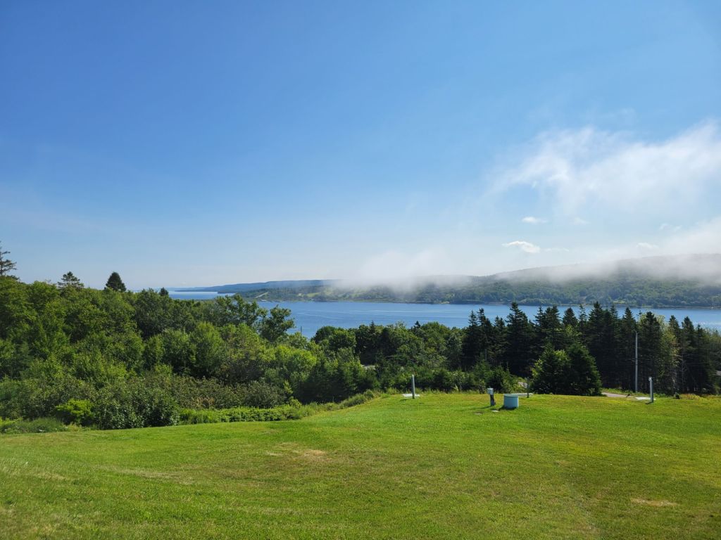
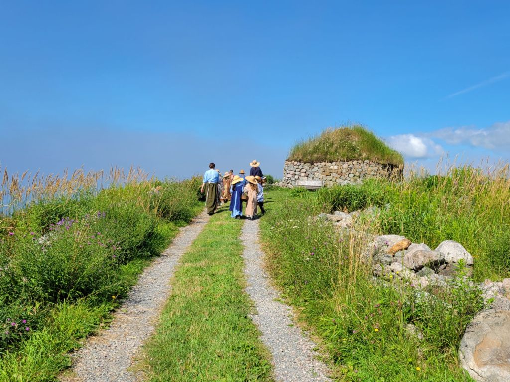
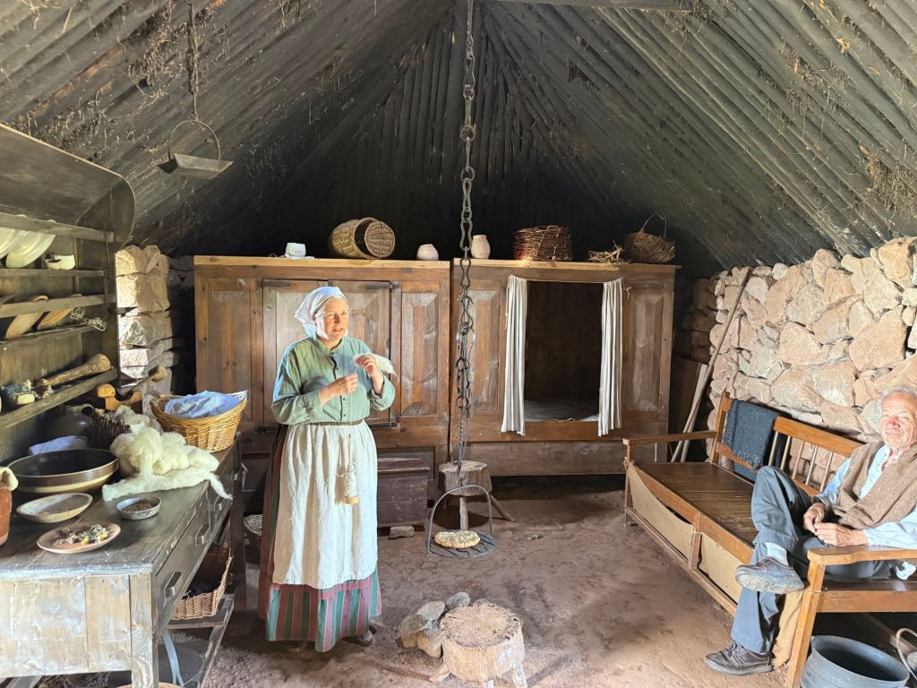
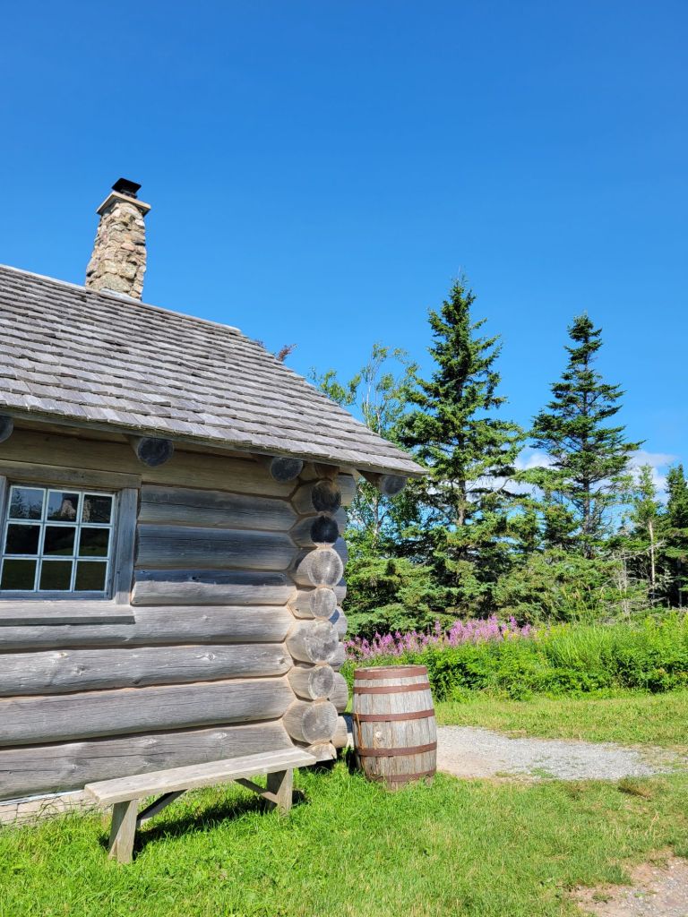
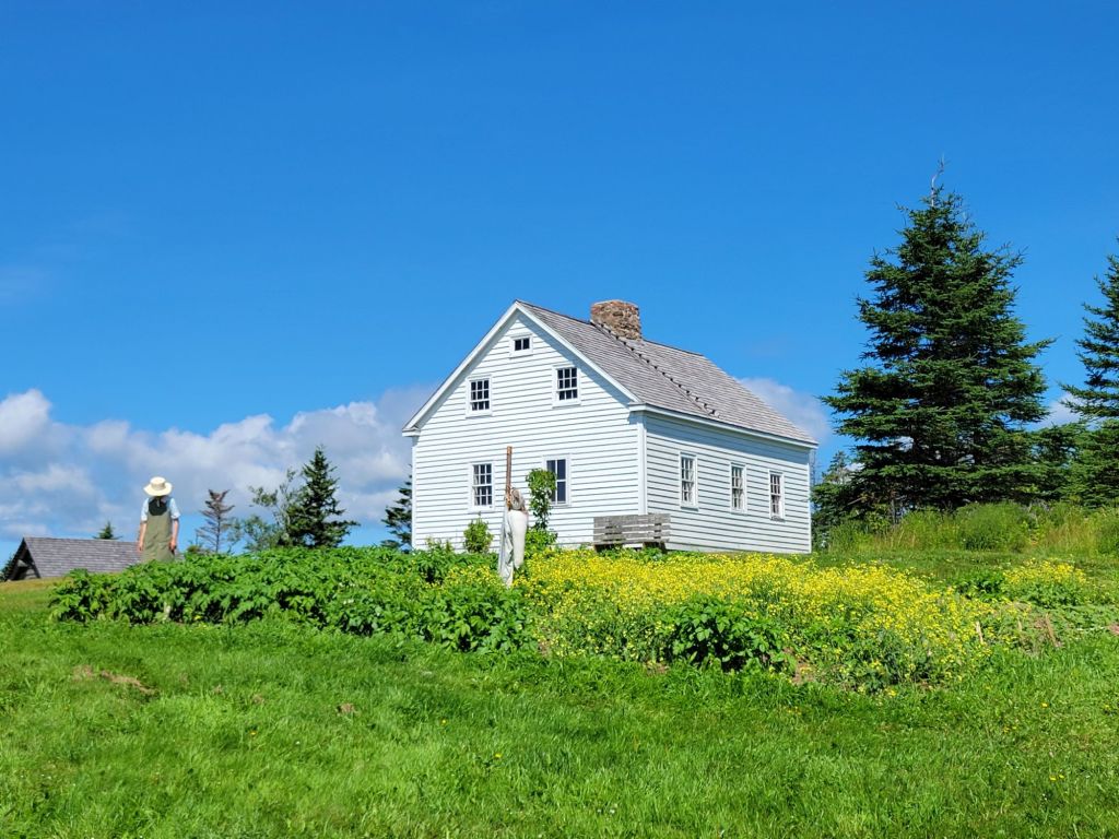
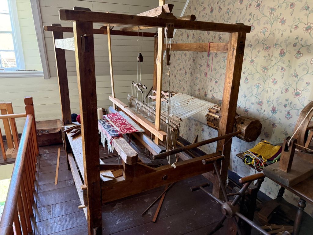
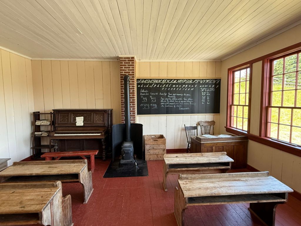
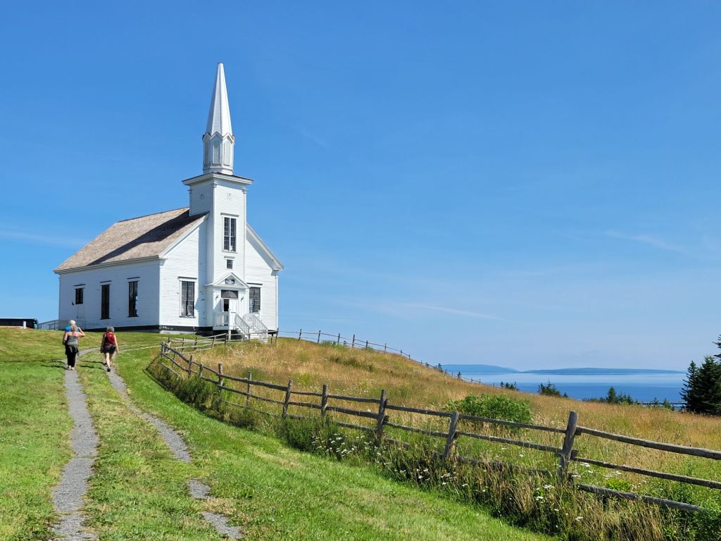
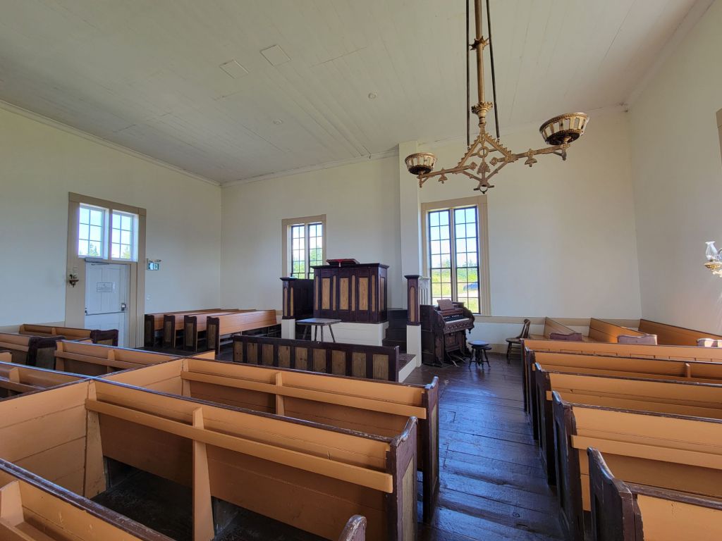
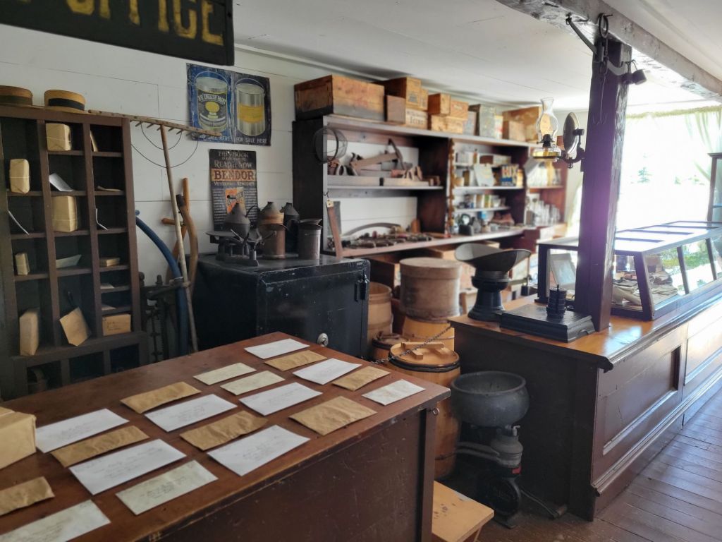
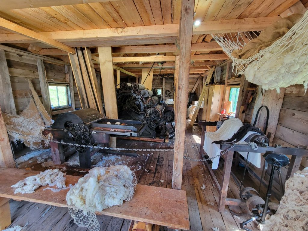
The living history museum sits high on a hill overlooking Bra D’Or Lake. The building with the grassy roof represents the kind of home that the Scottish would have lived in in Scotland in the late 1700s. As you can see, there were also folks dressed up in period costumes.The interior of the stone house above.The log cabin was the first type of house that the Scots built after arriving on Cape Breton. They were primarily farmers, growing many of the same crops that they had grown in Scotland, such as potatoes.As time went on, they were able to build a more substantial home.It seems like every house had a loom on the second floor for weaving. Even the men helped when it came time to soften the wool. They soaked it in urine, sat at a table, and sang Gaelic songs while pounding the wool cloth rhythmically on the table.The school house. This must have been after the government required them to teach English in the schools. Speaking Gaelic was frowned upon by then.Malagawatch Church, built in 1874. Most of the Scots were either Catholic or Presbyterian. This was a Presbyterian church.The interior of the church The general store and post office Here is where they did the wool carding.
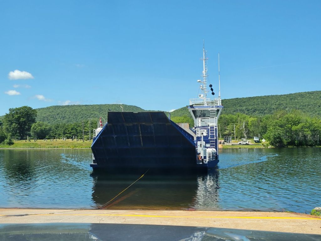
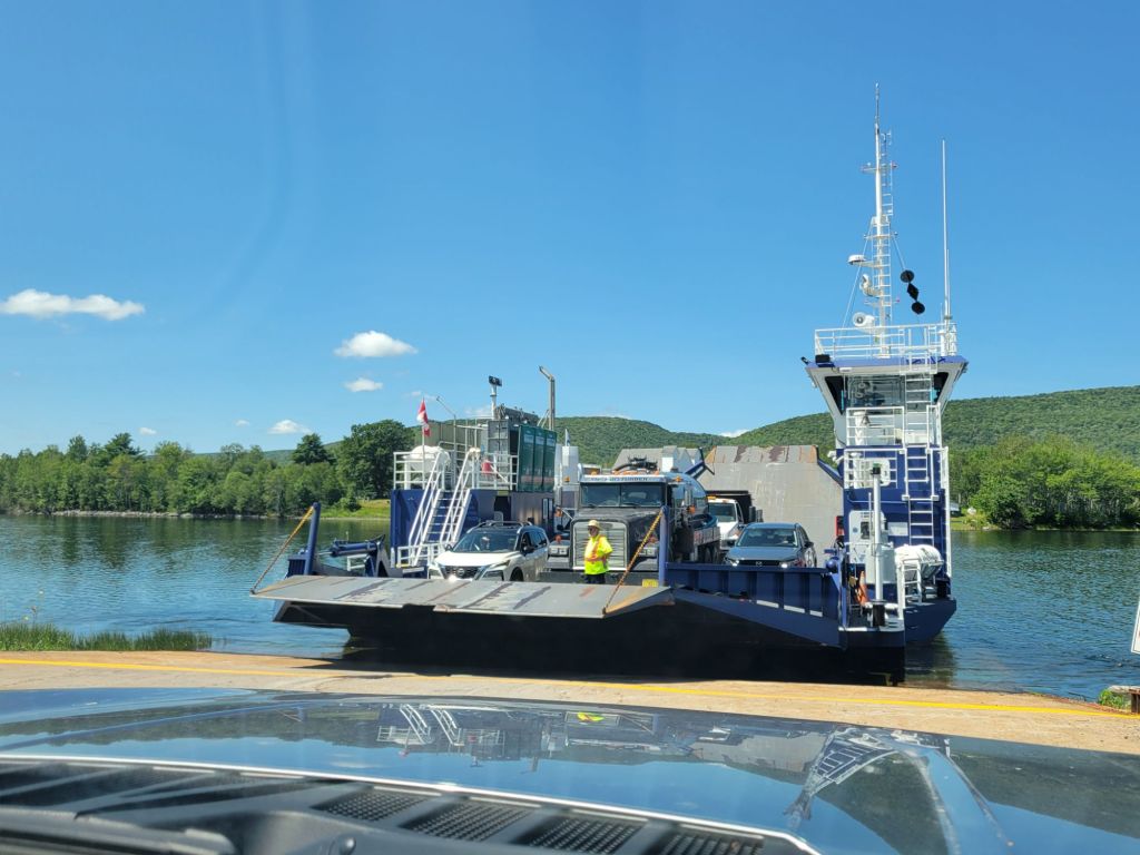
The ferry…again!
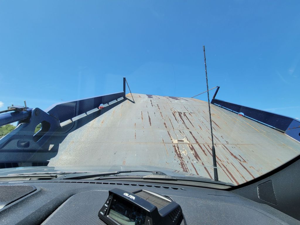
We took another ferry back to the Cabot Trail. This time we were first in line.
Neither of us had noticed the guide rope the first time we had done this.Our view while on the ferry crossing to the other side
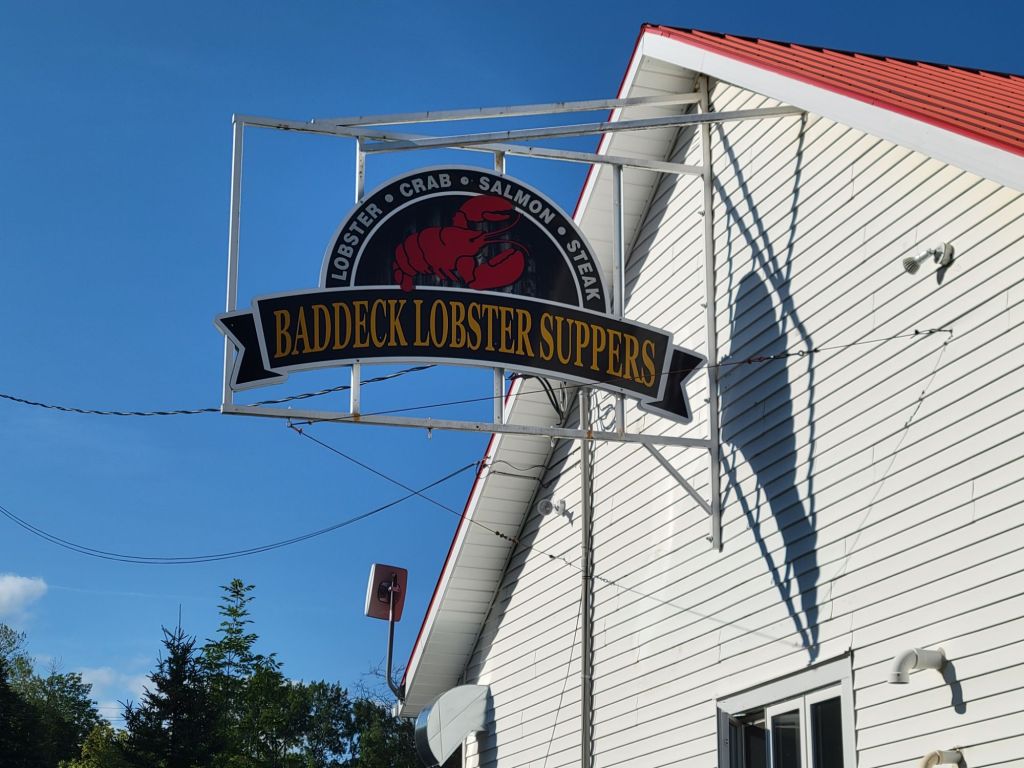
Lobster!
After arriving back at the camper, we both took showers. The power had been out when we woke up in the morning, including the water. Greg had to go out and buy coffee for breakfast. Apparently, someone down the road had run into a pole.
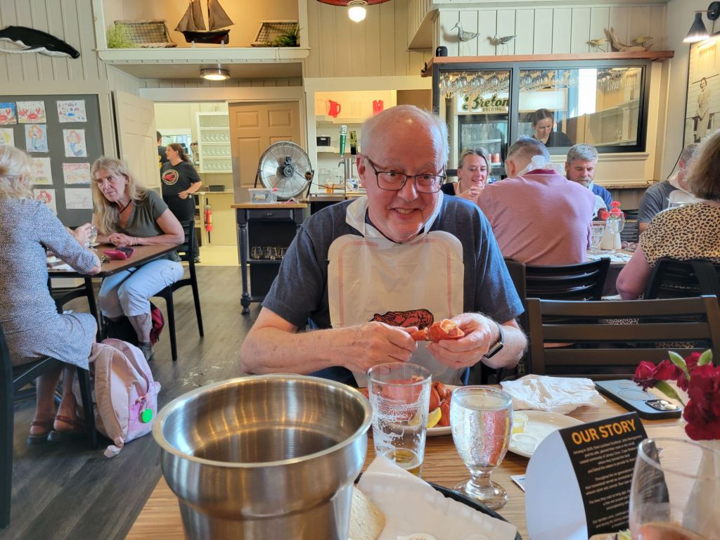
After getting cleaned up, we headed off for a much anticipated lobster dinner.
Seriously, you can never have too much lobster. This lobster dinner reminded me so much of my father when he used to cook lobsters for us at the Jersey Shore. They were so tender and tasted so good with melted butter.
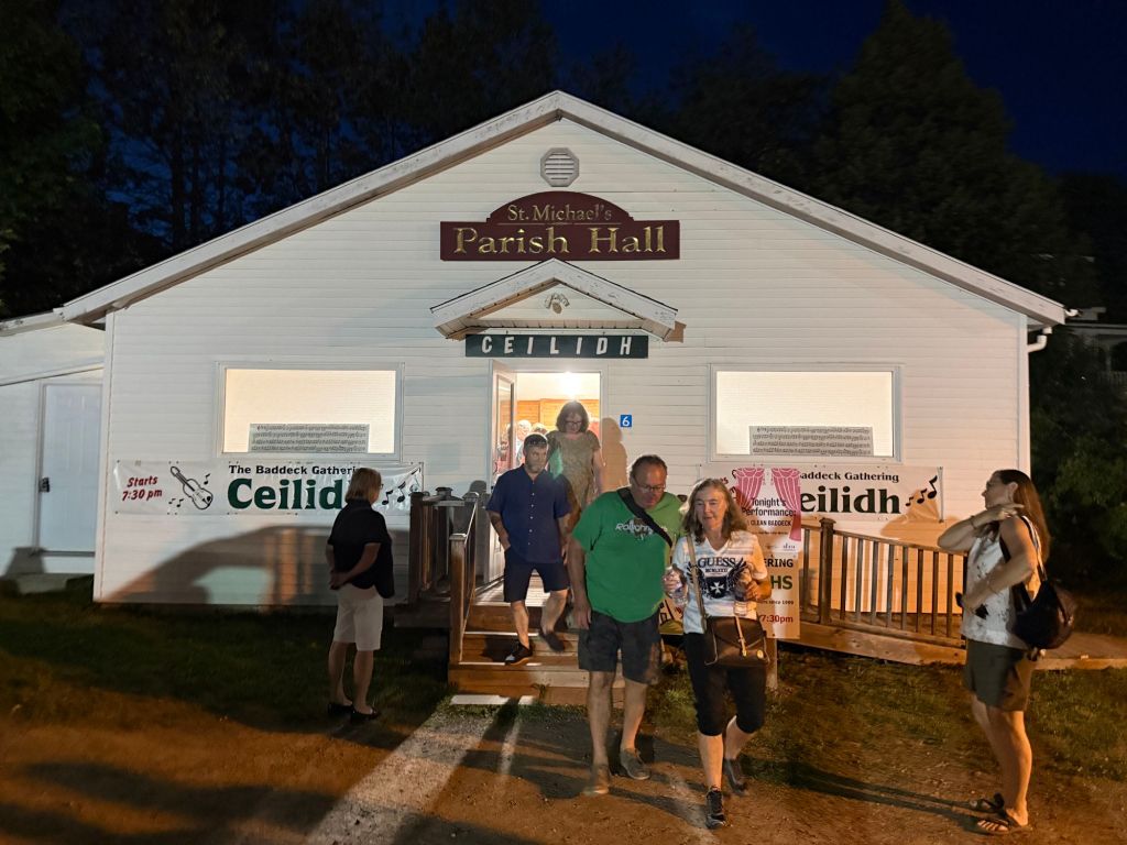
Ceilidh
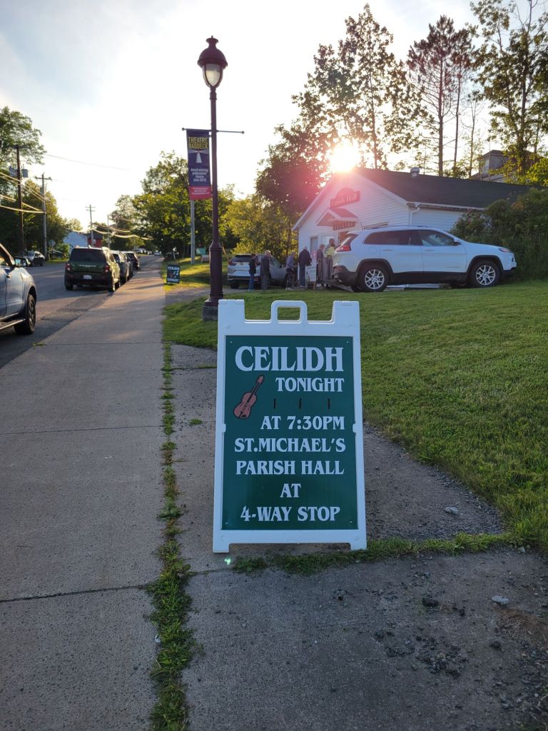
Apparently, no visit to Cape Breton would be complete without an old-fashioned Scottish ceilidh (pronounced kay-lee).
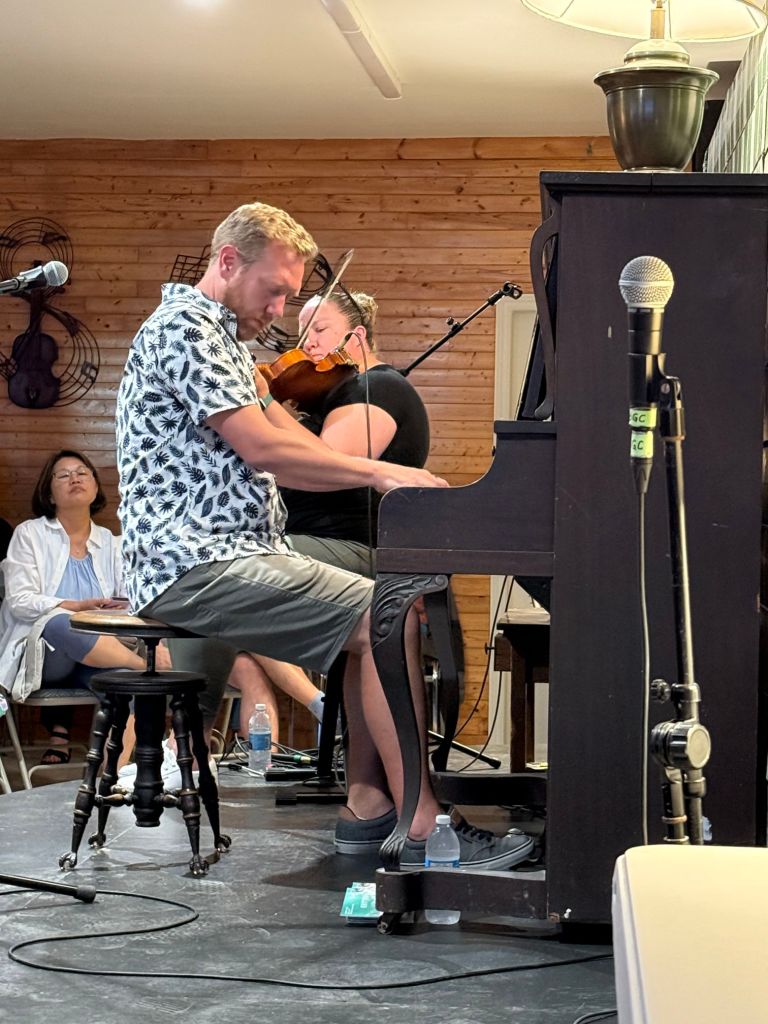
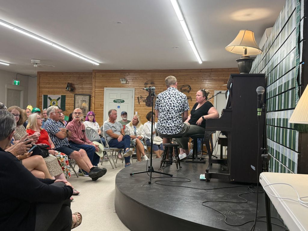
A ceilidh is an informal social gathering where people dance, sing, and tell stories. Although there was no dancing at the ceilidh that we attended, there was plenty of lively music and storytelling.
Then it was back to the camper for a much-needed rest.
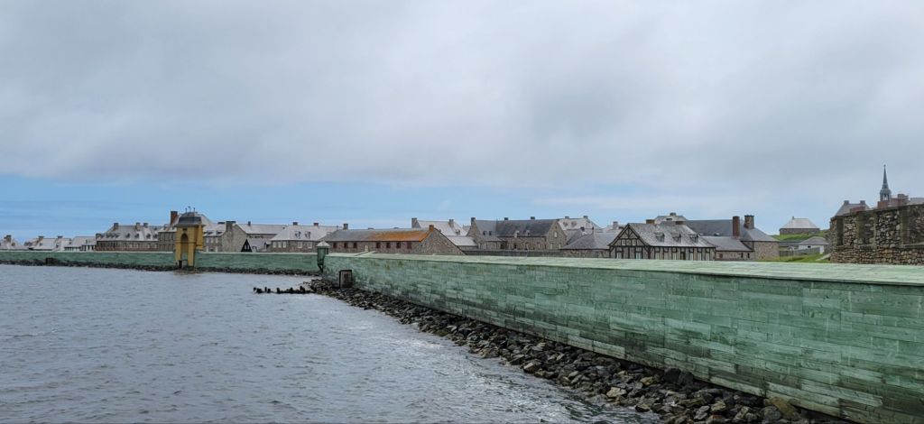
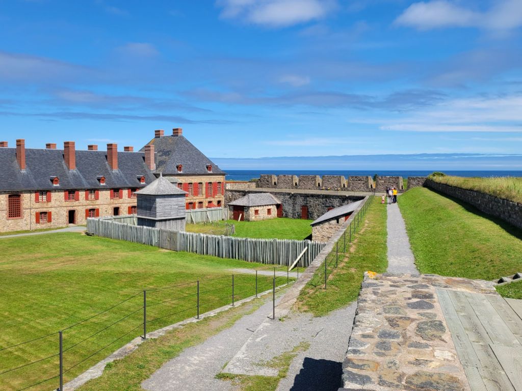
Today we took a tour of the Fortress of Louisbourg. I thought the weather was going to let us down again, but it eventually turned into an absolutely gorgeous day.
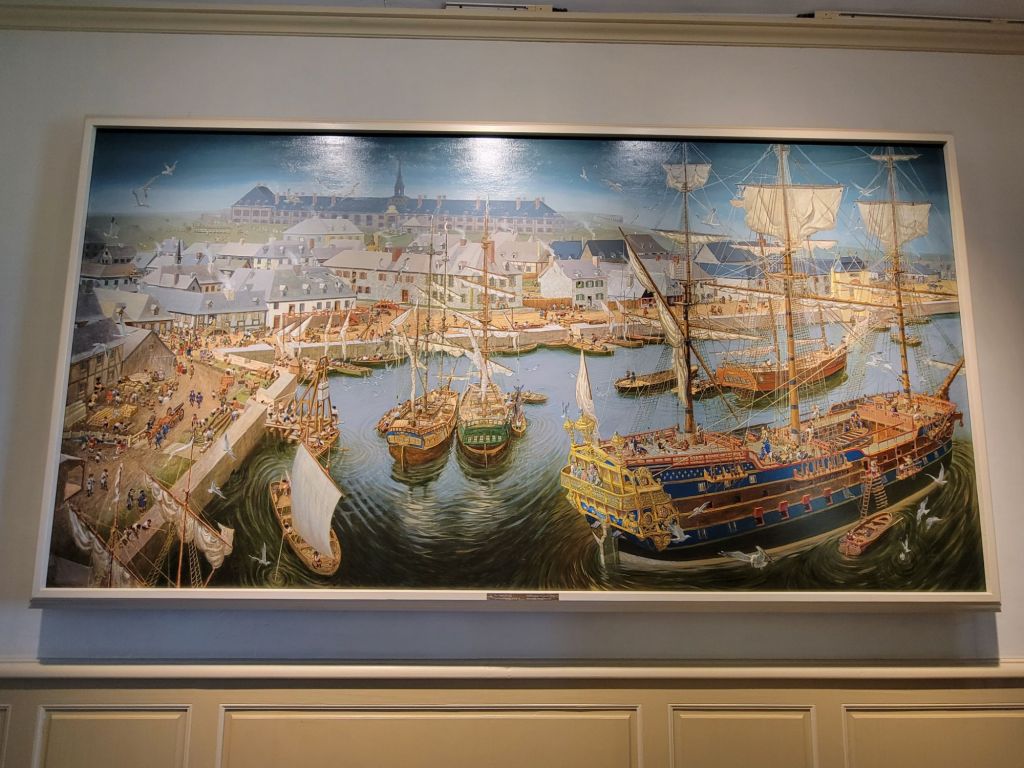
Fort Louisbourg was a French fishing colony that produced salted cod fish for France and Quebec. Despite the fact that it was basically a fishing village and port, it was also heavily fortified with a large military presence.
At one time, it was one of the busiest ports on the Eastern seaboard. The English attacked it twice, eventually destroying it.
Painting of the fortress
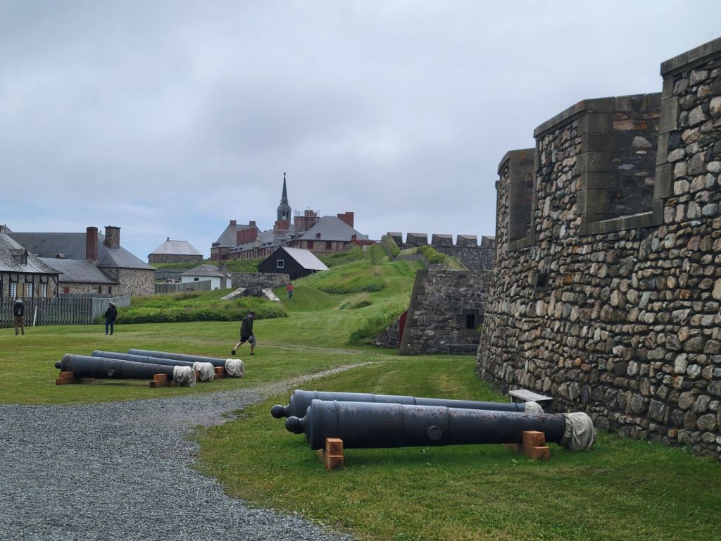
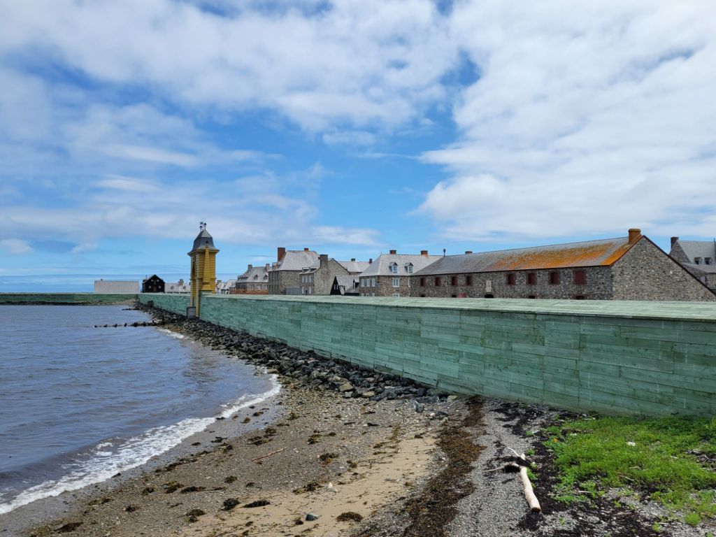
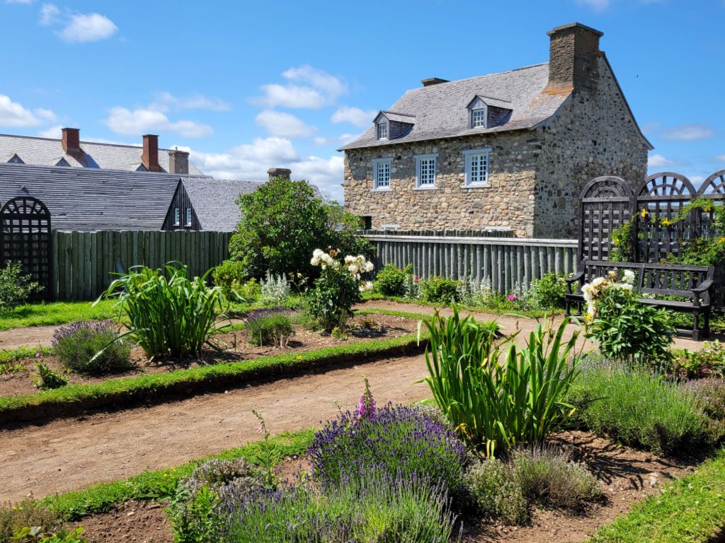
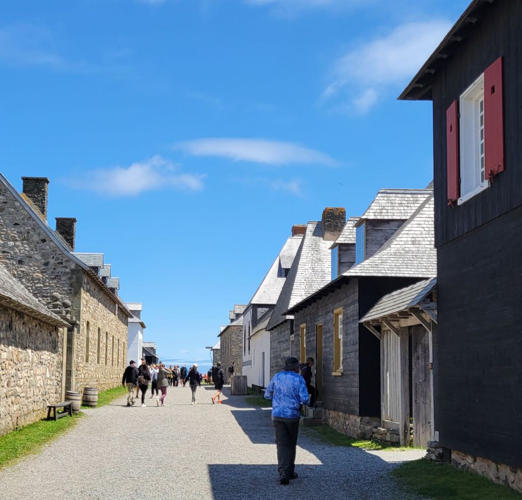
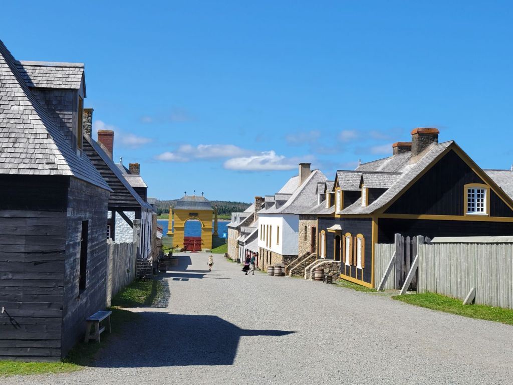
The fortress of Louisbourg is the largest historical reconstruction project on the Eastern Seaboard, possibly on the whole continent. It was amazing. It takes an entire day to go through. We didn’t even get to see everything.
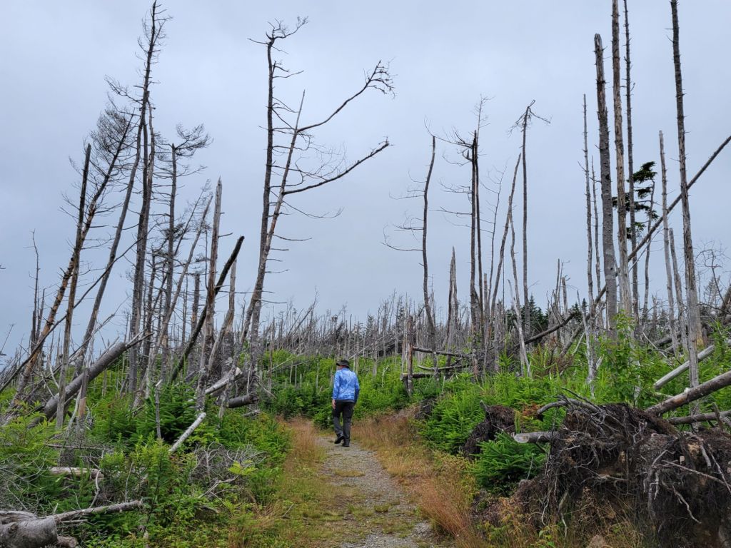
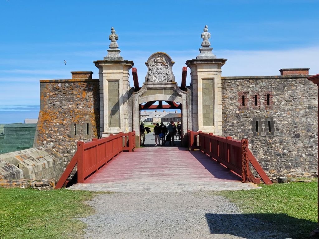
Walking from the parking lot to the visitor center was an eerie experience. A storm must have blown through this area sometime in the recent past. All of the trees were dead, and many of them were lying in the same direction.Heading into the fortressThe fortress is located on the eastern shore of Cape Breton
I’m probably going to post way too many pictures, but I was completely enthralled by this experience.
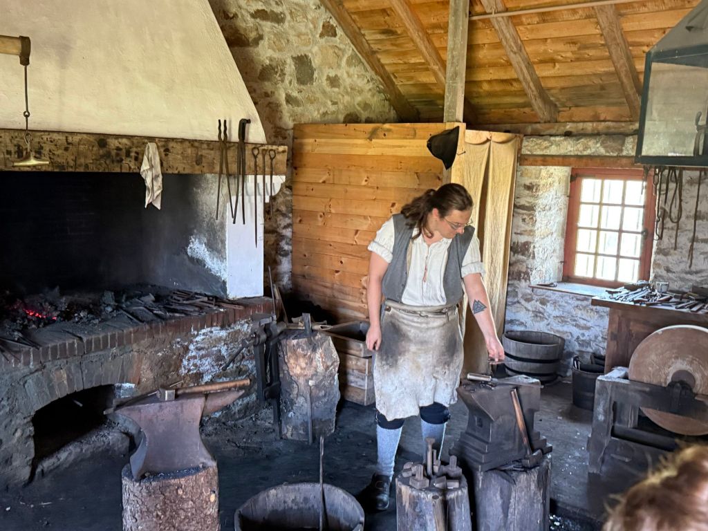
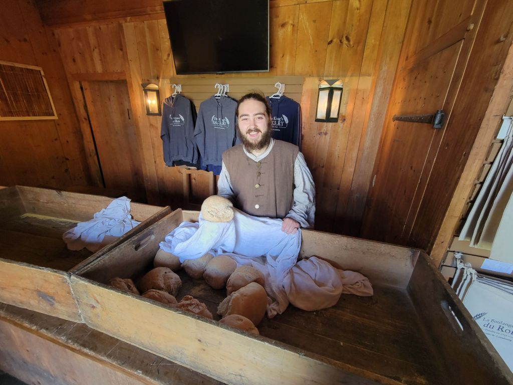
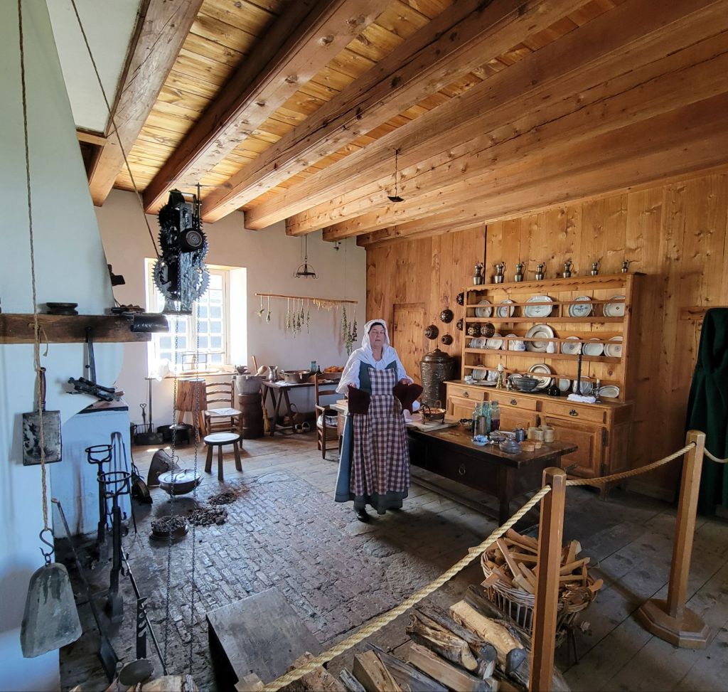
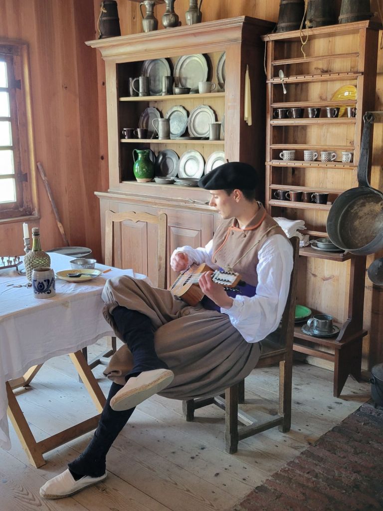
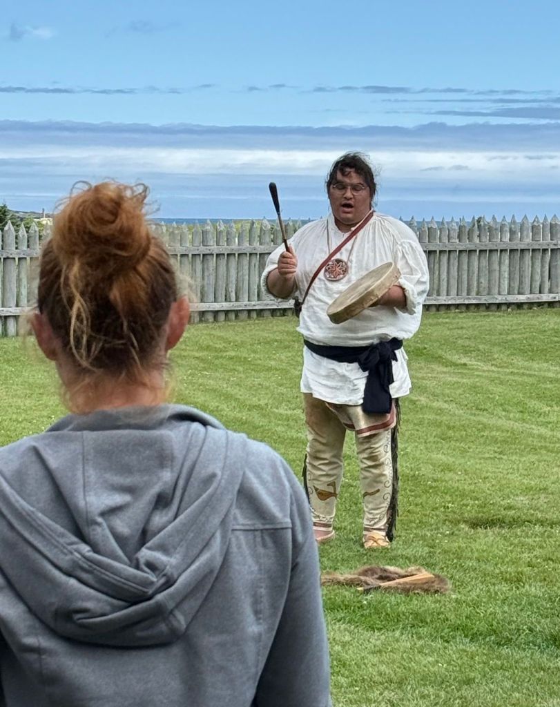
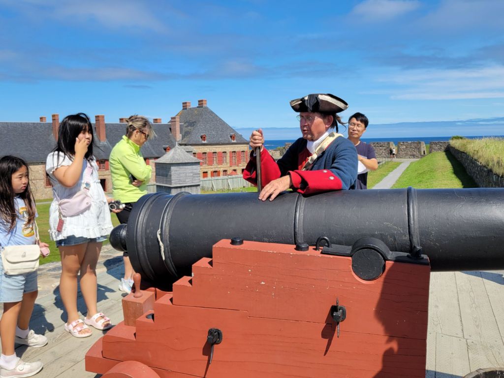
This fellow repaired metal hardware for the military. He was not allowed to create anything. Everything new had to come from France.This fellow was the baker. We bought one of his loaves of bread and had it for lunch because we had forgotten to bring our lunch from the car. It was still warm!This lady was the cook for the governor. She had just taken an apple crisp off the fire when we arrived. It was still bubbling.This young man was a native of the Basque region in Europe. He had a lovely accent and was so patient trying to explain the Basque language and culture to one of the other tourists. I didn’t know this, but the Basque language is the oldest language in Europe. It is completely different from French and Spanish, despite the fact that most of the Basque people live in either France or Spain.A member of the Mi’kmaq people did a presentation about the First Nation peoples of Cape Breton. Greg and I walked in at the end in time for the singing and drumming.
The Mi’kmaq people are native to Canada’s maritime provinces. Their name for Cape Breton is Unama’ki.
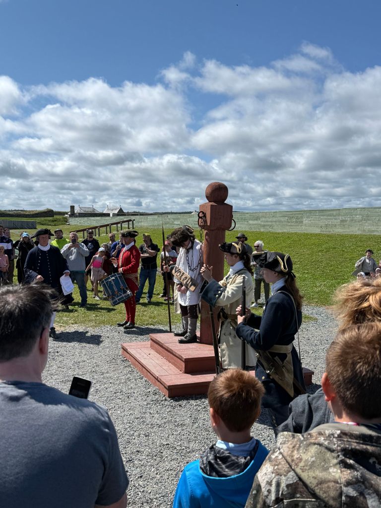
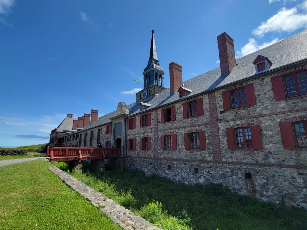
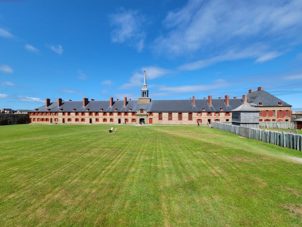
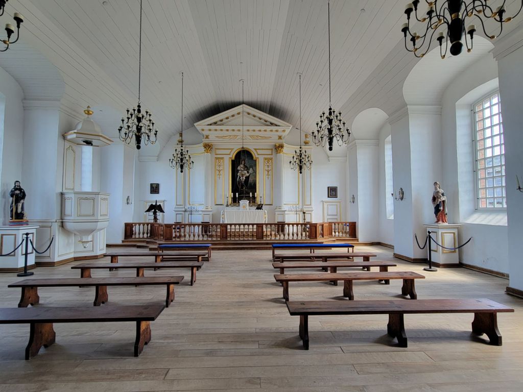
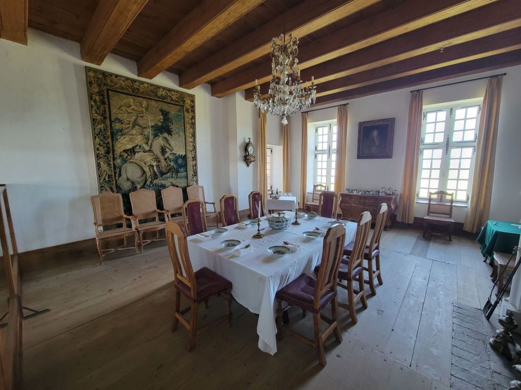
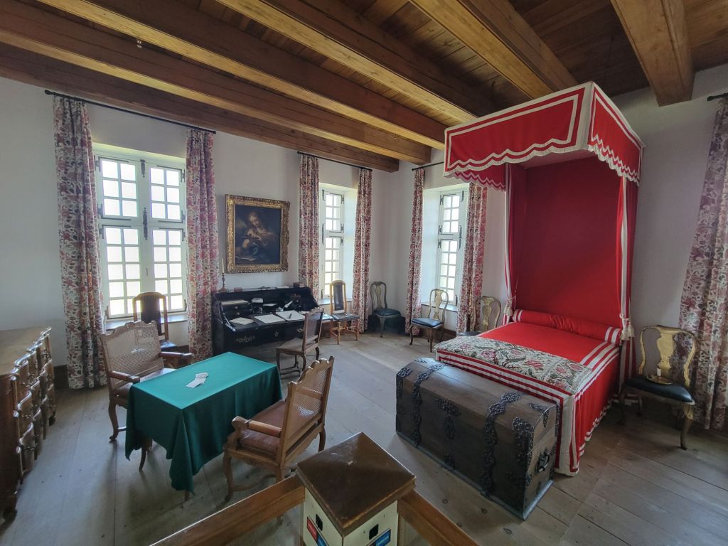
One of the colonists is suffering a public humiliation for some wrongdoing. The crowd was encouraged to yell insults at him.This photo shows the entrance to the Bastion of the King. On the left side is a chapel, and on the right side is the prison, some officers quarters, and the governor’s quarters.This photo shows the back of the Bastion of the King.This fellow explained some of the military fortifications, including the size of the cannons and how far they could shoot (a whole kilometer). The Fortress of Louisburg had some strategic weaknesses. Although it was easy to defend from the sea, it was easy to conquer from land.The chapel in the Bastion of the King.
Greg has some better photos of the streets, but unfortunately, cell service here is so bad that he’s been unable to send them to me.
It was a long day, but a great day. If my back hadn’t been hurting so much, we probably would have stayed longer.
Our next stop was Baddeck (emphasis on the second syllable), Cape Breton. After setting up the camper in a nice, out of the way and shady site, we headed to the visitor center to see what there was to do in Baddeck.
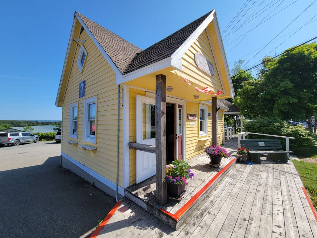
The visitor’s center
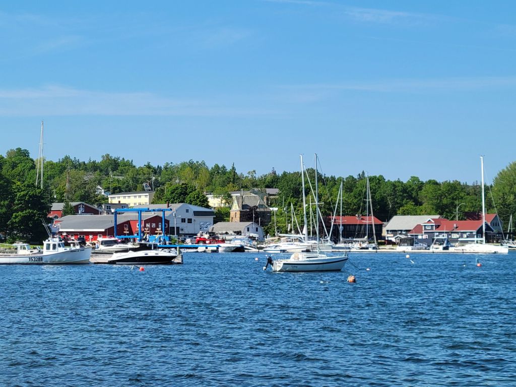
Afterward, we drove down to the harbor, struggled to find a parking spot, finally succeeded, and walked along the very pretty boardwalk.
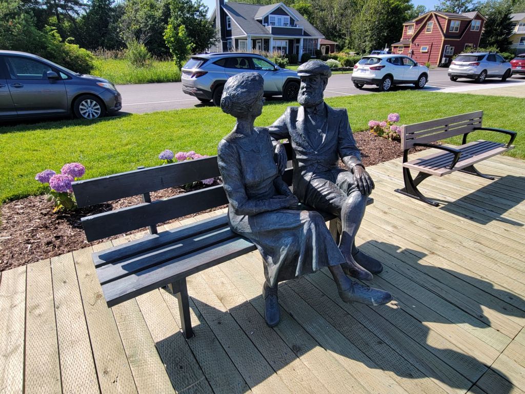
There were a couple of these metal sculptures scattered throughout the wharf area. I thought they were charming.
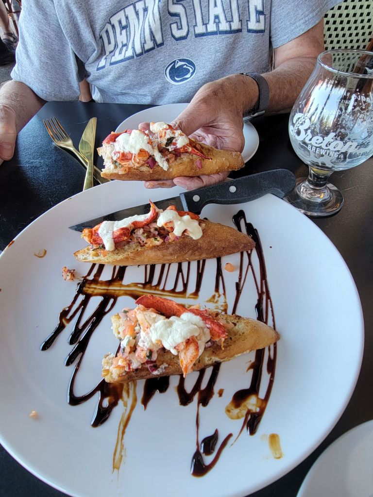
Greg was interested in getting a drink at the restaurant on the wharf. I talked him into having an appetizer to go with it. Our choice was lobster bruschetta, and it was delicious! I have also discovered my favorite cocktail, which is an aperol spritzer.
I immediately dug in, and only then thought to take a photo.
Cabot Trail
The next morning, we attempted to drive the Cabot Trail, which is a very famous scenic drive in Cape Breton. The weather was cloudy when we woke up, but as we got into the higher elevations, a fine mist made visibility difficult.
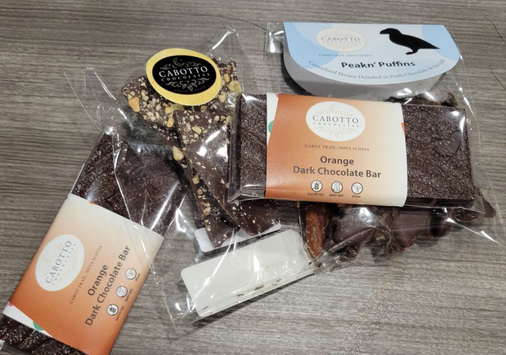
Greg decided it might be best to turn around and try the trail another day. But first, we stopped at a local chocolate shop to ask for information and, of course, to buy some chocolate.
I only thought to take the picture after we had already consumed some of the chocolate.
The ferry
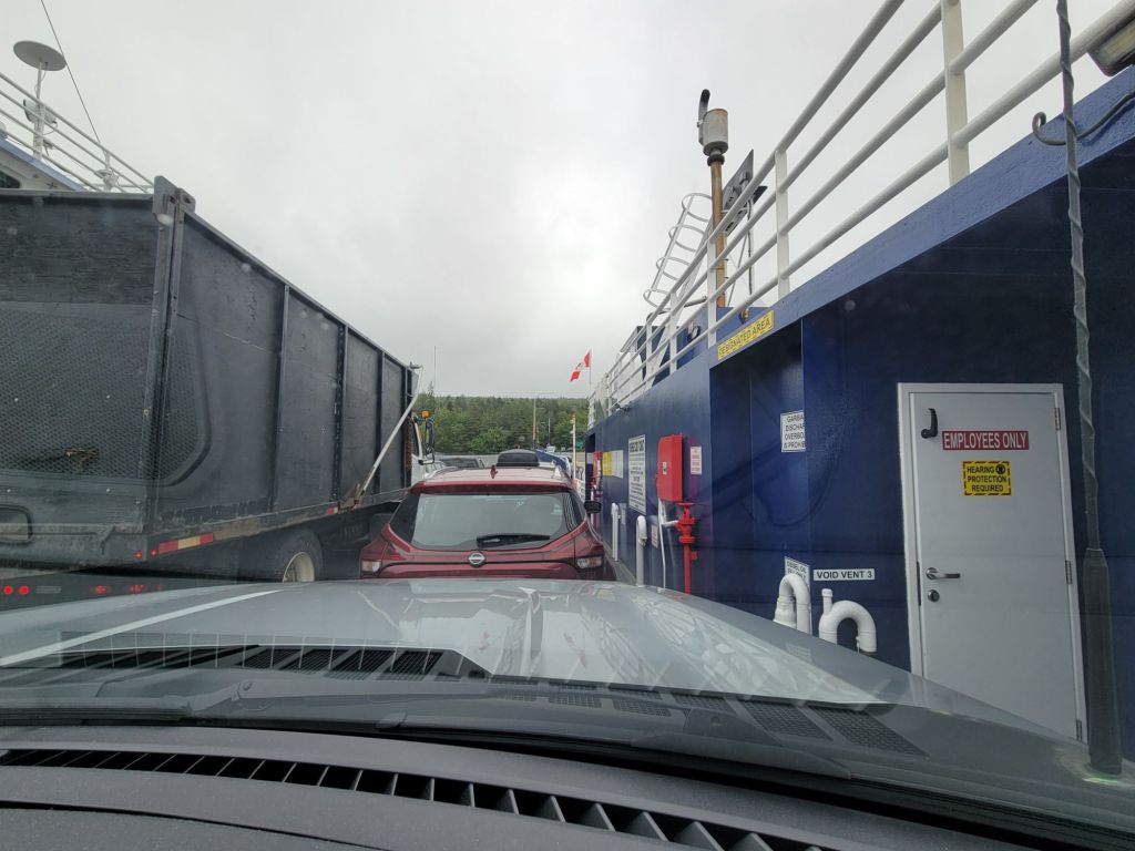
Greg decided to take the ferry to get back to Baddeck. I don’t think I’ve ever been on a ferry this small.
It took all of 5 minutes to get across the water on the ferry.
The Alexander Graham Bell Museum
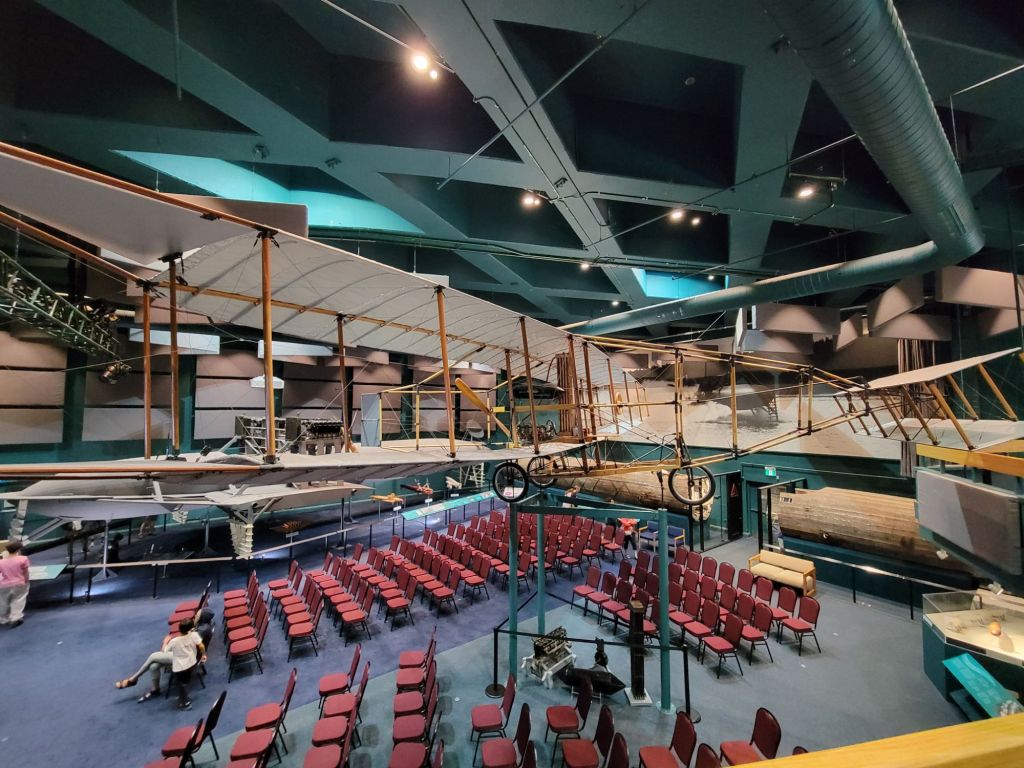
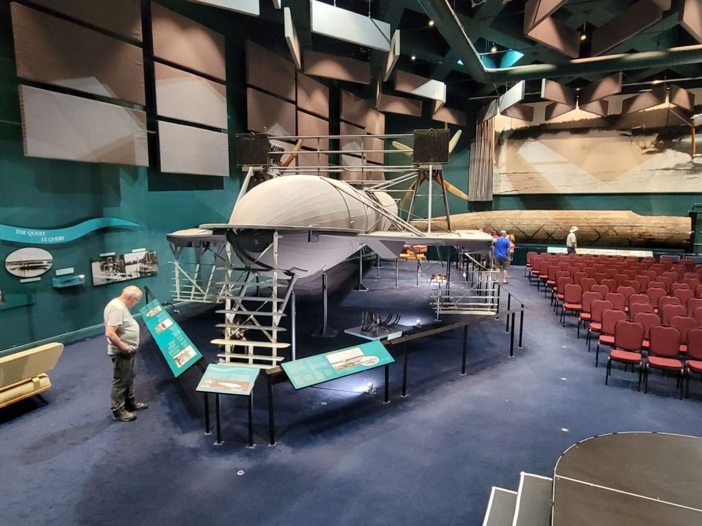
Since the weather was still lousy, we stopped at the Alexander Graham Bell Museum for a visit. Did you know that Alexander Graham Bell made his home in Baddeck, Nova Scotia, for many years?
Holy cow, Alexander Graham Bell was a busy guy! His early career involved teaching speech to deaf students. One of his students later became his wife, Mabel. He also taught Helen Keller and started a school for the deaf.
Teaching the deaf was not his only passion, however. As we know, he invented the telephone. He was also interested in the study of longevity, breeding sheep so that they always gave birth to twins, inventing a very fast boat using hydrofoils, experimenting with tetrahedrons, and making airplanes. In fact, he and his team won the American Scientific award for the first powered flight to travel 1 km.
Despite the iffy weather, I think we made the most of our day.

 Meanderings & Mind Munchies